Speyside Way Tomintoul Spur in Cairngorms National Park

Cairngorms National Park, SC

Speyside Way Tomintoul Spur

A long moorland crossing from Cragganmore to Tomintoul.

Photo: Wikimedia Commons
Length
24.9km
Time
7.5hr
Elev. change
380m
Difficulty
Challenging
  • Dogs allowed
  • High point 524 m
  • #104 of 260 in Cairngorms
Parkwolf audio tour298 stories across Cairngorms’s roads

Overview

About Speyside Way Tomintoul Spur

Why go

  • Wide highland views near Càrn Daimh
  • The Glenlivet crossing pairs a suspension bridge with a glimpse of Blairfindy Castle

Heads up

  • A long one-way day with roughly 865 m of climbing
  • Rough, boggy and exposed stretches can slow progress and complicate navigation in snow

Map & elevation

The route

Loading the Cairngorms map
Full map
Elevation144–524 m
TrailheadBallindalloch Station / Cragganmore57.41230, -3.38810
Keep this map with you offline in the Parkwolf app

Plan your hike

Before you go

Parking

The full route starts at the Cragganmore picnic area beside Ballindalloch Station. Auldich has a small car park and cuts about 2.5 miles from the opening road approach. Finish at Campdalmore car park in Tomintoul; arrange a return between the two ends before setting out.

Safety

This is a long, exposed route with about 865 m of ascent, rough and boggy moorland, and waymarkers that can be hard to follow in snow. Take care crossing the A95. Dogs are allowed under proper control; keep them close around farm animals and ground-nesting birds, especially April through July.

3 active Cairngorms alerts

  • CautionStorm Boelo high windsStorm Boelo will bring extremely windy weather to the Cairngorms; take extra care and limit time outdoors. - The Park Authority expects the very windy weather to last until Monday 26 October.Official details
  • ClosureGlenmore wildfire closures and dangerous treesWildfire damage has closed Allt Mor car park and the path to Sugarbowl/Utsi’s Bridge; keep out of the closed area.Official details
See all 3 alerts
A park ranger sits on a dash-mounted phone, talking, as Parkwolf’s Tour Guide plays “Army Cutworm Moths: A Grizzly Bear Buffet” on Grand Loop Road below Dunraven Pass in Yellowstone
Parkwolf Tour GuideThe highest, rockiest slopes around here are a summer buffet for grizzly bears.

Cairngorms Tour Guide

Your drive to Speyside Way Tomintoul Spur, narrated.

Parkwolf is a GPS audio tour guide for Cairngorms National Park. As you drive, it chimes in with what’s ahead: hidden gems, upcoming stops, history, geology, and wildlife, right through your car’s speakers.

See the Cairngorms audio tour

More stories near here in the app

  • The Bird That Mews Overhead
  • Beneath the Mushroom
  • Drumin Castle and its Orchard
  • The Wolf Who Burned a Cathedral
  • 298 audio storiesacross Cairngorms’s roads, triggered by GPS as you drive
  • Wildlife heatmapsfor Red Deer, Reindeer, Osprey, and 13 more
  • Works offlinemaps, 260 trails, 90 places, and audio download before you lose signal
  • CarPlay readysimple controls built for the drive
★★★★★
“Fantastic app with many points of information… It’s great to just turn on while you’re driving and it gives you an audio tour of the national Park. We love it!!!!”
JMJamesApp Store review
Download Parkwolf on the App StoreGet Parkwolf on Google Play

4.7 from 8,600+ ratings

Trail guide

Hiking Speyside Way Tomintoul Spur

A long crossing, not a circuitSpeyside Way Tomintoul Spur is a roughly 15.

Speyside Way Tomintoul Spur is a roughly 15.5-mile, one-way walk from Ballindalloch Station and Cragganmore to Tomintoul, across the Glenlivet hills and open moorland. Published figures fall between 15 and 15.5 miles; plan on the longer end for the full station-to-Tomintoul route. Allow about seven to eight hours, with roughly 865 m of ascent. I'd choose it for a proper Highland crossing, not as an easy extra after a short stop. The two ends are far apart, so sort out your return before you set off.

Start by BallindallochFrom the Cragganmore picnic area beside Ballindalloch Station, the marked route climbs along…

From the Cragganmore picnic area beside Ballindalloch Station, the marked route climbs along the road, crosses the A95 and reaches the Bridge of Avon. The old stone bridge sits beside the modern road bridge. This opening road stretch is the least rewarding part of the day; get it done early and save your time for the hills.

Over Hill of DeskieFrom Auldich the route leaves the public road, climbs below Cairnacay and crosses heather…

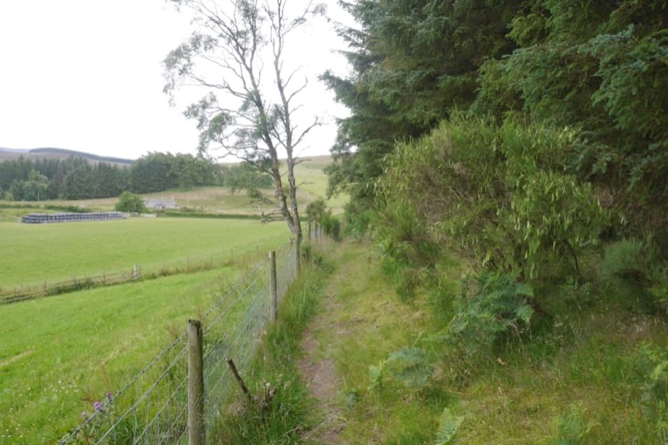
From Auldich the route leaves the public road, climbs below Cairnacay and crosses heather moorland by fence lines, gates and waymarkers. Some stretches are rough and boggy, and snow can hide the markers. The route drops through fields around Deskie toward Glenlivet Public Hall before the next climb.

Through GlenlivetThe trail crosses the River Livet on a suspension footbridge, passes Glenlivet Distillery and…

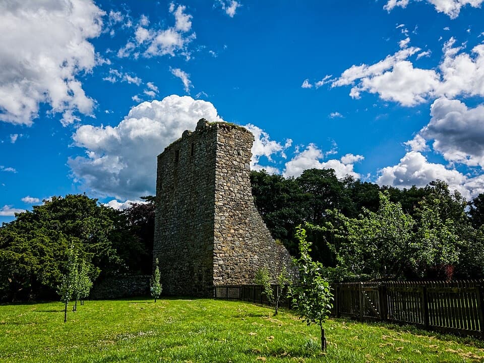
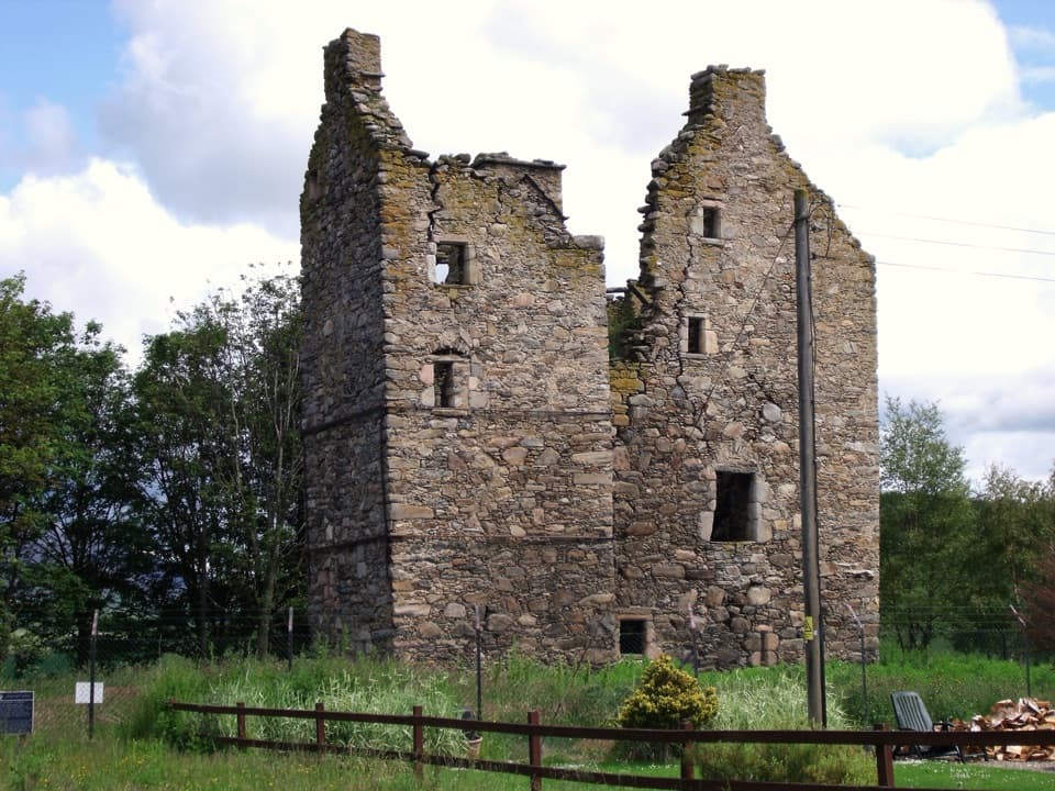
The trail crosses the River Livet on a suspension footbridge, passes Glenlivet Distillery and Josie's Well, then gives a view down to the ruins of Blairfindy Castle. The hill routes around this glen were used by whisky smugglers and cattle thieves in the 17th and 18th centuries. That history fits the landscape: this is a crossing through old hill country, not just a link between two villages.

The high moorAfter Glenlivet, the path climbs beside forestry and opens onto high ground near Càrn Daimh.

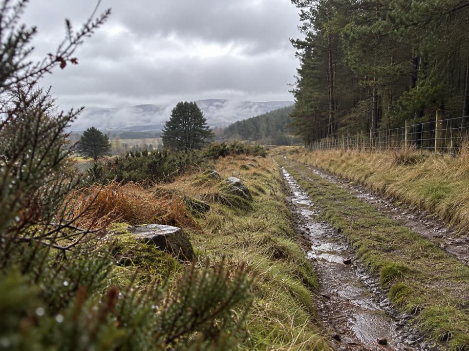
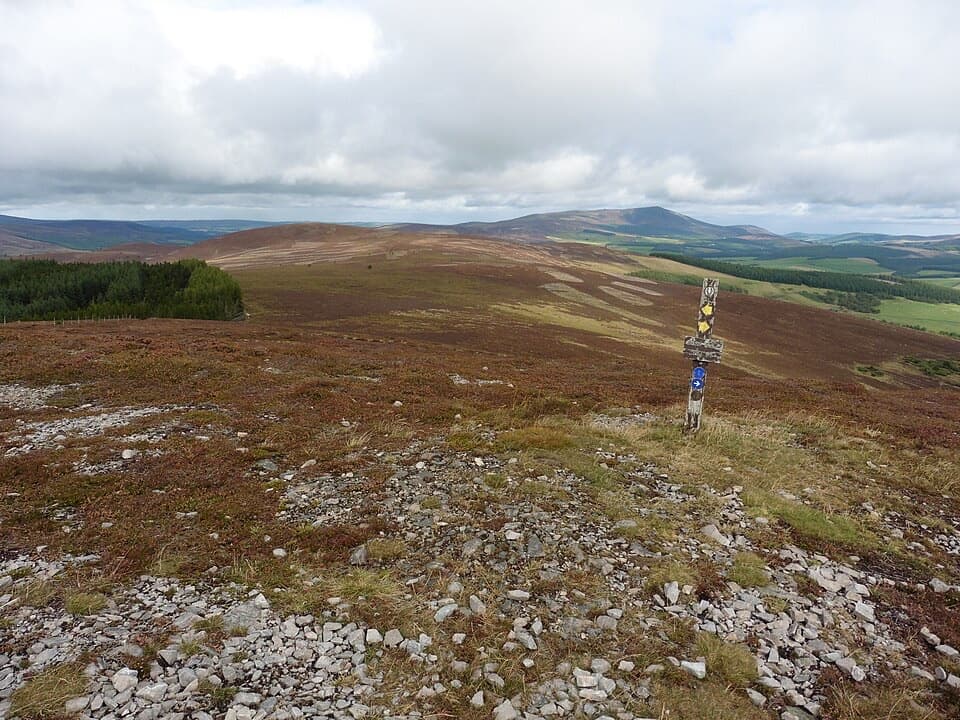
After Glenlivet, the path climbs beside forestry and opens onto high ground near Càrn Daimh. The views spread over Glenlivet and toward Tomnavoulin, with the Cairngorms in the distance. This is the best place to stop and look back; a little path in the frame helps show how wide the moor is. The open climb is exposed, so this is where poor weather or snow can make the day feel much harder.

Down to TomintoulA stony track descends through forestry, where the ground can be muddy, then crosses heath and…

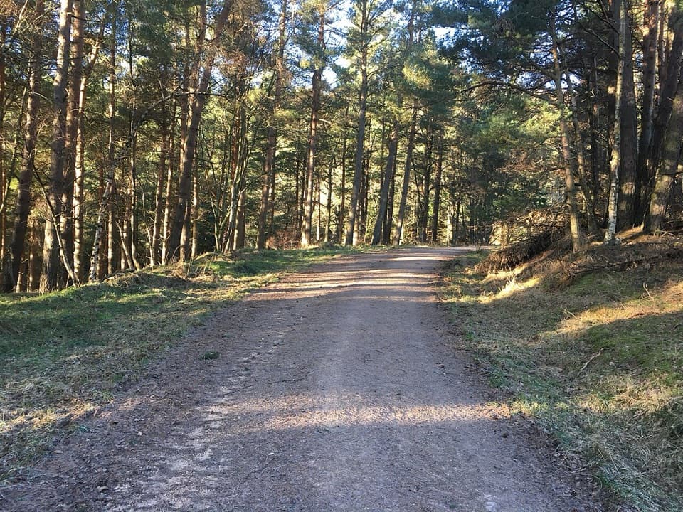
A stony track descends through forestry, where the ground can be muddy, then crosses heath and improves toward Chabet Water. Fields, small footbridges and steps lead on to Campdalmore and Tomintoul. The route stays a point-to-point walk all the way: there is no loop back to Ballindalloch.

A shorter startIf the road approach is not worth the extra miles for you, start at the small Auldich car park.

If the road approach is not worth the extra miles for you, start at the small Auldich car park. It cuts about 2.5 miles from the opening approach, but you still need to arrange transport from Tomintoul. This is not a buggy or wheelchair route. Dogs can use Scotland's outdoor access routes when kept under proper control; keep them close around farm animals and ground-nesting birds, especially from April through July.

Wildlife

Wildlife in Cairngorms

All Cairngorms wildlife maps

Sighting maps show where each species has been reported across Cairngorms. Wildlife moves, so no sighting is guaranteed.

Keep exploring

Near Speyside Way Tomintoul Spur

See it all on the map

Trails that start nearby

Places near the trailhead

Parkwolf’s Cairngorms ranking

Top-rated trails in Cairngorms

All 260 trails
  1. 1Loch an Eilein CircuitEasy · 5 km
  2. 2Lairig GhruChallenging · 30.6 km
  3. 3Ben Macdui and Cairn Gorm CircuitChallenging · 19.8 km
  4. 4Loch Morlich TrailModerate · 5.6 km
  5. 5Meall a’ Bhuachaille CircuitChallenging · 8 km
  6. 6Loch Muick CircuitModerate · 12.5 km

Take Parkwolf to Cairngorms.

The audio tour guide for the drive, plus offline maps, trails, and wildlife heatmaps for when the signal drops.

4.7 from 8,600+ ratings

Download Parkwolf on the App StoreGet Parkwolf on Google Play