Parking
Start at Elephant Hill Trailhead, reached by a three-mile unpaved road from Salt (Squaw) Flat Campground. The hike then follows Elephant Hill's 4WD road on foot for about 3.5 miles.
Canyonlands National Park, UT
A strenuous backcountry descent to the Colorado and back
Overview
Map & elevation
Plan your hike

The highest, rockiest slopes around here are a summer buffet for grizzly bears.
Canyonlands Tour Guide
Parkwolf is a GPS audio tour guide for Canyonlands National Park. As you drive, it chimes in with what’s ahead: hidden gems, upcoming stops, history, geology, and wildlife, right through your car’s speakers.
See the Canyonlands audio tourRecorded for this trailhead
Elephant Hill and Druid Arch“You're nearing Elephant Hill Trailhead, where the hike to Druid Arch begins.”
Plays as you drive up to this trailhead in the Parkwolf Canyonlands Tour Guide.
More stories near here in the app
“Fantastic app with many points of information… It’s great to just turn on while you’re driving and it gives you an audio tour of the national Park. We love it!!!!”


Trail guide
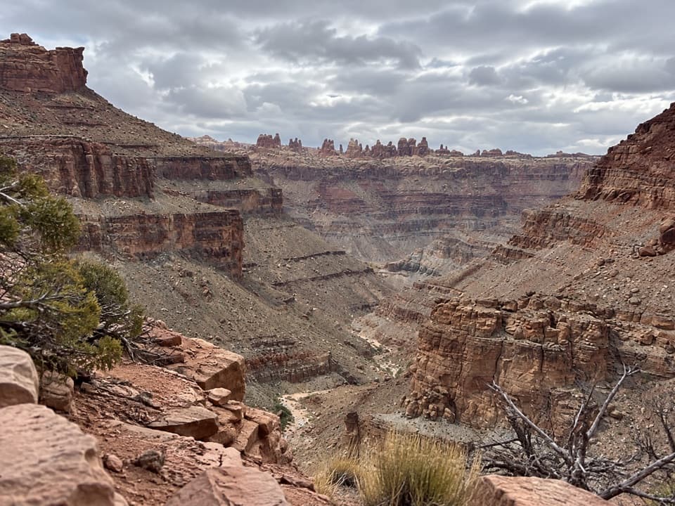
Lower Red Lake Canyon is an out-and-back from Elephant Hill Trailhead through the Grabens to the Colorado River. Plan for 18.8 miles round trip. The mapped line to the river is about 8.6 miles one way, while other route estimates run roughly 17 to 19 miles round trip; use the longer planning figure and check the current park map. The steep descent has to be climbed again. Strong hikers may attempt it in a long day, but the park recommends a multi-day hike; overnight backpacking requires an at-large permit.
The trailhead is reached by a three-mile unpaved road from Salt (Squaw) Flat Campground. The first roughly 3.5 miles of the hike follow Elephant Hill's 4WD road on foot before the route leaves it. The backcountry is remote and trails may be faint or poorly marked; cairns help at junctions, but carry a topographic map. There is no water before the Colorado River, and water in this backcountry is scarce and unreliable, so carry enough for the full trip rather than counting on a source at the end.
The opening road section passes through Devils Pocket and Devils Lane, where broad, sandy and grassy floors run between long, straight red-rock ridges. Views open toward the Needles and, from parts of Elephant Hill, the La Sal Mountains. At the junction for Red Lake Canyon, the route leaves the road and crosses the faulted landscape of the Grabens.
The route avoids dry falls by leaving the canyon floor, then descends a steep, switchbacking slope into Cyclone Canyon. In upper Red Lake Canyon, it follows a broad sandy wash, crosses to the west side, and climbs briefly but steeply to a pass above the deeper lower canyon. That higher traverse is shorter than staying down in the drainage.
A bench above pour-offs leads toward the lower canyon, with views down the narrowing ravine. The steepest section drops about 500 feet to a sandy, rocky creek bed, roughly 1.5 miles from the Colorado. The final ravine bends through orange-brown exposures of the Paradox Salt Formation; the river stays screened until close to the end. This overlook above the canyon is the route's strongest photo stop.
The official route finishes in overgrowth beside the Colorado River, rather than at a broad open overlook or an obvious river-access point. Across the water are Spanish Bottom and the Maze's Sentinel spires, at the upper end of Cataract Canyon. Plan the turnaround and water carried for the return without assuming the riverbank will be easy to reach.
Wildlife
 48 sightingsBighorn SheepMost seen around 7 AMSighting map
 47 sightingsMule DeerMost seen around 7 AMSighting map
 12 sightingsCoyoteMost seen around 7 PMSighting map
 30 sightingsWestern RattlesnakeMost seen around 7 PMSighting map
 18 sightingsTurkey VultureMost seen around 11 AMSighting map
 18 sightingsWild TurkeyMost seen around 7 AMSighting map
Sighting maps show where each species has been reported across Canyonlands. Wildlife moves, so no sighting is guaranteed.
Keep exploring
 ChallengingDruid Arch Trail10.8 mi · 6 hr · At the trailheadA long canyon hike to a giant sandstone arch.
 ChallengingChesler Park Viewpoint Trail5.8 mi · 3.5 hr · At the trailheadA rocky climb to the pass above Chesler Park's grass and spires.
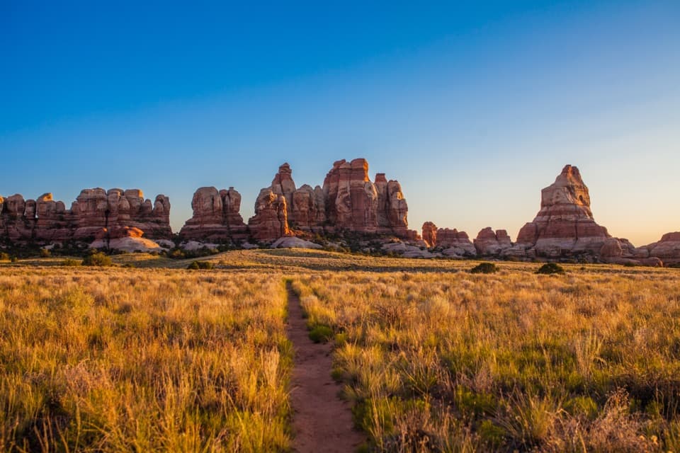 ChallengingChesler Park Loop and Joint Trail10.7 mi · 6 hr · At the trailheadA spire-ringed meadow and narrow rock passages reward a full-day loop.
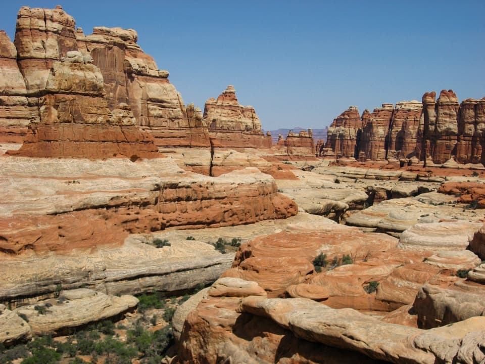 ChallengingBig Spring Canyon to Elephant Canyon Loop Trail10.5 mi · 5 hr · 1.3 mi awayTwo ladders cross a slickrock pass between Big Spring and Elephant.
 ModerateBig Spring to Wooden Shoe Canyon Loop Trail7.5 mi · 3.5 hr · 1.3 mi awayTwo canyons, one high saddle, and a rougher route between them.
 ChallengingPeekaboo Trail10.8 mi · 6 hr · 1.3 mi awayTwo ladders and high slickrock make this a serious Needles day hike.
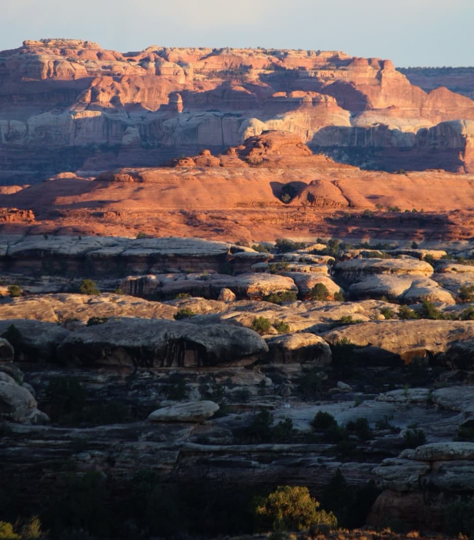 ChallengingWooden Shoe Canyon to Lost Canyon Loop Trail8.7 mi · 5.5 hr · 1.3 mi awayTwo canyon floors, slickrock climbs, and one ladder in a rugged loop.
 ModerateDevils Kitchen to Elephant Canyon Trail5.2 mi · 3.5 hr · 1.8 mi awayA remote through-hike past red needles into Elephant Canyon.
 Campground · 1.5 mi awayThe Needles CampgroundCamp among sandstone spires, with Needles hikes close at hand.
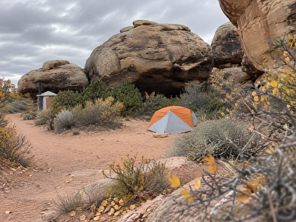 Campground · 1.9 mi awayDevils Kitchen CampgroundA four-site backcountry camp reached by the technical Elephant Hill road.
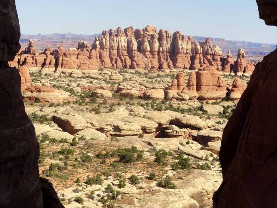 Sight · 1.9 mi awayChesler Park ViewpointA grassland basin ringed by stone needles, earned on a long hike.
 Picnic area · 2 mi awayNeedles Scenic Drive Picnic AreaA shaded stop where rain brings tiny desert creatures to life.
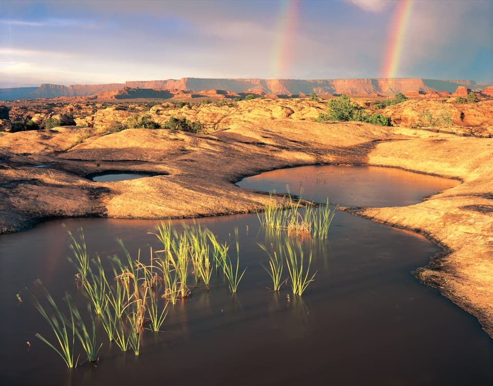 Sight · 2.3 mi awayPothole PointRain-fed pools bring a small world to life on bare sandstone.
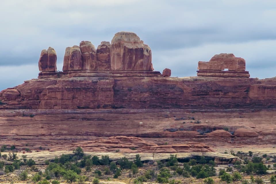 Sight · 2.6 mi awayWooden Shoe Arch OverlookA quick stop for one unmistakable shoe-shaped arch.
 Sight · 2.6 mi awayBig Spring Canyon OverlookSpires and sandstone benches line a bend in Big Spring Canyon.
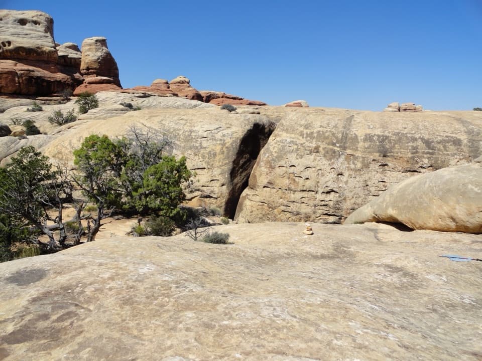 Sight · 3 mi awayThe JointA shaded quarter-mile passage through deep Cedar Mesa sandstone fractures.
Parkwolf’s Canyonlands ranking

The audio tour guide for the drive, plus offline maps, trails, and wildlife heatmaps for when the signal drops.


