Parking
No Cyclone-specific parking area is marked. The mapped south end is a backcountry junction on Red Lake Canyon Trail, not a verified roadside trailhead; confirm a legal approach and return route with the park before setting out.

Canyonlands National Park, UT
A sandy 2.41-mile connector through a faulted canyon.
Overview
Map & elevation
Plan your hike

The highest, rockiest slopes around here are a summer buffet for grizzly bears.
Canyonlands Tour Guide
Parkwolf is a GPS audio tour guide for Canyonlands National Park. As you drive, it chimes in with what’s ahead: hidden gems, upcoming stops, history, geology, and wildlife, right through your car’s speakers.
See the Canyonlands audio tourMore stories near here in the app
“Fantastic app with many points of information… It’s great to just turn on while you’re driving and it gives you an audio tour of the national Park. We love it!!!!”


Trail guide
Cyclone Canyon Trail is a 2.41-mile one-way connector along a sandy canyon floor. The mapped segment starts at its junction with Red Lake Canyon Trail and runs north through Cyclone Canyon; allow about 1.5 hours for this segment alone. It is not a loop, and a longer approach or return to a car adds mileage.
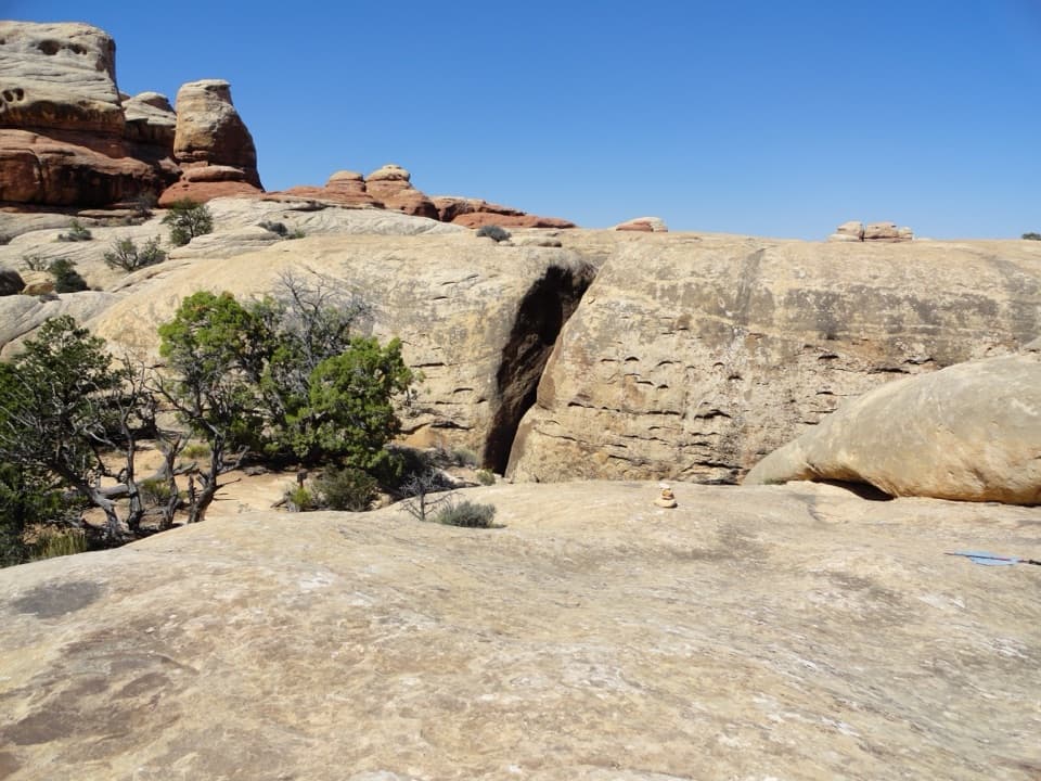
The route follows the bottom of a fault-bounded graben between layered sandstone walls. The tread is sandy and relatively level, but loose sand can slow the walk. There is little shade, and no dependable water is identified in the surrounding Needles backcountry.
No Cyclone-specific parking area or signed roadside trailhead is confirmed. The mapped south end joins Red Lake Canyon Trail; at the north end, the mapped route stops near the Confluence Overlook trail, but the exact connection is not established here. Confirm a complete approach and return plan with the park before setting out. Needles backcountry roads require high clearance and low-range four-wheel drive, and pets are prohibited on hiking trails. A longer 3.8-mile point-to-point listing uses different endpoints; this entry covers only the 2.41-mile named corridor.
Wildlife
 48 sightingsBighorn SheepMost seen around 7 AMSighting map
 47 sightingsMule DeerMost seen around 7 AMSighting map
 12 sightingsCoyoteMost seen around 7 PMSighting map
 30 sightingsWestern RattlesnakeMost seen around 7 PMSighting map
 18 sightingsTurkey VultureMost seen around 11 AMSighting map
 18 sightingsWild TurkeyMost seen around 7 AMSighting map
Sighting maps show where each species has been reported across Canyonlands. Wildlife moves, so no sighting is guaranteed.
Keep exploring
 ModerateDevils Kitchen to Elephant Canyon Trail5.2 mi · 3.5 hr · 1.3 mi awayA remote through-hike past red needles into Elephant Canyon.
 ChallengingSpanish Bottom Trail2.1 mi · 2.4 hr · 2.9 mi awaySteep river climb to the Doll House, with fossils in the rock.
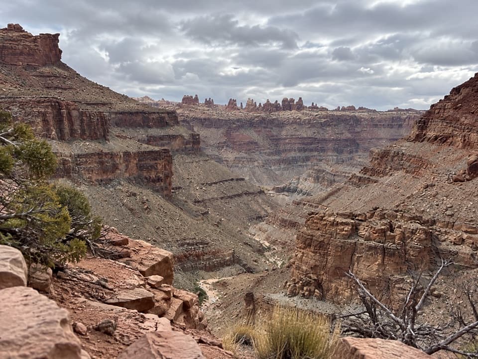 ChallengingLower Red Lake Canyon Trail18.8 mi · 14 hr · 2.9 mi awayA strenuous backcountry descent to the Colorado and back
 ChallengingDruid Arch Trail10.8 mi · 6 hr · 3 mi awayA long canyon hike to a giant sandstone arch.
 ChallengingChesler Park Viewpoint Trail5.8 mi · 3.5 hr · 3 mi awayA rocky climb to the pass above Chesler Park's grass and spires.
 ModerateJoint Trail3 mi · 2 hr · 3 mi awayA walk through a deep, shaded sandstone fracture.
 ChallengingChesler Park Loop and Joint Trail10.7 mi · 6 hr · 3 mi awayA spire-ringed meadow and narrow rock passages reward a full-day loop.
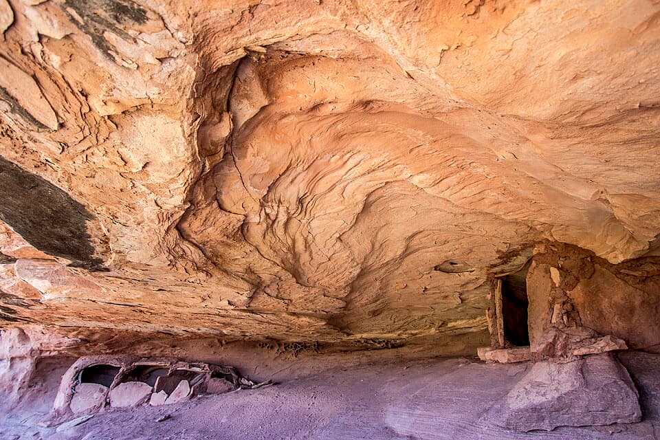 ModerateGranary Trail1.9 mi · 2 hr · 3.7 mi awayA tight sandstone squeeze, an alcove granary and Colorado River views.
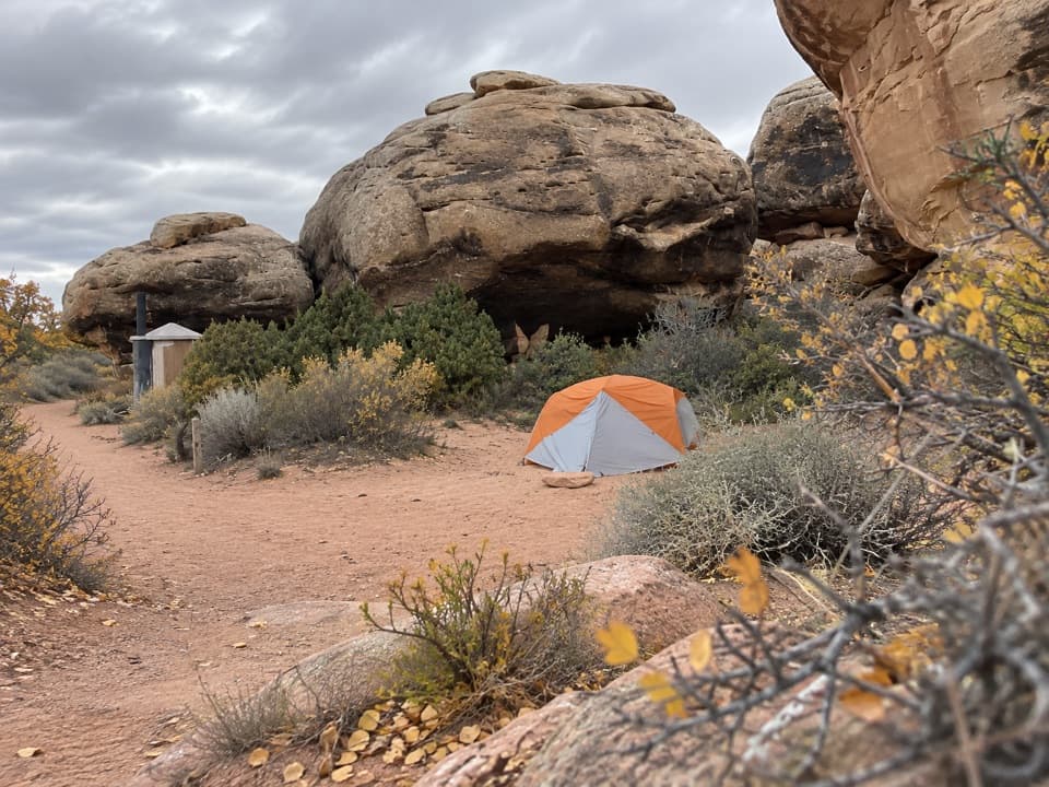 Campground · 1.2 mi awayDevils Kitchen CampgroundA four-site backcountry camp reached by the technical Elephant Hill road.
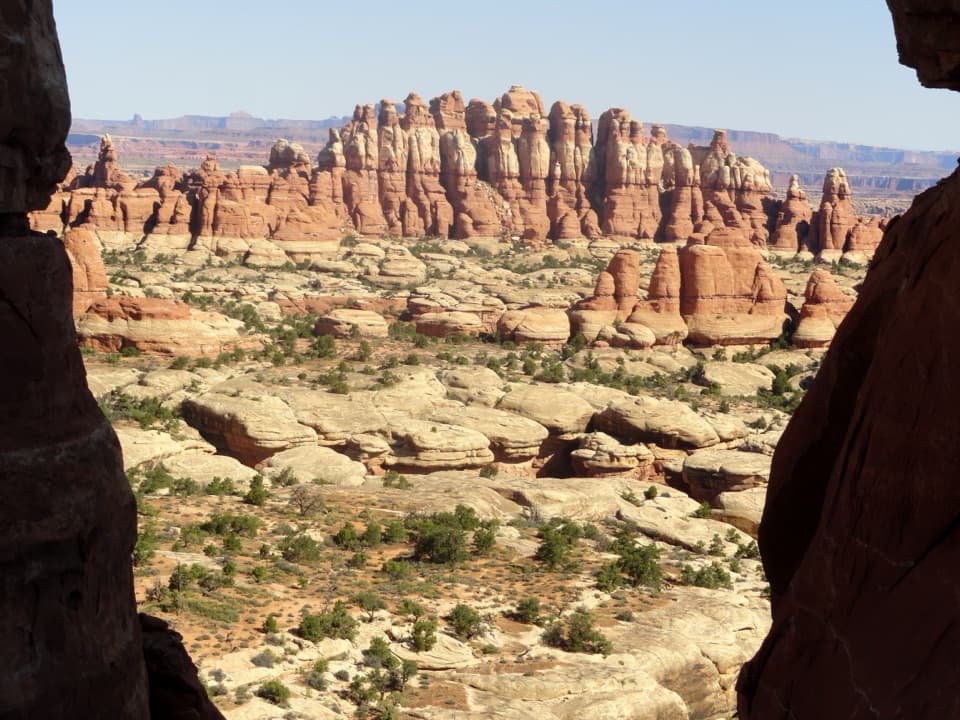 Sight · 2.5 mi awayChesler Park ViewpointA grassland basin ringed by stone needles, earned on a long hike.
 Sight · 2.6 mi awayConfluence OverlookAn 11-mile hike to where the Green and Colorado meet.
 Sight · 3.1 mi awayThe JointA shaded quarter-mile passage through deep Cedar Mesa sandstone fractures.
 Campground · 3.5 mi awayBobby Jo Camping AreaA two-site desert camp reached by a technical low-range 4WD road.
 Sight · 3.8 mi awayThe Doll HouseA sandstone spire city at the end of a six-hour 4WD route.
 Sight · 4.2 mi awayBig Spring Canyon OverlookSpires and sandstone benches line a bend in Big Spring Canyon.
 Picnic area · 4.3 mi awayNeedles Scenic Drive Picnic AreaA shaded stop where rain brings tiny desert creatures to life.
Parkwolf’s Canyonlands ranking

The audio tour guide for the drive, plus offline maps, trails, and wildlife heatmaps for when the signal drops.


