Parking
Start at Spanish Bottom Trailhead in the Doll House, at the remote road end. Reach it via the high-clearance 4WD roads through The Maze. Walk east about 150 yards on Spanish Bottom Trail to the Granary Trail junction.
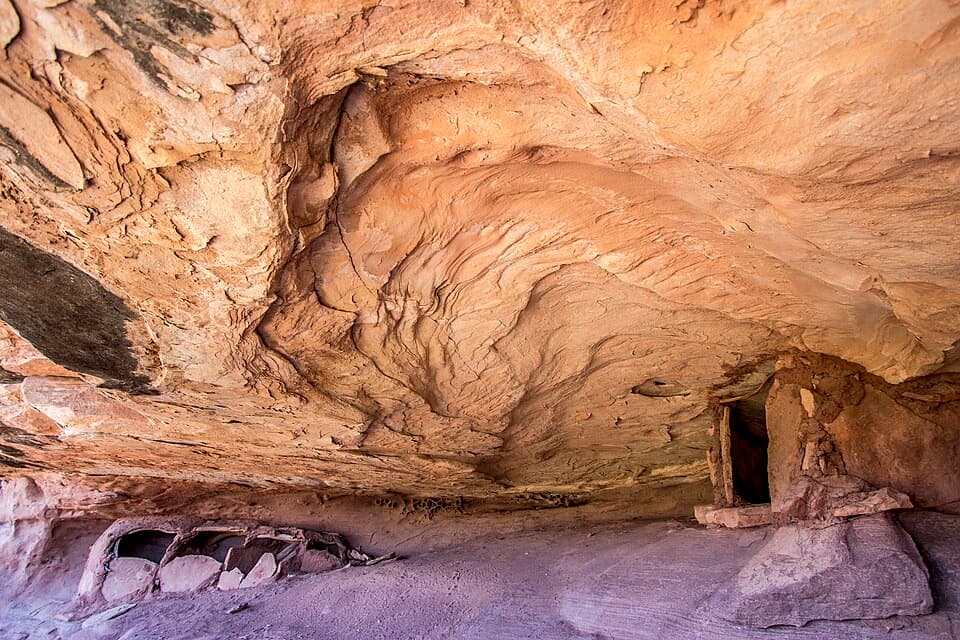
Canyonlands National Park, UT
A tight sandstone squeeze, an alcove granary and Colorado River views.
Overview
Map & elevation
Plan your hike

The highest, rockiest slopes around here are a summer buffet for grizzly bears.
Canyonlands Tour Guide
Parkwolf is a GPS audio tour guide for Canyonlands National Park. As you drive, it chimes in with what’s ahead: hidden gems, upcoming stops, history, geology, and wildlife, right through your car’s speakers.
See the Canyonlands audio tour“Fantastic app with many points of information… It’s great to just turn on while you’re driving and it gives you an audio tour of the national Park. We love it!!!!”


Trail guide
Granary Trail is about a 1.9-mile lollipop loop in the Doll House area of The Maze. From Spanish Bottom Trailhead, follow Spanish Bottom Trail east to Granary Trail, cross a small graben, climb toward the canyon rim and granary alcove, then retrace the granary spur and return on a connector to Spanish Bottom Trail. Plan on about two hours on foot. The distance includes the short access and return within the Doll House; it does not include the separate river approach sometimes added to longer trips to the granary.
The trail follows the base of the Doll House sandstone before climbing through a narrow opening. The crack is about 150 feet long and narrows to roughly 18 inches in places. It climbs about 25 feet through the opening, then drops about 30 feet to the flat floor of a small graben. Expect steep sandstone steps and some scrambling rather than a smooth path.
After crossing the graben northward, the trail climbs its eastern side and doubles back toward the rim. Near the end, a short spur reaches a sheltered alcove with prehistoric granaries. Look from outside; do not enter or disturb the structures. The rim opens over Cataract Canyon to the Colorado River and down into Surprise Valley, a larger graben below the trail. The small sunken valley on this hike reflects movement in the Paradox salt layer beneath the plateau.
The trailhead is reached by high-clearance four-wheel-drive roads through The Maze. The approach is remote, and the short hiking distance can disguise the effort of getting there. NPS warns that Maze trails are steep, unmarked and minimally maintained, with difficult route finding; carry a topographic map and do not rely on GPS alone. In the Doll House area, stay on designated trails.
Bring all your drinking water. Flash floods can occur without warning. Pets are prohibited on hiking trails and four-wheel-drive roads. Overnight trips require a backcountry permit; do not enter, touch or damage archaeological structures.
Wildlife
 48 sightingsBighorn SheepMost seen around 7 AMSighting map
 47 sightingsMule DeerMost seen around 7 AMSighting map
 12 sightingsCoyoteMost seen around 7 PMSighting map
 30 sightingsWestern RattlesnakeMost seen around 7 PMSighting map
 18 sightingsTurkey VultureMost seen around 11 AMSighting map
 18 sightingsWild TurkeyMost seen around 7 AMSighting map
Sighting maps show where each species has been reported across Canyonlands. Wildlife moves, so no sighting is guaranteed.
Keep exploring
 ModerateColorado and Green River Overlook Trail8.9 mi · 5 hr · 0.1 mi awayBeehive Arch and two river views reward a long Maze approach.
 ChallengingFins Trail through Ernie’s Country8.1 mi · 8 hr · 0.5 mi awayA remote cairned crossing through fins, sandy flats and narrow canyons.
 ChallengingSpanish Bottom Trail2.1 mi · 2.4 hr · 0.8 mi awaySteep river climb to the Doll House, with fossils in the rock.
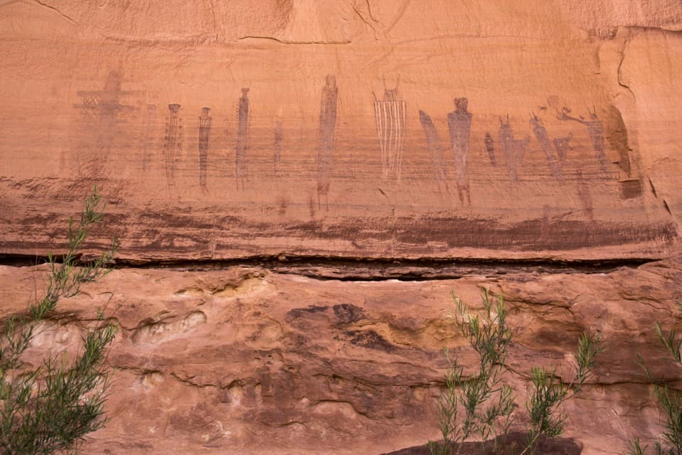 ChallengingHarvest Scene Route8.7 mi · 7 hr · 2.5 mi awayA rugged loop reaches the Maze’s famous Harvest Scene pictographs.
 ChallengingShot Canyon Route10.1 mi · 8 hr · 2.5 mi awayCairns lead from Chimney Rock into Shot Canyon's broad floor.
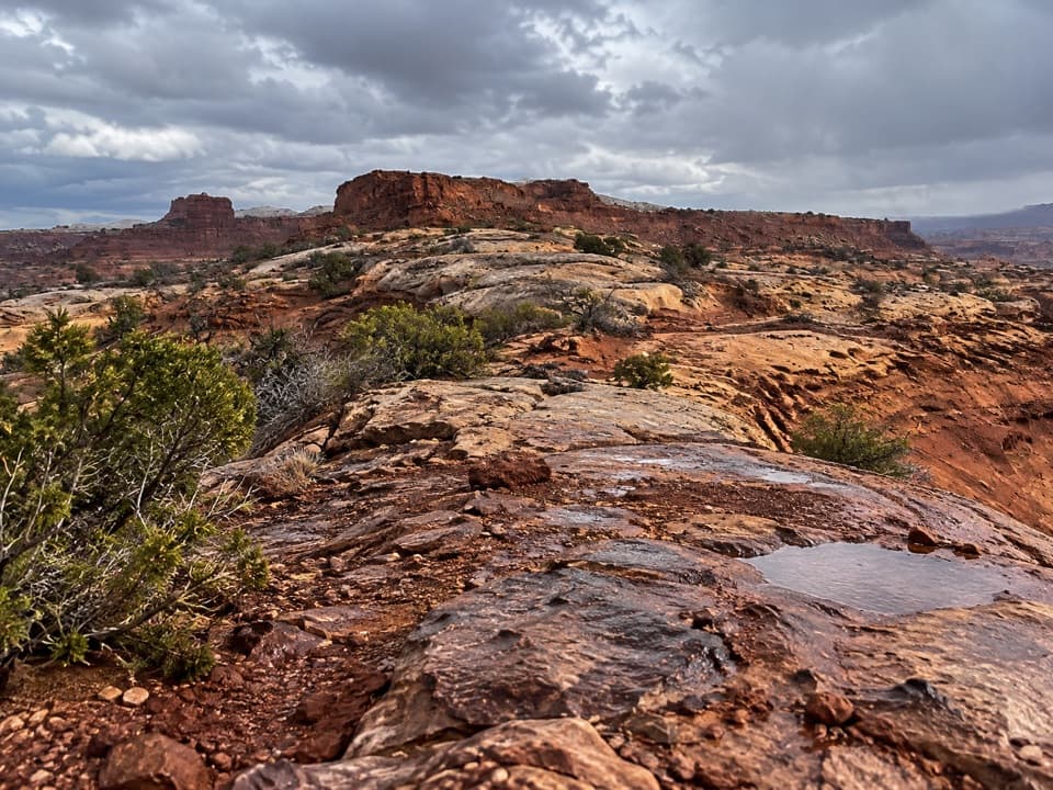 ChallengingPete's Mesa Route8.4 mi · 6 hr · 2.5 mi awaySlickrock miles with the Maze spread out below.
 ChallengingChimney Rock Route2.3 mi · 2.5 hr · 2.5 mi awayA steep old stock route drops into Pictograph Fork.
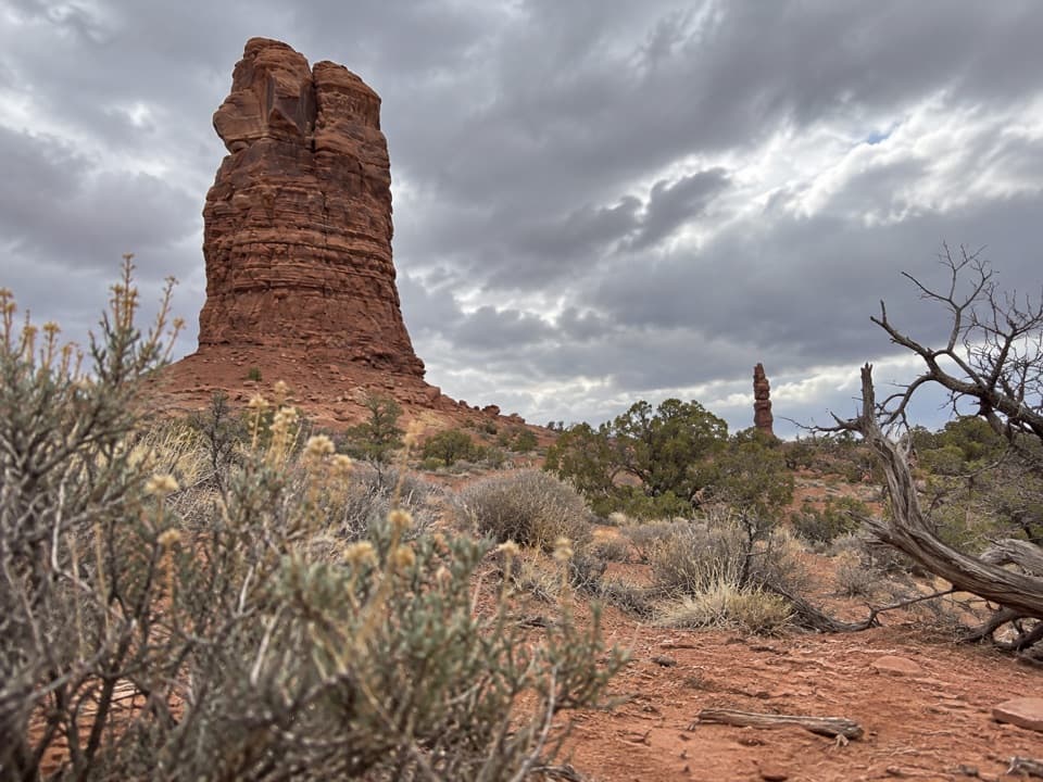 ChallengingThe Plug Route3.9 mi · 2.3 hr · 2.8 mi awayA hard one-way 3.9-mile connector from The Plug to Pictograph Fork.
 Sight · 0.1 mi awayThe Doll HouseA sandstone spire city at the end of a six-hour 4WD route.
 Sight · 2.5 mi awayChimney RockA sandstone tower worth stopping for once you're deep in the Maze.
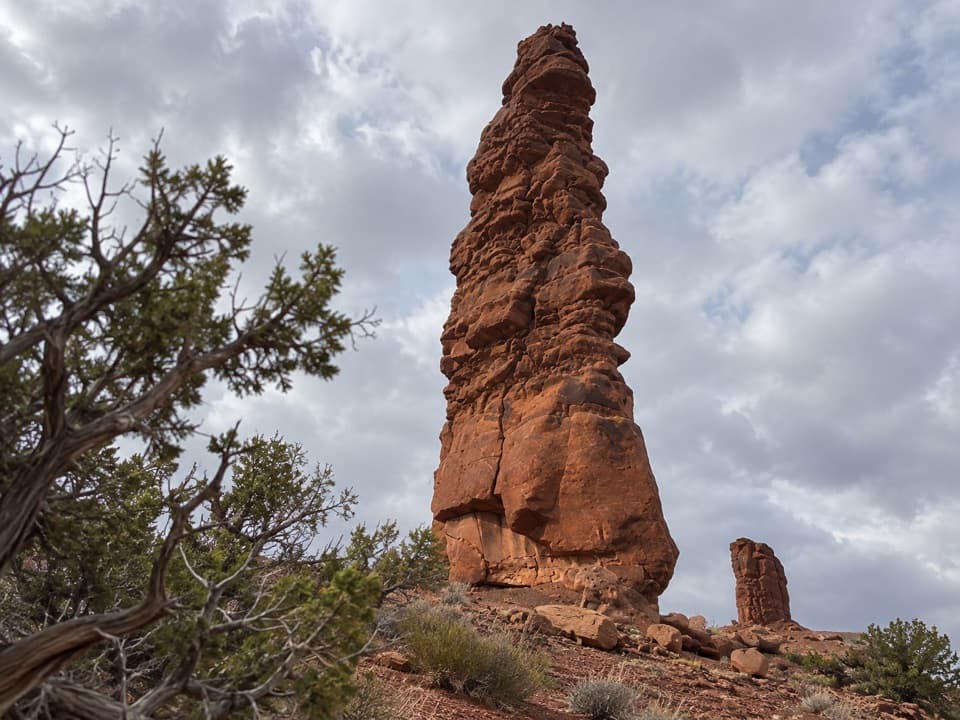 Sight · 2.7 mi awayStanding RockA roadside spire reached by a five-hour, low-range 4WD drive.
 Sight · 4 mi awayConfluence OverlookAn 11-mile hike to where the Green and Colorado meet.
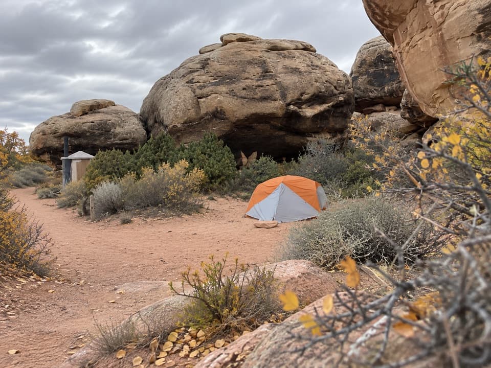 Campground · 4.9 mi awayDevils Kitchen CampgroundA four-site backcountry camp reached by the technical Elephant Hill road.
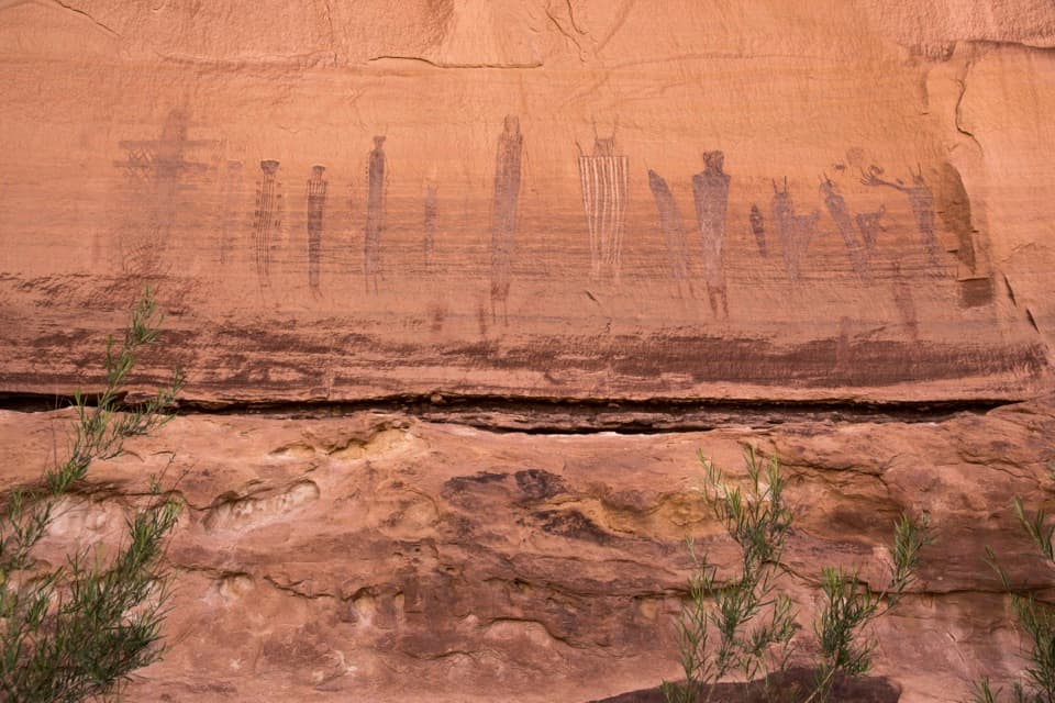 Sight · 4.9 mi awayThe Harvest SceneA striking pictograph panel on a hard Maze backcountry loop.
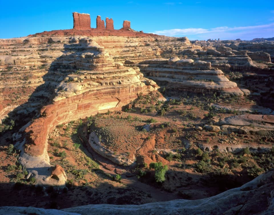 Sight · 5.1 mi awayChocolate DropsFour nearly 200-foot shale towers, deep in the Maze.
 Campground · 5.7 mi awayBobby Jo Camping AreaA two-site desert camp reached by a technical low-range 4WD road.
Parkwolf’s Canyonlands ranking

The audio tour guide for the drive, plus offline maps, trails, and wildlife heatmaps for when the signal drops.




