Parking
Start at the Chocolate Drops Trailhead on the roadside near The Wall. The access is about 36 miles and five hours from Hans Flat over Maze backcountry roads.

Canyonlands National Park, UT
Cairned slickrock to four sandstone sentinels deep in The Maze.
Overview
Map & elevation
Plan your hike

The highest, rockiest slopes around here are a summer buffet for grizzly bears.
Canyonlands Tour Guide
Parkwolf is a GPS audio tour guide for Canyonlands National Park. As you drive, it chimes in with what’s ahead: hidden gems, upcoming stops, history, geology, and wildlife, right through your car’s speakers.
See the Canyonlands audio tour“Fantastic app with many points of information… It’s great to just turn on while you’re driving and it gives you an audio tour of the national Park. We love it!!!!”


Trail guide
Chocolate Drops Trail is an 8.8-mile out-and-back over slickrock to four red towers in the Land of Standing Rocks. Allow about five hours on foot for roughly 540 feet of elevation loss and gain. This one makes sense as part of a deliberate Maze trip: the walk is rewarding, but the long four-wheel-drive approach makes it a poor quick stop from the park’s paved districts.
The roadside start near The Wall circles the east side of a large monolith, then heads across the plateau past smaller Organ Shale spires. After about half an hour, look for a balanced capstone above one of the mounds. Continue along the generally level ridge; a low spot requires a short scramble to descend about 50 feet, with an easier sloping way down nearby. The first Chocolate Drop is roughly three miles beyond the balanced rock. Follow the ridge north to the last tower, then return the same way.
The four upright, rectangular columns of Organ Shale rise almost 200 feet above the ridge between South Fork Horse Canyon and Pictograph Fork. Most of the once roughly 200-foot-thick shale layer has eroded away, leaving these towers and about half a dozen smaller pillars along the approach. From one point you can look down into Pictograph Fork toward the Harvest Scene panel, about three-quarters of a mile away; it is too far off to make out the figures. Near the last tower, the ridge opens to a view of the route down from Maze Overlook. For a photo, frame all four towers with the pale, layered cliffs beneath them.
The trailhead is on the roadside near The Wall. From Hans Flat, the park estimates about 36 miles and five hours to The Wall over remote backcountry roads. The Maze requires a high-clearance, low-range four-wheel-drive vehicle, and wet or snowy weather can make the roads impassable. Follow the cairns carefully, carry a topographic map and enough water and supplies for a remote walk, and check road conditions before setting out. Local trail guidance favors spring and fall; summer heat and winter cold make this exposed slickrock hike less comfortable. Pets are prohibited on the trail and Maze roads, and overnight backcountry trips require a permit.
Wildlife
 48 sightingsBighorn SheepMost seen around 7 AMSighting map
 47 sightingsMule DeerMost seen around 7 AMSighting map
 12 sightingsCoyoteMost seen around 7 PMSighting map
 30 sightingsWestern RattlesnakeMost seen around 7 PMSighting map
 18 sightingsTurkey VultureMost seen around 11 AMSighting map
 18 sightingsWild TurkeyMost seen around 7 AMSighting map
Sighting maps show where each species has been reported across Canyonlands. Wildlife moves, so no sighting is guaranteed.
Keep exploring
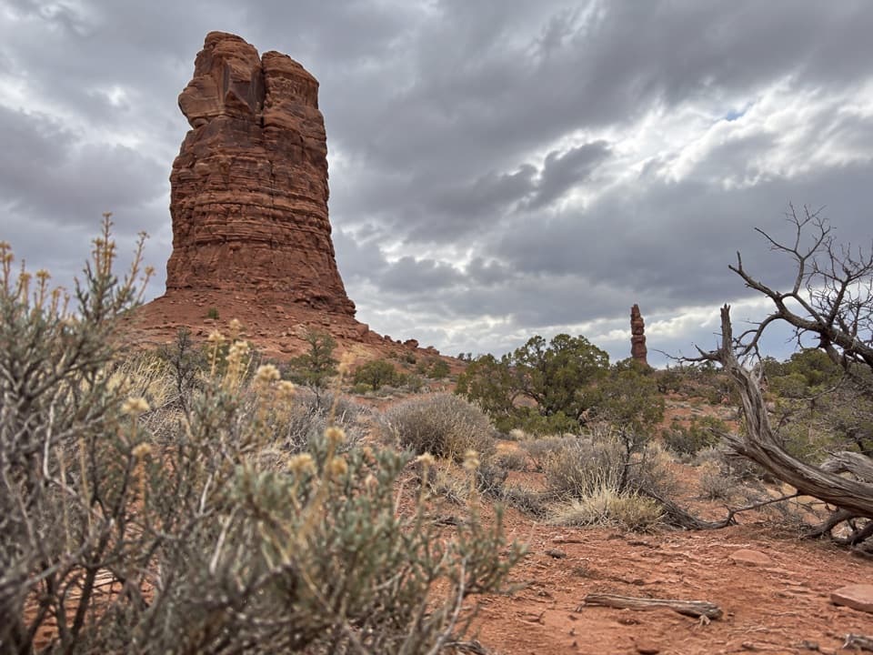 ChallengingThe Plug Route3.9 mi · 2.3 hr · 1 mi awayA hard one-way 3.9-mile connector from The Plug to Pictograph Fork.
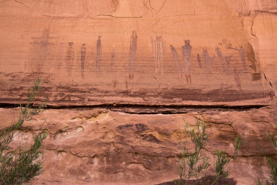 ChallengingHarvest Scene Route8.7 mi · 7 hr · 2.4 mi awayA rugged loop reaches the Maze’s famous Harvest Scene pictographs.
 ChallengingShot Canyon Route10.1 mi · 8 hr · 2.4 mi awayCairns lead from Chimney Rock into Shot Canyon's broad floor.
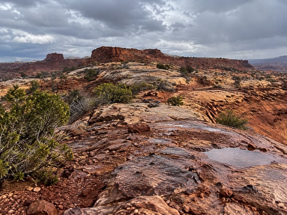 ChallengingPete's Mesa Route8.4 mi · 6 hr · 2.4 mi awaySlickrock miles with the Maze spread out below.
 ChallengingChimney Rock Route2.3 mi · 2.5 hr · 2.4 mi awayA steep old stock route drops into Pictograph Fork.
 ModerateColorado and Green River Overlook Trail8.9 mi · 5 hr · 3.7 mi awayBeehive Arch and two river views reward a long Maze approach.
 ChallengingFins Trail through Ernie’s Country8.1 mi · 8 hr · 3.7 mi awayA remote cairned crossing through fins, sandy flats and narrow canyons.
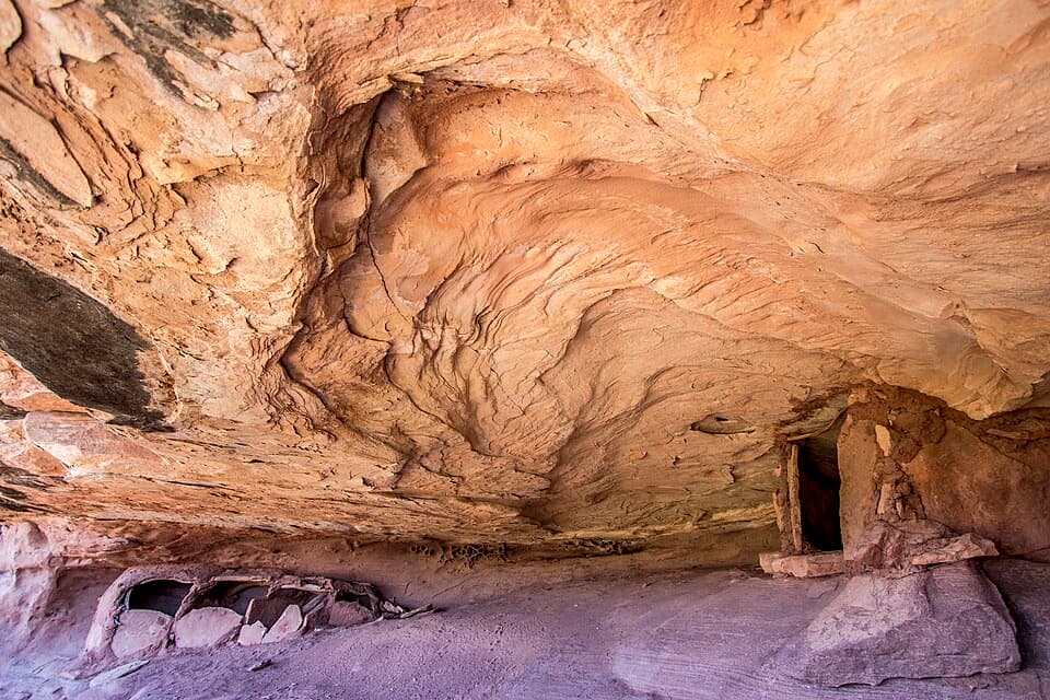 ModerateGranary Trail1.9 mi · 2 hr · 3.7 mi awayA tight sandstone squeeze, an alcove granary and Colorado River views.
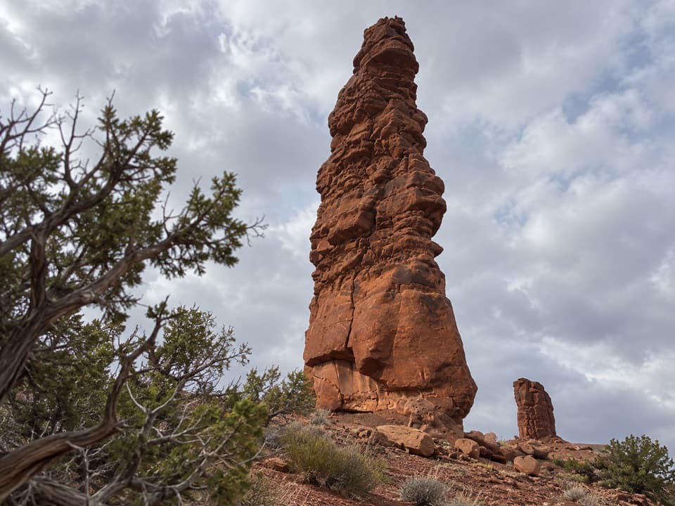 Sight · 1.3 mi awayStanding RockA roadside spire reached by a five-hour, low-range 4WD drive.
 Sight · 2.4 mi awayChimney RockA sandstone tower worth stopping for once you're deep in the Maze.
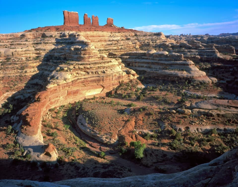 Sight · 3.5 mi awayChocolate DropsFour nearly 200-foot shale towers, deep in the Maze.
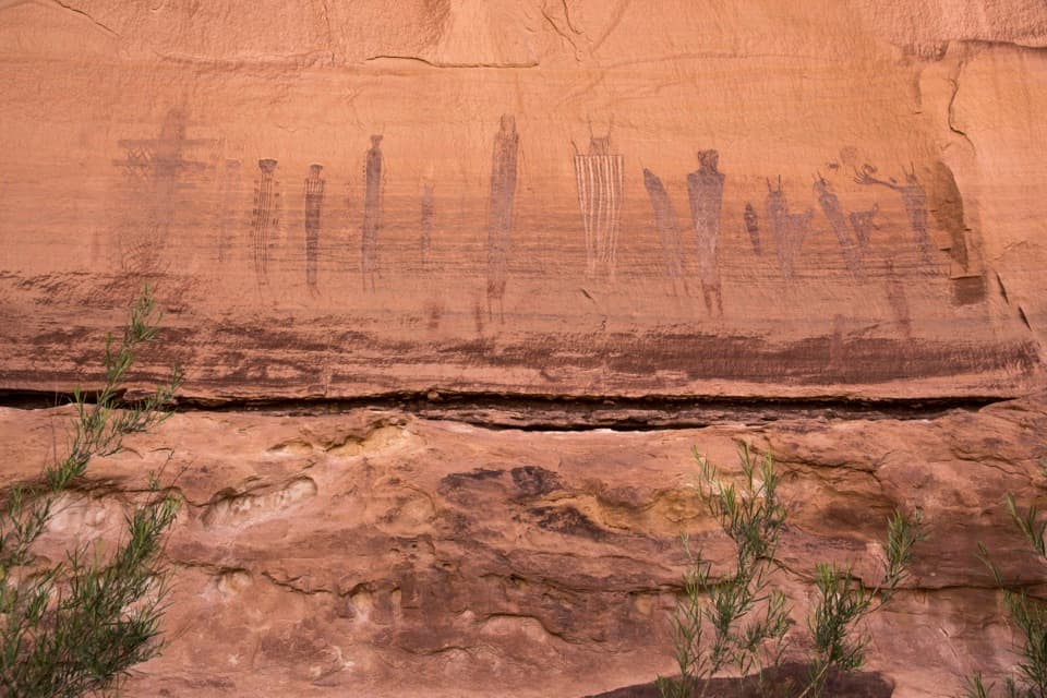 Sight · 3.6 mi awayThe Harvest SceneA striking pictograph panel on a hard Maze backcountry loop.
 Sight · 3.7 mi awayThe Doll HouseA sandstone spire city at the end of a six-hour 4WD route.
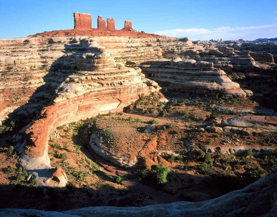 Sight · 4.3 mi awayMaze OverlookA canyon panorama reached only after hours of rough 4WD travel.
 Sight · 6.7 mi awayBagpipe Butte OverlookA quick sandy walk pays off on the long, rough Maze road.
 Sight · 7 mi awayPanorama PointA two-hour 4WD crawl from Hans Flat ends above Horse Canyon.
Parkwolf’s Canyonlands ranking

The audio tour guide for the drive, plus offline maps, trails, and wildlife heatmaps for when the signal drops.




