Parking
Start at Chimney Rock Trailhead in The Maze. Reaching it requires a high-clearance four-wheel-drive vehicle in low range; the roads are extremely remote and difficult.

Canyonlands National Park, UT
Cairns lead from Chimney Rock into Shot Canyon's broad floor.
Overview
Map & elevation
Plan your hike

The highest, rockiest slopes around here are a summer buffet for grizzly bears.
Canyonlands Tour Guide
Parkwolf is a GPS audio tour guide for Canyonlands National Park. As you drive, it chimes in with what’s ahead: hidden gems, upcoming stops, history, geology, and wildlife, right through your car’s speakers.
See the Canyonlands audio tour“Fantastic app with many points of information… It’s great to just turn on while you’re driving and it gives you an audio tour of the national Park. We love it!!!!”


Trail guide
Shot Canyon Route is a 10.1-mile out-and-back from Chimney Rock to the eastern connection with the Colorado and Green River Overlook route, then back along the same primitive path. The 5-mile line crosses slickrock above Shot Canyon, drops about 400 feet into the canyon, and continues northeast over an open grass-and-sage flat toward the wash. Allow about eight hours on foot, plus the remote drive; this is a hard backcountry day, not a quick canyon stop.
Four cairned routes leave the Chimney Rock area, and there are no signs at the start. The Shot line is the second-to-last route on the right. It meanders over slickrock for about 0.6 mile to the canyon rim. Stacked rocks brace a sloping slickrock face at the descent, followed by switchbacks to the floor. The open flat heads northeast, with more of the route entering the sandy wash near the eastern connection. Turn around there and retrace the same corridor.
This is a primitive path marked mainly by cairns. Carry a topographic map, be comfortable finding your way on slickrock, and bring all the water you need; water in The Maze is scarce and unreliable. Getting to Chimney Rock takes a high-clearance four-wheel-drive vehicle in low range on very remote, difficult roads. Pets are not allowed in The Maze.
A longer circuit crosses from Shot Canyon to Water Canyon, follows the sandy drainage toward a spring, and climbs out on exposed ledges with steep slickrock scrambling before returning to Chimney Rock. That is a separate, more technical itinerary. The route shown here stays on the Shot Canyon path to its eastern connection and returns the same way.
Wildlife
 48 sightingsBighorn SheepMost seen around 7 AMSighting map
 47 sightingsMule DeerMost seen around 7 AMSighting map
 12 sightingsCoyoteMost seen around 7 PMSighting map
 30 sightingsWestern RattlesnakeMost seen around 7 PMSighting map
 18 sightingsTurkey VultureMost seen around 11 AMSighting map
 18 sightingsWild TurkeyMost seen around 7 AMSighting map
Sighting maps show where each species has been reported across Canyonlands. Wildlife moves, so no sighting is guaranteed.
Keep exploring
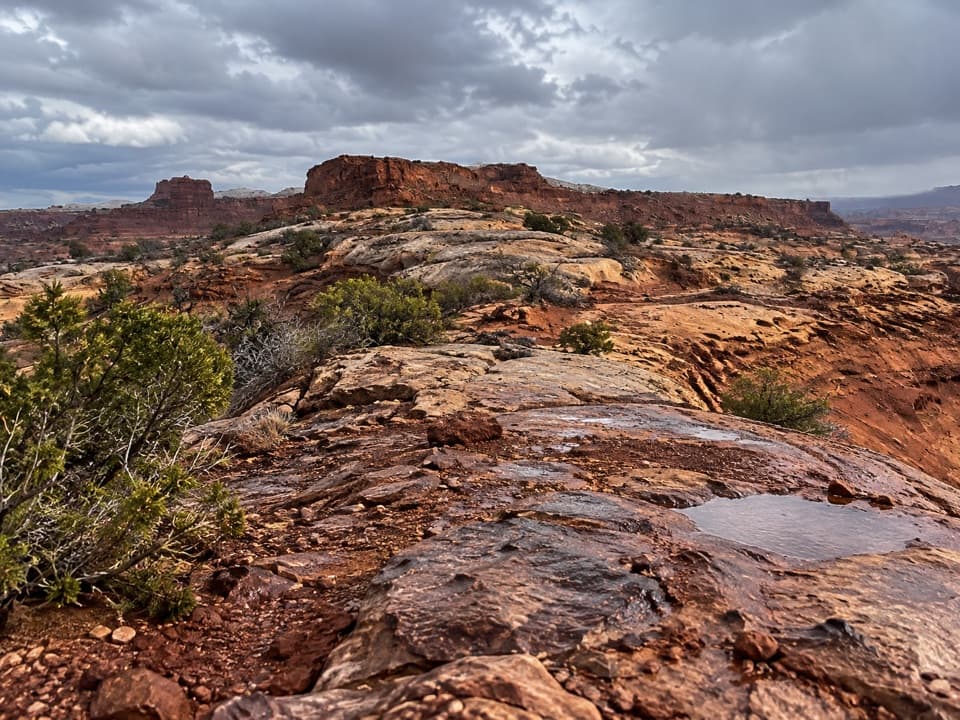 ChallengingPete's Mesa Route8.4 mi · 6 hr · At the trailheadSlickrock miles with the Maze spread out below.
 ChallengingChimney Rock Route2.3 mi · 2.5 hr · At the trailheadA steep old stock route drops into Pictograph Fork.
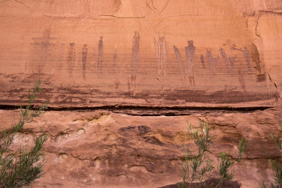 ChallengingHarvest Scene Route8.7 mi · 7 hr · At the trailheadA rugged loop reaches the Maze’s famous Harvest Scene pictographs.
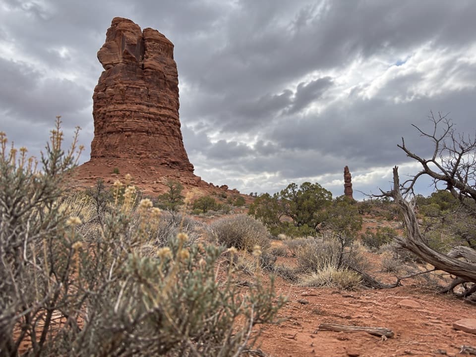 ChallengingThe Plug Route3.9 mi · 2.3 hr · 1.5 mi awayA hard one-way 3.9-mile connector from The Plug to Pictograph Fork.
 ModerateChocolate Drops Trail8.8 mi · 5 hr · 2.4 mi awayCairned slickrock to four sandstone sentinels deep in The Maze.
 ModerateColorado and Green River Overlook Trail8.9 mi · 5 hr · 2.5 mi awayBeehive Arch and two river views reward a long Maze approach.
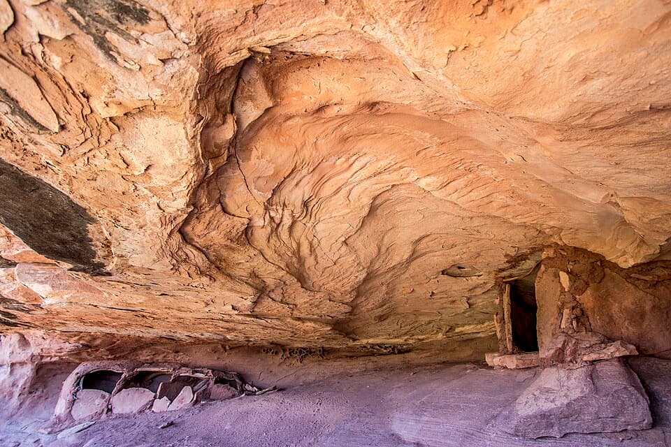 ModerateGranary Trail1.9 mi · 2 hr · 2.5 mi awayA tight sandstone squeeze, an alcove granary and Colorado River views.
 ChallengingFins Trail through Ernie’s Country8.1 mi · 8 hr · 2.8 mi awayA remote cairned crossing through fins, sandy flats and narrow canyons.
 Sight · At the trailheadChimney RockA sandstone tower worth stopping for once you're deep in the Maze.
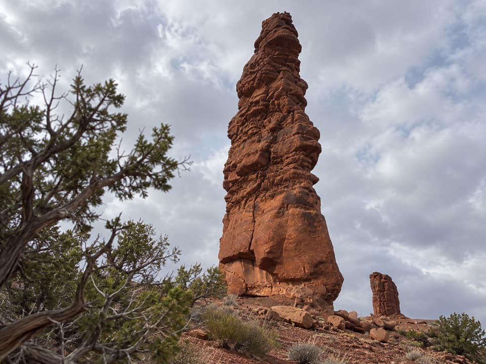 Sight · 1.2 mi awayStanding RockA roadside spire reached by a five-hour, low-range 4WD drive.
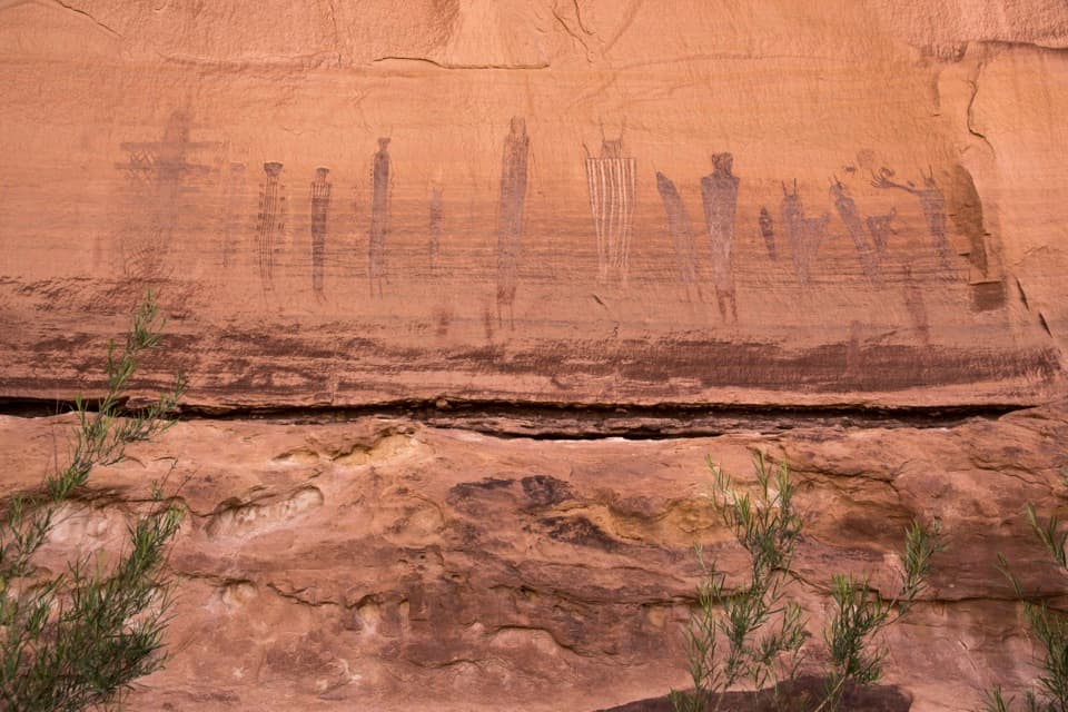 Sight · 2.5 mi awayThe Harvest SceneA striking pictograph panel on a hard Maze backcountry loop.
 Sight · 2.6 mi awayThe Doll HouseA sandstone spire city at the end of a six-hour 4WD route.
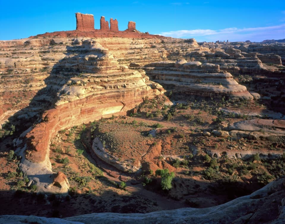 Sight · 2.7 mi awayChocolate DropsFour nearly 200-foot shale towers, deep in the Maze.
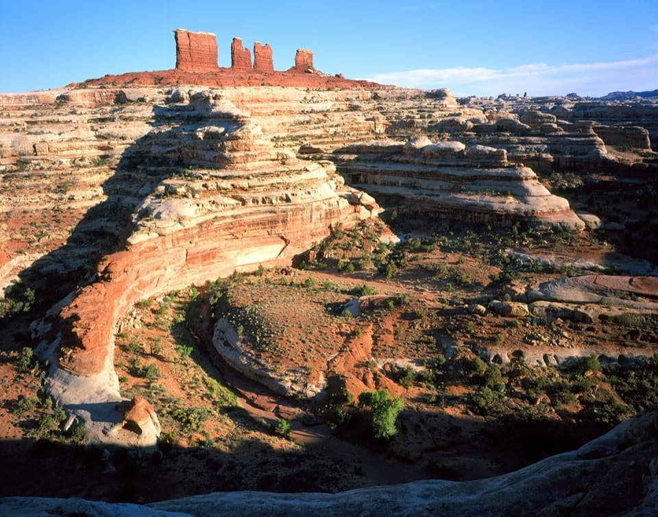 Sight · 3.6 mi awayMaze OverlookA canyon panorama reached only after hours of rough 4WD travel.
 Sight · 5.1 mi awayConfluence OverlookAn 11-mile hike to where the Green and Colorado meet.
 Sight · 6.8 mi awayPanorama PointA two-hour 4WD crawl from Hans Flat ends above Horse Canyon.
Parkwolf’s Canyonlands ranking

The audio tour guide for the drive, plus offline maps, trails, and wildlife heatmaps for when the signal drops.




