Pete's Mesa Route in Canyonlands National Park

Canyonlands National Park, UT

Pete's Mesa Route

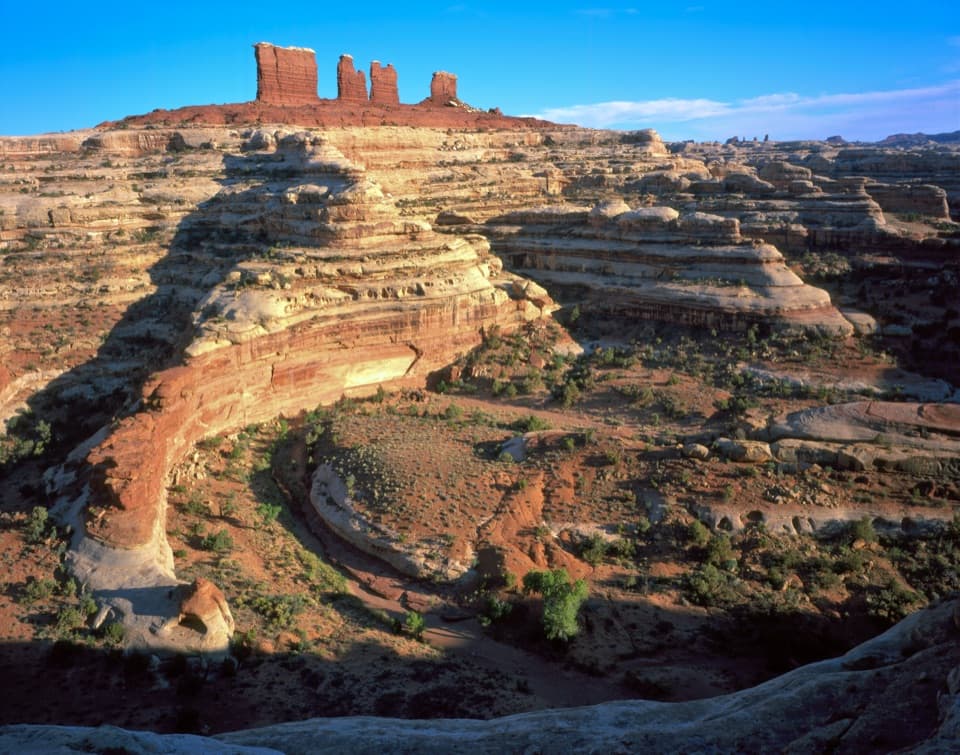
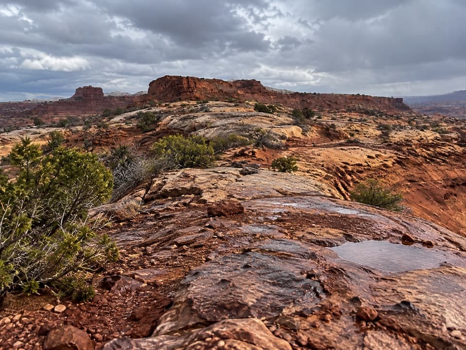
Slickrock miles with the Maze spread out below.

Length
8.4mi
Time
6hr
Elev. change
919ft
Difficulty
Challenging
  • No dogs
  • High point 5,443 ft
Parkwolf audio tour43 stories across Canyonlands’s roads

Overview

About Pete's Mesa Route

Why go

  • Open ridge views across the Maze toward the La Sal Mountains.

Heads up

  • Remote four-wheel-drive access and cairn-based navigation raise the commitment.

Map & elevation

The route

Loading the Canyonlands map
Full map
Elevation4,524–5,443 ft
TrailheadChimney Rock Campground38.18657, -109.97441
Keep this map with you offline in the Parkwolf app

Plan your hike

Before you go

Parking

Use the Chimney Rock campground access at the southern end of the mapped route. The National Park Service map estimates about five hours by road from Hans Flat, and Maze roads into this area require high-clearance 4WD. Parking capacity and on-site services weren't verified.

Safety

This is a remote, cairn-marked slickrock route where tread can be hard to follow. The National Park Service warns that Maze routes may cross steep slickrock and pour-offs requiring basic climbing. Pete's Mesa is restricted to day use, and pets are prohibited on park hiking trails.

2 active Canyonlands alerts

  • ClosureRain-damaged Needles backcountry roads impassableRecent rains have made several Needles backcountry roads impassable; do not drive these routes.Official details
  • CautionMaze access roads require high-clearance 4WDOnly use high-clearance 4WD to reach Hans Flat or Horseshoe Canyon in The Maze; low-clearance vehicles are not recommended on these damaged, rutted, muddy routes.Official details
Canyonlands alerts
A park ranger sits on a dash-mounted phone, talking, as Parkwolf’s Tour Guide plays “Army Cutworm Moths: A Grizzly Bear Buffet” on Grand Loop Road below Dunraven Pass in Yellowstone
Parkwolf Tour GuideThe highest, rockiest slopes around here are a summer buffet for grizzly bears.

Canyonlands Tour Guide

Your drive to Pete's Mesa Route, narrated.

Parkwolf is a GPS audio tour guide for Canyonlands National Park. As you drive, it chimes in with what’s ahead: hidden gems, upcoming stops, history, geology, and wildlife, right through your car’s speakers.

See the Canyonlands audio tour
  • 43 audio storiesacross Canyonlands’s roads, triggered by GPS as you drive
  • Wildlife heatmapsfor Bighorn Sheep, Mule Deer, Coyote, and 13 more
  • Works offlinemaps, 63 trails, 65 places, and audio download before you lose signal
  • CarPlay readysimple controls built for the drive
★★★★★
“Fantastic app with many points of information… It’s great to just turn on while you’re driving and it gives you an audio tour of the national Park. We love it!!!!”
JMJamesApp Store review
Download Parkwolf on the App StoreGet Parkwolf on Google Play

4.7 from 8,600+ ratings

Trail guide

Hiking Pete's Mesa Route

The full walkPete's Mesa Route is an 8.

Pete's Mesa Route is an 8.4-mile out-and-back from the Chimney Rock area to a high ridge above The Maze. The cairned line runs about 4.2 miles one way; walking back makes roughly 1,600 feet of total climbing. Allow about six hours on foot, separate from the long drive into the district. This is a hard day for experienced backcountry hikers, with broad open-country views as the payoff.

Route finding on slickrockExpect mostly slickrock, where the path is easy to lose against the stone.

Expect mostly slickrock, where the path is easy to lose against the stone. Follow cairns and pay close attention at turns; the National Park Service describes Maze routes as minimally maintained, often unmarked, and difficult to navigate. Sources do not define the far end the same way: the mapped named line finishes on the ridge, while one account continues farther to the mesa edge. The 8.4 miles here cover the mapped route only, so check current route information before extending beyond its last cairns.

What you'll seeOnce the ridge opens, you can look toward the La Sal Mountains, Land of Standing Rocks, and…

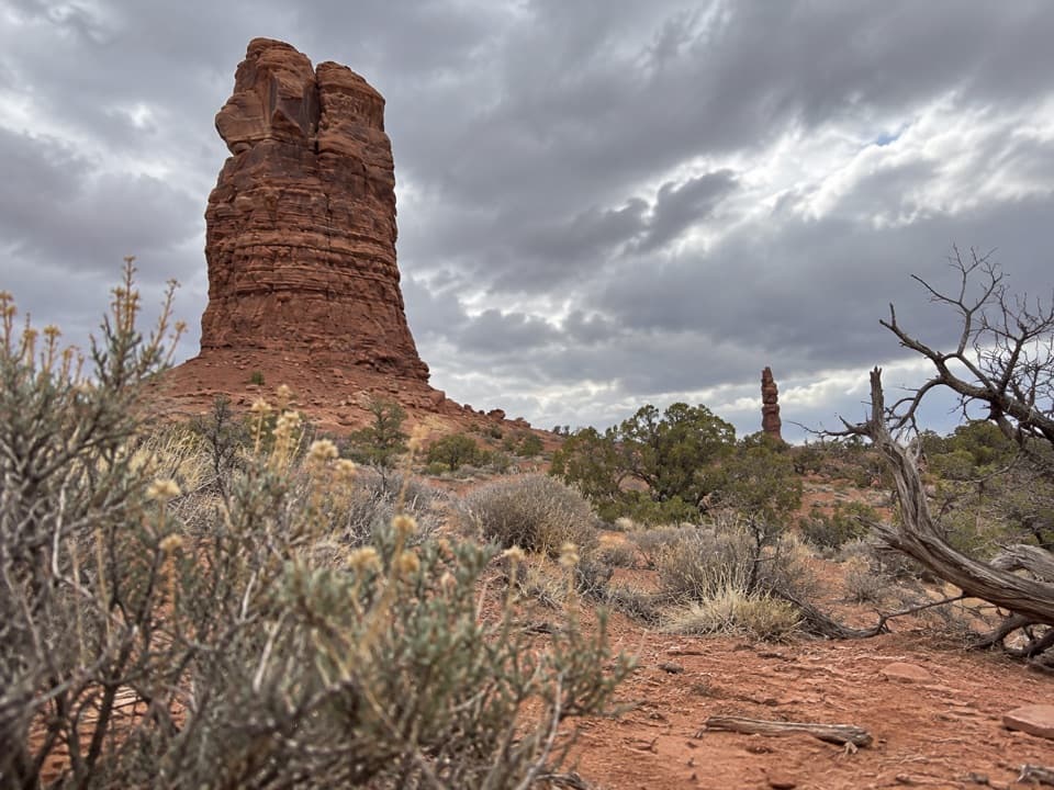
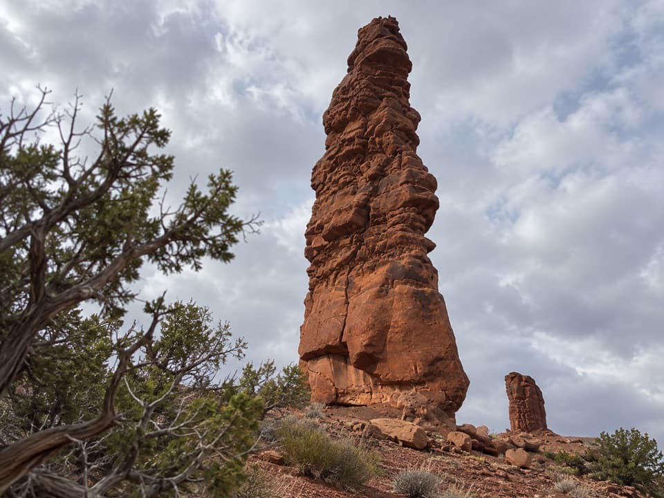
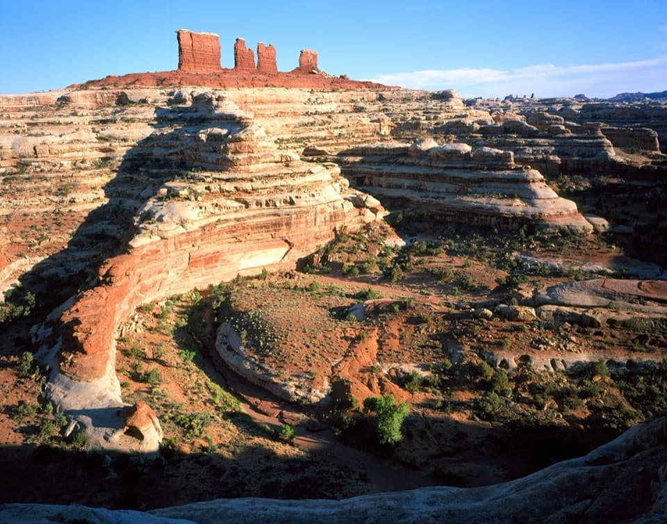
Once the ridge opens, you can look toward the La Sal Mountains, Land of Standing Rocks, and across the Maze. The Chocolate Drops stand out as a landmark: slender columns of Organ Rock Shale capped by White Rim sandstone. For a photo, keep the pale slickrock in the foreground and the layered red cliffs behind it; that gives the view a sense of scale.

Reaching the startStart at the Chimney Rock campground access.

Start at the Chimney Rock campground access. The National Park Service map puts Chimney Rock about five hours by road from Hans Flat, and getting to the trailhead requires a long high-clearance 4WD approach through the Maze. Pete's Mesa is day-use only; no overnight camping there. Pets aren't allowed on park hiking trails. Water and toilet facilities at the access weren't verified, so don't count on them.

Wildlife

Wildlife in Canyonlands

All Canyonlands wildlife maps

Sighting maps show where each species has been reported across Canyonlands. Wildlife moves, so no sighting is guaranteed.

Keep exploring

Near Pete's Mesa Route

See it all on the map

Trails that start nearby

Places near the trailhead

Parkwolf’s Canyonlands ranking

Top-rated trails in Canyonlands

All 63 trails
  1. 1Mesa Arch TrailEasy · 0.6 mi
  2. 2Chesler Park Loop and Joint TrailChallenging · 10.7 mi
  3. 3Druid Arch TrailChallenging · 10.8 mi
  4. 4Grand View Point TrailEasy · 1.8 mi
  5. 5Horseshoe Canyon Trail to the Great GalleryChallenging · 7 mi
  6. 6White Rim Overlook TrailEasy · 1.8 mi

Take Parkwolf to Canyonlands.

The audio tour guide for the drive, plus offline maps, trails, and wildlife heatmaps for when the signal drops.

4.7 from 8,600+ ratings

Download Parkwolf on the App StoreGet Parkwolf on Google Play