Parking
Start at the Murphy Trailhead pullout on Grand View Point Road; the approach is shared with Murphy Point Overlook. The district map marks a toilet at the trailhead.

Canyonlands National Park, UT
Leave the rim, circle the hogback, and earn the climb back.
Overview
Map & elevation
Plan your hike

The highest, rockiest slopes around here are a summer buffet for grizzly bears.
Canyonlands Tour Guide
Parkwolf is a GPS audio tour guide for Canyonlands National Park. As you drive, it chimes in with what’s ahead: hidden gems, upcoming stops, history, geology, and wildlife, right through your car’s speakers.
See the Canyonlands audio tourRecorded for this trailhead
Murphy Point“You're approaching the Murphy Point trailhead, for a walk across the mesa to a broad view of the Green River and White Rim.”
Plays as you drive up to this trailhead in the Parkwolf Canyonlands Tour Guide.
More stories near here in the app
“Fantastic app with many points of information… It’s great to just turn on while you’re driving and it gives you an audio tour of the national Park. We love it!!!!”


Trail guide
Murphy Loop is a 10.8-mile lollipop loop from the Murphy Trailhead in Canyonlands’ Island in the Sky district. The round trip drops from the mesa, circles below the rim by Murphy Hogback, a stretch of unpaved White Rim Road and Murphy Wash, then climbs the shared upper trail back to the start. Plan on five to seven hours and about 1,448 feet of elevation change. It is a strenuous, full-day hike with a wide view from the Hogback as its big reward.
Choose it for a long desert route with changing terrain, not for a quick overlook. The path is rough and the upper descent and climb are steep; the lower loop is exposed for long stretches. If that sounds like too much, the separate Murphy Point Overlook walk from this same trailhead is about 3.4 miles round trip and much easier.
Most hikers go counterclockwise: descend the switchbacks, cross the Hogback, walk the White Rim Road section, then climb back through Murphy Wash. At the early junction, watch for the Murphy Loop signs and cairns; the same approach also leads to Murphy Point Overlook. The trailhead is a pullout shared by both hikes. The district map marks a toilet there, and there is another vault toilet at Murphy Vehicle Campsite on the lower road.
There is no potable water on the trail. Carry plenty for a five-to-seven-hour hike; park guidance calls for at least one liter per person per hour. Bring snacks, sturdy shoes, a map and a headlamp, and start early in hot weather. Dogs are not allowed on hiking trails in the park.
The opening crosses open mesa-top country before the trail tips into a steep, rocky descent. Cairns mark the way down switchbacks and stone steps, through a narrow rocky notch with a wooden bridge, then onto longer, gentler turns below the tall Wingate cliffs. Keep your attention on the tread: the drop is substantial, and the same climb will be waiting at the end.
The lower circuit opens onto the Hogback, a narrow, exposed stretch of slickrock, sand and brush. A short spur reaches a viewpoint; from here the Green River lies far below, with the White Rim and Candlestick Tower spread across the canyon country. This is the signature panorama, and a little foreground trail in a photo helps show how the route crosses the bench.
The route then uses a stretch of rough, unpaved White Rim Road, passing Murphy Vehicle Campsite before turning into Murphy Wash. Vehicles use this road, so stay alert while walking along it. The wash is a different kind of hiking: its channel alternates between broad and narrow, with short climbs across exposed rock layers and several cairned forks. A rock obstruction has a marked bypass. Follow the cairns and your map rather than assuming every branch of the wash is the trail.
Murphy Wash leads back toward the steep switchbacks and the final climb to the mesa. The route is a real circuit below the rim, but the upper stem is shared, so you retrace that section to the trailhead. The route passes through several of the region’s visible rock layers: Wingate sandstone forms the high cliffs, while colorful Chinle, White Rim sandstone and Moenkopi appear along the Hogback and wash. The changing rock is part of what makes this longer loop feel different from a point-to-overlook walk.
Trail accounts describe remnants of two cattle corrals, one on the mesa and another in the wash, and identify this as an old cattle route. The specific operation and dates sometimes attached to that history are not well established, so the corrals are best understood as traces of earlier ranching rather than a precisely dated story.
Wildlife
 48 sightingsBighorn SheepMost seen around 7 AMSighting map
 47 sightingsMule DeerMost seen around 7 AMSighting map
 12 sightingsCoyoteMost seen around 7 PMSighting map
 30 sightingsWestern RattlesnakeMost seen around 7 PMSighting map
 18 sightingsTurkey VultureMost seen around 11 AMSighting map
 18 sightingsWild TurkeyMost seen around 7 AMSighting map
Sighting maps show where each species has been reported across Canyonlands. Wildlife moves, so no sighting is guaranteed.
Keep exploring
 EasyMurphy Point Trail3.4 mi · 2 hr · At the trailheadOpen mesa grassland gives way to a huge Green River overlook.
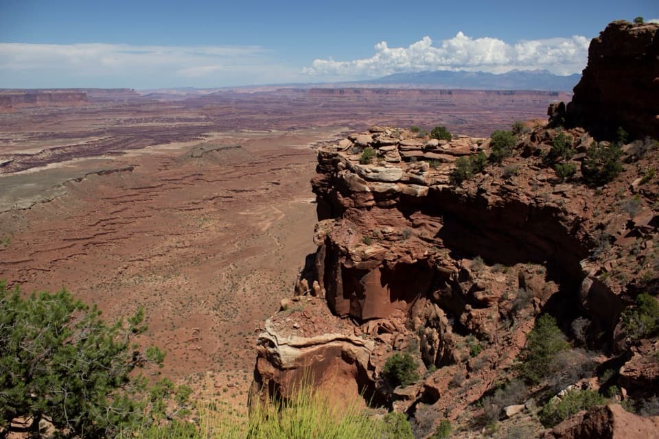 ChallengingGooseberry Canyon Trail4.6 mi · 5 hr · 2.4 mi awayDrop to the White Rim, then climb 1,500 feet back up.
 EasyWhite Rim Overlook Trail1.8 mi · 1.5 hr · 2.4 mi awayAn easy slickrock walk to wide canyon and river views.
 EasyMesa Arch Trail0.6 mi · 36 min · 2.4 mi awayShort loop, cliff-edge arch, canyon views framed by the La Sal Mountains.
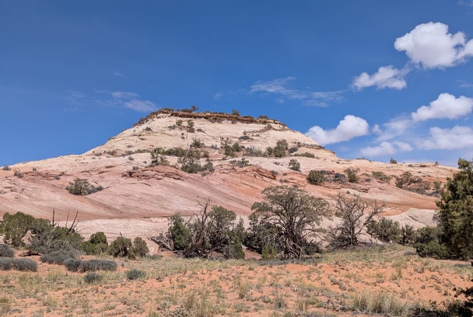 ModerateAztec Butte Trail1.4 mi · 1.8 hr · 2.8 mi awayTwo slickrock scrambles: one for canyon views, one for granaries.
 EasyGrand View Point Trail1.8 mi · 1.5 hr · 3.1 mi awayA short rim walk opens up a much bigger canyon panorama.
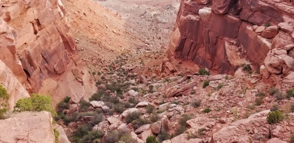 ChallengingWilhite Trail11.4 mi · 7 hr · 3.8 mi awayStrenuous 11.4-mile out-and-back to White Rim Road through Holeman Basin.
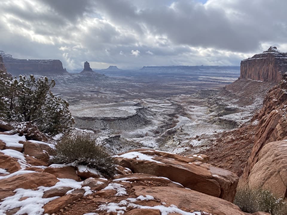 ModerateFalse Kiva Trail1.9 mi · 1.8 hr · 5.3 mi awayA rough, cairned descent to wide views over Holeman Canyon.
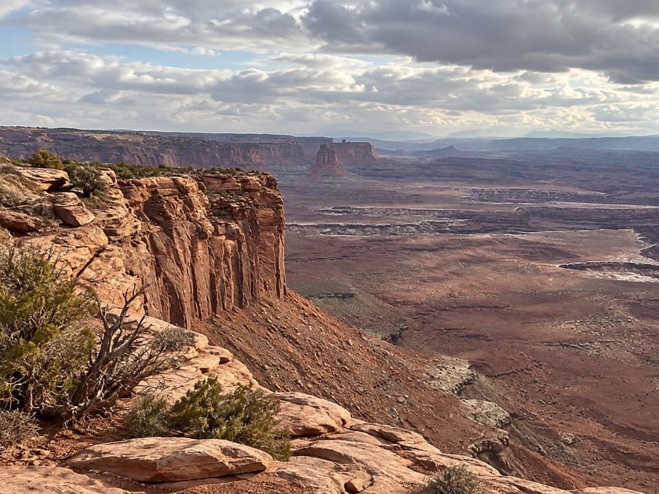 Sight · 0.7 mi awayBuck Canyon OverlookA quick eastward look across the White Rim.
 Scenic pullout · 1.4 mi awayCandlestick Tower OverlookA quick roadside look at Candlestick Tower and the canyon below.
 Sight · 1.6 mi awayMurphy PointA long mesa walk pays off with a wide Green River panorama.
 Sight · 2.1 mi awayGreen River OverlookSee the Green River as a thin line 1,300 feet below.
 Sight · 2.3 mi awayMesa ArchFamous for sunrise glow; the canyon view is worth a later stop.
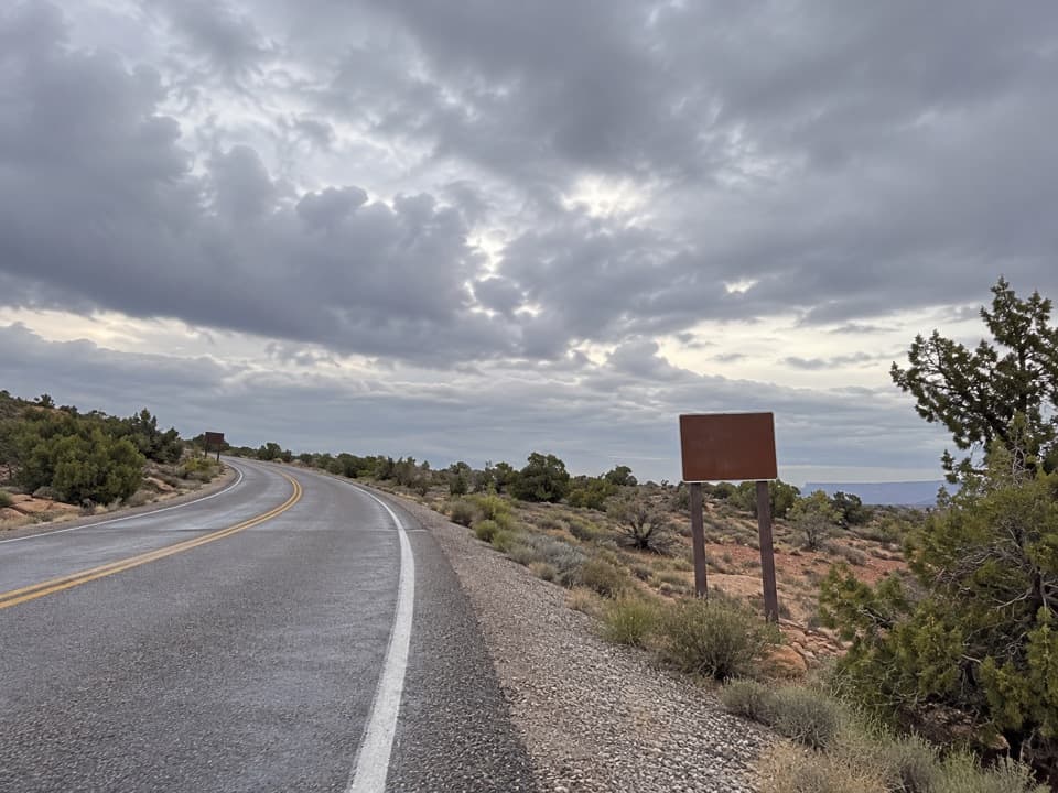 Picnic area · 2.3 mi awayWhite Rim Overlook Picnic AreaPicnic tables and a vault toilet beside the overlook trailhead.
 Campground · 2.4 mi awayWillow Flat CampgroundA quiet, no-frills base near Green River Overlook and dark skies.
 Campground · 2.6 mi awayGooseberry Camping AreaTwo remote sites make a night on the White Rim possible.
Parkwolf’s Canyonlands ranking

The audio tour guide for the drive, plus offline maps, trails, and wildlife heatmaps for when the signal drops.


