Parking
Use the Gooseberry Trailhead at the White Rim Overlook parking area off Grand View Point Road. Parking is limited; the access has a picnic shelter, table and vault toilet.
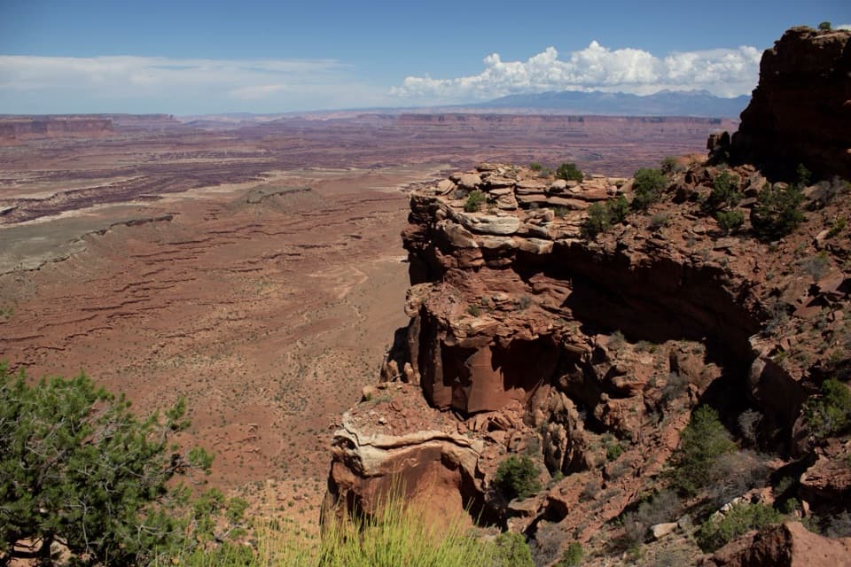
Canyonlands National Park, UT
Drop to the White Rim, then climb 1,500 feet back up.
Overview
Map & elevation
Plan your hike

The highest, rockiest slopes around here are a summer buffet for grizzly bears.
Canyonlands Tour Guide
Parkwolf is a GPS audio tour guide for Canyonlands National Park. As you drive, it chimes in with what’s ahead: hidden gems, upcoming stops, history, geology, and wildlife, right through your car’s speakers.
See the Canyonlands audio tourRecorded for this trailhead
White Rim Overlook“You're nearing the White Rim Overlook trailhead, a good choice for a canyon view if you've got about ninety minutes to walk.”
Plays as you drive up to this trailhead in the Parkwolf Canyonlands Tour Guide.
More stories near here in the app
“Fantastic app with many points of information… It’s great to just turn on while you’re driving and it gives you an audio tour of the national Park. We love it!!!!”


Trail guide
Gooseberry Canyon is a strenuous out-and-back from the mesa rim to the White Rim bench: 4.6 miles round trip and 4–6 hours. It is one of Island in the Sky's steepest hikes, dropping about 1,500 feet before the same climb back. Choose it for a close look at the cliff face and big canyon views; the short map distance hides a serious climb. The rough, uneven rock and stone steps aren't wheelchair-accessible.
The route starts across pock-marked slickrock among juniper and desert brush, then reaches the open cliff face. Steep switchbacks and sandstone steps cross exposed slopes of loose scree, and the tread can blend into the rock. Cairns mark the way, so keep track of them and carry a map. After the descent, a broad sandy wash leads to the White Rim bench. The return retraces the same steep route, so leave time and energy for the climb.
At the bottom, Gooseberry meets White Rim Road on a sandy bench; turn around here. The nearby White Rim Overlook is a separate spur and isn't part of this hike. The white sandstone layer gives the White Rim its name, and the road below once carried uranium ore. It now sees jeeps and mountain bikes. From the bench, look back up the mesa face: the trail can disappear against the sandstone, while the cliffs and distant La Sal Mountains show the scale of the descent.
The trailhead is at the White Rim Overlook parking area off Grand View Point Road; parking is limited. There is no potable water along the hiking trails. For this long route, plan on about 1 liter per person per hour and carry a map and headlamp. Dogs aren't allowed on park hiking trails. Overnight camping on the White Rim requires a backcountry permit.
Wildlife
 48 sightingsBighorn SheepMost seen around 7 AMSighting map
 47 sightingsMule DeerMost seen around 7 AMSighting map
 12 sightingsCoyoteMost seen around 7 PMSighting map
 30 sightingsWestern RattlesnakeMost seen around 7 PMSighting map
 18 sightingsTurkey VultureMost seen around 11 AMSighting map
 18 sightingsWild TurkeyMost seen around 7 AMSighting map
Sighting maps show where each species has been reported across Canyonlands. Wildlife moves, so no sighting is guaranteed.
Keep exploring
 EasyWhite Rim Overlook Trail1.8 mi · 1.5 hr · At the trailheadAn easy slickrock walk to wide canyon and river views.
 EasyGrand View Point Trail1.8 mi · 1.5 hr · 0.9 mi awayA short rim walk opens up a much bigger canyon panorama.
 EasyMurphy Point Trail3.4 mi · 2 hr · 2.4 mi awayOpen mesa grassland gives way to a huge Green River overlook.
 ChallengingMurphy Loop Trail10.8 mi · 6 hr · 2.4 mi awayLeave the rim, circle the hogback, and earn the climb back.
 EasyMesa Arch Trail0.6 mi · 36 min · 4.7 mi awayShort loop, cliff-edge arch, canyon views framed by the La Sal Mountains.
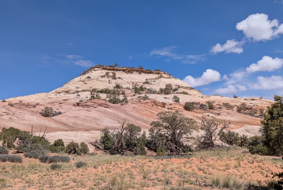 ModerateAztec Butte Trail1.4 mi · 1.8 hr · 5.2 mi awayTwo slickrock scrambles: one for canyon views, one for granaries.
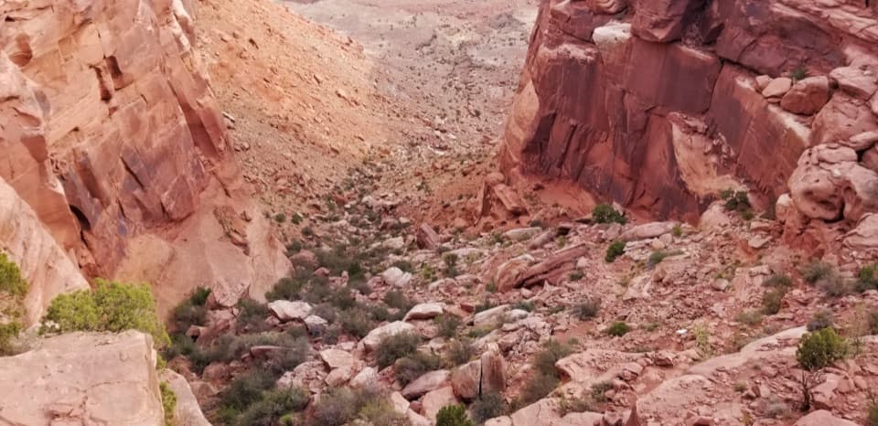 ChallengingWilhite Trail11.4 mi · 7 hr · 6.2 mi awayStrenuous 11.4-mile out-and-back to White Rim Road through Holeman Basin.
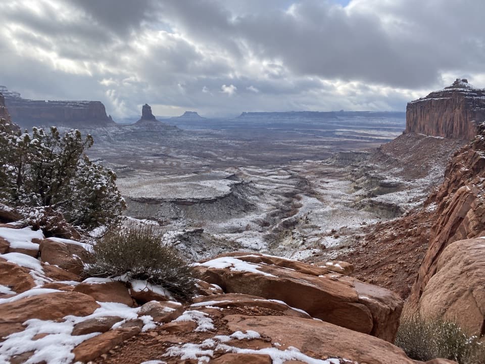 ModerateFalse Kiva Trail1.9 mi · 1.8 hr · 7.6 mi awayA rough, cairned descent to wide views over Holeman Canyon.
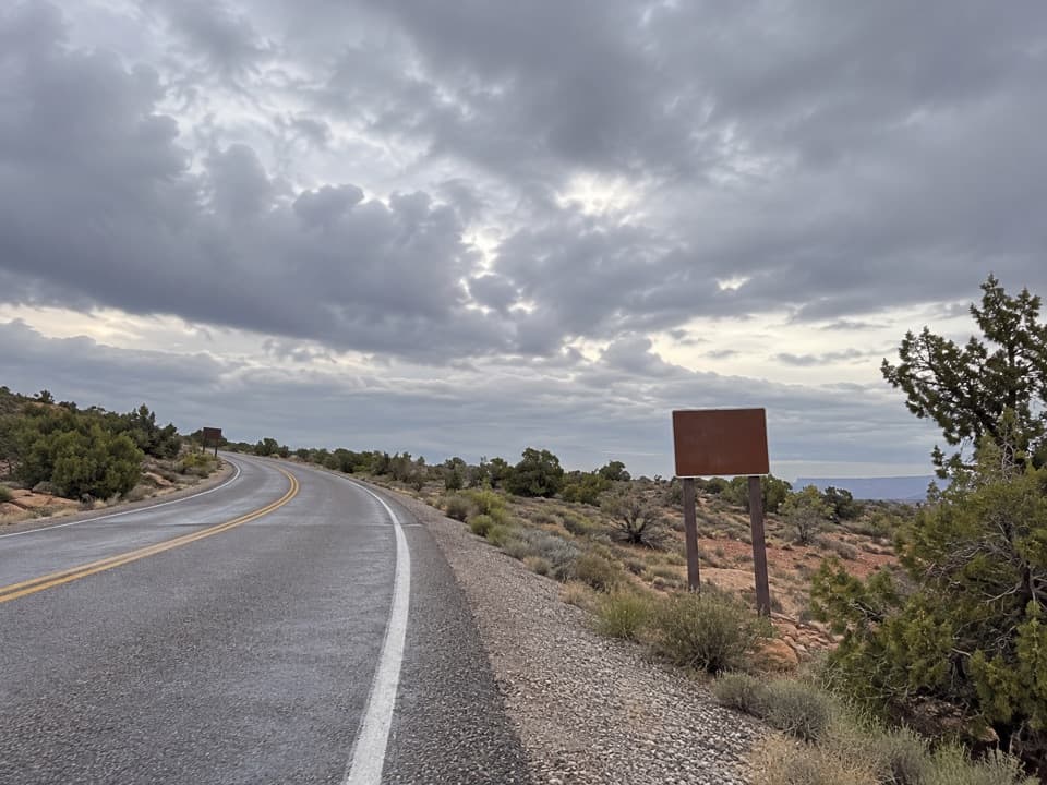 Picnic area · 0.1 mi awayWhite Rim Overlook Picnic AreaPicnic tables and a vault toilet beside the overlook trailhead.
 Sight · 0.8 mi awayOrange Cliffs OverlookA quick pullout for Green River canyon views and sunset color.
 Sight · 0.8 mi awayWhite Rim OverlookA short walk to White Rim country above Monument Basin.
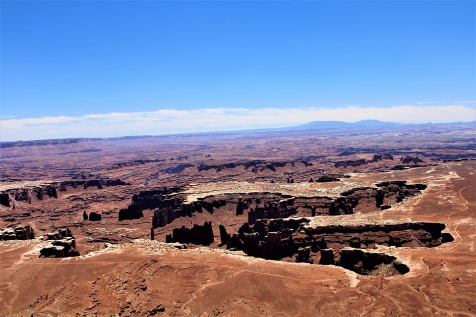 Sight · 1 mi awayGrand View PointA short paved walk opens onto Monument Basin and the White Rim.
 Campground · 1.3 mi awayGooseberry Camping AreaTwo remote sites make a night on the White Rim possible.
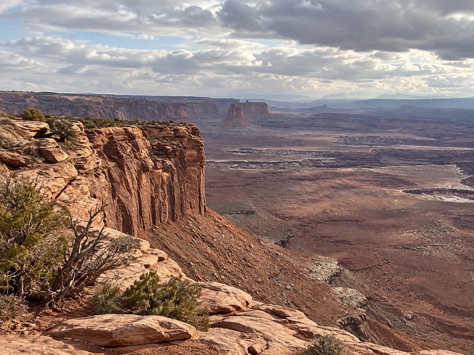 Sight · 1.7 mi awayBuck Canyon OverlookA quick eastward look across the White Rim.
 Sight · 2.5 mi awayMurphy PointA long mesa walk pays off with a wide Green River panorama.
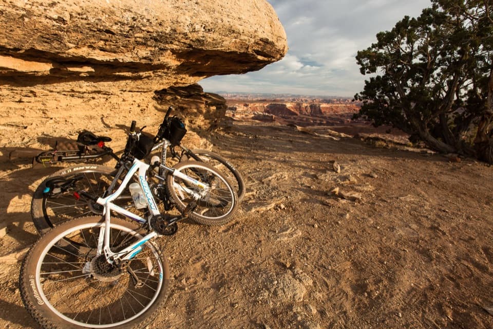 Campground · 3.1 mi awayMurphy Hogback Camping AreaA remote night below the Island in the Sky mesa.
Parkwolf’s Canyonlands ranking

The audio tour guide for the drive, plus offline maps, trails, and wildlife heatmaps for when the signal drops.


