Parking
Park at the Alcove Spring Trailhead pullout on Upheaval Dome Road. Walk about 0.15 mile along the road to the unmarked path entrance across the road; do not park at the informal start.
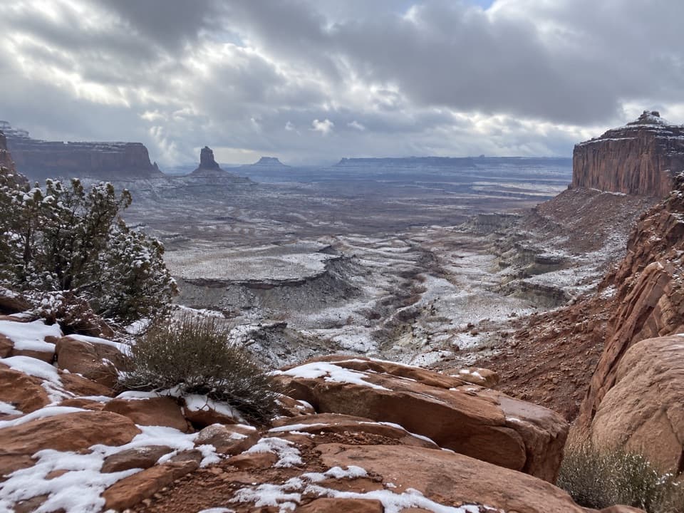
Canyonlands National Park, UT
A rough, cairned descent to wide views over Holeman Canyon.
Overview
Map & elevation
Plan your hike

The highest, rockiest slopes around here are a summer buffet for grizzly bears.
Canyonlands Tour Guide
Parkwolf is a GPS audio tour guide for Canyonlands National Park. As you drive, it chimes in with what’s ahead: hidden gems, upcoming stops, history, geology, and wildlife, right through your car’s speakers.
See the Canyonlands audio tourRecorded for this area
Alcove Spring and Moses and Zeus“You're coming up on Alcove Spring Trailhead, the start of a full-day walk toward the Moses and Zeus towers.”
Plays near this trailhead in the Parkwolf Canyonlands Tour Guide.
More stories near here in the app
“Fantastic app with many points of information… It’s great to just turn on while you’re driving and it gives you an audio tour of the national Park. We love it!!!!”


Trail guide
False Kiva Trail is an unmaintained out-and-back of about 1.9 miles round trip from the Alcove Spring pullout, including the short road-side approach to its unmarked start. The route descends through desert brush and a sandy wash toward the False Kiva area above Holeman Canyon. It is short on mileage but serious underfoot: expect steep, loose scrambling and turns that are hard to read. Current official access to the approach is unclear; check with the park before setting out and follow every closure sign.
From the pullout, walk along Upheaval Dome Road to the sandy path across the road; do not park at the informal start. Cairns guide you through brush and down to a wash. Watch for the point where the route climbs out on the left. Near Holeman Canyon it turns right through a rockslide between steep canyon walls. The turn is easy to miss, and the loose rock is especially awkward on the descent. A map or GPS track helps, but keep checking the ground and cairns rather than trusting a phone line alone.
The last stretch climbs back toward the alcove area. Reports describe a rope boundary at the site, and the alcove itself is reported closed to entry. The current official boundary for the approach could not be confirmed, so stop at any posted closure or barrier and do not enter, touch or climb on the archaeological structure. From outside the restricted area, the route is known for views into Holeman Canyon and the Upper West Basin; Candlestick Tower stands out across the basin. The site's origin is unknown, and claims about who built it remain speculation.
Allow roughly 1½ to 2 hours, with extra time for careful route-finding. The return reverses the same steep, rocky line; the rockslide is reported harder to descend than climb. Water is scarce in this backcountry and there are no facilities reported at the access, so bring what you need and avoid peak summer heat. Canyonlands does not allow pets on hiking trails. For a photo of the broad basin, include Candlestick Tower between the canyon walls rather than framing only the foreground rocks.
Wildlife
 48 sightingsBighorn SheepMost seen around 7 AMSighting map
 47 sightingsMule DeerMost seen around 7 AMSighting map
 12 sightingsCoyoteMost seen around 7 PMSighting map
 30 sightingsWestern RattlesnakeMost seen around 7 PMSighting map
 18 sightingsTurkey VultureMost seen around 11 AMSighting map
 18 sightingsWild TurkeyMost seen around 7 AMSighting map
Sighting maps show where each species has been reported across Canyonlands. Wildlife moves, so no sighting is guaranteed.
Keep exploring
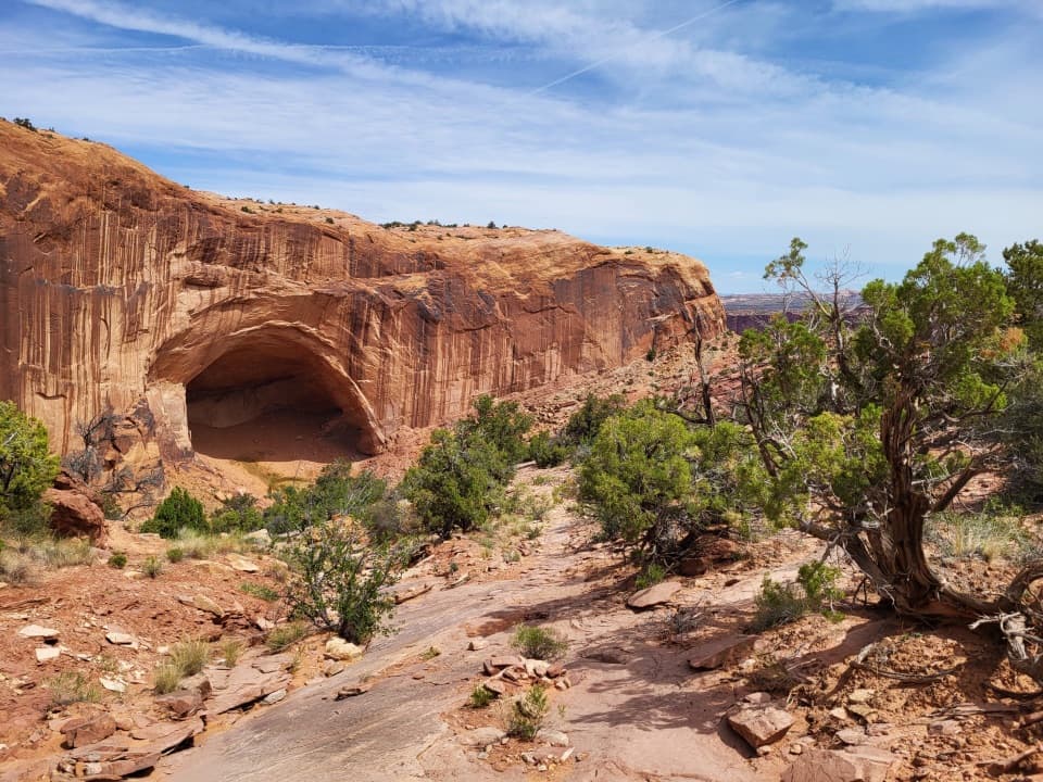 ChallengingAlcove Spring Trail11.2 mi · 6.5 hr · At the trailheadFull-day canyon descent to Alcove Spring and Moses and Zeus towers.
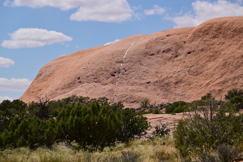 ModerateWhale Rock Trail0.8 mi · 1 hr · 0.4 mi awayA short slickrock scramble to broad Island in the Sky views.
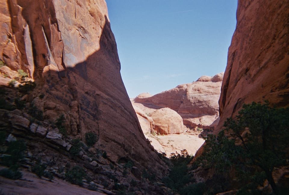 ChallengingSyncline Loop Trail8.1 mi · 6 hr · 1 mi awayA demanding loop of steep descents, sand and boulder scrambles.
 ChallengingUpheaval Crater Trail9.2 mi · 7.5 hr · 1 mi awayA strenuous 9.2-mile out-and-back into Upheaval Dome's crater floor.
 ModerateUpheaval Dome Overlooks Trail1.2 mi · 1.5 hr · 1 mi awayA short, steep climb to colorful folded rock and canyon views.
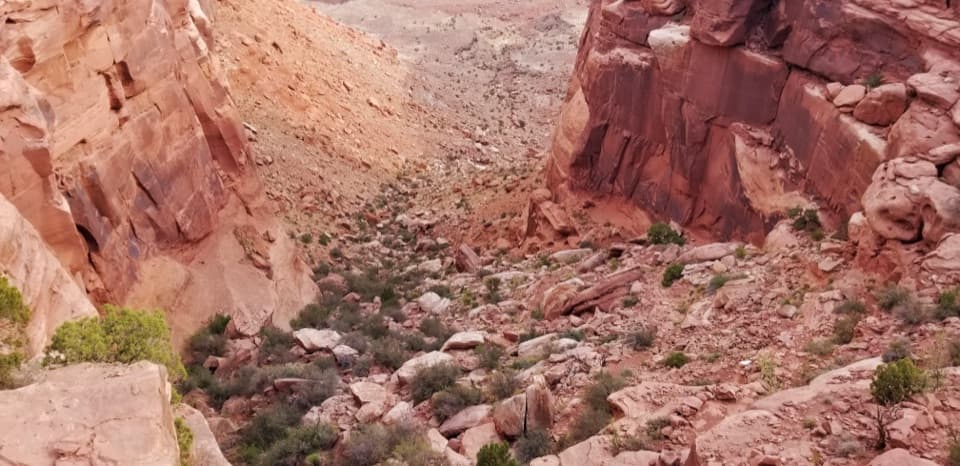 ChallengingWilhite Trail11.4 mi · 7 hr · 1.5 mi awayStrenuous 11.4-mile out-and-back to White Rim Road through Holeman Basin.
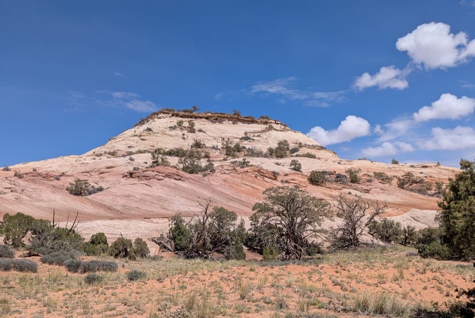 ModerateAztec Butte Trail1.4 mi · 1.8 hr · 2.5 mi awayTwo slickrock scrambles: one for canyon views, one for granaries.
 EasyMesa Arch Trail0.6 mi · 36 min · 3.2 mi awayShort loop, cliff-edge arch, canyon views framed by the La Sal Mountains.Sight · 0.6 mi awayWhale RockWhale-shaped slickrock, a short scramble, and a wide-open top.
 Sight · 1.2 mi awayUpheaval DomeA three-mile-wide geologic mystery, seen from two steep overlooks.
 Sight · 2.5 mi awayAztec Butte GranariesTwo 900-year-old granaries tucked beneath a protective rock overhang.
 Campground · 3 mi awayWillow Flat CampgroundA quiet, no-frills base near Green River Overlook and dark skies.
 Sight · 3.3 mi awayGreen River OverlookSee the Green River as a thin line 1,300 feet below.
 Sight · 3.4 mi awayMesa ArchFamous for sunrise glow; the canyon view is worth a later stop.
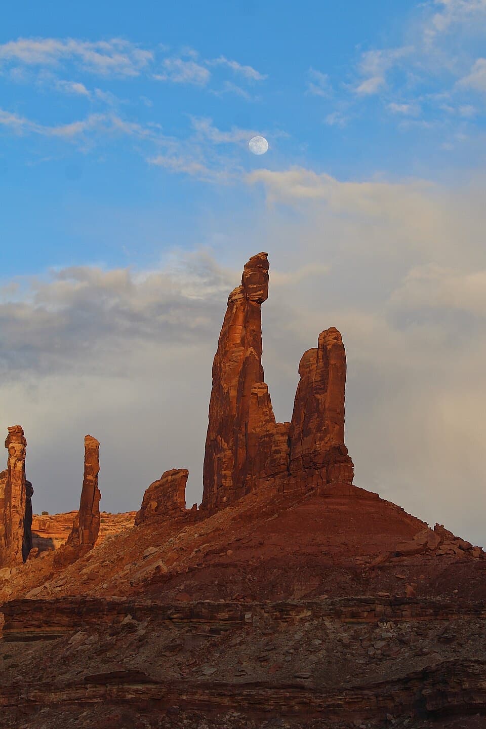 Sight · 3.7 mi awayMoses and Zeus TowersTwo desert towers make a memorable detour for backcountry explorers.
 Scenic pullout · 4 mi awayCandlestick Tower OverlookA quick roadside look at Candlestick Tower and the canyon below.
Parkwolf’s Canyonlands ranking

The audio tour guide for the drive, plus offline maps, trails, and wildlife heatmaps for when the signal drops.



