Parking
Use the Murphy Point Trailhead parking area on Grand View Point Road in the Island in the Sky district. The park entrance fee applies, and the NPS lists auto parking at the trailhead.

Canyonlands National Park, UT
Open mesa grassland gives way to a huge Green River overlook.
Overview
Murphy Point is a 3.4-mile out-and-back from the trailhead on Grand View Point Road to a rim above the Green River. It is a mostly level mesa walk, about two hours for a typical visit, with the long canyon view as the reward. Choose it for open country, a bit of ranching history, and a broad panorama; skip it if you want shade or a short, smooth stroll. The tread gets rougher than the mileage and elevation change suggest, so plan for uneven ground and a rocky rise.
 Parkwolf’s verdictIs this the overlook walk for you?
Map & elevation
Plan your hike

The highest, rockiest slopes around here are a summer buffet for grizzly bears.
Canyonlands Tour Guide
Parkwolf is a GPS audio tour guide for Canyonlands National Park. As you drive, it chimes in with what’s ahead: hidden gems, upcoming stops, history, geology, and wildlife, right through your car’s speakers.
See the Canyonlands audio tourRecorded for this trailhead
Murphy Point“You're approaching the Murphy Point trailhead, for a walk across the mesa to a broad view of the Green River and White Rim.”
Plays as you drive up to this trailhead in the Parkwolf Canyonlands Tour Guide.
More stories near here in the app
“Fantastic app with many points of information… It’s great to just turn on while you’re driving and it gives you an audio tour of the national Park. We love it!!!!”


Trail guide
The trail begins across open grassland dotted with low shrubs and short trees. The narrow path is mostly packed dirt at first, then becomes less distinct where it crosses rock and sand. Cairns mark the route; follow them and leave them where they are. A branch toward Murphy Hogback leaves the mesa-top hike partway out. That is a different route below the rim, so stay on the Murphy Point line if you are going to the overlook and back.
The historic corral is the main landmark on the mesa before the trail reaches the canyon edge. It gives the walk a human story: this country was used for ranching before it became a national park. The route is mostly level, but NPS describes rough, uneven ground, a rocky hill and stone steps. Near the end the path shifts from packed dirt to rock and sand, and cairns matter more as the tread fades against the slickrock. There is little shade along the way.
At Murphy Point, the view opens over the White Rim and the Green River canyon country, with Candlestick Tower in the panorama. The district map also names the Henry Mountains and potholes in the view. Look for the pale White Rim band along the inner gorge: its cross-bedded sandstone formed from ancient wind-blown beach sands and now resists erosion above softer shale. The Green and Colorado rivers have cut through the layers, leaving the stepped canyon walls and broad basins you see from the rim. For a photo, include the river below and the White Rim Road in the same frame; they give the scale that the open view can lose on a phone.
Park at Murphy Point Trailhead on Grand View Point Road; the park lists auto parking at the trailhead, and the park entrance fee applies. There is no drinking water on the trail. The Island in the Sky visitor center has water during spring through fall, so fill up there before driving to the start. Stay back from the exposed rim, especially when the rock is wet or icy. Snow and ice can reach the trail in winter, when traction devices are recommended. Dogs are not allowed on hiking trails, even if carried; service animals are allowed.
Wildlife
 48 sightingsBighorn SheepMost seen around 7 AMSighting map
 47 sightingsMule DeerMost seen around 7 AMSighting map
 12 sightingsCoyoteMost seen around 7 PMSighting map
 30 sightingsWestern RattlesnakeMost seen around 7 PMSighting map
 18 sightingsTurkey VultureMost seen around 11 AMSighting map
 18 sightingsWild TurkeyMost seen around 7 AMSighting map
Sighting maps show where each species has been reported across Canyonlands. Wildlife moves, so no sighting is guaranteed.
Keep exploring
 ChallengingMurphy Loop Trail10.8 mi · 6 hr · At the trailheadLeave the rim, circle the hogback, and earn the climb back.
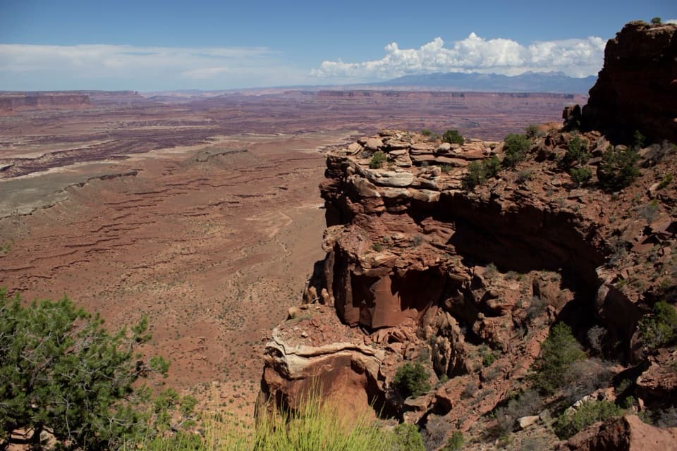 ChallengingGooseberry Canyon Trail4.6 mi · 5 hr · 2.4 mi awayDrop to the White Rim, then climb 1,500 feet back up.
 EasyWhite Rim Overlook Trail1.8 mi · 1.5 hr · 2.4 mi awayAn easy slickrock walk to wide canyon and river views.
 EasyMesa Arch Trail0.6 mi · 36 min · 2.4 mi awayShort loop, cliff-edge arch, canyon views framed by the La Sal Mountains.
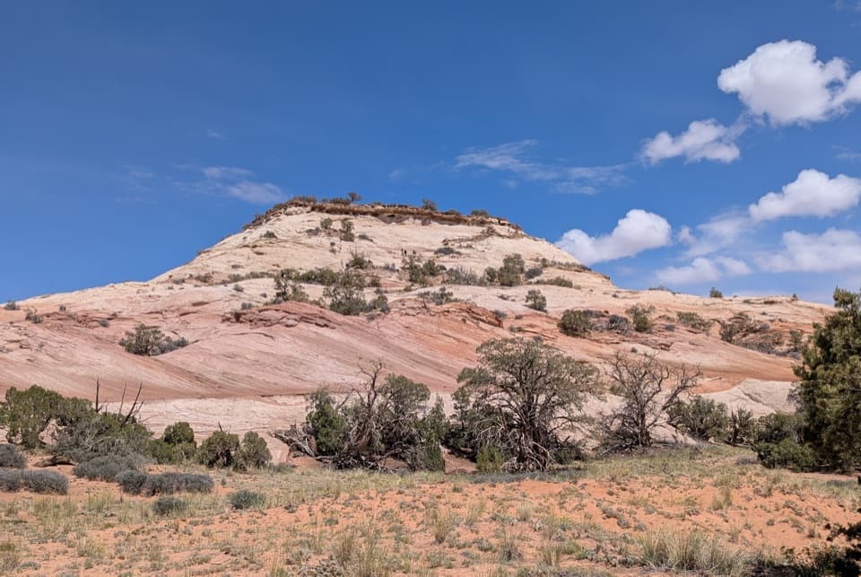 ModerateAztec Butte Trail1.4 mi · 1.8 hr · 2.8 mi awayTwo slickrock scrambles: one for canyon views, one for granaries.
 EasyGrand View Point Trail1.8 mi · 1.5 hr · 3.1 mi awayA short rim walk opens up a much bigger canyon panorama.
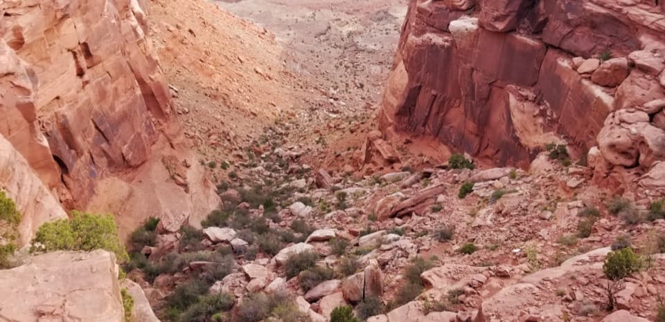 ChallengingWilhite Trail11.4 mi · 7 hr · 3.8 mi awayStrenuous 11.4-mile out-and-back to White Rim Road through Holeman Basin.
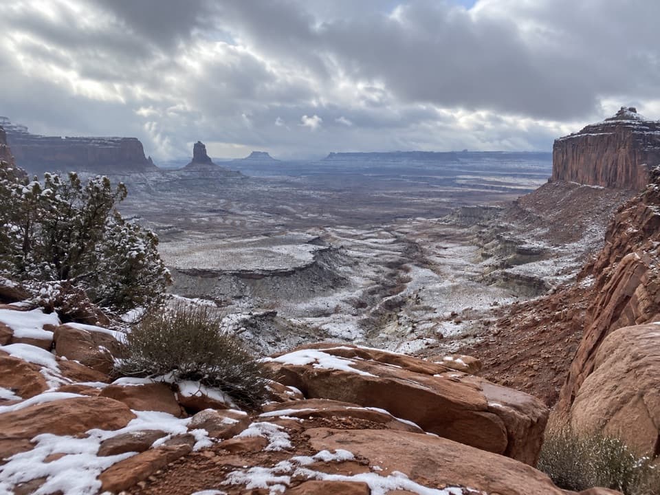 ModerateFalse Kiva Trail1.9 mi · 1.8 hr · 5.3 mi awayA rough, cairned descent to wide views over Holeman Canyon.
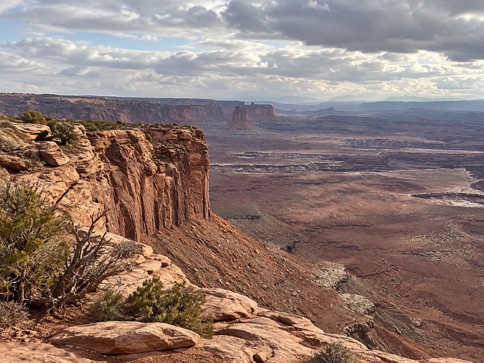 Sight · 0.7 mi awayBuck Canyon OverlookA quick eastward look across the White Rim.
 Scenic pullout · 1.4 mi awayCandlestick Tower OverlookA quick roadside look at Candlestick Tower and the canyon below.
 Sight · 1.6 mi awayMurphy PointA long mesa walk pays off with a wide Green River panorama.
 Sight · 2.1 mi awayGreen River OverlookSee the Green River as a thin line 1,300 feet below.
 Sight · 2.3 mi awayMesa ArchFamous for sunrise glow; the canyon view is worth a later stop.
 Picnic area · 2.3 mi awayWhite Rim Overlook Picnic AreaPicnic tables and a vault toilet beside the overlook trailhead.
 Campground · 2.4 mi awayWillow Flat CampgroundA quiet, no-frills base near Green River Overlook and dark skies.
 Campground · 2.6 mi awayGooseberry Camping AreaTwo remote sites make a night on the White Rim possible.
Parkwolf’s Canyonlands ranking
The audio tour guide for the drive, plus offline maps, trails, and wildlife heatmaps for when the signal drops.


