Parking
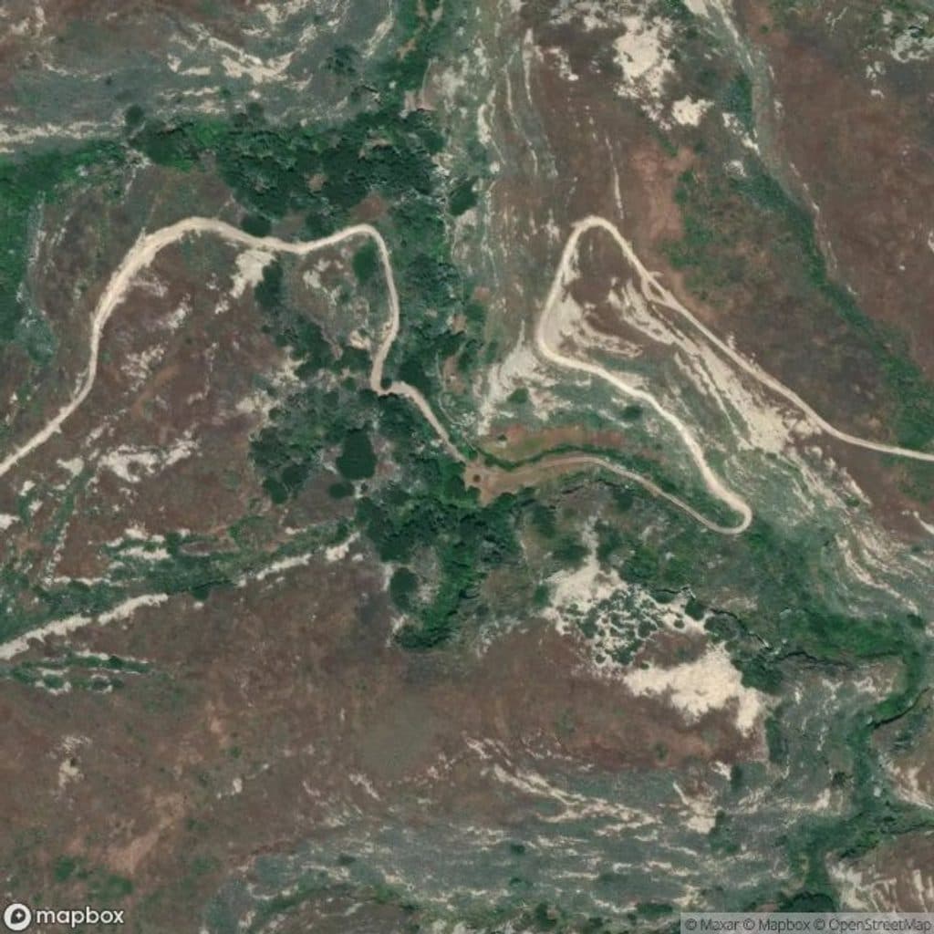
There is no island parking. Access is by boat from the mainland at Landing Cove; after the dock landing, climb the 157-step stairway to the plateau and Visitor Center trail system.

#9 of 31 trails in Channel Islands
Channel Islands National Park, CA
Full figure-eight walk across East Anacapa to Inspiration Point, Cathedral Cove, Pinniped Point, and the historic lighthouse
Overview
This is East Anacapa's full figure-eight walk from the Visitor Center. The mapped loop is about 2.3 miles and links the island's cliff-top overlooks, Cathedral Cove, Inspiration Point, Pinniped Point, and the 1932 Anacapa Lighthouse. Most of the hiking is easy, with gentle slopes once you reach the plateau.
Map & elevation
Plan your hike

The highest, rockiest slopes around here are a summer buffet for grizzly bears.
Channel Islands Tour Guide
Parkwolf is a GPS audio tour guide for Channel Islands National Park. As you drive, it chimes in with what’s ahead: hidden gems, upcoming stops, history, geology, and wildlife, right through your car’s speakers.
See the Channel Islands audio tourRecorded for this trailhead
Anacapa Island's Landing Cove and Visitor Hub“You're about to arrive at Landing Cove, the main hub for East Anacapa Island. Getting ashore here is an adventure itself — you’ll climb a ladder from the boat, then take about 150 steps up to the island's plateau.”
Plays as you drive up to this trailhead in the Parkwolf Channel Islands Tour Guide.
More stories near here in the app
“Fantastic app with many points of information… It’s great to just turn on while you’re driving and it gives you an audio tour of the national Park. We love it!!!!”


Trail guide
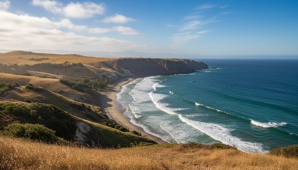
The route follows the top of East Anacapa's volcanic sea cliffs, with broad views across the Pacific and toward the neighboring Channel Islands. Inspiration Point is the western highlight; Cathedral Cove and Pinniped Point look down on sea caves, kelp water, seals, and sea lions. The eastern arm reaches the historic Anacapa Lighthouse and its surrounding light-station buildings.
The loop begins near the Visitor Center, follows the Landing Cove approach, and then traces the complete mapped figure-eight before returning to the visitor-center approach. The route is mostly easy dirt trail over gentle slopes, but the island is exposed and cliff edges are unguarded. Stay behind the marked viewing boundaries and remain on the designated trail; the bluffs are fragile and can erode.
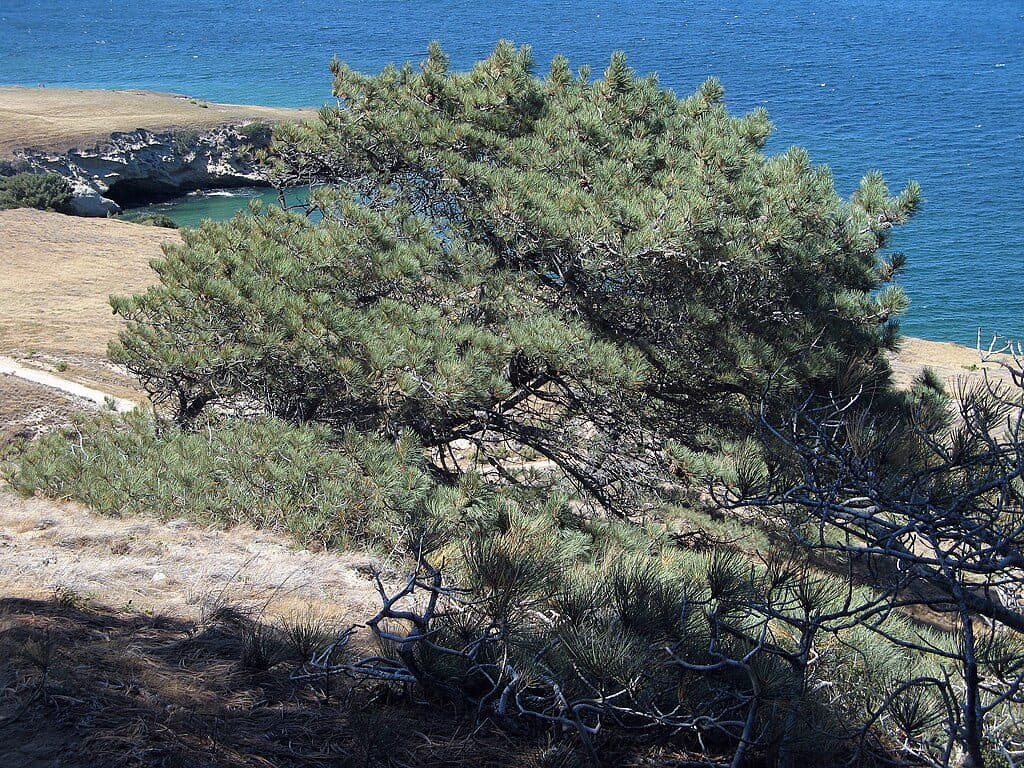
East Anacapa is a major seabird nesting island, with western gulls, brown pelicans, and other marine birds. From the overlooks, watch for harbor seals and California sea lions below, and occasionally dolphins or whales offshore. The island's volcanic cliffs, arches, and sea caves reflect ongoing marine erosion, while winter rain can briefly bring green vegetation and wildflowers.
Wildlife
 2,232 sightingsIsland FoxMost seen around 6 PMSighting map
 282 sightingsHumpback WhaleMost seen around 9 AMSighting map
 79 sightingsBlue WhaleMost seen around 7 AMSighting map
 101 sightingsGrey WhaleMost seen around 8 AMSighting map
 364 sightingsCalifornia Sea LionMost seen around noonSighting map
 105 sightingsBald EagleMost seen around 5 PMSighting map
Sighting maps show where each species has been reported across Channel Islands. Wildlife moves, so no sighting is guaranteed.
Keep exploring
 EasyLighthouse Overlook Trail0.5 mi · 30 min · At the trailheadShort, easy walk to classic lighthouse views over sea cliffs
 EasyInspiration Point Trail1.5 mi · 1.3 hr · At the trailheadEasy 1.5-mile loop from the Anacapa visitor center to the park's signature ocean overlook.ChallengingSmugglers Cove to Yellowbanks3 mi · 2 hr · 10.2 mi awayRugged 3-mile out-and-back from Smugglers Cove to the remote Yellowbanks beach
 ModerateNorth Bluff Trail3.8 mi · 2 hr · 11.1 mi awayExposed coastal loop from Scorpion Anchorage via Cavern Point and North Bluff to Potato Harbor views
 ModerateBluff Trail (Santa Cruz Island)5 mi · 2.5 hr · 11.1 mi awayExposed island bluffs leading from Scorpion Beach to Potato Harbor
 ModerateScorpion Canyon Loop Trail4.5 mi · 2.5 hr · 11.1 mi awayClockwise 4.5-mile island loop from Scorpion Anchorage with coastal views, an historic oil well, and endemic wildlife
 ChallengingSmugglers Cove Trail7.5 mi · 4.5 hr · 11.1 mi awayRemote island climb to a turquoise cove with big ocean views
 EasyScorpion Anchorage to Cavern Point2 mi · 1.5 hr · 11.3 mi awayA short coastal loop from Scorpion Anchorage to Cavern Point
 Ranger station · At the trailheadAnacapa Island Ranger StationCliff‑top ranger hub with exhibits, views, and gull drama
 Sight · 0.1 mi awayLanding CoveCliffside dock and ladder to Anacapa’s kelp-filled playground
 Sight · 0.2 mi awayEast Anacapa IslandClifftop lighthouse views, seabirds, and spring wildflowers above the Pacific
 Sight · 0.2 mi awayLighthouse Keepers’ QuartersSpanish Revival quarters beside a windswept 1932 lighthouse
 Sight · 0.2 mi awayAnacapa Island LightHistoric cliff-top light with big views and seabird action
 Campground · 0.2 mi awayAnacapa Island CampgroundRemote bluff‑top camping with big ocean views and nesting seabirds
 Sight · 0.3 mi awayCathedral CoveClifftop window onto kelp forests, sea caves, and marine life
 Sight · 0.4 mi awayArch Rock (Anacapa Island)Signature sea arch a short paddle from East Anacapa’s dock
Parkwolf’s Channel Islands ranking

The audio tour guide for the drive, plus offline maps, trails, and wildlife heatmaps for when the signal drops.