Bannister Bridge Canoe Landing in Congaree National Park

#9 of 9 sights in Congaree

Sight · Congaree National Park

Bannister Bridge Canoe Landing

A shady put-in, with a 130-yard rooty carry to the creek.

Type
Sight
Nearest trail
1.9 mi
Audio stories
3 nearby
  • Parking

Hear the audio tour

Bannister Bridge Canoe Landing

Overview

About Bannister Bridge Canoe Landing

Why stop

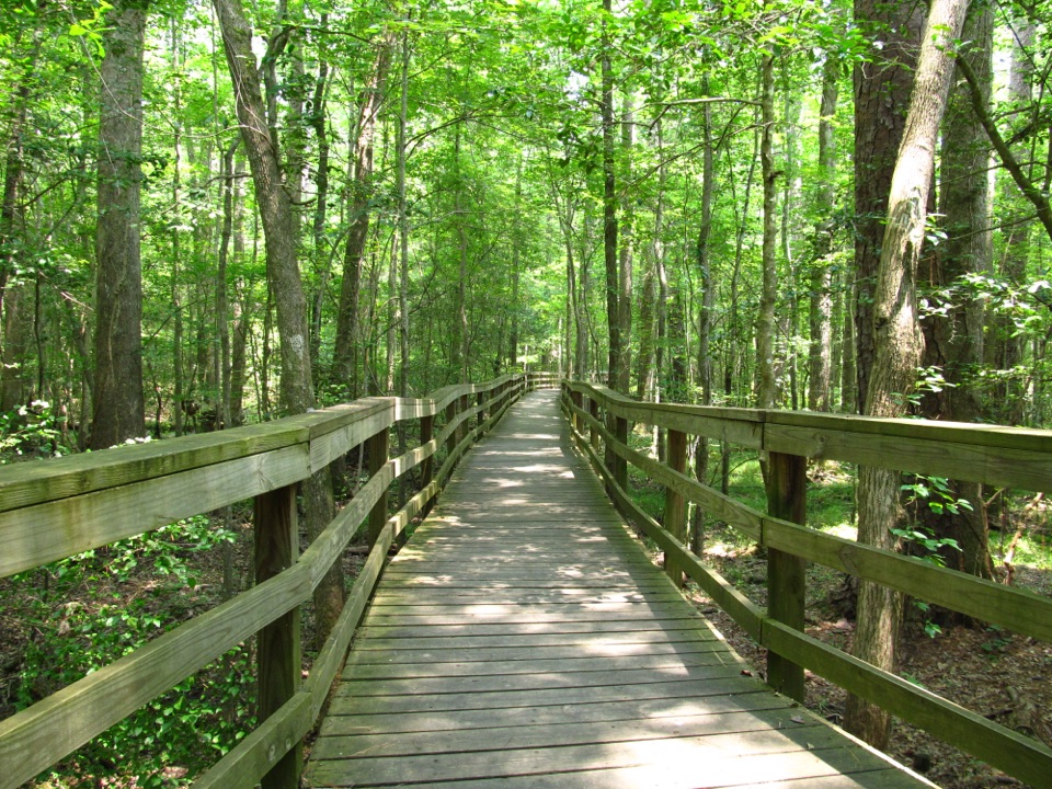
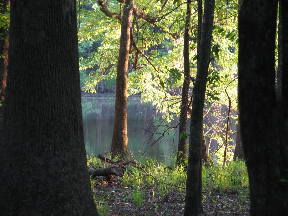
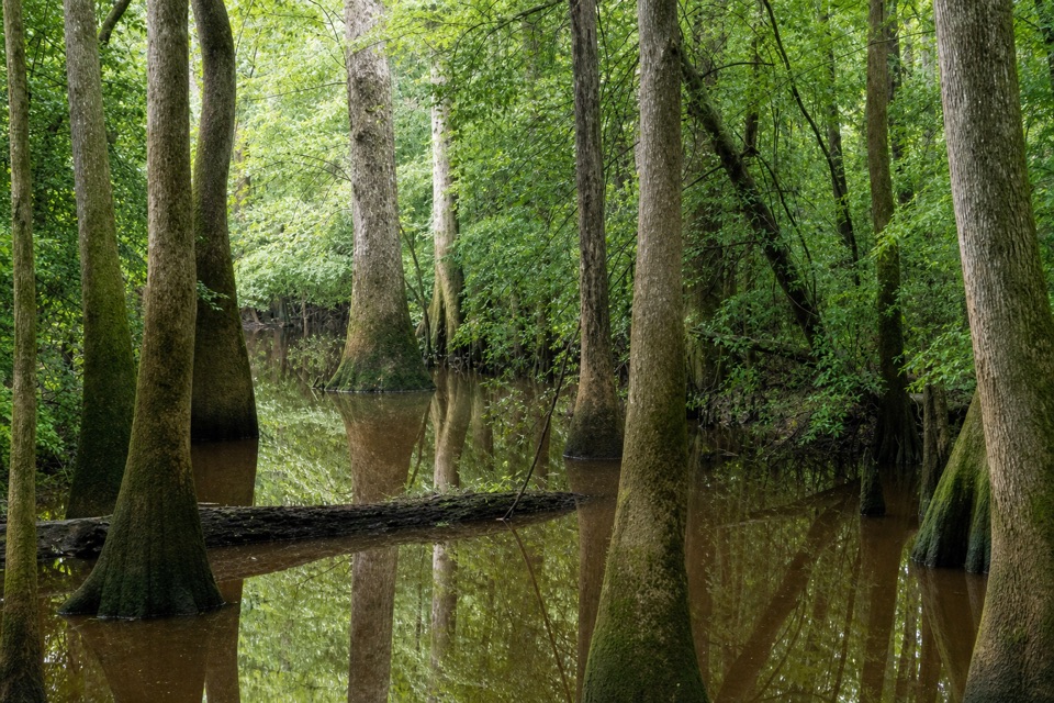
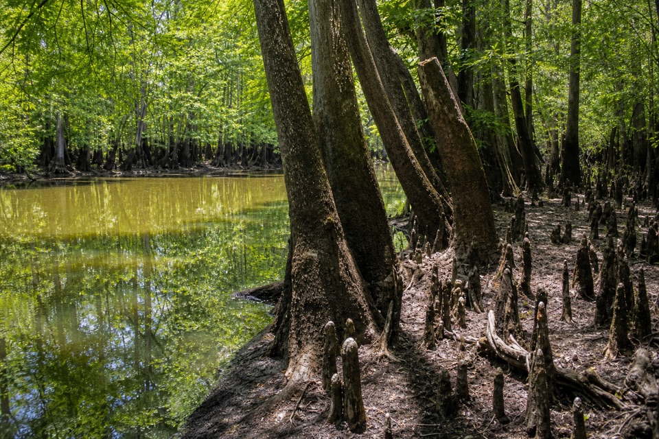
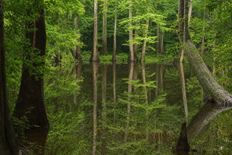
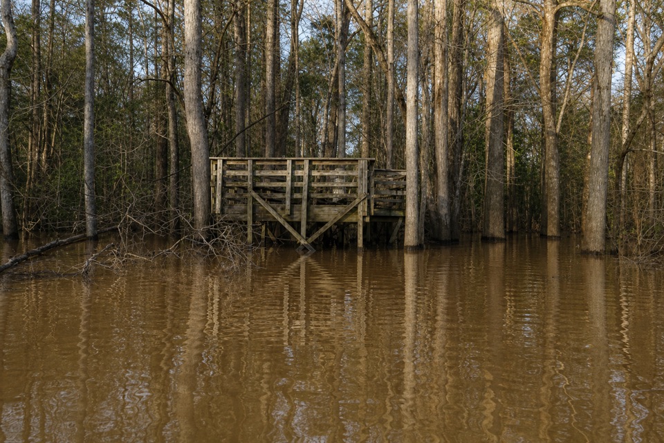
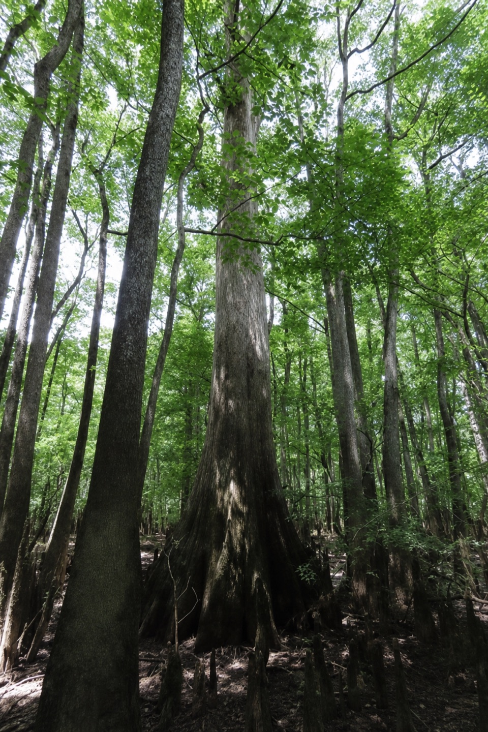
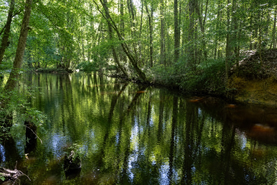
  • A shaded creek with large forest trees and distinctive cypress knees.

Heads up

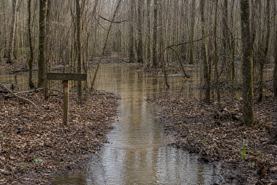
  • The 130-yard, root-obstructed boat carry and common logjam portages.

Map

Where it is

Loading the Congaree map
Full map
SightBannister Bridge Canoe Landing33.84013, -80.86051
Keep this map with you offline in the Parkwolf app

Plan your stop

Before you go

2 active Congaree alerts

  • CautionDowned trees obstruct Cedar Creek paddling routeMentions Cedar Creek, referenced in this guideExpect significant portages and carry-overs of logs and other obstacles on Cedar Creek between Bannister’s Bridge and South Cedar Creek because trees are down across the creek.Official details
  • CautionNavigation hazards on backcountry trailsOakridge, Boggy Gut, and Kingsnake trails are open but may be difficult to follow in some areas; carry GPS and use caution.Official details

Congaree alerts
A park ranger sits on a dash-mounted phone, talking, as Parkwolf’s Tour Guide plays “Army Cutworm Moths: A Grizzly Bear Buffet” on Grand Loop Road below Dunraven Pass in Yellowstone
Parkwolf Tour GuideThe highest, rockiest slopes around here are a summer buffet for grizzly bears.

Congaree Tour Guide

Your drive to Bannister Bridge Canoe Landing, narrated.

Parkwolf is a GPS audio tour guide for Congaree National Park. As you drive, it chimes in with what’s ahead: hidden gems, upcoming stops, history, geology, and wildlife, right through your car’s speakers.

Recorded for this place

Bannister Bridge Canoe Landing
0:00 / 0:31
“Up ahead is Bannister Bridge Canoe Landing, the starting point for a longer Cedar Creek paddle. First comes a boat carry of about a hundred and thirty yards along a narrow, rooty path.”

Plays as you drive up to Bannister Bridge Canoe Landing in the Parkwolf Congaree Tour Guide.

More stories near here in the app

  • The Pine That Starts as Grass
  • Longleaf and Bluff Campgrounds
  • Harry Hampton Visitor Center and Boardwalk
  • A Plant That Lives in the Air
  • 13 audio storiesacross Congaree’s roads, triggered by GPS as you drive
  • Wildlife heatmapsfor Alligator, Wild Boar, Barred Owl, and 13 more
  • Works offlinemaps, 9 trails, 14 places, and audio download before you lose signal
  • CarPlay readysimple controls built for the drive
★★★★★
“Fantastic app with many points of information… It’s great to just turn on while you’re driving and it gives you an audio tour of the national Park. We love it!!!!”
JMJamesApp Store review
Download Parkwolf on the App StoreGet Parkwolf on Google Play

4.7 from 8,600+ ratings

Guide

More about Bannister Bridge Canoe Landing

The put-in has a carryBannister Bridge Canoe Landing is the vehicle access for the west end of Congaree's Cedar Creek…

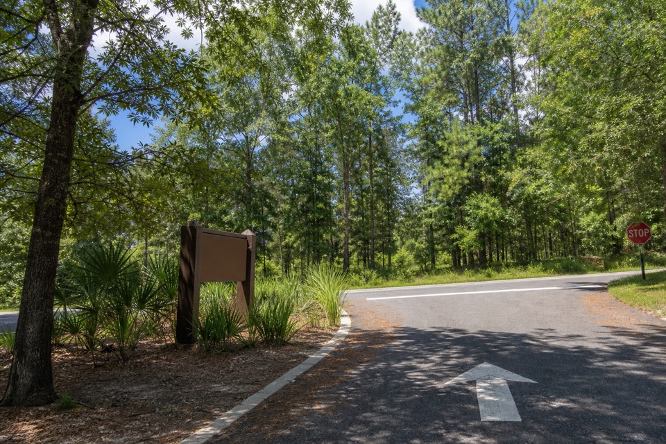
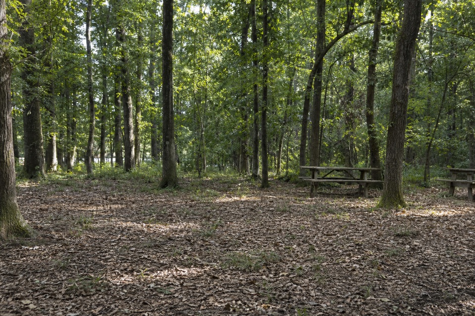
Bannister Bridge Canoe Landing is the vehicle access for the west end of Congaree's Cedar Creek Canoe Trail. The small gravel lot is off Old Bluff Road; the creek is reached by carrying your boat about 130 yards along a long, narrow dirt path with root obstructions. There is no restroom, and the long, rooty approach means you should not assume the launch is accessible. For the 6.2-mile trip to Cedar Creek Landing, allow four to six hours and arrange transport at the takeout before you launch.

Conditions can change the paddleThe creek starts narrow near the Cedar and Myers creeks confluence, then gradually widens…

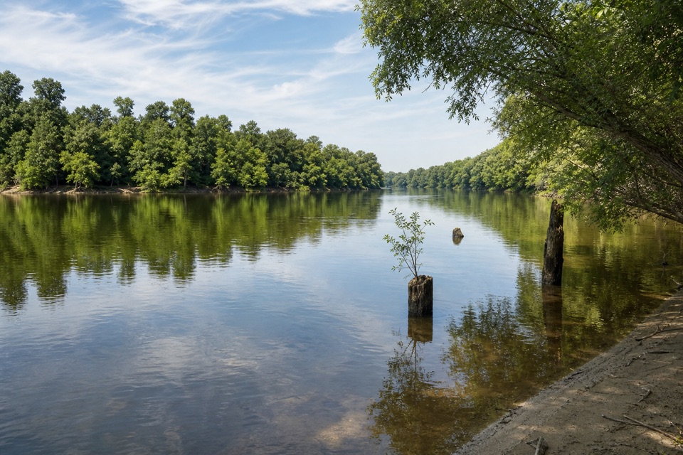
The creek starts narrow near the Cedar and Myers creeks confluence, then gradually widens downstream. Water levels can swing by as much as 10 feet; the park sets flood stage at 8 feet and advises against paddling above it. At some levels, route markers are hard to see. Downed trees and logjams are common and portages can eat into your time, so check current water levels and trail conditions before leaving. Bring a PFD, whistle, drinking water, food, and a map and compass.

Look into the canopyLarge oaks and loblolly pines crowd the banks, with bald cypress knees rising from the dark…

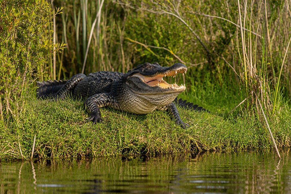
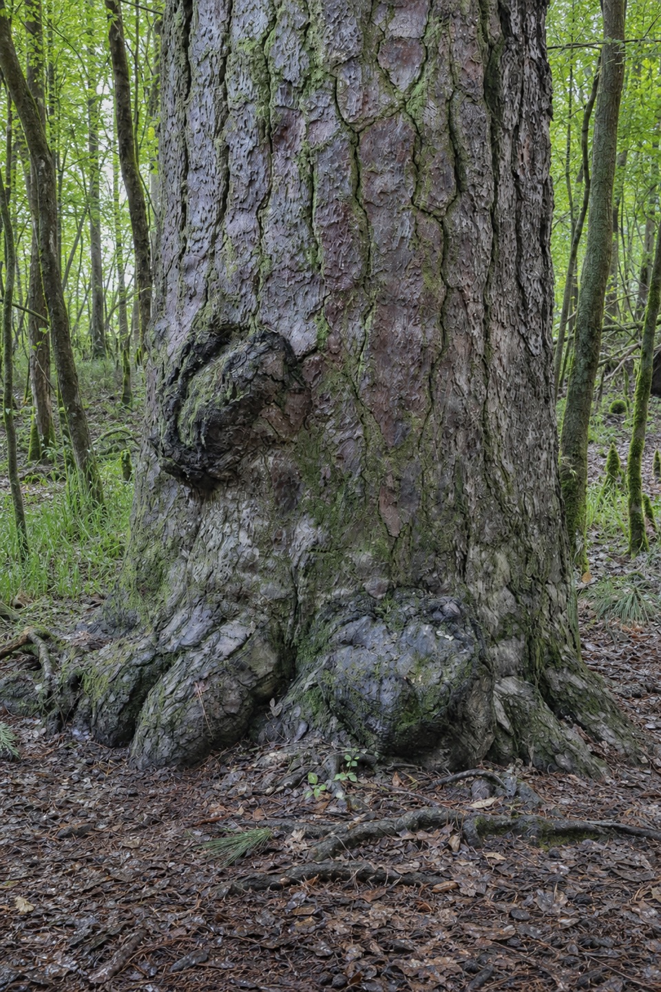
Large oaks and loblolly pines crowd the banks, with bald cypress knees rising from the dark water along the paddle. Fallen logs can give turtles and snakes a place to bask in spring and summer, though sightings are never guaranteed. At higher water, Wise Lake—a former channel of the Congaree River—is reachable from the creek.

Wildlife

Wildlife in Congaree

All Congaree wildlife maps

Sighting maps show where each species has been reported across Congaree. Wildlife moves, so no sighting is guaranteed.

Keep exploring

Near Bannister Bridge Canoe Landing

See it all on the map

Trails nearby

More stops nearby

Parkwolf’s Congaree ranking

Top sights in Congaree

All 14 places
  1. 1Weston Lake OverlookSight
  2. 2General Greene TreeSight
  3. 3Wise LakeSight
  4. 4Moonshine Still (Boardwalk Stop 15)Sight
  5. 5Richland County PineSight
  6. 6Bates Ferry LandingSight

Take Parkwolf to Congaree.

The audio tour guide for the drive, plus offline maps, trails, and wildlife heatmaps for when the signal drops.

4.7 from 8,600+ ratings

Download Parkwolf on the App StoreGet Parkwolf on Google Play