
All Cuyahoga Valley places
88 places
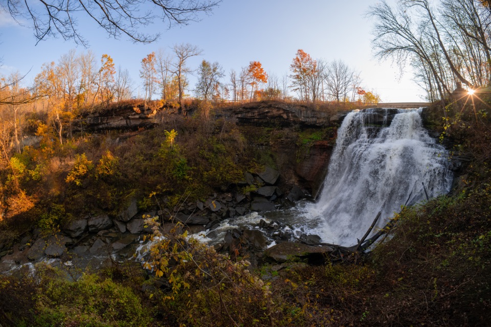 1Brandywine FallsA short boardwalk reveals a 60-foot waterfall and wooded gorge.
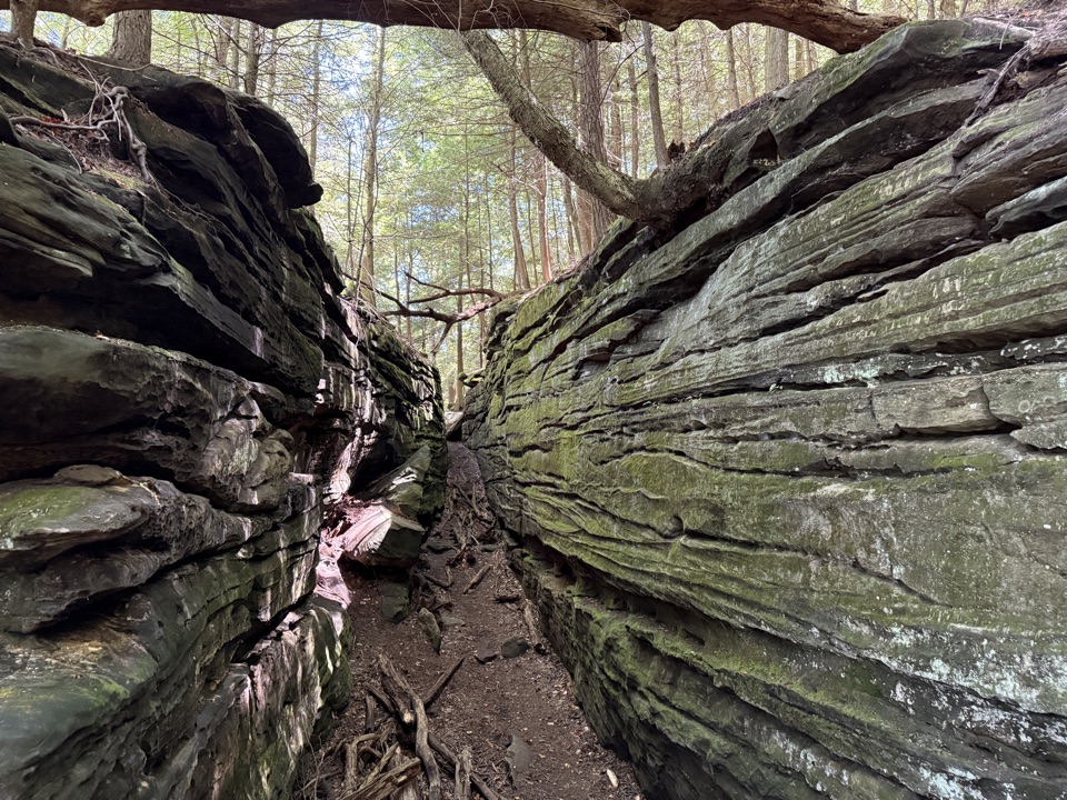 2The LedgesWalk sandstone crevices, then catch a west-facing view over the valley.
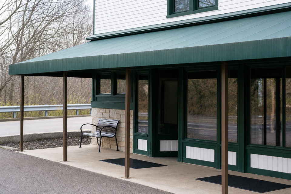 Boston Mill Visitor CenterStart here for ranger advice and a tactile map of the valley.
 3Beaver MarshA short boardwalk crosses a wetland shaped by returning beavers.
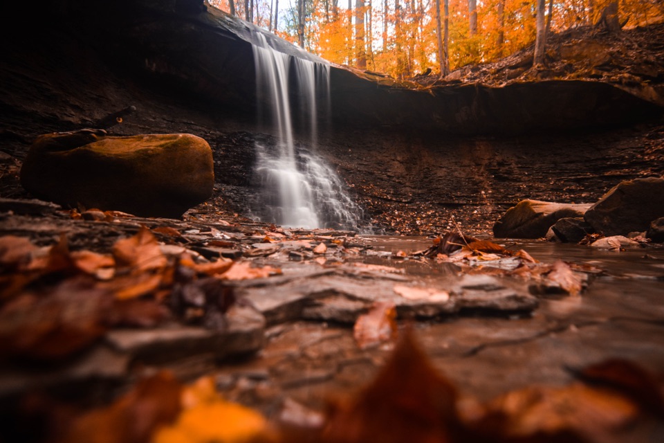 4Blue Hen FallsA 15-foot waterfall at the end of a hilly, wooded hike.
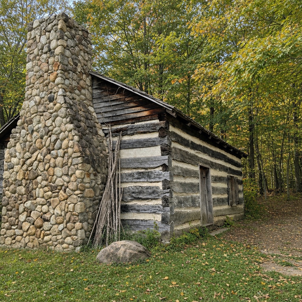 5Hale Farm & VillageHistoric houses, farm life and working crafts make a full afternoon.
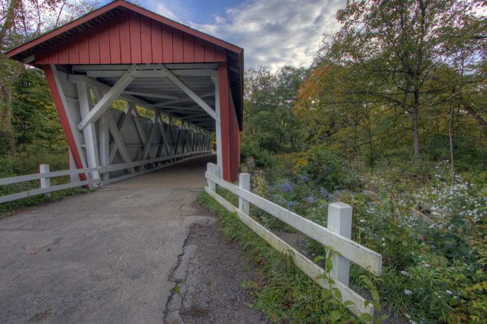 6Everett Covered BridgeSummit County's last covered bridge, rebuilt after a devastating flood.
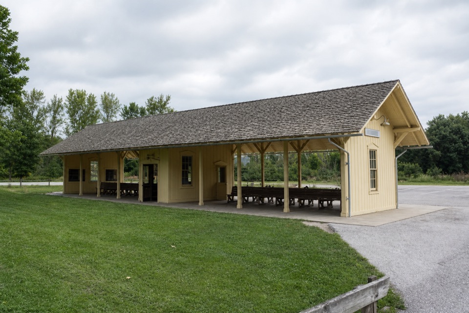 7Rockside StationBoard the Scenic Railroad at its Cleveland-area starting point.
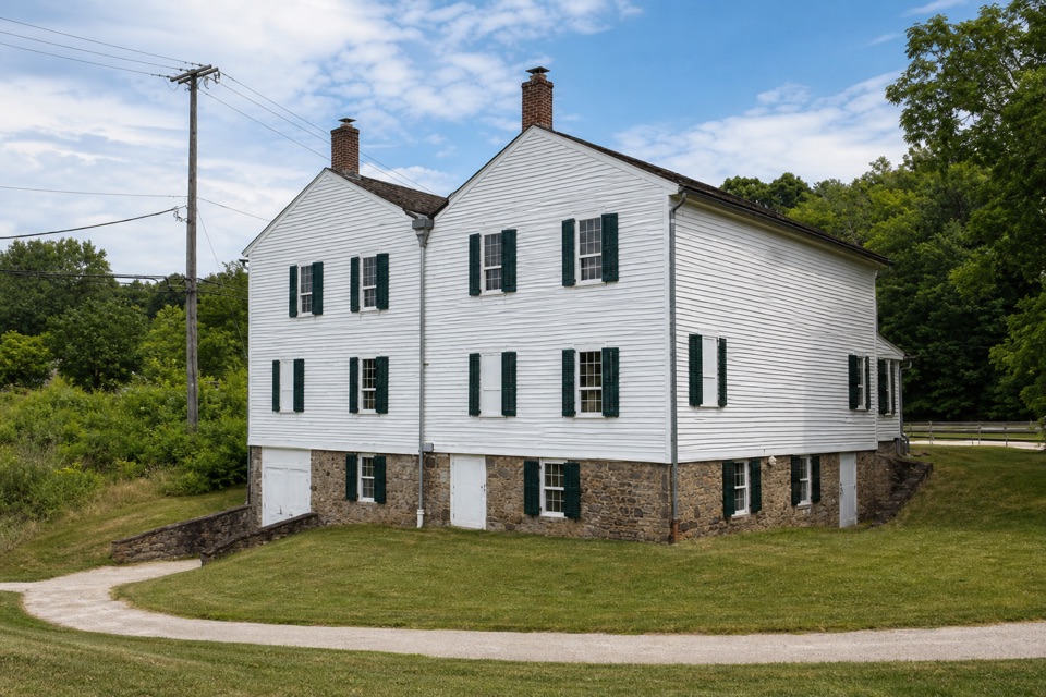 Canal Exploration CenterHands-on canal history beside Lock 38 and the Towpath.
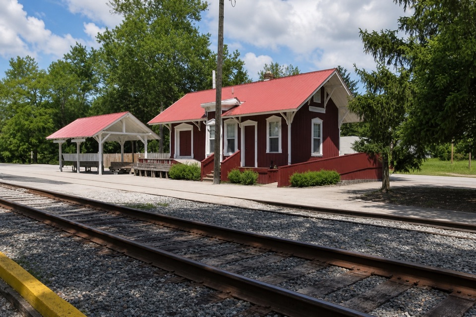 8Peninsula DepotCatch a train from the valley's only surviving historic depot.
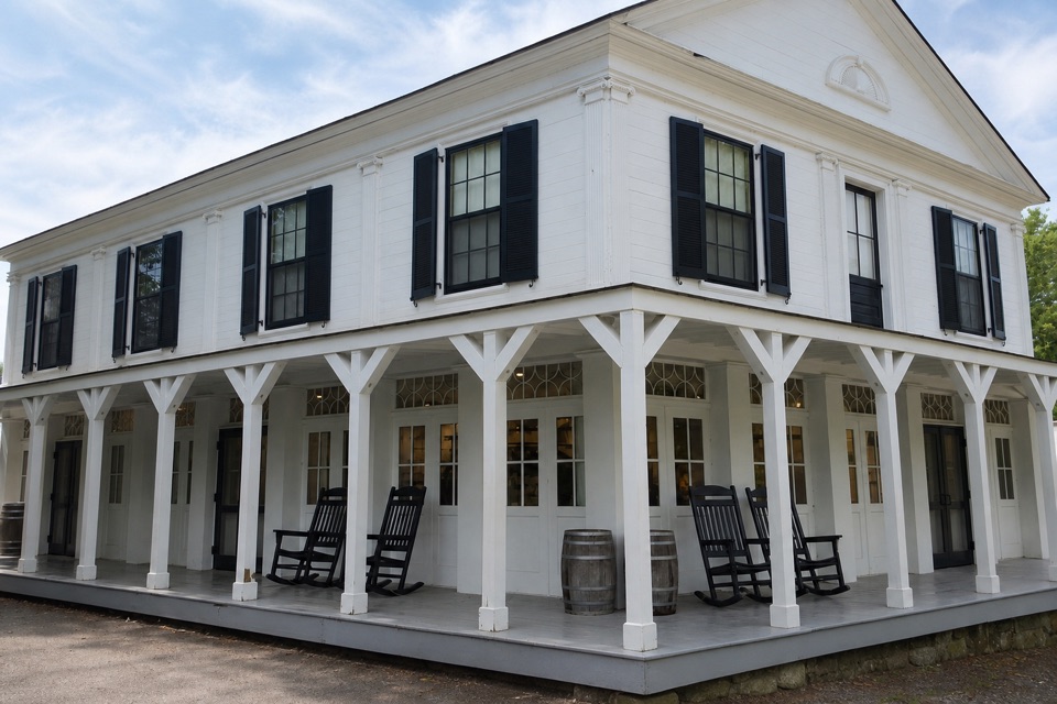 Boston StoreA canal-era store for ice cream beside the Towpath.
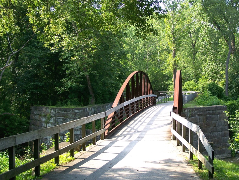 9Lock 29Step inside a sandstone lock that bottlenecked canal traffic.
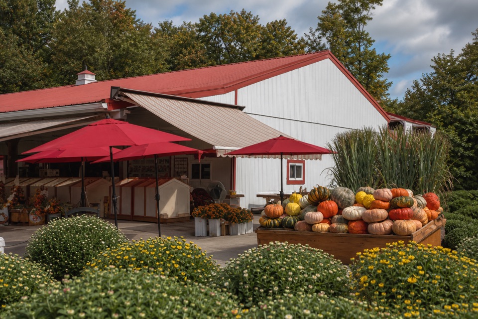 Szalay’s Farm & MarketA farm-market stop for sweet corn and fall fun.
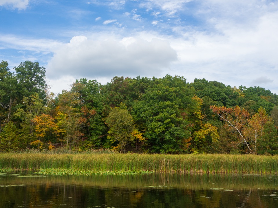 10Kendall LakeA CCC lake, fishing pier and shelter in one easy stop.
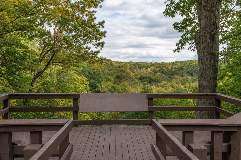 11Tinker's Creek Gorge Scenic OverlookA quick gorge view, best when the leaves are down.
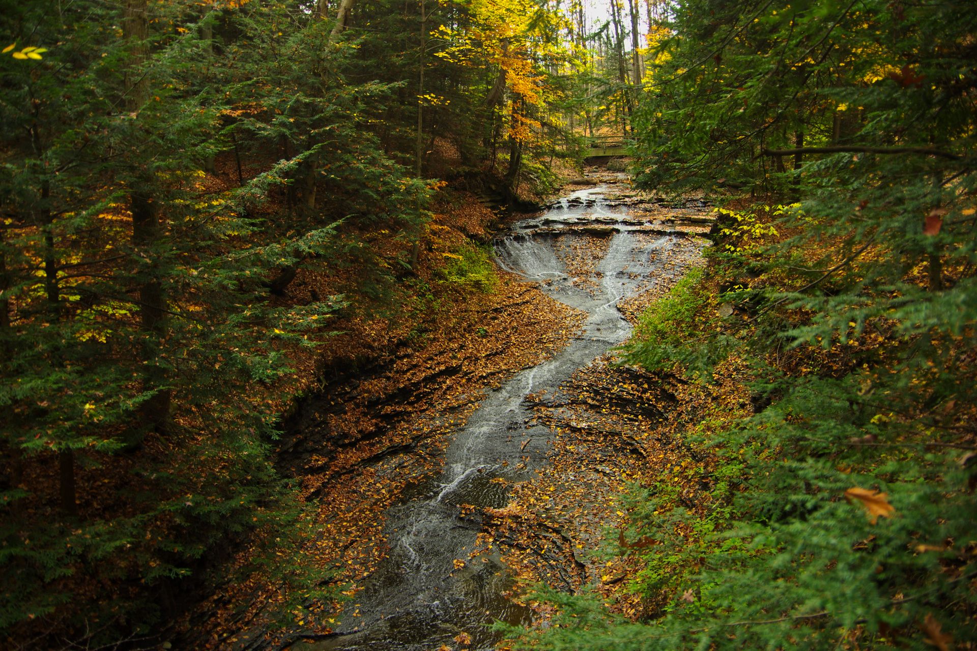
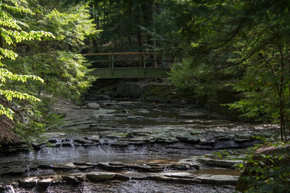 12Bridal Veil FallsA wooded cascade reached by boardwalk and a steep stair climb.
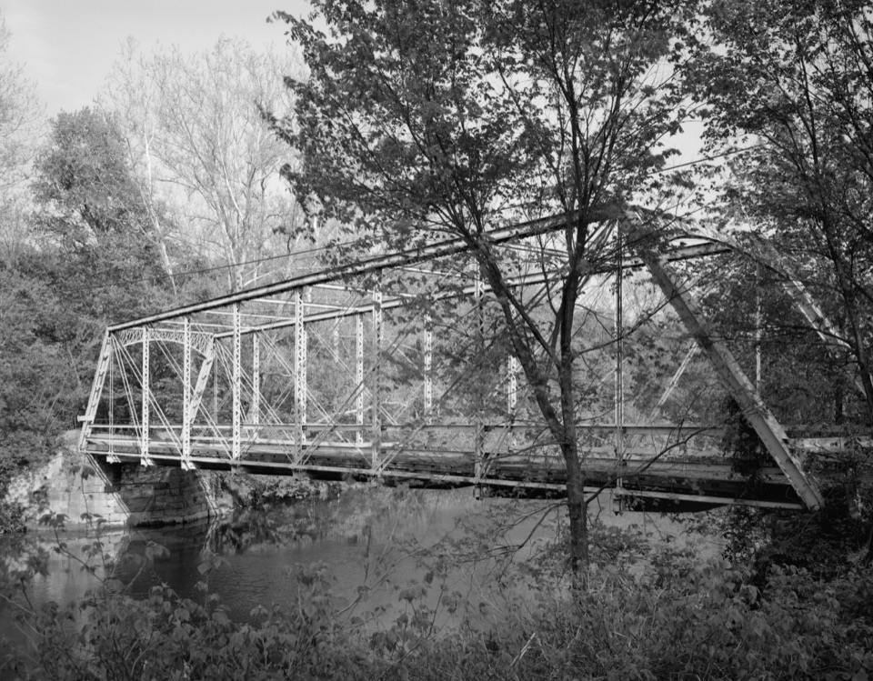 13Station Road BridgeWalk an 1881 iron bridge and catch Route 82's arches beyond it.
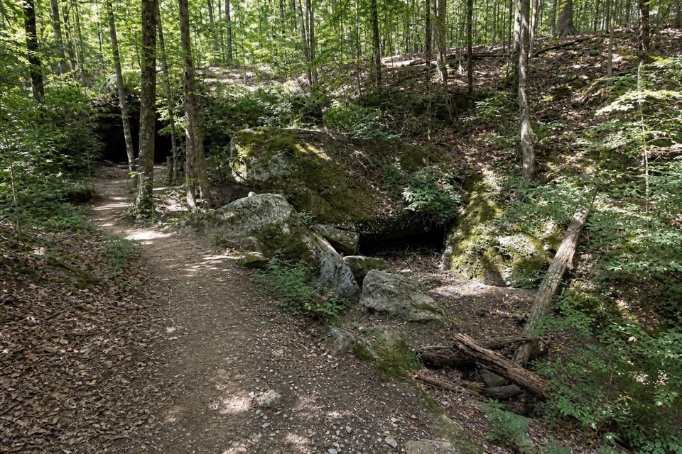 14Deer Lick CaveA shady sandstone overhang, reached by a short stair walk.
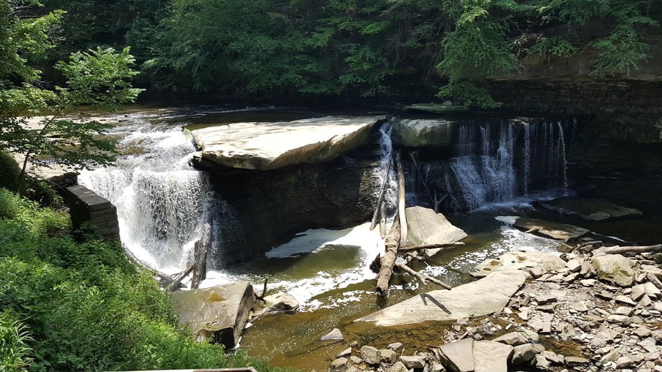 15Great Falls of Tinker's CreekA waterfall with a tunnel, a railroad viaduct, and mill ruins.
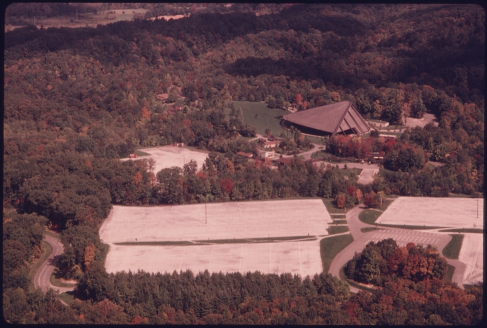 16Blossom Music CenterCleveland Orchestra’s summer home: covered Pavilion, open Lawn.
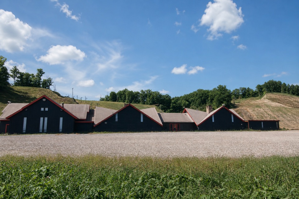 17Boston Mills Ski ResortQuick local laps, with a real challenge on the Tiger run.
 18Brandywine Ski ResortA local winter hill with a progression park and tubing next door.
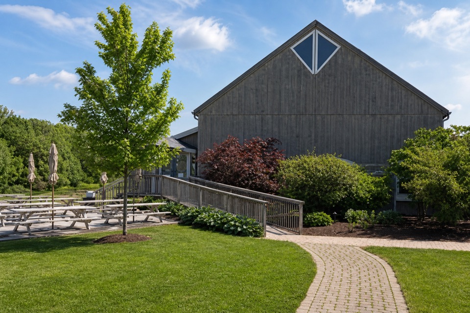 Sarah’s VineyardWood-fired pizza, estate wine and a pre-Civil War barn frame.
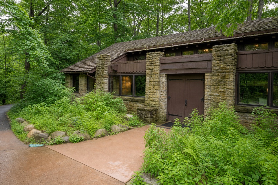 Brecksville Nature CenterA feeder window makes this 1939 trailside museum an easy stop.
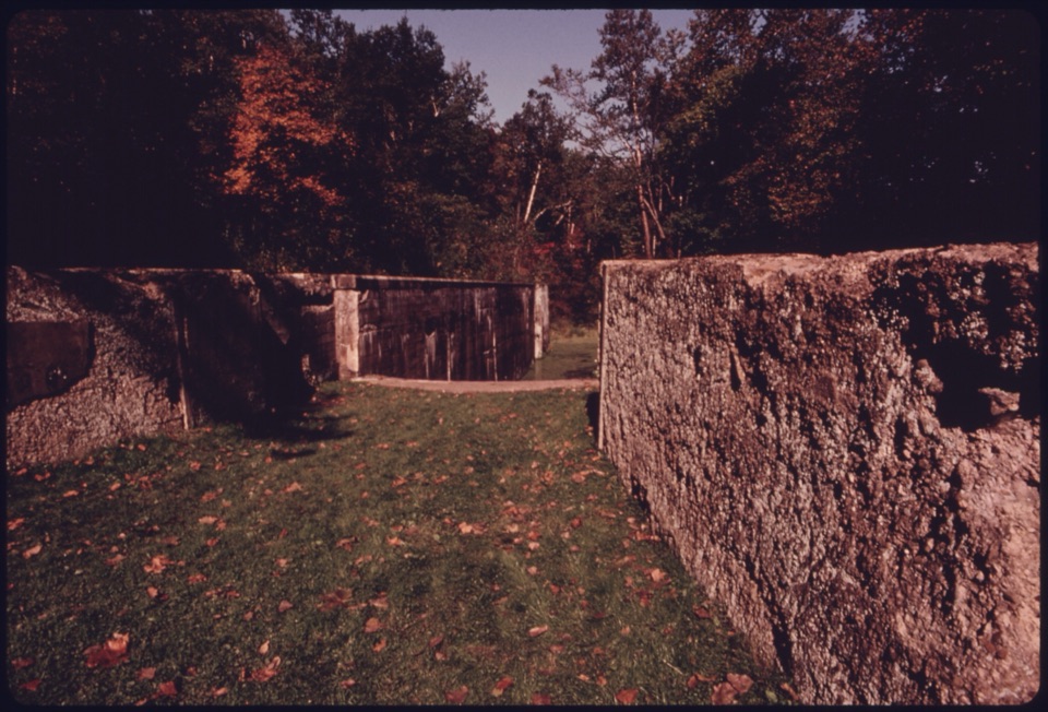 19Deep Lock QuarryA wooded hike to historic quarry walls and the canal's deepest lock.
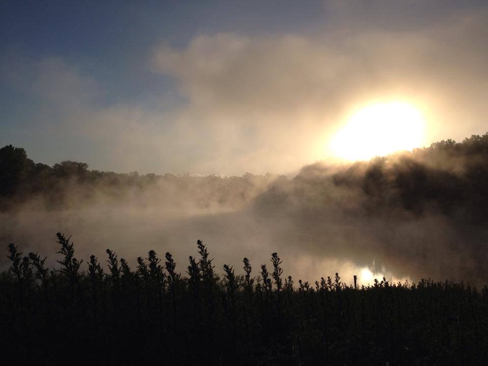 20Indigo LakeA former mine turned low-key lakeside picnic stop
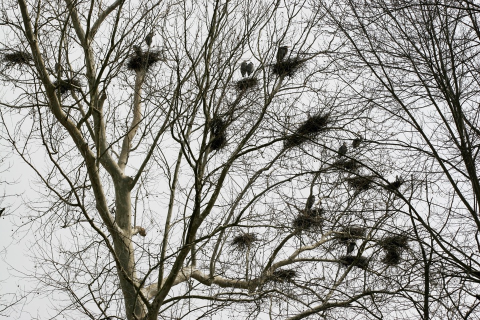 21Bath Road HeronryA spring heron nursery watched from a roadside pullout.
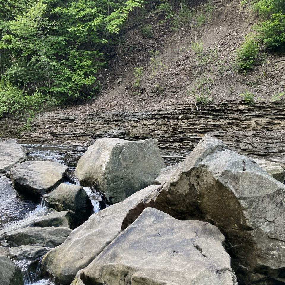 22Chippewa Creek Gorge Scenic OverlookA quick roadside view into a sandstone gorge.
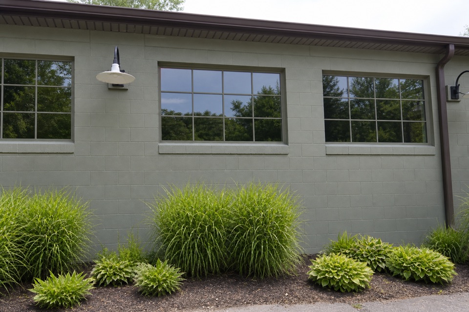 Trail Mix PeninsulaGifts, ice cream, and a train track right beside the shop.
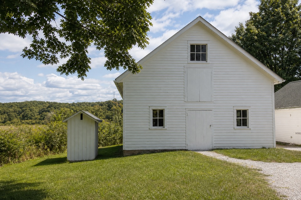 Hunt House and Outdoor ExhibitsA small historic house with hands-on stories of life in Everett.
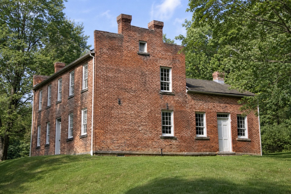 23Frazee HouseA hand-built brick house with a story tied to the old canal.
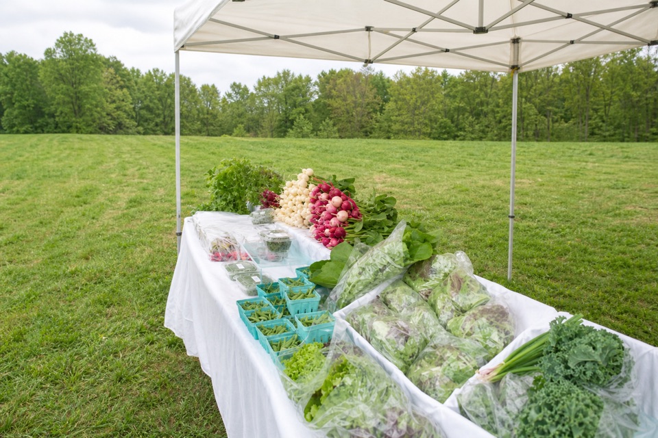 24Howe MeadowA seasonal market pairs local food with open-air summer concerts.
 25Greenfield Berry FarmA 20-acre farm combines berry picking, cut flowers and hands-on tours.
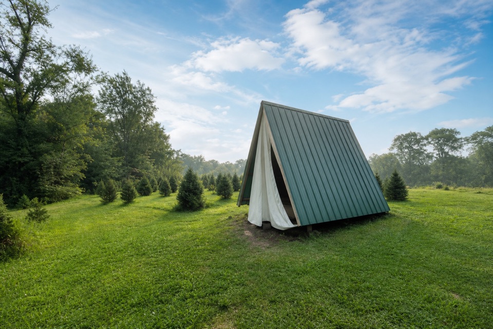 Heritage FarmsChristmas trees, fall pumpkins, and walk-in camping.
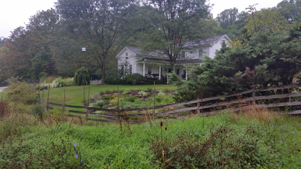 The Inn at Brandywine FallsA historic B&B puts Brandywine Falls within an easy walk.
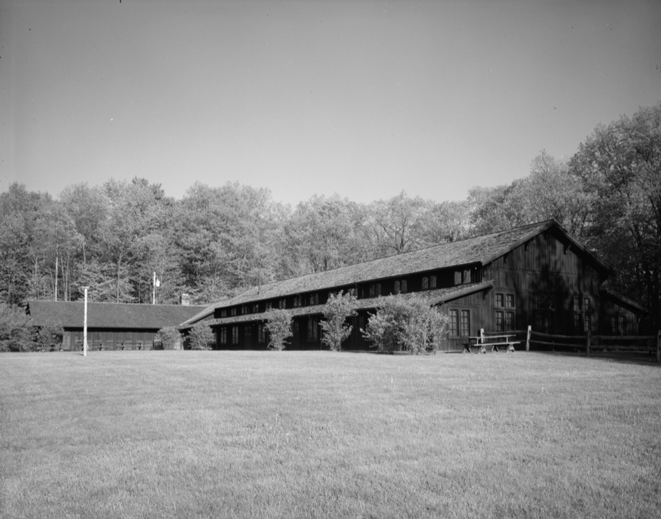 26Happy Days LodgeA CCC-built lodge for concerts, programs and special gatherings.
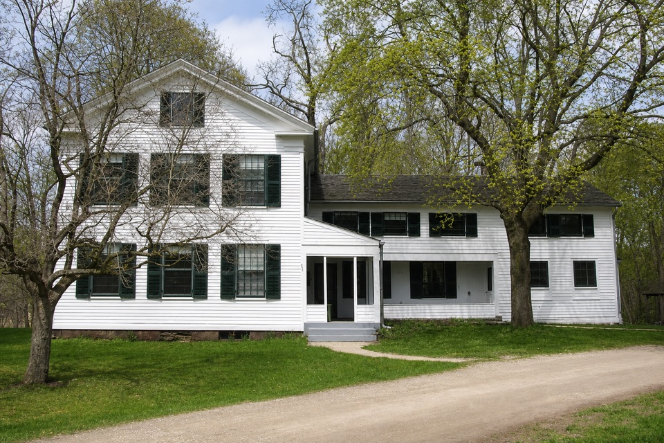 27Stanford HouseA Greek Revival farmhouse shaped by the canal-era valley.
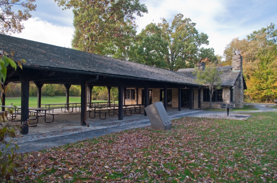 Ledges ShelterCCC-built group picnic shelter beside the Ledges Trailhead
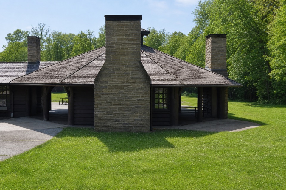 Octagon ShelterA low-roofed CCC shelter beside the Ledges trails.
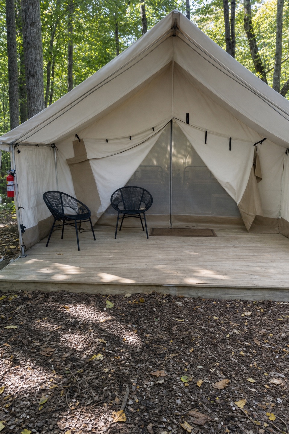 Valley OverlookA wooded base with furnished tents, cabins, and a west-facing valley view.
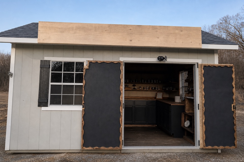 Keleman Point FarmA year-round stand for the farm’s rotating local goods.
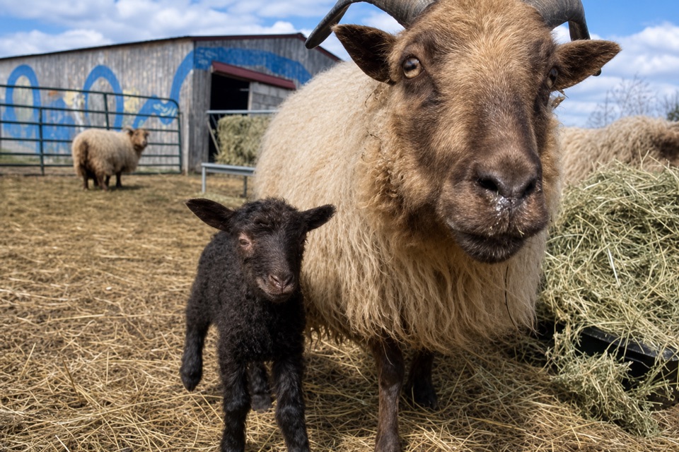 Oxbow OrchardA farm market for seasonal produce, flowers, and local food.
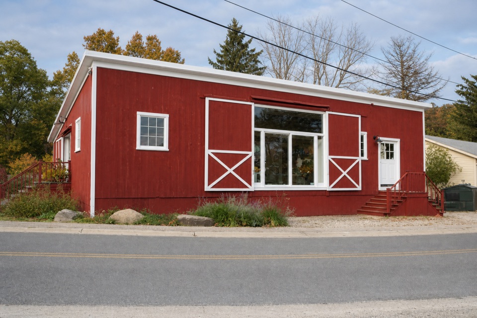 Purplebrown Farm StoreLocal groceries, coffee, and seasonal lunch in Peninsula.
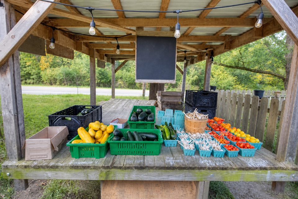 Trapp Family FarmEggs and seasonal produce from a draft-horse farm stand.
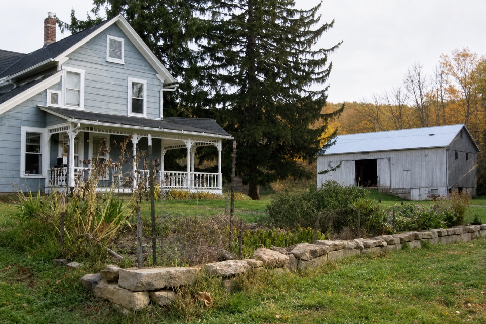 The Neitenbach FarmA working vegetable and herb farm with an on-farm stand.
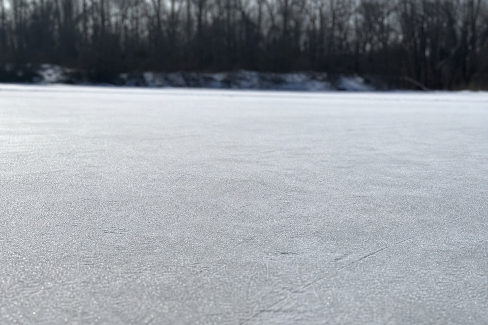 28Brushwood LakeA small fishing pond with a bigger story than its size.
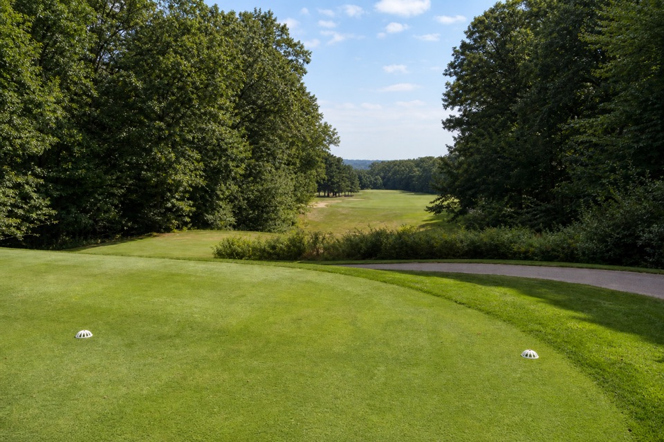 29Sleepy Hollow Golf CourseA hilly Stanley Thompson course doubles as a winter sledding hill.
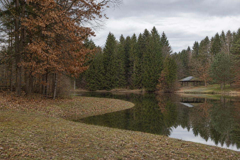 30Horseshoe PondA calm pond stop for fishing, a picnic, or a short walk.
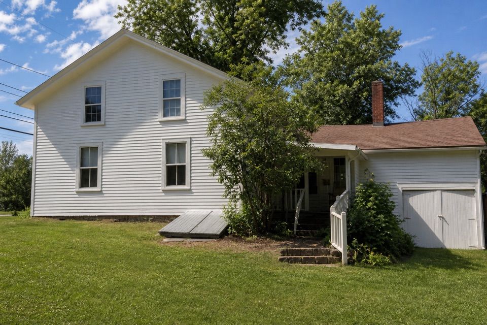 31Squire Rich MuseumSix rooms keep Brecksville’s local story inside a historic family home.
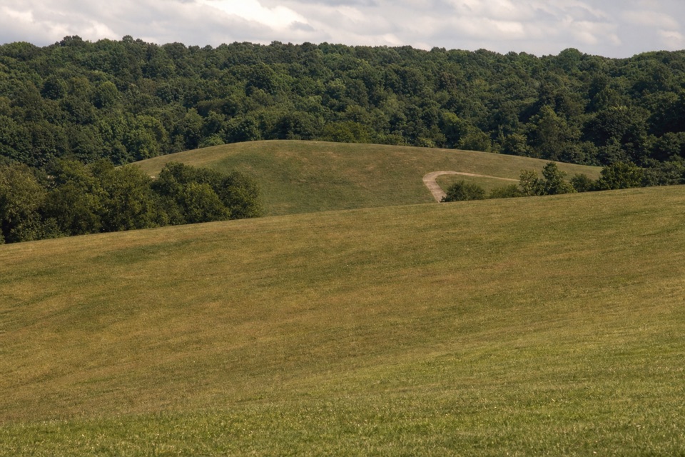 32Kendall HillsSledding slopes in winter; trails and meadows through the year.
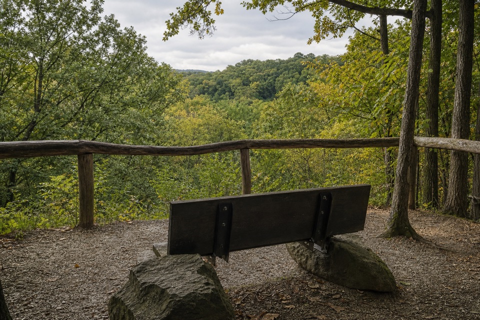 33My Mountain OverlookA quiet bench stop above Chippewa Creek, best in leaf-off season.
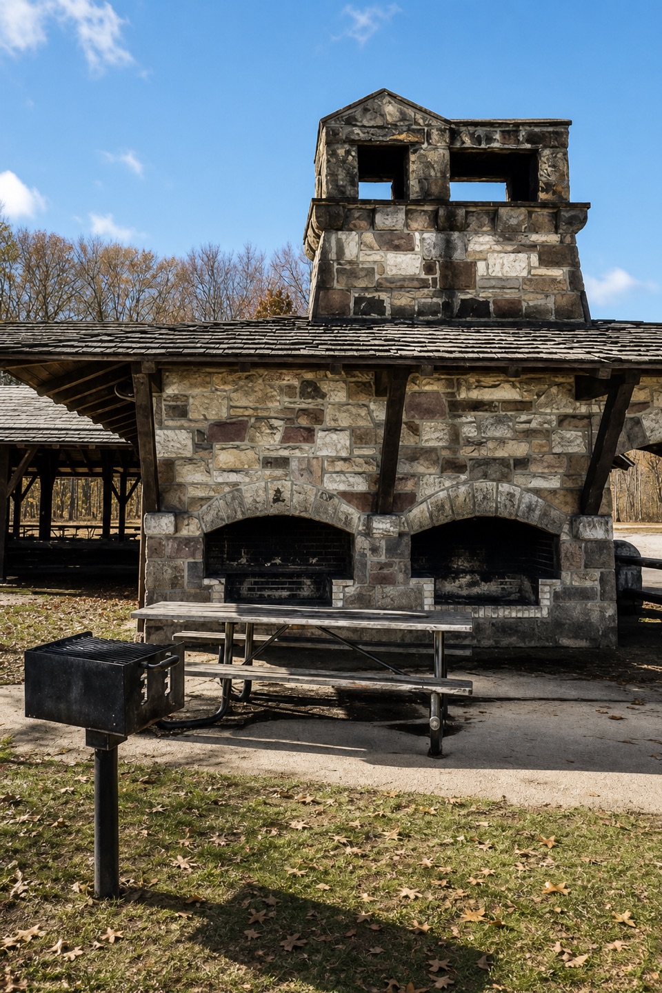 Oak Grove Picnic AreaA large, well-equipped pavilion for group picnics.
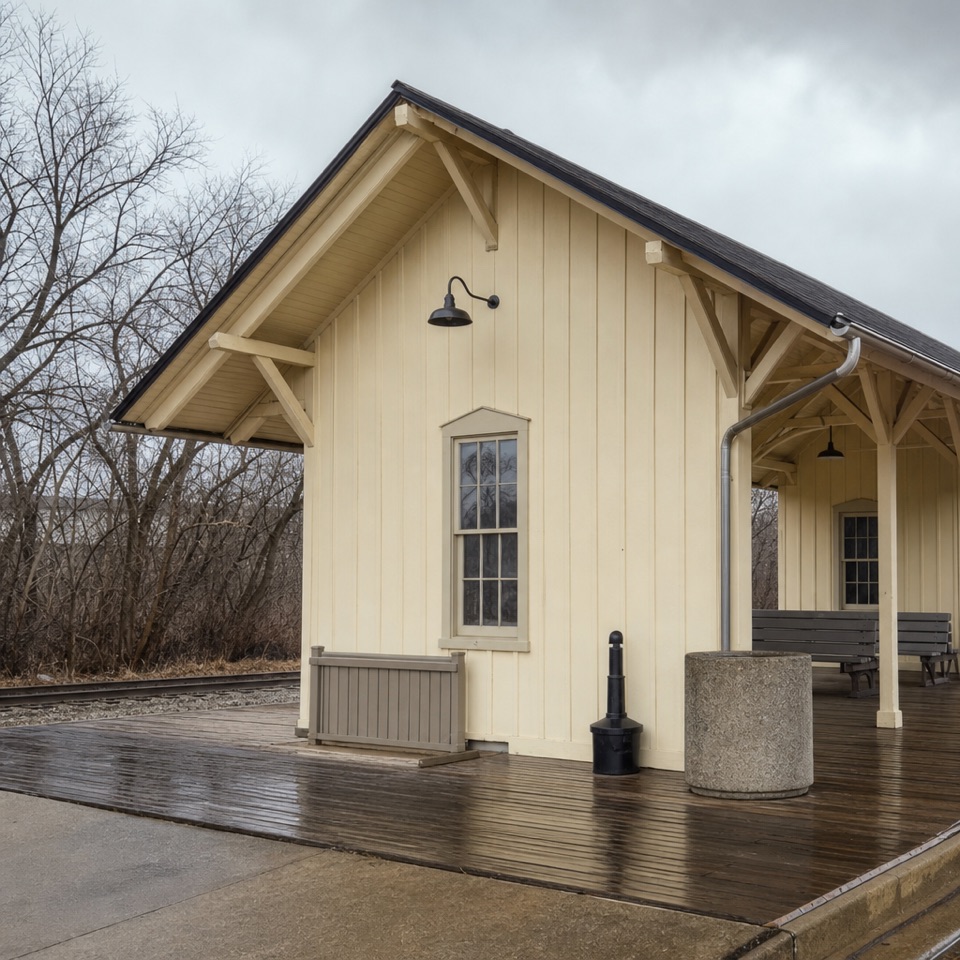 34Akron Northside StationBoard here for a rail trip or a Towpath outing.
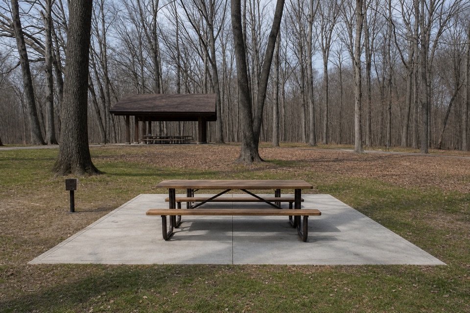 35Little OverlookA short woodland walk to a view over Tinker's Creek Valley.
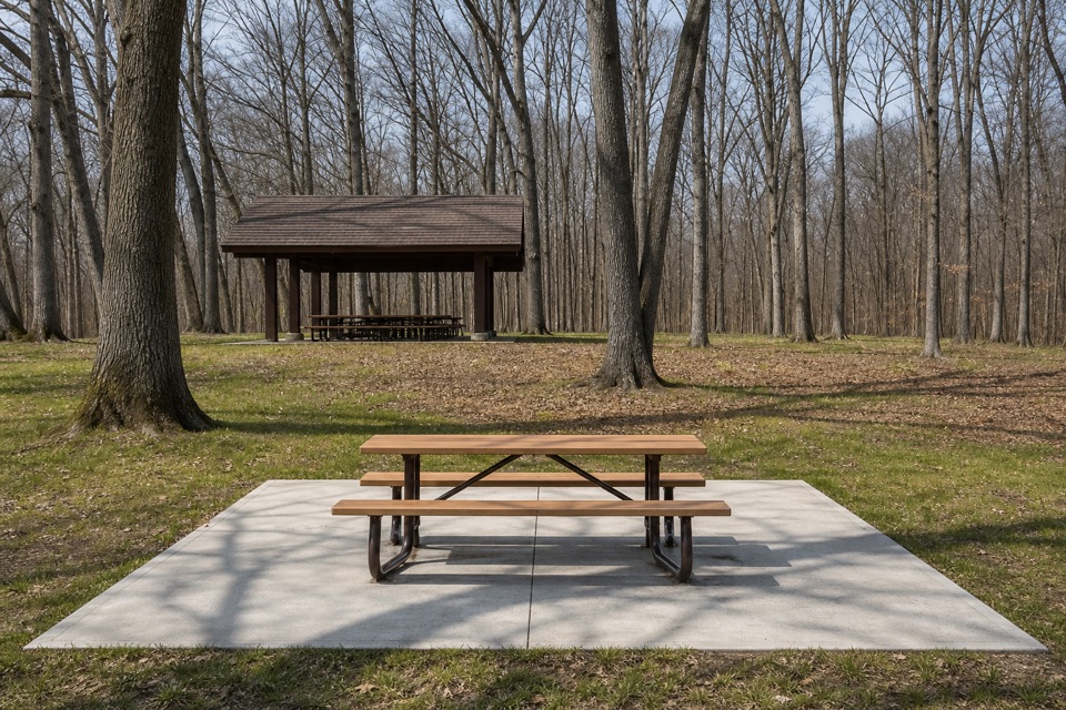 Egbert Picnic AreaA wooded picnic base with trails leading into Tinker's Creek country.
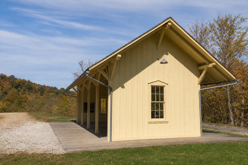 36Boston Mill StationA handy train stop for linking a ride with nearby trails.
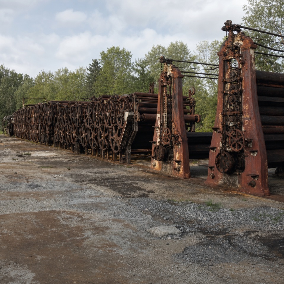 37Jaite Mill SiteA short Towpath walk to a paper mill’s surviving machinery and markers.
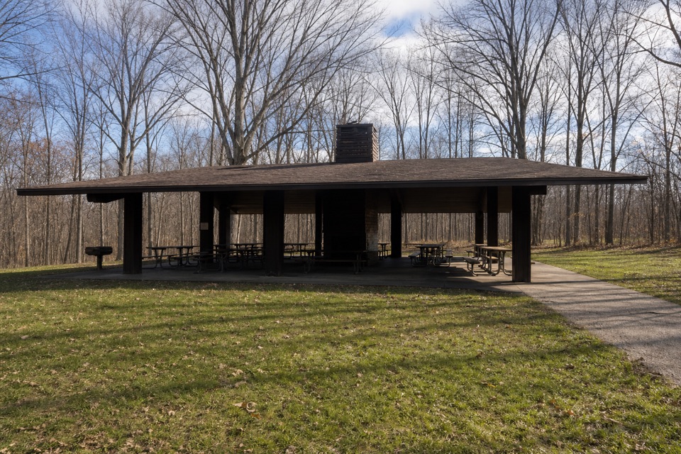 Ottawa Point Picnic AreaA reservable group shelter right on the Buckeye Trail.
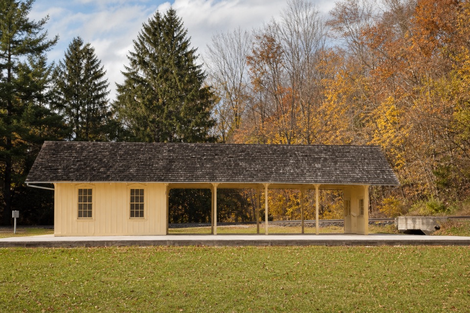 38Brecksville StationA useful flag stop for a one-way train-and-trail outing.
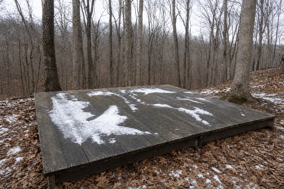 Ottawa Overlook Backcountry SitesThree hike-in tent sites share a basic backcountry kitchen
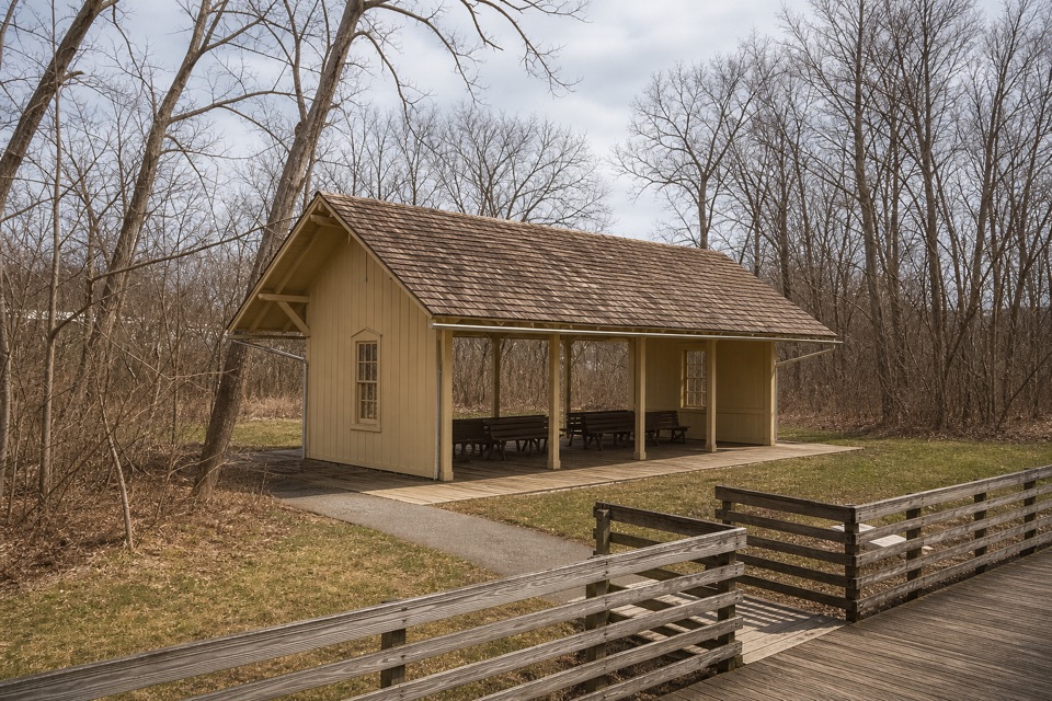 39Canal Exploration Center StationA compact rail stop links canal exhibits to the Towpath Trail.
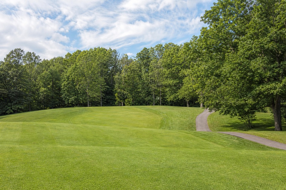 40Shawnee Hills Golf CoursePlay a full round or take the beginner-friendly nine-hole option.
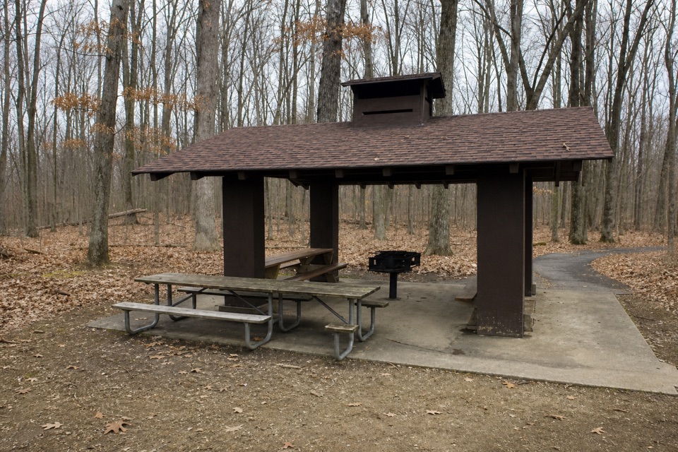 Meadows Picnic AreaAn easy picnic base with a cookhouse and nearby trail access.
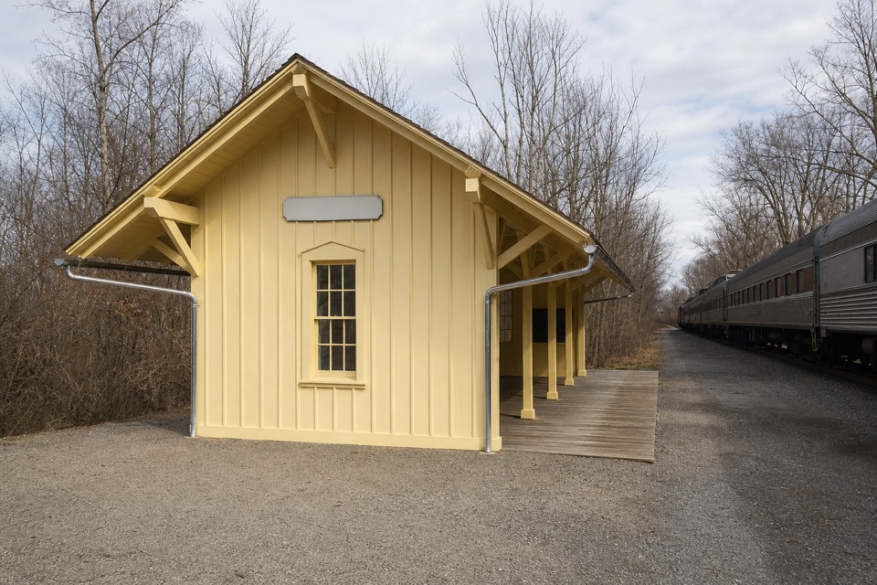 41Indigo Lake StationA train stop for an easy lake loop and Towpath connection.
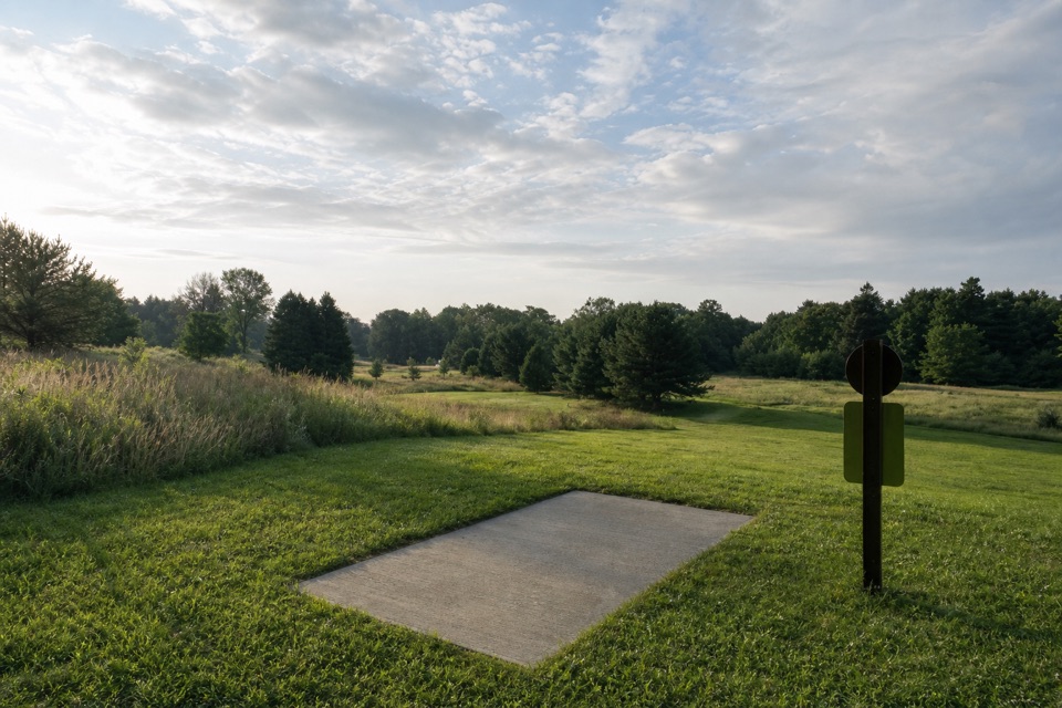 42Astorhurst Disc Golf CourseA long, hilly 18-hole round over a former golf course.
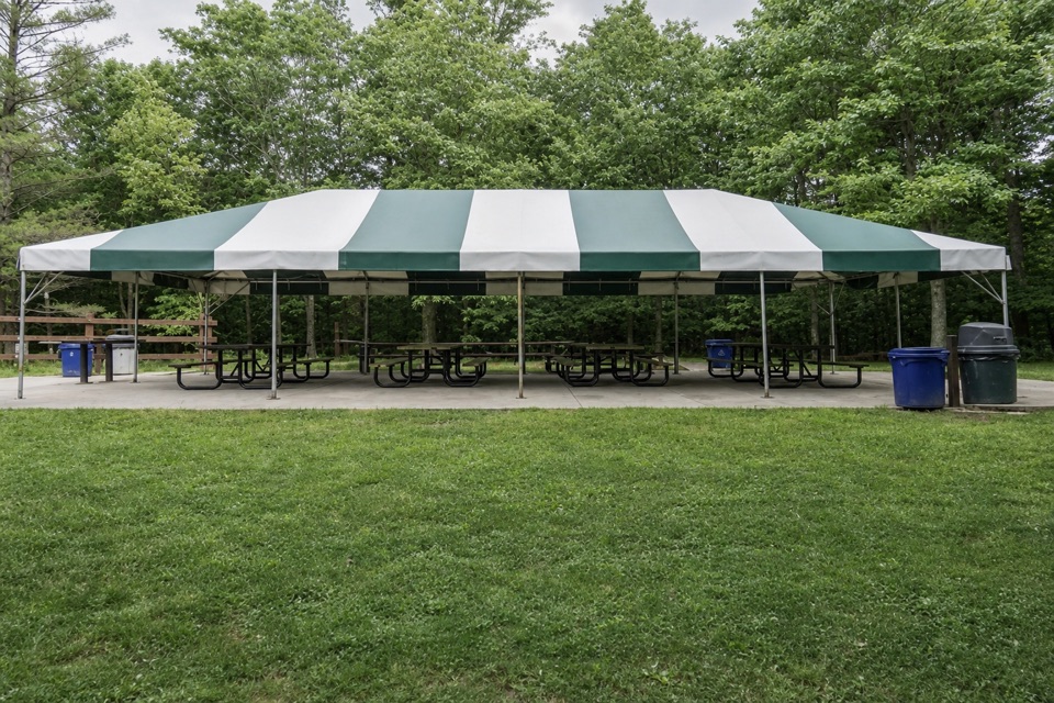 Lost Meadows Picnic AreaA 20-by-40-foot canopy gives group picnics room to spread out.
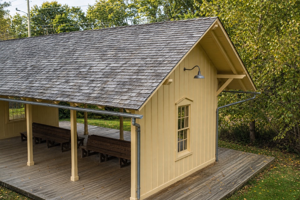 43Botzum StationA train stop with a tiny exhibit on the valley's rail past.
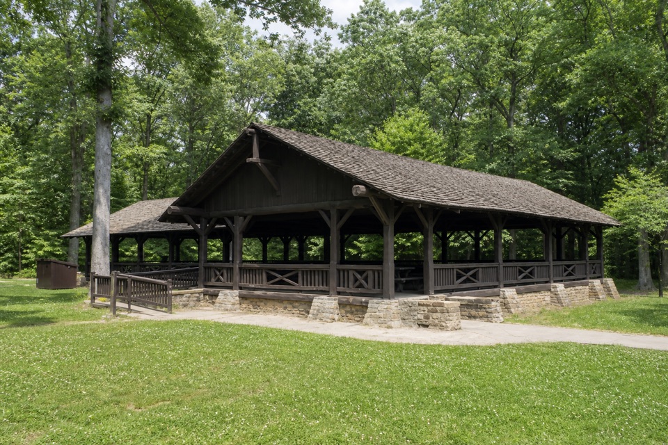 Harriet Keeler Memorial Picnic AreaA shaded picnic stop with a shelter, play area and trail access.
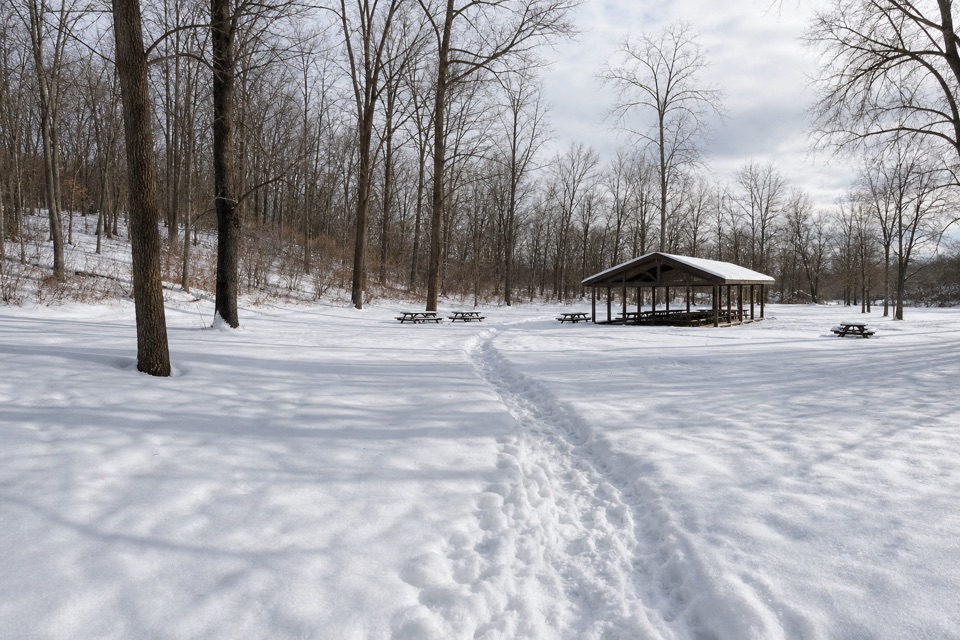 Hemlock Creek Picnic AreaShelter, grills and trails make this an easy picnic stop.
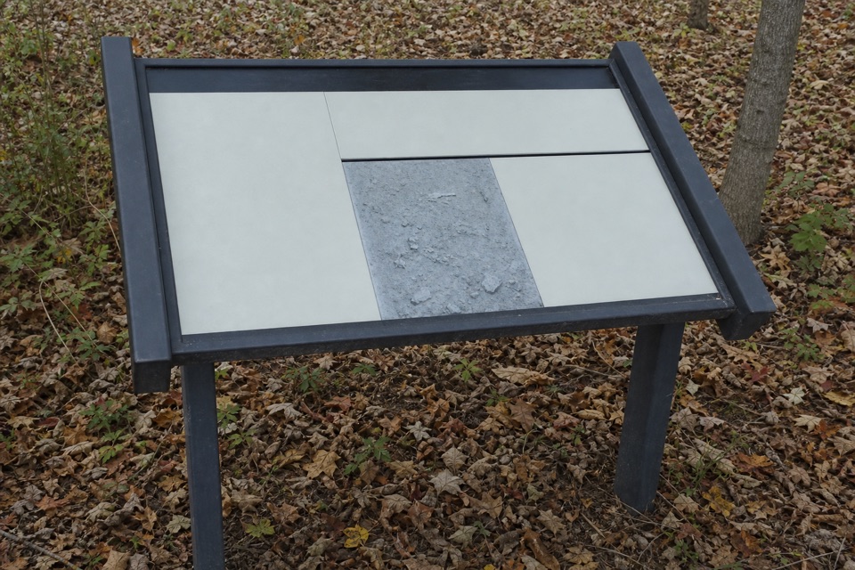 44Greenwood Village: Prehistoric EarthworkA wooded earthwork whose purpose may have been ceremonial.
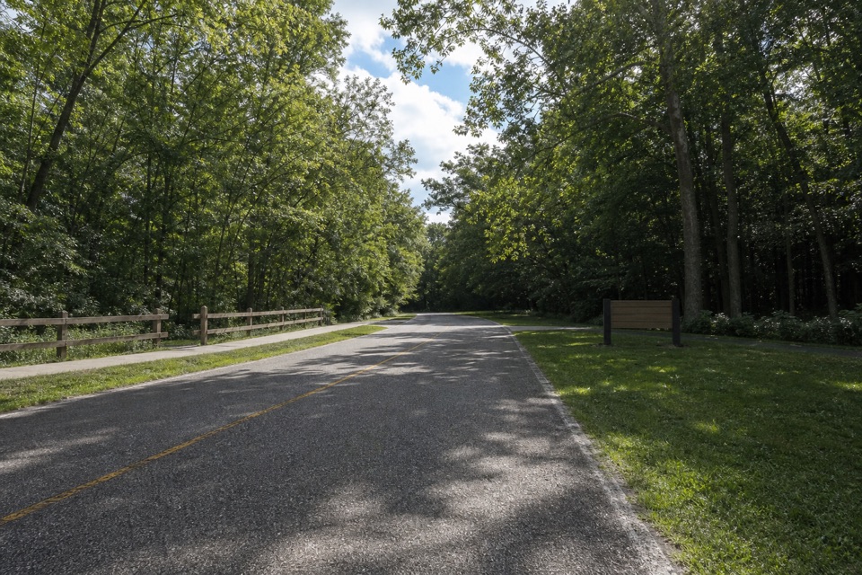 Lower Chippewa Creek Picnic AreaA shaded picnic stop beside the creek, close to nearby walks.
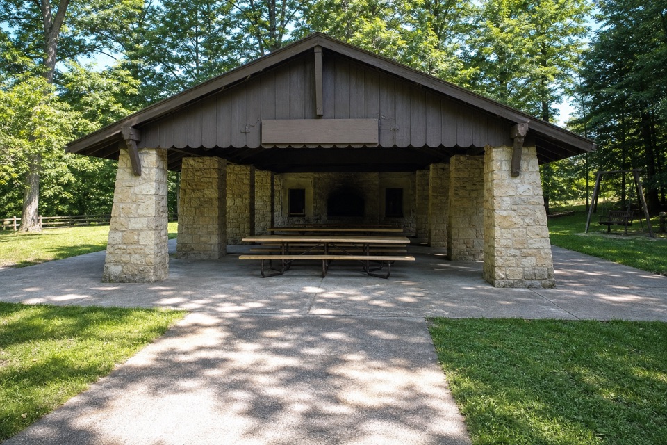 Hermit’s Hollow Picnic AreaA family picnic shelter with a wood-burning fireplace.
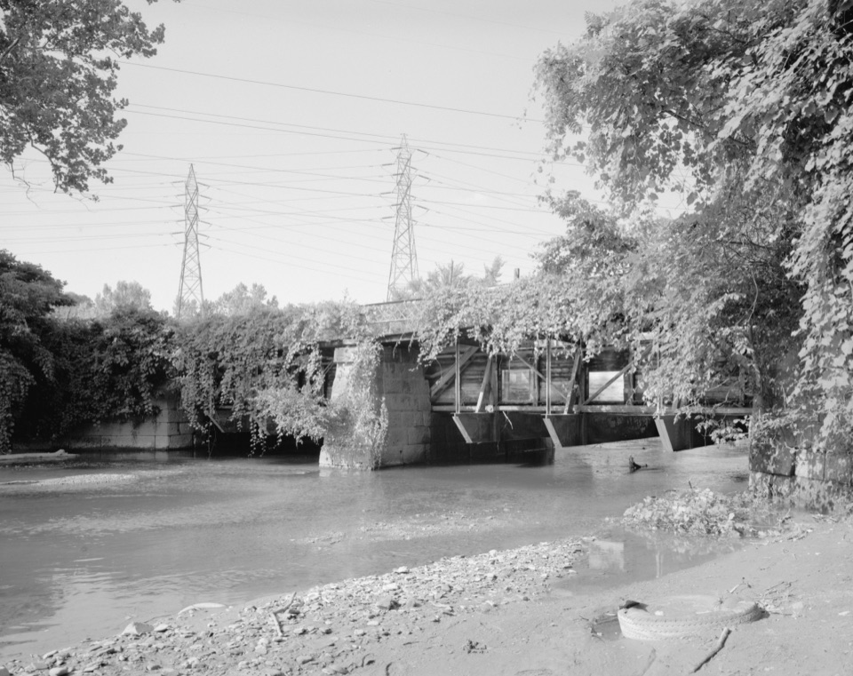 45Tinkers Creek AqueductThe canal's clever workaround for carrying boats over Tinkers Creek.
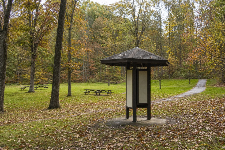 Plateau Picnic AreaA shaded picnic stop with trails close by.
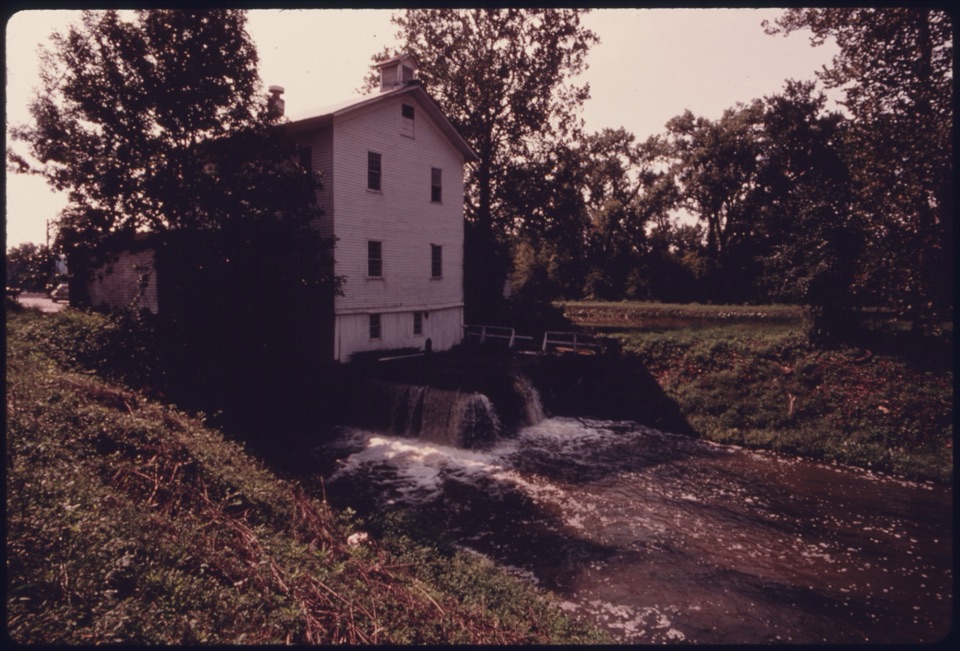 46Alexander-Wilson MillA historic canal mill, seen across the water from a Towpath stop.
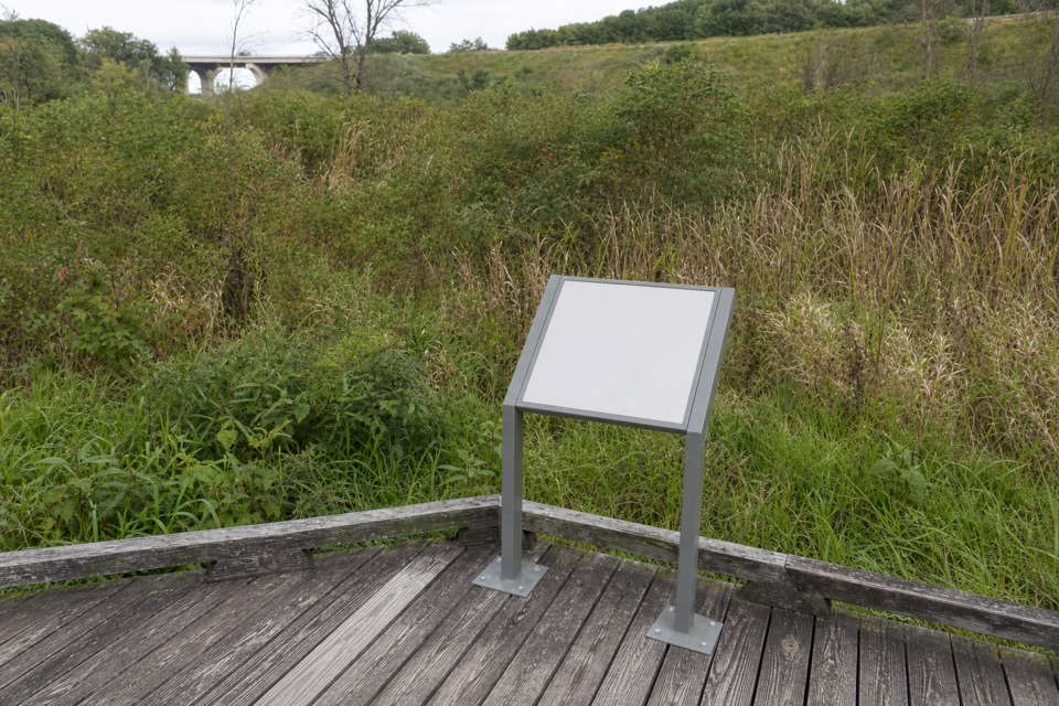 47Stumpy BasinBoardwalk views over the wetland where canal boats once turned.
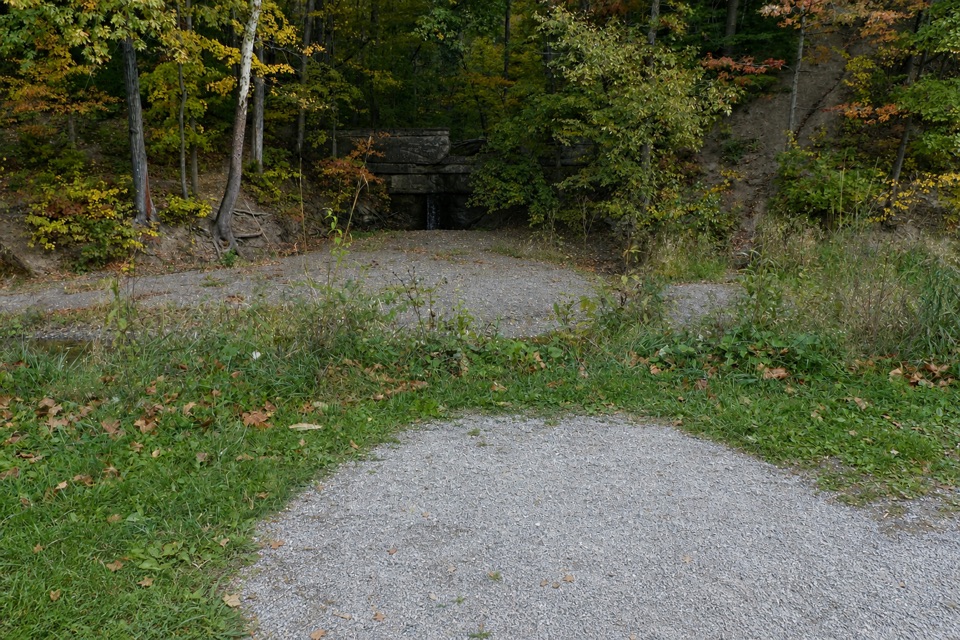 48Mudcatcher FallsA small canal-side cascade built to trap hillside sediment
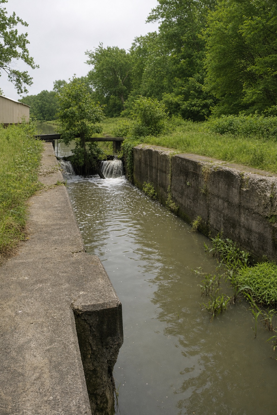 49Lock 37 and Flood GateSee how a canal lock and flood gate manage water.
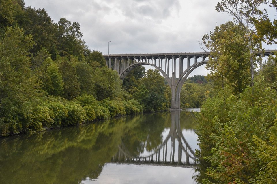 50Lock 36Lock remains reveal how canal engineers kept boats moving.
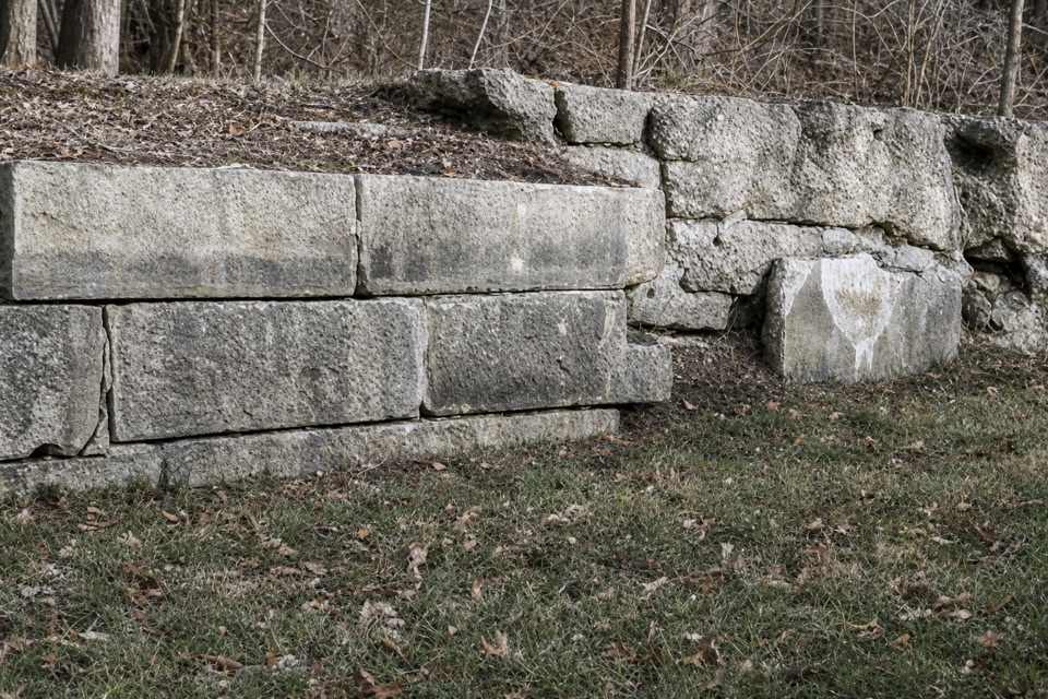 51Lock 35A canal lock with a family's account of the 1913 flood.
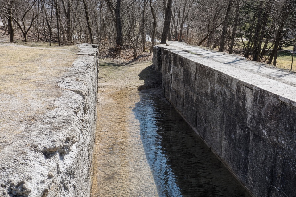 52Lock 32Where canal boats waited, and Boston grew around them.
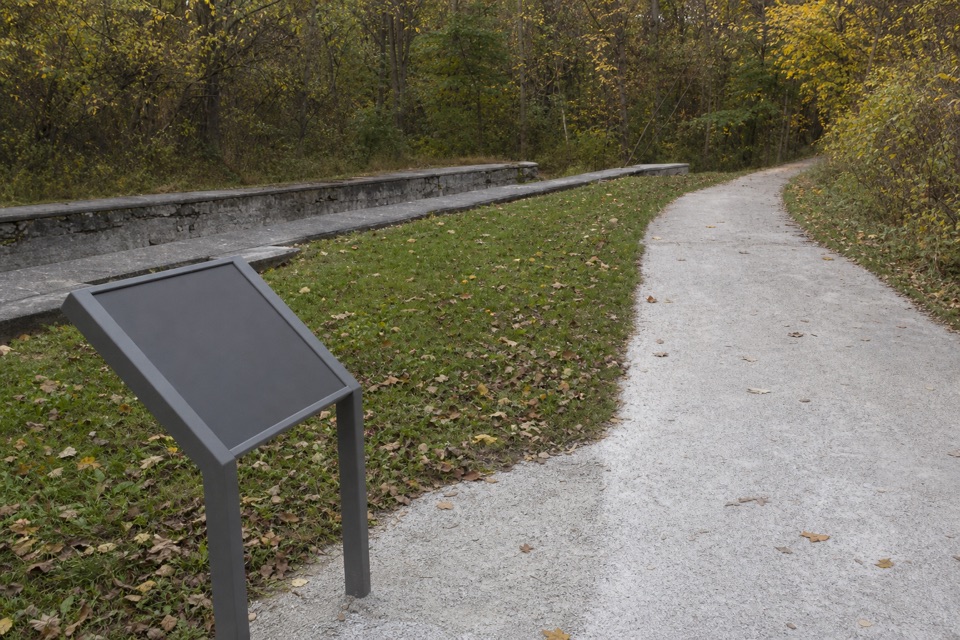 53Lock 31One stop in a 44-lock, 395-foot canal ascent.
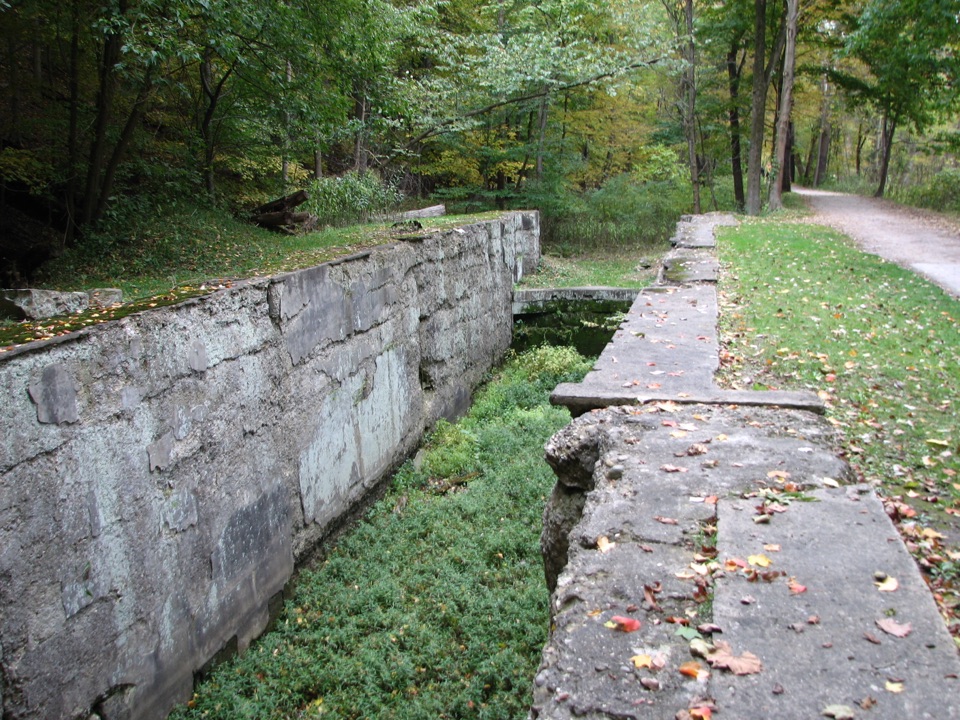 54Lock 30Boat jams, pole jousts and a stone lock beside the Towpath.
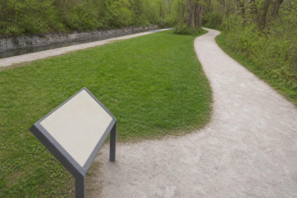 55Lock 26A modest canal lock with a surprisingly human dairy-era story.
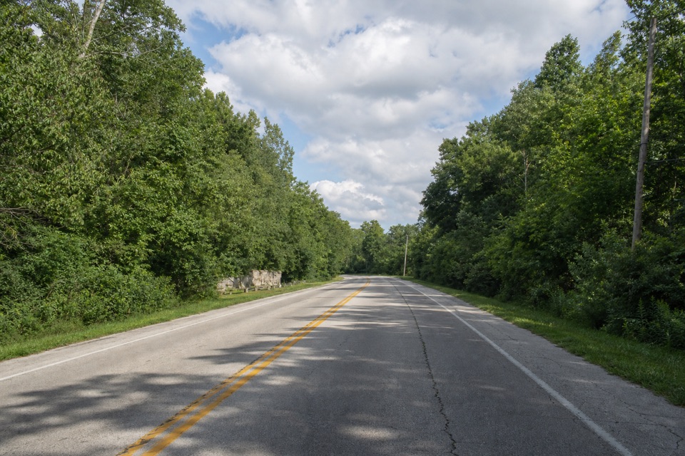 56Lock 25A crumbling wall makes this canal's working past tangible.
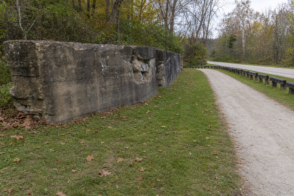 57Lock 24One surviving canal wall marks the vanished village of Botzum.
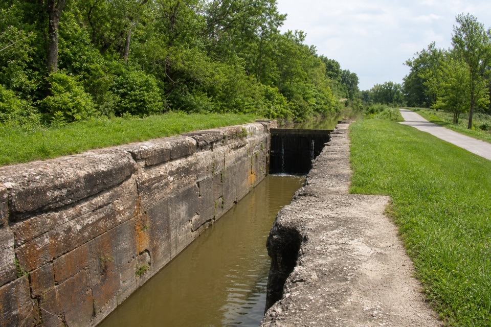 58Lock 39One chamber makes the canal’s boat-lifting system easy to picture.
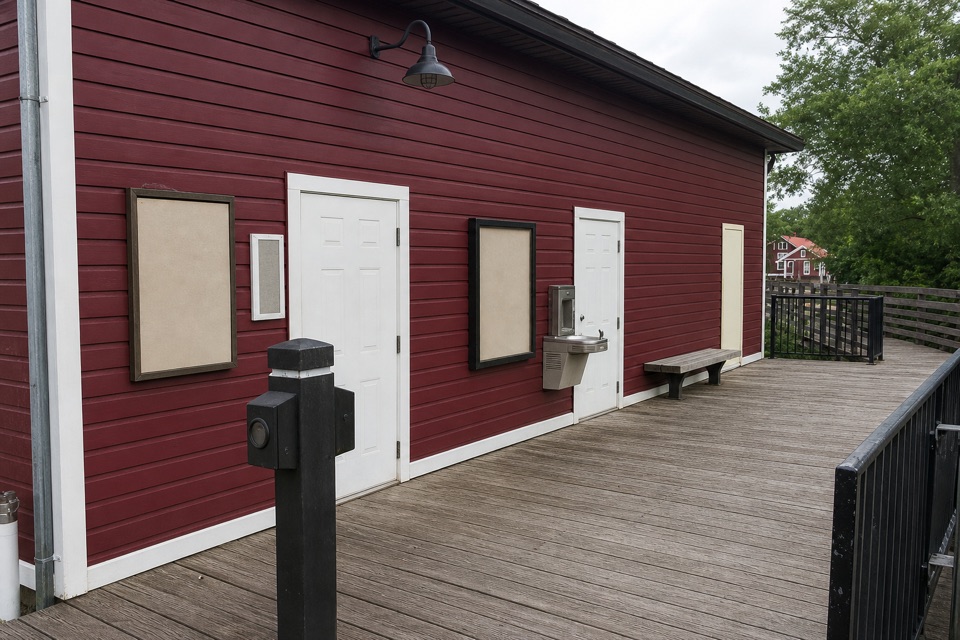 Peninsula Public RestroomsA practical trailhead stop with flush toilets and a railroad story.
The highest, rockiest slopes around here are a summer buffet for grizzly bears.
Cuyahoga Valley Tour Guide
Cuyahoga Valley, narrated.
Parkwolf is a GPS audio tour guide for Cuyahoga Valley National Park. As you drive, it chimes in with what’s ahead: hidden gems, upcoming stops, history, geology, and wildlife, right through your car’s speakers.
Recorded for this place
Brandywine Falls0:00 / 0:32
“You're coming up on Brandywine Falls, where a short boardwalk leads to a sixty-foot waterfall. Do this one even if you don't want a hike; about half an hour gives you time to enjoy the falls.”
Plays as you drive up to Brandywine Falls in the Parkwolf Cuyahoga Valley Tour Guide.
More stories near here in the app
- The Village Powered by the Falls
- A Flower That Makes Heat
- Stanford House and Stanford Trail
- A Grove That Could Be One Plant
- 97 audio storiesacross Cuyahoga Valley’s roads, triggered by GPS as you drive
- Wildlife heatmapsfor Bald Eagle, River Otter, Coyote, and 13 more
- Works offlinemaps, 63 trails, 88 places, and audio download before you lose signal
- CarPlay readysimple controls built for the drive
“Fantastic app with many points of information… It’s great to just turn on while you’re driving and it gives you an audio tour of the national Park. We love it!!!!”

