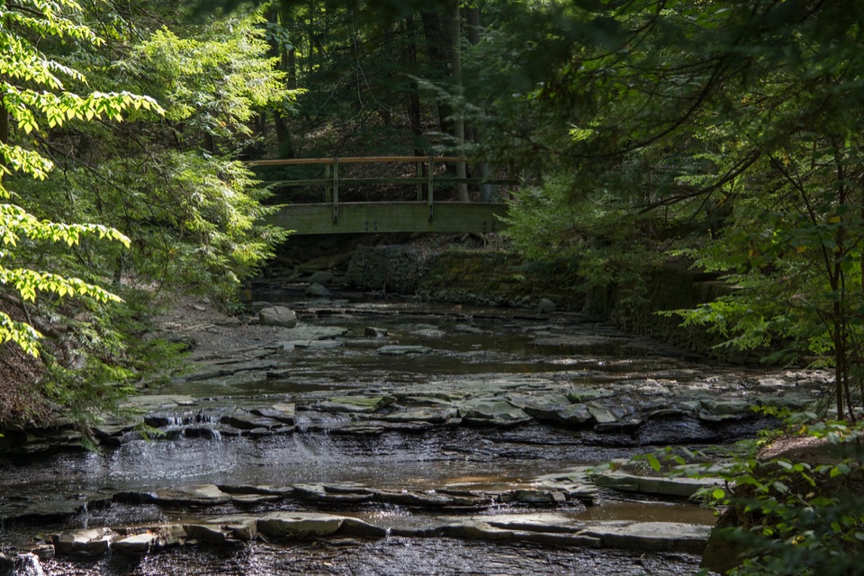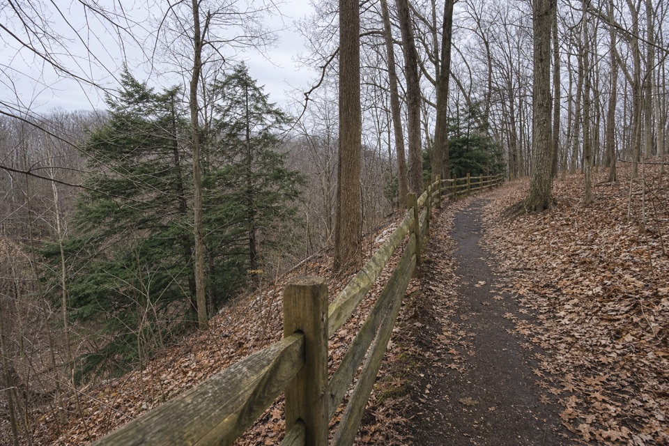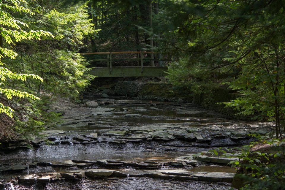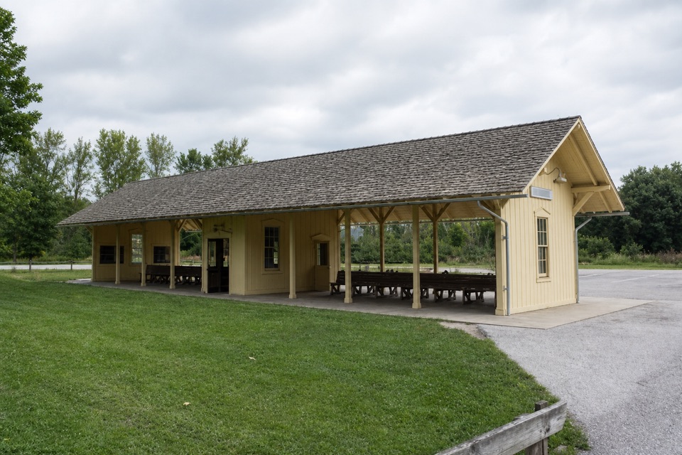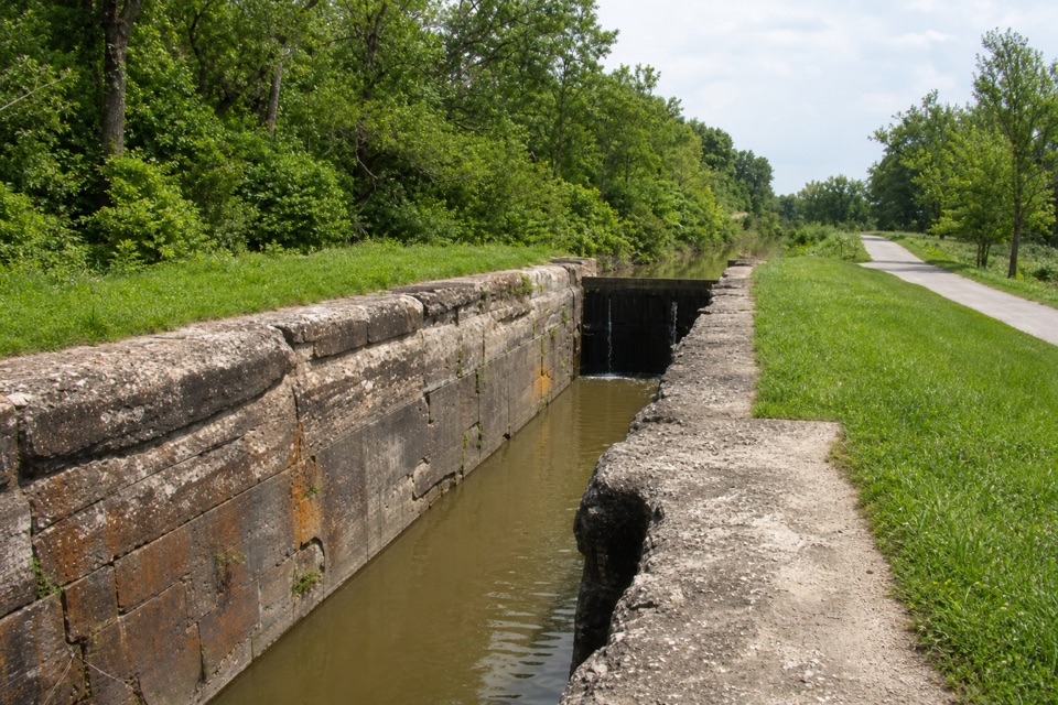
Lock 39 in Cuyahoga Valley National Park

Sight · Cuyahoga Valley National Park

Lock 39

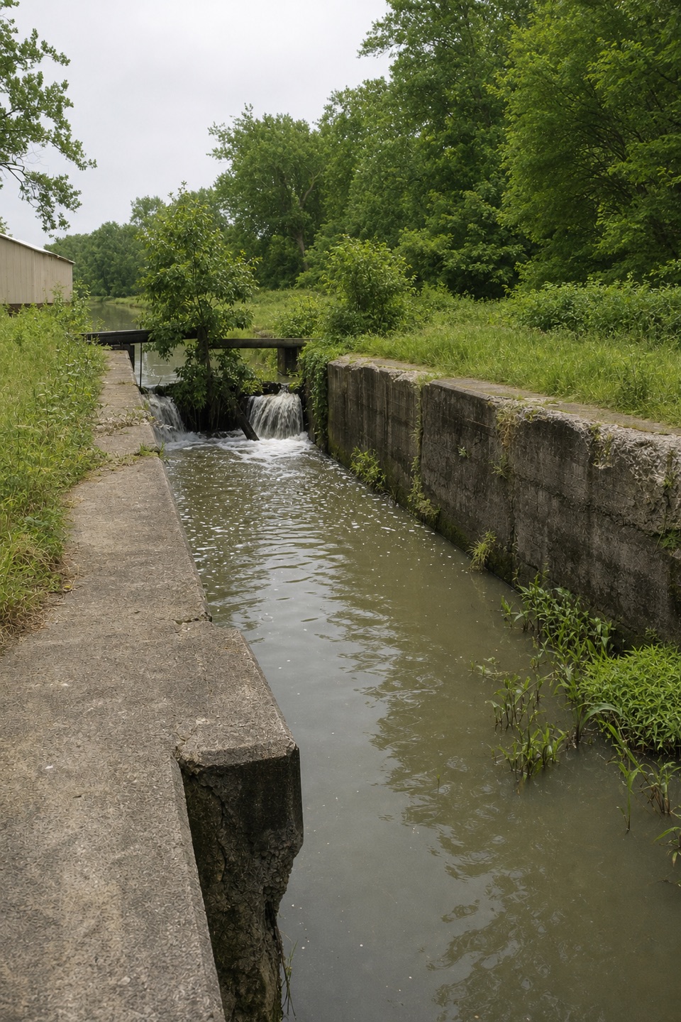
One chamber makes the canal’s boat-lifting system easy to picture.

Type
Sight
Nearest trail
0.1 mi
Audio stories
5 nearby
  • Parking
  • Trailhead
  • Exhibit

Hear the audio tour

Lock 39 and the Towpath

Overview

About Lock 39

Why stop

  • A tactile profile connects this chamber to the canal’s 44-lock route.

Map

Where it is

Loading the Cuyahoga Valley map
Full map
SightLock 3941.39169, -81.62735
Keep this map with you offline in the Parkwolf app

Plan your stop

Before you go

3 active Cuyahoga Valley alerts

  • CautionCuyahoga River paddling closure and hazardsMentions this placePaddlers must portage the current river-wide closure near river mile 17 and avoid serious river hazards. - The closure is due to bridge demolition and construction.Official details
  • ClosureTowpath Trail improvement closureThe Ohio & Erie Canal Towpath Trail from Boston Trailhead to Lock 29 in Peninsula is closed for improvements during the August 24–November 20, 2026 closure period.Official details

See all 3 alerts
A park ranger sits on a dash-mounted phone, talking, as Parkwolf’s Tour Guide plays “Army Cutworm Moths: A Grizzly Bear Buffet” on Grand Loop Road below Dunraven Pass in Yellowstone
Parkwolf Tour GuideThe highest, rockiest slopes around here are a summer buffet for grizzly bears.

Cuyahoga Valley Tour Guide

Your drive to Lock 39, narrated.

Parkwolf is a GPS audio tour guide for Cuyahoga Valley National Park. As you drive, it chimes in with what’s ahead: hidden gems, upcoming stops, history, geology, and wildlife, right through your car’s speakers.

Recorded for this place

Lock 39 and the Towpath
0:00 / 0:25
“You're nearing Lock Thirty-Nine Trailhead, a starting point for a level walk along the old canal.”

Plays as you drive up to Lock 39 in the Parkwolf Cuyahoga Valley Tour Guide.

More stories near here in the app

  • Rockside Station
  • Oxbow Orchard and Farm Market
  • Canal Exploration Center
  • How Ice Splits a Cliff
  • 97 audio storiesacross Cuyahoga Valley’s roads, triggered by GPS as you drive
  • Wildlife heatmapsfor Bald Eagle, River Otter, Coyote, and 13 more
  • Works offlinemaps, 63 trails, 88 places, and audio download before you lose signal
  • CarPlay readysimple controls built for the drive
★★★★★
“Fantastic app with many points of information… It’s great to just turn on while you’re driving and it gives you an audio tour of the national Park. We love it!!!!”
JMJamesApp Store review
Download Parkwolf on the App StoreGet Parkwolf on Google Play

4.7 from 8,600+ ratings

Guide

More about Lock 39

A modest stop with a bigger storyLock 39 is the northernmost Ohio & Erie Canal lock in Cuyahoga Valley National Park, beside the…

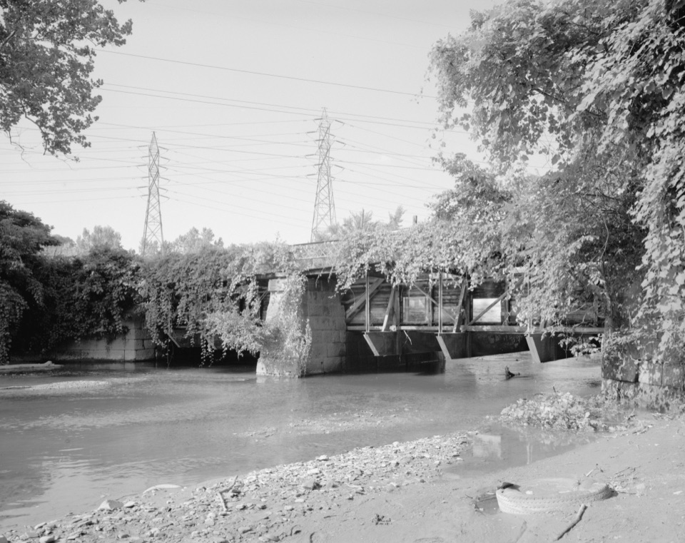
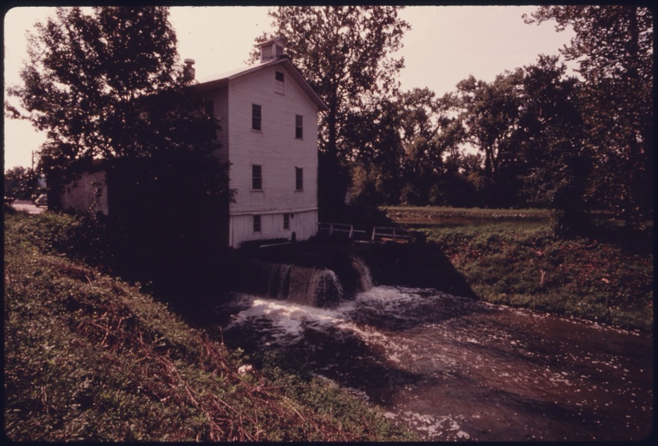
Lock 39 is the northernmost Ohio & Erie Canal lock in Cuyahoga Valley National Park, beside the Towpath. It is a canal remnant to notice along the route rather than a dramatic standalone ruin. Boats moved through a lock chamber as water was admitted or released to lift or lower them when the canal changed elevation.

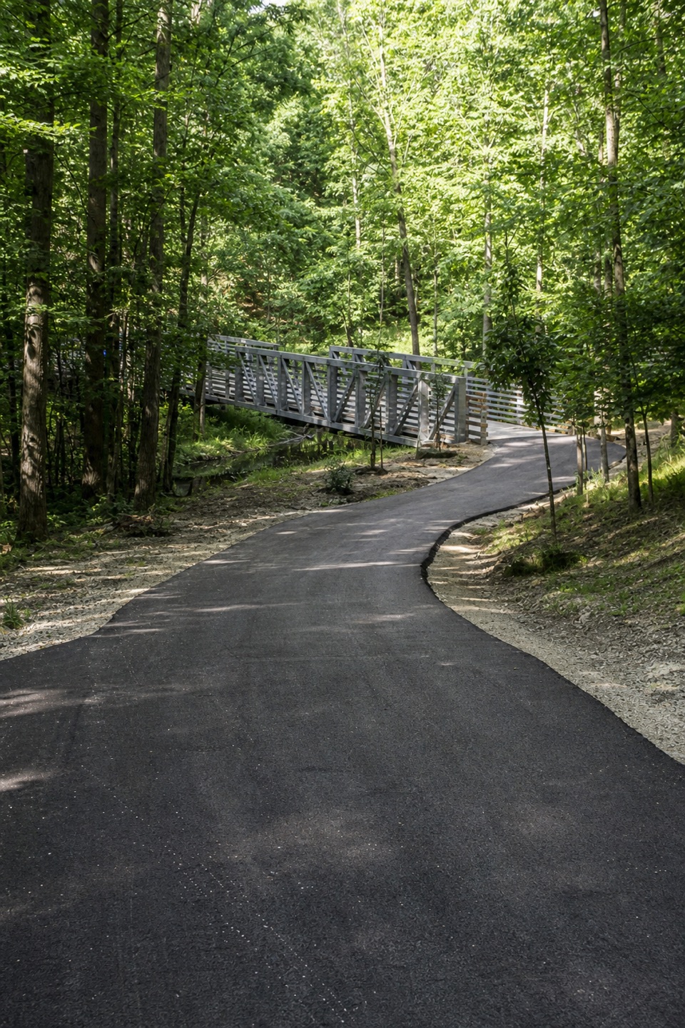
Reach it from the trailheadPark at Lock 39 Trailhead on Rockside Road, then walk south on the Towpath to reach the lock.

Park at Lock 39 Trailhead on Rockside Road, then walk south on the Towpath to reach the lock. The trailhead is the parking and access point; the lock itself is a separate stop along the route. The site is listed as wheelchair accessible and has audio-described interpretation, but directions do not give the route distance or surface, so check those details if they determine your visit.

How the canal workedThe Ohio & Erie Canal carried commercial traffic from 1827 to 1913.

The Ohio & Erie Canal carried commercial traffic from 1827 to 1913. Its high point near Portage Lakes sits 395 feet above Lake Erie, so locks acted as water elevators where the grade changed. Lock 39 began with sandstone construction and received a concrete facing in 1905–1906; that surface is now wearing away. An interpretive panel includes a tactile profile of the 44 locks between Akron and Cleveland.

Wildlife

Wildlife in Cuyahoga Valley

All Cuyahoga Valley wildlife maps

Sighting maps show where each species has been reported across Cuyahoga Valley. Wildlife moves, so no sighting is guaranteed.

Keep exploring

Near Lock 39

See it all on the map

Trails nearby

More stops nearby

Parkwolf’s Cuyahoga Valley ranking

Top sights in Cuyahoga Valley

All 88 places
  1. 1Brandywine FallsSight
  2. 2The LedgesSight
  3. 3Beaver MarshSight
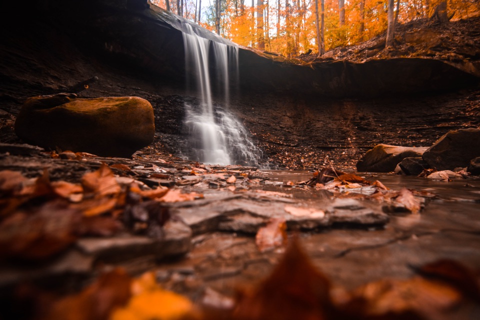
  4. 4Blue Hen FallsSight
  5. 5Hale Farm & VillageSight
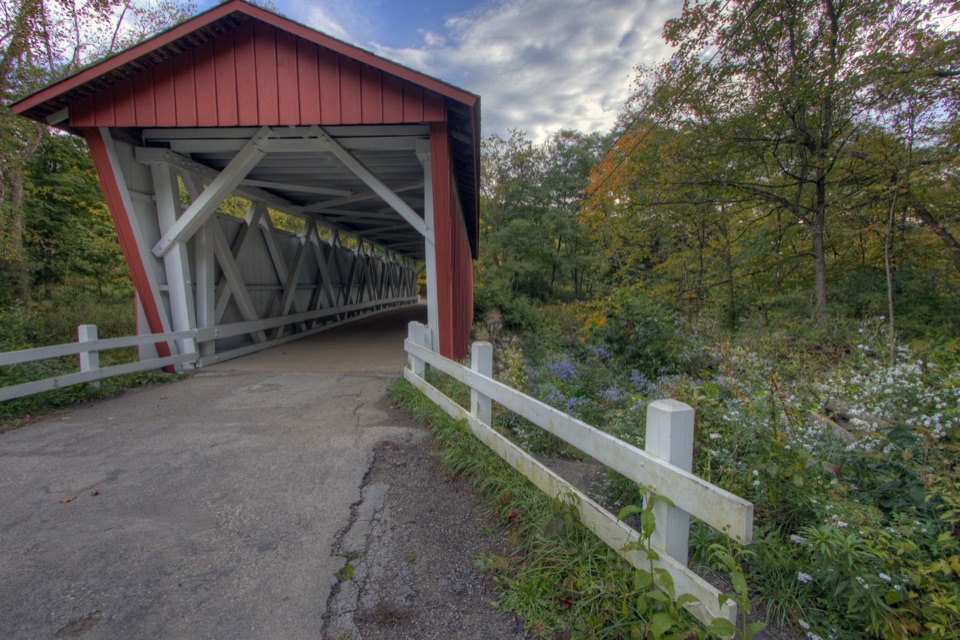
  6. 6Everett Covered BridgeSight

Take Parkwolf to Cuyahoga Valley.

The audio tour guide for the drive, plus offline maps, trails, and wildlife heatmaps for when the signal drops.

4.7 from 8,600+ ratings

Download Parkwolf on the App StoreGet Parkwolf on Google Play