1 active Cuyahoga Valley alert
- ClosureCuyahoga River closure and paddling hazardsMentions Cuyahoga River, referenced in this guideDo not paddle through the river-mile-17 closure or the woody-debris hazard upstream of Lock 39.Official details
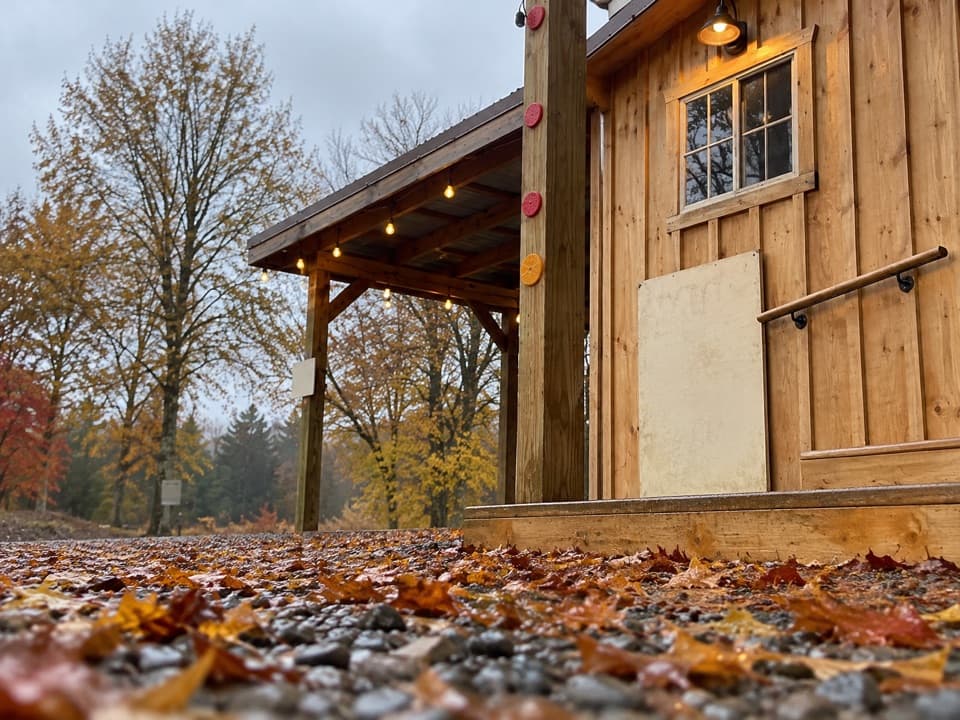
Store · Cuyahoga Valley National Park
A farm market for seasonal produce, flowers, and local food.
Overview
Map
Plan your stop

The highest, rockiest slopes around here are a summer buffet for grizzly bears.
Cuyahoga Valley Tour Guide
Parkwolf is a GPS audio tour guide for Cuyahoga Valley National Park. As you drive, it chimes in with what’s ahead: hidden gems, upcoming stops, history, geology, and wildlife, right through your car’s speakers.
See the Cuyahoga Valley audio tourRecorded for this place
Oxbow Orchard and Farm Market“Oxbow Orchard is coming up, also known as Oxbow Farm and Market. I'd use it for a short food stop: seasonal produce and farm goods share the shop with local products that can include bread, cheese, and preserves.”
Plays as you drive up to Oxbow Orchard in the Parkwolf Cuyahoga Valley Tour Guide.
More stories near here in the app
“Fantastic app with many points of information… It’s great to just turn on while you’re driving and it gives you an audio tour of the national Park. We love it!!!!”


Guide
Oxbow Orchard, also branded as Oxbow Farm & Market, is a small working farm and food market at 6765 Canal Road in Valley View. Its shop and seasonal farm products make it a useful short detour for local food, flowers, and a look at a working farm; it is not a major attraction that needs a long visit. Check the farm's current schedule before making a special trip.
The farm grows fruit, vegetables, seedlings and flowers, and cut-your-own blooms are a seasonal draw. Its lamb, poultry, eggs and wool products share space with goods from area producers. The changing selection can include bread, cheese, meat, preserves, drinks, snacks and handmade items, so treat it as a farm market rather than a fixed menu or a guarantee of any particular crop.
Beth and Kyla Werlin began the farm in 2016 under a 60-year lease of roughly 16 acres through the park's Countryside Initiative. The name refers to a nearby oxbow curve in the Cuyahoga River. They use crop variety, compost and mulch, and rotating grazing animals as part of a watershed-minded approach; the farm raises Icelandic sheep, chickens, ducks and turkeys.
A picnic area with tables and a fire pit gives you a place to pause after shopping. The farm also schedules occasional workshops and community events; check its calendar if an event is the reason for your visit.
Wildlife
 321 sightingsBald EagleMost seen around 7 AMSighting map
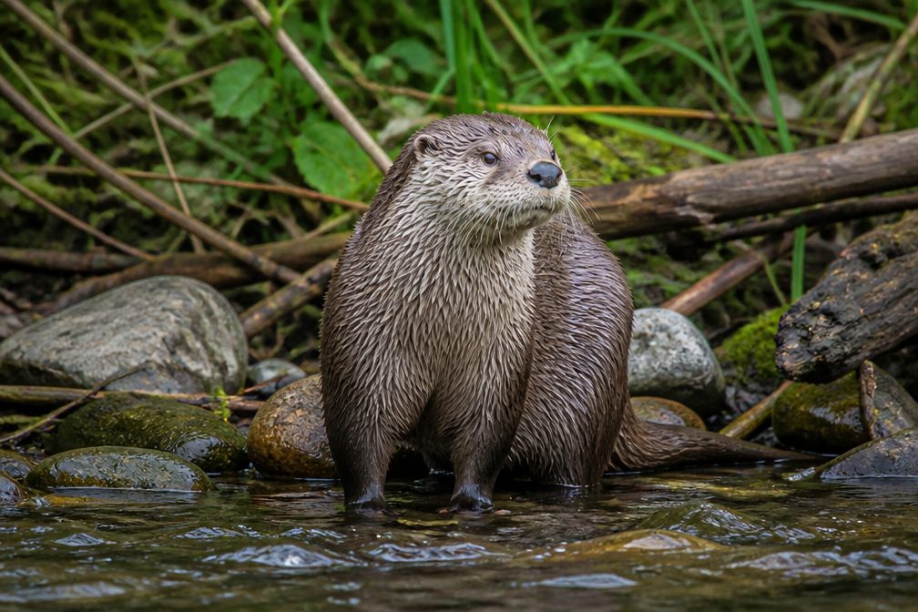 12 sightingsRiver OtterMost seen around 7 AMSighting map
 103 sightingsCoyoteMost seen around 7 PMSighting map
 251 sightingsBeaverMost seen around 8 PMSighting map
 498 sightingsWhite-tailed DeerMost seen around 6 AMSighting map
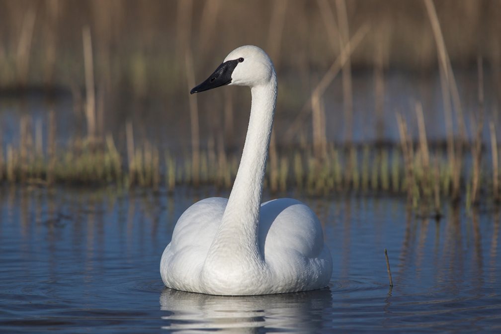 104 sightingsTrumpeter SwanMost seen around 5 PMSighting map
Sighting maps show where each species has been reported across Cuyahoga Valley. Wildlife moves, so no sighting is guaranteed.
Keep exploring
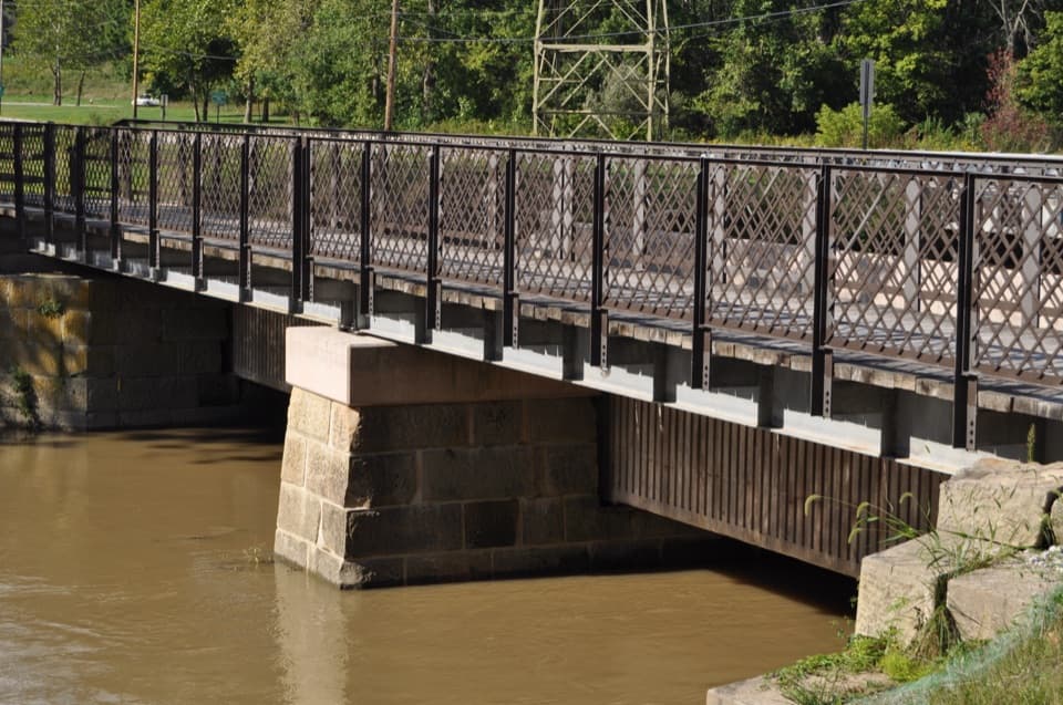 EasyCanal Exploration Center to Tinkers Creek Aqueduct Walk1.3 mi · 45 min · 0.6 mi awayA short canal walk past Lock 38 to Tinkers Creek Aqueduct.
 ModerateOhio & Erie Canal Towpath Trail19.8 mi · 9 hr · 1.2 mi awayA long, level canal walk through locks, marshes, and river bends.
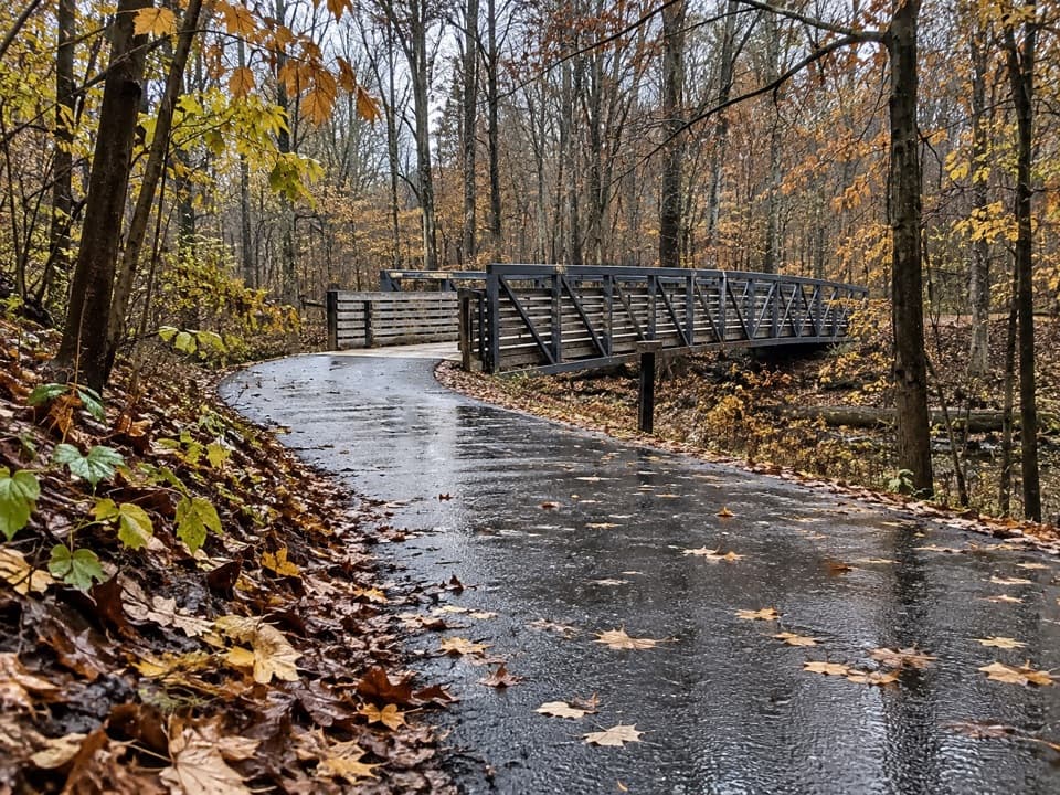 EasyHemlock Creek Trail1.7 mi · 48 min · 1.5 mi awayA paved creekside walk crosses the river to the Towpath.
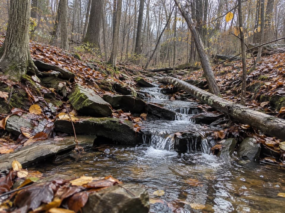 ModerateSagamore Creek Loop3.6 mi · 2 hr · 2.8 mi awayTwo seasonal falls reward a steep walk through the gorge.
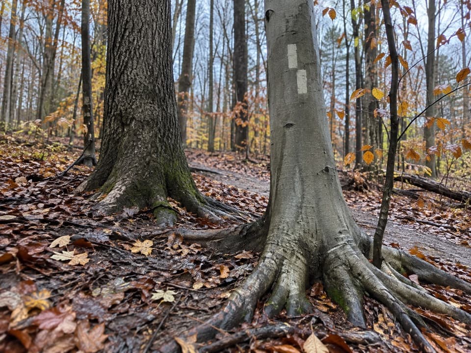 ModerateBedford Singletrack Loop11.5 mi · 5.5 hr · 2.9 mi awayA long forest circuit linked by one-way singletrack and paved paths.
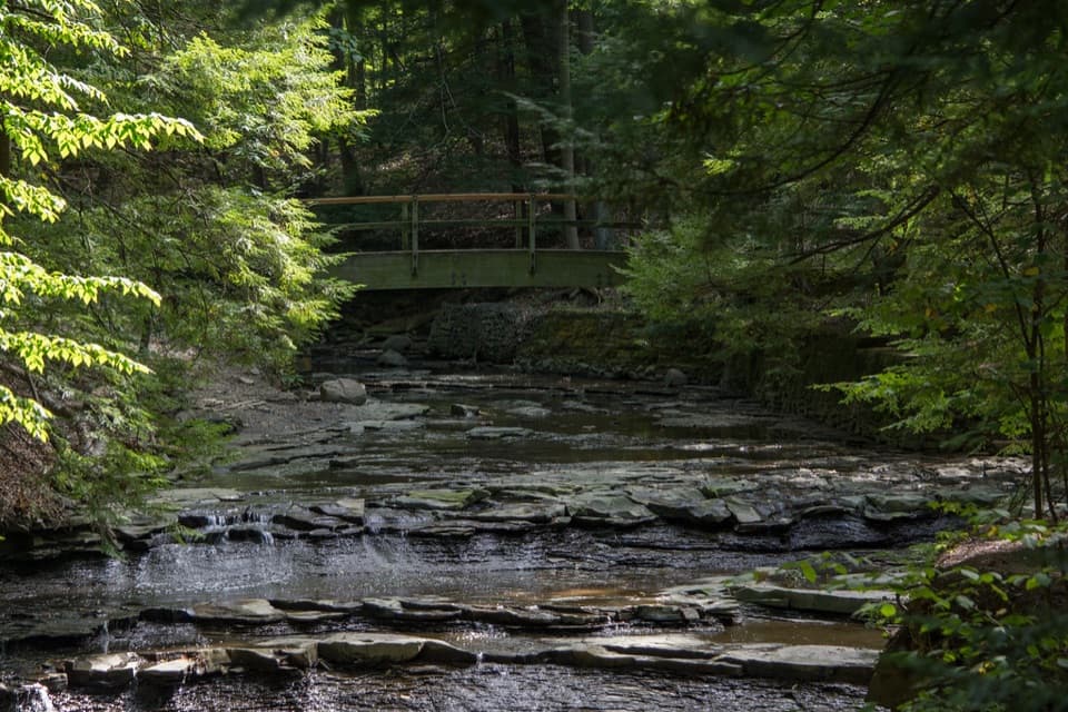 EasyBridal Veil Falls Walk0.3 mi · 18 min · 3.3 mi awayA short stairway walk to a low cascade in a wooded gorge.
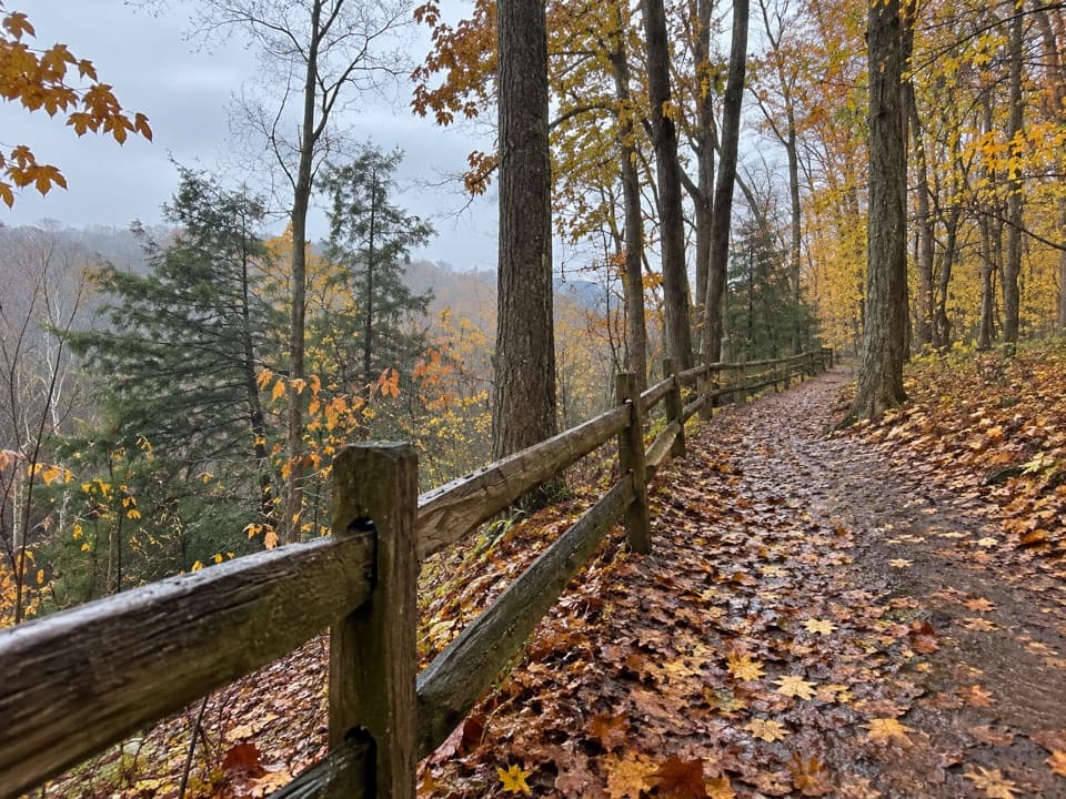 EasyEgbert Loop Trail0.3 mi · 15 min · 3.8 mi awayA short wooded path above the gorge, best walked out and back.
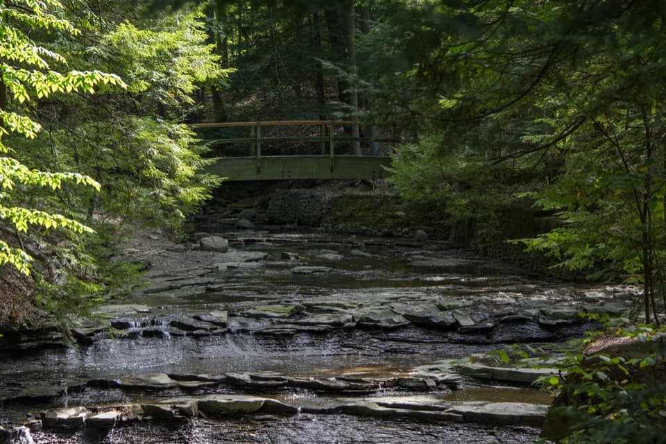 ModerateTinker's Creek Gorge Trail5.5 mi · 3 hr · 3.8 mi awayA wooded out-and-back that ends at falls and a gorge overlook.
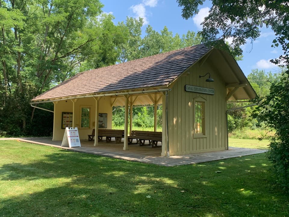 Sight · 0.6 mi awayCanal Exploration Center StationA compact rail stop links canal exhibits to the Towpath Trail.
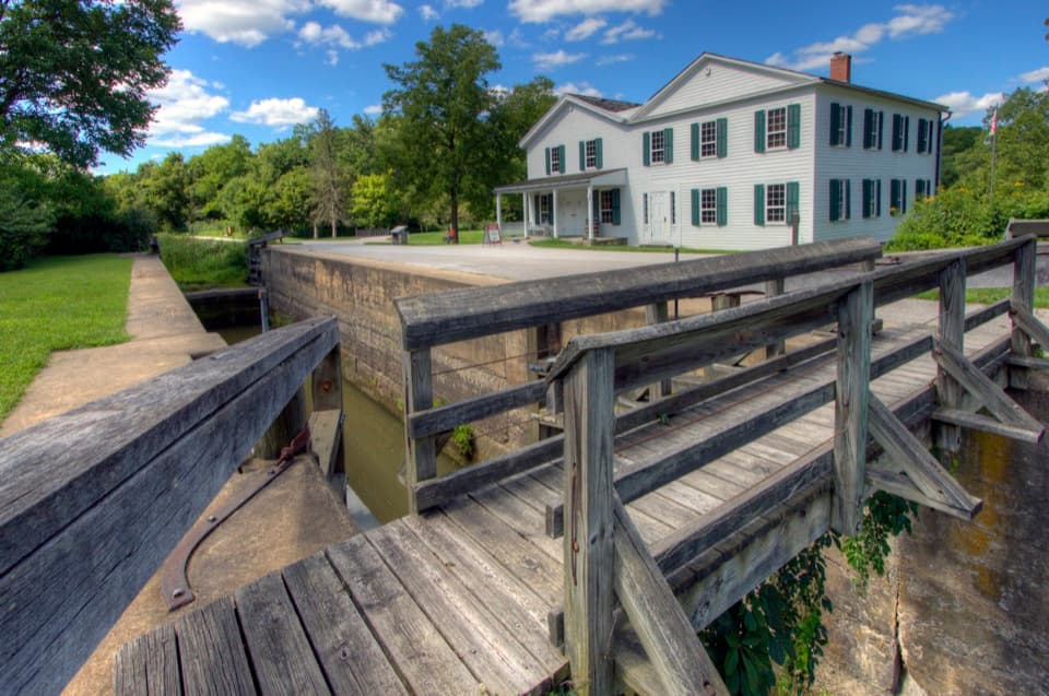 Visitor center · 0.6 mi awayCanal Exploration CenterHands-on canal history beside Lock 38 and the Towpath.
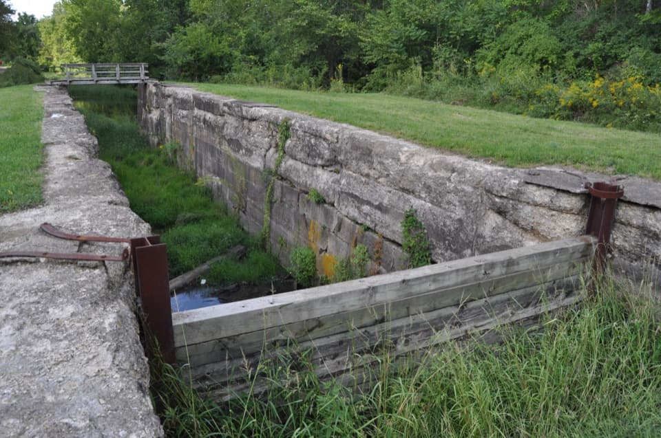 Sight · 1.1 mi awayLock 39One chamber makes the canal’s boat-lifting system easy to picture.
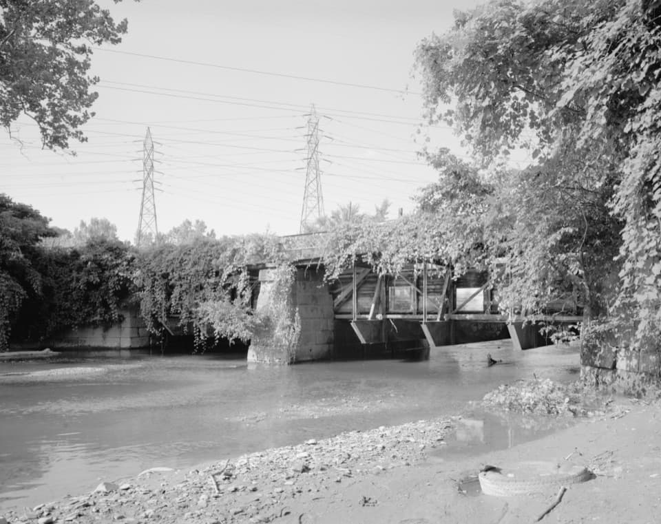 Sight · 1.1 mi awayTinkers Creek AqueductThe canal's clever workaround for carrying boats over Tinkers Creek.
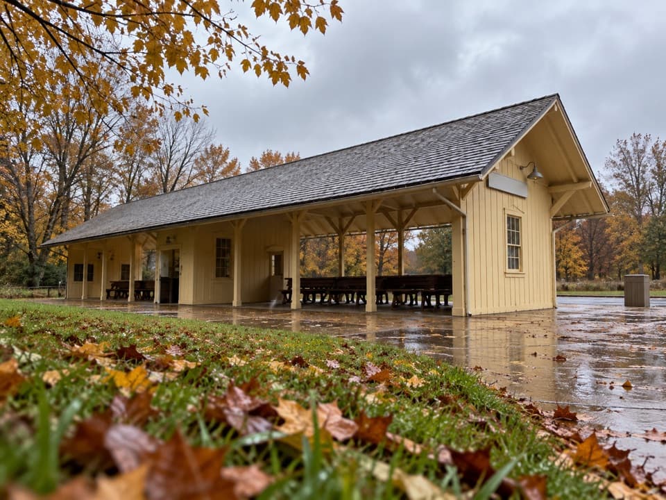 Sight · 1.3 mi awayRockside StationBoard the Scenic Railroad at its Cleveland-area starting point.
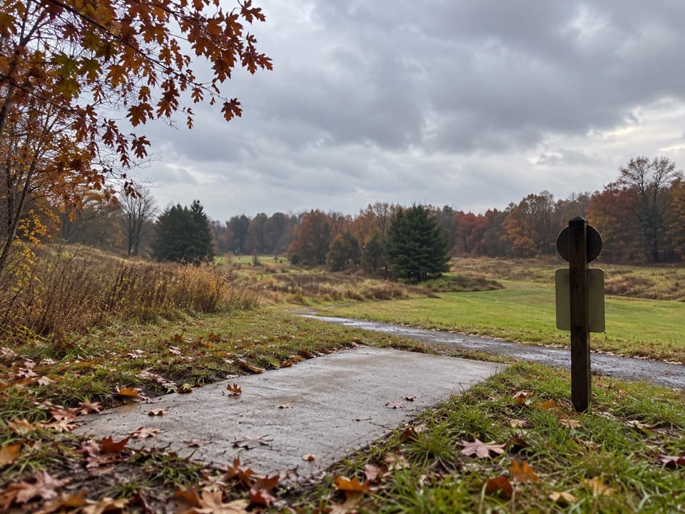 Sight · 1.7 mi awayAstorhurst Disc Golf CourseA long, hilly 18-hole round over a former golf course.
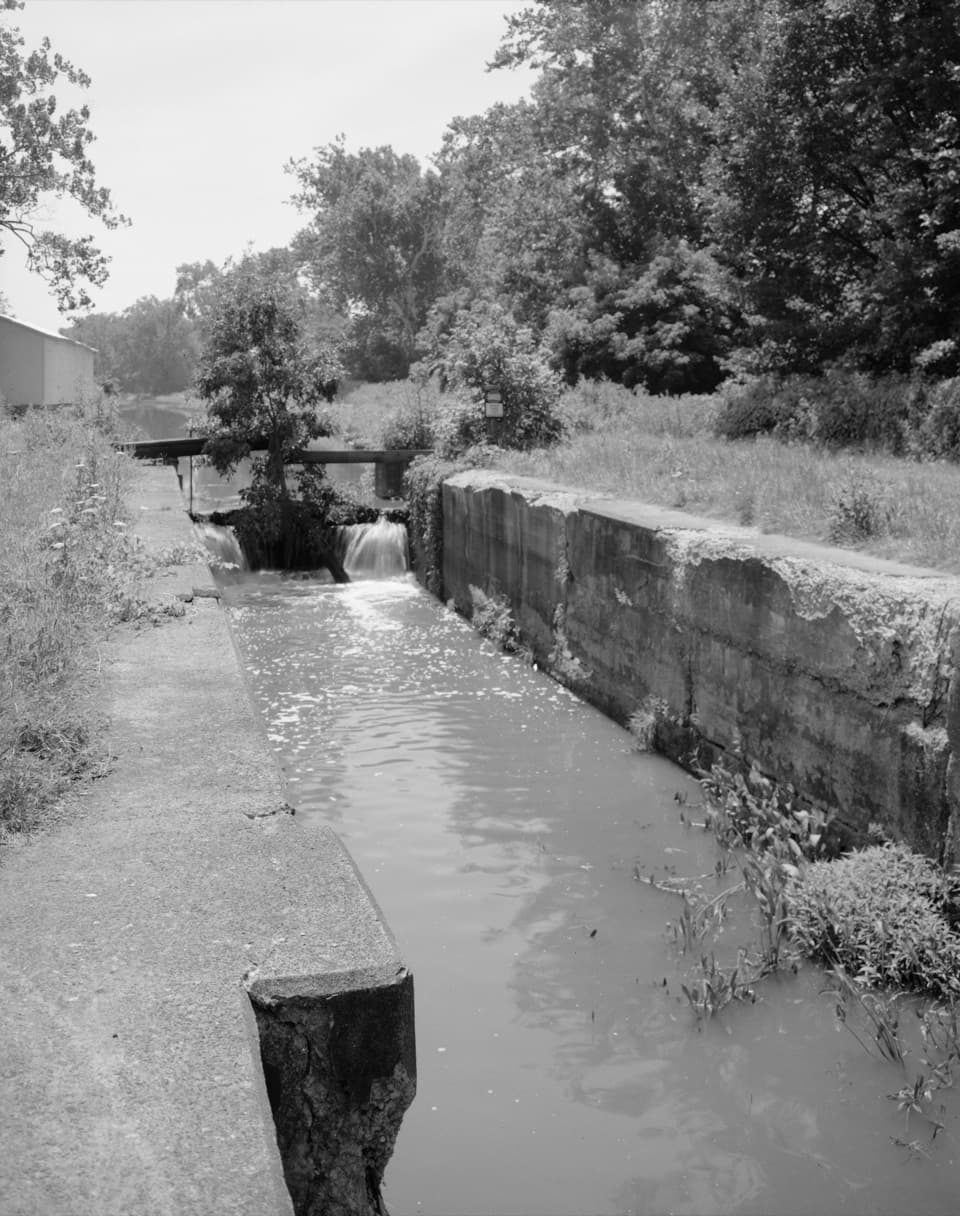 Sight · 1.9 mi awayLock 37 and Flood GateSee how a canal lock and flood gate manage water.
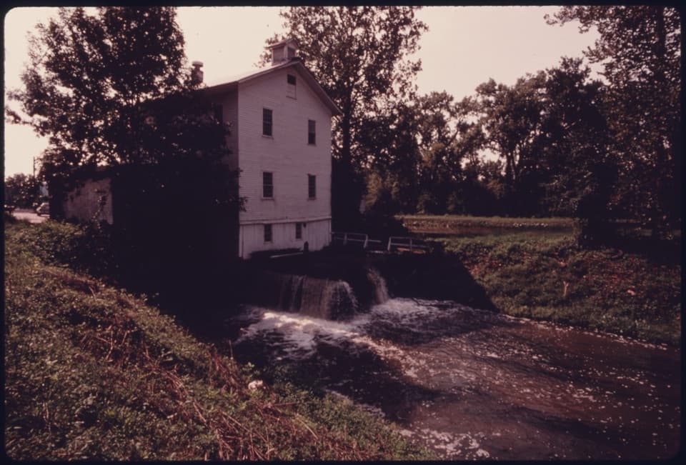 Sight · 1.9 mi awayAlexander-Wilson MillA historic canal mill, seen across the water from a Towpath stop.
Parkwolf’s Cuyahoga Valley ranking

The audio tour guide for the drive, plus offline maps, trails, and wildlife heatmaps for when the signal drops.