1 active Cuyahoga Valley alert
- ClosureCuyahoga River closure and paddling hazardsDo not paddle through the river-mile-17 closure or the woody-debris hazard upstream of Lock 39.Official details
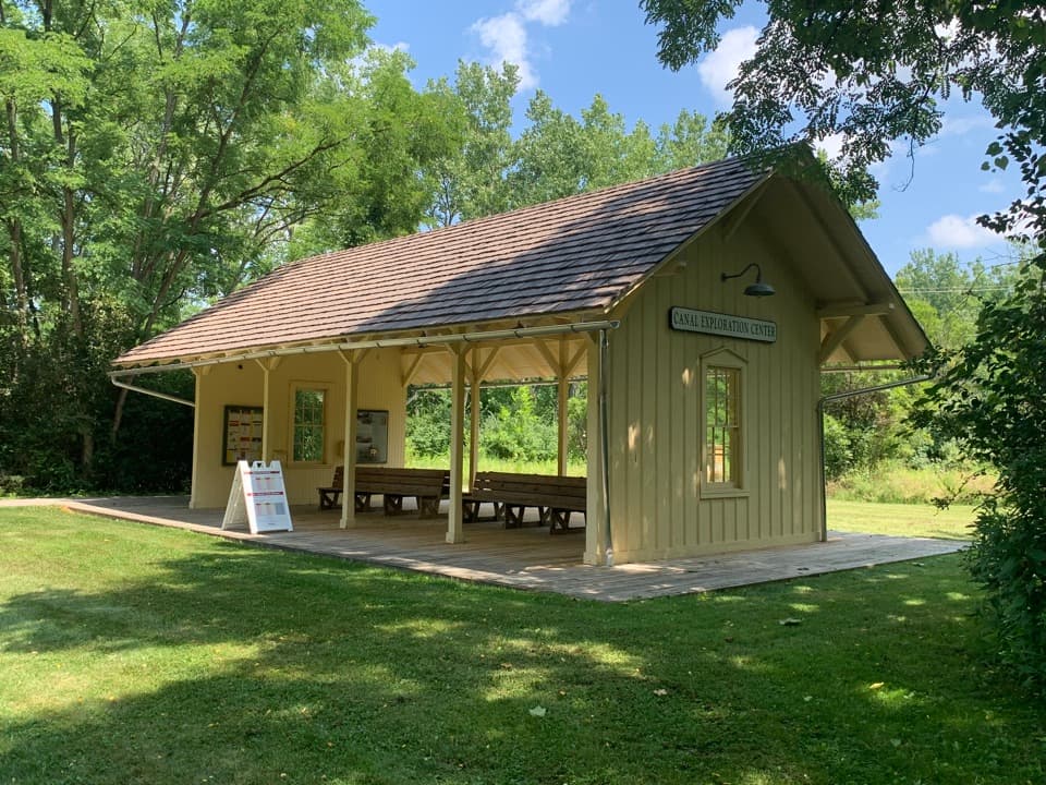
Sight · Cuyahoga Valley National Park
A compact rail stop links canal exhibits to the Towpath Trail.
Photo: Cards84664, CC BY-SA 4.0, via Wikimedia Commons
Overview
Map
Plan your stop

The highest, rockiest slopes around here are a summer buffet for grizzly bears.
Cuyahoga Valley Tour Guide
Parkwolf is a GPS audio tour guide for Cuyahoga Valley National Park. As you drive, it chimes in with what’s ahead: hidden gems, upcoming stops, history, geology, and wildlife, right through your car’s speakers.
See the Cuyahoga Valley audio tourRecorded for this place
Canal Exploration Center“You're approaching Canal Exploration Center, where a former tavern and store puts you inside the canal's everyday world. Give the exhibits about half an hour if you're curious about the people who worked here.”
Plays as you drive up to Canal Exploration Center Station in the Parkwolf Cuyahoga Valley Tour Guide.
More stories near here in the app
“Fantastic app with many points of information… It’s great to just turn on while you’re driving and it gives you an audio tour of the national Park. We love it!!!!”


Guide
Canal Exploration Center Station is a small wooden platform on the Cuyahoga Valley Scenic Railroad near the park’s north end. A paved path heads east to the separate Canal Exploration Center and the Towpath Trail. It makes more sense as part of a train ride or a longer canal visit than as a stand-alone sight. The railroad lists it as a train stop, but its main boarding stations and permitted hop-offs vary by station and excursion; check your specific schedule and ticket terms before planning to board or step off here.
The shelter echoes the small depots that once served Valley Railway hamlets, but this one was built in the early 2000s. Valley Railway service began in 1880. The canal and railroad each had a different role: canal boats carried farm goods such as flour and grain, while trains moved passengers and heavy freight such as coal and stone toward Cleveland. The station’s interpretation connects those two transportation systems; the separate Canal Exploration Center has more exhibits about the canal.
The short paved connection leads from the platform to the Canal Exploration Center building and Towpath Trail. The station area has interpretive exhibits and a bike rack, with an accessible restroom in the nearby center and trailhead area rather than inside the platform shelter.
Wildlife
 321 sightingsBald EagleMost seen around 7 AMSighting map
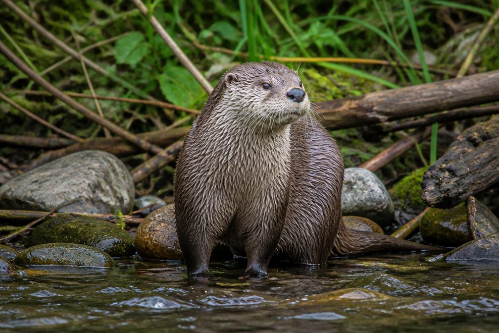 12 sightingsRiver OtterMost seen around 7 AMSighting map
 103 sightingsCoyoteMost seen around 7 PMSighting map
 251 sightingsBeaverMost seen around 8 PMSighting map
 498 sightingsWhite-tailed DeerMost seen around 6 AMSighting map
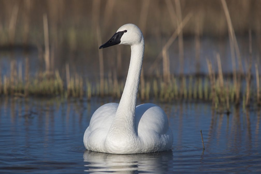 104 sightingsTrumpeter SwanMost seen around 5 PMSighting map
Sighting maps show where each species has been reported across Cuyahoga Valley. Wildlife moves, so no sighting is guaranteed.
Keep exploring
 EasyCanal Exploration Center to Tinkers Creek Aqueduct Walk1.3 mi · 45 min · 0.2 mi awayA short canal walk past Lock 38 to Tinkers Creek Aqueduct.
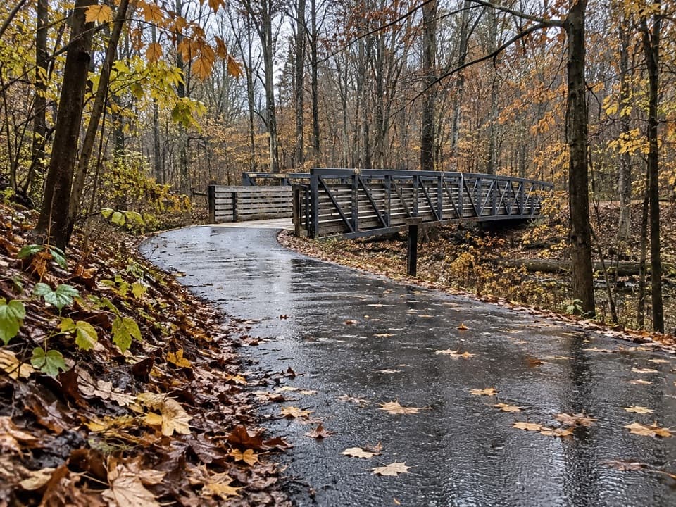 EasyHemlock Creek Trail1.7 mi · 48 min · 1.3 mi awayA paved creekside walk crosses the river to the Towpath.
 ModerateOhio & Erie Canal Towpath Trail19.8 mi · 9 hr · 1.5 mi awayA long, level canal walk through locks, marshes, and river bends.
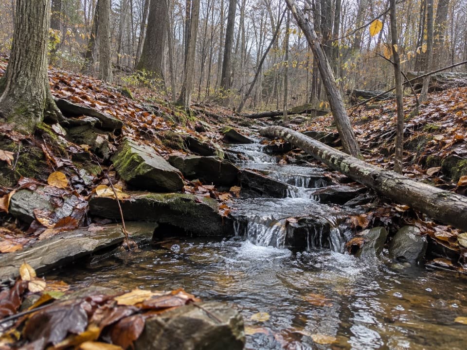 ModerateSagamore Creek Loop3.6 mi · 2 hr · 2.7 mi awayTwo seasonal falls reward a steep walk through the gorge.
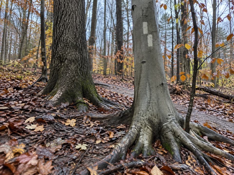 ModerateBedford Singletrack Loop11.5 mi · 5.5 hr · 2.9 mi awayA long forest circuit linked by one-way singletrack and paved paths.
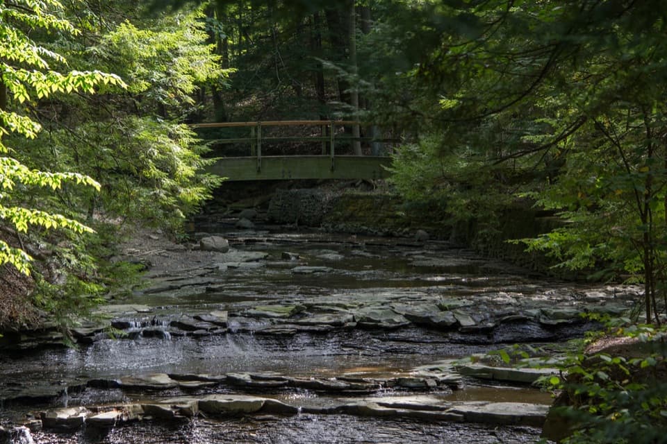 EasyBridal Veil Falls Walk0.3 mi · 18 min · 3.5 mi awayA short stairway walk to a low cascade in a wooded gorge.
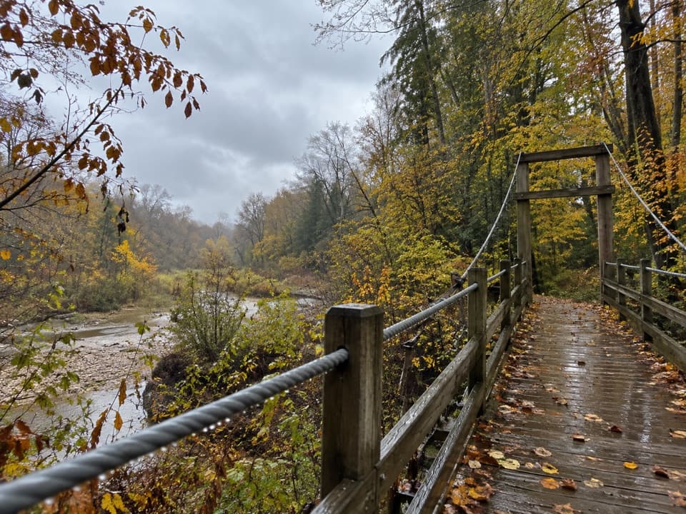 ModerateHemlock Trail2.8 mi · 1.3 hr · 3.7 mi awayA shady creek walk with two footbridges and spring pools.
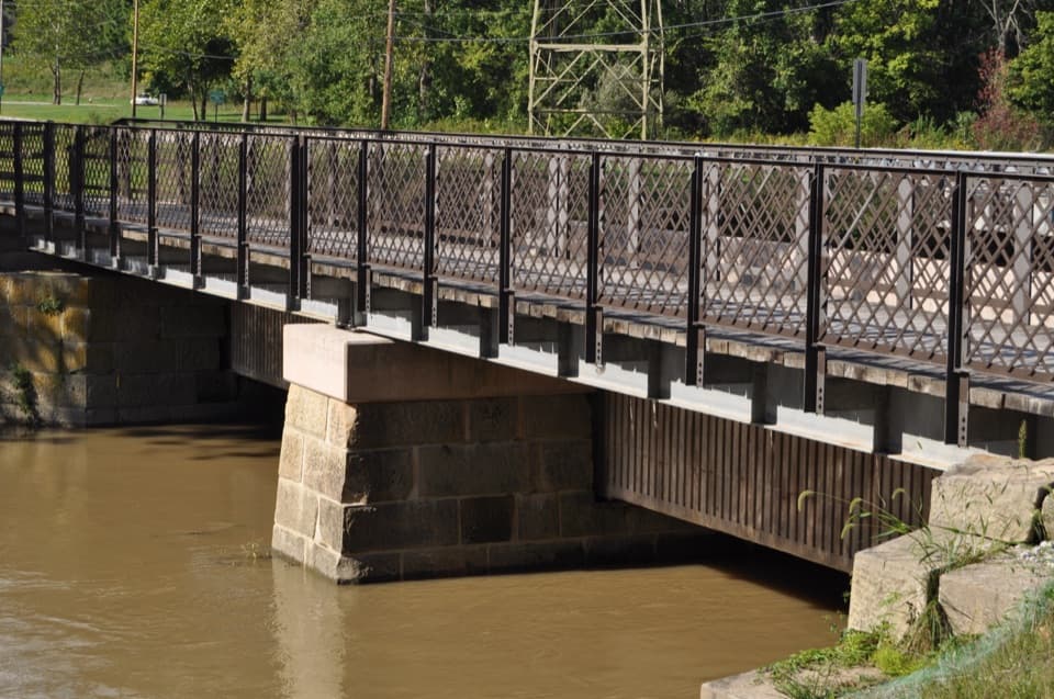
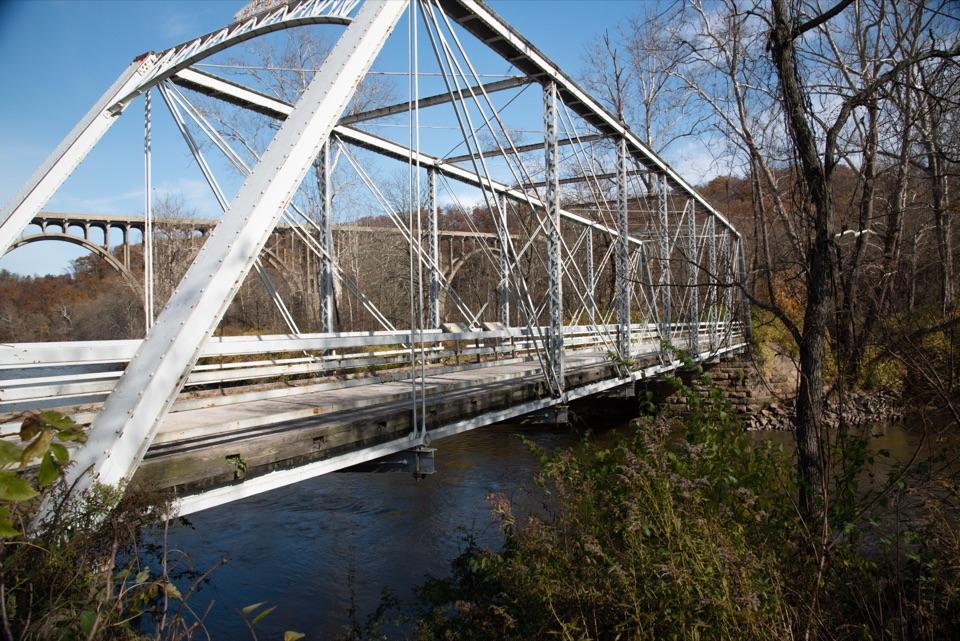 EasyBrecksville All Purpose Trail: Gorge to Station Road Bridge4.1 mi · 1.8 hr · 3.7 mi awayA paved creekside walk ends at a memorable river bridge.
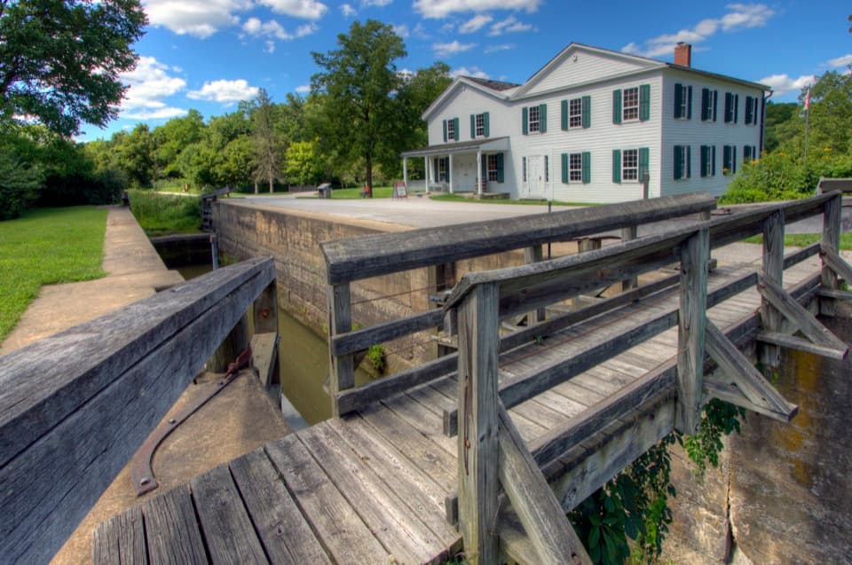 Visitor center · 0.2 mi awayCanal Exploration CenterHands-on canal history beside Lock 38 and the Towpath.
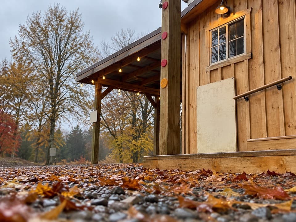 Store · 0.6 mi awayOxbow OrchardA farm market for seasonal produce, flowers, and local food.
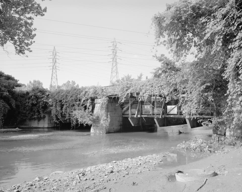 Sight · 0.7 mi awayTinkers Creek AqueductThe canal's clever workaround for carrying boats over Tinkers Creek.
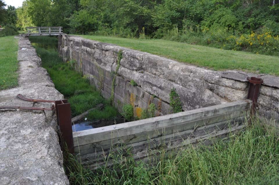 Sight · 1.4 mi awayLock 39One chamber makes the canal’s boat-lifting system easy to picture.
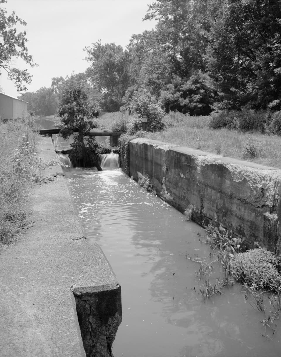 Sight · 1.5 mi awayLock 37 and Flood GateSee how a canal lock and flood gate manage water.
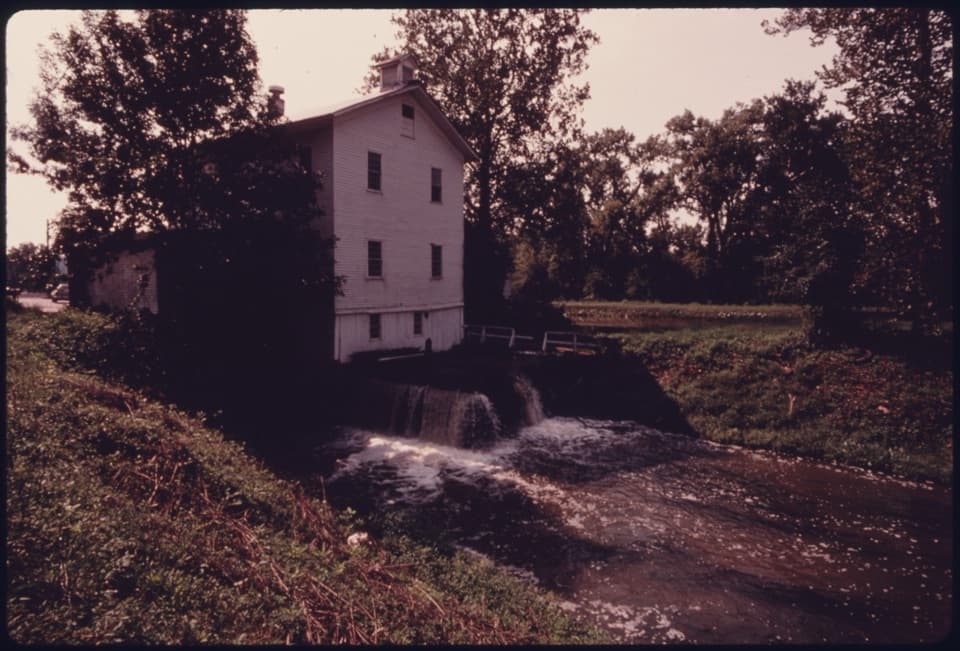 Sight · 1.5 mi awayAlexander-Wilson MillA historic canal mill, seen across the water from a Towpath stop.
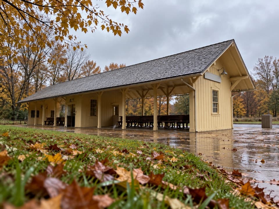 Sight · 1.6 mi awayRockside StationBoard the Scenic Railroad at its Cleveland-area starting point.
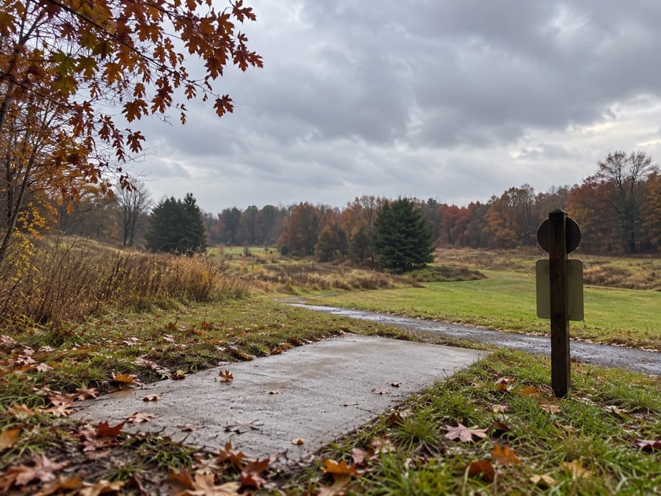 Sight · 1.8 mi awayAstorhurst Disc Golf CourseA long, hilly 18-hole round over a former golf course.
Parkwolf’s Cuyahoga Valley ranking

The audio tour guide for the drive, plus offline maps, trails, and wildlife heatmaps for when the signal drops.