Parking
The west access is at Brecksville Road and Selig Drive. A dedicated trail lot was not verified; confirm lawful parking before using it as a vehicle trailhead.
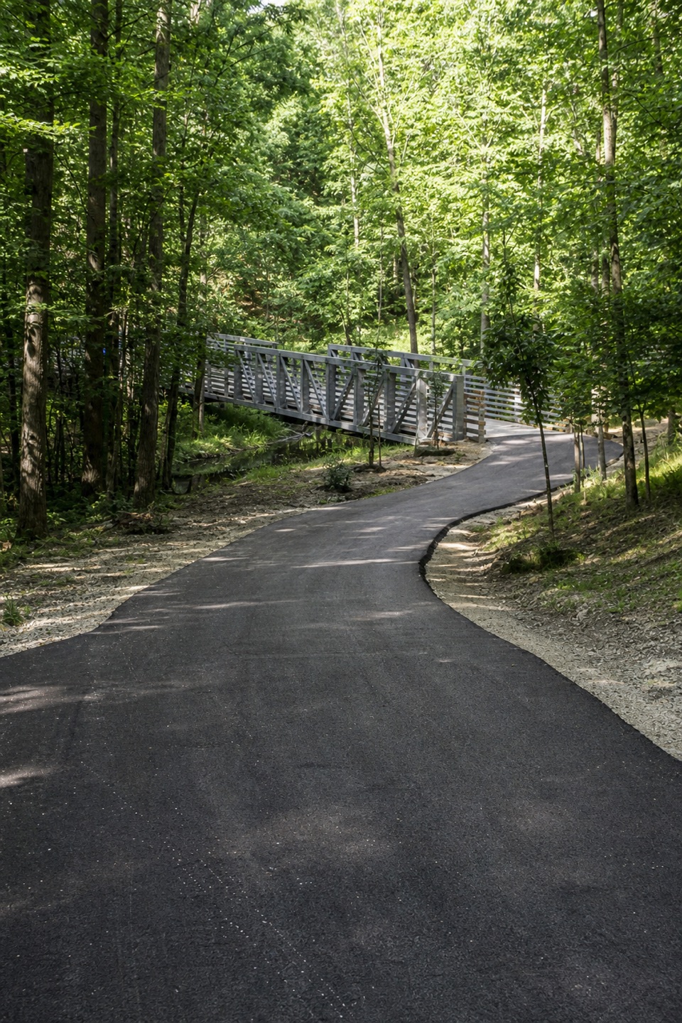
Cuyahoga Valley National Park, OH
A paved creekside walk crosses the river to the Towpath.
Overview
Map & elevation
Plan your hike

The highest, rockiest slopes around here are a summer buffet for grizzly bears.
Cuyahoga Valley Tour Guide
Parkwolf is a GPS audio tour guide for Cuyahoga Valley National Park. As you drive, it chimes in with what’s ahead: hidden gems, upcoming stops, history, geology, and wildlife, right through your car’s speakers.
Recorded for this area
How Ice Splits a Cliff“Water can help split a cliff without flowing like a river. It seeps into cracks in rock, then expands as it freezes, pushing against the sides.”
Plays on the road 0.6 mi from the trailhead in the Parkwolf Cuyahoga Valley Tour Guide.
More stories near here in the app
“Fantastic app with many points of information… It’s great to just turn on while you’re driving and it gives you an audio tour of the national Park. We love it!!!!”


Trail guide
Hemlock Creek Trail is a 1.7-mile paved point-to-point walk from Brecksville Road at Selig Drive to the Ohio & Erie Canal Towpath Trail. It follows Hemlock Creek through wooded valley and former quarry-road corridors, then crosses the Cuyahoga River. Choose it for a green way into the Towpath network, not for a summit or a loop. Allow about 45 to 60 minutes one way. The 1.7 miles end at the Towpath junction; retracing to the west access makes about 3.4 miles, and any extra Towpath distance is separate. Plan how you'll return before starting.
The wide asphalt path follows old Hemlock and Stone Road alignments and former quarry haul roads beside the creek. In the wooded corridor, tributaries, small waterfalls and rapids add interest; quarry remnants recall the area's industrial past. The surface is smooth, but the route rolls through the valley and has a few grades that can feel steeper than the pavement suggests.
A roughly 200-foot pedestrian bridge carries the trail over the Cuyahoga River. On the east bank, the route follows former Stone Road in Valley View to the Towpath. This bridge is the best place to stop for a photo: let its railings lead the eye along the crossing and into the wooded valley. If you continue on the Towpath, those miles are beyond this trail's mapped 1.7-mile length.
Start at Brecksville Road and Selig Drive and follow the path east to the Towpath. The route descends overall toward the river, so walking back to the start means climbing the same rolling grades. Bicyclists share the paved corridor. No dedicated parking, drinking water or restroom was verified at the west access or along the route; confirm a lawful parking and return plan before relying on this as a one-way outing.
Wildlife
 319 sightingsBald EagleMost seen around 7 AMSighting map
 12 sightingsRiver OtterMost seen around 7 AMSighting map
 103 sightingsCoyoteMost seen around 7 PMSighting map
 248 sightingsBeaverMost seen around 8 PMSighting map
 492 sightingsWhite-tailed DeerMost seen around 6 AMSighting map
 99 sightingsTrumpeter SwanMost seen around 5 PMSighting map
Sighting maps show where each species has been reported across Cuyahoga Valley. Wildlife moves, so no sighting is guaranteed.
Keep exploring
 ModerateOhio & Erie Canal Towpath Trail19.8 mi · 9 hr · 1.2 mi awayA long, level canal walk through locks, marshes, and river bends.
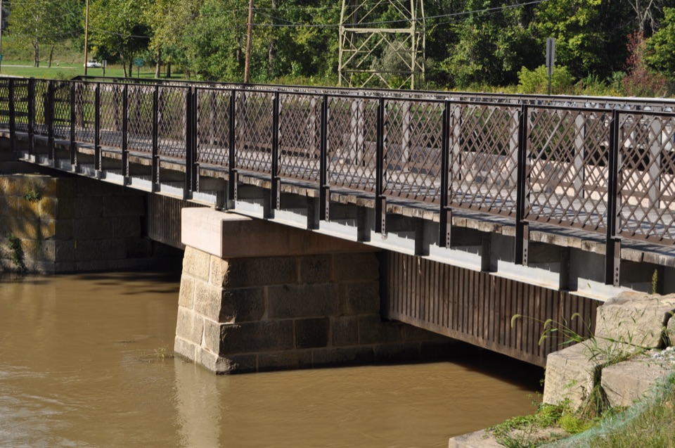 EasyCanal Exploration Center to Tinkers Creek Aqueduct Walk1.3 mi · 45 min · 1.4 mi awayA short canal walk past Lock 38 to Tinkers Creek Aqueduct.
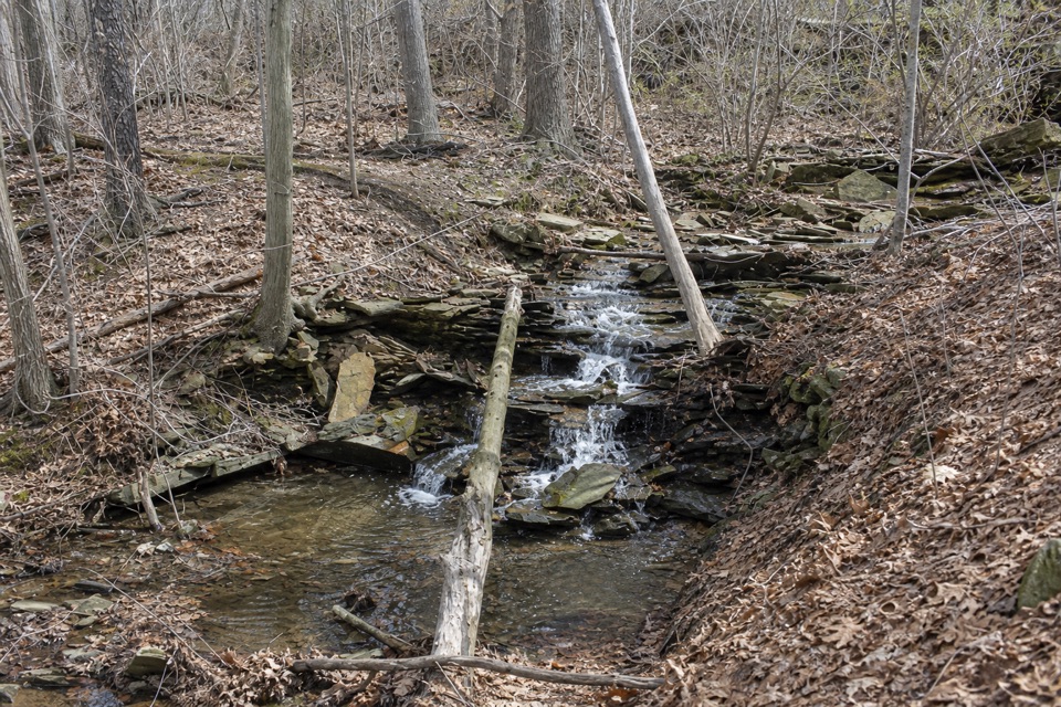 ModerateSagamore Creek Loop3.6 mi · 2 hr · 3.9 mi awayTwo seasonal falls reward a steep walk through the gorge.
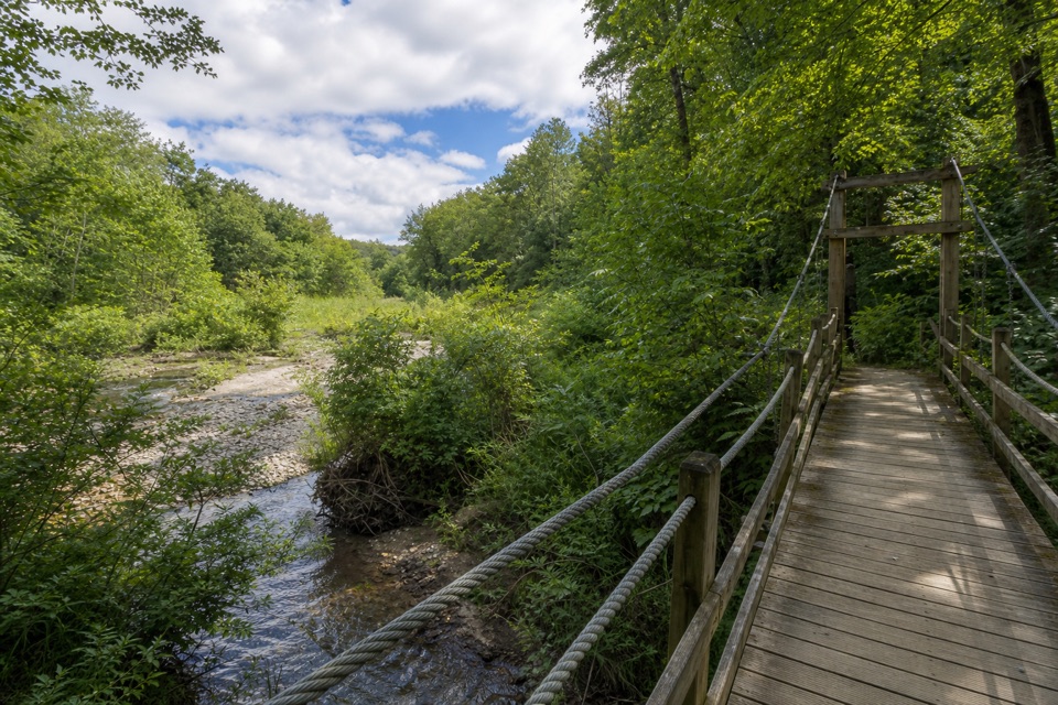 ModerateHemlock Trail2.8 mi · 1.3 hr · 4.1 mi awayA shady creek walk with two footbridges and spring pools.
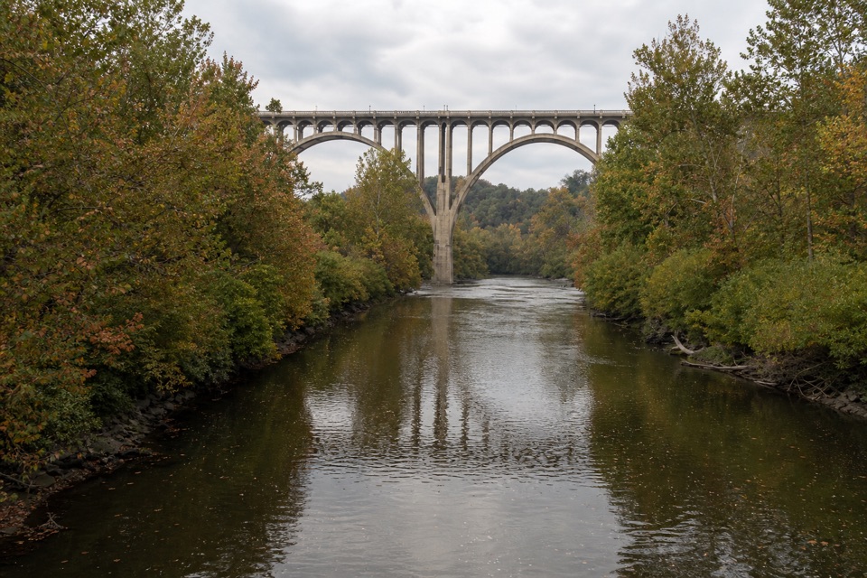 EasyBrecksville All Purpose Trail: Gorge to Station Road Bridge4.1 mi · 1.8 hr · 4.1 mi awayA paved creekside walk ends at a memorable river bridge.
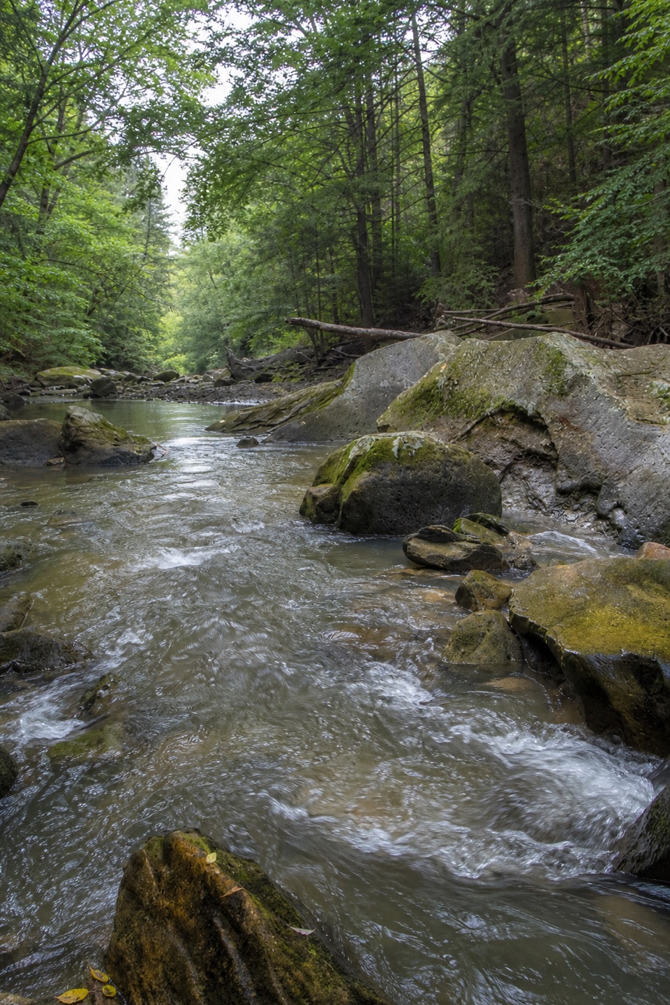 ModerateGorge Loop0.3 mi · 45 min · 4.2 mi awayGo down the stone stairs for Chippewa Creek and sandstone boulders.
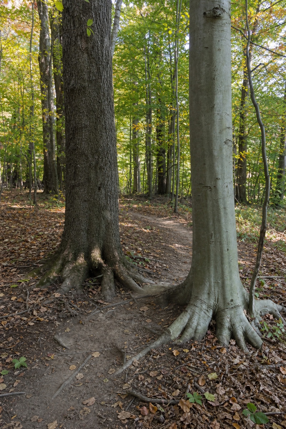 ModerateBedford Singletrack Loop11.5 mi · 5.5 hr · 4.2 mi awayA long forest circuit linked by one-way singletrack and paved paths.
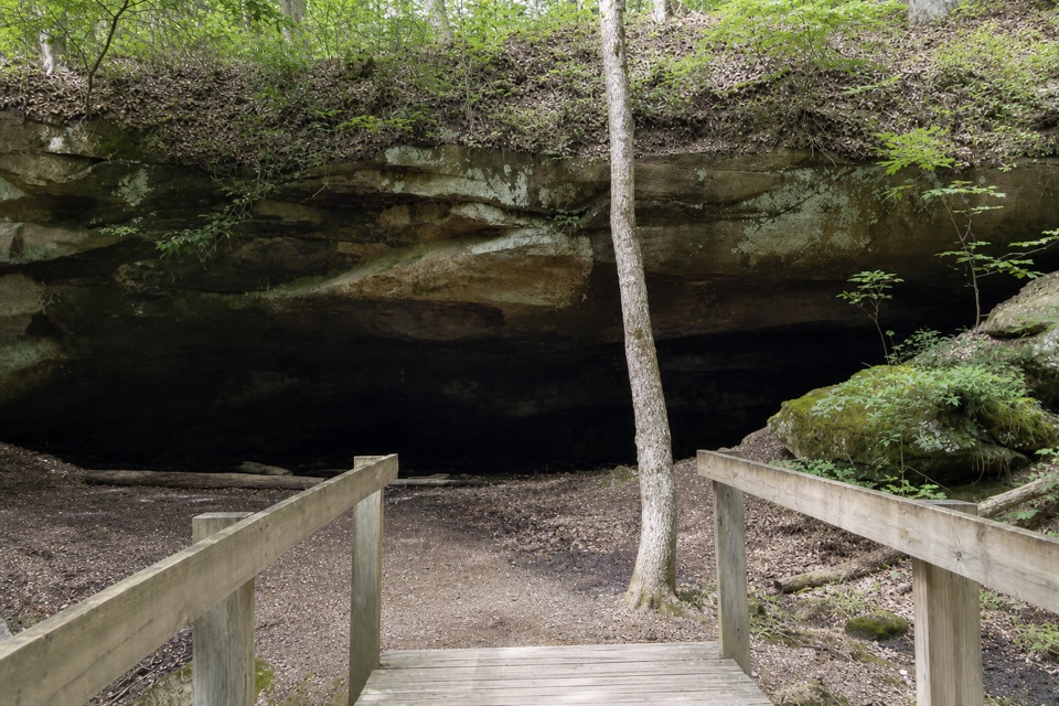 ModerateDeer Lick Loop4.2 mi · 2.5 hr · 4.2 mi awayA rolling forest loop leads to a broad sandstone overhang.
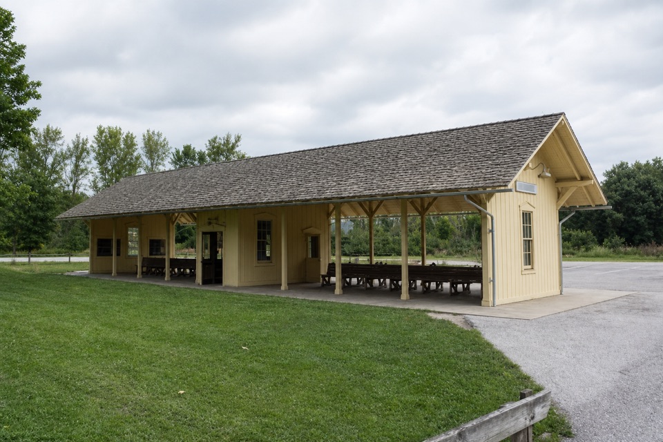 Sight · 1.2 mi awayRockside StationBoard the Scenic Railroad at its Cleveland-area starting point.
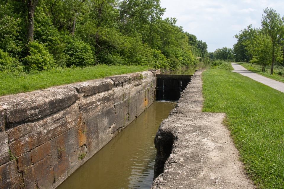 Sight · 1.2 mi awayLock 39One chamber makes the canal’s boat-lifting system easy to picture.
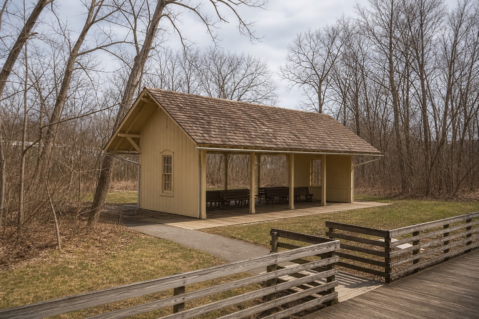 Sight · 1.3 mi awayCanal Exploration Center StationA compact rail stop links canal exhibits to the Towpath Trail.
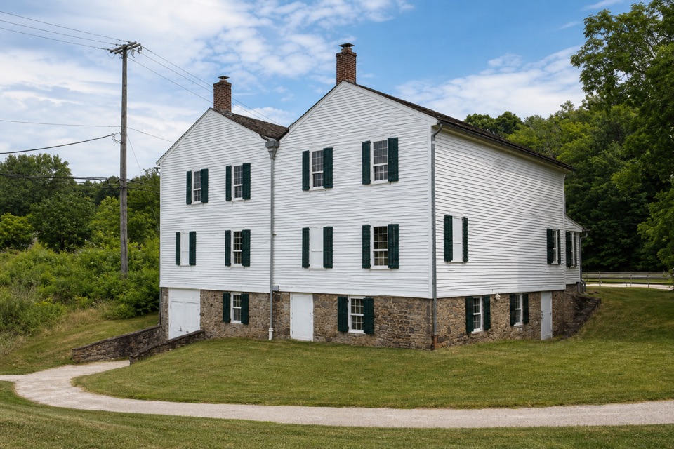 Visitor center · 1.4 mi awayCanal Exploration CenterHands-on canal history beside Lock 38 and the Towpath.
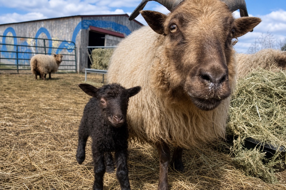 Store · 1.5 mi awayOxbow OrchardA farm market for seasonal produce, flowers, and local food.
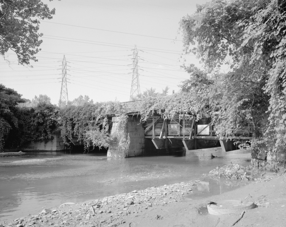 Sight · 1.8 mi awayTinkers Creek AqueductThe canal's clever workaround for carrying boats over Tinkers Creek.
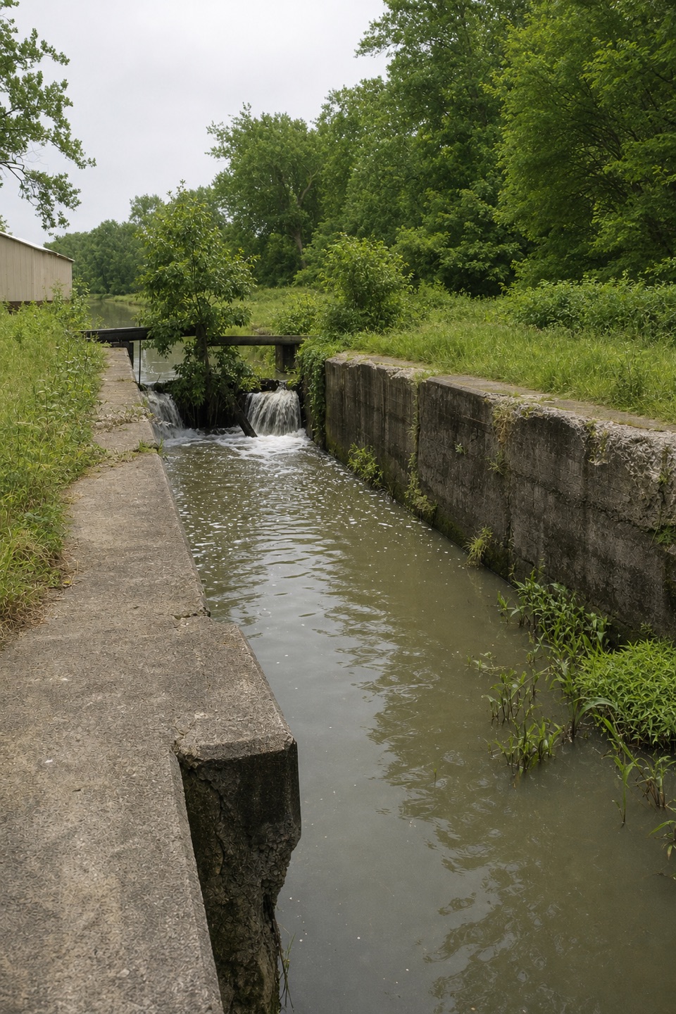 Sight · 2.7 mi awayLock 37 and Flood GateSee how a canal lock and flood gate manage water.
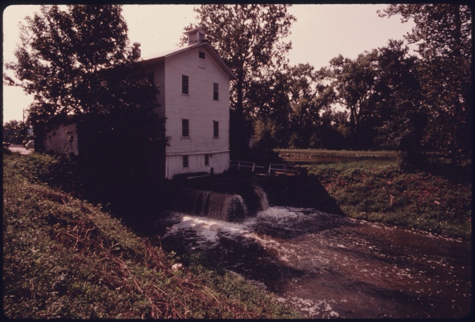 Sight · 2.7 mi awayAlexander-Wilson MillA historic canal mill, seen across the water from a Towpath stop.
Parkwolf’s Cuyahoga Valley ranking

The audio tour guide for the drive, plus offline maps, trails, and wildlife heatmaps for when the signal drops.




