My Mountain Trail in Cuyahoga Valley National Park

Cuyahoga Valley National Park, OH

My Mountain Trail

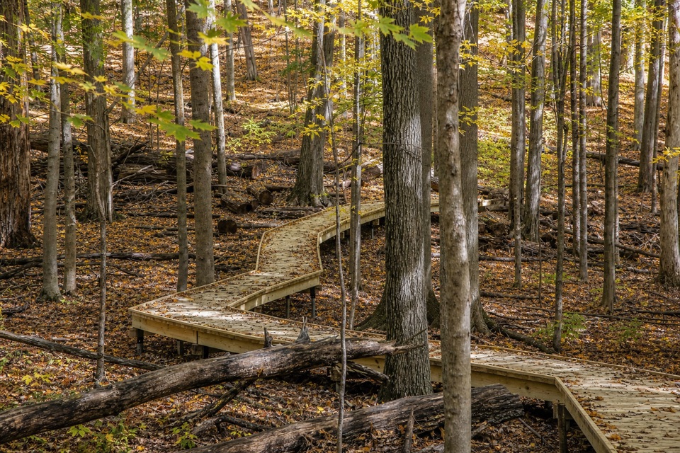
Seven crossings and a boardwalk lead to a wooded valley overlook.

Length
0.6mi
Time
30min
Elevation
Flat
Difficulty
Easy
  • Dogs allowed
  • High point 767 ft

Hear the audio tour

Plateau Picnic Area and My Mountain

Overview

About My Mountain Trail

Why go

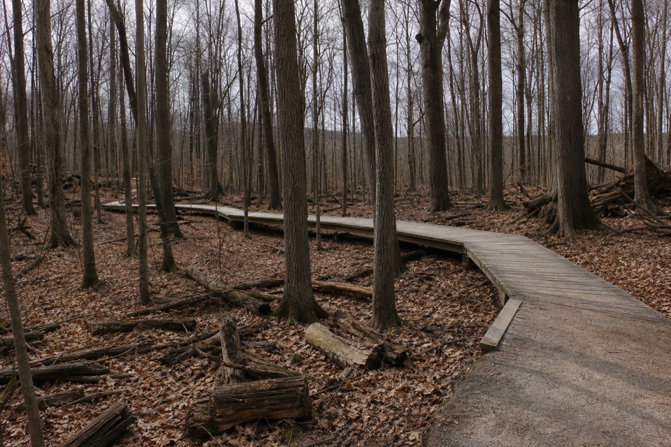
  • A 300-foot boardwalk and seven crossings add variety to a short walk.
  • The trail ends at a valley overlook above Chippewa Creek.

Heads up

  • The Plateau Picnic Area approach begins with stairs, and tree cover can screen part of the view.
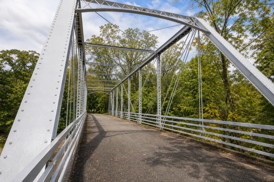
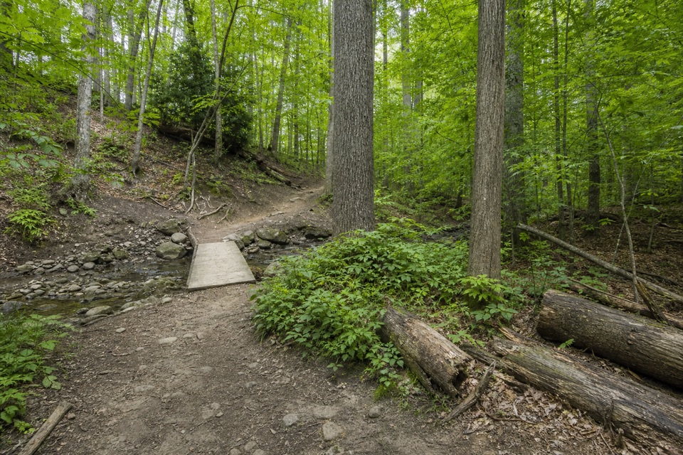
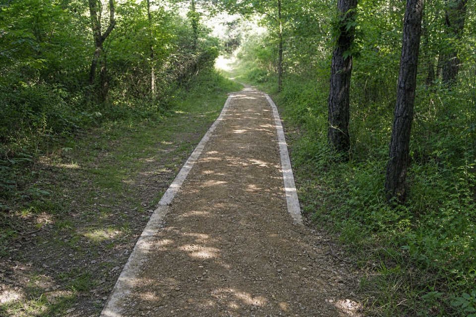
My Mountain Trail is a natural-surface spur off White Oak Trail to a wooded overlook above Chippewa Creek Valley. The named segment is 0.3 mile one way; turn around at the overlook for 0.6 mile out and back. It is an easy, shaded outing with seven crossing structures and a 300-foot boardwalk. Allow about half an hour on the spur, plus time for the stairs and access from Plateau Picnic Area. The wider White Oak trail complex is a separate, longer outing.
Parkwolf’s verdictWhy this short spur is worth it

Map & elevation

The route

Loading the Cuyahoga Valley map
Full map
Elevation737–767 ft
TrailheadWhite Oak Trail junction41.31466, -81.59748
Keep this map with you offline in the Parkwolf app

Plan your hike

Before you go

Parking

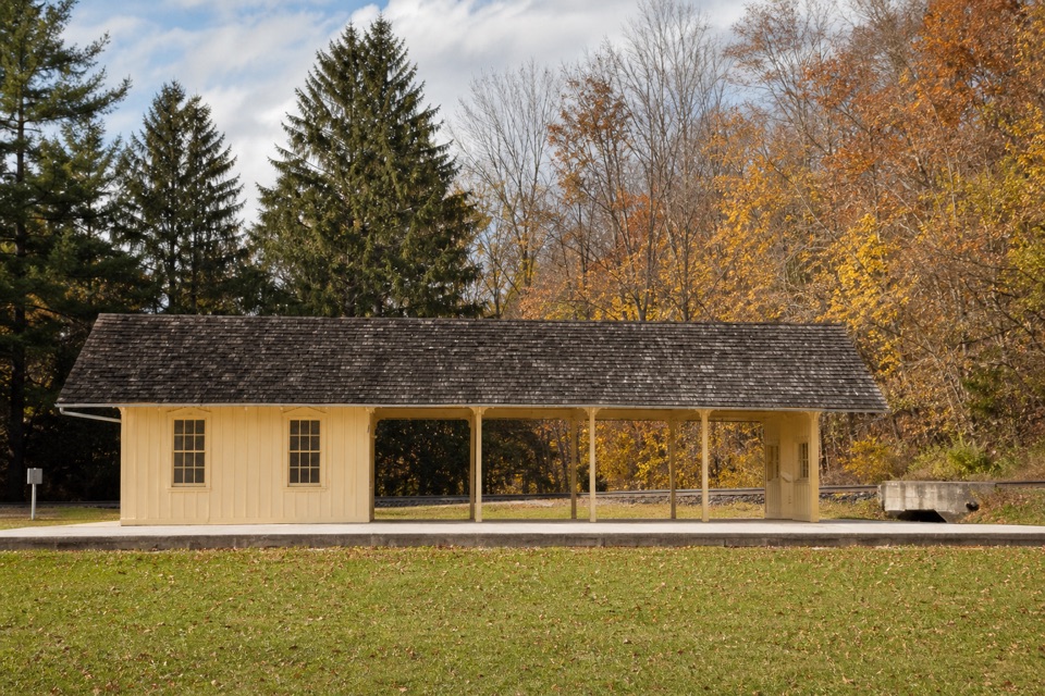
Use the parking area at Plateau Picnic Area off Chippewa Creek Drive, west of Riverview Road. Take the stairs beside the shelter toward the White Oak junction; that approach is additional to the 0.6-mile named trail distance. Restrooms and a drinking fountain are at the picnic area.


Safety

The Plateau Picnic Area approach uses stairs beside the shelter. Dogs must remain on a leash no longer than eight feet.

3 active Cuyahoga Valley alerts

  • ClosureTowpath Trail improvement closureThe Ohio & Erie Canal Towpath Trail from Boston Trailhead to Lock 29 in Peninsula is closed for improvements during the August 24–November 20, 2026 closure period.Official details
  • CautionCuyahoga River paddling closure and hazardsPaddlers must portage the current river-wide closure near river mile 17 and avoid serious river hazards. - The closure is due to bridge demolition and construction.Official details
See all 3 alerts
A park ranger sits on a dash-mounted phone, talking, as Parkwolf’s Tour Guide plays “Army Cutworm Moths: A Grizzly Bear Buffet” on Grand Loop Road below Dunraven Pass in Yellowstone
Parkwolf Tour GuideThe highest, rockiest slopes around here are a summer buffet for grizzly bears.

Cuyahoga Valley Tour Guide

Your drive to My Mountain Trail, narrated.

Parkwolf is a GPS audio tour guide for Cuyahoga Valley National Park. As you drive, it chimes in with what’s ahead: hidden gems, upcoming stops, history, geology, and wildlife, right through your car’s speakers.

Recorded for this trailhead

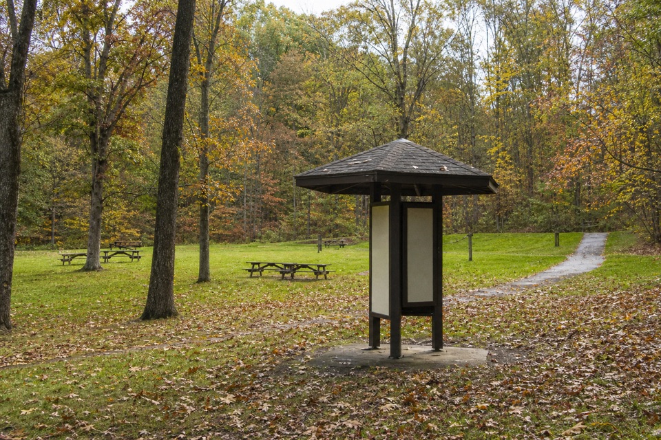
Plateau Picnic Area and My Mountain
0:00 / 0:26
“You're coming up on Plateau Picnic Area, the starting point for a walk to My Mountain Overlook.”

Plays as you drive up to this trailhead in the Parkwolf Cuyahoga Valley Tour Guide.

More stories near here in the app

  • Oak Grove and White Oak Trail
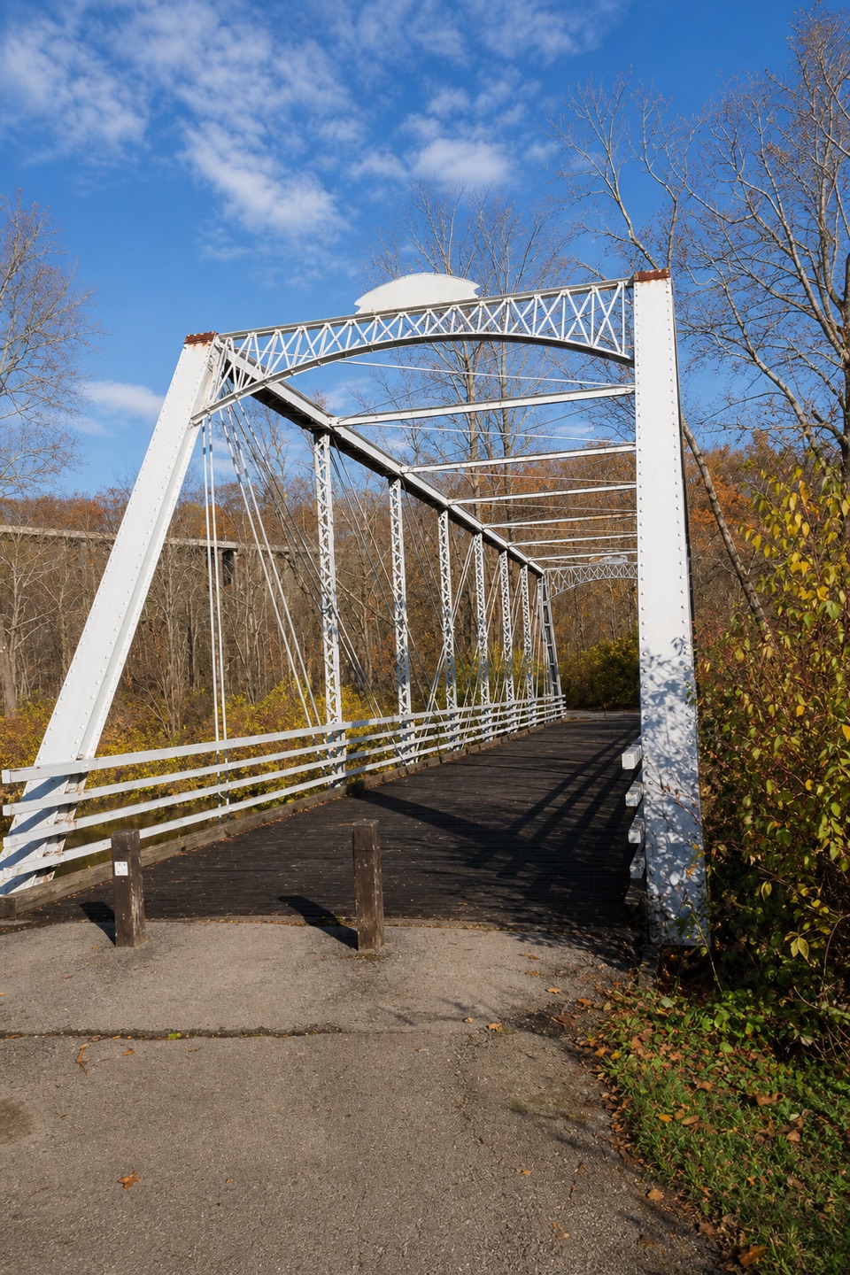
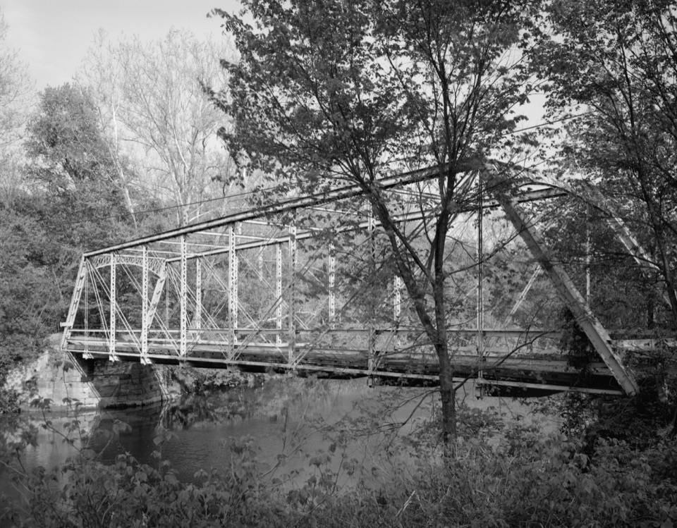
  • Station Road Bridge
  • Breathing Through the Skin
  • Deer Lick Cave
  • 97 audio storiesacross Cuyahoga Valley’s roads, triggered by GPS as you drive
  • Wildlife heatmapsfor Bald Eagle, River Otter, Coyote, and 13 more
  • Works offlinemaps, 63 trails, 88 places, and audio download before you lose signal
  • CarPlay readysimple controls built for the drive
★★★★★
“Fantastic app with many points of information… It’s great to just turn on while you’re driving and it gives you an audio tour of the national Park. We love it!!!!”
JMJamesApp Store review
Download Parkwolf on the App StoreGet Parkwolf on Google Play

4.7 from 8,600+ ratings

Trail guide

Hiking My Mountain Trail

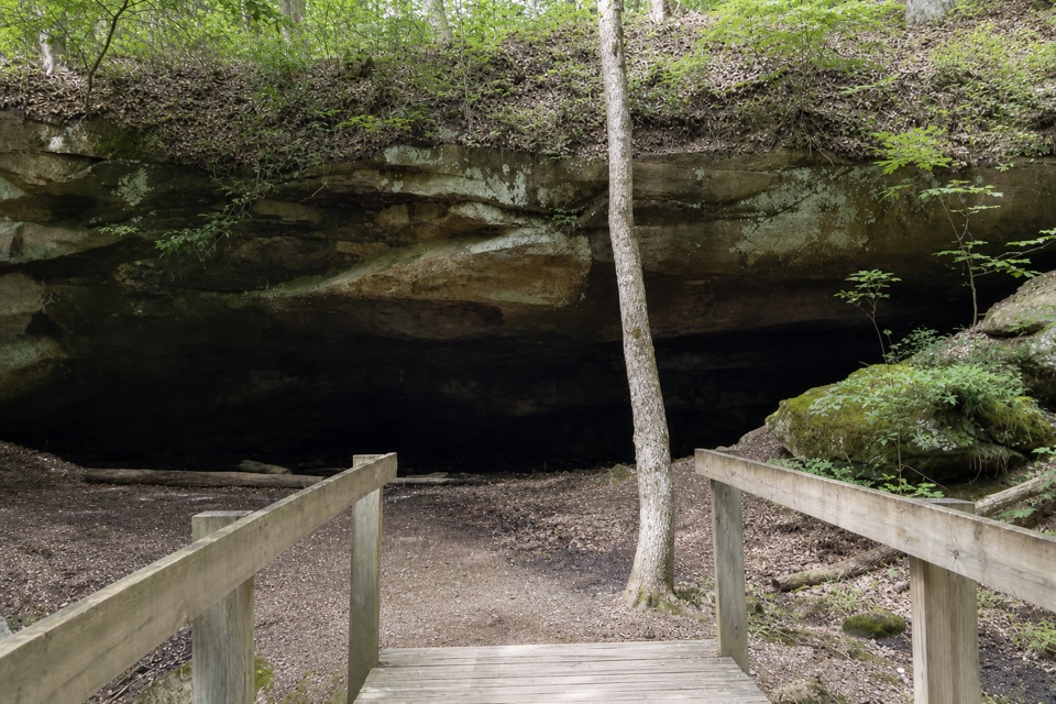
The boardwalk and crossingsThe route alternates natural surface with seven built crossings, including a 300-foot boardwalk…

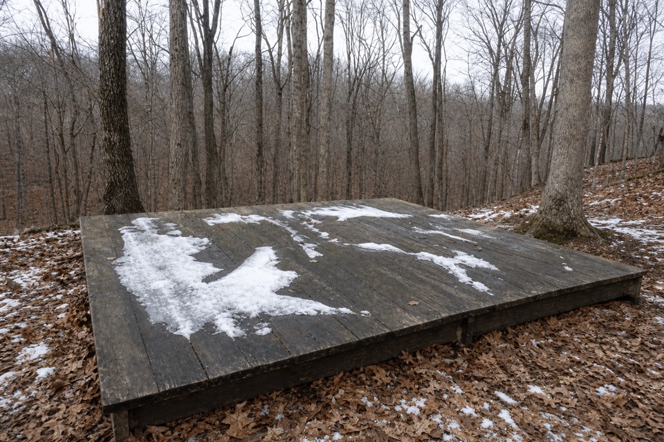
The route alternates natural surface with seven built crossings, including a 300-foot boardwalk through the hardwood woods. This is the walk's distinctive stretch: the raised timber path bends among the trees, then the trail reaches the overlook. Return the same way; this row does not include the neighboring White Oak or Buckeye routes.

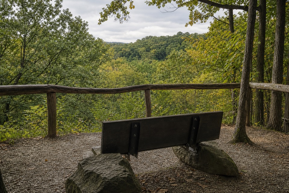
A view above Chippewa CreekAt the end, look out over the deep Chippewa Creek Valley.

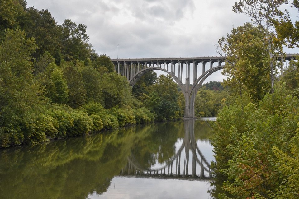
At the end, look out over the deep Chippewa Creek Valley. Glacial action shaped the gorge; the ridge is mainly oak and hickory, while the lower valley has cottonwoods, willows and sycamores. This is a wooded overlook rather than a bare cliff edge, and leaf cover can screen parts of the valley view in warmer months.

A route restored in 2023The current trail opened in October 2023 as part of a project that restored older White Oak…

The current trail opened in October 2023 as part of a project that restored older White Oak alignments and reconnected portions of the Buckeye Trail, with the new overlook as its payoff. Older descriptions can refer to a different approach, so follow the White Oak connection for the short named spur described here.

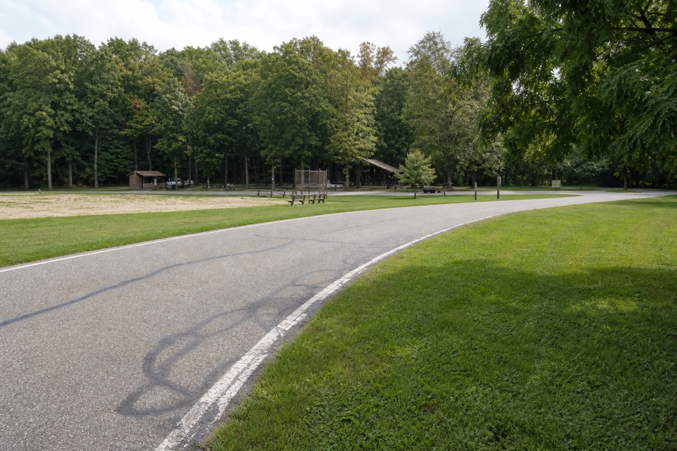
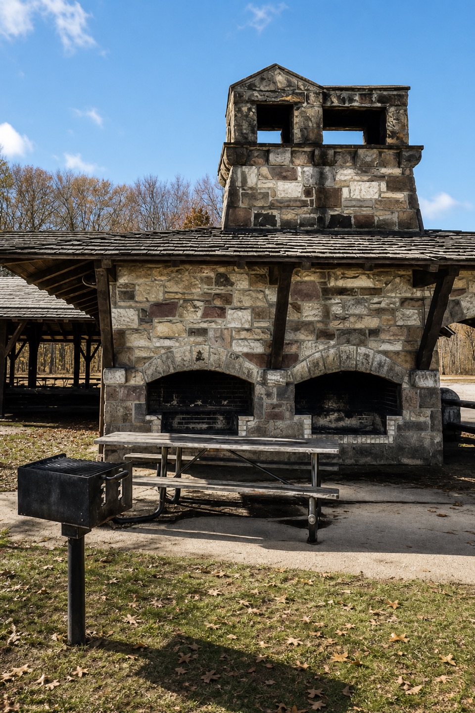
Starting at Plateau Picnic AreaPark at Plateau Picnic Area off Chippewa Creek Drive.

Park at Plateau Picnic Area off Chippewa Creek Drive. The approach uses the stairs beside the shelter before reaching the White Oak junction; that access is extra to the named spur's 0.6-mile round trip. The picnic area has restrooms, a drinking fountain, grills and tables. Dogs and cats are allowed on a leash no longer than eight feet.

Wildlife

Wildlife in Cuyahoga Valley

All Cuyahoga Valley wildlife maps

Sighting maps show where each species has been reported across Cuyahoga Valley. Wildlife moves, so no sighting is guaranteed.

Keep exploring

Near My Mountain Trail

See it all on the map

Trails that start nearby

Places near the trailhead

Parkwolf’s Cuyahoga Valley ranking

Top-rated trails in Cuyahoga Valley

All 63 trails
  1. 1Ledges TrailModerate · 1.8 mi
  2. 2Brandywine Gorge LoopModerate · 1.4 mi
  3. 3Blue Hen Falls TrailModerate · 3 mi
  4. 4Beaver Marsh WalkEasy · 0.6 mi
  5. 5Ohio & Erie Canal Towpath TrailModerate · 19.8 mi
  6. 6Stanford TrailModerate · 3.5 mi

Take Parkwolf to Cuyahoga Valley.

The audio tour guide for the drive, plus offline maps, trails, and wildlife heatmaps for when the signal drops.

4.7 from 8,600+ ratings

Download Parkwolf on the App StoreGet Parkwolf on Google Play