Parking
Use Brecksville Nature Center Trailhead for the full circuit. The small roadside spaces along Valley Parkway serve the separate cave approach; parking reports vary, so do not assume a space will be open there.
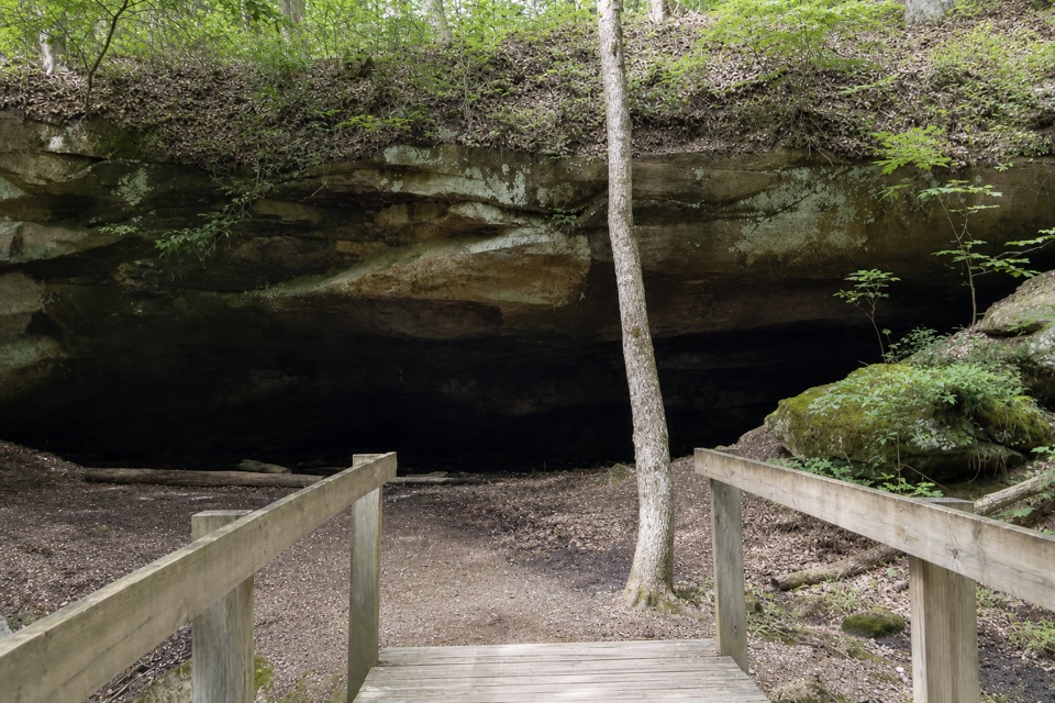
#8 of 63 trails in Cuyahoga Valley
Cuyahoga Valley National Park, OH
A rolling forest loop leads to a broad sandstone overhang.
Overview
Map & elevation
Plan your hike

The highest, rockiest slopes around here are a summer buffet for grizzly bears.
Cuyahoga Valley Tour Guide
Parkwolf is a GPS audio tour guide for Cuyahoga Valley National Park. As you drive, it chimes in with what’s ahead: hidden gems, upcoming stops, history, geology, and wildlife, right through your car’s speakers.
Recorded for this trailhead
Brecksville Nature Center and Harriet Keeler Picnic Area“You're approaching Brecksville Nature Center, a small museum with hands-on exhibits and a window overlooking bird feeders.”
Plays as you drive up to this trailhead in the Parkwolf Cuyahoga Valley Tour Guide.
More stories near here in the app
“Fantastic app with many points of information… It’s great to just turn on while you’re driving and it gives you an audio tour of the national Park. We love it!!!!”


Trail guide
Deer Lick Loop is a wooded, rolling circuit in Brecksville Reservation. Starting at Brecksville Nature Center Trailhead, the full outing is about 4.2 miles: the current reservation map labels the named loop 4.0 miles, and this route adds roughly 0.4 mile on the shared access walk out and back. Allow about two and a half hours. It is a moderate hike rather than a sustained climb; uneven ground, creek crossings and steps by the overhang slow the pace. The sandstone shelter is the main landmark, roughly halfway around. If you only want to see the overhang, the separate Valley Parkway approach is a much shorter cave visit, not this loop.
Use Brecksville Nature Center Trailhead for the full circuit. A short mapped connector joins the named loop, and you walk that shared approach again on the return. Several hikes meet by the Nature Center, and route choices near the cave have also been reported as confusing. Keep the current reservation map handy and confirm the loop at each junction instead of following a trail color alone. From Valley Parkway, the cave is about 200 yards one way; that short access does not complete the circuit.
The trail rolls through deciduous woods and crosses several creeks. One stretch is shared with a bridle trail, so expect a multi-use path rather than a single-use tread throughout. The effort comes more from four miles of uneven, sometimes soft ground than from a long climb. Near the cave, stone steps and rocks make the descent to the shelter rougher than much of the wooded trail. Mud and wet or leaf-covered stone can be slick; shoes with good grip and slower steps at crossings are sensible.
Deer Lick Cave is a broad overhang eroded by water into Berea sandstone, not a deep underground passage. Look up at the layered rock ceiling, then into the dark recess beneath it. The name connects to salt: minerals left by an ancient ocean became embedded in the sandstone, and deer are drawn to lick that salt from the rock. It is a geological story you can see from below the ledge, without entering a cave.
A low-flow waterfall sits near the overhang, but it can shrink or disappear after dry weather, so treat running water as a bonus. The rock shelter is the route’s defining photo stop. From the short timber footbridge, frame the broad ledged roof and its shaded recess together. The same formation changes with the seasons: flowering trees in spring, shade in summer, fall color and icicles in winter.
For the full circuit, start at Brecksville Nature Center Trailhead; it also serves several other hikes. Small roadside spaces along Valley Parkway are for the separate cave approach, and reports on parking availability vary, so do not assume a space will be open there. Bring water; drinking-water and toilet availability on the route were not verified. Dogs are allowed under the normal park rules: use a leash no longer than eight feet and put waste in a litter receptacle.
Wildlife
 319 sightingsBald EagleMost seen around 7 AMSighting map
 12 sightingsRiver OtterMost seen around 7 AMSighting map
 103 sightingsCoyoteMost seen around 7 PMSighting map
 248 sightingsBeaverMost seen around 8 PMSighting map
 492 sightingsWhite-tailed DeerMost seen around 6 AMSighting map
 99 sightingsTrumpeter SwanMost seen around 5 PMSighting map
Sighting maps show where each species has been reported across Cuyahoga Valley. Wildlife moves, so no sighting is guaranteed.
Keep exploring
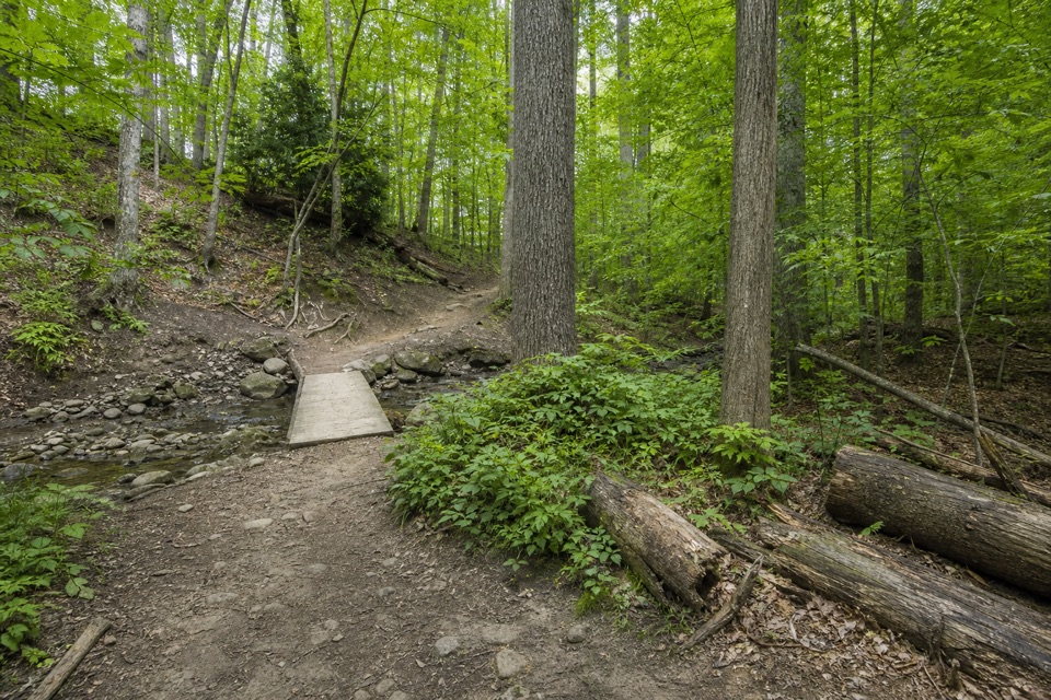 EasyWildflower Loop Trail0.8 mi · 30 min · 0.1 mi awayA short loop threading woods, spring flowers and Wallin Creek.
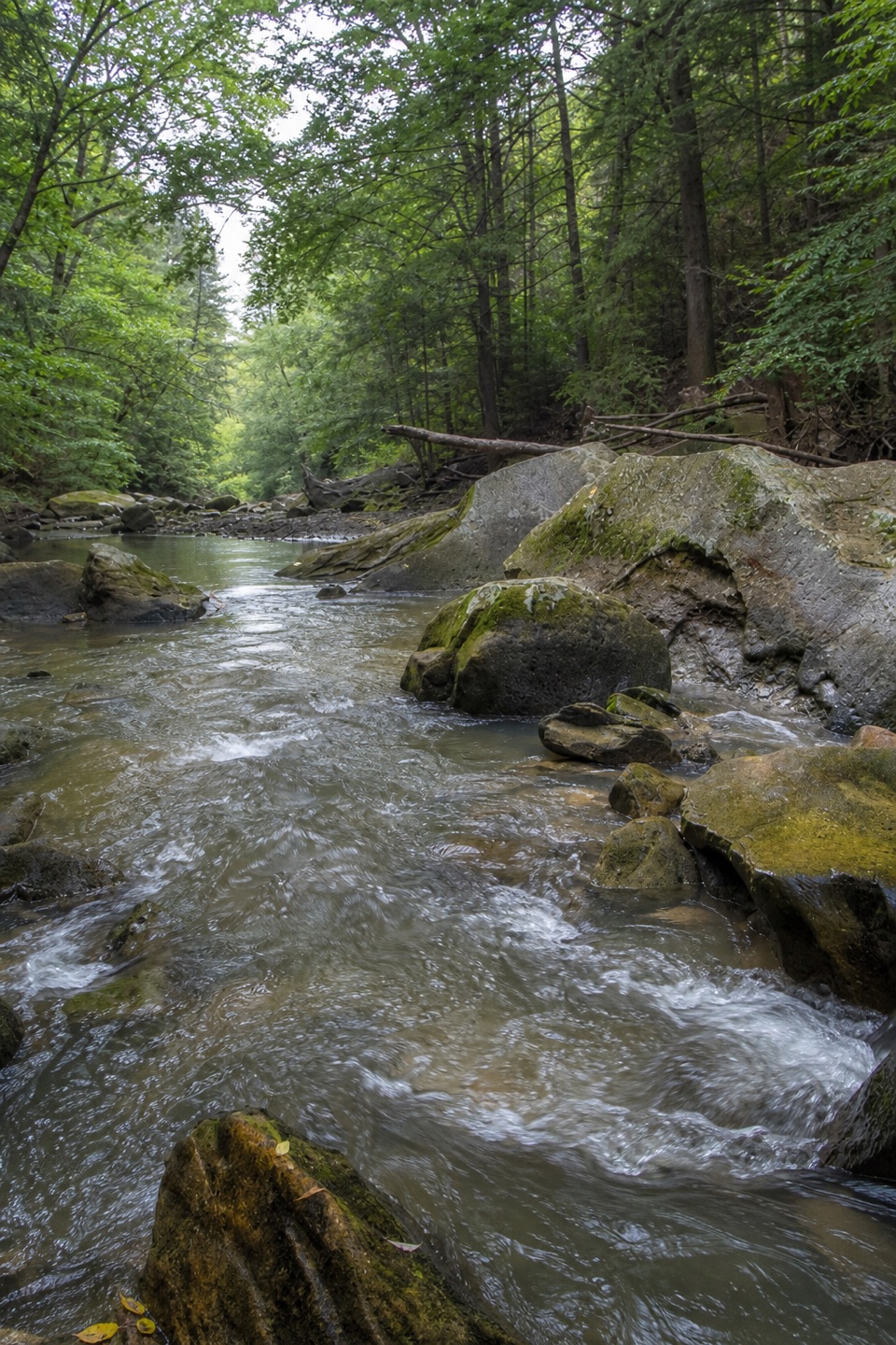 ModerateGorge Loop0.3 mi · 45 min · 0.2 mi awayGo down the stone stairs for Chippewa Creek and sandstone boulders.
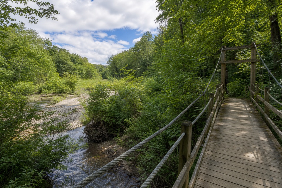 ModerateHemlock Trail2.8 mi · 1.3 hr · 0.3 mi awayA shady creek walk with two footbridges and spring pools.
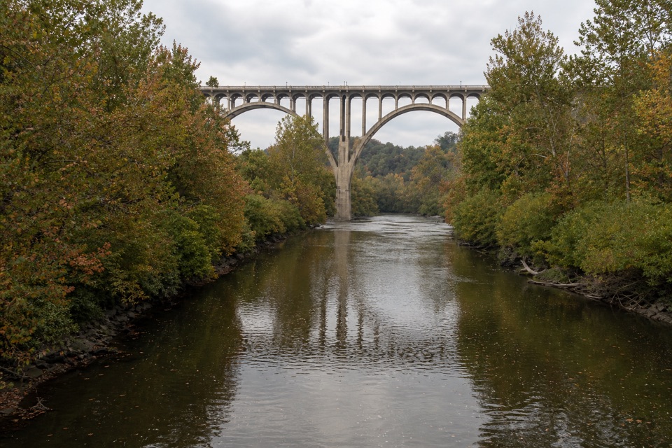 EasyBrecksville All Purpose Trail: Gorge to Station Road Bridge4.1 mi · 1.8 hr · 0.3 mi awayA paved creekside walk ends at a memorable river bridge.
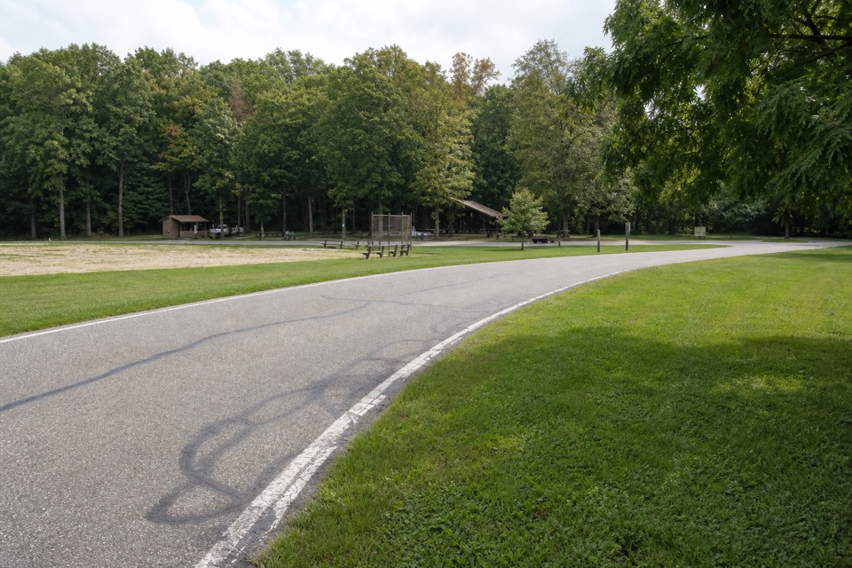 EasyNorth Bridle Loop2.9 mi · 1.5 hr · 0.3 mi awayA short loop through the shared bridle network.
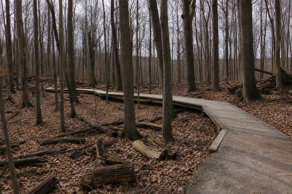 ModerateWhite Oak Trail Loop1.4 mi · 1 hr · 0.9 mi awayA short loop drops from the ridge into forested ravines.
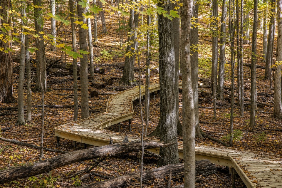 EasyMy Mountain Trail0.6 mi · 30 min · 1 mi awaySeven crossings and a boardwalk lead to a wooded valley overlook.
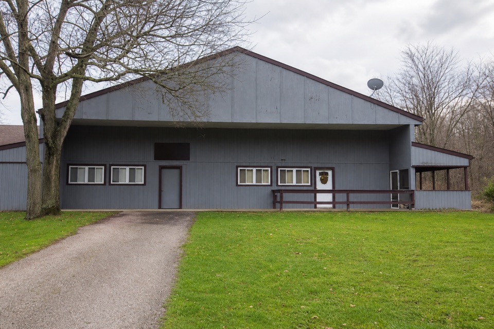 EasySouth Bridle Loop1.6 mi · 1 hr · 1.4 mi awayA short bridle loop beside Brecksville Stables.
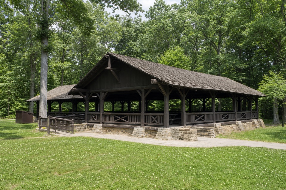 Picnic area · At the trailheadHarriet Keeler Memorial Picnic AreaA shaded picnic stop with a shelter, play area and trail access.
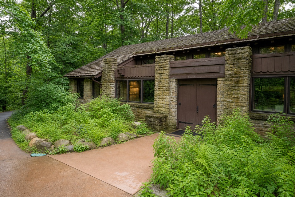 Visitor center · 0.1 mi awayBrecksville Nature CenterA feeder window makes this 1939 trailside museum an easy stop.
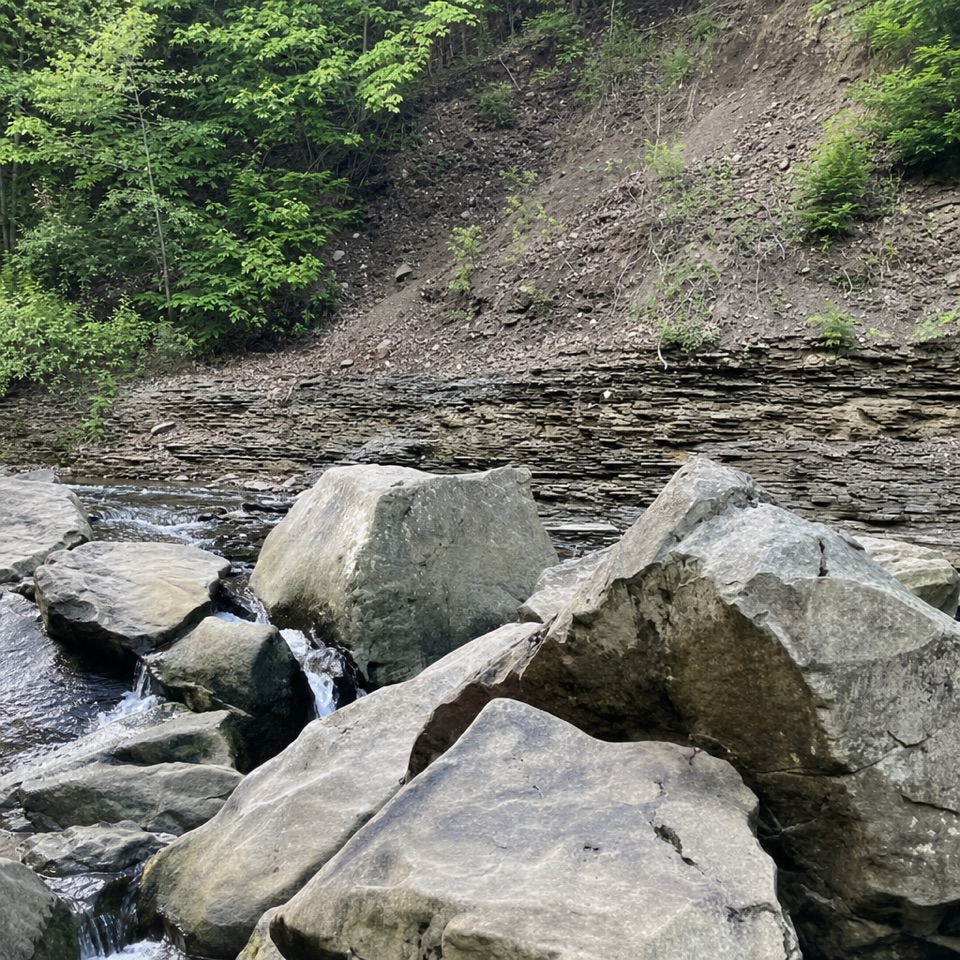 Sight · 0.3 mi awayChippewa Creek Gorge Scenic OverlookA quick roadside view into a sandstone gorge.
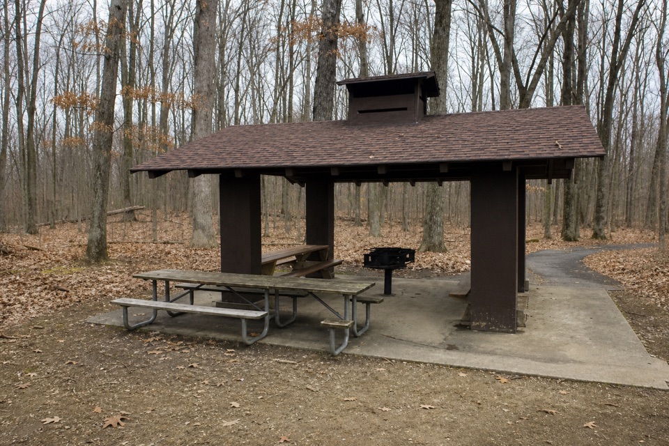 Picnic area · 0.3 mi awayMeadows Picnic AreaAn easy picnic base with a cookhouse and nearby trail access.
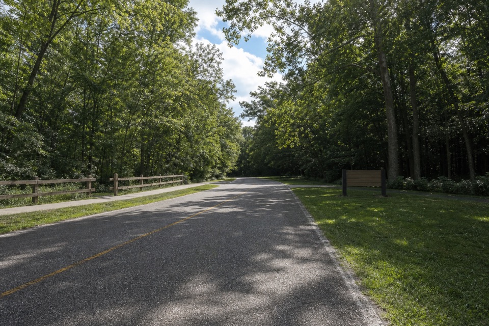 Picnic area · 0.8 mi awayLower Chippewa Creek Picnic AreaA shaded picnic stop beside the creek, close to nearby walks.
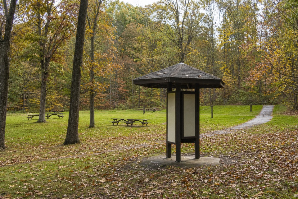 Picnic area · 0.9 mi awayPlateau Picnic AreaA shaded picnic stop with trails close by.
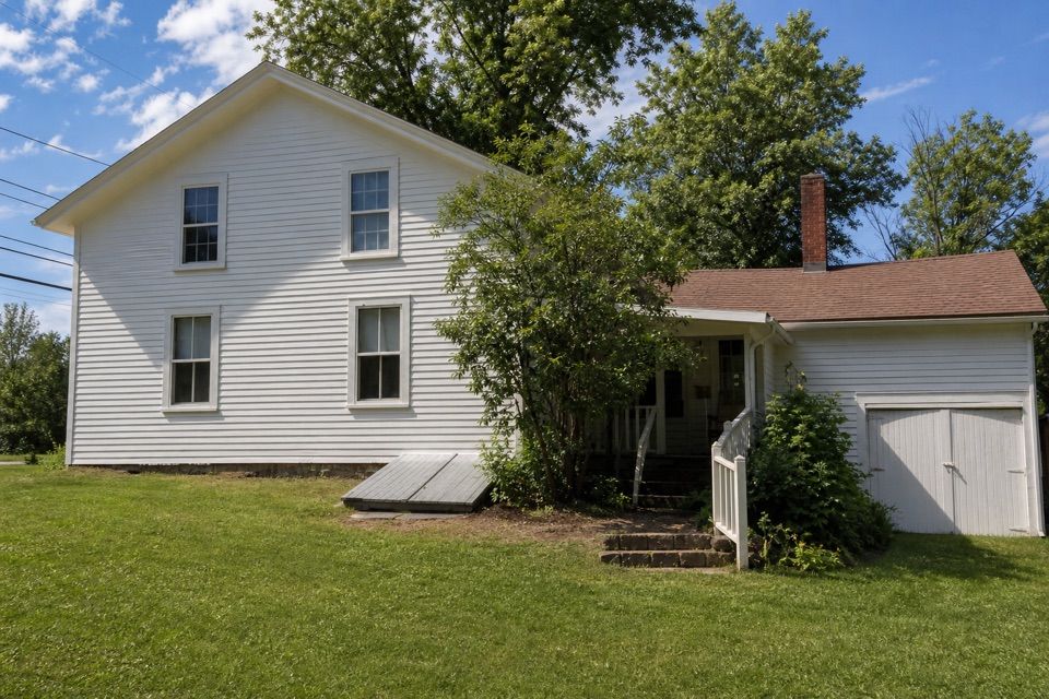 Sight · 1 mi awaySquire Rich MuseumSix rooms keep Brecksville’s local story inside a historic family home.
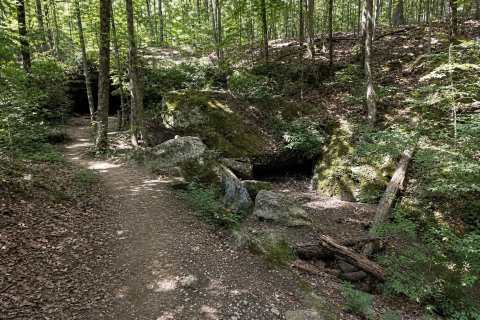 Sight · 1 mi awayDeer Lick CaveA shady sandstone overhang, reached by a short stair walk.
Parkwolf’s Cuyahoga Valley ranking

The audio tour guide for the drive, plus offline maps, trails, and wildlife heatmaps for when the signal drops.





