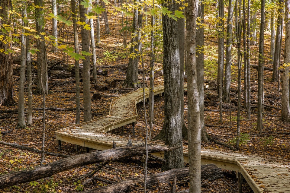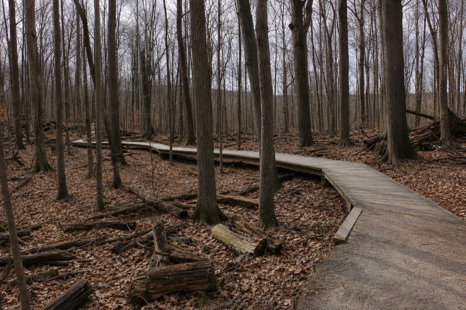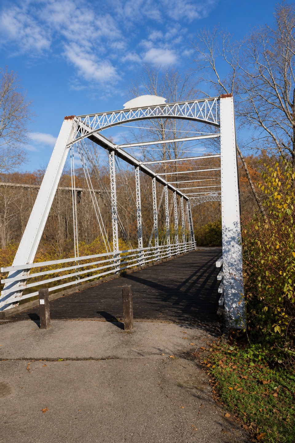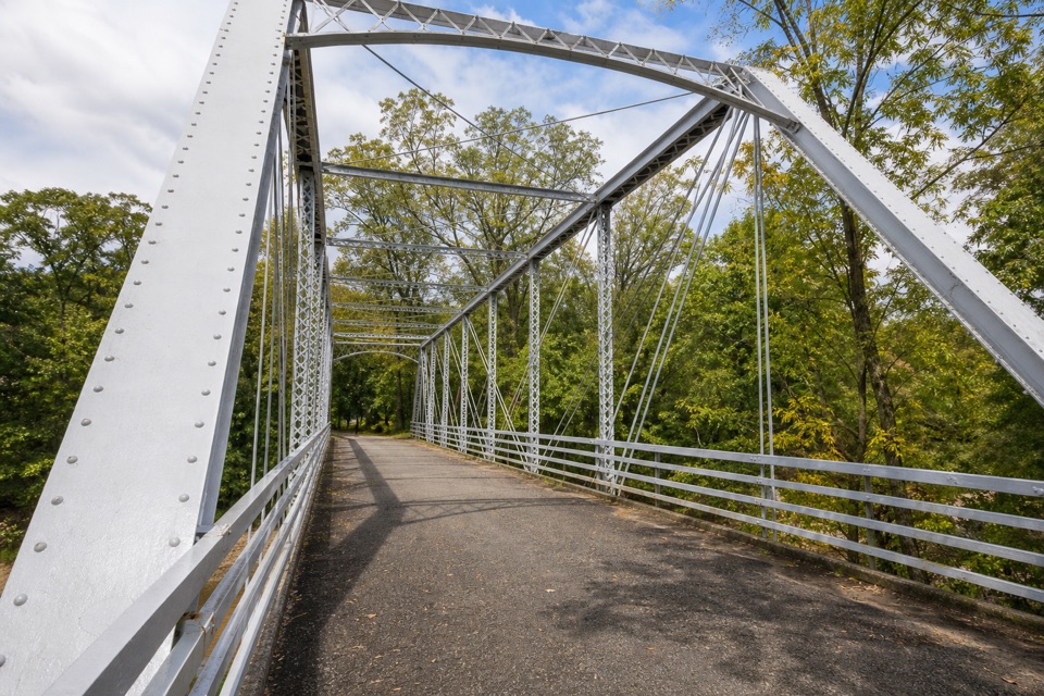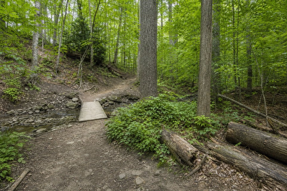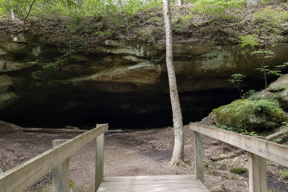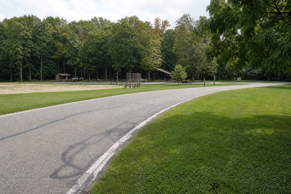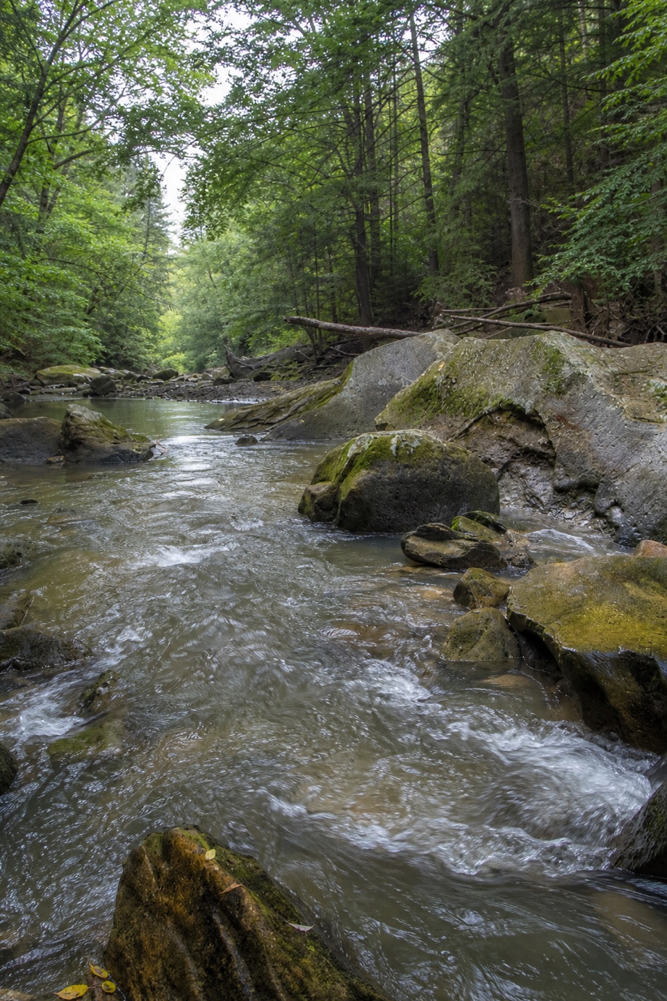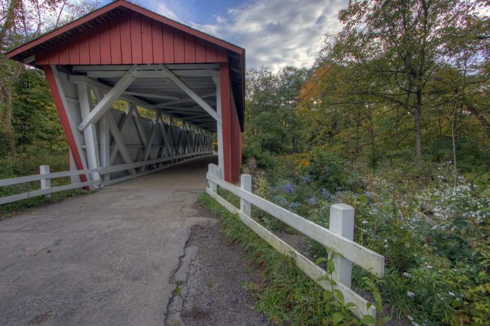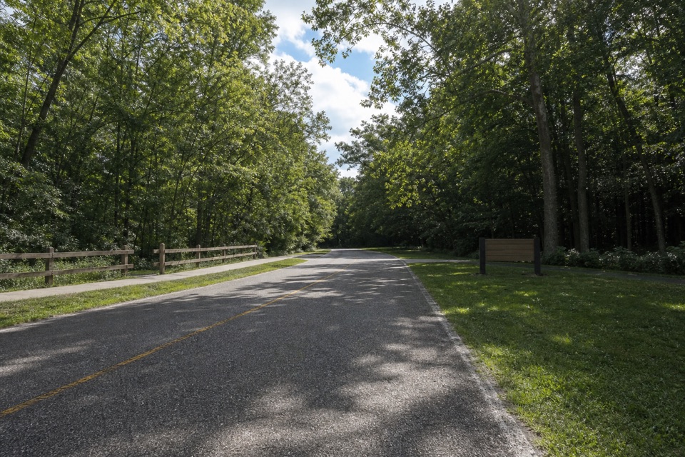
Lower Chippewa Creek Picnic Area in Cuyahoga Valley National Park

Picnic area · Cuyahoga Valley National Park

Lower Chippewa Creek Picnic Area

A shaded picnic stop beside the creek, close to nearby walks.

Type
Picnic area
Nearest trail
0.2 mi
Audio stories
14 nearby
  • Parking
  • Picnic tables

Hear the audio tour

Plateau Picnic Area and My Mountain

Overview

About Lower Chippewa Creek Picnic Area

Why stop

  • Grills and tables make an outdoor meal simple.

Map

Where it is

Loading the Cuyahoga Valley map
Full map
Picnic areaLower Chippewa Creek Picnic Area41.31537, -81.60140
Keep this map with you offline in the Parkwolf app

Plan your stop

Before you go

3 active Cuyahoga Valley alerts

  • ClosureTowpath Trail improvement closureThe Ohio & Erie Canal Towpath Trail from Boston Trailhead to Lock 29 in Peninsula is closed for improvements during the August 24–November 20, 2026 closure period.Official details
  • CautionCuyahoga River paddling closure and hazardsPaddlers must portage the current river-wide closure near river mile 17 and avoid serious river hazards. - The closure is due to bridge demolition and construction.Official details

See all 3 alerts
A park ranger sits on a dash-mounted phone, talking, as Parkwolf’s Tour Guide plays “Army Cutworm Moths: A Grizzly Bear Buffet” on Grand Loop Road below Dunraven Pass in Yellowstone
Parkwolf Tour GuideThe highest, rockiest slopes around here are a summer buffet for grizzly bears.

Cuyahoga Valley Tour Guide

Your drive to Lower Chippewa Creek Picnic Area, narrated.

Parkwolf is a GPS audio tour guide for Cuyahoga Valley National Park. As you drive, it chimes in with what’s ahead: hidden gems, upcoming stops, history, geology, and wildlife, right through your car’s speakers.

Recorded for this area

Plateau Picnic Area and My Mountain
0:00 / 0:26
“You're coming up on Plateau Picnic Area, the starting point for a walk to My Mountain Overlook.”

Plays on the road 0.2 mi from Lower Chippewa Creek Picnic Area in the Parkwolf Cuyahoga Valley Tour Guide.

More stories near here in the app

  • Oak Grove and White Oak Trail
  • Station Road Bridge
  • Brecksville Nature Center and Harriet Keeler Picnic Area
  • Deer Lick Cave
  • 97 audio storiesacross Cuyahoga Valley’s roads, triggered by GPS as you drive
  • Wildlife heatmapsfor Bald Eagle, River Otter, Coyote, and 13 more
  • Works offlinemaps, 63 trails, 88 places, and audio download before you lose signal
  • CarPlay readysimple controls built for the drive
★★★★★
“Fantastic app with many points of information… It’s great to just turn on while you’re driving and it gives you an audio tour of the national Park. We love it!!!!”
JMJamesApp Store review
Download Parkwolf on the App StoreGet Parkwolf on Google Play

4.7 from 8,600+ ratings

Guide

More about Lower Chippewa Creek Picnic Area

A shady creekside stopLower Chippewa Creek Picnic Area is a small public picnic spot beside Chippewa Creek in…

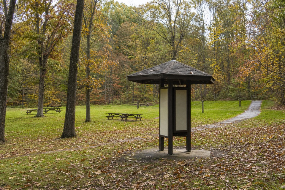
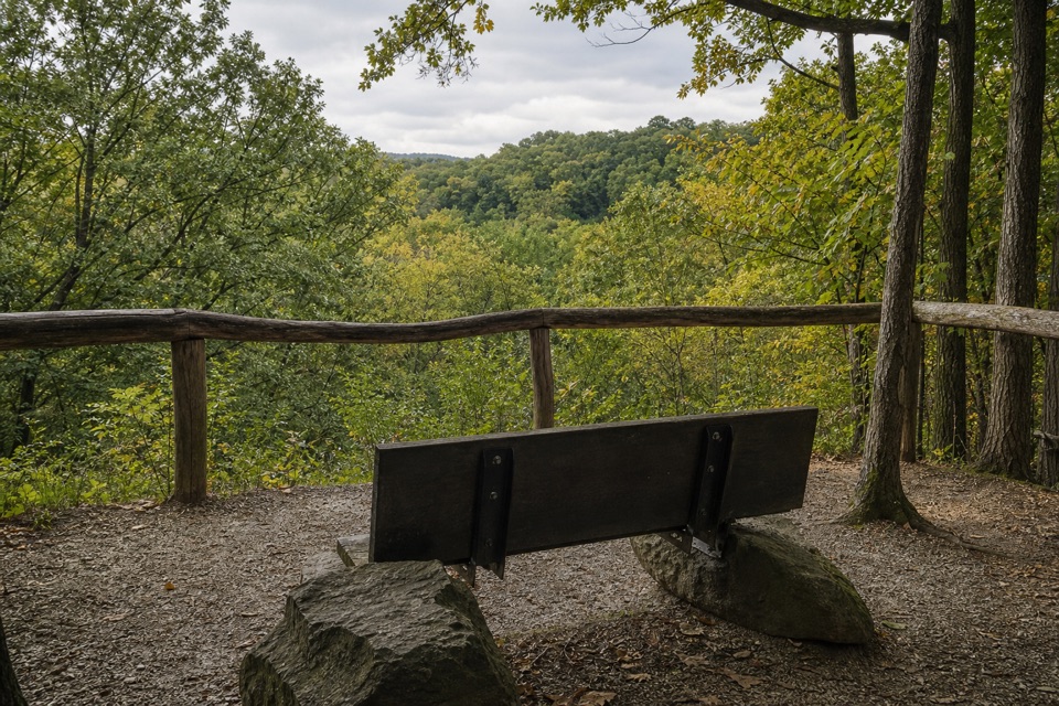
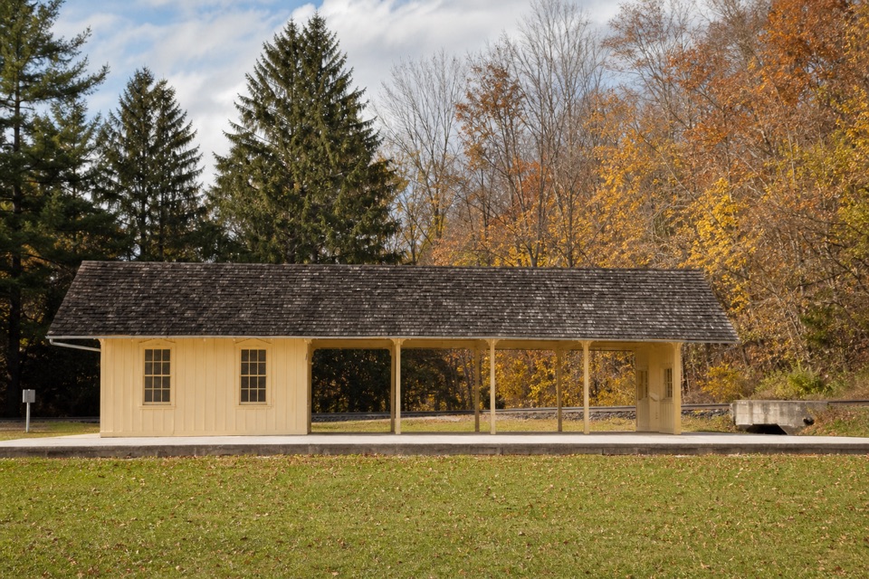
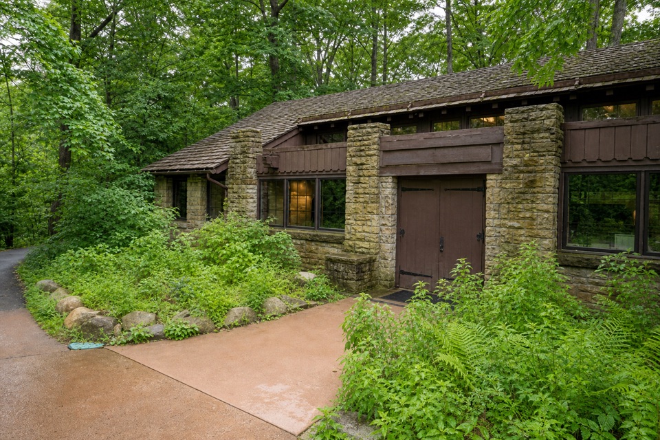
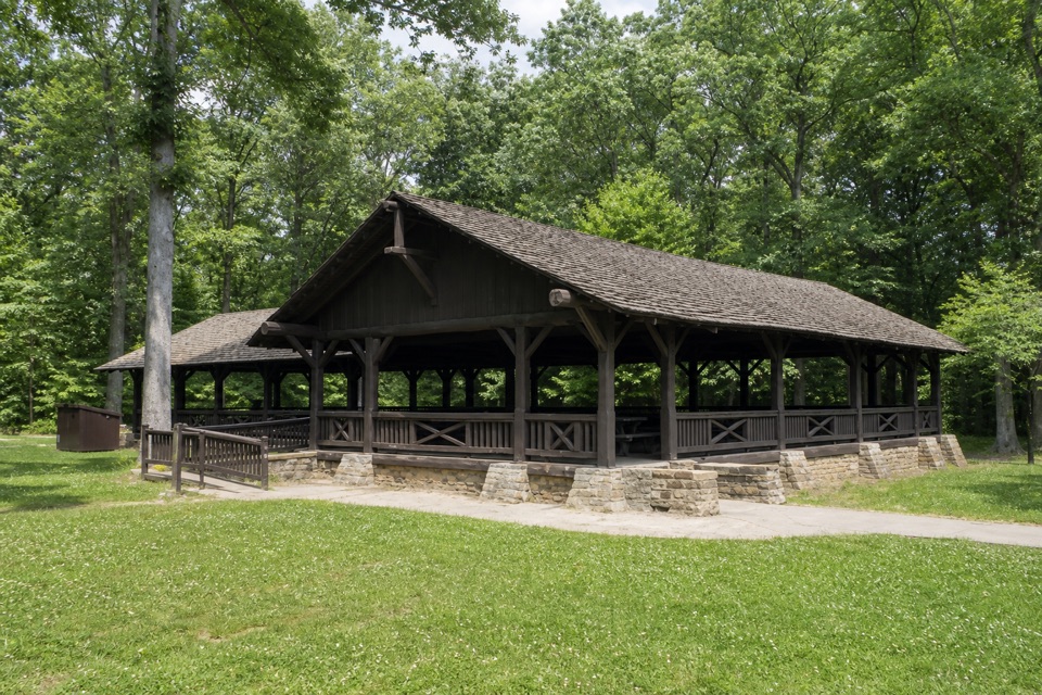
Lower Chippewa Creek Picnic Area is a small public picnic spot beside Chippewa Creek in Brecksville Reservation, along Chippewa Creek Drive between Route 82 and Valley Parkway. Come for an outdoor meal or a shaded break between walks. It’s a useful add-on to a day in Brecksville Reservation, not a major attraction on its own.

Bring your own foodParking, picnic tables and grills make this a straightforward place to eat outdoors.

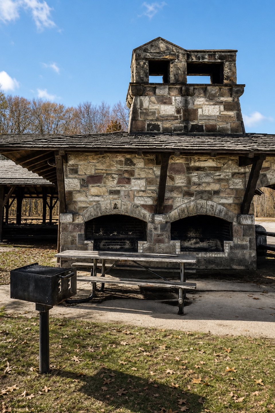
Parking, picnic tables and grills make this a straightforward place to eat outdoors. No food service is listed for the area, so bring what you want rather than counting on a café or snack counter.

Pair it with a nearby walkVisitors use the area as a starting or parking point for nearby paths.

Visitors use the area as a starting or parking point for nearby paths. Restroom and drinking water availability aren’t confirmed here, so check before building your plans around either.

Wildlife

Wildlife in Cuyahoga Valley

All Cuyahoga Valley wildlife maps

Sighting maps show where each species has been reported across Cuyahoga Valley. Wildlife moves, so no sighting is guaranteed.

Keep exploring

Near Lower Chippewa Creek Picnic Area

See it all on the map

Trails nearby

More stops nearby

Parkwolf’s Cuyahoga Valley ranking

Top sights in Cuyahoga Valley

All 88 places
  1. 1Brandywine FallsSight
  2. 2The LedgesSight
  3. 3Beaver MarshSight
  4. 4Blue Hen FallsSight
  5. 5Hale Farm & VillageSight
  6. 6Everett Covered BridgeSight

Take Parkwolf to Cuyahoga Valley.

The audio tour guide for the drive, plus offline maps, trails, and wildlife heatmaps for when the signal drops.

4.7 from 8,600+ ratings

Download Parkwolf on the App StoreGet Parkwolf on Google Play