Parking
Start at the Kulki day-use car park on Cape Tribulation Road. The southern access is at the Dubuji day-use area; arrange a pickup or return along the beach.

#10 of 22 trails in Daintree
Daintree National Park, QLD
A sandy coastal traverse joins Kulki and Dubuji access areas.
Overview
Map & elevation
Plan your hike

The highest, rockiest slopes around here are a summer buffet for grizzly bears.
Daintree Tour Guide
Parkwolf is a GPS audio tour guide for Daintree National Park. As you drive, it chimes in with what’s ahead: hidden gems, upcoming stops, history, geology, and wildlife, right through your car’s speakers.
See the Daintree audio tourRecorded for this trailhead
Cape Tribulation Beach and Kulki“You're coming up on Cape Tribulation Beach and the Kulki day-use area. I'd stop for the short boardwalk, where you get a view of rainforest-covered slopes running down to the beach and rocky headlands.”
Plays as you drive up to this trailhead in the Parkwolf Daintree Tour Guide.
More stories near here in the app
“Fantastic app with many points of information… It’s great to just turn on while you’re driving and it gives you an audio tour of the national Park. We love it!!!!”


Trail guide
Myall Beach Walk is a point-to-point link from Kulki in the north to Dubuji in the south, about 1.5 km (0.93 mi) one way. From Kulki, a steep Grade 3 track descends 350 m through coastal forest, then the route follows open sand rather than a fixed tread. Allow about 45 minutes one way; soft sand or high tide can make it slower. Arrange a pickup at Dubuji or retrace the route. Some listings bundle this link with the separate boardwalks, but that longer route and its return convention are unclear; this entry covers the documented beach connection.
High tides can cover lower beach sections. Crocodiles and marine stingers can be present year-round; stingers are more common in warmer months. Check tide times and park safety advice, and follow Crocwise guidance. Do not enter crocodile habitat. Pets are prohibited in Daintree National Park.
Both ends are reached by conventional vehicle. The Kulki descent and sandy connector are not wheelchair accessible. From Dubuji car park, a separate 370 m path reaches the beach; a Grade 1 boardwalk has a wheelchair-accessible beach-view section, though assistance may be needed.
Wildlife
 688 sightingsSouthern CassowaryMost seen around 5 PMSighting map
 1,788 sightingsSaltwater CrocodileMost seen around 4 PMSighting map
 242 sightingsSpectacled Flying-foxMost seen around 6 PMSighting map
 332 sightingsBoyd's Forest DragonMost seen around 10 AMSighting map
 46 sightingsVictoria's RiflebirdMost seen around 7 AMSighting map
 188 sightingsLace MonitorMost seen around 10 AMSighting map
Sighting maps show where each species has been reported across Daintree. Wildlife moves, so no sighting is guaranteed.
Keep exploring
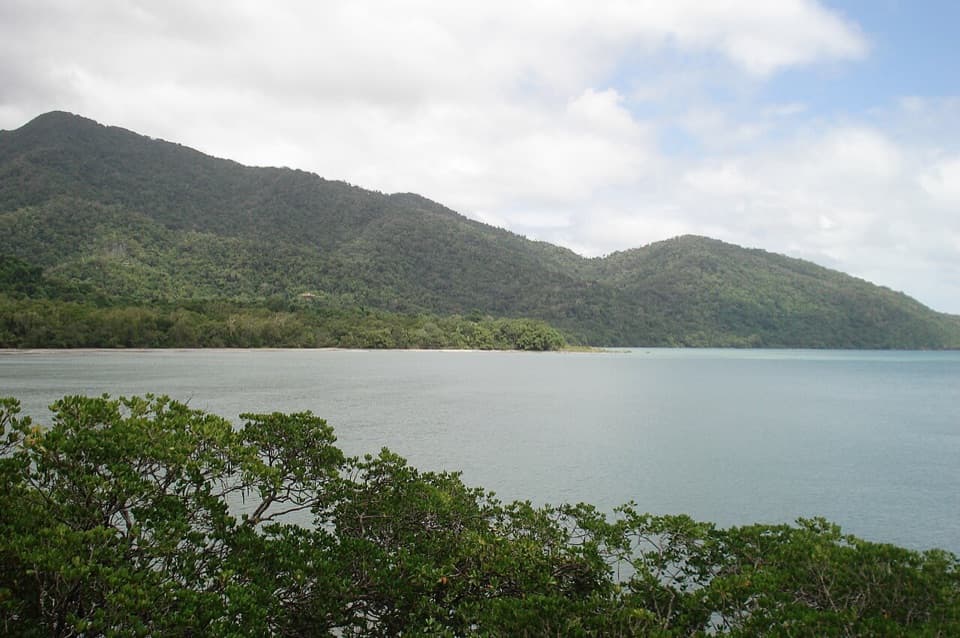 EasyKulki Boardwalk0.6 km · 15 min · At the trailheadA quick rainforest walk to Cape Tribulation’s coastal view.
 ModerateKulki Saddle Track to Myall Beach0.7 km · 30 min · At the trailheadA steep rainforest descent reaches Myall Beach
 ModerateCape Tribulation to Emmagen Creek Walk10 km · 5 hr · 0.1 km awayA low-tide rainforest beach walk to Emmagen’s rocky shore.
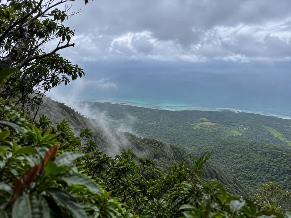 ChallengingMount Sorrow Ridge Trail7 km · 6 hr · 0.3 km awayA steep, rooty rainforest climb to a clear-day coastal lookout.
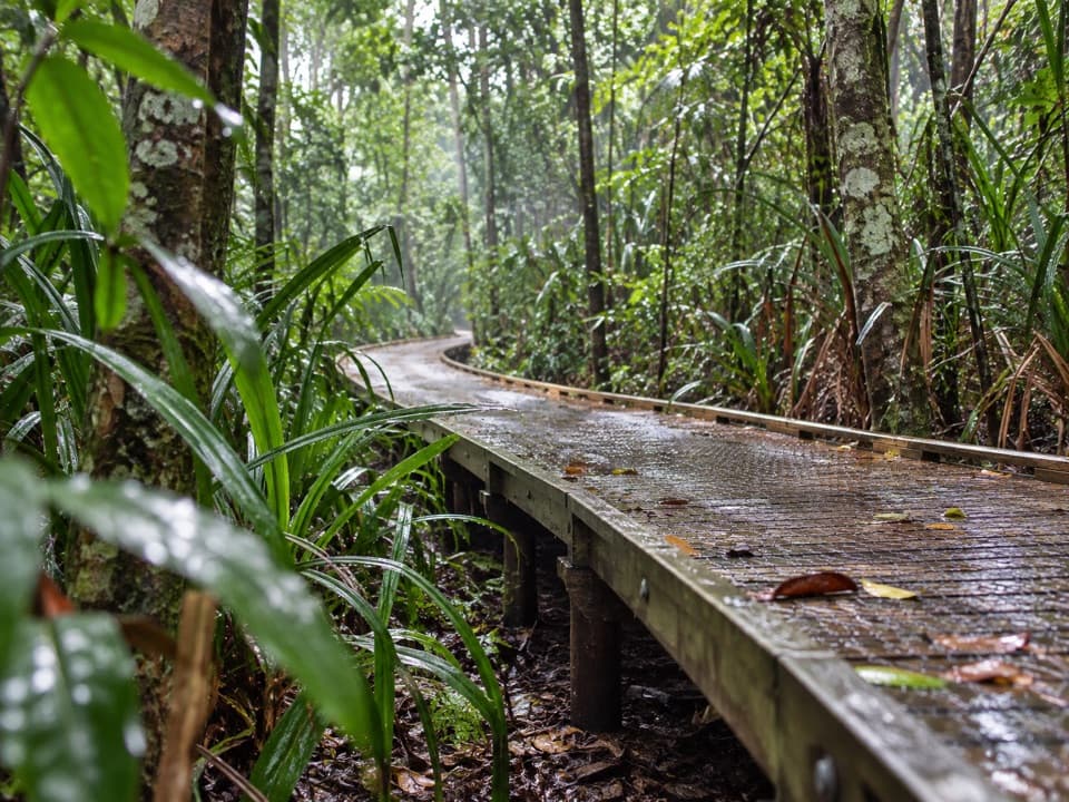 EasyDubuji Boardwalk1.5 km · 45 min · 1.5 km awayAn easy loop through palms, creeks and salty mangroves.EasyDubuji Myall Beach Track0.7 km · 20 min · 1.5 km awayA short rainforest-to-sand walk from the Dubuji hub.
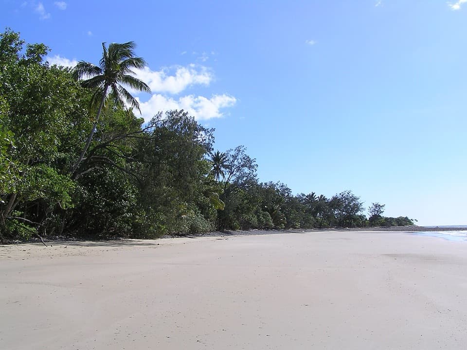 EasyEmmagen Beach Walk1.4 km · 45 min · 4.3 km awayA short marked track leads from rainforest to a sandy beach.
 EasyEmmagen Creek Walk0.8 km · 24 min · 4.4 km awayA quick rainforest walk to the upstream fork at Emmagen Creek.
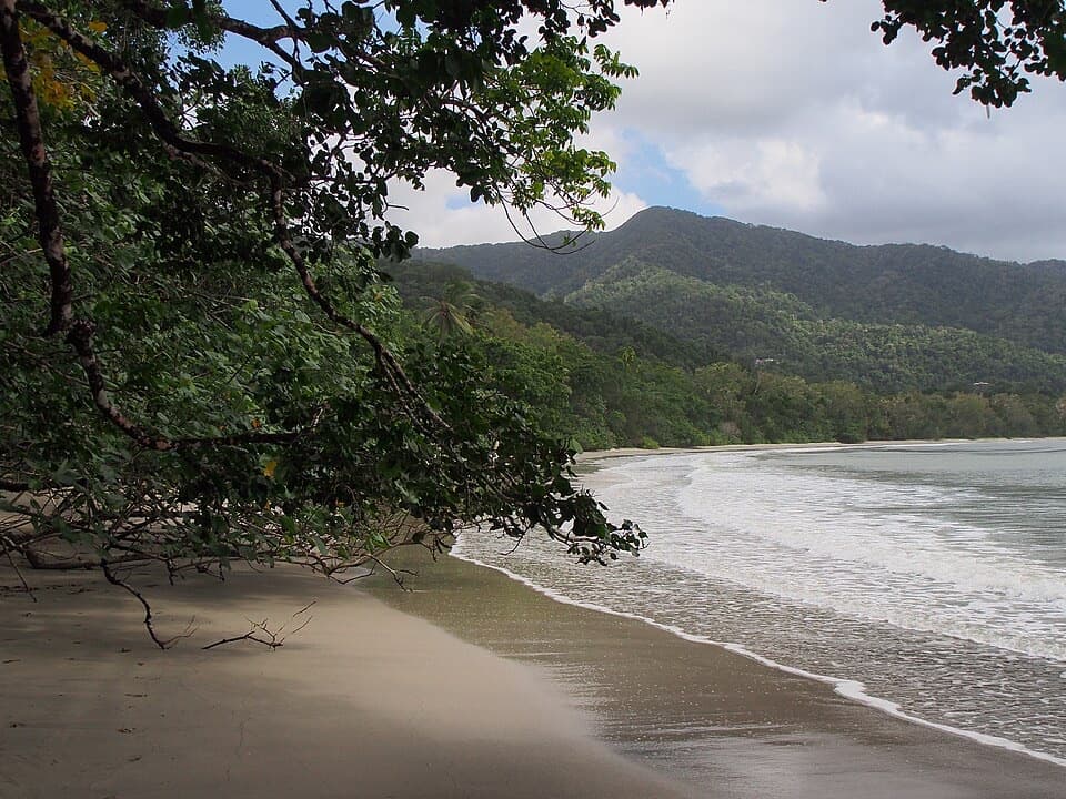 Beach · At the trailheadCape Tribulation Beach (Kulki)A short boardwalk opens onto a rainforest-framed beach and headland view.
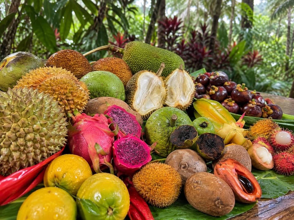 Sight · 1.1 km awayCape Trib FarmTry unfamiliar tropical fruit, then see how it grows.
 Sight · 1.2 km awayTreetops Adventure Cape TribulationNine ziplines take you 15 metres up into the rainforest canopy.
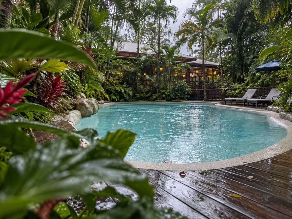 Lodging · 1.2 km awayPK’s Jungle VillageCabins, camping and a rainforest pool with a sociable bar.
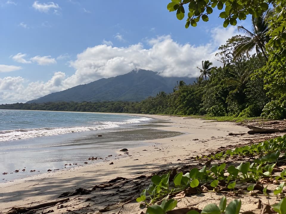 Beach · 1.3 km awayMyall BeachRainforest and palms meet the Coral Sea on open sand.
 Visitor center · 1.3 km awayCape Tribulation Bat HouseA small rainforest stop focused on flying fox conservation.
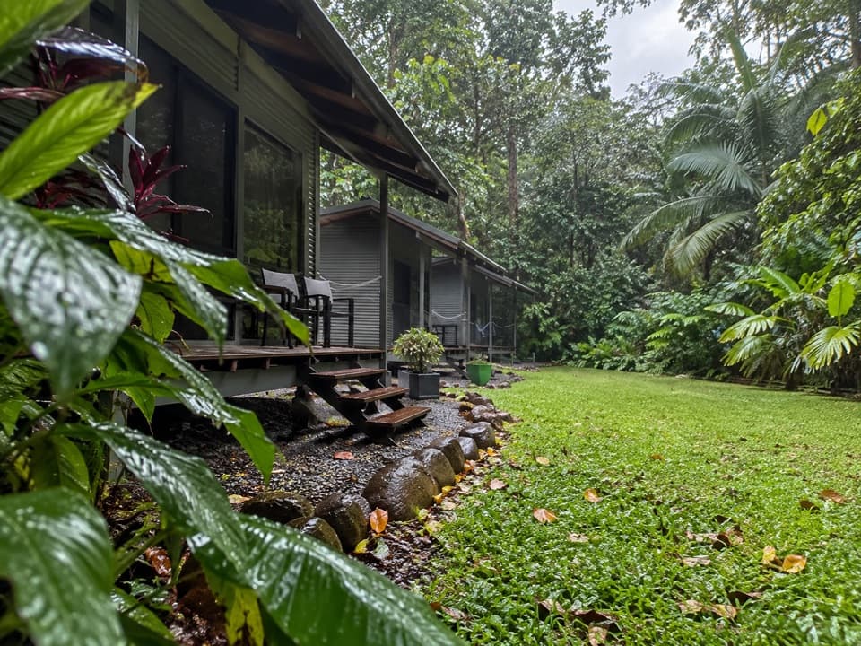 Campground · 1.4 km awaySafari Lodge and CampgroundAn overnight rainforest base with cabins, campsites and its own café.
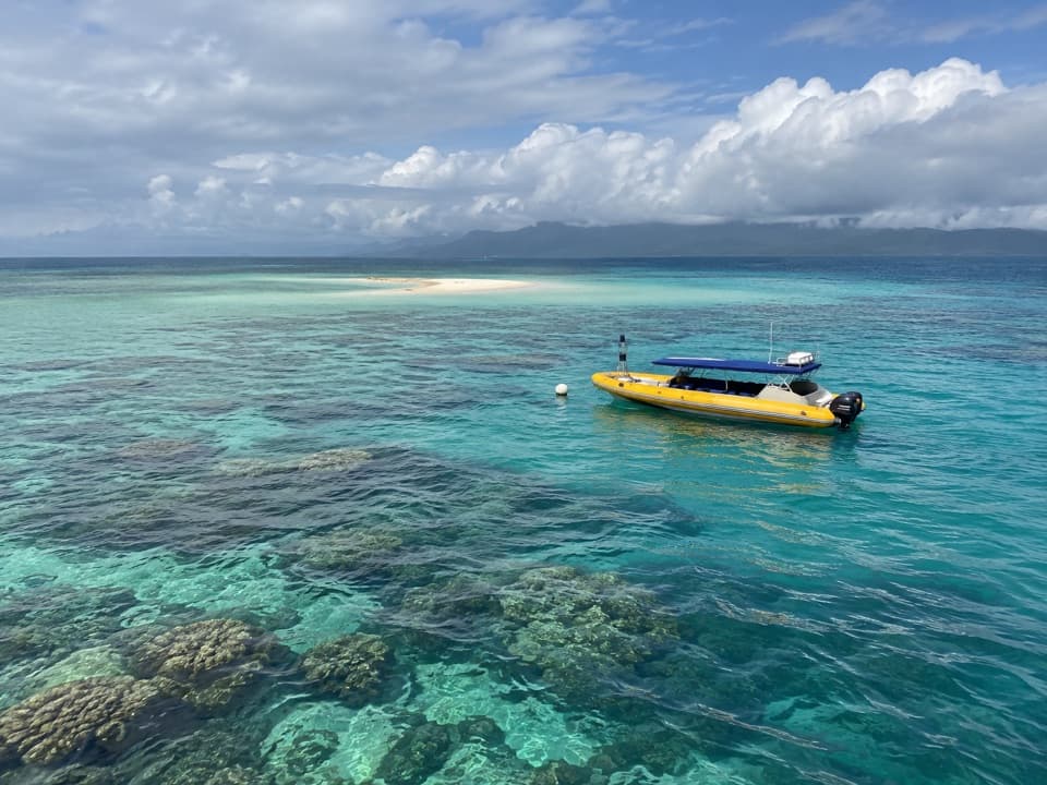 Sight · 1.4 km awayOcean SafariA half-day reef trip with guided snorkelling and rainforest views.
Parkwolf’s Daintree ranking

The audio tour guide for the drive, plus offline maps, trails, and wildlife heatmaps for when the signal drops.


