Parking
An informal roadside pull-off is described near the crossing; leave the through route clear and room for vehicles to pass and turn. No formal capacity or fee was found.

Daintree National Park, QLD
A quick rainforest walk to the upstream fork at Emmagen Creek.
Overview
Map & elevation
Plan your hike

The highest, rockiest slopes around here are a summer buffet for grizzly bears.
Daintree Tour Guide
Parkwolf is a GPS audio tour guide for Daintree National Park. As you drive, it chimes in with what’s ahead: hidden gems, upcoming stops, history, geology, and wildlife, right through your car’s speakers.
See the Daintree audio tourMore stories near here in the app
“Fantastic app with many points of information… It’s great to just turn on while you’re driving and it gives you an audio tour of the national Park. We love it!!!!”


Trail guide
Emmagen Creek Walk is a short out-and-back from the Bloomfield Track crossing to an upstream fork beside Emmagen Creek. The marked return route is listed at 0.8 km and about 24 minutes. The mapped footpath runs roughly 394 m each way, so this is a quick stop if you are already travelling the road; reaching the area takes longer than walking it.
The route follows a lightly marked, rough footpad through lowland rainforest to the creek-side fork. Visitors describe separate ways toward different water access points, but those informal branches are not clearly mapped, so the stored route ends at the fork. Expect uneven rocks near the water rather than a built boardwalk or a formal pool entrance.
The crossing sits north of Cape Tribulation on the unsealed Bloomfield Track. The official park map marks the road north of Emmagen Creek as 4WD-only; check current local road advice before continuing that way, especially after rain. Parking near the crossing is informal, so leave the through route clear and room for vehicles to pass and turn. Formal facilities at the trailhead were not found.
Emmagen Creek is not a designated or patrolled swimming area. The Wet Tropics Management Authority advises against swimming because crocodiles may frequent the creek, and Queensland Parks and Wildlife Service has not assessed it as safe. Stay out of the water, keep well back from the edge, and keep children and pets away. Rain can quickly change water level and visibility.
Wildlife
 688 sightingsSouthern CassowaryMost seen around 5 PMSighting map
 1,788 sightingsSaltwater CrocodileMost seen around 4 PMSighting map
 242 sightingsSpectacled Flying-foxMost seen around 6 PMSighting map
 332 sightingsBoyd's Forest DragonMost seen around 10 AMSighting map
 46 sightingsVictoria's RiflebirdMost seen around 7 AMSighting map
 188 sightingsLace MonitorMost seen around 10 AMSighting map
Sighting maps show where each species has been reported across Daintree. Wildlife moves, so no sighting is guaranteed.
Keep exploring
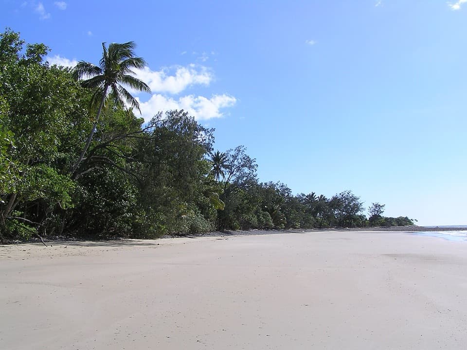 EasyEmmagen Beach Walk1.4 km · 45 min · 0.4 km awayA short marked track leads from rainforest to a sandy beach.
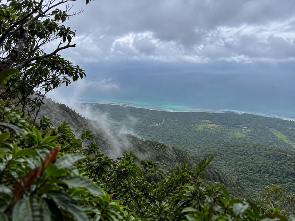 ChallengingMount Sorrow Ridge Trail7 km · 6 hr · 4.4 km awayA steep, rooty rainforest climb to a clear-day coastal lookout.
 ModerateMyall Beach Walk1.5 km · 45 min · 4.4 km awayA sandy coastal traverse joins Kulki and Dubuji access areas.
 ModerateCape Tribulation to Emmagen Creek Walk10 km · 5 hr · 4.4 km awayA low-tide rainforest beach walk to Emmagen’s rocky shore.
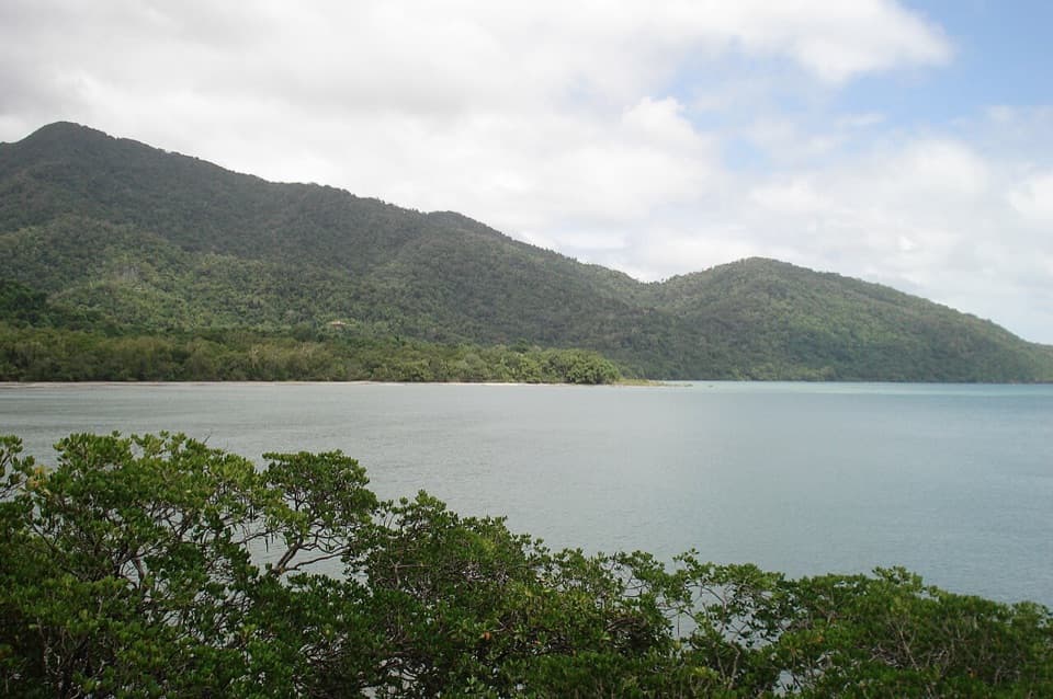 EasyKulki Boardwalk0.6 km · 15 min · 4.4 km awayA quick rainforest walk to Cape Tribulation’s coastal view.
 ModerateKulki Saddle Track to Myall Beach0.7 km · 30 min · 4.4 km awayA steep rainforest descent reaches Myall Beach
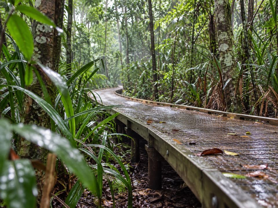 EasyDubuji Boardwalk1.5 km · 45 min · 5.5 km awayAn easy loop through palms, creeks and salty mangroves.EasyDubuji Myall Beach Track0.7 km · 20 min · 5.5 km awayA short rainforest-to-sand walk from the Dubuji hub.
 Sight · At the trailheadEmmagen CreekA short rainforest walk opens onto Emmagen’s rocky creek pools.
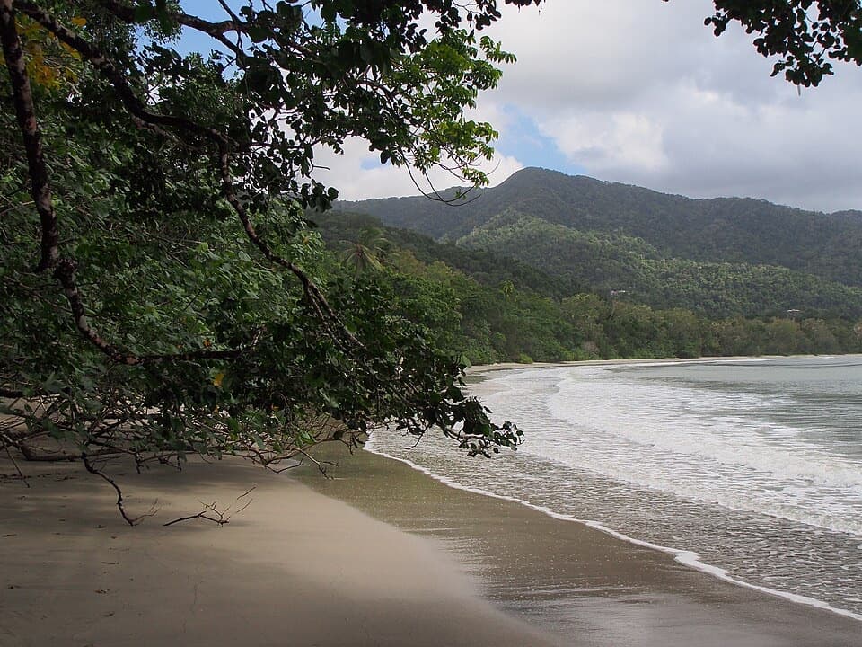 Beach · 4.4 km awayCape Tribulation Beach (Kulki)A short boardwalk opens onto a rainforest-framed beach and headland view.
 Sight · 4.5 km awayMount Sorrow LookoutA steep ridge climb earns Cape Tribulation and reef-shadow views.
 Sight · 4.9 km awayCape Trib FarmTry unfamiliar tropical fruit, then see how it grows.
 Sight · 5.2 km awayTreetops Adventure Cape TribulationNine ziplines take you 15 metres up into the rainforest canopy.
 Visitor center · 5.2 km awayCape Tribulation Bat HouseA small rainforest stop focused on flying fox conservation.
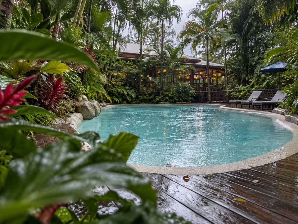 Lodging · 5.2 km awayPK’s Jungle VillageCabins, camping and a rainforest pool with a sociable bar.
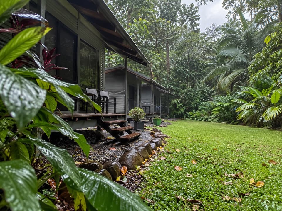 Campground · 5.3 km awaySafari Lodge and CampgroundAn overnight rainforest base with cabins, campsites and its own café.
Parkwolf’s Daintree ranking

The audio tour guide for the drive, plus offline maps, trails, and wildlife heatmaps for when the signal drops.


