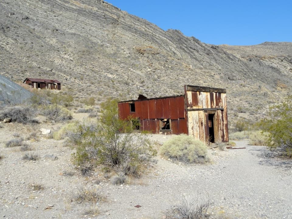
Parking
Use the shared Fall Canyon/Titus Canyon trailhead parking area behind the primitive restroom, about 2.6 miles up gravel Titus Canyon Road from its junction with Scotty's Castle Road.
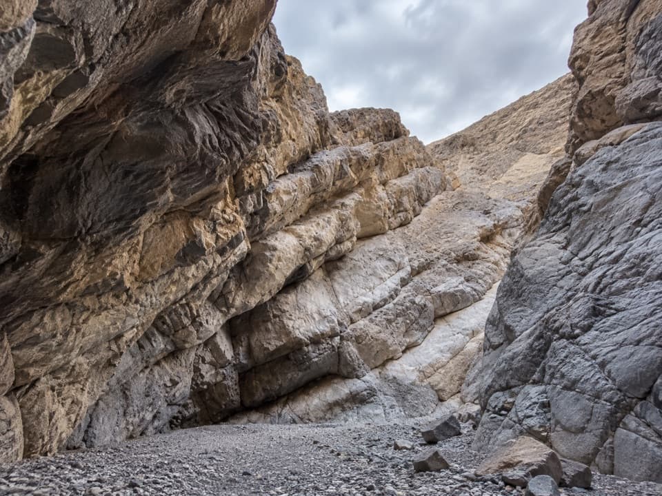
Death Valley National Park, CA · NV
A remote canyon day with two narrows and an 80-foot dryfall.
Overview
Map & elevation
Plan your hike

The highest, rockiest slopes around here are a summer buffet for grizzly bears.
Death Valley Tour Guide
Parkwolf is a GPS audio tour guide for Death Valley National Park. As you drive, it chimes in with what’s ahead: hidden gems, upcoming stops, history, geology, and wildlife, right through your car’s speakers.
See the Death Valley audio tourRecorded for this trailhead
Fall Canyon: A Hike into Striped Narrows“Fall Canyon's trailhead is coming up at the Titus Canyon parking area. This is a demanding six-mile round trip into striped narrows, taking about three and a half hours on rough, unmarked terrain.”
Plays as you drive up to this trailhead in the Parkwolf Death Valley Tour Guide.
More stories near here in the app
“Fantastic app with many points of information… It’s great to just turn on while you’re driving and it gives you an audio tour of the national Park. We love it!!!!”


Trail guide
Palmer Canyon to the 80-foot dryfall is an unofficial, unmarked backcountry out-and-back from the Fall Canyon/Titus Canyon trailhead. The full outing is about 8.8 miles round trip, with 4.4 miles each way to the turnaround. This is a full-day route for hikers comfortable navigating desert washes and ridges and scrambling on loose rock; allow roughly 7–9 hours. Most of the walk is across rough, open terrain rather than a maintained path, so the mapped line is a corridor, not turn-by-turn trail marking.
Start on the shared Fall Canyon approach. At about 0.7 mile, cross Fall Canyon Wash instead of continuing up Fall Canyon, then climb the opposite bank and work across the broken ridges and gullies of the Badlands. Faint use paths and occasional cairns help in places, but the line can fade or shift. A small crumbly arch and yellow hoodoos are among the unusual formations on this crossing.
Palmer Wash leads into the first narrows, where the gravel gets deep and slow underfoot. A 5–6-foot dryfall interrupts the slot; it can be scrambled by some hikers, but it is a real obstacle. The canyon tightens into a narrow passage, then opens after roughly 0.4 mile. Look back downcanyon toward the Cottonwood Mountains from the opening. If you stop for a photo in the first slot, include some gravel floor to show how tight the walls are.
The second narrows, around 2.7 miles from the start by the route account, are shorter and wider. A slick dryfall topped with boulders can stop hikers who are not confident scrambling. Beyond it, the wash opens toward brushy gorge country, with views of Mount Palmer and nearby peaks. The canyon takes its name from the mountain it leads toward.
The route ends at an 80-foot dryfall about 4.4 miles from the trailhead, at roughly 3,015 feet. From this side it is the natural limit of nontechnical travel. A north-ridge bypass is a separate, much more technical extension and is not included in this route. Do not commit to a dryfall unless you can manage it in both directions.
The trailhead is shared with Fall Canyon and has a primitive restroom. There is no marked Palmer Canyon trail, no confirmed food or water stop on the route, and pets are not permitted in this backcountry area. The approach depends on gravel Titus Canyon Road, so check park access conditions before setting out. The canyon washes are hazardous during flash floods.
Wildlife
 72 sightingsBighorn SheepMost seen around 6 PMSighting map
 101 sightingsDesert TortoiseMost seen around 8 AMSighting map
 466 sightingsCoyoteMost seen around 6 PMSighting map
 29 sightingsFeral BurroMost seen around 5 PMSighting map
 30 sightingsMule DeerMost seen around 7 PMSighting map
 65 sightingsKit FoxMost seen around 7 PMSighting map
Sighting maps show where each species has been reported across Death Valley. Wildlife moves, so no sighting is guaranteed.
Keep exploring
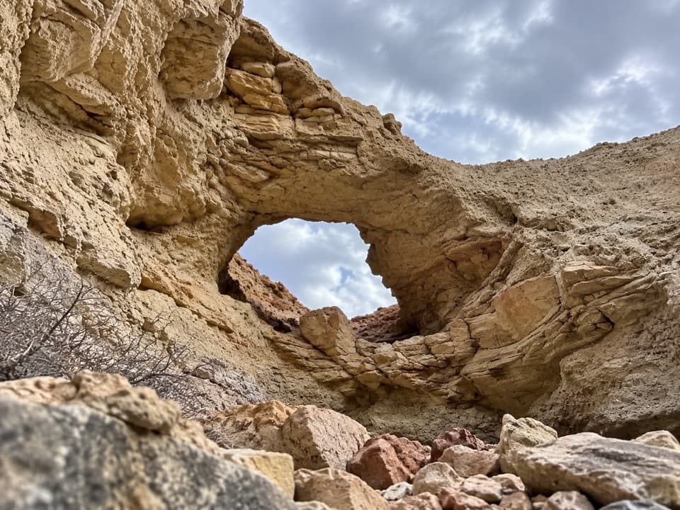 ChallengingLittle Arches Canyon7.2 mi · 6 hr · At the trailheadTwo arches and red narrows reward a hard, unmarked desert hike.
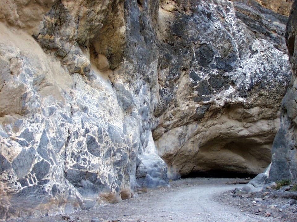 ModerateTitus Canyon Narrows4.9 mi · 3.5 hr · At the trailheadWalk the gravel canyon road as the walls close in around you.
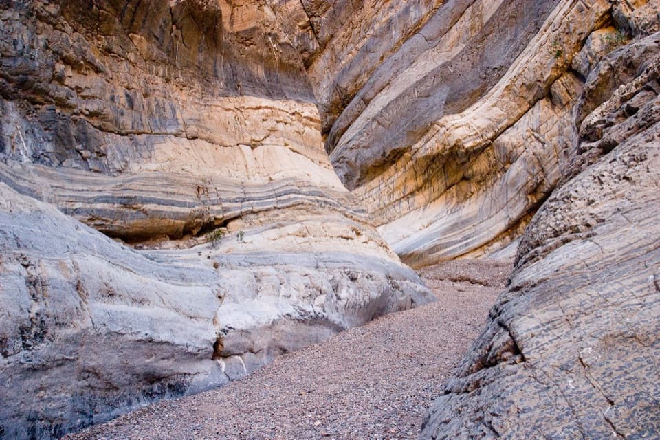 ChallengingFall Canyon6 mi · 3.5 hr · At the trailheadA desert fan gives way to tight, banded canyon narrows.
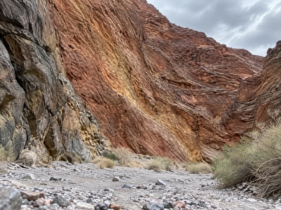 ChallengingRedwall Canyon5.8 mi · 5.5 hr · 3 mi awayA long, rough fan walk ends in folded red canyon walls.
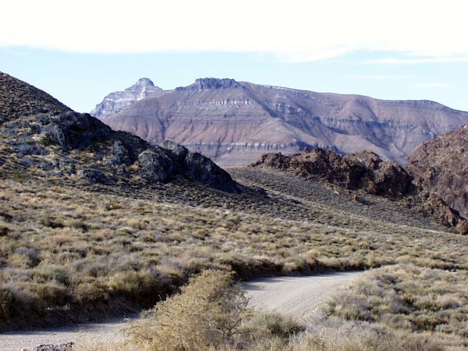 ChallengingThimble Peak Hike3.1 mi · 4.5 hr · 7.9 mi awayA short summit route with a steep, loose scramble at the top.
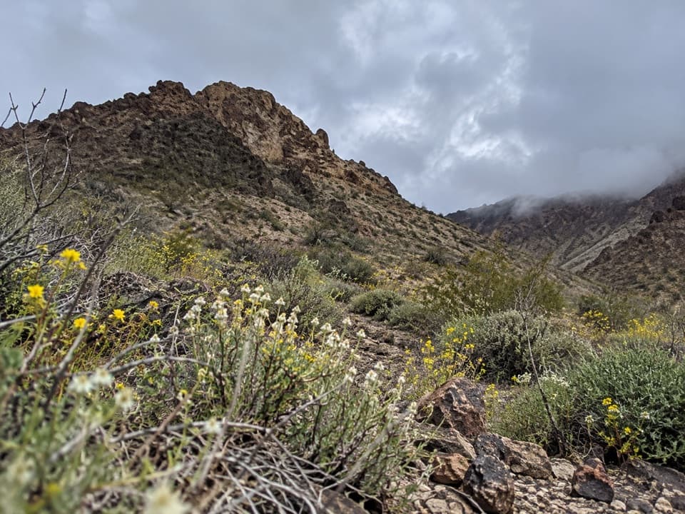 ModerateTitanothere Canyon to Lostman Spring9 mi · 7.5 hr · 8.4 mi awayA remote, trail-less wash walk to Lostman Spring.
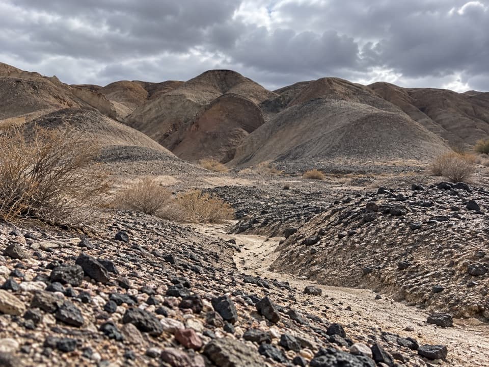 ModerateKit Fox Hills Trail5.3 mi · 4 hr · 12 mi awayA rough cross-country route through dark gravel washes.
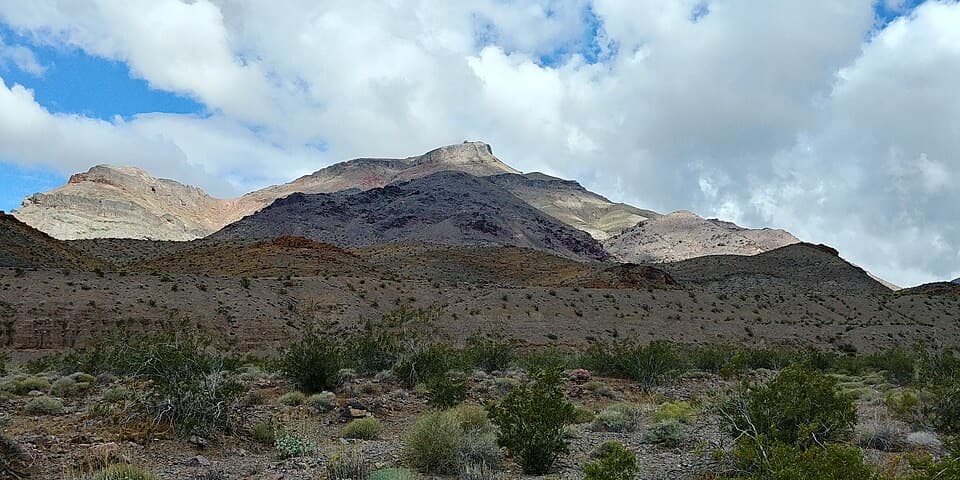 ChallengingCorkscrew Peak7.1 mi · 5.5 hr · 12.7 mi awayA rough, unmarked summit climb with a sweeping Death Valley view.
Parkwolf’s Death Valley ranking

The audio tour guide for the drive, plus offline maps, trails, and wildlife heatmaps for when the signal drops.