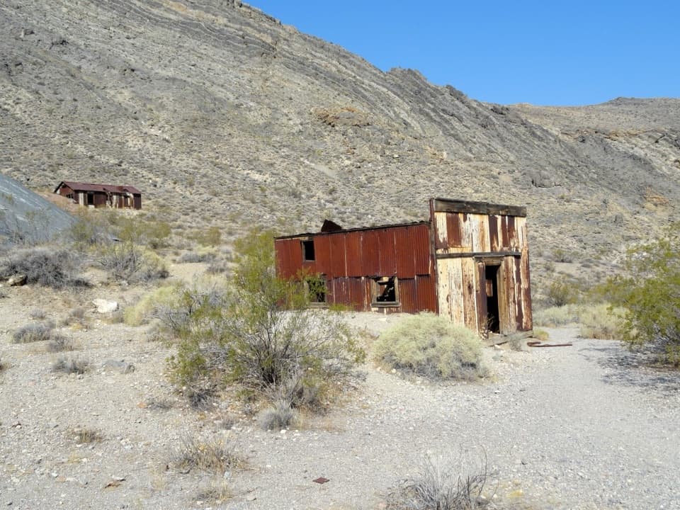
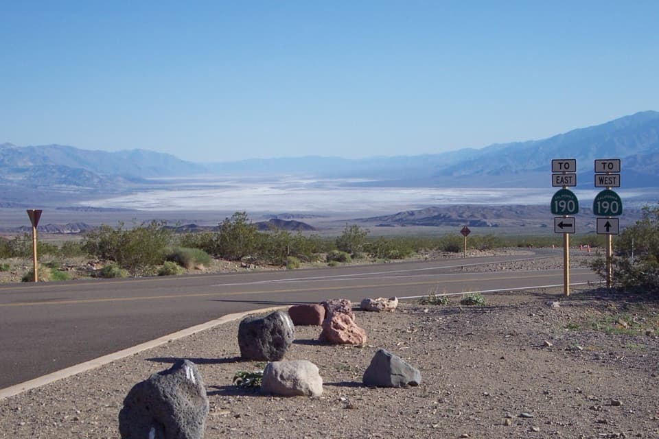
Parking
Pull fully off Titus Canyon Road where it crosses the second Titanothere Canyon drainage fork; do not block the road. A high-clearance vehicle is required.
Death Valley National Park, CA · NV
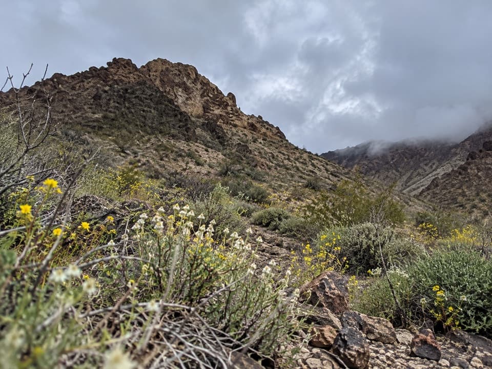
A remote, trail-less wash walk to Lostman Spring.
Overview
Map & elevation
Plan your hike

The highest, rockiest slopes around here are a summer buffet for grizzly bears.
Death Valley Tour Guide
Parkwolf is a GPS audio tour guide for Death Valley National Park. As you drive, it chimes in with what’s ahead: hidden gems, upcoming stops, history, geology, and wildlife, right through your car’s speakers.
See the Death Valley audio tourMore stories near here in the app
“Fantastic app with many points of information… It’s great to just turn on while you’re driving and it gives you an audio tour of the national Park. We love it!!!!”


Trail guide
Titanothere Canyon to Lostman Spring is a roughly 9-mile out-and-back, about 4.5 miles down to the spring before you return the same way. The route follows a gravel wash and cross-country terrain; there is no built trail. It is moderately strenuous, with about 1,700 feet of climbing on the way back. Allow around 7½ hours and choose it only if you are comfortable finding your way without a signed route.
Begin where Titus Canyon Road crosses the second fork of Titanothere Canyon. The road approaches from the east and is one-way through the canyon; a high-clearance vehicle is required. Pull fully off the road and do not block it. This hike turns around at the spring. Continuing through to Scotty's Castle Road is a separate 12-mile, one-way route that needs a two-car shuttle. Pets are restricted to roads and developed areas, so they cannot join this off-road wash hike.
Lostman Spring may be dry or contaminated, so bring the water you need and do not plan to refill there. In hot months, Death Valley hiking guidance calls for at least a gallon of water per person per day. Flash floods are a serious canyon hazard; stay out when rain threatens.
The upper canyon has colorful fossil-bearing beds dated to 30–35 million years ago. A huge, rhino-like titanotheres skull was found here in 1933. The spring route explores the lower reaches, so this is the wider canyon's backstory rather than a landmark at the turnaround.
Wildlife
 72 sightingsBighorn SheepMost seen around 6 PMSighting map
 101 sightingsDesert TortoiseMost seen around 8 AMSighting map
 466 sightingsCoyoteMost seen around 6 PMSighting map
 29 sightingsFeral BurroMost seen around 5 PMSighting map
 30 sightingsMule DeerMost seen around 7 PMSighting map
 65 sightingsKit FoxMost seen around 7 PMSighting map
Sighting maps show where each species has been reported across Death Valley. Wildlife moves, so no sighting is guaranteed.
Keep exploring
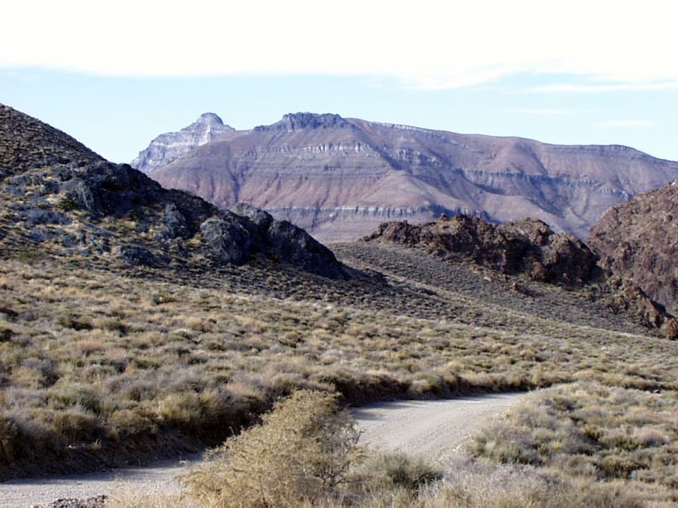 ChallengingThimble Peak Hike3.1 mi · 4.5 hr · 0.6 mi awayA short summit route with a steep, loose scramble at the top.
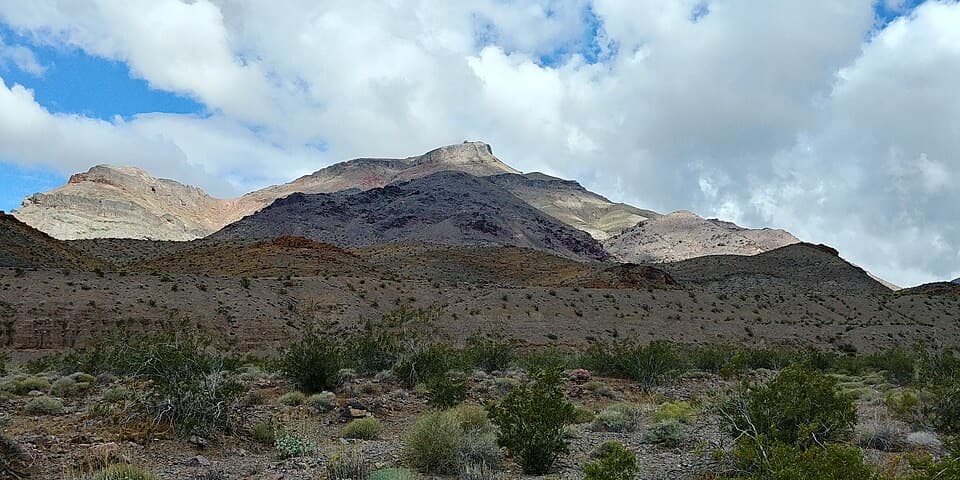 ChallengingCorkscrew Peak7.1 mi · 5.5 hr · 7 mi awayA rough, unmarked summit climb with a sweeping Death Valley view.
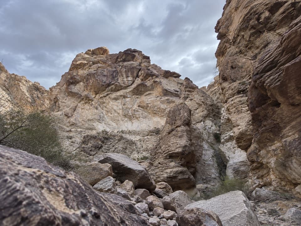 ChallengingLower Monarch Canyon Trail6.4 mi · 5 hr · 8.3 mi awayA long desert wash reaches a canyon waterfall in folded rock.
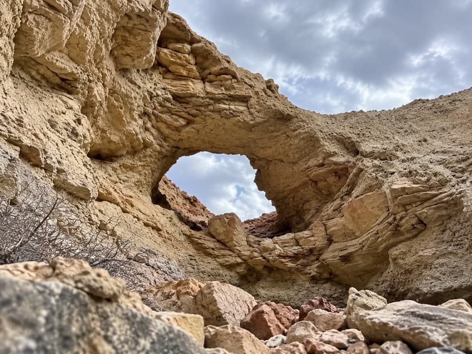 ChallengingLittle Arches Canyon7.2 mi · 6 hr · 8.4 mi awayTwo arches and red narrows reward a hard, unmarked desert hike.
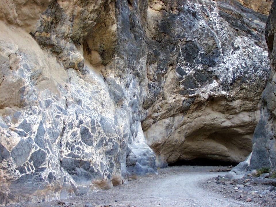 ModerateTitus Canyon Narrows4.9 mi · 3.5 hr · 8.4 mi awayWalk the gravel canyon road as the walls close in around you.
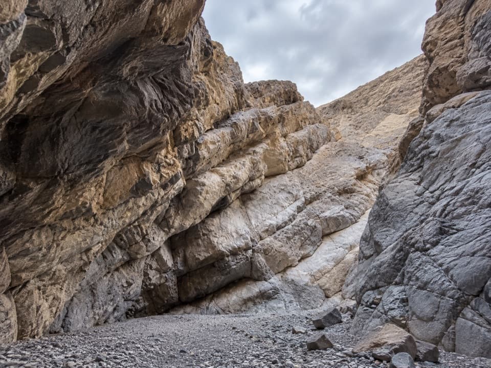 ChallengingPalmer Canyon to the 80-Foot Dryfall8.8 mi · 8 hr · 8.4 mi awayA remote canyon day with two narrows and an 80-foot dryfall.
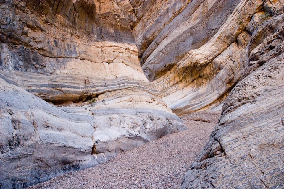 ChallengingFall Canyon6 mi · 3.5 hr · 8.4 mi awayA desert fan gives way to tight, banded canyon narrows.
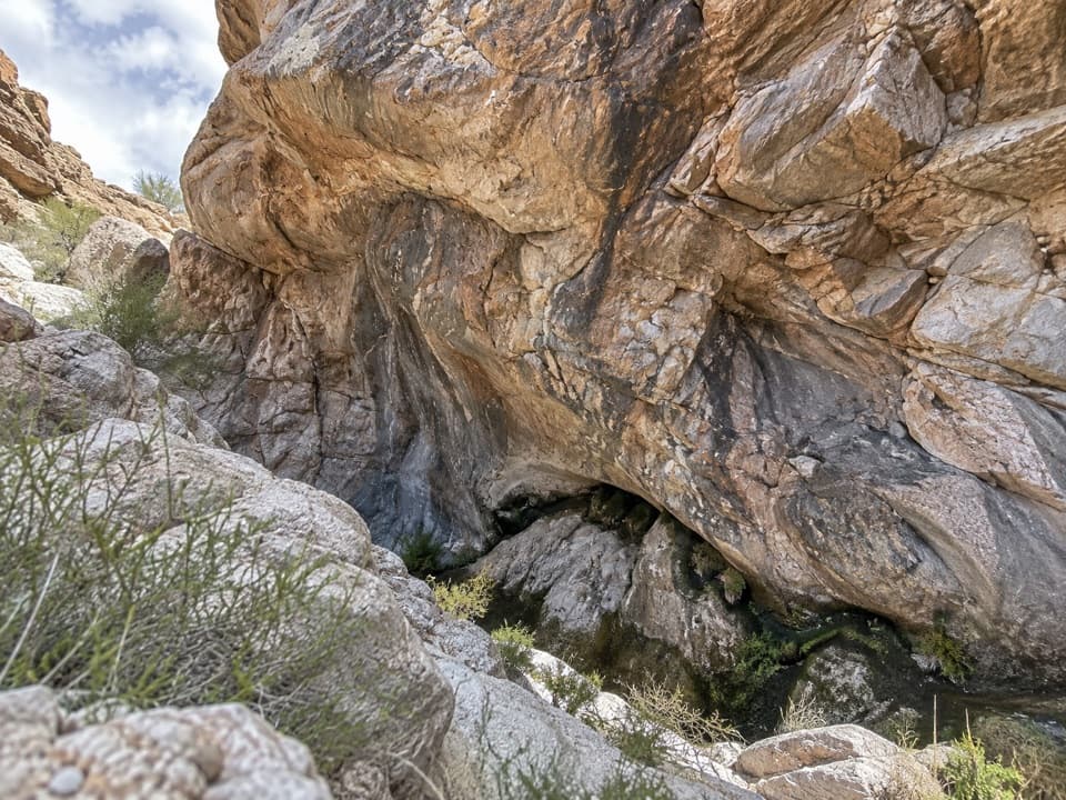 ModerateUpper Monarch Canyon Trail2.3 mi · 2.5 hr · 8.9 mi awayA rugged descent to an old mill and a hidden desert spring.
Parkwolf’s Death Valley ranking

The audio tour guide for the drive, plus offline maps, trails, and wildlife heatmaps for when the signal drops.