Parking
No signed trailhead or designated lot is documented. The mapped west end meets Scotty’s Castle Road and the east end meets the Beatty Road corridor. Arrange a shuttle, and confirm legal roadside parking and current access with the park.
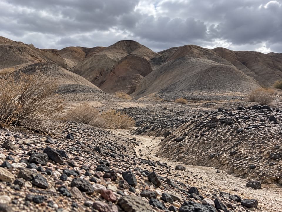
Death Valley National Park, CA · NV
A rough cross-country route through dark gravel washes.
Overview
Map & elevation
Plan your hike

The highest, rockiest slopes around here are a summer buffet for grizzly bears.
Death Valley Tour Guide
Parkwolf is a GPS audio tour guide for Death Valley National Park. As you drive, it chimes in with what’s ahead: hidden gems, upcoming stops, history, geology, and wildlife, right through your car’s speakers.
See the Death Valley audio tourRecorded for this area
Water That Leaves a Vein“A pale seam cutting through darker rock may mark a crack that water once traveled through. Deep underground, hot water can dissolve minerals as it circulates through rock.”
Plays near this trailhead in the Parkwolf Death Valley Tour Guide.
More stories near here in the app
“Fantastic app with many points of information… It’s great to just turn on while you’re driving and it gives you an audio tour of the national Park. We love it!!!!”


Trail guide
Kit Fox Hills Trail is a 5.34-mile point-to-point route, climbing east through low, dark gravel hills from Scotty’s Castle Road to the Beatty Road corridor. This is the mapped traverse across the hills, not the separate scramble to the Kit Fox Hills highpoint. It’s an informal route with no maintained tread, so go for a map-led desert walk, not a signed hiking path. Allow about four hours, and plan a shuttle: 5.34 miles is the one-way distance.
The hills are cut by broad washes that provide the natural way through the gravel. A visitor account describes an easy lower slope and an old mining-road trace in one wash, but reports no maintained or marked routes through the hills. Expect loose, uneven footing and use the mapped line for navigation. The sampled profile gains about 1,470 feet overall. Walking back the same way would make this roughly a 10.7-mile outing.
As the route climbs, the Grapevine Mountains come into view. The setting is mostly bare rock and dirt, with the wash bends and ridges doing the scenic work. Late-afternoon light picks out the shape of the hills and their shadows; take time to look back across the desert as you gain height.
No signed trailhead or designated parking area is documented. The mapped ends meet the Scotty’s Castle Road and Beatty Road corridors, so arrange a shuttle and confirm legal roadside parking and current road access with the park before setting out. Pets are limited to developed areas and listed roads in the park, so this cross-country route is not for dogs. No water or facilities were found along the route; plan to carry what you need.
Wildlife
 72 sightingsBighorn SheepMost seen around 6 PMSighting map
 101 sightingsDesert TortoiseMost seen around 8 AMSighting map
 466 sightingsCoyoteMost seen around 6 PMSighting map
 29 sightingsFeral BurroMost seen around 5 PMSighting map
 30 sightingsMule DeerMost seen around 7 PMSighting map
 65 sightingsKit FoxMost seen around 7 PMSighting map
Sighting maps show where each species has been reported across Death Valley. Wildlife moves, so no sighting is guaranteed.
Keep exploring
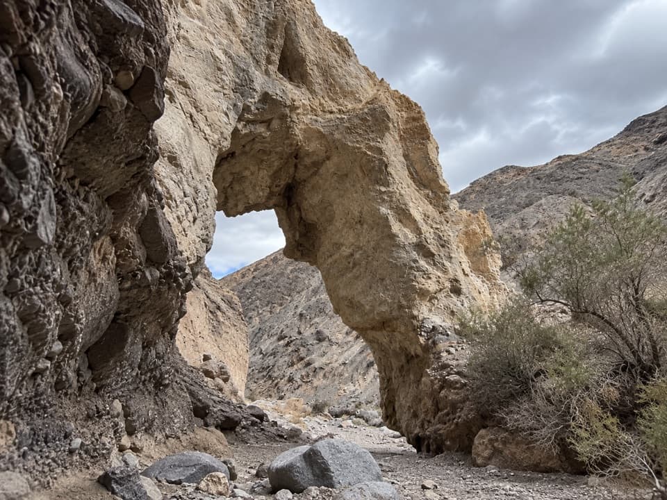 ChallengingLittle Bridge Canyon7 mi · 5 hr · 4.9 mi awayA pale natural bridge in a rugged, unmarked Death Valley canyon.
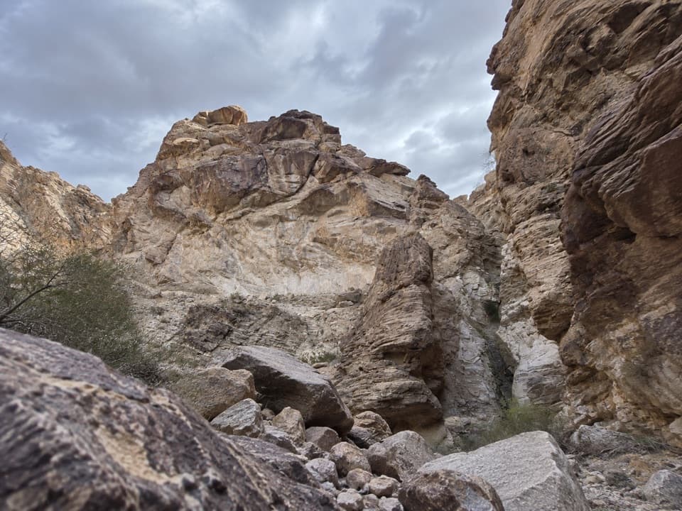 ChallengingLower Monarch Canyon Trail6.4 mi · 5 hr · 6.3 mi awayA long desert wash reaches a canyon waterfall in folded rock.
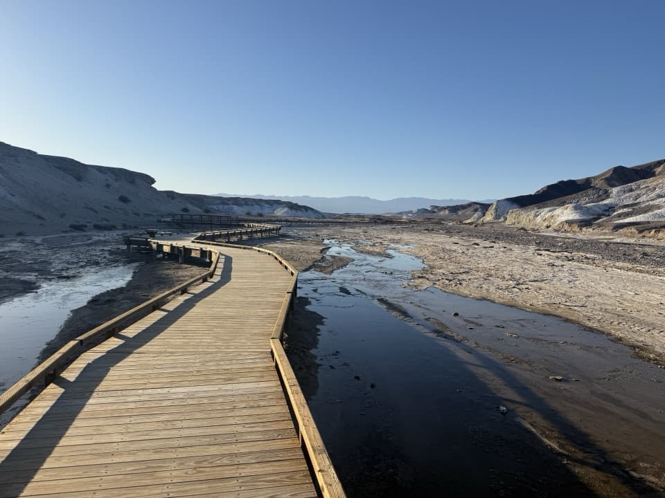 EasySalt Creek Interpretive Trail0.8 mi · 30 min · 7.1 mi awayA short boardwalk puts endemic pupfish in view.
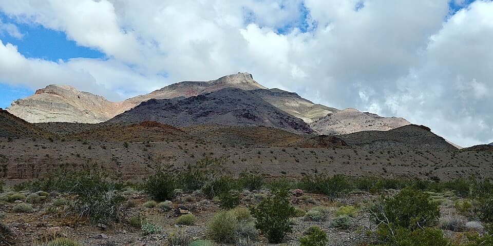 ChallengingCorkscrew Peak7.1 mi · 5.5 hr · 7.2 mi awayA rough, unmarked summit climb with a sweeping Death Valley view.
 ModerateMosaic Canyon4 mi · 2.8 hr · 7.8 mi awayPolished marble narrows lead to a dryfall amphitheater.
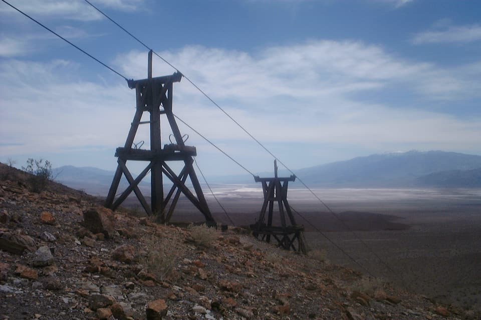 ChallengingKeane Wonder Mine Trail2.8 mi · 3 hr · 9.1 mi awayA steep 1,500-foot climb to Death Valley's old gold-mine tramway.
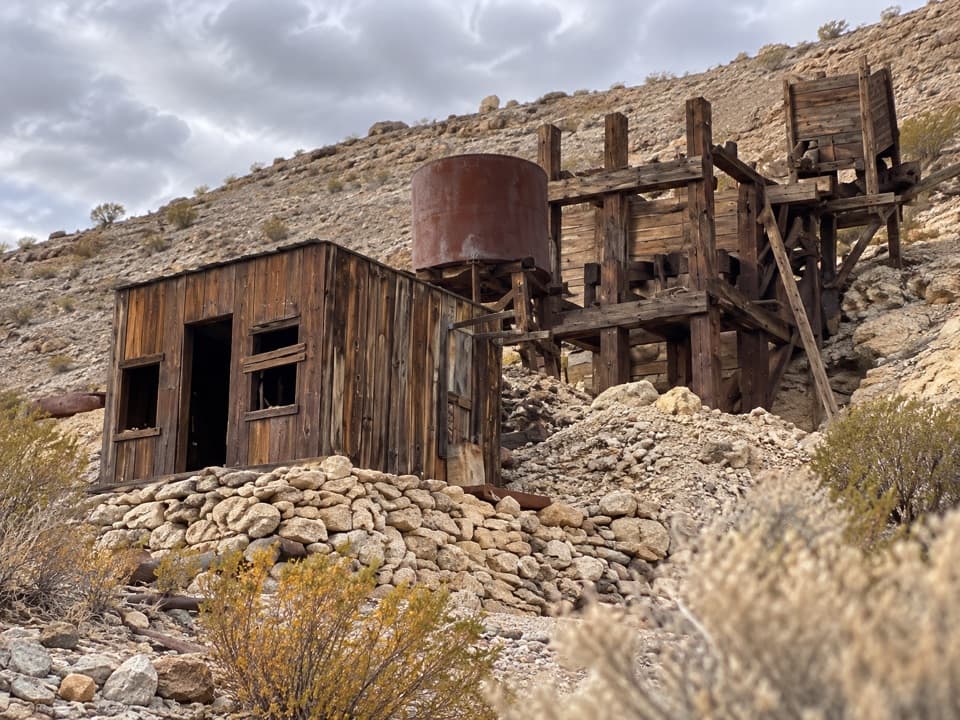 ModerateKeane Spring and John Cyty’s Cabin and Mill Trail3.6 mi · 2.5 hr · 9.1 mi awayA faint desert walk to a spring, cabin, and old stamp mill
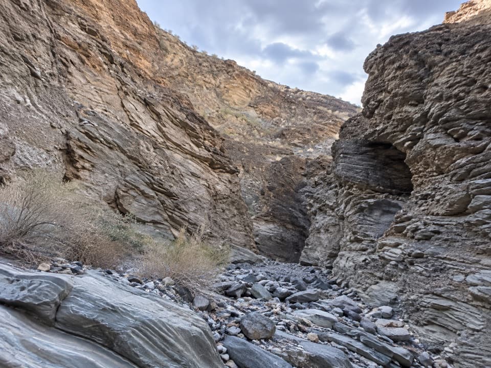 ModerateLower Stretched Pebble Canyon2.7 mi · 3 hr · 9.2 mi awayA rough desert approach to canyon walls of flattened rock.
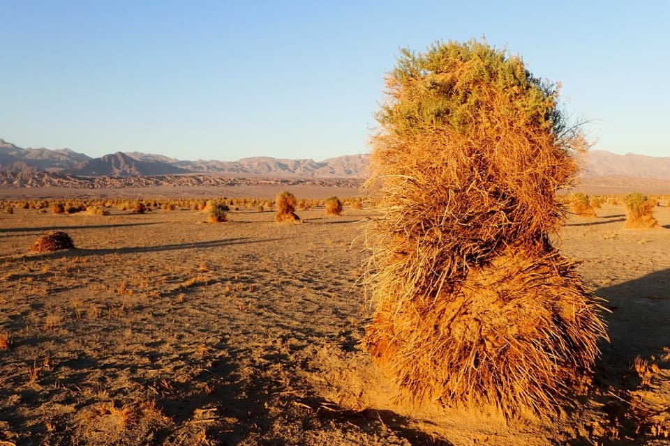 Sight · 3.6 mi awayDevil's CornfieldA brief roadside look at Death Valley's corn-like arrowweed clumps.
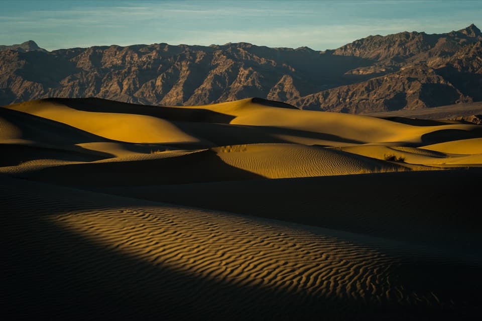 Sight · 4.9 mi awayMesquite Flat Sand DunesClimb the dunes when low sun draws out their ripples.
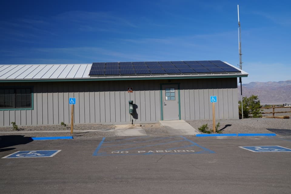 Ranger station · 5.8 mi awayStovepipe Wells Ranger StationA ranger contact stop on the CA-190 drive.
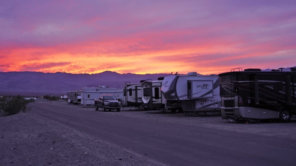 Campground · 5.9 mi awayStovepipe Wells RV ParkA 14-site full-hookup RV park with village pool access.
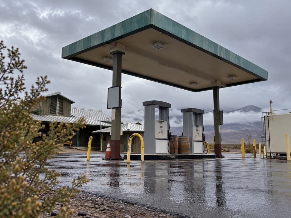 Gas station · 5.9 mi awayStovepipe Wells Gas StationA useful refueling stop where the next station is far away.
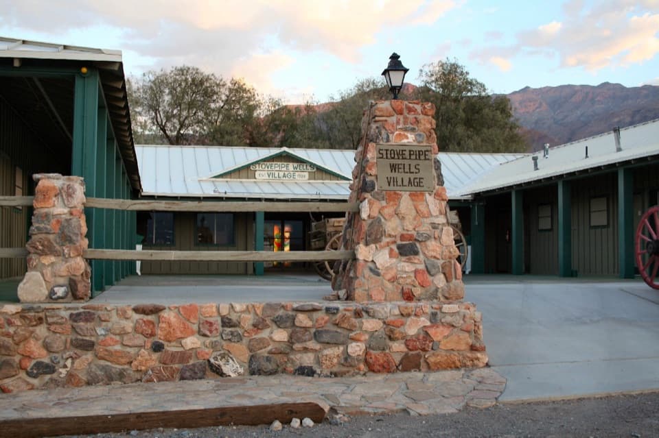 Lodging · 5.9 mi awayStovepipe Wells VillageA practical stop to refuel, eat and stay near the dunes.
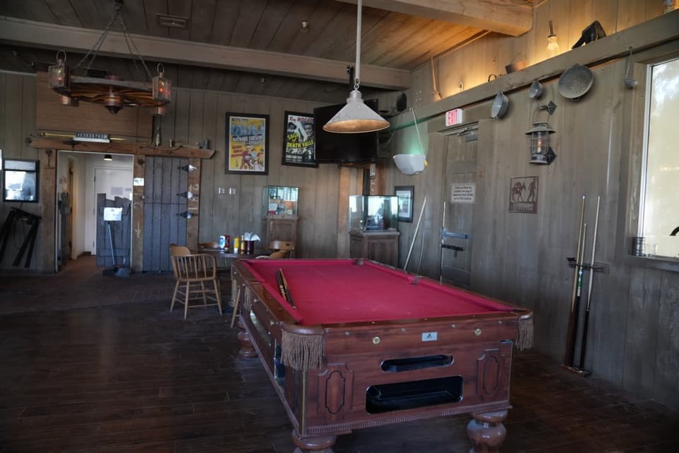 Restaurant · 5.9 mi awayBadwater SaloonA full bar and a sit-down meal at Stovepipe Wells.
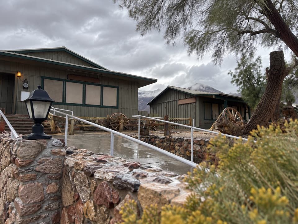 Restaurant · 5.9 mi awayToll Road RestaurantA sit-down meal stop on CA-190 at Stovepipe Wells.
Parkwolf’s Death Valley ranking

The audio tour guide for the drive, plus offline maps, trails, and wildlife heatmaps for when the signal drops.



