Thimble Peak Hike in Death Valley National Park

Death Valley National Park, CA · NV

Thimble Peak Hike

A short summit route with a steep, loose scramble at the top.

Photo: National Park Service, public domain, via National Archives and Wikimedia Commons

Length
3.1mi
Time
4.5hr
Elev. change
1,061ft
Difficulty
Challenging
  • No dogs
  • High point 6,318 ft
  • #27 of 57 in Death Valley
Parkwolf audio tour228 stories across Death Valley’s roads

Overview

About Thimble Peak Hike

Why go

  • A distinctive summit with wide views across Death Valley and Nevada.

Heads up

  • The final climb is steep, loose and partly exposed.
  • The rough, one-way road approach is long and weather-sensitive.

Map & elevation

The route

Loading the Death Valley map
Full map
Elevation5,257–6,318 ft
TrailheadRed Pass, Titus Canyon Road36.82876, -117.03243
Keep this map with you offline in the Parkwolf app

Plan your hike

Before you go

Parking

Use the small roadside turnout on the south or southwest side of Red Pass; this is not a developed lot. Titus Canyon Road is about 27 miles from Nevada Highway 374, rough, steep and narrow, with a one-way eastern section. A high-clearance vehicle is recommended, and four-wheel drive may be needed after adverse weather. Turnouts are limited.

Safety

The summit approach includes loose rock and partly exposed scrambling. Summer daytime heat can make this exposed climb dangerous. Pets are prohibited on park trails and in the backcountry.

4 active Death Valley alerts

  • ClosureRoad closures and hazardous conditionsSeveral park roads are closed or hazardous; follow closures and vehicle restrictions.Official details
  • ClosureSaline Valley Lower Springs closed after wildfireLower Springs pools at Saline Valley Warm Springs remain closed because the September 15 wildfire left safety hazards, including potential hazardous chemicals; do not enter the closed area.Official details
See all 4 alerts
A park ranger sits on a dash-mounted phone, talking, as Parkwolf’s Tour Guide plays “Army Cutworm Moths: A Grizzly Bear Buffet” on Grand Loop Road below Dunraven Pass in Yellowstone
Parkwolf Tour GuideThe highest, rockiest slopes around here are a summer buffet for grizzly bears.

Death Valley Tour Guide

Your drive to Thimble Peak Hike, narrated.

Parkwolf is a GPS audio tour guide for Death Valley National Park. As you drive, it chimes in with what’s ahead: hidden gems, upcoming stops, history, geology, and wildlife, right through your car’s speakers.

See the Death Valley audio tour
  • 228 audio storiesacross Death Valley’s roads, triggered by GPS as you drive
  • Wildlife heatmapsfor Bighorn Sheep, Desert Tortoise, Coyote, and 13 more
  • Works offlinemaps, 57 trails, 81 places, and audio download before you lose signal
  • CarPlay readysimple controls built for the drive
★★★★★
“Fantastic app with many points of information… It’s great to just turn on while you’re driving and it gives you an audio tour of the national Park. We love it!!!!”
JMJamesApp Store review
Download Parkwolf on the App StoreGet Parkwolf on Google Play

4.7 from 8,600+ ratings

Trail guide

Hiking Thimble Peak Hike

A short route with a serious finishThimble Peak Hike is an out-and-back from Red Pass to the 6,381-foot summit of the southern…

Thimble Peak Hike is an out-and-back from Red Pass to the 6,381-foot summit of the southern Grapevine Mountains. The mapped path is about 1.53 miles each way, or 3.1 miles round trip. A longer five-mile estimate is also published, while the park's route description gives no mileage; the final scramble has no precise tread, so your GPS distance may run longer. Allow about four to five hours for the climb, the up-and-down ridges and the summit finish. Red Pass sits at 5,250 feet, so the summit is 1,131 feet higher, with extra climbing over the rolling route.

Across the ridgesStart on the south side of the road cut at Red Pass and climb south over rounded ridges.

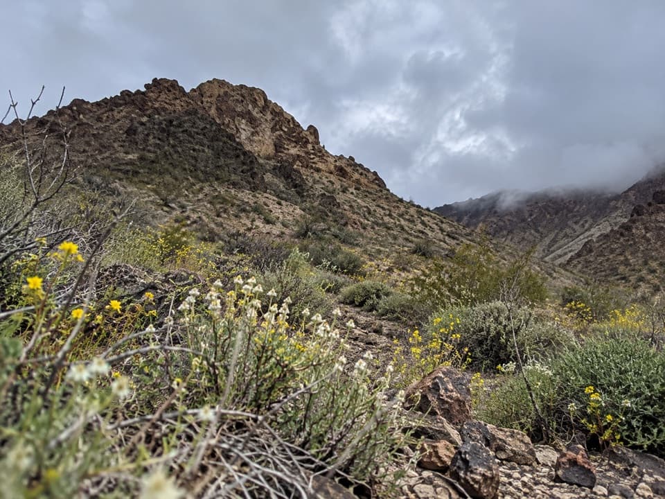
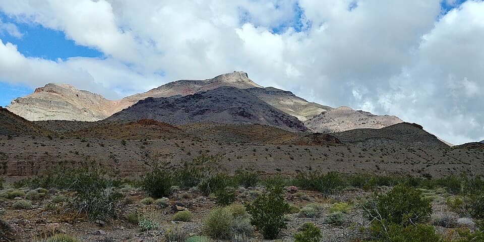
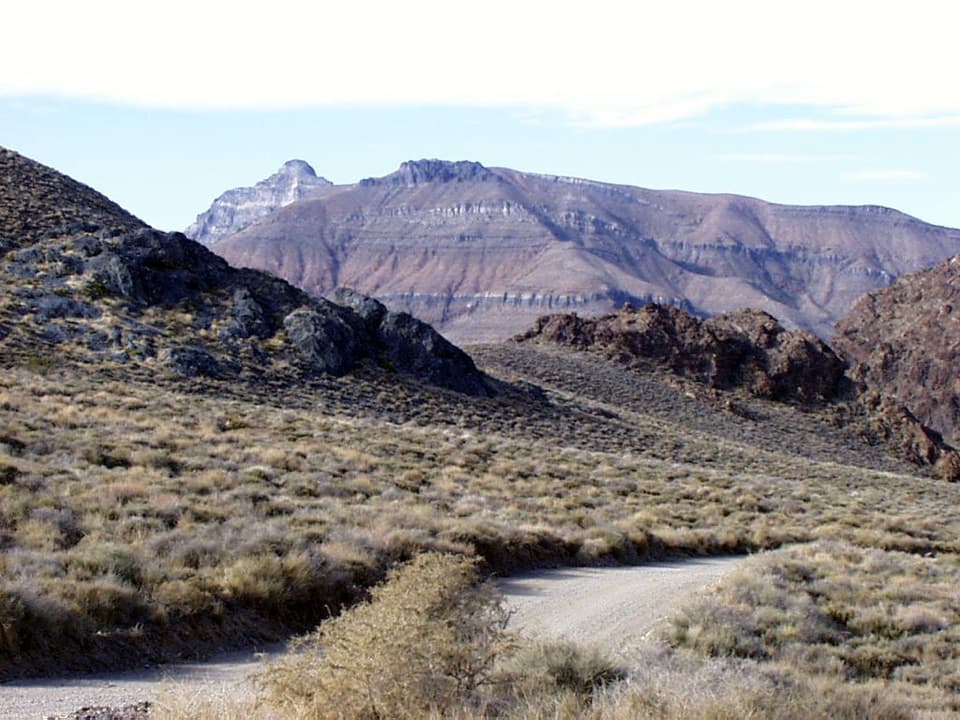
Start on the south side of the road cut at Red Pass and climb south over rounded ridges. Thimble Peak is hidden at first; it comes into view across a saddle. The route then climbs the peak's north face. The map follows the named path from the pass toward the summit, but it cannot show every move on the rough final section.

The summitThimble Peak is the most prominent summit at the southern end of the Grapevine Mountains.

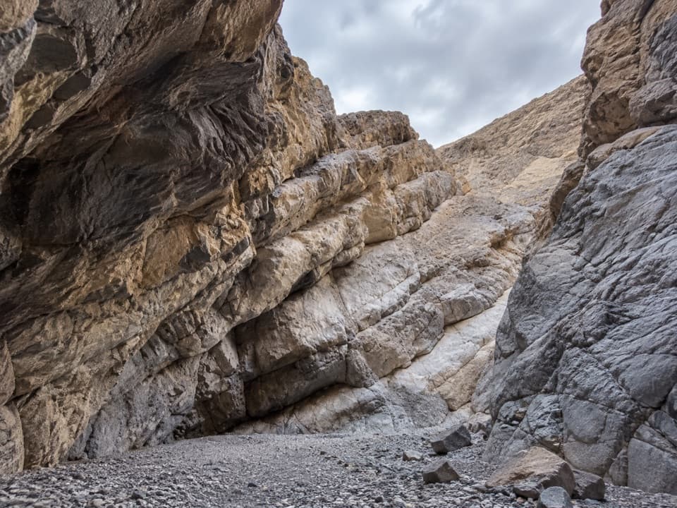
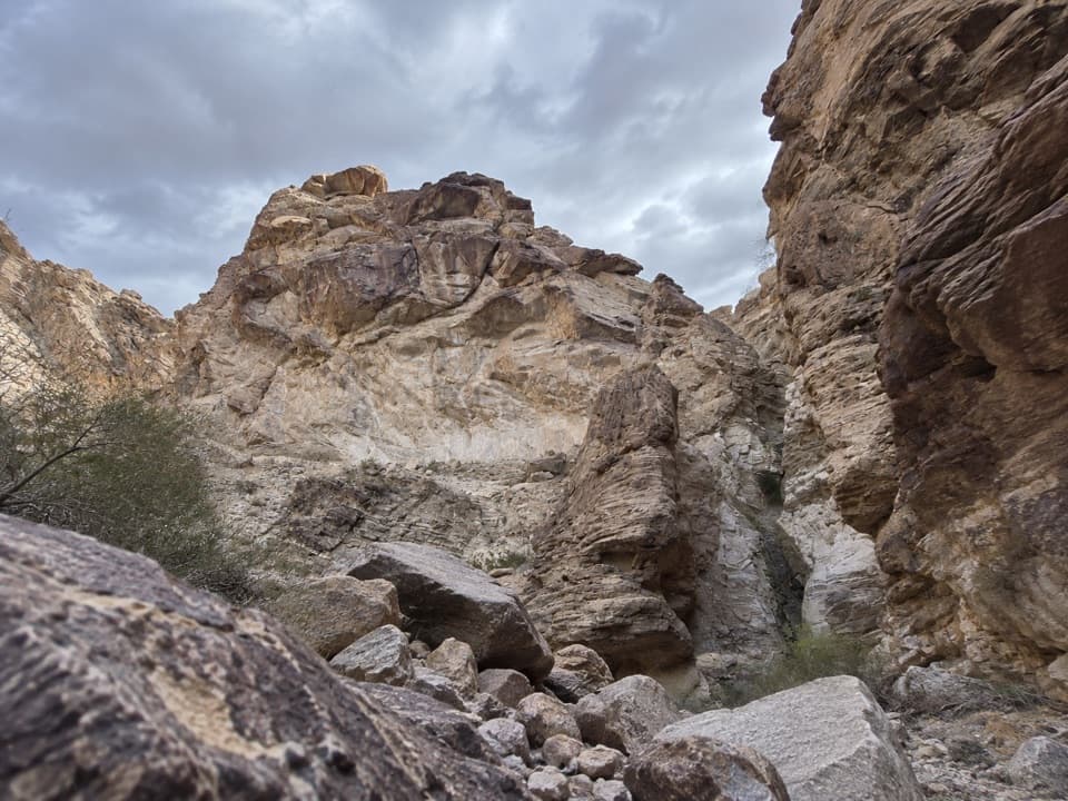
Thimble Peak is the most prominent summit at the southern end of the Grapevine Mountains. The final approach is steep, loose and partly exposed, with scrambling over broken rock; this is a poor choice if you are uneasy on exposed terrain. From the top, look across Death Valley's northern ranges and east toward Nevada and the peaks around Beatty. The summit is the reward; Red Pass itself is also a divide with views into both Titus and Titanothere Canyons.

Getting to Red PassThe start is a small roadside turnout on the south or southwest side of Red Pass, not a…

The start is a small roadside turnout on the south or southwest side of Red Pass, not a developed trailhead lot. Reaching it means driving Titus Canyon Road from Nevada Highway 374: the full road is about 27 miles, rough, steep and narrow, and its eastern section is one-way. A high-clearance vehicle is recommended; four-wheel drive may be needed after adverse weather. Turnouts are limited. The road often closes after snow, mud or washouts, so check current access before driving it.

Heat and park rulesPlan for cool weather. Summer daytime heat can make this exposed climb dangerous.

Plan for cool weather. Summer daytime heat can make this exposed climb dangerous. Pets are not allowed on park trails or in the backcountry, even on leash; leave them in a permitted developed area rather than bringing them to the route.

Wildlife

Wildlife in Death Valley

All Death Valley wildlife maps

Sighting maps show where each species has been reported across Death Valley. Wildlife moves, so no sighting is guaranteed.

Parkwolf’s Death Valley ranking

Top-rated trails in Death Valley

All 57 trails
  1. 1Badwater Salt FlatEasy · 1.9 mi
  2. 2Mosaic CanyonModerate · 4 mi
  3. 3Golden Canyon to Red CathedralModerate · 3 mi
  4. 4Telescope Peak TrailChallenging · 12.2 mi
  5. 5Golden Canyon Complete CircuitChallenging · 7.8 mi
  6. 6Gower Gulch LoopModerate · 4.3 mi

Take Parkwolf to Death Valley.

The audio tour guide for the drive, plus offline maps, trails, and wildlife heatmaps for when the signal drops.

4.7 from 8,600+ ratings

Download Parkwolf on the App StoreGet Parkwolf on Google Play