Parking
Small roadside parking area on the north side of Daylight Pass Road, at approximately 36.73458, -116.97209. The nearest listed restroom is the Hell’s Gate Information Kiosk.
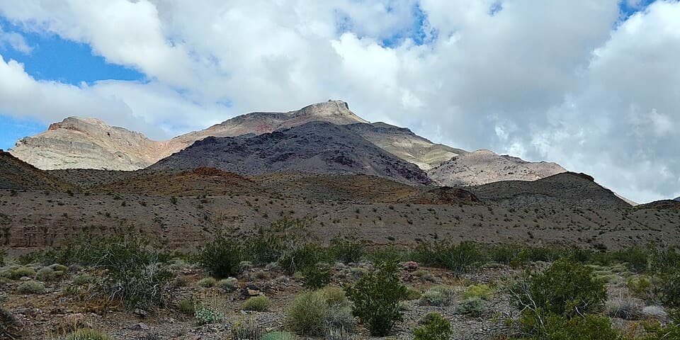
Death Valley National Park, CA · NV
A rough, unmarked summit climb with a sweeping Death Valley view.
Photo: Arno., CC BY-SA 4.0, via Wikimedia Commons
Overview
Map & elevation
Plan your hike

The highest, rockiest slopes around here are a summer buffet for grizzly bears.
Death Valley Tour Guide
Parkwolf is a GPS audio tour guide for Death Valley National Park. As you drive, it chimes in with what’s ahead: hidden gems, upcoming stops, history, geology, and wildlife, right through your car’s speakers.
See the Death Valley audio tourRecorded for this trailhead
Corkscrew Peak: A Rugged Summit Day“You're approaching the starting point for Corkscrew Peak, a rugged summit hike with a natural rock window just below the top.”
Plays as you drive up to this trailhead in the Parkwolf Death Valley Tour Guide.
More stories near here in the app
“Fantastic app with many points of information… It’s great to just turn on while you’re driving and it gives you an audio tour of the national Park. We love it!!!!”


Trail guide
Corkscrew Peak is a difficult out-and-back from a small roadside pullout on Daylight Pass Road. The National Park Service lists it at 7.1 miles round trip, about 3,141 feet of gain, and five to six hours. There is no constructed trail: route-finding and rock scrambling are part of the hike. The reward is a summit around 5,800 feet with wide views across Death Valley and the surrounding ranges.
The approach starts across a broad desert wash that narrows toward the peak. A common line leaves the wash near the canyon and climbs steep, loose ground to a more worn ridge route. Some hikers take a rougher wash-and-canyon line to a saddle; the variants meet near the summit, so don't combine them into a made-up loop. Cairns may help, but they don't turn this into a signed trail. The exact start and mileage shift with the roadside pullout and route line; other accounts report roughly 7.5 to 8 miles.
Most of the climbing comes on the steep upper slope. Loose gravel and uneven rock make the descent demanding too. A natural rock window sits just below the summit, and the top opens onto Death Valley and the surrounding peaks. This is a good choice if you want a rugged summit day and are comfortable navigating off trail; choose a marked hike if you want a clear tread and easier footing.
Parking is a small area on the north side of Daylight Pass Road; the listed access point is 36.73458, -116.97209. The nearest restroom is at the Hell's Gate Information Kiosk. Death Valley's general guidance favors November through March, warns of dangerous summer heat at lower elevations, and notes that winter and spring storms can bring snow to higher peaks. Springs are rare and unreliable in the park, so plan to carry enough water for the full hike. Leashed pets are limited to developed areas and roads, so pets can't join this cross-country route.
Wildlife
 72 sightingsBighorn SheepMost seen around 6 PMSighting map
 101 sightingsDesert TortoiseMost seen around 8 AMSighting map
 466 sightingsCoyoteMost seen around 6 PMSighting map
 29 sightingsFeral BurroMost seen around 5 PMSighting map
 30 sightingsMule DeerMost seen around 7 PMSighting map
 65 sightingsKit FoxMost seen around 7 PMSighting map
Sighting maps show where each species has been reported across Death Valley. Wildlife moves, so no sighting is guaranteed.
Keep exploring
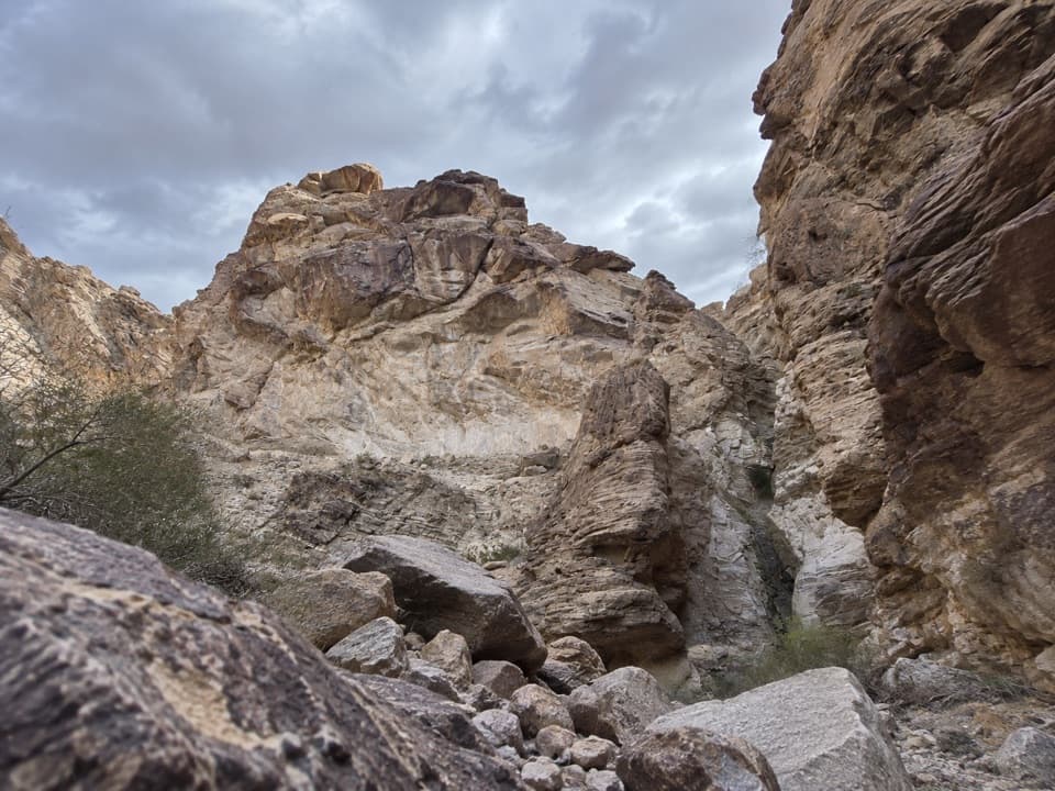 ChallengingLower Monarch Canyon Trail6.4 mi · 5 hr · 1.4 mi awayA long desert wash reaches a canyon waterfall in folded rock.
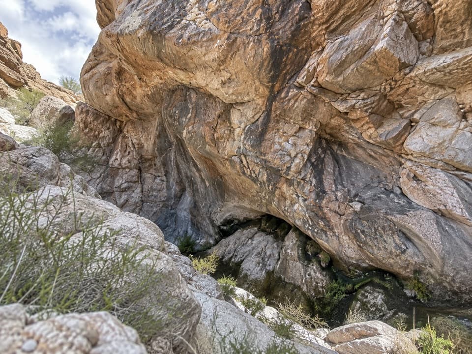 ModerateUpper Monarch Canyon Trail2.3 mi · 2.5 hr · 3.1 mi awayA rugged descent to an old mill and a hidden desert spring.
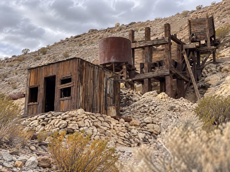 ModerateKeane Spring and John Cyty’s Cabin and Mill Trail3.6 mi · 2.5 hr · 5.7 mi awayA faint desert walk to a spring, cabin, and old stamp mill
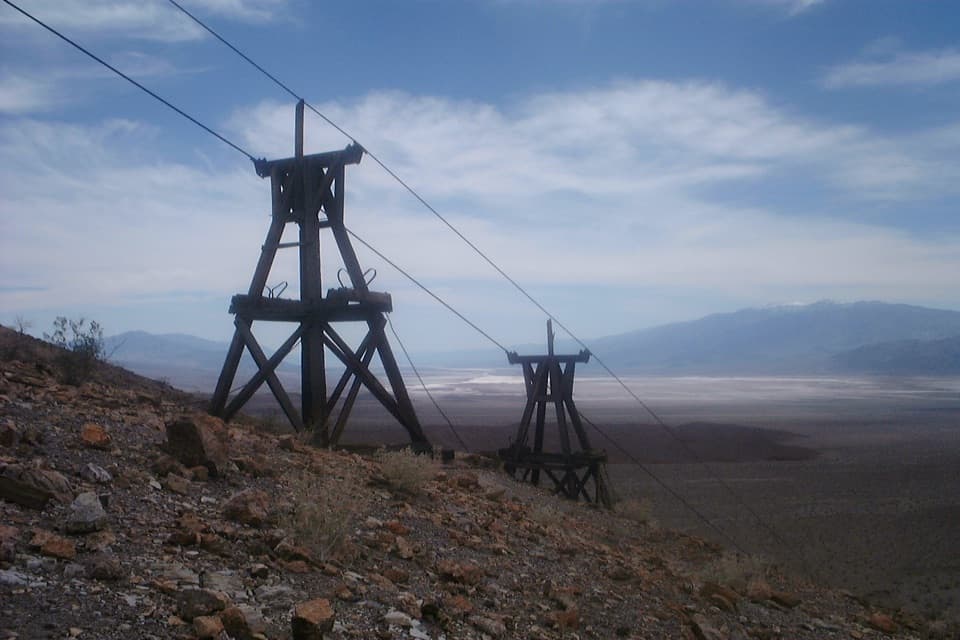 ChallengingKeane Wonder Mine Trail2.8 mi · 3 hr · 5.7 mi awayA steep 1,500-foot climb to Death Valley's old gold-mine tramway.
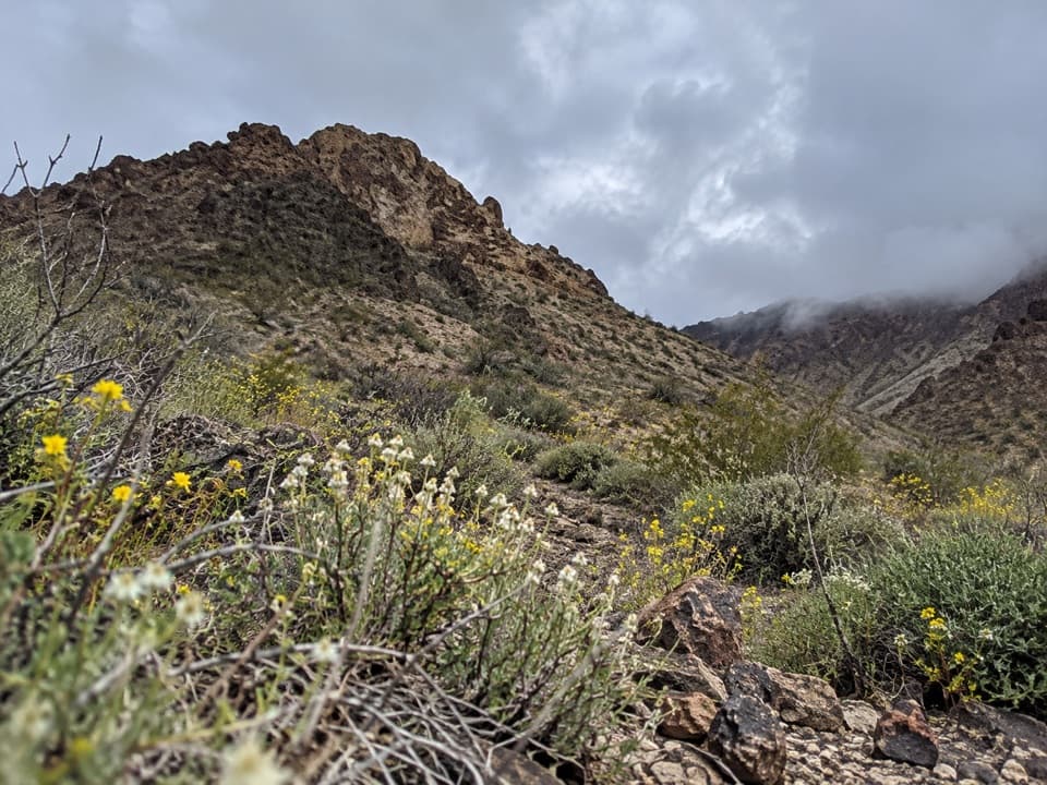 ModerateTitanothere Canyon to Lostman Spring9 mi · 7.5 hr · 7 mi awayA remote, trail-less wash walk to Lostman Spring.
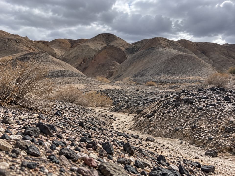 ModerateKit Fox Hills Trail5.3 mi · 4 hr · 7.2 mi awayA rough cross-country route through dark gravel washes.
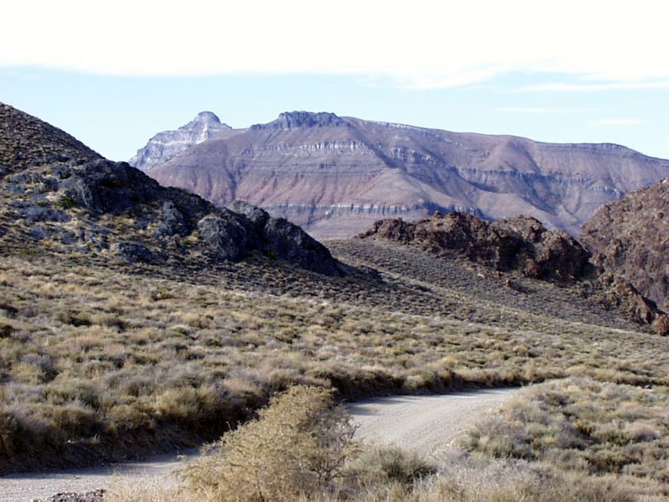 ChallengingThimble Peak Hike3.1 mi · 4.5 hr · 7.3 mi awayA short summit route with a steep, loose scramble at the top.
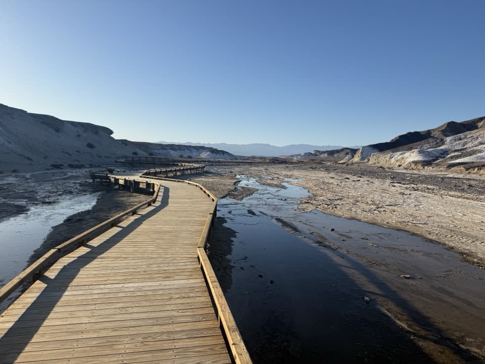 EasySalt Creek Interpretive Trail0.8 mi · 30 min · 10 mi awayA short boardwalk puts endemic pupfish in view.
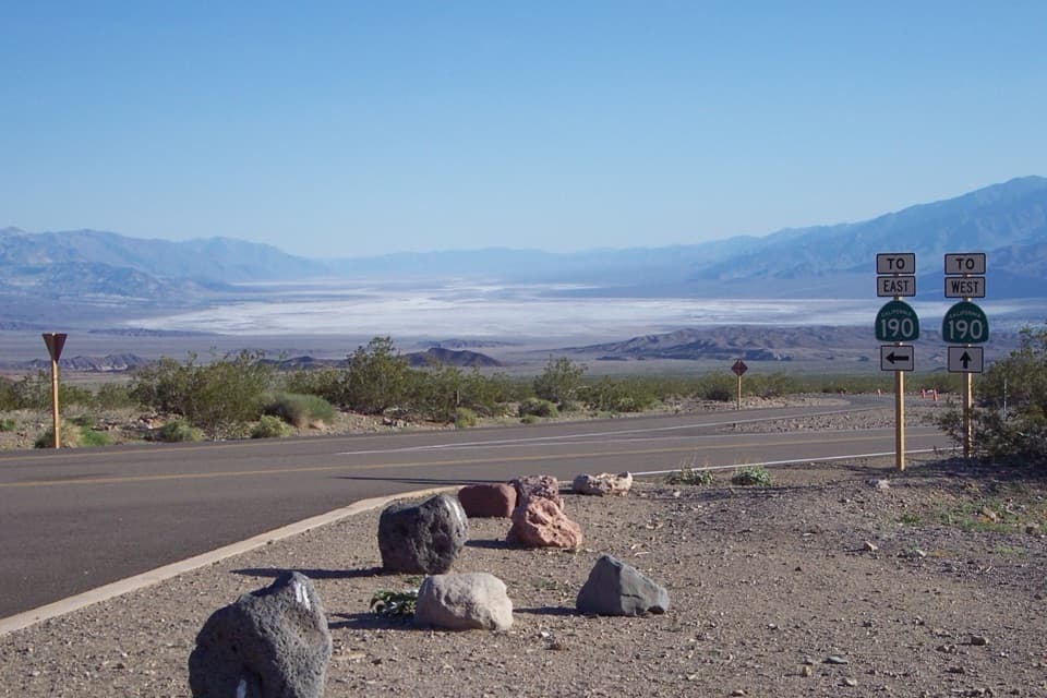 Scenic pullout · 0.8 mi awayHell's GateThe valley opens wide on the drive down from Beatty.
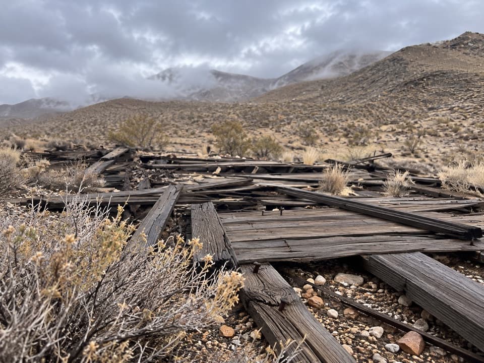 Sight · 5.2 mi awayChloride CityA rough 4WD trip to a short-lived, scattered mining townsite.
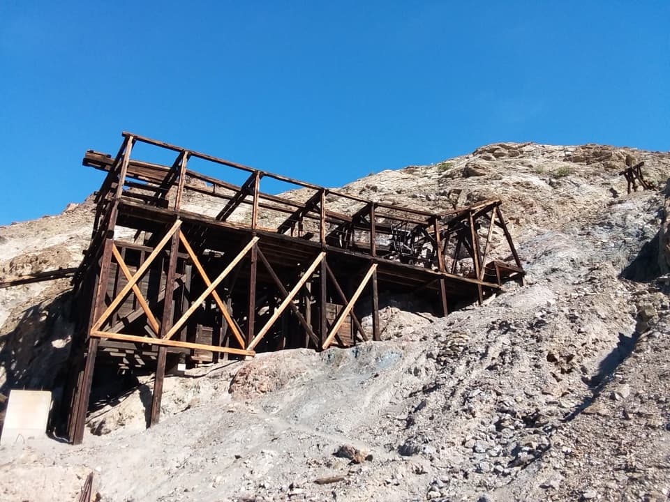 Sight · 5.4 mi awayKeane Wonder MineGold-mine ruins linked to their mill by a mile-long aerial tramway.
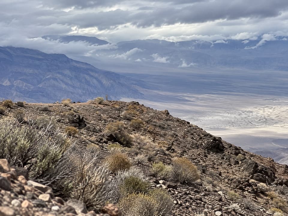 Sight · 5.8 mi awayChloride CliffA remote peak with a huge view across Death Valley.
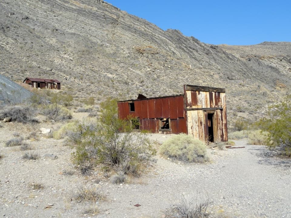 Sight · 9.3 mi awayLeadfield Ghost TownA mining boom left corrugated buildings, a dugout, and mill foundations.
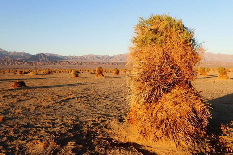 Sight · 9.9 mi awayDevil's CornfieldA brief roadside look at Death Valley's corn-like arrowweed clumps.
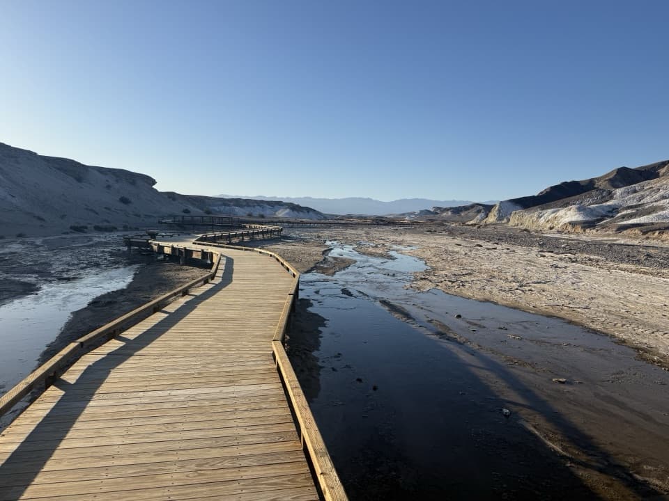 Sight · 9.9 mi awaySalt CreekSee tiny pupfish on a short desert boardwalk.
Parkwolf’s Death Valley ranking

The audio tour guide for the drive, plus offline maps, trails, and wildlife heatmaps for when the signal drops.




