Parking
From Chloride Road, take Monarch Canyon Road about 0.7 mile to its rough end and park at the road-end access above the pour-over. There is no developed lot.
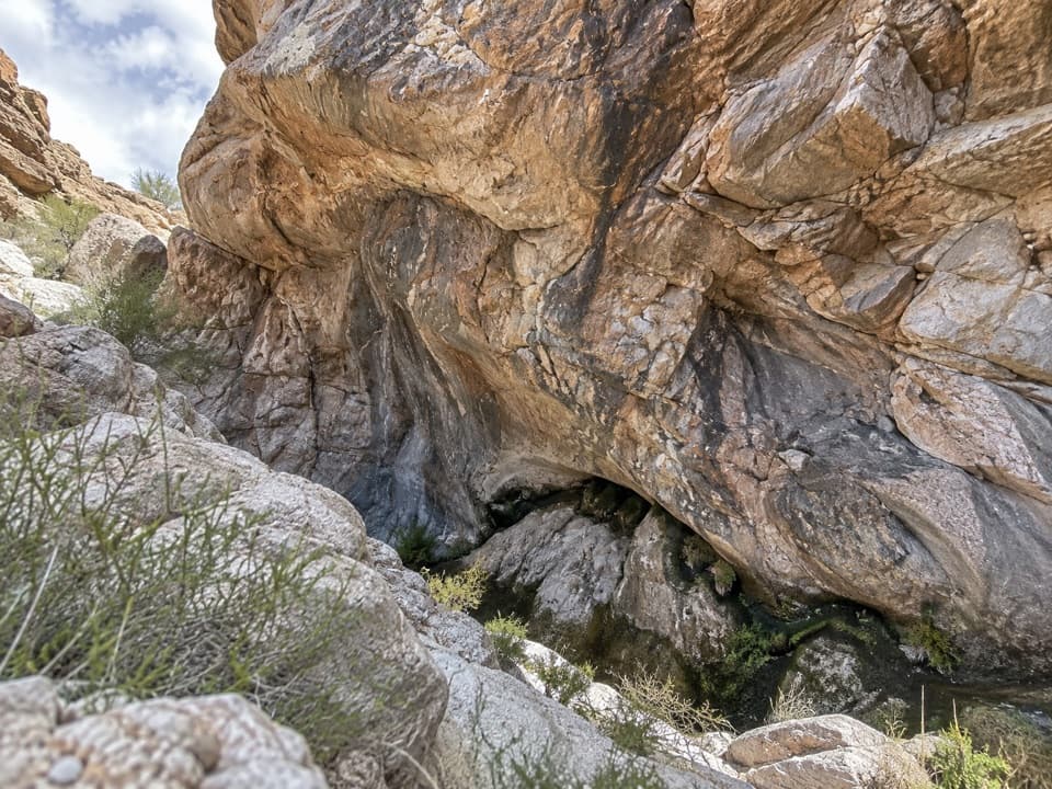
Death Valley National Park, CA · NV
A rugged descent to an old mill and a hidden desert spring.
Overview
Upper Monarch Canyon is a 2.26-mile out-and-back from the end of Monarch Canyon Road, dropping into Monarch Wash to the high pour-over before climbing back to the rim. Available measures disagree: the GPS waypoint itinerary totals 2.26 miles round trip, while the mapped centerline is about 1.85. Treat mileage as approximate, and allow about 2–3 hours with time for brushy walking and exploring the mill area. The steep, eroded entry makes this more demanding than the distance suggests.
 Parkwolf’s verdictIs this the hike for you?
Map & elevation
Plan your hike

The highest, rockiest slopes around here are a summer buffet for grizzly bears.
Death Valley Tour Guide
Parkwolf is a GPS audio tour guide for Death Valley National Park. As you drive, it chimes in with what’s ahead: hidden gems, upcoming stops, history, geology, and wildlife, right through your car’s speakers.
See the Death Valley audio tourRecorded for this area
The Trumpet's Swollen Stem“A desert trumpet is easier to recognize by its stem than its flowers. Look for a thin, gray-green stalk with a swelling near the top, then a spray of fine branches carrying tiny yellow flowers.”
Plays on the road 1.8 mi from the trailhead in the Parkwolf Death Valley Tour Guide.
More stories near here in the app
“Fantastic app with many points of information… It’s great to just turn on while you’re driving and it gives you an audio tour of the national Park. We love it!!!!”


Trail guide
From the rim, an old miner’s track skirts the first pour-over and drops along the south wall. Its rockwork is still visible, but the path narrows and the last section has washed away, leaving a short scramble into the wash. Below, the open canyon bed is easier walking, though it is not a constructed trail and the route can fade around brush and polished rock.
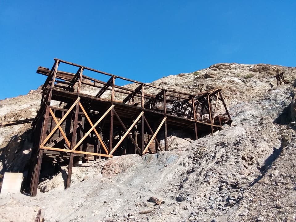
The route passes ore-car rails before reaching Monarch Mill, tucked against the south wall. A long wooden chute once carried ore from a higher bench to a hopper above the single-stamp mill. Look without climbing on the mill or disturbing the fragile remains; stay out of every mine opening.
Past the mill and a scattered cabin site, reeds and rabbitbrush thicken around Monarch Spring. It is easy to miss, unreliable, and not safe to drink untreated, so bring all the water you need. Continue about 0.3 mile through brush to the top of the high pour-over. That is the turnaround for a nontechnical hike; it blocks further walking down the canyon. The view looks out toward the Mesquite Flat dunes.
Wildlife
 72 sightingsBighorn SheepMost seen around 6 PMSighting map
 101 sightingsDesert TortoiseMost seen around 8 AMSighting map
 466 sightingsCoyoteMost seen around 6 PMSighting map
 29 sightingsFeral BurroMost seen around 5 PMSighting map
 30 sightingsMule DeerMost seen around 7 PMSighting map
 65 sightingsKit FoxMost seen around 7 PMSighting map
Sighting maps show where each species has been reported across Death Valley. Wildlife moves, so no sighting is guaranteed.
Keep exploring
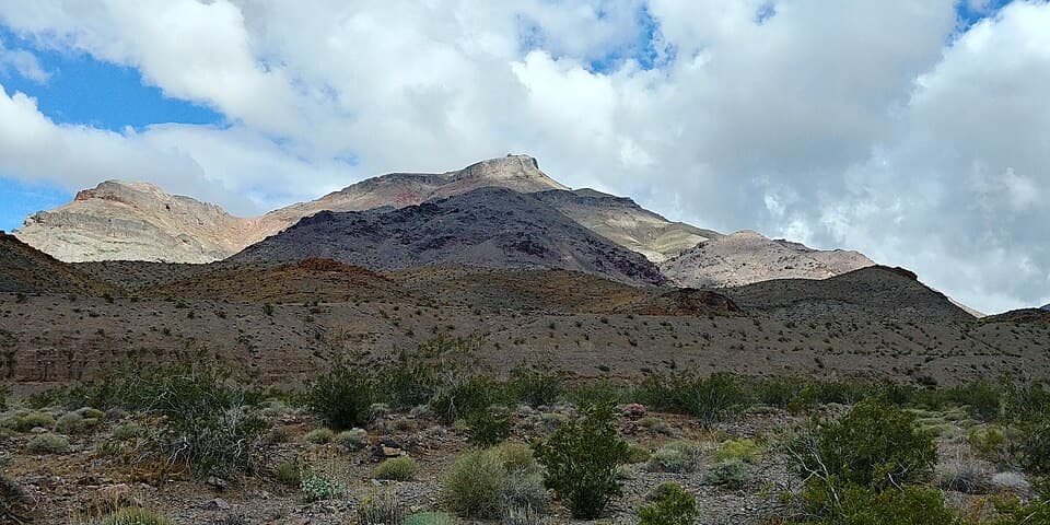 ChallengingCorkscrew Peak7.1 mi · 5.5 hr · 3.1 mi awayA rough, unmarked summit climb with a sweeping Death Valley view.
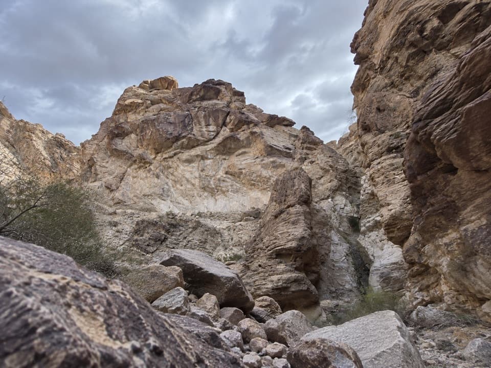 ChallengingLower Monarch Canyon Trail6.4 mi · 5 hr · 3.4 mi awayA long desert wash reaches a canyon waterfall in folded rock.
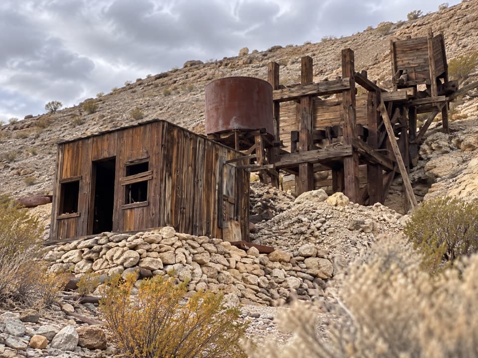 ModerateKeane Spring and John Cyty’s Cabin and Mill Trail3.6 mi · 2.5 hr · 4.3 mi awayA faint desert walk to a spring, cabin, and old stamp mill
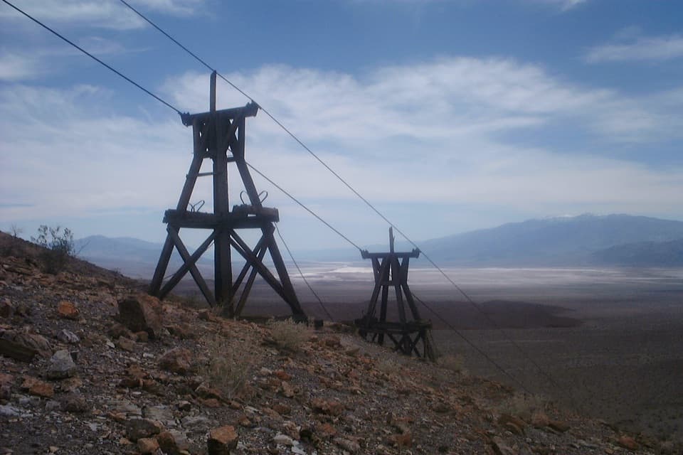 ChallengingKeane Wonder Mine Trail2.8 mi · 3 hr · 4.3 mi awayA steep 1,500-foot climb to Death Valley's old gold-mine tramway.
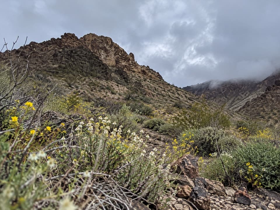 ModerateTitanothere Canyon to Lostman Spring9 mi · 7.5 hr · 8.9 mi awayA remote, trail-less wash walk to Lostman Spring.
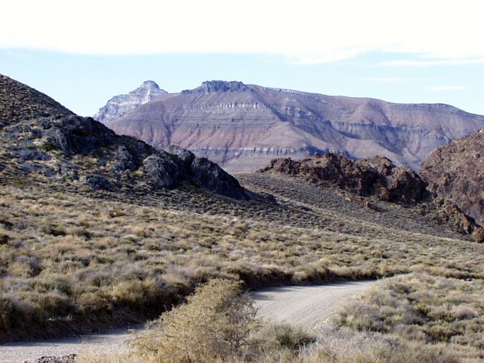 ChallengingThimble Peak Hike3.1 mi · 4.5 hr · 9.4 mi awayA short summit route with a steep, loose scramble at the top.
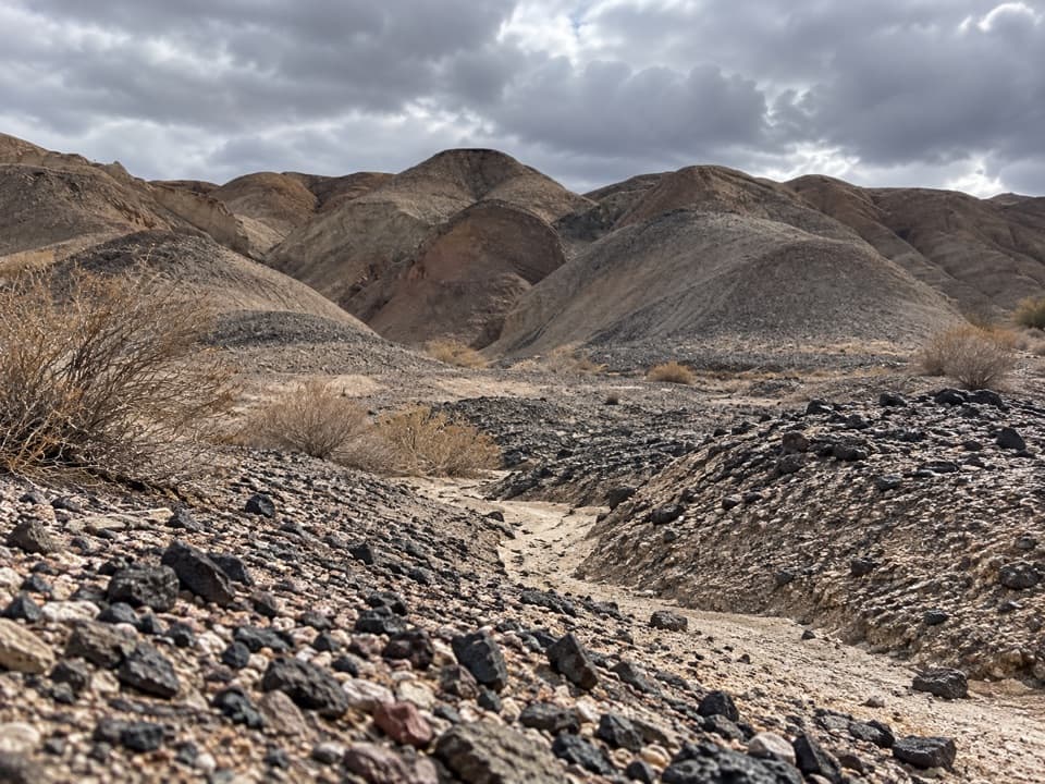 ModerateKit Fox Hills Trail5.3 mi · 4 hr · 9.7 mi awayA rough cross-country route through dark gravel washes.
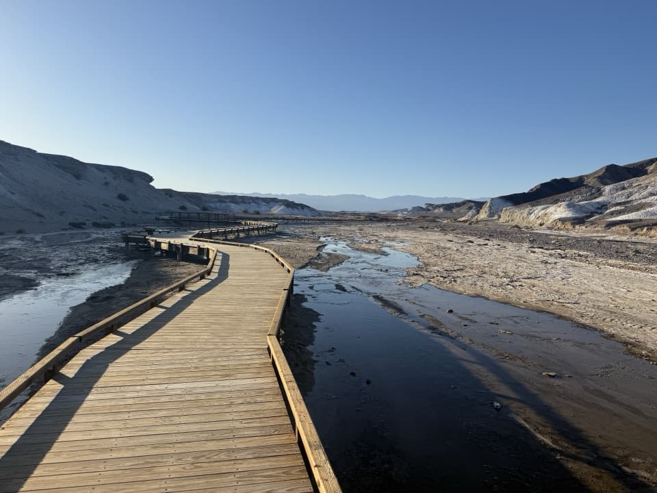 EasySalt Creek Interpretive Trail0.8 mi · 30 min · 10.4 mi awayA short boardwalk puts endemic pupfish in view.
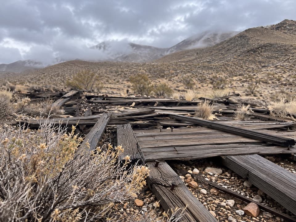 Sight · 2.4 mi awayChloride CityA rough 4WD trip to a short-lived, scattered mining townsite.
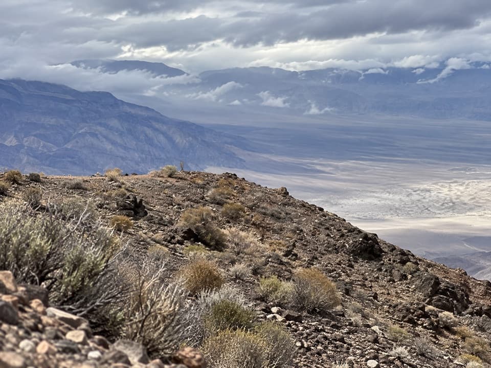 Sight · 3.1 mi awayChloride CliffA remote peak with a huge view across Death Valley.
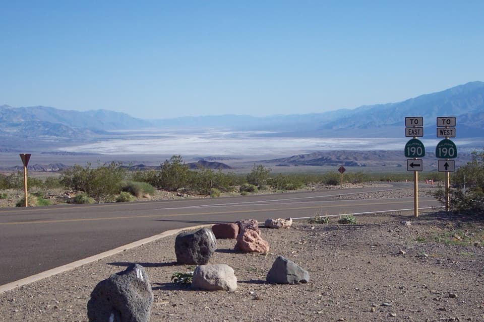 Scenic pullout · 3.4 mi awayHell's GateThe valley opens wide on the drive down from Beatty.
 Sight · 3.5 mi awayKeane Wonder MineGold-mine ruins linked to their mill by a mile-long aerial tramway.
Parkwolf’s Death Valley ranking
The audio tour guide for the drive, plus offline maps, trails, and wildlife heatmaps for when the signal drops.




