Parking
There is no formal lot. The start is a roadside pull-off on Beatty Cutoff about 0.7 miles south of Hell’s Gate; stop only where the vehicle can sit fully clear of traffic.
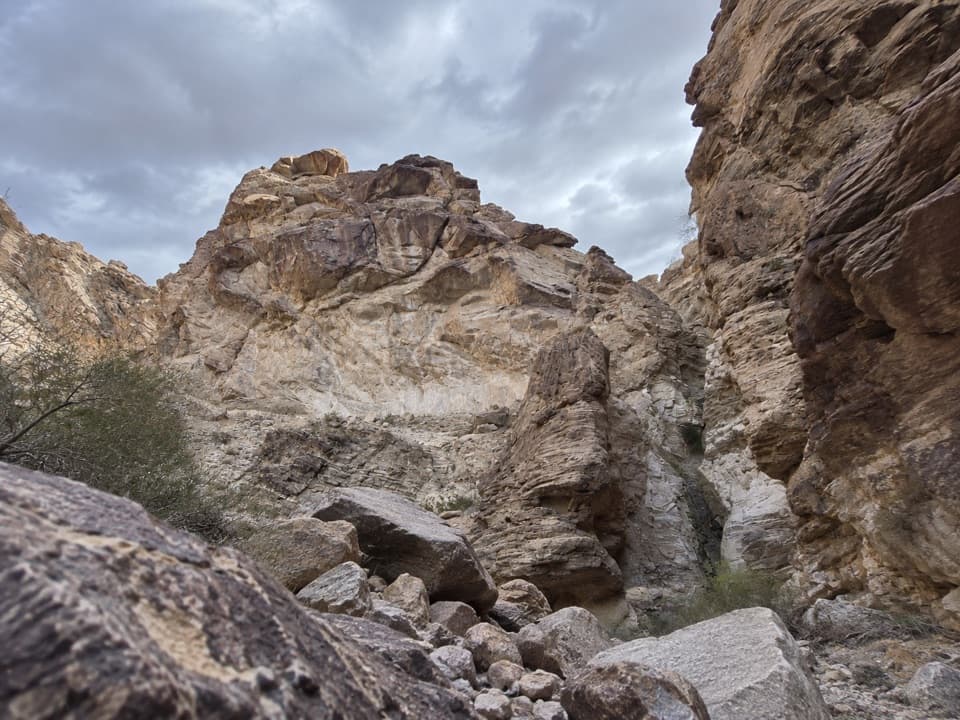
Death Valley National Park, CA · NV
A long desert wash reaches a canyon waterfall in folded rock.
Overview
Lower Monarch Canyon is a remote, unmarked out-and-back from Beatty Cutoff Road to the lower falls in the Funeral Mountains. Plan on about 6.4 miles round-trip and roughly five hours. The walk crosses an open desert fan, follows a loose-rock wash and finishes among dryfalls and chokestones. The reward is a multi-stage waterfall and folded rock deep in the canyon. This is for hikers comfortable navigating off trail and finding their way back; there is no continuous signed tread.
 Parkwolf’s verdictIs this hike for you?
Map & elevation
Plan your hike

The highest, rockiest slopes around here are a summer buffet for grizzly bears.
Death Valley Tour Guide
Parkwolf is a GPS audio tour guide for Death Valley National Park. As you drive, it chimes in with what’s ahead: hidden gems, upcoming stops, history, geology, and wildlife, right through your car’s speakers.
See the Death Valley audio tourRecorded for this trailhead
Lower Monarch Canyon: A Waterfall Hike“You're nearing the roadside starting point for Lower Monarch Canyon, a hike to folded rock and a waterfall that can be dry later in the season.”
Plays as you drive up to this trailhead in the Parkwolf Death Valley Tour Guide.
More stories near here in the app
“Fantastic app with many points of information… It’s great to just turn on while you’re driving and it gives you an audio tour of the national Park. We love it!!!!”


Trail guide
Start on Beatty Cutoff about 0.7 miles south of Hell’s Gate. There is no formal trailhead or parking lot; the usual start is a roadside spot only when you can pull fully clear of traffic. From there, head east and a little south across the alluvial fan. The correct canyon is not obvious at first. Stay toward the southern side to avoid a set of deeper washes, and look for low pink hills. At about 1.25 miles, drop into Monarch Canyon Wash and turn upstream.
The wash is broad at first, with loose stones and shallow side channels. Near 1.8 miles, take the right fork as you walk upstream. The walls rise and the wash winds into the canyon. The last stretch has ledges, dryfalls and two large chokestones that need a little route-finding; some lines involve short, light Class 3 scrambling. Turn back if the obstacles exceed your comfort. Reaching the lower falls does not require climbing to the middle or upper cascades.
The route ends at the base of the lower falls, about 3.2 miles from the road. The cascade has several stages, with higher drops mostly hidden from below. Water flow changes through the year, and the lower fall can be dry later in the season. Look across the canyon for a folded rock layer cut by a quartz dike. From the canyon floor, frame the narrow chute with that patterned wall and some of the boulder-strewn foreground.
There are no facilities at the roadside start or along the route. Carry all the water you need; water in the canyon is not potable. Pets are not allowed on park trails. Bring a reliable map or GPS track and be prepared to turn around at the canyon obstacles.
Wildlife
 72 sightingsBighorn SheepMost seen around 6 PMSighting map
 101 sightingsDesert TortoiseMost seen around 8 AMSighting map
 466 sightingsCoyoteMost seen around 6 PMSighting map
 29 sightingsFeral BurroMost seen around 5 PMSighting map
 30 sightingsMule DeerMost seen around 7 PMSighting map
 65 sightingsKit FoxMost seen around 7 PMSighting map
Sighting maps show where each species has been reported across Death Valley. Wildlife moves, so no sighting is guaranteed.
Keep exploring
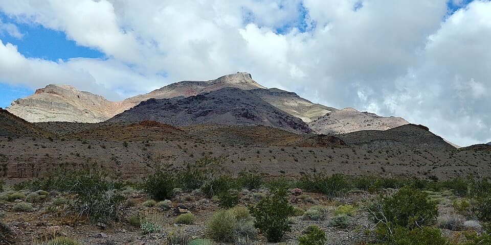 ChallengingCorkscrew Peak7.1 mi · 5.5 hr · 1.4 mi awayA rough, unmarked summit climb with a sweeping Death Valley view.
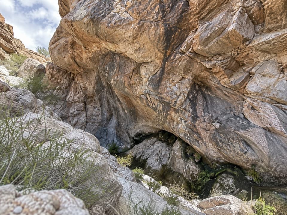 ModerateUpper Monarch Canyon Trail2.3 mi · 2.5 hr · 3.4 mi awayA rugged descent to an old mill and a hidden desert spring.
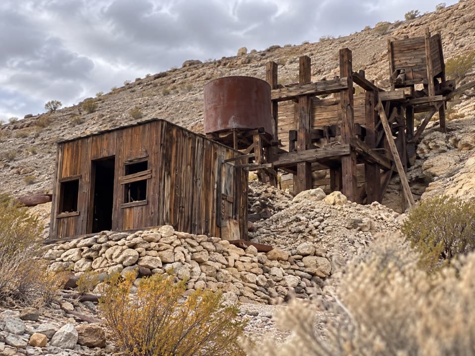 ModerateKeane Spring and John Cyty’s Cabin and Mill Trail3.6 mi · 2.5 hr · 4.8 mi awayA faint desert walk to a spring, cabin, and old stamp mill
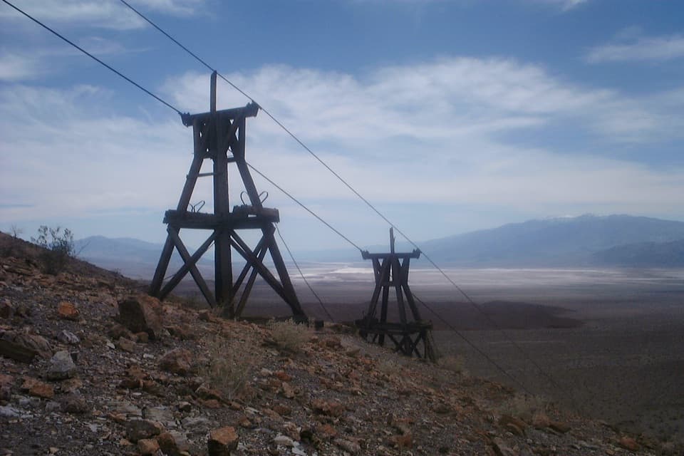 ChallengingKeane Wonder Mine Trail2.8 mi · 3 hr · 4.8 mi awayA steep 1,500-foot climb to Death Valley's old gold-mine tramway.
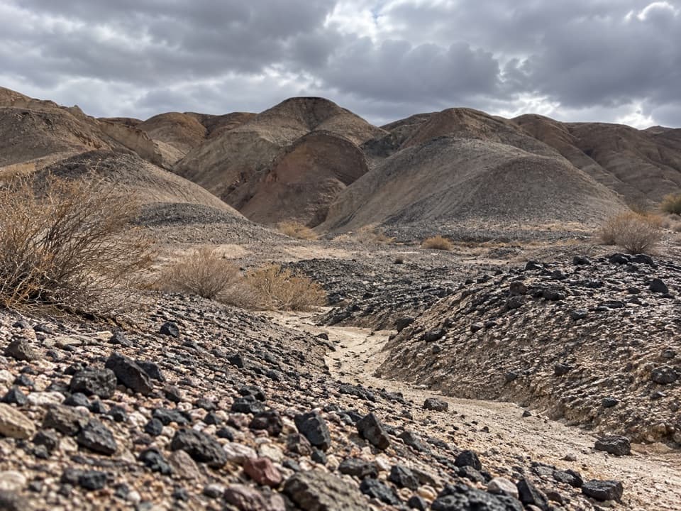 ModerateKit Fox Hills Trail5.3 mi · 4 hr · 6.3 mi awayA rough cross-country route through dark gravel washes.
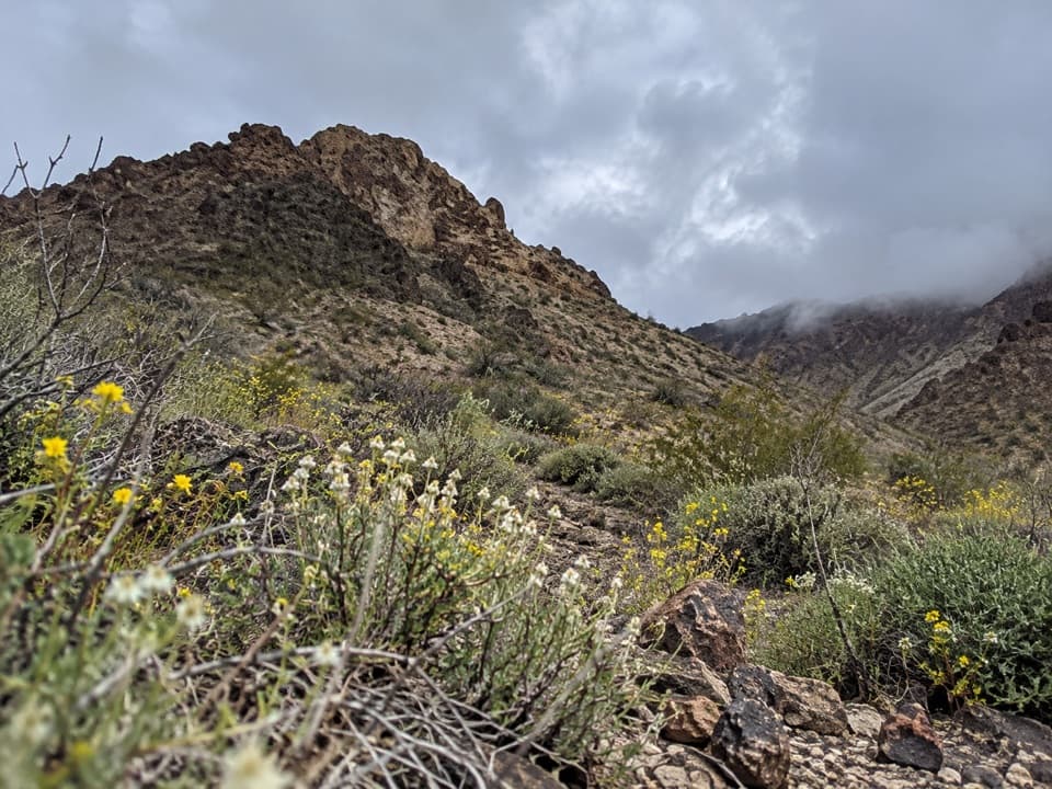 ModerateTitanothere Canyon to Lostman Spring9 mi · 7.5 hr · 8.3 mi awayA remote, trail-less wash walk to Lostman Spring.
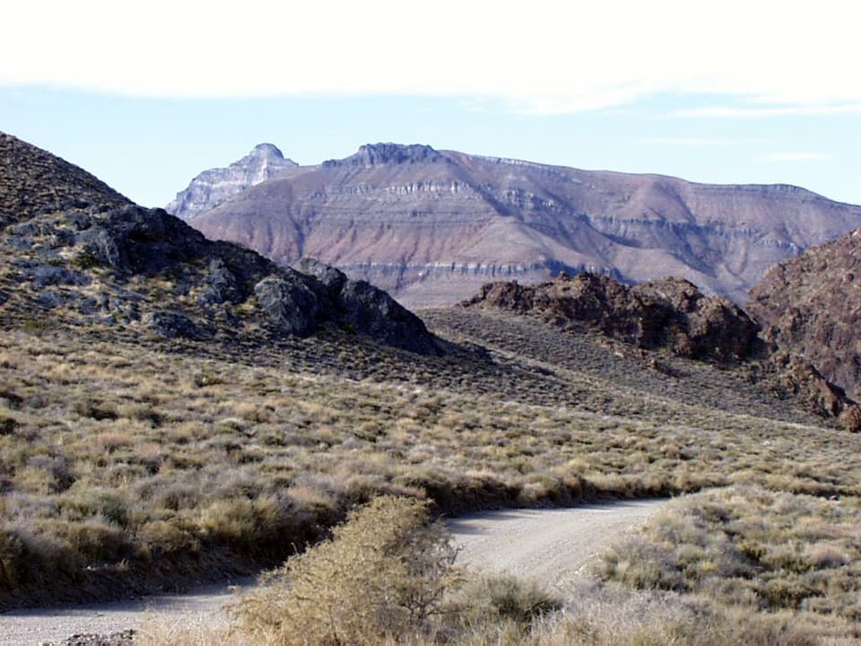 ChallengingThimble Peak Hike3.1 mi · 4.5 hr · 8.6 mi awayA short summit route with a steep, loose scramble at the top.
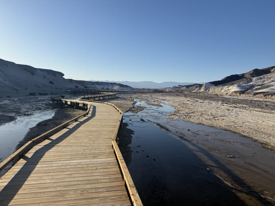 EasySalt Creek Interpretive Trail0.8 mi · 30 min · 8.6 mi awayA short boardwalk puts endemic pupfish in view.
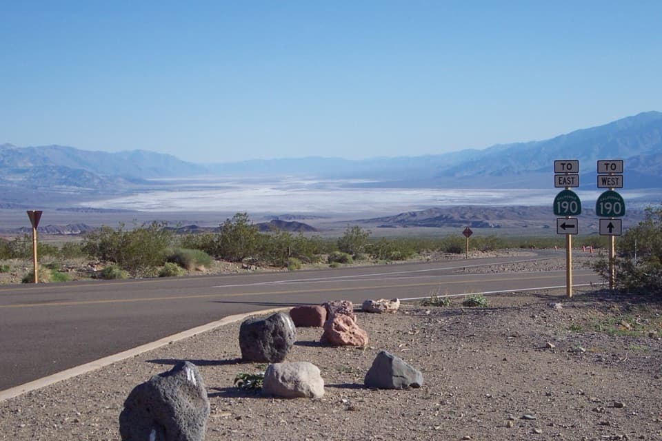 Scenic pullout · 0.7 mi awayHell's GateThe valley opens wide on the drive down from Beatty.
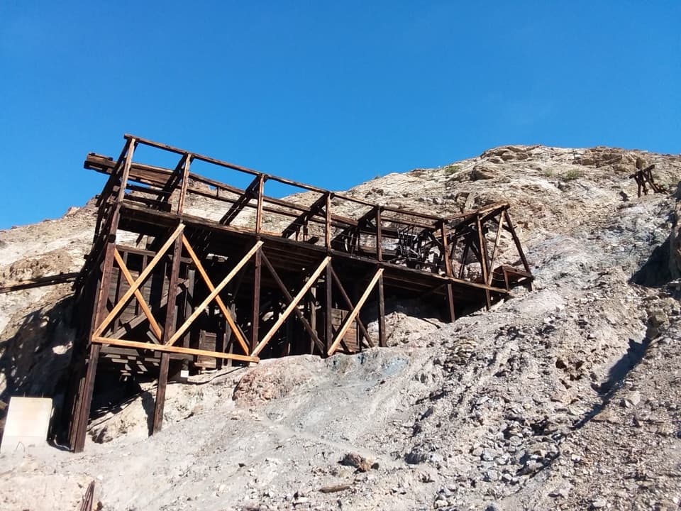 Sight · 4.7 mi awayKeane Wonder MineGold-mine ruins linked to their mill by a mile-long aerial tramway.
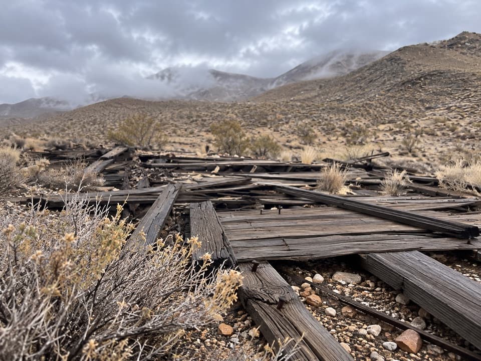 Sight · 5 mi awayChloride CityA rough 4WD trip to a short-lived, scattered mining townsite.
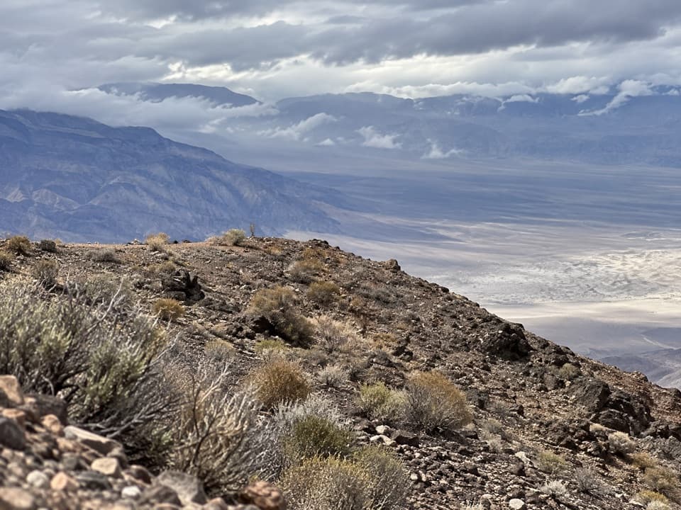 Sight · 5.4 mi awayChloride CliffA remote peak with a huge view across Death Valley.
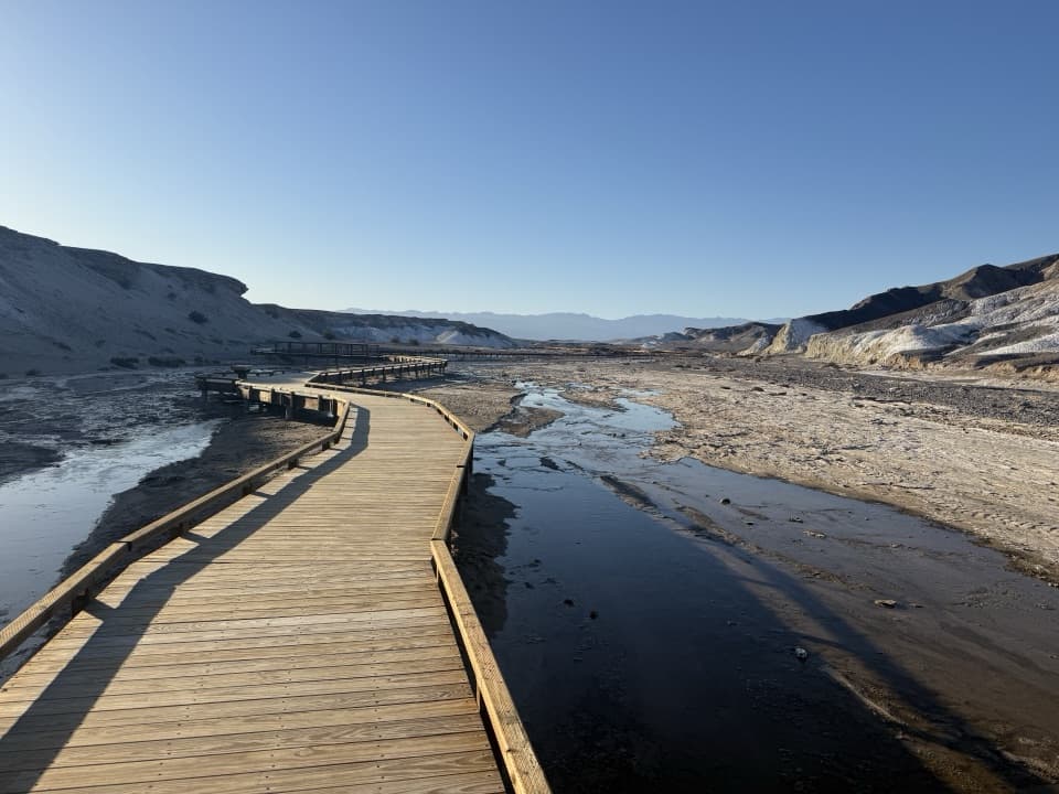 Sight · 8.5 mi awaySalt CreekSee tiny pupfish on a short desert boardwalk.
 Sight · 8.6 mi awayDevil's CornfieldA brief roadside look at Death Valley's corn-like arrowweed clumps.
Parkwolf’s Death Valley ranking
The audio tour guide for the drive, plus offline maps, trails, and wildlife heatmaps for when the signal drops.




