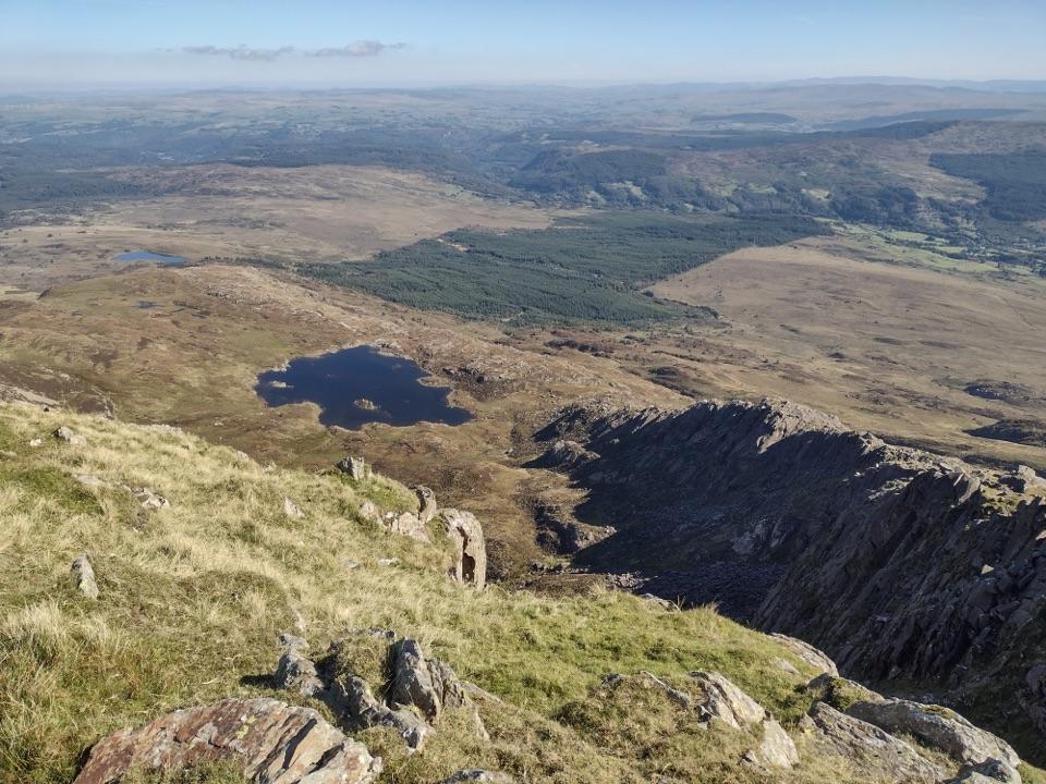
Moel Siabod in Eryri National Park

Sight · Eryri National Park

Moel Siabod

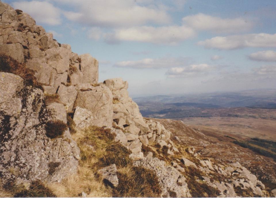
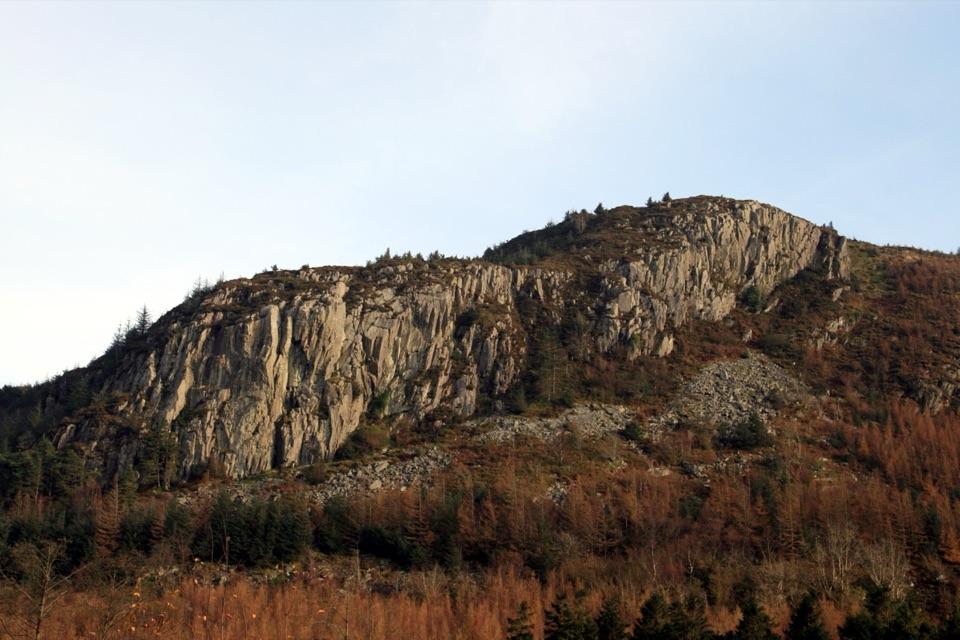
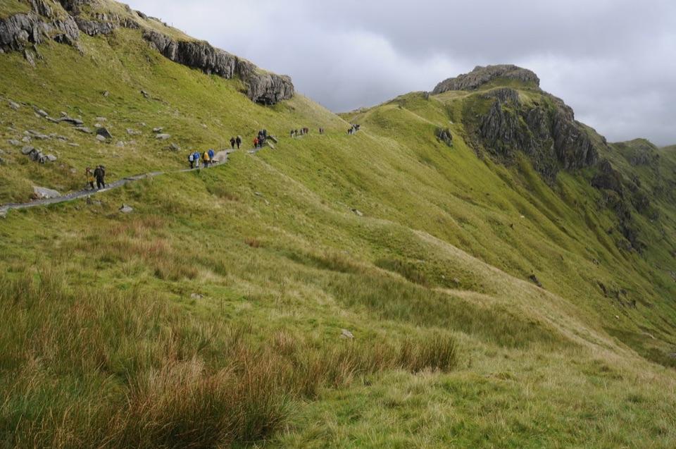
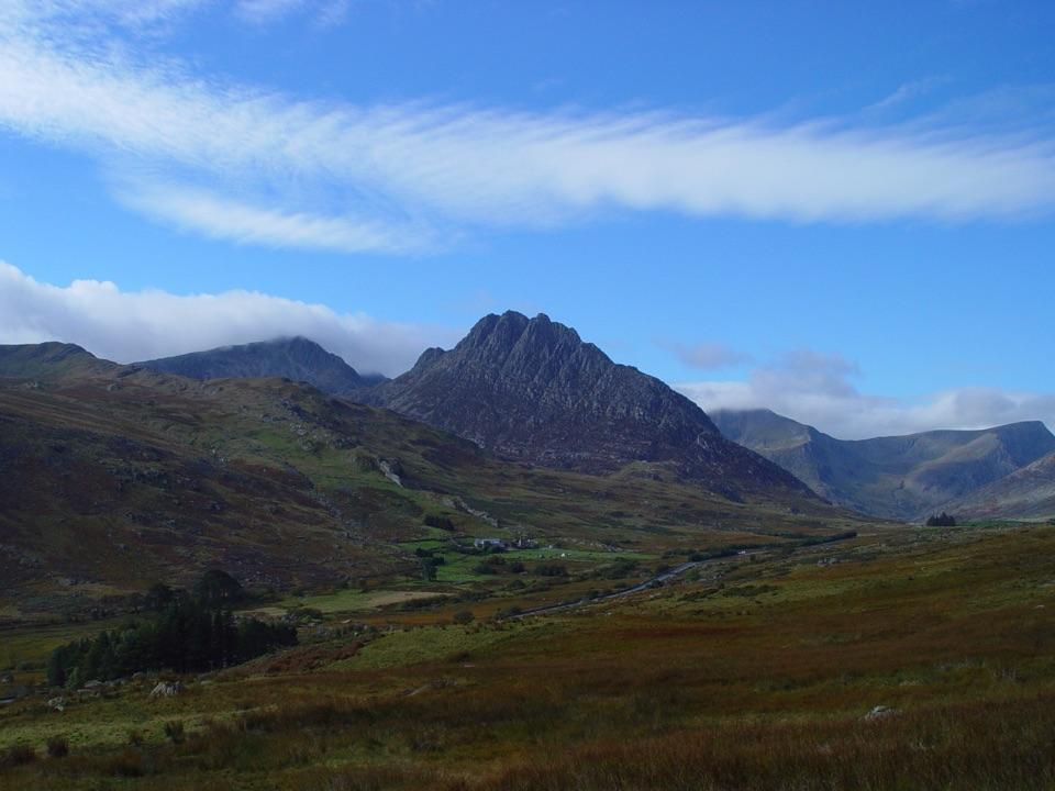
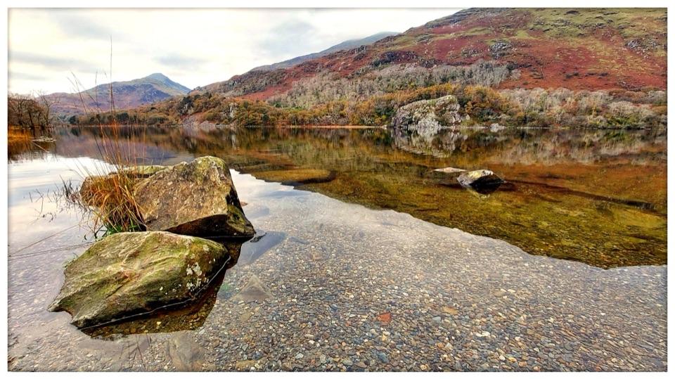
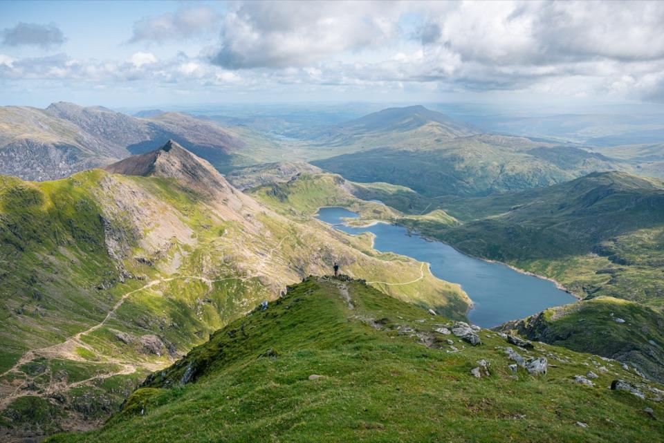
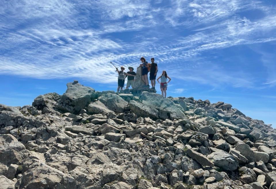
Wide panorama from a quieter summit above slate ruins and lake

Photo: Colin Park / Geograph Britain and Ireland, CC BY-SA 2.0

Type
Sight
Nearest trail
3.9 km
Audio stories
3 nearby

Hear the audio tour

Moel Siabod from Bryn Glo
Download Parkwolf on the App StoreGet Parkwolf on Google Play

4.7 from 8,600+ ratings

Overview

About Moel Siabod

Why stop

  • Wide views across Yr Wyddfa, Tryfan and the Glyderau
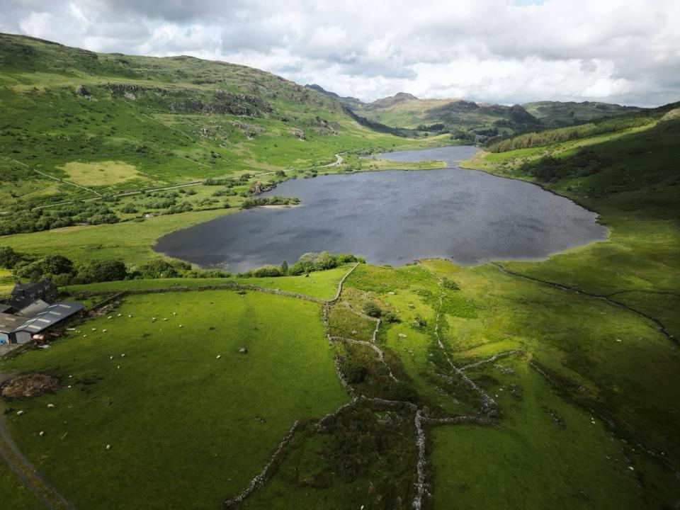
  • Varied outing with waterfalls, quarry ruins and a mountain lake

Heads up

  • Exposed, windy upper mountain with slippery rock after rain
  • Daear Ddu adds sustained scrambling and real commitment

Map

Where it is

Loading the Eryri map
Full map
SightMoel Siabod53.07320, -3.93399
Keep this map with you offline in the Parkwolf app

Plan your stop

Before you go

Access and route context

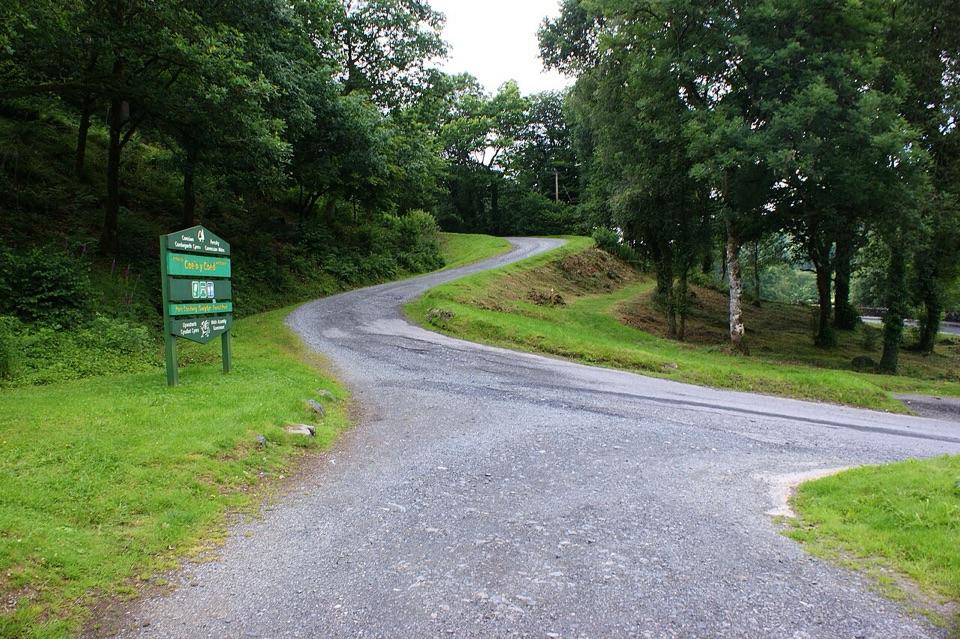
A common start is Bryn Glo car park near Pont Cyfyng, just off the A5. Parking can be popular, so an earlier start helps. The approach through the old quarries reaches the ridge above Llyn y Foel; check your route carefully if you want to avoid the scramble. There are no visitor facilities on the mountain beyond the summit windbreak.


A park ranger sits on a dash-mounted phone, talking, as Parkwolf’s Tour Guide plays “Army Cutworm Moths: A Grizzly Bear Buffet” on Grand Loop Road below Dunraven Pass in Yellowstone
Parkwolf Tour GuideThe highest, rockiest slopes around here are a summer buffet for grizzly bears.

Eryri Tour Guide

Your drive to Moel Siabod, narrated.

Parkwolf is a GPS audio tour guide for Eryri National Park. As you drive, it chimes in with what’s ahead: hidden gems, upcoming stops, history, geology, and wildlife, right through your car’s speakers.

See the Eryri audio tour

Recorded for this place

Moel Siabod from Bryn Glo
0:00 / 0:29
“You're coming up on the Bryn Glo start for Moel Siabod. The six-and-a-half-mile circuit passes slate workings and Llyn y Foel, with summit views across Yr Wyddfa, Tryfan and the Glyderau in clear weather.”

Plays as you drive up to Moel Siabod in the Parkwolf Eryri Tour Guide.

More stories near here in the app

  • Everest Began Here, Too
  • Llynnau Mymbyr and the mountain reflection
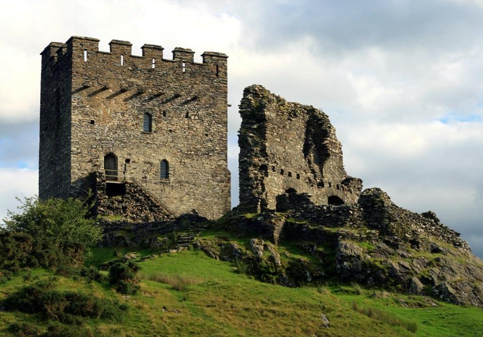
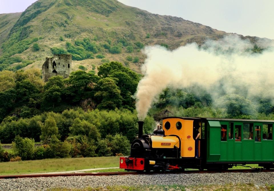
  • Dolwyddelan Castle
  • The Mountain Blackbird
  • 298 audio storiesacross Eryri’s roads, triggered by GPS as you drive
  • Wildlife heatmapsfor Grey Heron, European Badger, Tawny Owl, and 10 more
  • Works offlinemaps, 122 trails, 84 places, and audio download before you lose signal
  • CarPlay readysimple controls built for the drive
★★★★★
“Fantastic app with many points of information… It’s great to just turn on while you’re driving and it gives you an audio tour of the national Park. We love it!!!!”
JMJamesApp Store review
Download Parkwolf on the App StoreGet Parkwolf on Google Play

4.7 from 8,600+ ratings

Guide

More about Moel Siabod

Why make the climbMoel Siabod is an 872-metre mountain and the highest point of the Moelwynion, and it sits in an…

Moel Siabod is an 872-metre mountain and the highest point of the Moelwynion, and it sits in an unusually good spot for views. From the top you look across to Yr Wyddfa, Tryfan and the Glyderau, with ranges stacking up in almost every direction on a clear day. It is a serious mountain day that is generally quieter than the headline peaks nearby, so the summit often feels earned rather than shared.

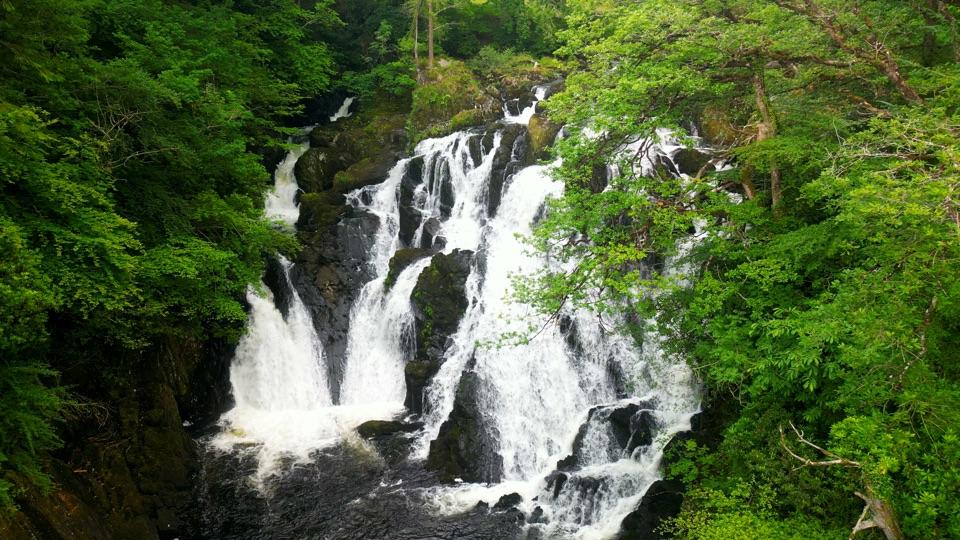
What you see on the way upCyfyng Falls early on, where the river drops through rock close to the start of the walk.
  • Cyfyng Falls early on, where the river drops through rock close to the start of the walk.
  • Old slate quarry workings and ruins, a reminder of how hard this landscape was once worked.
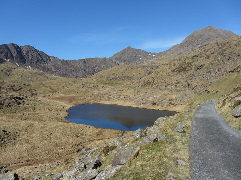
  • Llyn y Foel, a lake held in a rocky bowl below the summit ridge, and the natural place to pause before the final climb.
  • A trig pillar and a stone shelter/windbreak on top, which is where most people eat lunch and hide from the wind.
Two ways to the topThe classic circuit is roughly 9 to 10 km (about 6 miles) with somewhere around 750 to 800 m of…

The classic circuit is roughly 9 to 10 km (about 6 miles) with somewhere around 750 to 800 m of ascent, typically 4 to 5 hours at a steady pace. Times and distances shift depending on the start point and line you take.

  • The easier line: avoids hands-on scrambling and is the sensible choice for most fit hill walkers. It is still steep and rough in places, with loose and rocky ground.
  • Daear Ddu ridge: a sustained Grade 1 scramble along the rocky edge above Llyn y Foel. It is a genuine step up in commitment, with exposure and a need for steady movement on rock. Choose it only if you are comfortable using your hands and happy with heights.
PreparationThe upper mountain is exposed and can be seriously windy, and rock becomes slippery when wet.

The upper mountain is exposed and can be seriously windy, and rock becomes slippery when wet. The scramble is demanding and unsuitable for inexperienced walkers or most dogs. Pick a clear, settled day for the panorama, but be prepared to navigate if cloud arrives.

  • Proper hill-walking gear: boots with grip, waterproofs, warm layers, food and plenty of water.
  • Map, compass and the skills to use them, since cloud can sit on the summit plateau and the ground is rocky and featureless in poor visibility.
  • Winter conditions may require specialist equipment and experience, and the scramble becomes a much bigger undertaking.
  • Take care where boulders are stacked, as there are gaps and holes between rocks on parts of the upper mountain.

Wildlife

Wildlife in Eryri

All Eryri wildlife maps

Sighting maps show where each species has been reported across Eryri. Wildlife moves, so no sighting is guaranteed.

Keep exploring

Near Moel Siabod

See it all on the map

Trails nearby

More stops nearby

Parkwolf’s Eryri ranking

Top sights in Eryri

All 84 places
  1. 1Yr Wyddfa (Snowdon)Sight
  2. 2Snowdon Mountain RailwaySight
  3. 3Cader IdrisSight
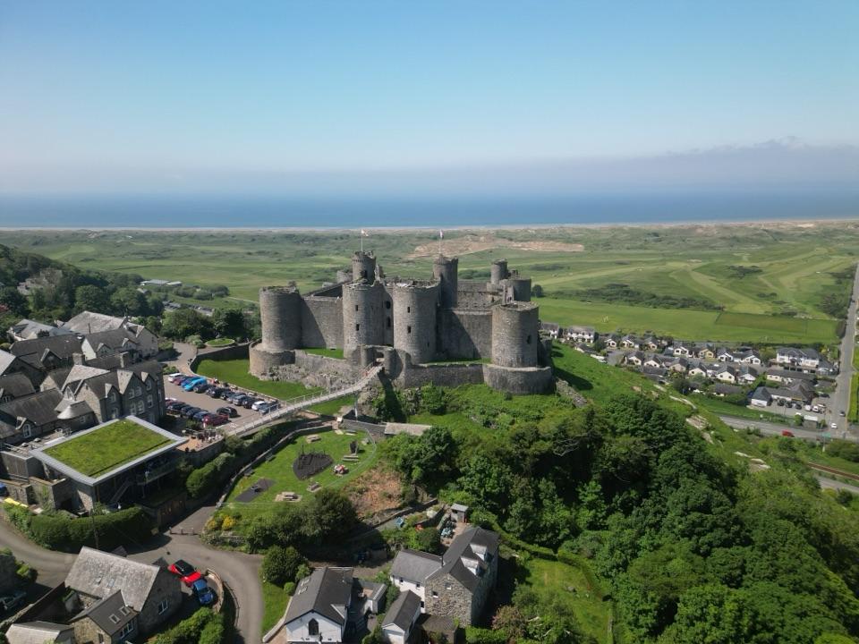
  4. 4Harlech CastleSight
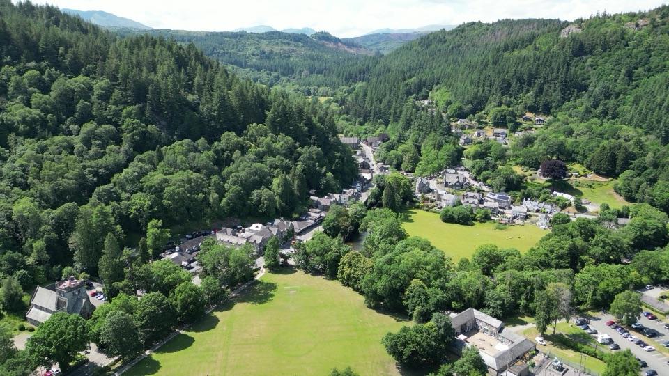
  5. 5Betws-y-CoedSight
  6. 6LlanberisSight

Take Parkwolf to Eryri.

The audio tour guide for the drive, plus offline maps, trails, and wildlife heatmaps for when the signal drops.

4.7 from 8,600+ ratings

Download Parkwolf on the App StoreGet Parkwolf on Google Play