Parking
Bryn Glo car park off the A5 near Pont Cyfyng, just outside Capel Curig. The route starts with a short road and bridge approach before forest tracks and mountain paths.
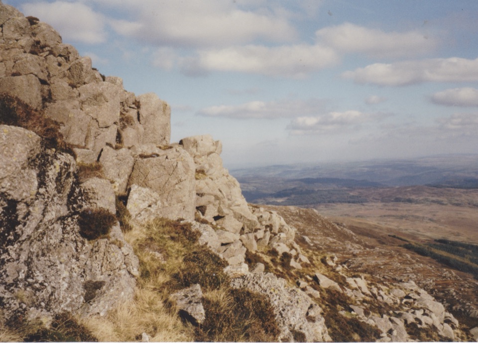
Eryri National Park, WA
Steep 6.5-mile circular loop with a hands-on Grade 1 ridge scramble
Overview
Map & elevation
Plan your hike

The highest, rockiest slopes around here are a summer buffet for grizzly bears.
Eryri Tour Guide
Parkwolf is a GPS audio tour guide for Eryri National Park. As you drive, it chimes in with what’s ahead: hidden gems, upcoming stops, history, geology, and wildlife, right through your car’s speakers.
Recorded for this trailhead
Moel Siabod from Bryn Glo“You're approaching the Bryn Glo start for Moel Siabod, a proper mountain day above the old slate workings.”
Plays as you drive up to this trailhead in the Parkwolf Eryri Tour Guide.
More stories near here in the app
“Fantastic app with many points of information… It’s great to just turn on while you’re driving and it gives you an audio tour of the national Park. We love it!!!!”


Trail guide
A 6.5 mile / 10.5 km circular loop from Bryn Glo, returning to the same car park, with roughly 740 to 820 m of climbing to the 872 m summit of Moel Siabod. Budget 5 to 6 hours with stops, and more if you linger at the lake or pick your way slowly up the ridge.
From the car park you cross toward the bridge and the Cyfyng Falls area, then follow lanes and forest tracks that ease you into the day. The gradient bites once you join the steep track past the old slate quarry workings, all spoil heaps, cuttings and abandoned stonework. Above that the ground opens out to Llyn y Foel, a dark lake sitting in a hollow directly under the mountain's east face, which is where the route stops feeling like a forest walk and starts feeling like a mountain.
From the lake the Daear Ddu ridge rises on your left. It is a sustained Grade 1 scramble on good rock with occasional exposure and plenty of hands-on moves, and it delivers you almost straight onto the summit. On a clear day you get the surrounding Eryri ranges laid out and the Snowdon massif across the valley. The loop is then completed by the descent off the north-east side back toward the forestry roads.
This is a proper steep mountain day rather than a stroll, and the ridge is the crux. Nothing on it is technical, but you will be using your hands, and a slip in the wrong place matters. A lower, easier line skirts around the ridge if you would rather not commit, and taking it costs you very little in terms of views.
Terrain to expect:
The approach is straightforward. The north-east descent is the part that catches people out: the line off the summit plateau is vague, the ground is boulder-strewn and boggy, and the correct exit toward the forestry roads is genuinely hard to find in cloud or fading light. Carry a map and compass or a GPS track and know how to use them, and think twice about the loop in poor visibility.
Clear, dry conditions are preferable for this loop. Wet rock on the ridge is slick, and low cloud strips out both the views and the landmarks you need on the descent. Longer daylight gives you more margin for a slow ascent of the ridge. In winter the ridge can hold snow and ice, which changes the character of the day considerably and makes it a mountaineering objective rather than a walk.
Start from the Bryn Glo car park off the A5 near Pont Cyfyng, just outside Capel Curig. It is small and fills early on fine weekends, so arriving before mid-morning is the sensible plan. The whole route uses public footpaths, forest roads and open access land.
Dogs are legally fine here on footpaths and open access land, under control. On open access land use a lead from 1 March to 31 July, and any time you are near livestock or ground-nesting birds. Be honest about the ridge before you set off: the scramble involves steep rock steps that plenty of dogs cannot manage safely, and the easier flanking line is the better call if yours is not a confident scrambler.
Wildlife
 77 sightingsGrey HeronMost seen around 7 AMSighting map
 17 sightingsTawny OwlMost seen around 6 AMSighting map
 32 sightingsCommon RavenMost seen around 8 AMSighting map
 21 sightingsGreat Spotted WoodpeckerMost seen around 7 AMSighting map
 18 sightingsEuropean RabbitMost seen around 7 AMSighting map
 161 sightingsViviparous LizardMost seen around 10 AMSighting map
Sighting maps show where each species has been reported across Eryri. Wildlife moves, so no sighting is guaranteed.
Keep exploring
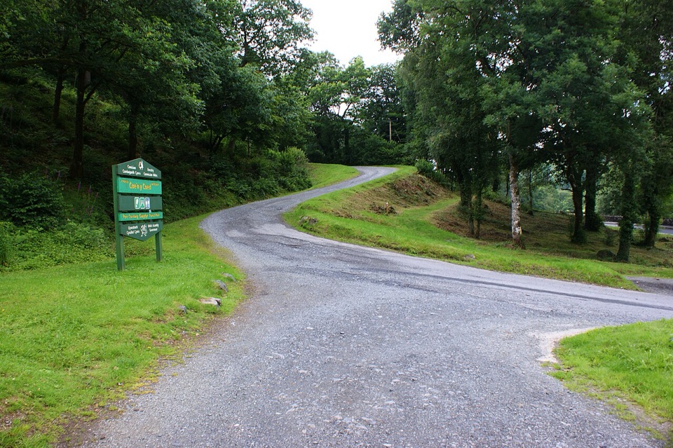 ChallengingCraig-Forris Walk3.3 km · 1.8 hr · 2.6 km awayShort, steep loop through an old arboretum to a mountain panorama
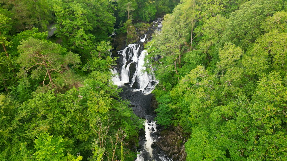 ChallengingSwallow Falls Walk3.5 km · 2 hr · 3.2 km awaySteep woodland loop to a waterfall viewpoint and Moel Siabod panoramas
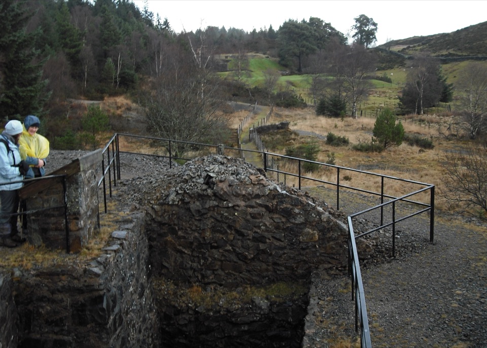 ModerateCyffty Mine Trail0.5 km · 20 min · 4 km awayPeer into a covered lead-mine shaft on a half-kilometre heritage loop
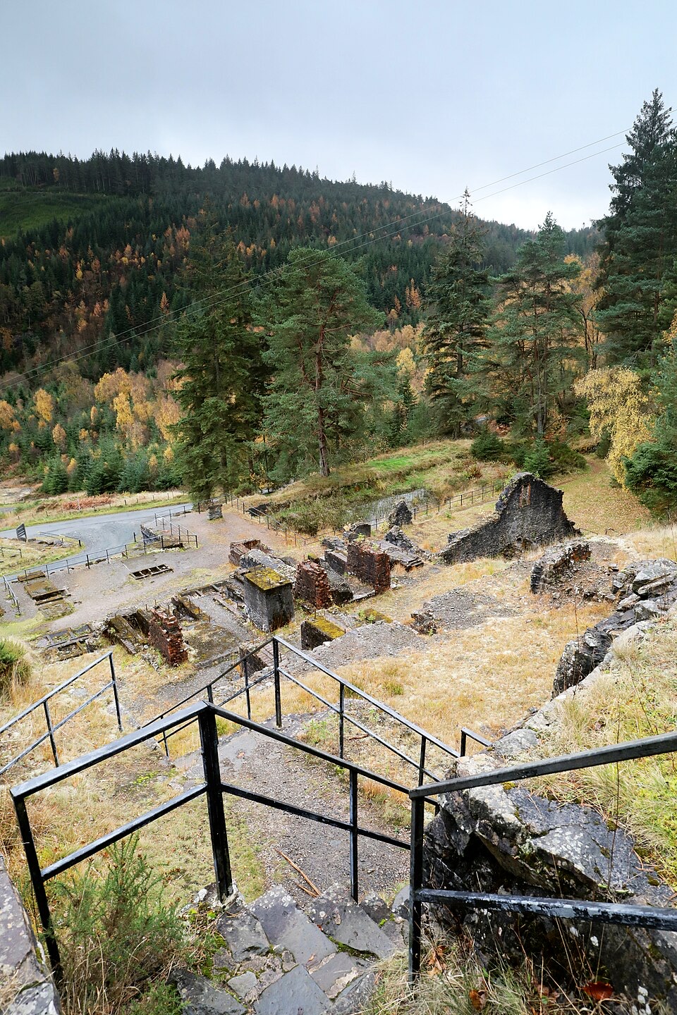 ModerateForest Lakes Walk4.2 km · 1.5 hr · 4.7 km awayThree upland reservoirs, a lead mine and a cliff-edge view above Llanrwst
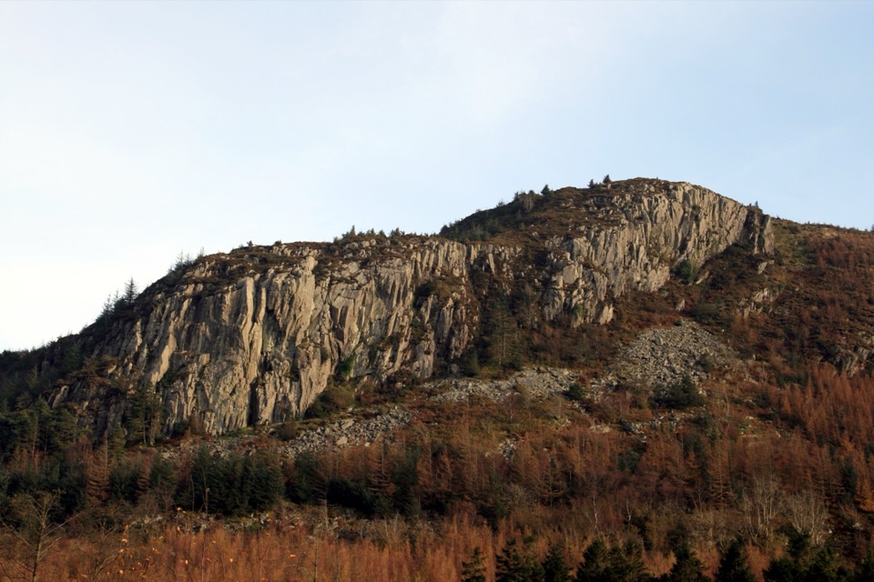 ModerateCwm Penamnen (Long)9.5 km · 3 hr · 4.9 km awayQuiet valley climb to a Roman road and 15th-century ruins
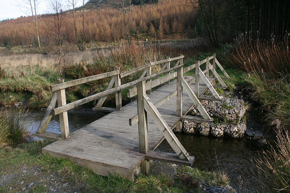 EasyCwm Penamnen (Short)3.5 km · 1.3 hr · 4.9 km awayQuiet forest loop above Dolwyddelan, with a river bridge and Roman road
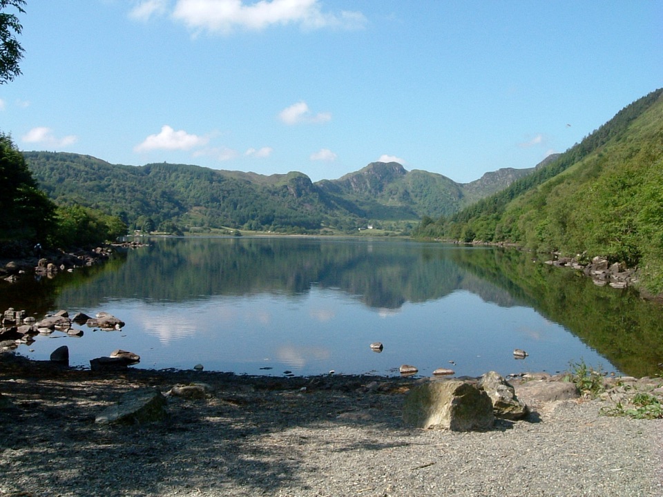 EasyLlyn Crafnant Circuit5 km · 1.5 hr · 5.1 km awayEasy 5 km lakeside loop beneath the crags of Crafnant Valley
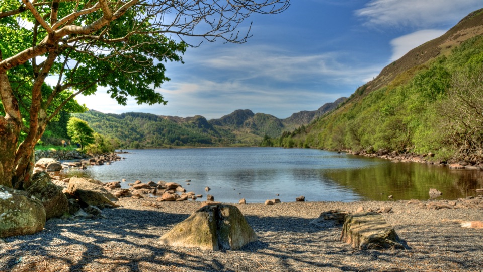 ChallengingCrafnant View Walk4.7 km · 2 hr · 5.2 km awayShort strenuous lakeside loop to a panoramic Crafnant Valley viewpoint
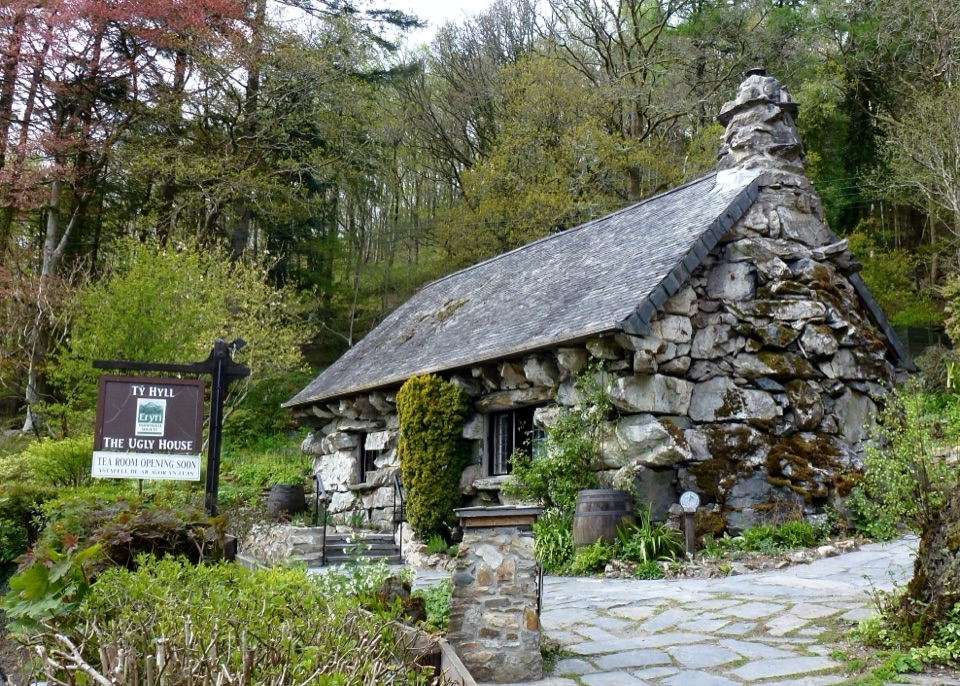 Sight · 2 km awayTŷ Hyll (The Ugly House)A storybook stone cottage with a surprisingly lovely pollinator garden
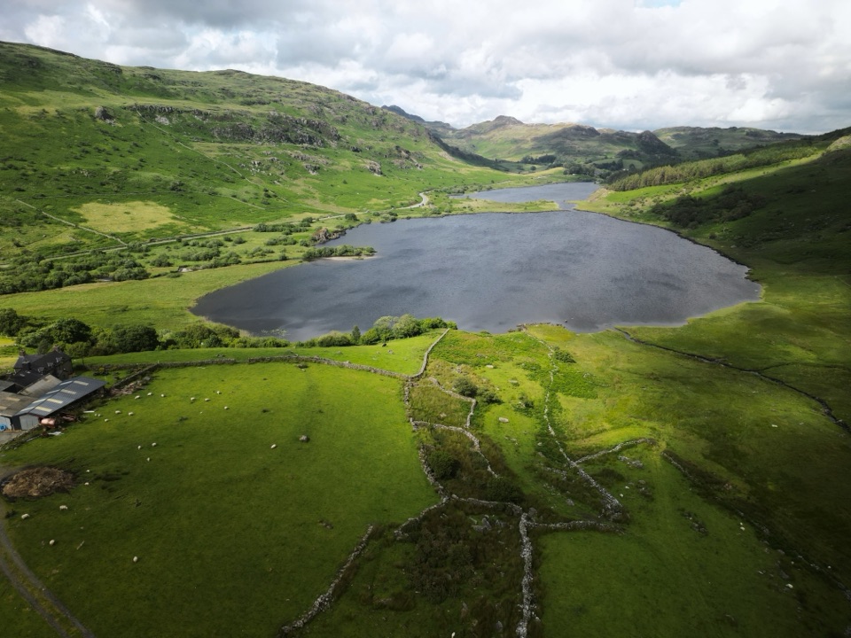 Sight · 2.7 km awayLlynnau MymbyrTwin lakes with Eryri’s classic Yr Wyddfa reflection
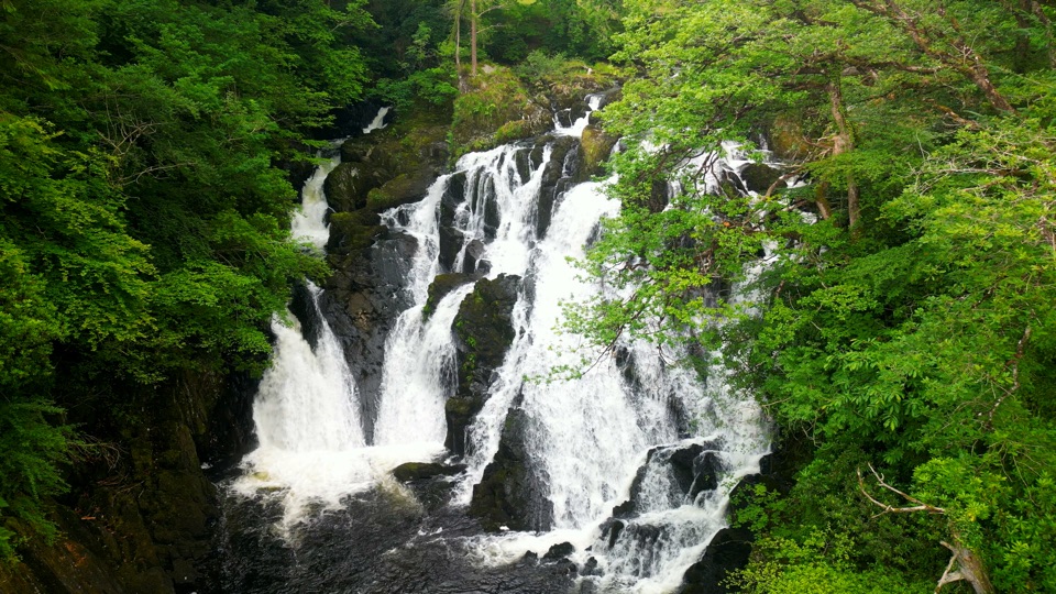 Sight · 3 km awaySwallow Falls (Rhaeadr Ewynnol)Foaming cascades plunge through a limestone gorge beside the A5
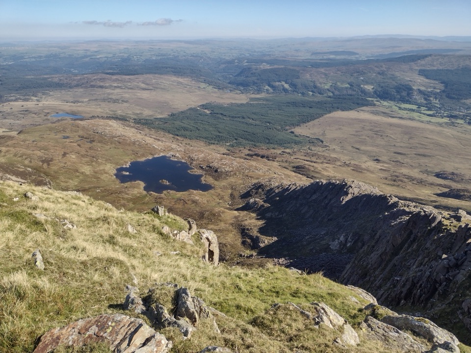 Sight · 3.9 km awayMoel SiabodWide panorama from a quieter summit above slate ruins and lake
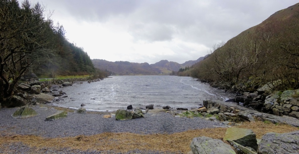 Sight · 4.2 km awayLlyn CrafnantA forest-ringed reservoir with easy lake walks and mountain reflections
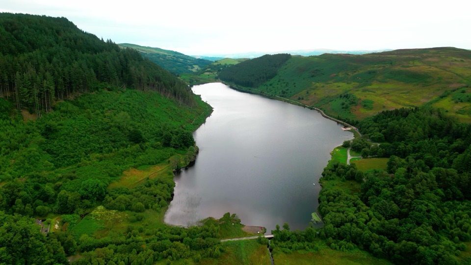 Sight · 4.3 km awayLlyn GeirionyddA forest-framed lake with a poet's monument and mountain views
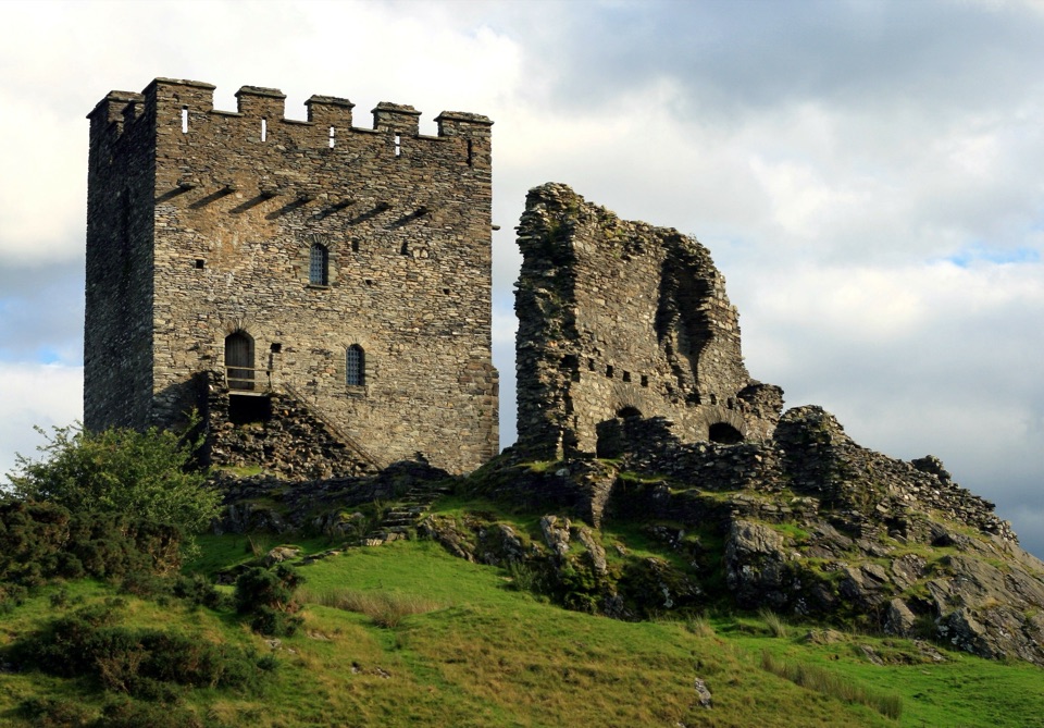 Sight · 4.9 km awayDolwyddelan CastleA rugged Welsh keep above the Lledr Valley
 Sight · 5.6 km awayGwydir Forest ParkWoodland lakes, old mines, and big views around Betws-y-Coed
Parkwolf’s Eryri ranking

The audio tour guide for the drive, plus offline maps, trails, and wildlife heatmaps for when the signal drops.




