Parking
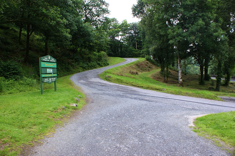
Cae'n y Coed car park, reached from the A5 about two miles west of Betws-y-Coed toward Capel Curig. Follow the signed entrance. Parking is free; no overnight parking.
Eryri National Park, WA
Short, steep loop through an old arboretum to a mountain panorama
Overview
Map & elevation
Plan your hike

The highest, rockiest slopes around here are a summer buffet for grizzly bears.
Eryri Tour Guide
Parkwolf is a GPS audio tour guide for Eryri National Park. As you drive, it chimes in with what’s ahead: hidden gems, upcoming stops, history, geology, and wildlife, right through your car’s speakers.
Recorded for this area
Swallow Falls“You're approaching Swallow Falls, where the Llugwy tumbles through a wooded gorge just off the A5. Its Welsh name, Rhaeadr Ewynnol, means foaming waterfall, and after heavy rain you'll see why.”
Plays on the road 0.4 km from the trailhead in the Parkwolf Eryri Tour Guide.
More stories near here in the app
“Fantastic app with many points of information… It’s great to just turn on while you’re driving and it gives you an audio tour of the national Park. We love it!!!!”


Trail guide
This is a waymarked circular walk of 2 miles (3.3 km) that starts and finishes at the Cae'n y Coed car park and picnic site. Follow the red waymarkers and allow 1.5 to 2 hours. The loop climbs hard from the car park through the forest garden, links forest roads with narrower woodland paths, reaches a knoll viewpoint with a bench, then drops back steadily to where you began.
Officially graded strenuous, and we rate it 7/10. The distance is modest, but the climb of roughly 167 to 188 m is concentrated in the first part of the walk, and the cumulative ascent adds up quickly on a short loop. The route mixes wide forest roads with rough narrow paths, some less than 60 cm wide, with mud, rocks and tree roots on rough, uneven surfaces. The descent needs attention.
The early climb passes through the old arboretum, a forest garden planted in the 1930s with unusual trees from around the world, so the lower section is worth walking slowly. Higher up you get glimpses of the Llugwy Valley through the trees before the knoll opens out to a broad panorama taking in Moel Siabod and the Carneddau, with Tryfan visible on clear days. A short signed diversion off the main route leads to a further viewpoint and picnic spot if you want to extend the walk before rejoining the waymarked loop.
Cae'n y Coed sits just off the A5, two miles west of Betws-y-Coed on the road toward Capel Curig. Parking is free, with no overnight parking. The grid reference SH 762 576 and postcode LL24 0DF only get you to the general area, so watch for the signed entrance off the main road rather than trusting a postcode pin.
The car park is a large picnic site with picnic tables and space for children to move around, and there is a bench at the viewpoint if you want to sit with the panorama. Dogs are welcome and should be kept under close control on the waymarked forest route and near roads, livestock or wildlife.
The hardest work comes first, with a steep pull straight out of the car park, and the linking paths are narrow and uneven rather than smooth forest track. If you want a gentle woodland stroll, this is not the walk for you. Come for a short, genuinely steep outing with a strong payoff at the top.
Wildlife
 77 sightingsGrey HeronMost seen around 7 AMSighting map
 17 sightingsTawny OwlMost seen around 6 AMSighting map
 32 sightingsCommon RavenMost seen around 8 AMSighting map
 21 sightingsGreat Spotted WoodpeckerMost seen around 7 AMSighting map
 18 sightingsEuropean RabbitMost seen around 7 AMSighting map
 161 sightingsViviparous LizardMost seen around 10 AMSighting map
Sighting maps show where each species has been reported across Eryri. Wildlife moves, so no sighting is guaranteed.
Keep exploring
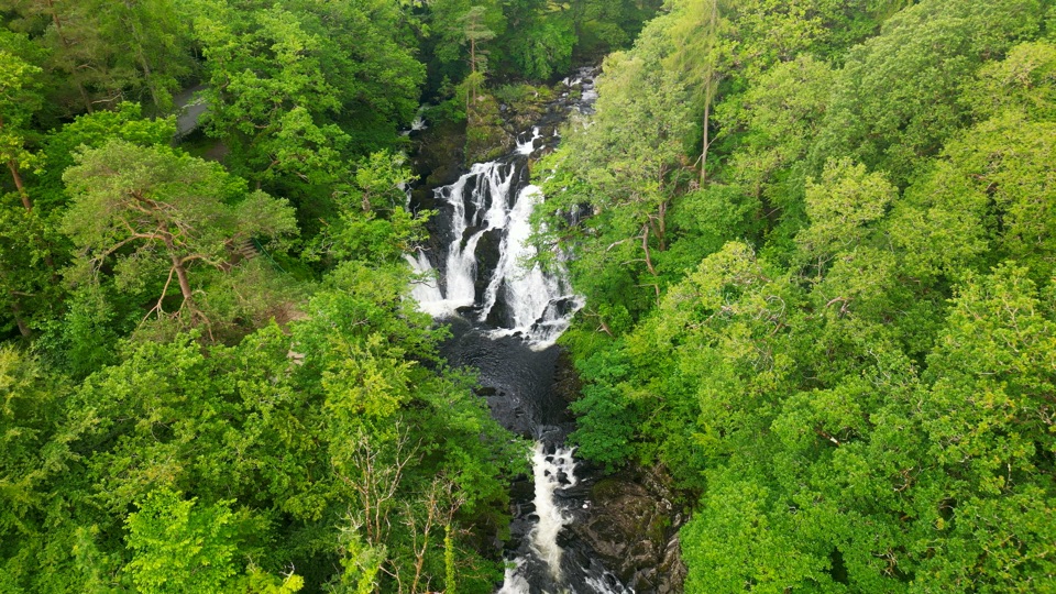 ChallengingSwallow Falls Walk3.5 km · 2 hr · 0.8 km awaySteep woodland loop to a waterfall viewpoint and Moel Siabod panoramas
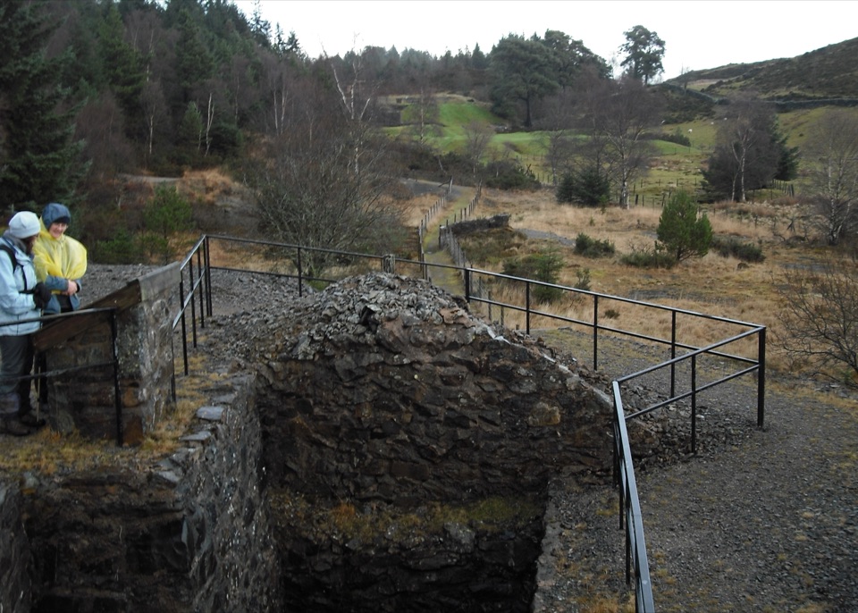 ModerateCyffty Mine Trail0.5 km · 20 min · 1.7 km awayPeer into a covered lead-mine shaft on a half-kilometre heritage loop
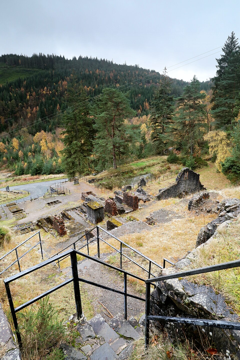 ModerateForest Lakes Walk4.2 km · 1.5 hr · 2.3 km awayThree upland reservoirs, a lead mine and a cliff-edge view above Llanrwst
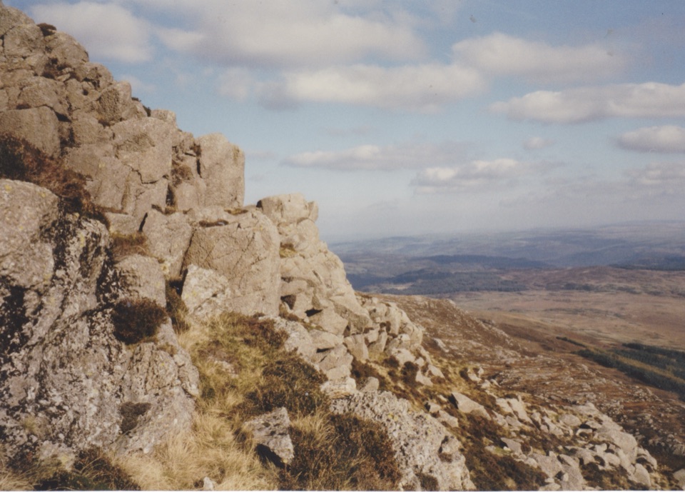 ChallengingMoel Siabod Circular10.5 km · 5.5 hr · 2.6 km awaySteep 6.5-mile circular loop with a hands-on Grade 1 ridge scramble
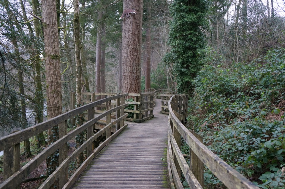 EasyCoed Tan Dinas Walk1.1 km · 30 min · 3 km awayRiver boardwalk, tall Douglas firs, picnic spot, all in 30 minutes
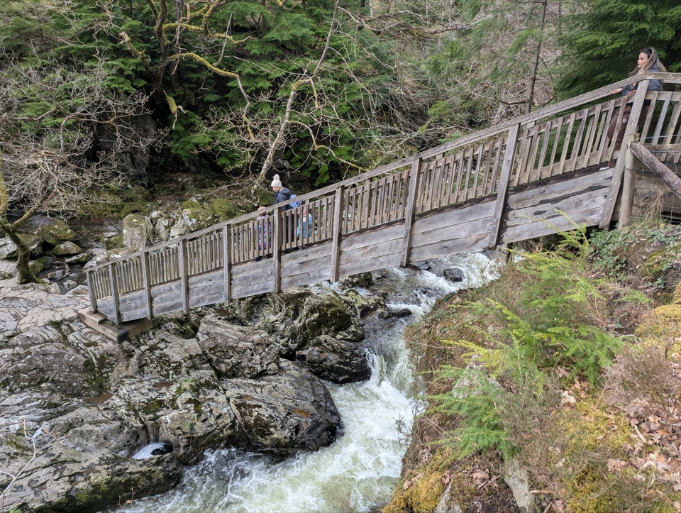 ModerateAfon Llugwy Riverside Walk2.4 km · 1.3 hr · 3 km awayRiverside loop through tall Douglas firs to the historic Miners' Bridge
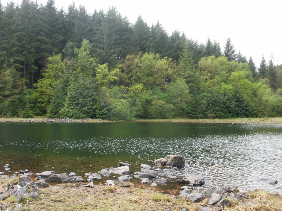 ChallengingLlyn Parc Walk6.9 km · 2.3 hr · 3.1 km awayStrenuous 4.3-mile forest loop past a viewpoint, lake and mine gorge
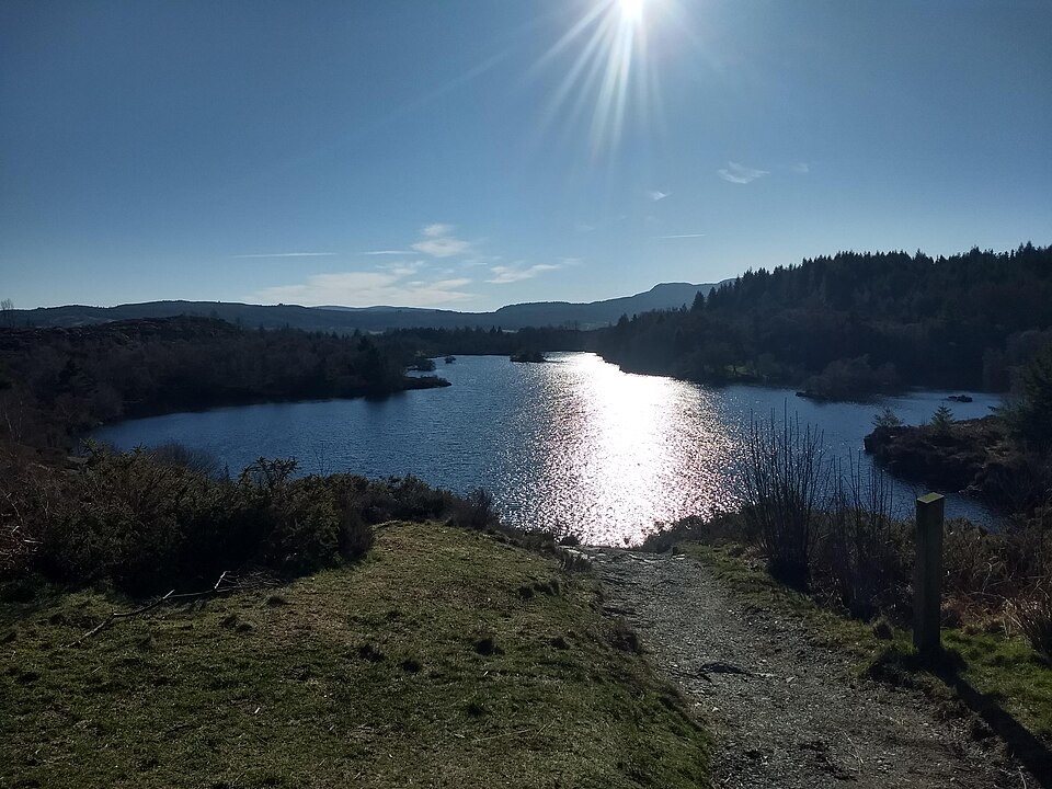 ChallengingLlyn Elsi Walk6.3 km · 2.5 hr · 3.4 km awaySteep forest climb from the village to a quiet island-dotted reservoir
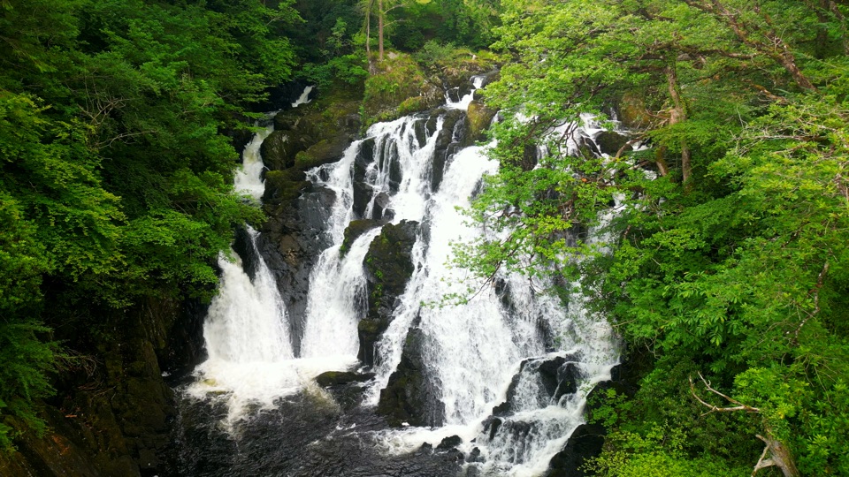 Sight · 0.4 km awaySwallow Falls (Rhaeadr Ewynnol)Foaming cascades plunge through a limestone gorge beside the A5
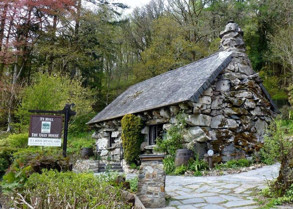 Sight · 0.6 km awayTŷ Hyll (The Ugly House)A storybook stone cottage with a surprisingly lovely pollinator garden
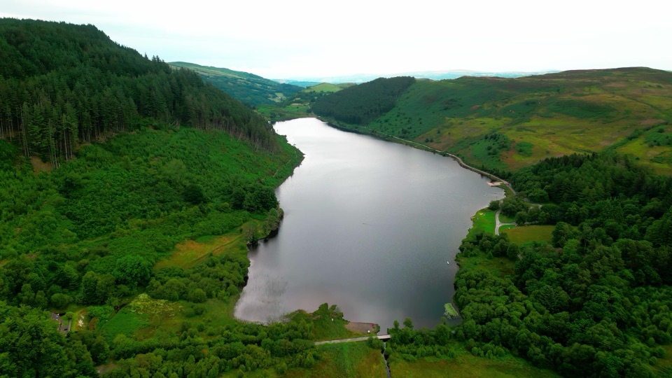 Sight · 2.9 km awayLlyn GeirionyddA forest-framed lake with a poet's monument and mountain views
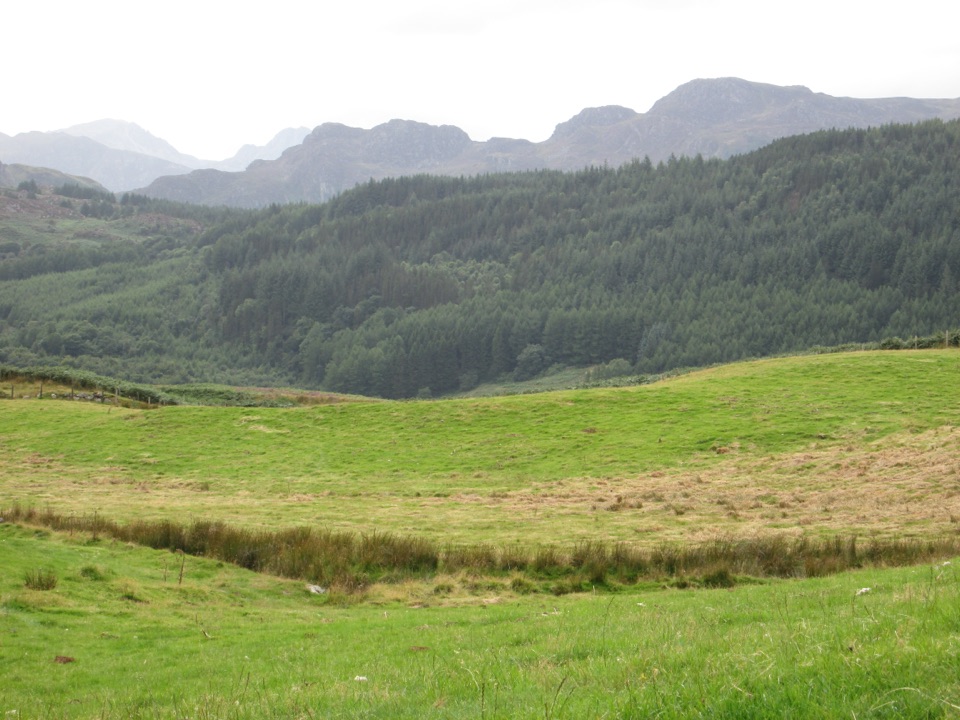 Sight · 3.1 km awayGwydir Forest ParkWoodland lakes, old mines, and big views around Betws-y-Coed
 Sight · 3.4 km awayBetws-y-CoedA forest-framed village of bridges, rivers, and Victorian character
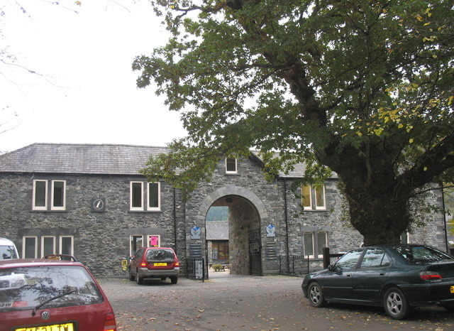 Visitor center · 3.4 km awayBetws-y-Coed Information CentreA practical base for maps, walks, and mountain-day know-how
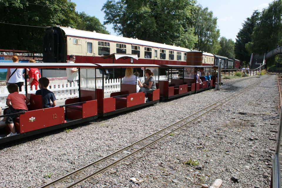 Sight · 3.5 km awayConwy Valley Railway MuseumMiniature trains and railway history beside Betws-y-Coed station
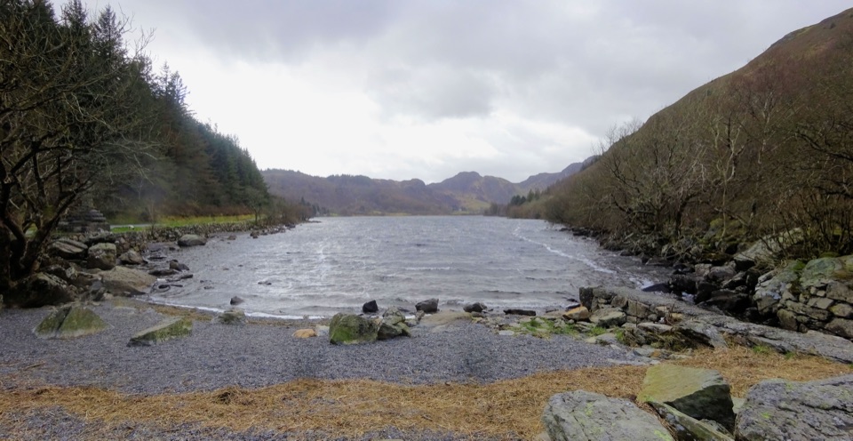 Sight · 3.7 km awayLlyn CrafnantA forest-ringed reservoir with easy lake walks and mountain reflections
Parkwolf’s Eryri ranking

The audio tour guide for the drive, plus offline maps, trails, and wildlife heatmaps for when the signal drops.




