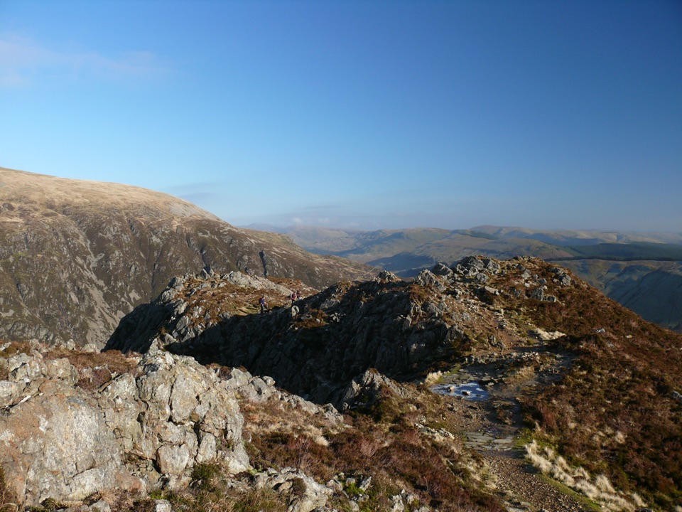
Parking
Pen y Pass Car Park is the start. Parking is limited and requires pre-booking, so plan ahead and consider the Sherpa’r Wyddfa bus from Nant Peris or Llanberis. Do not park in roadside lay-bys.

#4 of 120 trails in Eryri
Eryri National Park, WA
Gentle lakeside start, then a steep scree haul up to Yr Wyddfa
Overview
A there-and-back mountain route of 13 km (8 miles) round trip from Pen y Pass Car Park to the summit of Yr Wyddfa, with about 723 m (2,372 ft) of ascent and an official time of 6 hours. You return along the same corridor you walked up. The start is at the far-left corner of the car park, opposite the entrance.
Map & elevation
Plan your hike

The highest, rockiest slopes around here are a summer buffet for grizzly bears.
Eryri Tour Guide
Parkwolf is a GPS audio tour guide for Eryri National Park. As you drive, it chimes in with what’s ahead: hidden gems, upcoming stops, history, geology, and wildlife, right through your car’s speakers.
Recorded for this trailhead
Pen y Pass and Yr Wyddfa“You're approaching Pen y Pass, the starting point for the Pyg and Miners' tracks up Yr Wyddfa. Both are serious, roughly six-hour mountain walks, despite the Miners' Track's gentle opening beside the lakes.”
Plays as you drive up to this trailhead in the Parkwolf Eryri Tour Guide.
More stories near here in the app
“Fantastic app with many points of information… It’s great to just turn on while you’re driving and it gives you an audio tour of the national Park. We love it!!!!”


Trail guide
The opening stretch is a broad, gently rising track past Llyn Teyrn and on to Llyn Llydaw. Take the right fork to cross the Llyn Llydaw causeway, pass the ruined crushing mill of the Britannia Copper Mine, then climb steeply to Glaslyn. Above the lake the path turns to loose, slippery ground as it works up to Bwlch Glas, where a standing stone marks the junction with the Llanberis Path and the Snowdon Ranger Path. A final rocky leg leads to the summit.
Rated hard and strenuous, and a demanding full mountain day rather than a family walk. The easy-feeling first half can be misleading: the upper section is steep, rocky and often slippery underfoot, and it is the part most walkers find hardest. Bring fitness, navigation skills and full hill-walking gear, including boots with good grip and layers for wind. In winter conditions, snow and ice can make the upper route suitable only for experienced walkers with the right equipment and training.
The three lakes give the route its character: Llyn Teyrn, the long causeway crossing at Llyn Llydaw, and Glaslyn set in its steep bowl beneath the summit cliffs. The track itself was built to serve the copper mine, and the crushing mill and barrack remains beside the water are the clearest reminder of that industry. Rugged exposed rock lines the upper cwm, and the Cwm Dyli pipeline running down the valley is an easy landmark to pick out on the way back.
Pen y Pass is the shared access point for this route and the Pyg Track. Parking is limited and uses pre-booking, so plan transport well ahead; the Sherpa'r Wyddfa bus service reaches Pen y Pass from Nant Peris, Llanberis and other towns and is often the simpler choice. Do not park in roadside lay-bys or walk the narrow winding road to the pass.
Ordinary dogs are allowed on the routes up Yr Wyddfa, but the upper half here is steep, rocky and uneven, so judge honestly whether your dog is suited to that ground. If you want a longer, more gradual ascent instead, the Llanberis Path climbs at a steadier angle over a greater distance.
Wildlife
 77 sightingsGrey HeronMost seen around 7 AMSighting map
 17 sightingsTawny OwlMost seen around 6 AMSighting map
 32 sightingsCommon RavenMost seen around 8 AMSighting map
 21 sightingsGreat Spotted WoodpeckerMost seen around 7 AMSighting map
 18 sightingsEuropean RabbitMost seen around 7 AMSighting map
 161 sightingsViviparous LizardMost seen around 10 AMSighting map
Sighting maps show where each species has been reported across Eryri. Wildlife moves, so no sighting is guaranteed.
Keep exploring
 ChallengingYr Wyddfa Pyg Track and Miners’ Track Loop12.1 km · 6 hr · At the trailheadRocky climb to Wales's highest summit, down past lakes and mine ruinsChallengingPyg Track11 km · 6 hr · At the trailheadRugged rocky climb from Pen-y-Pass to Yr Wyddfa's summit and back
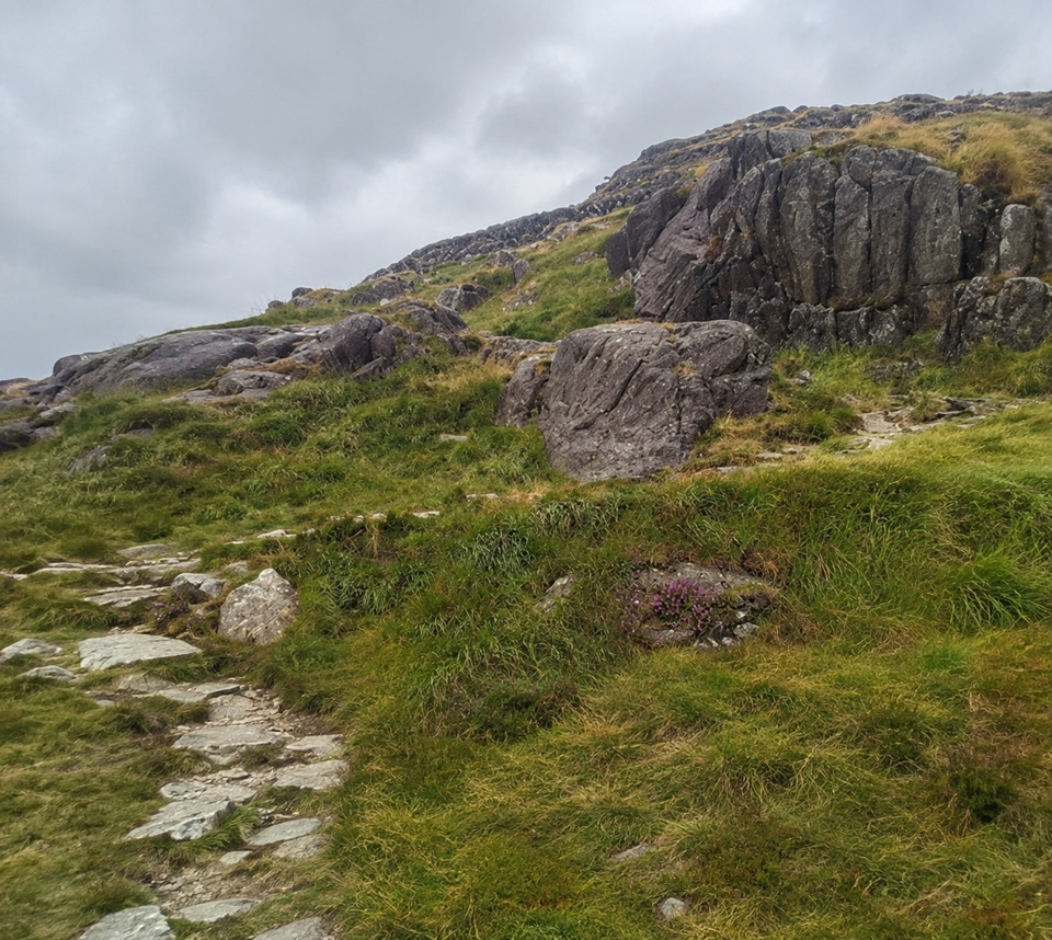 ChallengingPen y Gwryd to Pen y Pass2 km · 1 hr · 1.2 km awayA short, rough hill link that keeps you off the A4086 tarmac
 ModerateCwm Idwal Walk4.8 km · 3 hr · 4.8 km awayGlacier-carved bowl, stone lakeside path and the Devil's Kitchen headwall
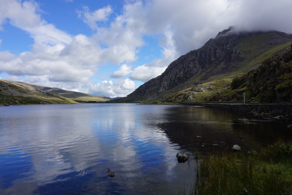 ModerateLlyn Ogwen Circular Walk4.7 km · 1.5 hr · 4.8 km awayBoulder-hopping lakeshore loop under Tryfan, back on the roadside pavement
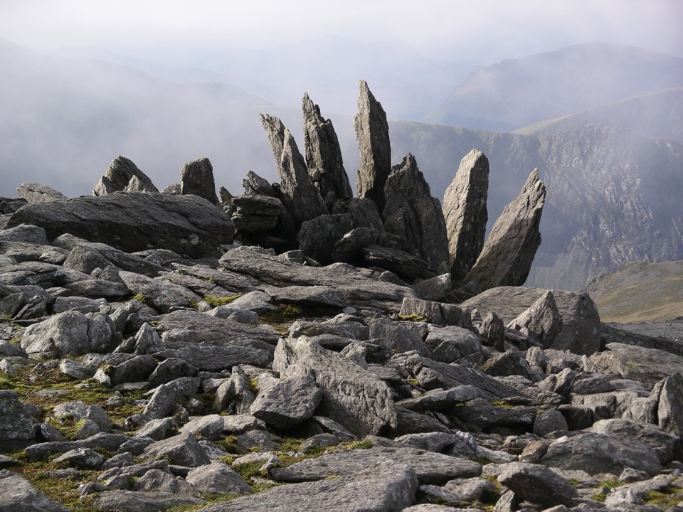 ChallengingGlyder Fawr and Y Garn via Devil’s Kitchen8.9 km · 5 hr · 4.8 km awayGlacial lake, dark cliffs, two 900m summits on one hard rocky loop
 ChallengingWatkin Path12.9 km · 6 hr · 5.2 km awayWaterfalls, slate ruins and a brutally steep finish to Yr Wyddfa's summit
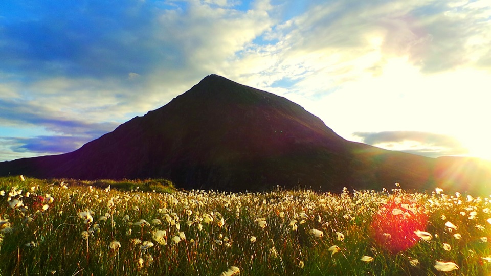 ChallengingHigh Carneddau from Llyn Ogwen15 km · 6.5 hr · 5.3 km awayThree Carneddau summits, one long rocky ridge, straight up from the A5
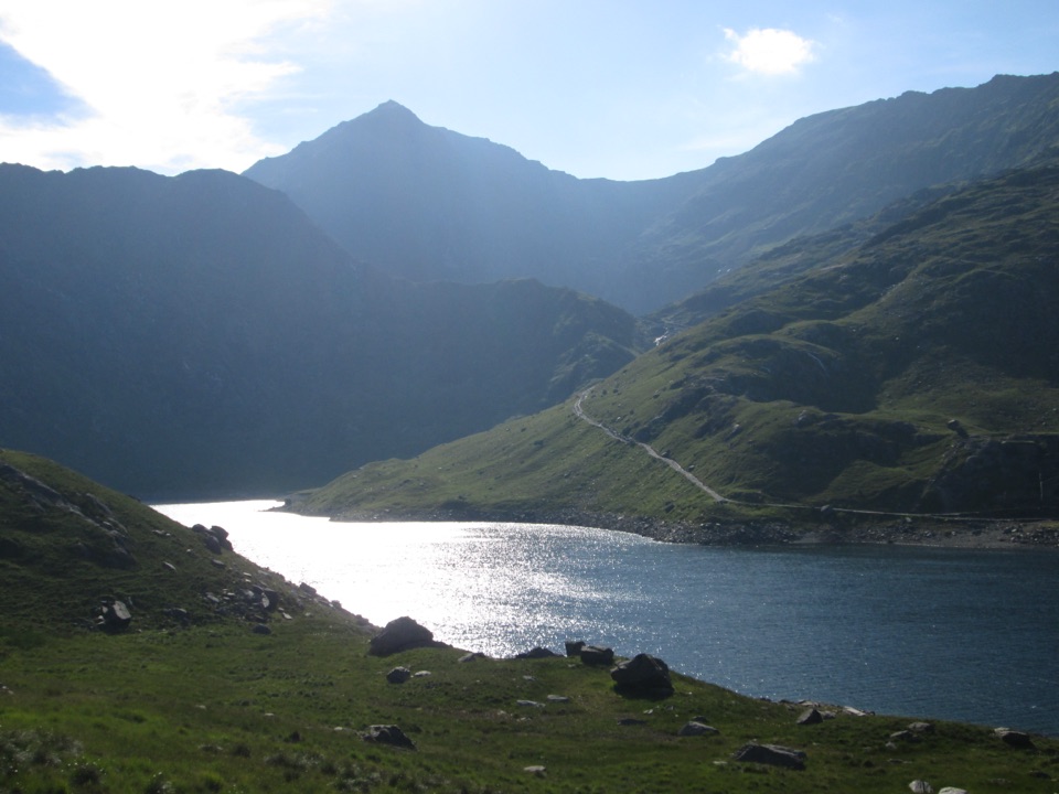 Sight · 2.3 km awayLlyn LlydawMountain lake crossed by a stone causeway below Yr Wyddfa
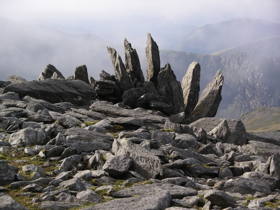 Sight · 2.4 km awayGlyder FawrA wild boulder plateau with wide views across Eryri
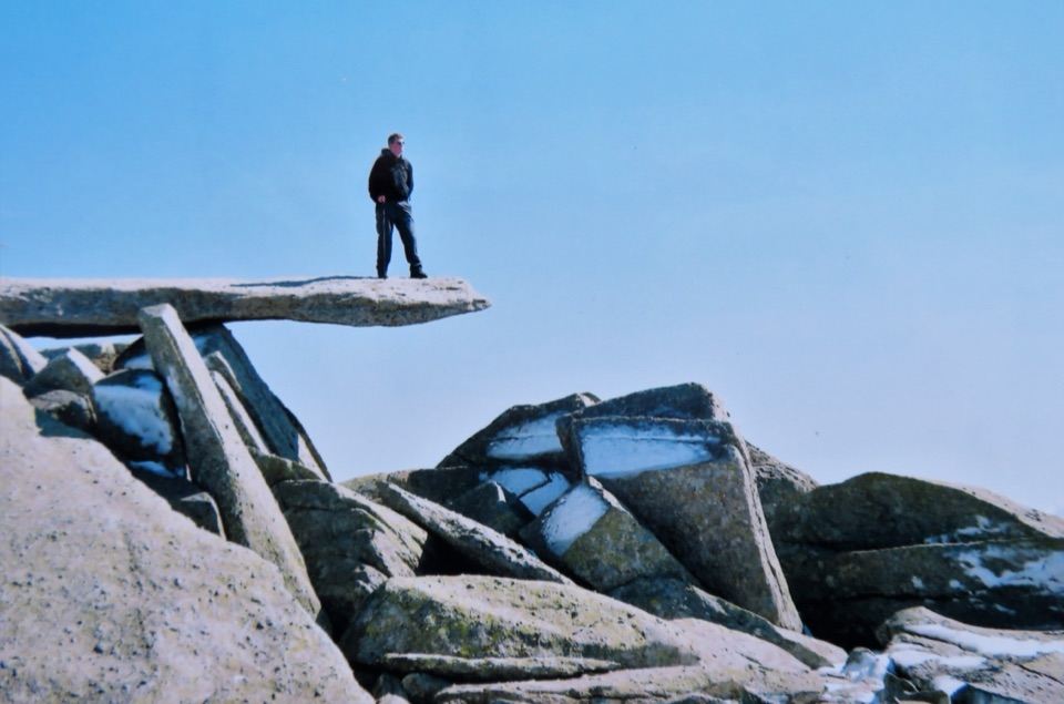 Sight · 2.9 km awayGlyder FachA jagged summit crowned by the famous Cantilever Stone
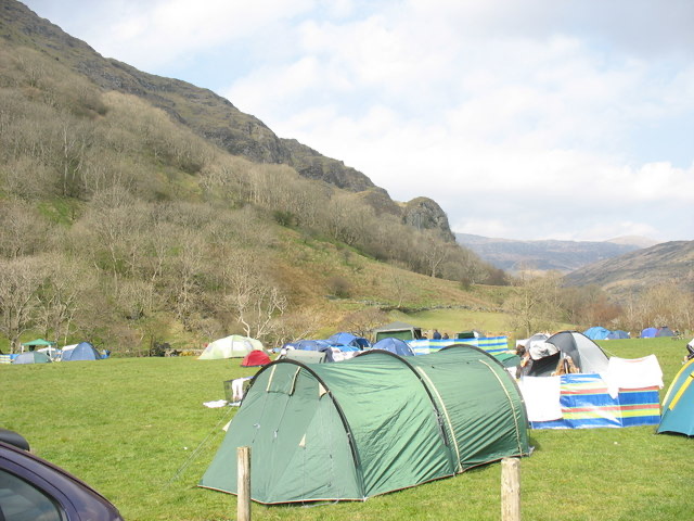 Campground · 3.1 km awayLlyn Gwynant CampsiteLakeside camping with direct access to wild swimming and mountain walks
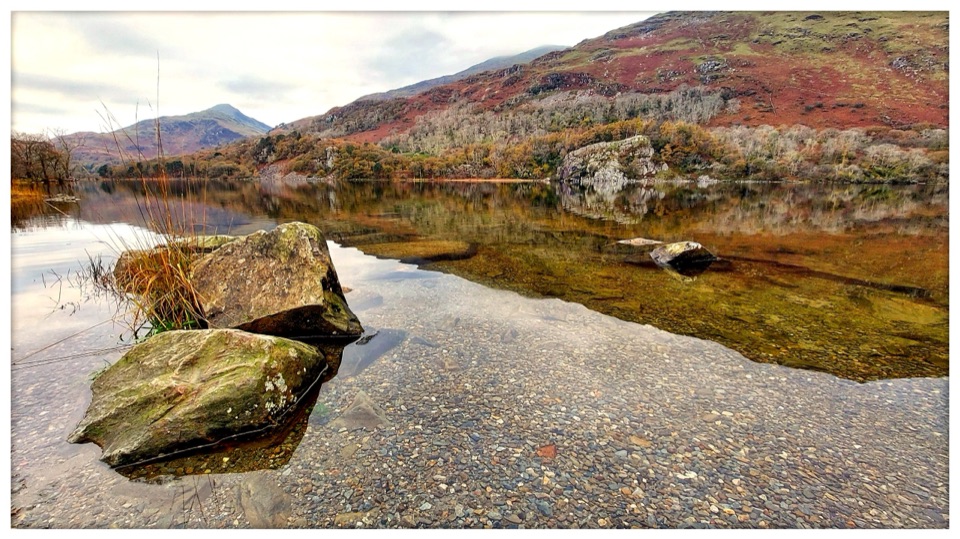 Sight · 3.7 km awayLlyn GwynantMountain reflections, cold swims, and a classic valley lake
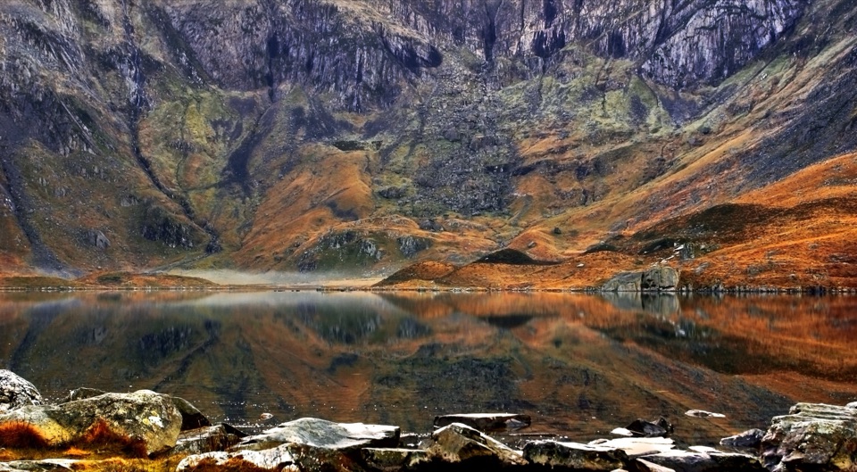 Sight · 3.9 km awayCwm IdwalA compact glacial amphitheatre wrapped around a mountain lake
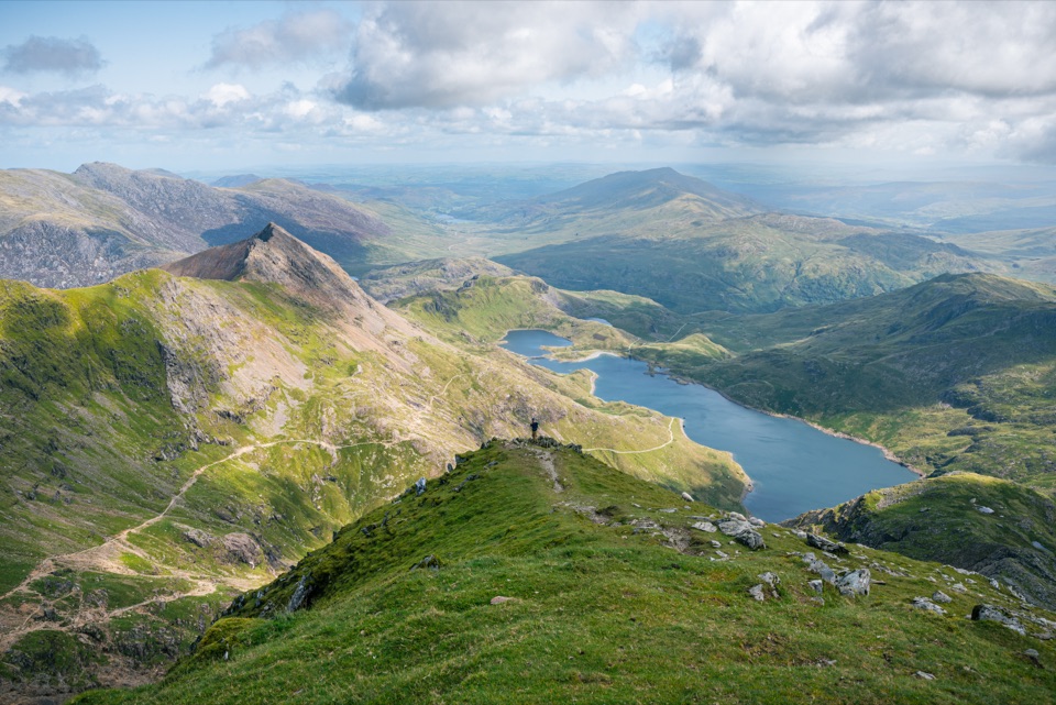 Sight · 3.9 km awayYr Wyddfa (Snowdon)Wales’ highest summit, with huge views when the clouds cooperate
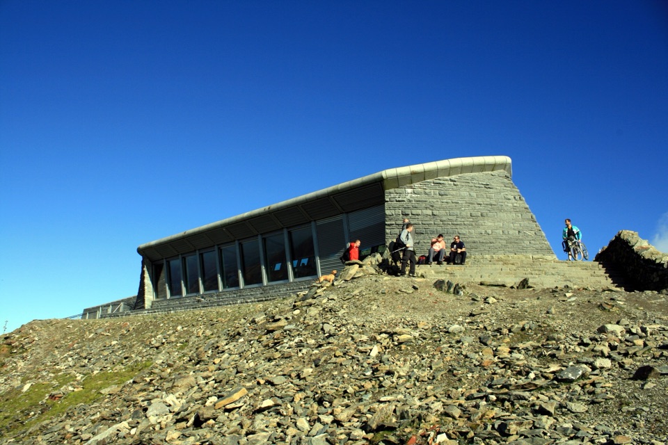 Visitor center · 4 km awayHafod Eryri Summit Visitor CentreA summit building with panoramic views and a hard-earned café stop
Parkwolf’s Eryri ranking

The audio tour guide for the drive, plus offline maps, trails, and wildlife heatmaps for when the signal drops.