Parking
Start at the community-managed car park by Dolwyddelan railway station. Parking is charged; the route begins by crossing the railway bridge.
Eryri National Park, WA
Quiet forest loop above Dolwyddelan, with a river bridge and Roman road
Overview
Map & elevation
Plan your hike

The highest, rockiest slopes around here are a summer buffet for grizzly bears.
Eryri Tour Guide
Parkwolf is a GPS audio tour guide for Eryri National Park. As you drive, it chimes in with what’s ahead: hidden gems, upcoming stops, history, geology, and wildlife, right through your car’s speakers.
Recorded for this trailhead
Cwm Penamnen Walks“You're approaching the Cwm Penamnen walks from Dolwyddelan.”
Plays as you drive up to this trailhead in the Parkwolf Eryri Tour Guide.
More stories near here in the app
“Fantastic app with many points of information… It’s great to just turn on while you’re driving and it gives you an audio tour of the national Park. We love it!!!!”


Trail guide
This is a circular loop of 3.5 km / 2.2 miles for the full round trip, starting and finishing at the Dolwyddelan railway station car park. Allow about an hour at a steady pace, or up to two if you stop at the bridge and picnic tables. The published ascent is 230 m.
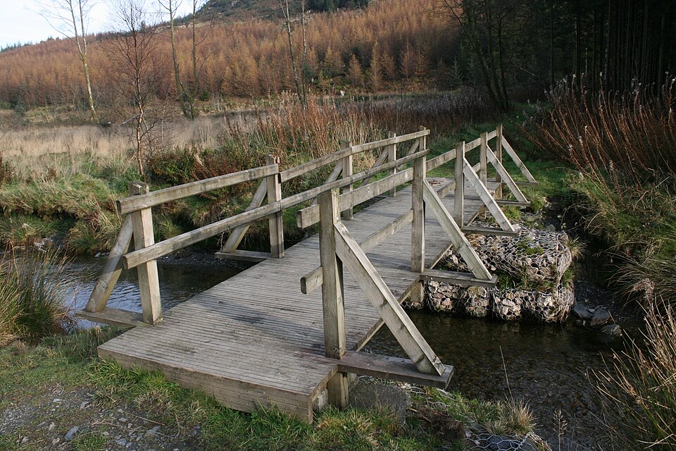
From the car park you walk out, cross the railway bridge and follow the road left, then turn toward Cwm Penamnen past Glan Gors and pick up the track through the trees. At the road junction take the waymarked right turn into the valley. The climb comes in gradually along here, with the high point reached before the path tips back down again, so there is no sustained steep pull. At the Pont Carreg Alltrem sign, turn right over the bridge across the Penamnen river, which frames a good view of Foel Goch. On the far bank you pass picnic tables, follow the track back toward the village past the Penamnen Houses, cross the railway bridge and return to the car park.
Graded Easy. Most of the walking is on a wide forest road and a single track tarmac lane, joined by a wide, well surfaced path and a footbridge. That mix keeps you on made surfaces rather than open hillside, which is part of why the grade stays gentle despite the ascent.
The payoff is the valley itself: the river crossing with Foel Goch ahead, two picnic tables near the bridge with mountain views, and a return along the line of the Sarn Helen Roman road. You also pass the Penamnen Houses, and Dolwyddelan Castle sits nearby if you want to add something after the walk. For photographs, the bridge view and the picnic table outlook work best in low, soft light early or late in the day, while the sections through the trees stay shaded and even toned.
This is not a popular route, so you can often have the valley largely to yourself. Set expectations properly though: it is a short, low traffic valley circuit with a gentle climb and forest track walking, not a summit day. If you want more, the longer Cwm Penamnen route carries on farther up the valley and takes about three hours. The short loop goes roughly a third of the way up before joining the longer route for its return leg.
Dogs are welcome on the public footpaths here, and should be on a lead around livestock and wildlife. Park at the small car park by Dolwyddelan railway station, which is community managed and charges for parking, so bring means to pay. It is a modest space, so an earlier start helps on busier weekends.
Wildlife
 77 sightingsGrey HeronMost seen around 7 AMSighting map
 17 sightingsTawny OwlMost seen around 6 AMSighting map
 32 sightingsCommon RavenMost seen around 8 AMSighting map
 21 sightingsGreat Spotted WoodpeckerMost seen around 7 AMSighting map
 18 sightingsEuropean RabbitMost seen around 7 AMSighting map
 161 sightingsViviparous LizardMost seen around 10 AMSighting map
Sighting maps show where each species has been reported across Eryri. Wildlife moves, so no sighting is guaranteed.
Keep exploring
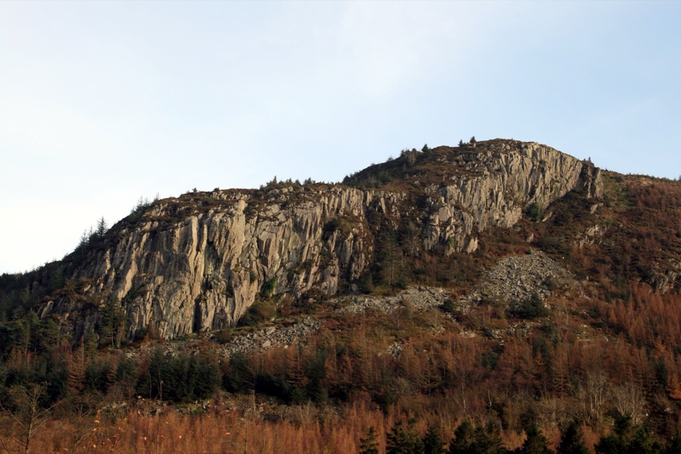 ModerateCwm Penamnen (Long)9.5 km · 3 hr · At the trailheadQuiet valley climb to a Roman road and 15th-century ruins
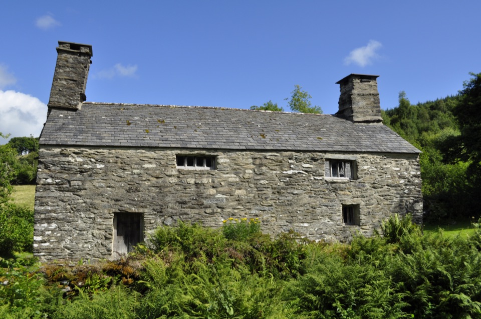 EasyTŷ Mawr Wybrnant and Cwm Wybrnant Walk1.6 km · 30 min · 3.4 km awayAn easy mile loop past the birthplace of the Welsh Bible
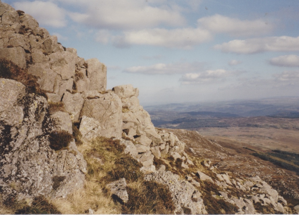 ChallengingMoel Siabod Circular10.5 km · 5.5 hr · 4.9 km awaySteep 6.5-mile circular loop with a hands-on Grade 1 ridge scramble
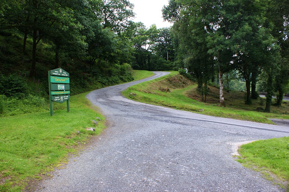 ChallengingCraig-Forris Walk3.3 km · 1.8 hr · 5.9 km awayShort, steep loop through an old arboretum to a mountain panorama
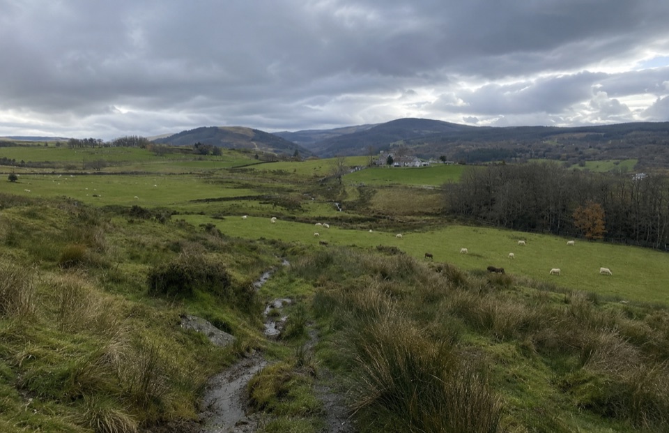 ModerateTy'n y Coed Uchaf and Cwm Eidda Walk8 km · 3.5 hr · 6.2 km awayFarm ruins, boggy uplands and Snowdon views on a five-mile loop
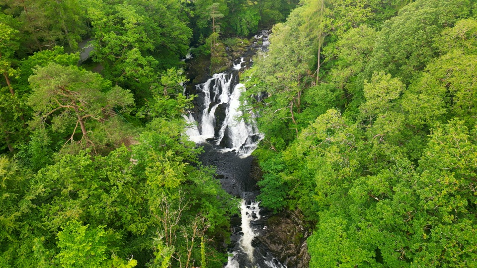 ChallengingSwallow Falls Walk3.5 km · 2 hr · 6.8 km awaySteep woodland loop to a waterfall viewpoint and Moel Siabod panoramas
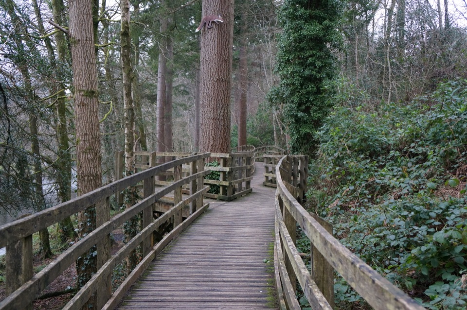 EasyCoed Tan Dinas Walk1.1 km · 30 min · 7 km awayRiver boardwalk, tall Douglas firs, picnic spot, all in 30 minutes
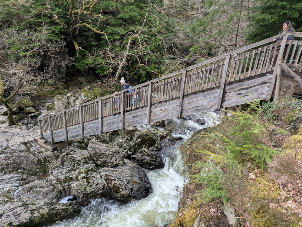 ModerateAfon Llugwy Riverside Walk2.4 km · 1.3 hr · 7 km awayRiverside loop through tall Douglas firs to the historic Miners' Bridge
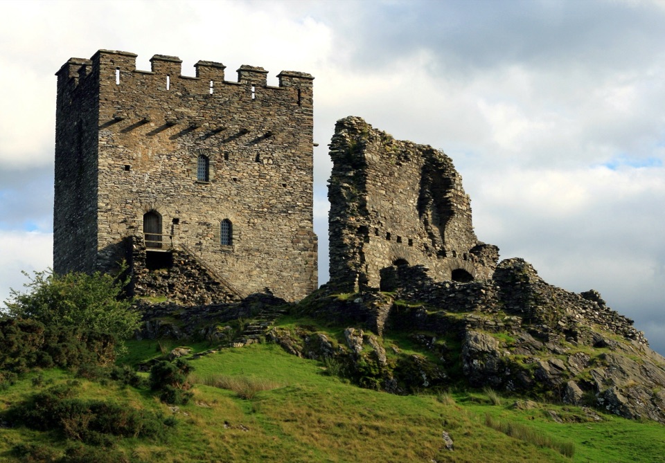 Sight · 1.6 km awayDolwyddelan CastleA rugged Welsh keep above the Lledr ValleySight · 3.3 km awayTŷ Mawr WybrnantA quiet Tudor farmhouse tied to the Welsh Bible's defining translation
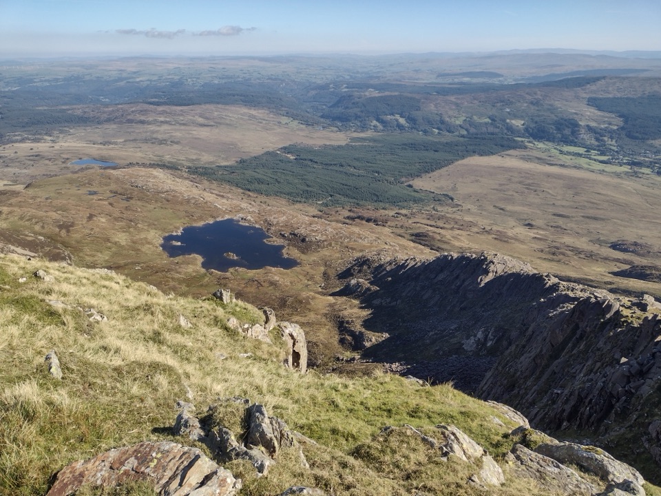 Sight · 4.1 km awayMoel SiabodWide panorama from a quieter summit above slate ruins and lake
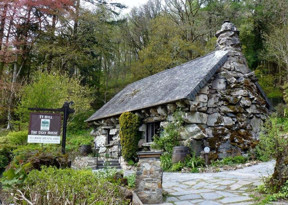 Sight · 5.7 km awayTŷ Hyll (The Ugly House)A storybook stone cottage with a surprisingly lovely pollinator garden
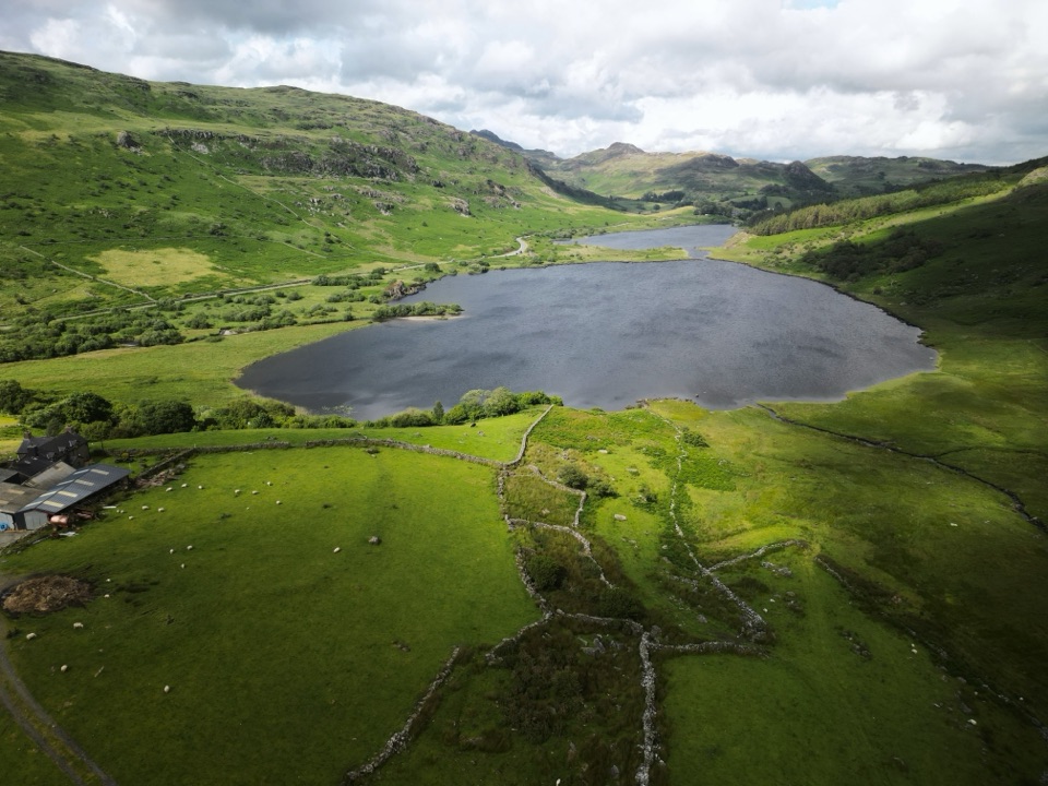 Sight · 5.9 km awayLlynnau MymbyrTwin lakes with Eryri’s classic Yr Wyddfa reflection
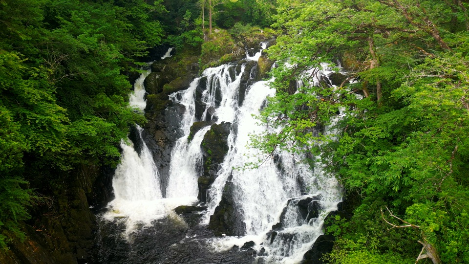 Sight · 6.3 km awaySwallow Falls (Rhaeadr Ewynnol)Foaming cascades plunge through a limestone gorge beside the A5
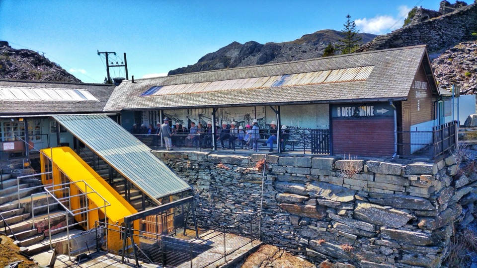 Sight · 6.4 km awayZip World LlechweddSlate mines turned into a full day of underground adventure
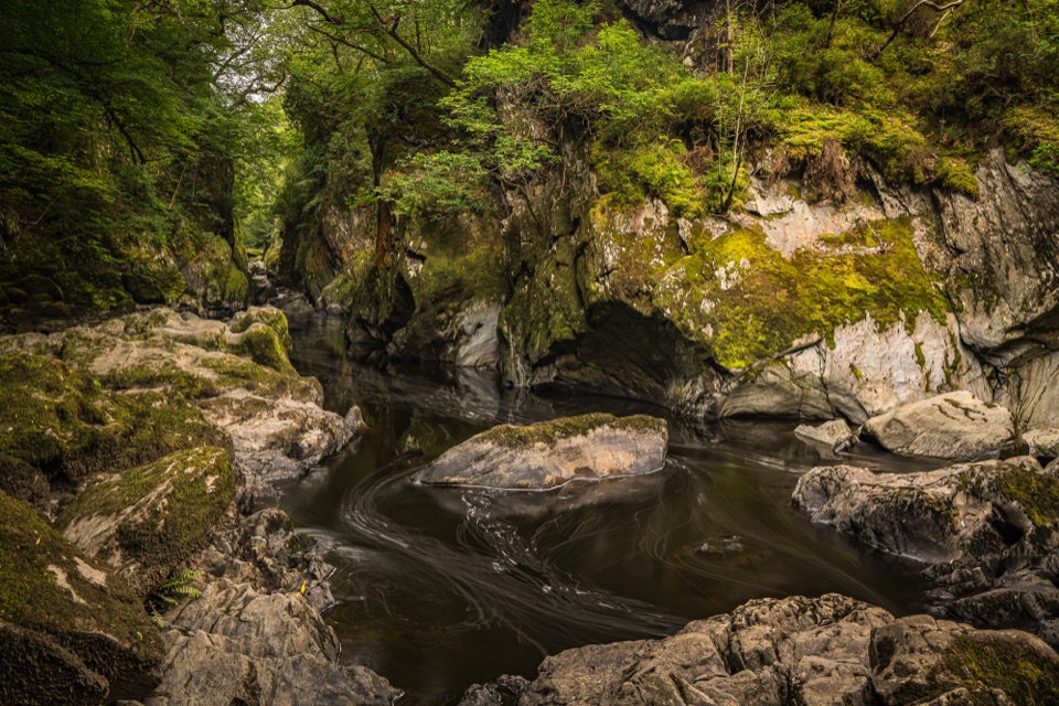 Sight · 6.7 km awayFairy Glen (Ffos Anoddun)Mossy rock gorge where the Conwy squeezes through wooded rapids
Parkwolf’s Eryri ranking

The audio tour guide for the drive, plus offline maps, trails, and wildlife heatmaps for when the signal drops.




