Pen y Gwryd to Pen y Pass in Eryri National Park

Eryri National Park, WA

Pen y Gwryd to Pen y Pass

A short, rough hill link that keeps you off the A4086 tarmac

Length
2km
Time
1hr
Elev. change
115m
Difficulty
Challenging
  • Dogs allowed
  • High point 383 m

Hear the audio tour

The Canoe Beneath the Causeway

Overview

About Pen y Gwryd to Pen y Pass

Why go

  • Safer off-road link between Pen y Gwryd and Pen y Pass
  • Big mountain setting in a compact walk

Heads up

  • Steep, rough and potentially scrambly for its length
  • Point-to-point logistics and no summit payoff on its own

Map & elevation

The route

Loading the Eryri map
Full map
Elevation268–383 m
TrailheadPen y Gwryd designated lay-by53.08073, -4.00344
Keep this map with you offline in the Parkwolf app

Plan your hike

Before you go

Parking

Start at the designated lay-by near Pen y Gwryd, off the A498 (SH659556). The route finishes at Pen y Pass car park, off the A4086 (SH647557). Return the same way if using it as a standalone walk, or arrange a lift or second car for a one-way connection.

Safety

Eryri rates this short path Hard/Strenuous: expect steep hills, rough rocky ground, stone steps, a wooden bridge and possible short scrambling. Navigation skills and full hill-walking gear are essential; specialist equipment may be needed in winter. Watch footing on wet rock and grass.

A park ranger sits on a dash-mounted phone, talking, as Parkwolf’s Tour Guide plays “Army Cutworm Moths: A Grizzly Bear Buffet” on Grand Loop Road below Dunraven Pass in Yellowstone
Parkwolf Tour GuideThe highest, rockiest slopes around here are a summer buffet for grizzly bears.

Eryri Tour Guide

Your drive to Pen y Gwryd to Pen y Pass, narrated.

Parkwolf is a GPS audio tour guide for Eryri National Park. As you drive, it chimes in with what’s ahead: hidden gems, upcoming stops, history, geology, and wildlife, right through your car’s speakers.

Recorded for this area

The Canoe Beneath the Causeway
0:00 / 0:29
“A prehistoric oak canoe turned up in Llyn Llydaw when workers built its stone causeway in eighteen fifty-three. It was about ten feet long, hollowed from a single tree trunk.”

Plays on the road 0.2 km from the trailhead in the Parkwolf Eryri Tour Guide.

More stories near here in the app

  • Pen y Pass and Yr Wyddfa
  • The Ocean Traveler in Llyn Gwynant
  • The Mountain Blackbird
  • The Chapel That Makes Power
  • 298 audio storiesacross Eryri’s roads, triggered by GPS as you drive
  • Wildlife heatmapsfor Grey Heron, Tawny Owl, Common Raven, and 9 more
  • Works offlinemaps, 120 trails, 82 places, and audio download before you lose signal
  • CarPlay readysimple controls built for the drive
★★★★★
“Fantastic app with many points of information… It’s great to just turn on while you’re driving and it gives you an audio tour of the national Park. We love it!!!!”
JMJamesApp Store review
Download Parkwolf on the App StoreGet Parkwolf on Google Play

4.7 from 8,600+ ratings

Trail guide

Hiking Pen y Gwryd to Pen y Pass

The route in shortThis is a purpose-made connector between the parking near Pen y Gwryd and Pen y Pass car park,…

This is a purpose-made connector between the parking near Pen y Gwryd and Pen y Pass car park, graded There and back again at 2 km (1.25 miles) in total, not one way, with an official duration of about 1 hour. It was created to give walkers an off-road alternative to the roadside walk along the A4086.

The sequence on the groundFrom the car, walk along the right-hand side of the road in the direction of Nant Gwynant, then…

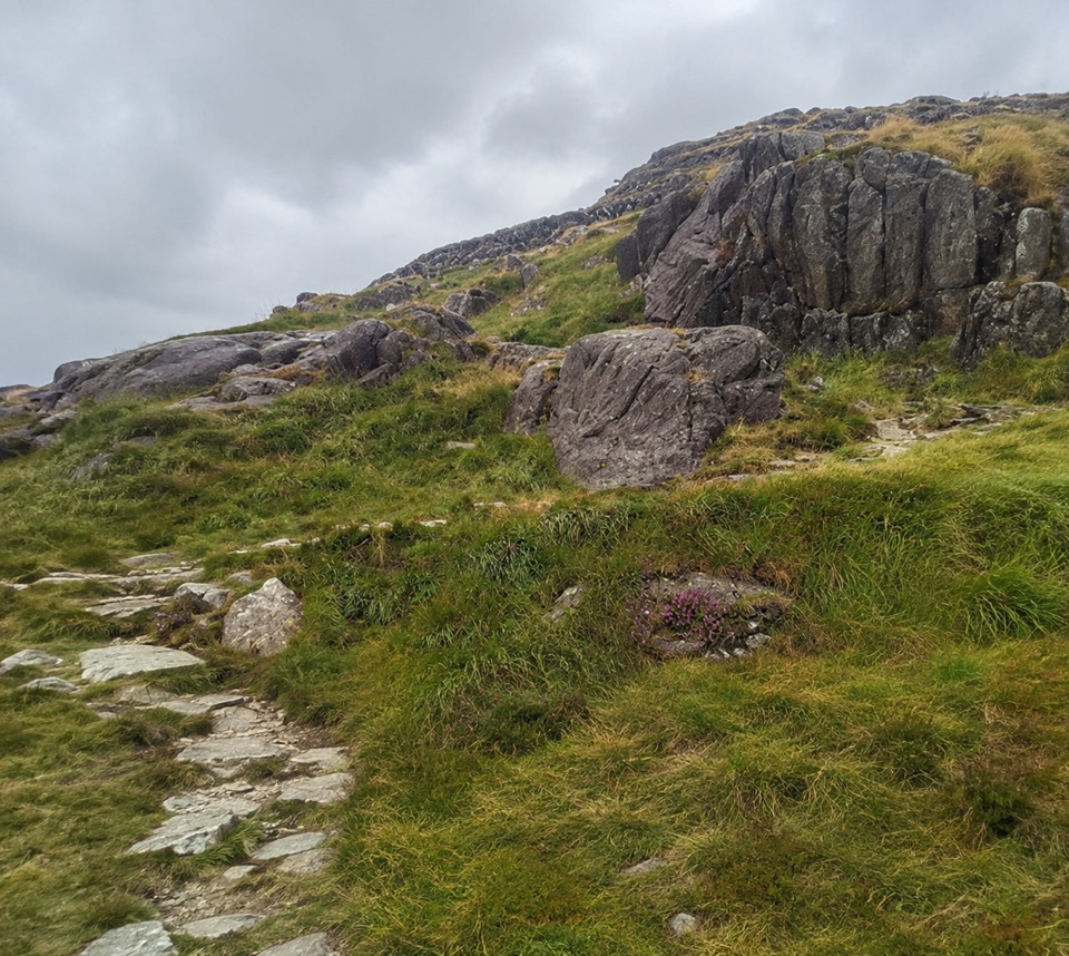
From the car, walk along the right-hand side of the road in the direction of Nant Gwynant, then go through a wooden kissing gate and bear right. Cross a wooden bridge, then follow the path signed toward Pen y Pass as it works around the hillside over rough, stepped ground. Keep right at a small junction, following the Pen y Pass sign, and finish through a second kissing gate at the car park.

At that end you meet the main mountain routes: left for the Miners' Track, right through the car park for the Pyg Track. Both are far longer summit walks and are in no sense extensions of this short path.

Why it is graded hardThe grading is Hard / Strenuous despite the short distance, and that is about terrain rather…

The grading is Hard / Strenuous despite the short distance, and that is about terrain rather than length. Expect steep hills, rough country and possible short scrambling sections. Ground underfoot is uneven and the mapped profile rises and falls repeatedly between roughly 270 m and 385 m rather than climbing steadily.

  • Navigation skills are essential, as is full hill-walking gear.
  • Specialist winter equipment may be needed in cold conditions.
  • Sturdy boots matter more here than on a road walk of the same length.
Parking and accessStart from the designated lay-by near Pen y Gwryd, off the A498 (grid reference SH659556).

Start from the designated lay-by near Pen y Gwryd, off the A498 (grid reference SH659556). The path ends at Pen y Pass car park, off the A4086 (grid reference SH647557). Because the two ends are different places, either walk back the way you came to return to your vehicle, or plan a second car or a lift if you only want to travel one way.

DogsDogs are allowed on public footpaths and open-access land.

Dogs are allowed on public footpaths and open-access land. Keep them under close control, use a short lead near livestock or wildlife, and on open-access land use a lead no longer than 2 m from 1 March to 31 July.

What to expect from the settingThe walk sits in the mountain pass between the Glyderau and the Snowdon massif, with open…

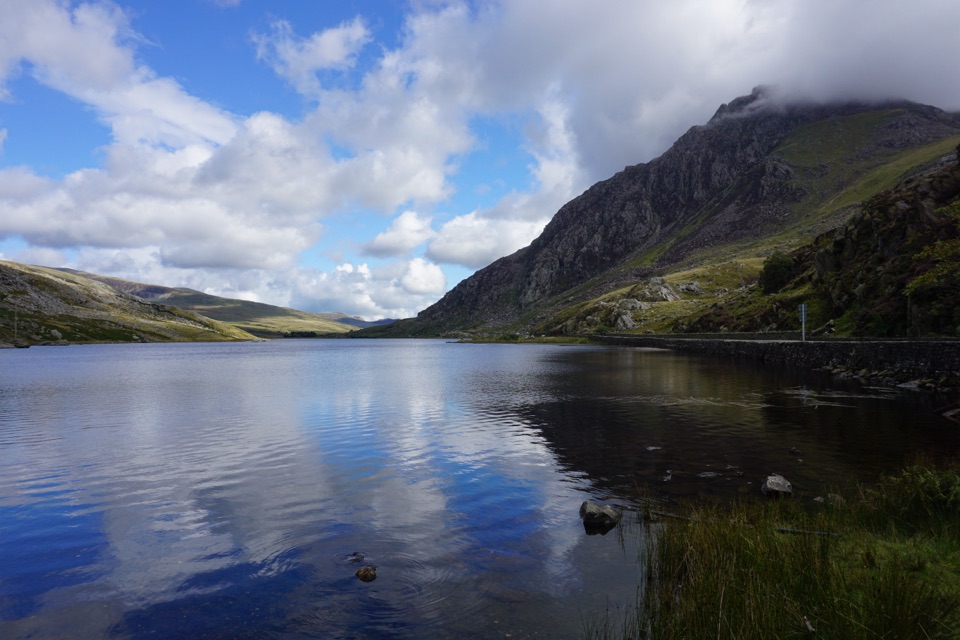
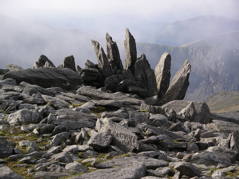
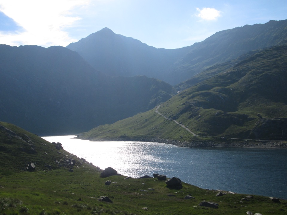
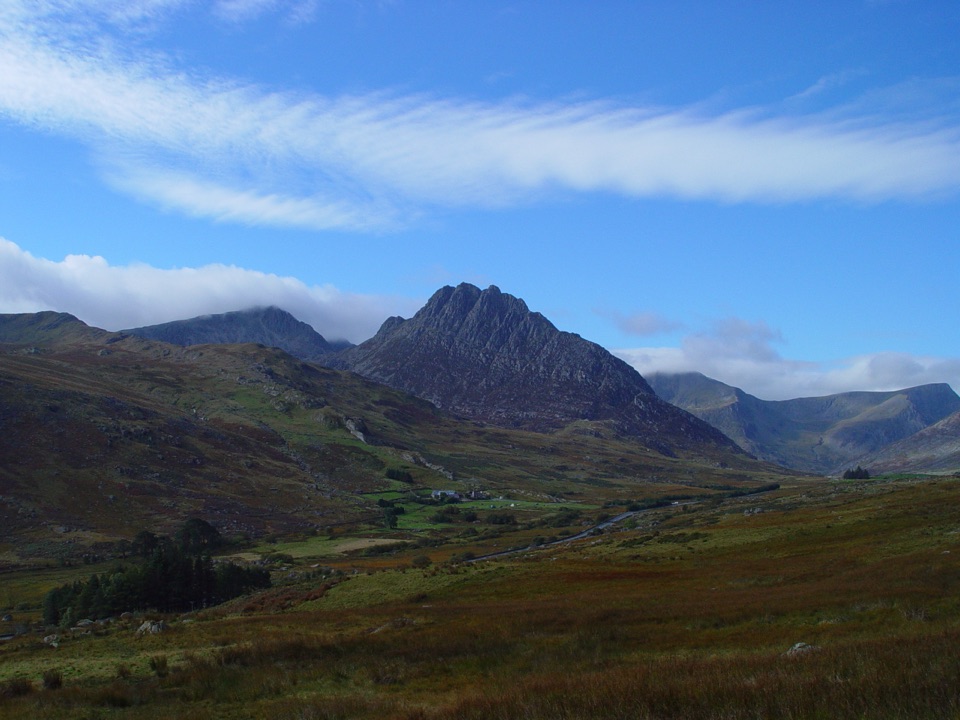
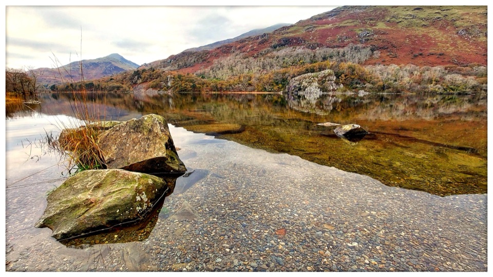
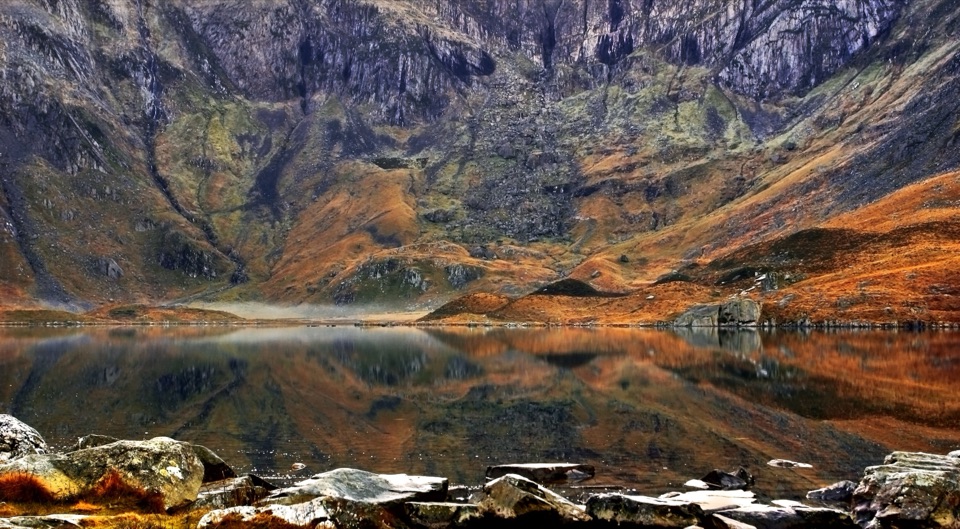
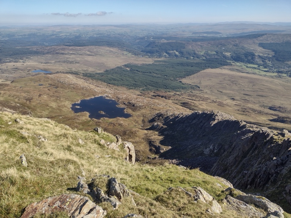
The walk sits in the mountain pass between the Glyderau and the Snowdon massif, with open hillside, rocky ground and long views up and down the valley. It does not reach a summit. Its value is as a safe, useful link between two access points, or as a compact rough walk for anyone who wants steep hill ground without a full mountain day.

Wildlife

Wildlife in Eryri

All Eryri wildlife maps

Sighting maps show where each species has been reported across Eryri. Wildlife moves, so no sighting is guaranteed.

Keep exploring

Near Pen y Gwryd to Pen y Pass

See it all on the map

Trails that start nearby

Places near the trailhead

Parkwolf’s Eryri ranking

Top-rated trails in Eryri

All 120 trails
  1. 1Yr Wyddfa Pyg Track and Miners’ Track LoopChallenging · 12.1 km
  2. 2Llanberis PathChallenging · 14.5 km
  3. 3Pyg TrackChallenging · 11 km
  4. 4Miners’ TrackChallenging · 12.9 km
  5. 5Cwm Idwal WalkModerate · 4.8 km
  6. 6Watkin PathChallenging · 12.9 km

Take Parkwolf to Eryri.

The audio tour guide for the drive, plus offline maps, trails, and wildlife heatmaps for when the signal drops.

4.7 from 8,600+ ratings

Download Parkwolf on the App StoreGet Parkwolf on Google Play