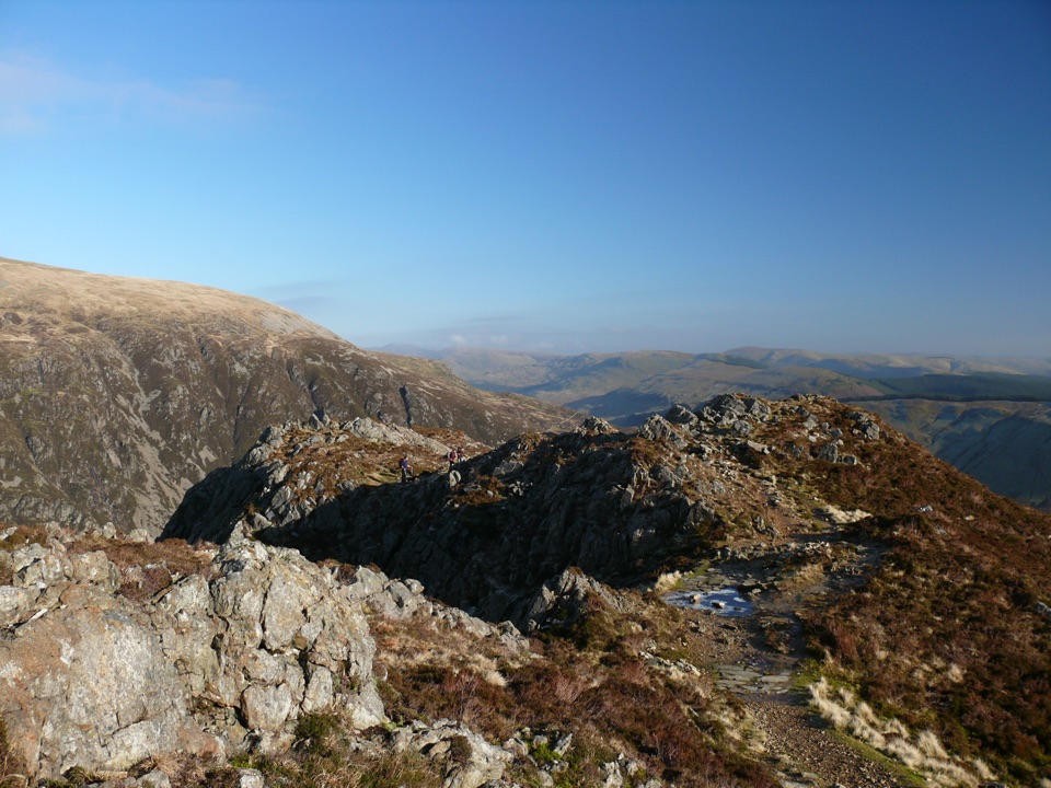
Parking
Start at Pen y Pass Car Park (SH 647 557). Parking is very limited, so consider Sherpa’r Wyddfa buses from Nant Peris or Llanberis.

#3 of 120 trails in Eryri
Eryri National Park, WA
Rugged rocky climb from Pen-y-Pass to Yr Wyddfa's summit and back
Overview
Map & elevation
Plan your hike

The highest, rockiest slopes around here are a summer buffet for grizzly bears.
Eryri Tour Guide
Parkwolf is a GPS audio tour guide for Eryri National Park. As you drive, it chimes in with what’s ahead: hidden gems, upcoming stops, history, geology, and wildlife, right through your car’s speakers.
Recorded for this trailhead
Pen y Pass and Yr Wyddfa“You're approaching Pen y Pass, the starting point for the Pyg and Miners' tracks up Yr Wyddfa. Both are serious, roughly six-hour mountain walks, despite the Miners' Track's gentle opening beside the lakes.”
Plays as you drive up to this trailhead in the Parkwolf Eryri Tour Guide.
More stories near here in the app
“Fantastic app with many points of information… It’s great to just turn on while you’re driving and it gives you an audio tour of the national Park. We love it!!!!”


Trail guide
A there-and-back mountain walk from Pen-y-Pass to the summit of Yr Wyddfa, returning along the same corridor. The stored line runs about 5.29 km (3.29 miles) one way, and the figure quoted for this record, 11 km (6.8 miles), is the full round trip. Expect roughly 6 hours and 895 m of ascent, from about 362 m at the car park to 1,026 m on top. It is graded hard and strenuous: one of the shorter ways up, and among the most rugged.
From the far end of the car park you pass the helicopter landing site and squeeze through a narrow gap in a stone wall, then work up rough rocky ground to Bwlch y Moch. That col delivers the first real reward, a sudden view down to Llyn Llydaw and its causeway, a reminder of the valley's old copper-mining traffic. The path then contours along the foothills of Crib Goch, merges with the Miners' Track, and joins the Llanberis Path at Bwlch Glas for the final pull to the summit.
This is a route for experienced country walkers with good fitness. The ground is rough and rocky for long stretches, with several steep climbs, loose stony sections, and some scrambling where hands come into play. Descending the same way is often harder on the legs and more prone to slips than the climb, so keep time in hand for the return.
The Pyg passes along the foothills of Crib Goch and does not traverse the ridge. Crib Goch itself is a different and extremely dangerous proposition, a knife-edge of roughly 500 m with no escape route once committed, and it belongs to mountaineering rather than walking. If you want the Pyg, stay on the main line above Bwlch y Moch and do not follow the branch climbing onto the ridge.
This is officially classed as a popular route, so plan for other walkers on the narrow and scrambly sections, particularly near Bwlch Glas where three routes converge. If you would rather trade the steep rocky start for a gentler lakeside approach, the Miners' Track from the same car park is a genuinely different experience for its first half before the two meet.
Pen y Pass is the trailhead for both the Pyg and the Miners' Track, and parking is very limited, so plan your arrival in advance. Sherpa'r Wyddfa buses link Pen y Pass with Nant Peris and Llanberis, with onward connections from Caernarfon, Bangor and Betws y Coed, which also makes a one-way finish by a different valley possible.
Dogs are allowed on the public footpaths and open access land here, under close control throughout. A 2 m lead is required on open access land from 1 March to 31 July, and a short lead is advised near livestock or wildlife. Bear in mind the rough rock and scrambling underfoot when judging whether your dog is suited to the ascent and the descent.
Wildlife
 77 sightingsGrey HeronMost seen around 7 AMSighting map
 17 sightingsTawny OwlMost seen around 6 AMSighting map
 32 sightingsCommon RavenMost seen around 8 AMSighting map
 21 sightingsGreat Spotted WoodpeckerMost seen around 7 AMSighting map
 18 sightingsEuropean RabbitMost seen around 7 AMSighting map
 161 sightingsViviparous LizardMost seen around 10 AMSighting map
Sighting maps show where each species has been reported across Eryri. Wildlife moves, so no sighting is guaranteed.
Keep exploring
ChallengingYr Wyddfa Pyg Track and Miners’ Track Loop12.1 km · 6 hr · At the trailheadRocky climb to Wales's highest summit, down past lakes and mine ruins ChallengingMiners’ Track12.9 km · 6 hr · At the trailheadGentle lakeside start, then a steep scree haul up to Yr Wyddfa
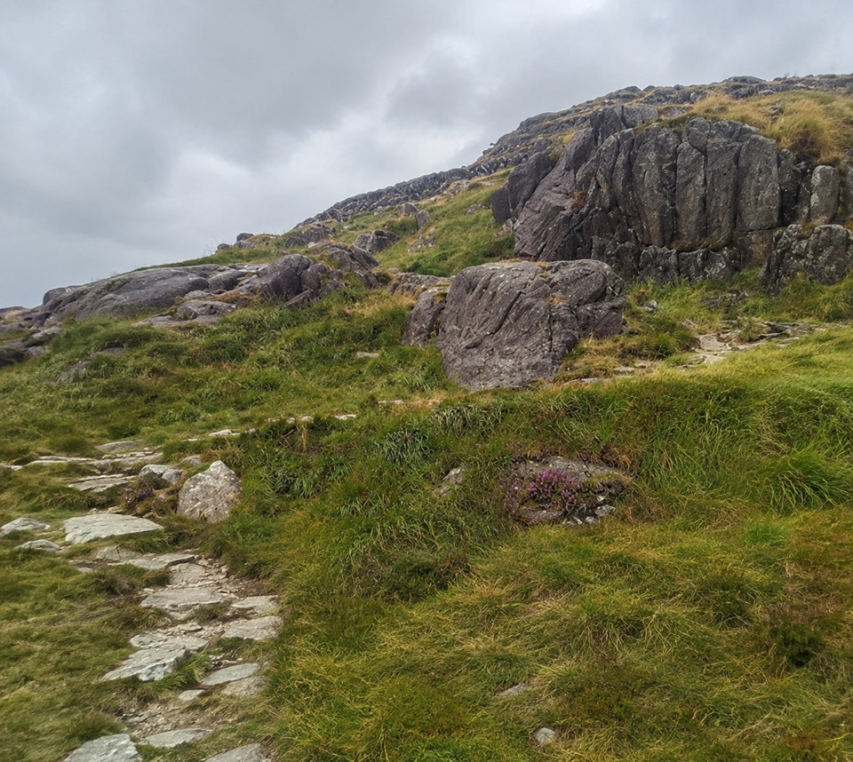 ChallengingPen y Gwryd to Pen y Pass2 km · 1 hr · 1.2 km awayA short, rough hill link that keeps you off the A4086 tarmac
 ModerateCwm Idwal Walk4.8 km · 3 hr · 4.7 km awayGlacier-carved bowl, stone lakeside path and the Devil's Kitchen headwall
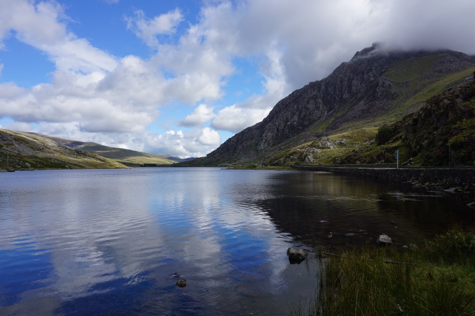 ModerateLlyn Ogwen Circular Walk4.7 km · 1.5 hr · 4.8 km awayBoulder-hopping lakeshore loop under Tryfan, back on the roadside pavement
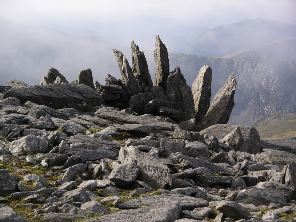 ChallengingGlyder Fawr and Y Garn via Devil’s Kitchen8.9 km · 5 hr · 4.8 km awayGlacial lake, dark cliffs, two 900m summits on one hard rocky loop
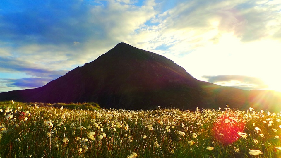 ChallengingHigh Carneddau from Llyn Ogwen15 km · 6.5 hr · 5.2 km awayThree Carneddau summits, one long rocky ridge, straight up from the A5
 ChallengingWatkin Path12.9 km · 6 hr · 5.3 km awayWaterfalls, slate ruins and a brutally steep finish to Yr Wyddfa's summit
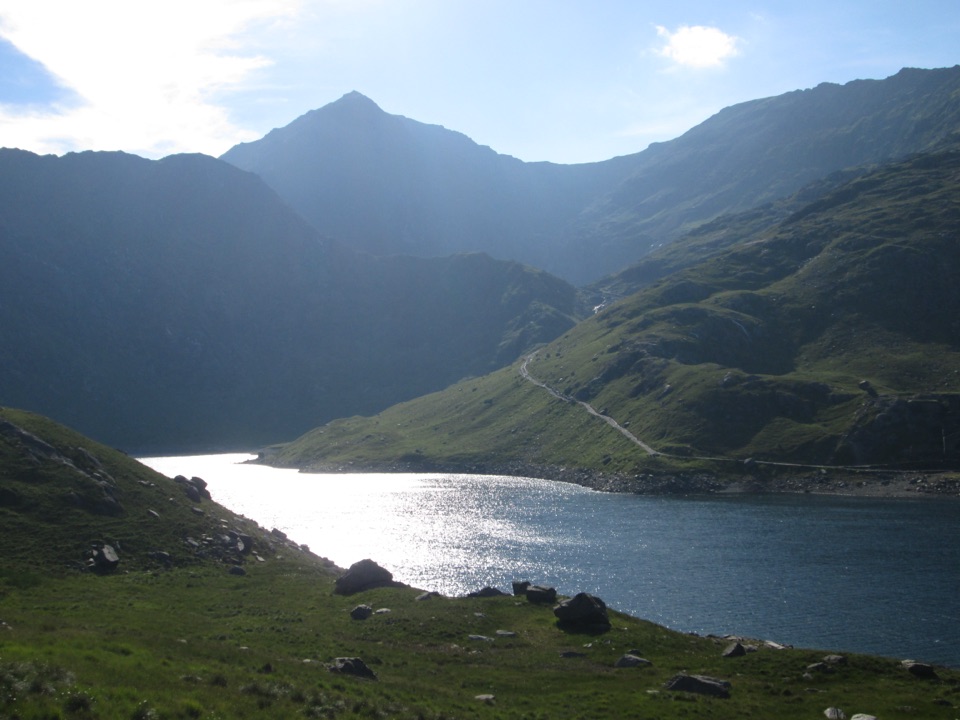 Sight · 2.2 km awayLlyn LlydawMountain lake crossed by a stone causeway below Yr Wyddfa
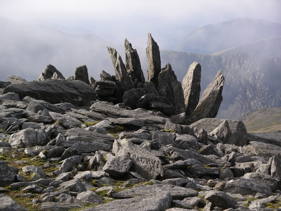 Sight · 2.4 km awayGlyder FawrA wild boulder plateau with wide views across Eryri
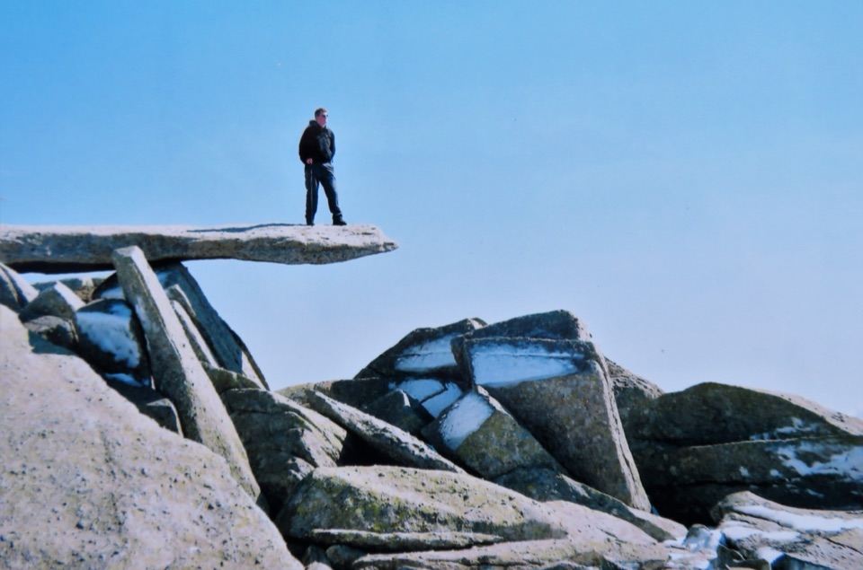 Sight · 2.8 km awayGlyder FachA jagged summit crowned by the famous Cantilever Stone
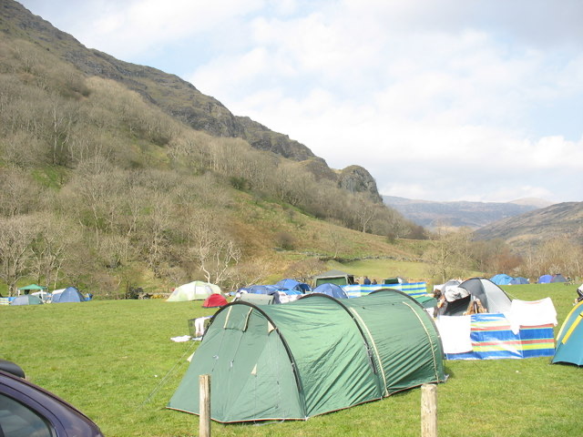 Campground · 3.1 km awayLlyn Gwynant CampsiteLakeside camping with direct access to wild swimming and mountain walks
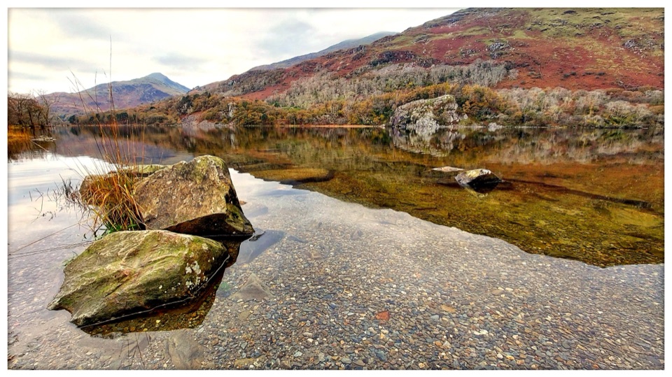 Sight · 3.7 km awayLlyn GwynantMountain reflections, cold swims, and a classic valley lake
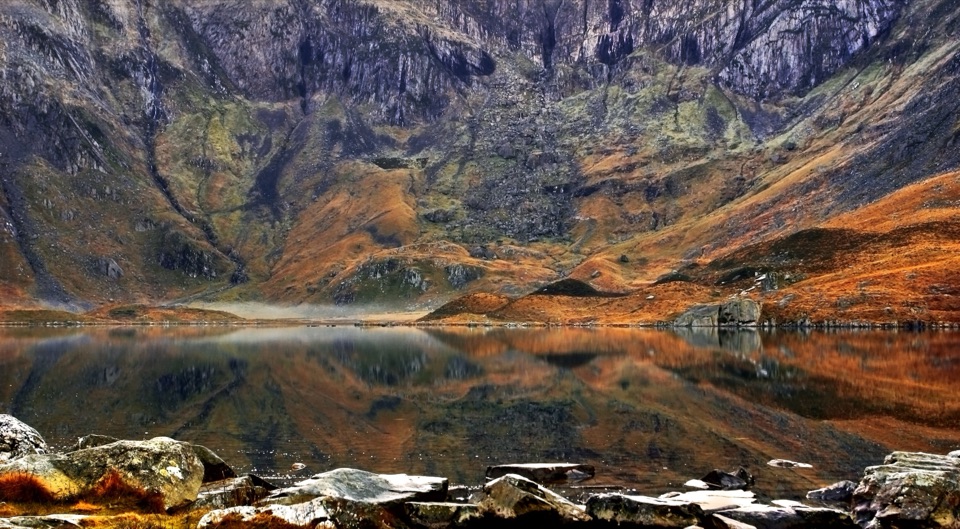 Sight · 3.9 km awayCwm IdwalA compact glacial amphitheatre wrapped around a mountain lake
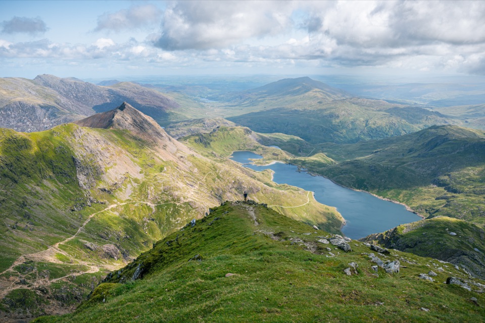 Sight · 3.9 km awayYr Wyddfa (Snowdon)Wales’ highest summit, with huge views when the clouds cooperate
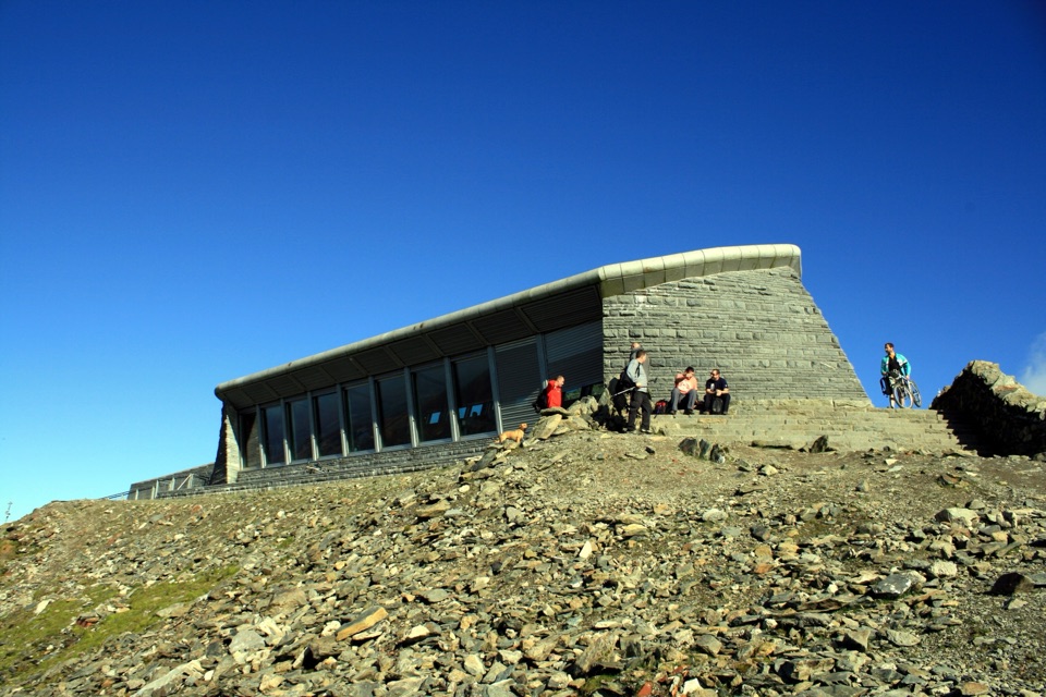 Visitor center · 3.9 km awayHafod Eryri Summit Visitor CentreA summit building with panoramic views and a hard-earned café stop
Parkwolf’s Eryri ranking

The audio tour guide for the drive, plus offline maps, trails, and wildlife heatmaps for when the signal drops.