Parking
Start at Pen y Pass Car Park (SH 647 557). Parking is limited and may need advance booking. Official bus services are the practical alternative. Do not walk the narrow winding road or park in roadside lay-bys.

#1 of 120 trails in Eryri
Eryri National Park, WA
Rocky climb to Wales's highest summit, down past lakes and mine ruins
Overview
A complete circular mountain route from Pen y Pass, climbing the Pyg Track to the summit of Yr Wyddfa and returning by the Miners' Track, with the connected car-park access closing the loop. Total distance is 12.0 km (7.5 miles) with roughly 700 m of mapped ascent, and most walkers take 5 to 7 hours, so plan on about 6.
Map & elevation
Plan your hike

The highest, rockiest slopes around here are a summer buffet for grizzly bears.
Eryri Tour Guide
Parkwolf is a GPS audio tour guide for Eryri National Park. As you drive, it chimes in with what’s ahead: hidden gems, upcoming stops, history, geology, and wildlife, right through your car’s speakers.
Recorded for this trailhead
Pen y Pass and Yr Wyddfa“You're approaching Pen y Pass, the starting point for the Pyg and Miners' tracks up Yr Wyddfa. Both are serious, roughly six-hour mountain walks, despite the Miners' Track's gentle opening beside the lakes.”
Plays as you drive up to this trailhead in the Parkwolf Eryri Tour Guide.
More stories near here in the app
“Fantastic app with many points of information… It’s great to just turn on while you’re driving and it gives you an audio tour of the national Park. We love it!!!!”


Trail guide
The ascent starts straight into work, rising over rugged rocky ground and then traversing beneath the foothills of Crib Goch. Steps are uneven, hand use is common on the rockier pitches, and the gradient rarely eases. Higher up the way continues to the summit, where the reward on a clear day is a long view over ridges, cwms and mountain lakes.
The descent begins with the steepest and loosest section of the day, dropping over broken rock and scree to Glaslyn. Below that the going relents: past the crushing-mill remains of the Britannia Copper Mine, along the shore of Llyn Llydaw and across its causeway, then down a gentler track back to Pen y Pass. Doing the loop in this direction saves the easiest walking for tired legs and puts the industrial ruins and lakes in the second half.
Both component paths are classed as Hard or Strenuous, and combined they make a demanding full mountain day. Expect steep, rocky, exposed ground, loose scree on the upper Miners' section, and navigation that becomes genuinely difficult when cloud sits on the tops. Boots with grip, wind and waterproof layers, food, water and a map and compass are the minimum. In snow, ice, high wind or poor visibility the route calls for winter equipment and the experience to use it.
The Pyg Track passes below Crib Goch, but this loop does not go onto that ridge at any point. Crib Goch is a separate, far more exposed scramble and should not be joined casually from this path.
Pen y Pass is the correct start. Parking there is limited and may need booking in advance, so treat the official bus services as the practical way in. Do not walk the narrow winding road to the pass or leave a vehicle in roadside lay-bys. An early start helps with both parking pressure and daylight.
Dogs are allowed on public footpaths and must be on a short lead near livestock and wildlife, but the steep rock, scree and long descent make this loop unsuitable for many dogs. If you want a longer, steadier line to the same summit, the Llanberis Path is the sensible option, though it is a high mountain route in its own right and no more forgiving in poor weather.
Wildlife
 77 sightingsGrey HeronMost seen around 7 AMSighting map
 17 sightingsTawny OwlMost seen around 6 AMSighting map
 32 sightingsCommon RavenMost seen around 8 AMSighting map
 21 sightingsGreat Spotted WoodpeckerMost seen around 7 AMSighting map
 18 sightingsEuropean RabbitMost seen around 7 AMSighting map
 161 sightingsViviparous LizardMost seen around 10 AMSighting map
Sighting maps show where each species has been reported across Eryri. Wildlife moves, so no sighting is guaranteed.
Keep exploring
ChallengingPyg Track11 km · 6 hr · At the trailheadRugged rocky climb from Pen-y-Pass to Yr Wyddfa's summit and back ChallengingMiners’ Track12.9 km · 6 hr · At the trailheadGentle lakeside start, then a steep scree haul up to Yr Wyddfa
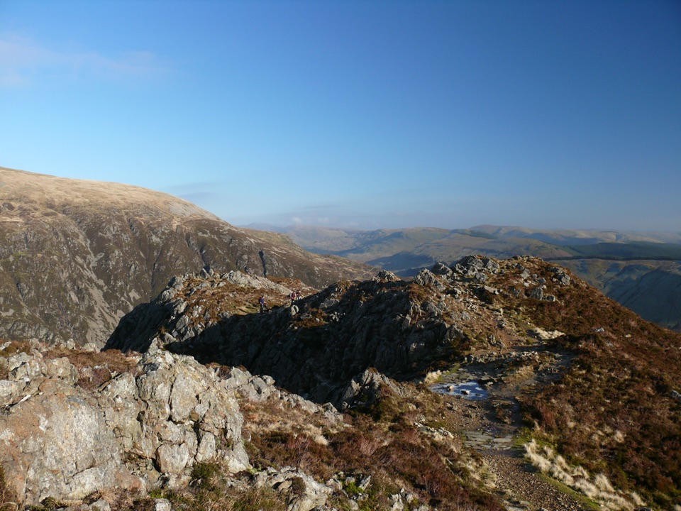
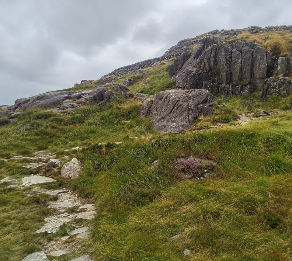 ChallengingPen y Gwryd to Pen y Pass2 km · 1 hr · 1.2 km awayA short, rough hill link that keeps you off the A4086 tarmac
 ModerateCwm Idwal Walk4.8 km · 3 hr · 4.7 km awayGlacier-carved bowl, stone lakeside path and the Devil's Kitchen headwall
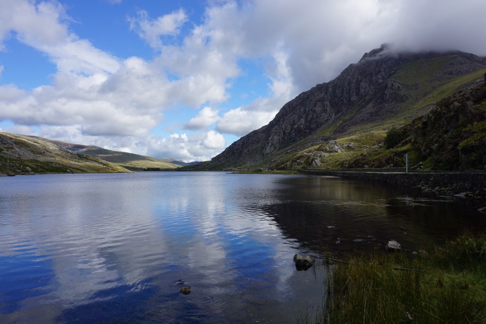 ModerateLlyn Ogwen Circular Walk4.7 km · 1.5 hr · 4.8 km awayBoulder-hopping lakeshore loop under Tryfan, back on the roadside pavement
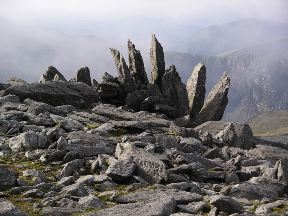 ChallengingGlyder Fawr and Y Garn via Devil’s Kitchen8.9 km · 5 hr · 4.8 km awayGlacial lake, dark cliffs, two 900m summits on one hard rocky loop
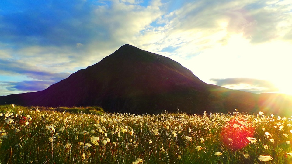 ChallengingHigh Carneddau from Llyn Ogwen15 km · 6.5 hr · 5.2 km awayThree Carneddau summits, one long rocky ridge, straight up from the A5
 ChallengingWatkin Path12.9 km · 6 hr · 5.3 km awayWaterfalls, slate ruins and a brutally steep finish to Yr Wyddfa's summit
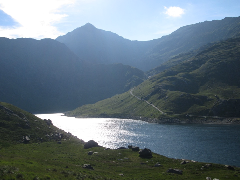 Sight · 2.2 km awayLlyn LlydawMountain lake crossed by a stone causeway below Yr Wyddfa
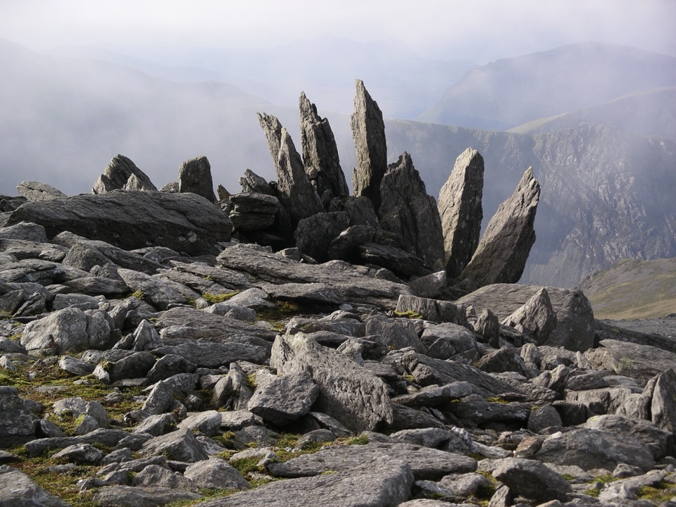 Sight · 2.4 km awayGlyder FawrA wild boulder plateau with wide views across Eryri
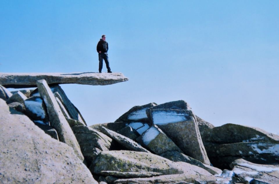 Sight · 2.8 km awayGlyder FachA jagged summit crowned by the famous Cantilever Stone
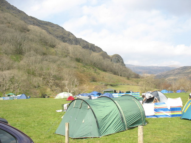 Campground · 3.1 km awayLlyn Gwynant CampsiteLakeside camping with direct access to wild swimming and mountain walks
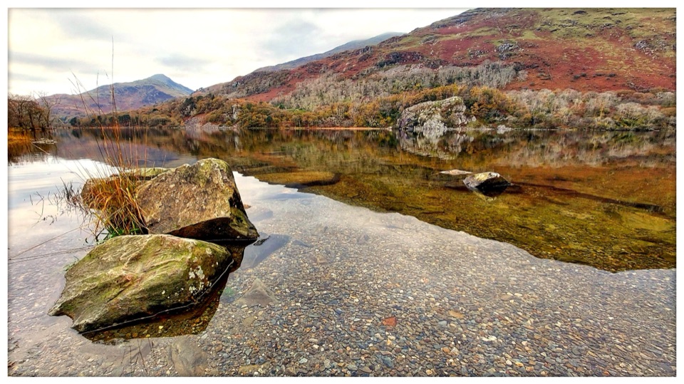 Sight · 3.7 km awayLlyn GwynantMountain reflections, cold swims, and a classic valley lake
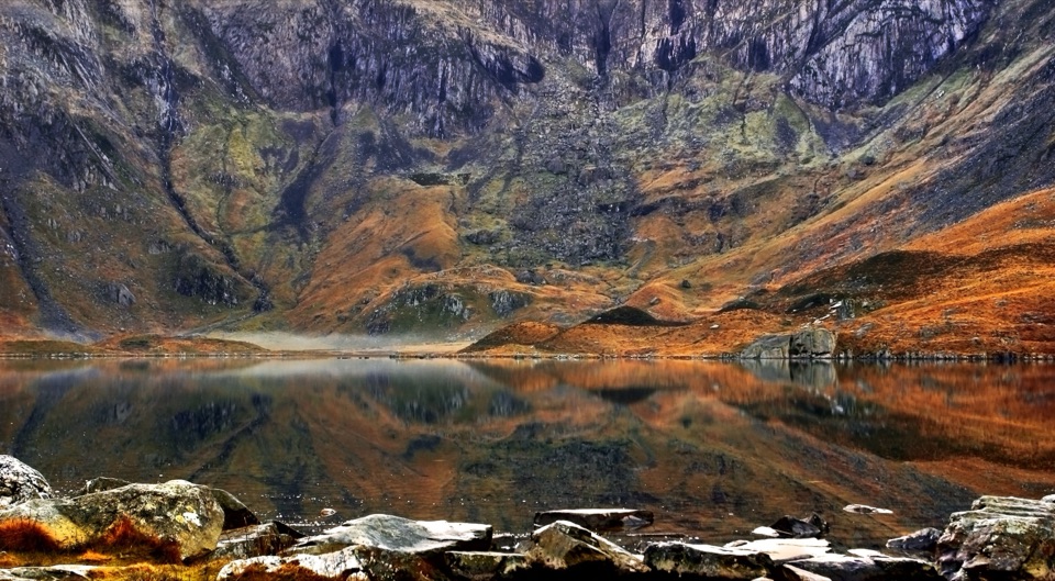 Sight · 3.9 km awayCwm IdwalA compact glacial amphitheatre wrapped around a mountain lake
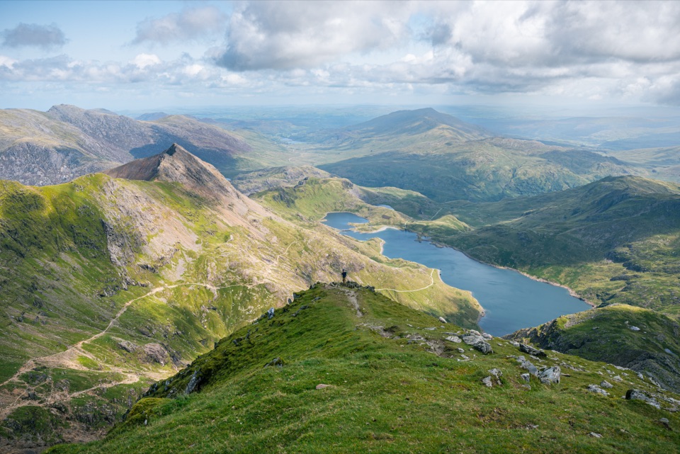 Sight · 3.9 km awayYr Wyddfa (Snowdon)Wales’ highest summit, with huge views when the clouds cooperate
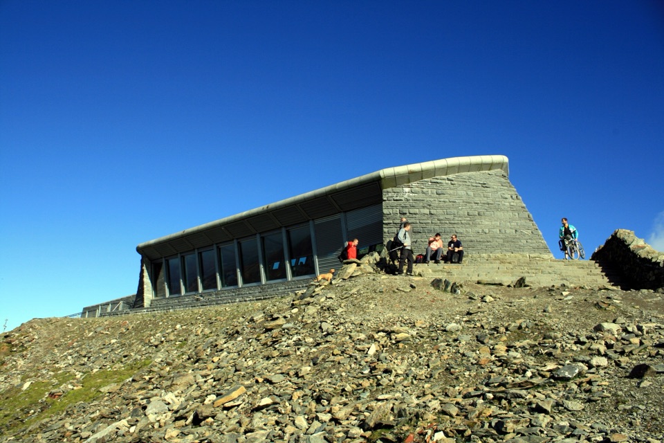 Visitor center · 3.9 km awayHafod Eryri Summit Visitor CentreA summit building with panoramic views and a hard-earned café stop
Parkwolf’s Eryri ranking

The audio tour guide for the drive, plus offline maps, trails, and wildlife heatmaps for when the signal drops.