Parking
Start at the car park at Dolwyddelan railway station. It is managed by the local community and has a parking charge. Use designated parking only. The route is reachable by train.
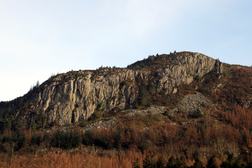
Eryri National Park, WA
Quiet valley climb to a Roman road and 15th-century ruins
Overview
Map & elevation
Plan your hike

The highest, rockiest slopes around here are a summer buffet for grizzly bears.
Eryri Tour Guide
Parkwolf is a GPS audio tour guide for Eryri National Park. As you drive, it chimes in with what’s ahead: hidden gems, upcoming stops, history, geology, and wildlife, right through your car’s speakers.
Recorded for this trailhead
Cwm Penamnen Walks“You're approaching the Cwm Penamnen walks from Dolwyddelan.”
Plays as you drive up to this trailhead in the Parkwolf Eryri Tour Guide.
More stories near here in the app
“Fantastic app with many points of information… It’s great to just turn on while you’re driving and it gives you an audio tour of the national Park. We love it!!!!”


Trail guide
A circular 9.5 km walk from Dolwyddelan up Cwm Penamnen to the head of the valley near the eastern foothills of Moel Penamnen, returning through the village on Sarn Helen. That figure is the whole circuit, and it takes about 3 hours with 410 m of ascent. Rated moderate (5/10). It stays quiet, so you can have long stretches to yourself.
Mostly forest roads, tracks and village road, so nothing technical, but it is a long hilly walk with uneven ground on the tracks. The section where you drop to Sarn Helen near the waymarker can be wet and boggy, and that is the part people remember for the wrong reasons. Boots rather than trainers. You also spend a fair share of the return on tarmac, which is easy going but less interesting than the woods.
The published visitor distance of 9.5 km is what we quote. Our mapped track for the same route measures nearer 8.7 km once the short station approach is closed up, which is normal for a corridor drawn on a map and is best treated as a cross-check rather than a correction.
Start and finish at the car park at Dolwyddelan railway station, which is run by the local community and has a parking charge. Use designated parking only. The walk is genuinely doable by train, which is rare enough to be worth using. Dogs are welcome on the public footpaths under close control, on a short lead around livestock and wildlife. The general rule for open-access land in the park is a lead no longer than 2 m from 1 March to 31 July; not all of this route crosses open-access land, but a lead is the sensible default here anyway.
There is an official short Cwm Penamnen route of roughly an hour that turns back earlier and rejoins this walk on its return leg. It is the sensible option with small children, in poor weather, or if you only want the woods and the ruins.
Wildlife
 77 sightingsGrey HeronMost seen around 7 AMSighting map
 17 sightingsTawny OwlMost seen around 6 AMSighting map
 32 sightingsCommon RavenMost seen around 8 AMSighting map
 21 sightingsGreat Spotted WoodpeckerMost seen around 7 AMSighting map
 18 sightingsEuropean RabbitMost seen around 7 AMSighting map
 161 sightingsViviparous LizardMost seen around 10 AMSighting map
Sighting maps show where each species has been reported across Eryri. Wildlife moves, so no sighting is guaranteed.
Keep exploring
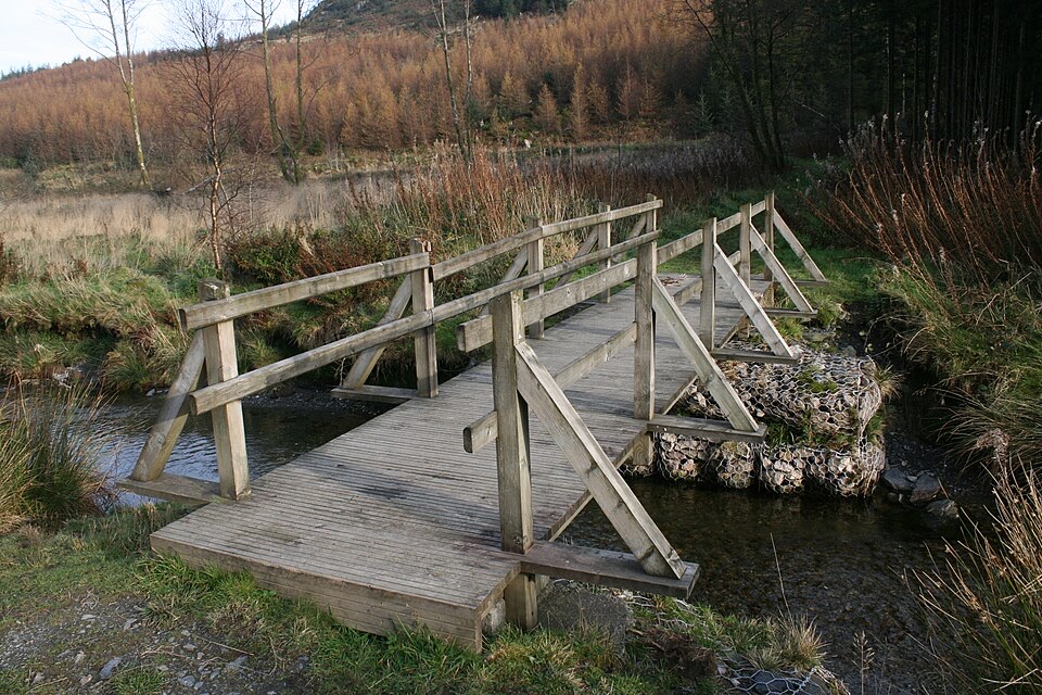 EasyCwm Penamnen (Short)3.5 km · 1.3 hr · At the trailheadQuiet forest loop above Dolwyddelan, with a river bridge and Roman road
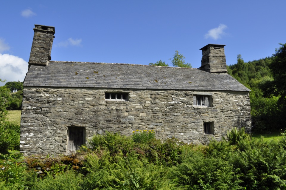 EasyTŷ Mawr Wybrnant and Cwm Wybrnant Walk1.6 km · 30 min · 3.4 km awayAn easy mile loop past the birthplace of the Welsh Bible
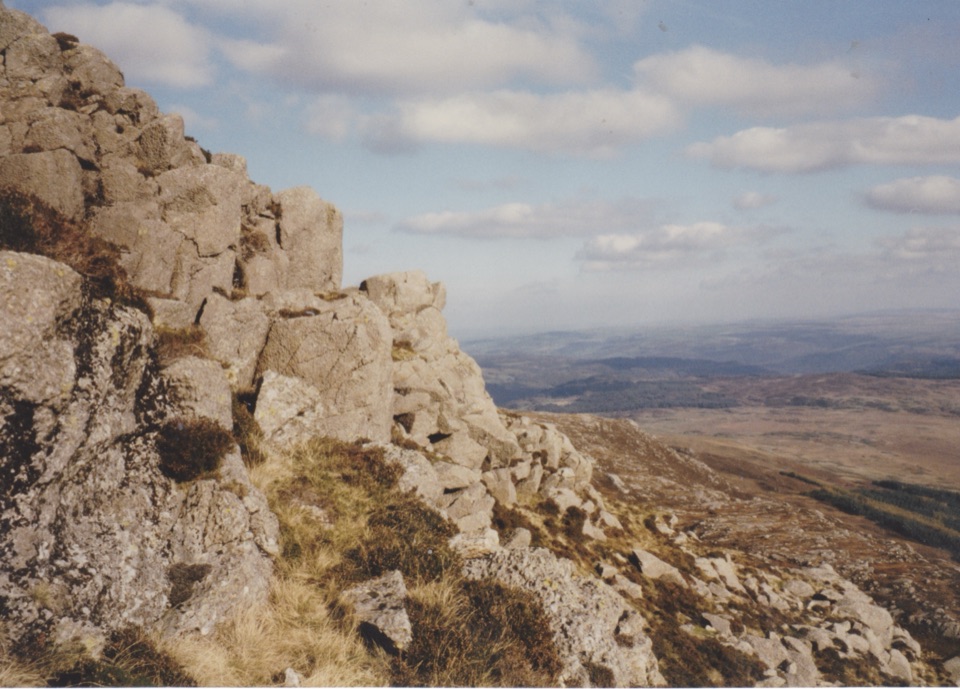 ChallengingMoel Siabod Circular10.5 km · 5.5 hr · 4.9 km awaySteep 6.5-mile circular loop with a hands-on Grade 1 ridge scramble
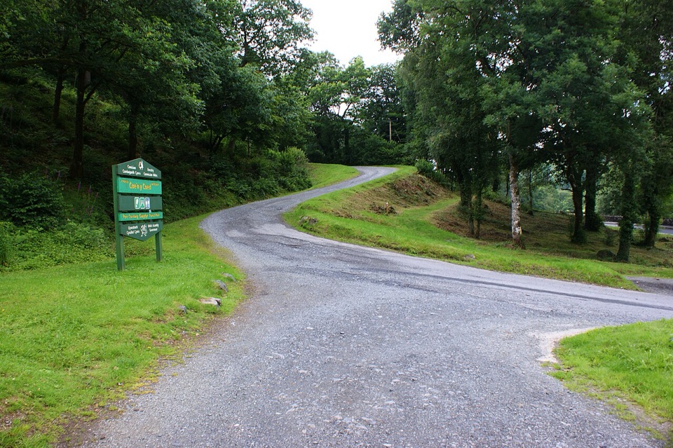 ChallengingCraig-Forris Walk3.3 km · 1.8 hr · 5.9 km awayShort, steep loop through an old arboretum to a mountain panorama
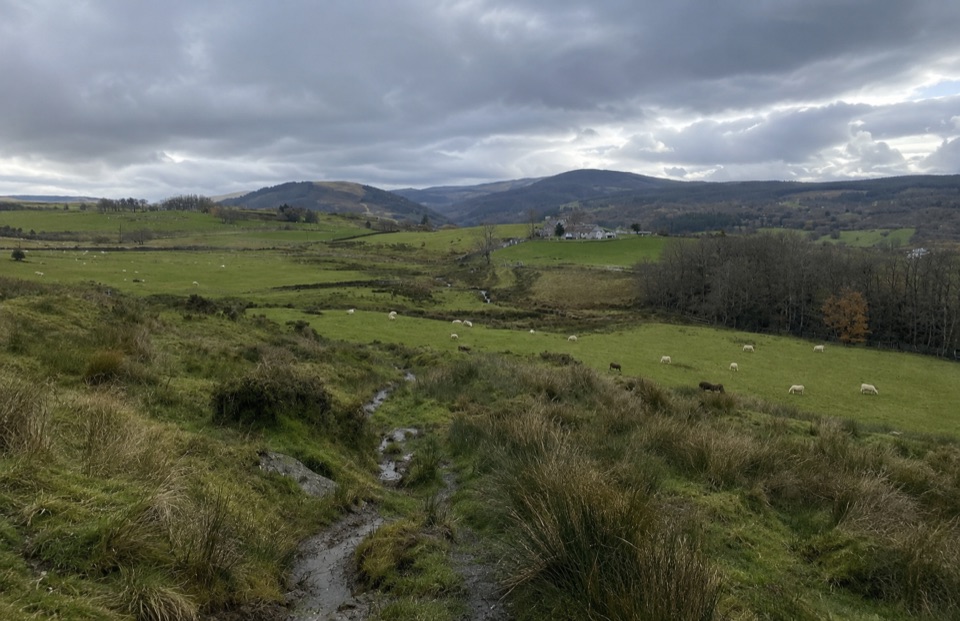 ModerateTy'n y Coed Uchaf and Cwm Eidda Walk8 km · 3.5 hr · 6.2 km awayFarm ruins, boggy uplands and Snowdon views on a five-mile loop
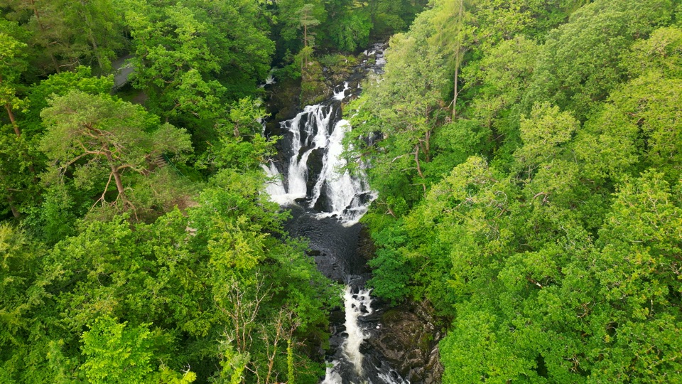 ChallengingSwallow Falls Walk3.5 km · 2 hr · 6.8 km awaySteep woodland loop to a waterfall viewpoint and Moel Siabod panoramas
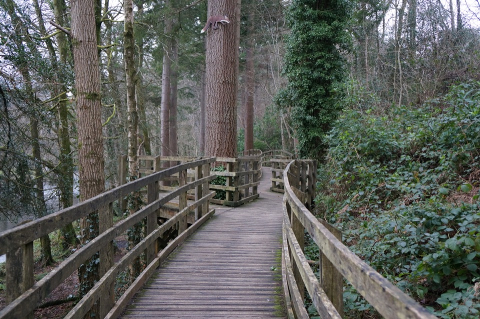 EasyCoed Tan Dinas Walk1.1 km · 30 min · 7 km awayRiver boardwalk, tall Douglas firs, picnic spot, all in 30 minutes
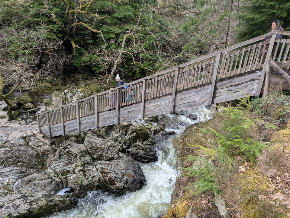 ModerateAfon Llugwy Riverside Walk2.4 km · 1.3 hr · 7 km awayRiverside loop through tall Douglas firs to the historic Miners' Bridge
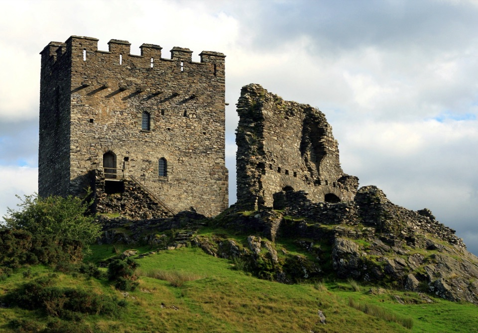 Sight · 1.6 km awayDolwyddelan CastleA rugged Welsh keep above the Lledr ValleySight · 3.3 km awayTŷ Mawr WybrnantA quiet Tudor farmhouse tied to the Welsh Bible's defining translation
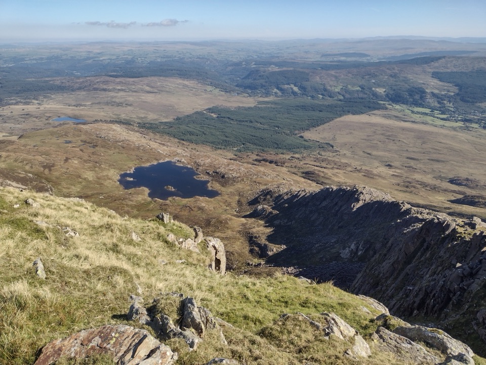 Sight · 4.1 km awayMoel SiabodWide panorama from a quieter summit above slate ruins and lake
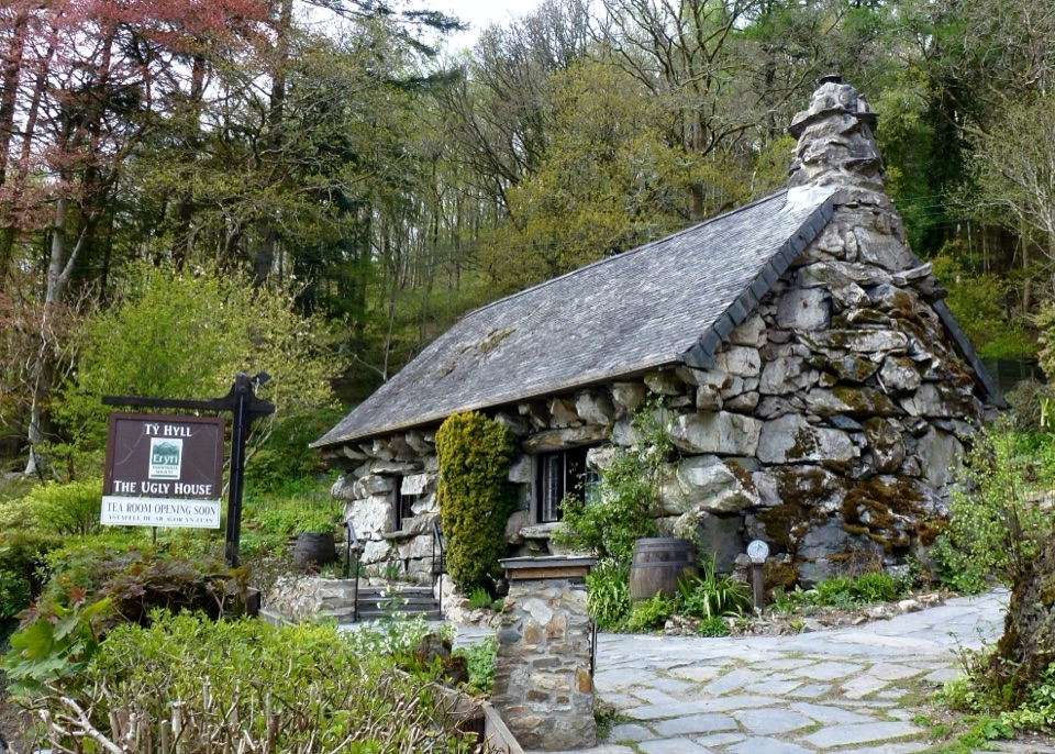 Sight · 5.7 km awayTŷ Hyll (The Ugly House)A storybook stone cottage with a surprisingly lovely pollinator garden
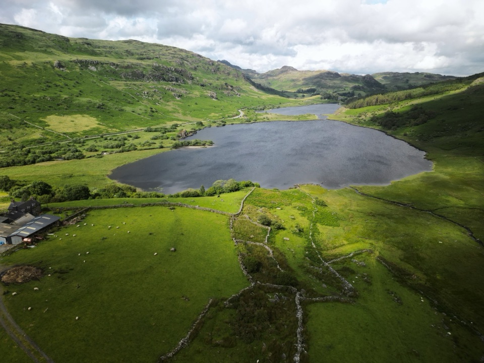 Sight · 5.9 km awayLlynnau MymbyrTwin lakes with Eryri’s classic Yr Wyddfa reflection
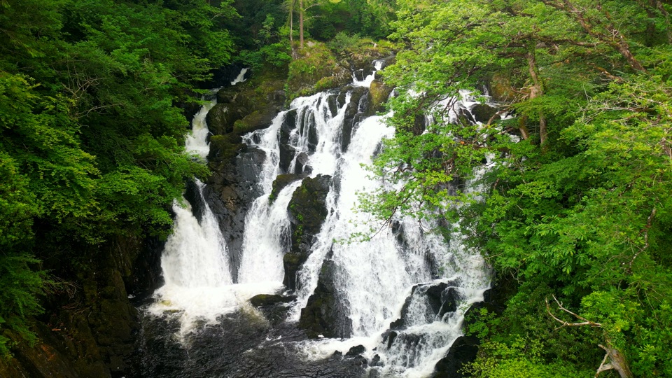 Sight · 6.3 km awaySwallow Falls (Rhaeadr Ewynnol)Foaming cascades plunge through a limestone gorge beside the A5
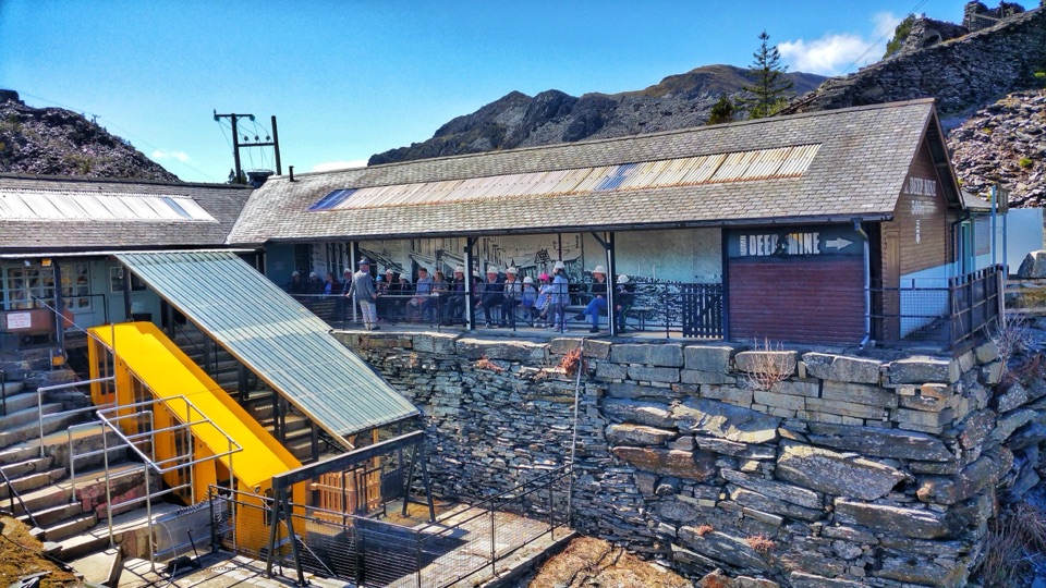 Sight · 6.4 km awayZip World LlechweddSlate mines turned into a full day of underground adventure
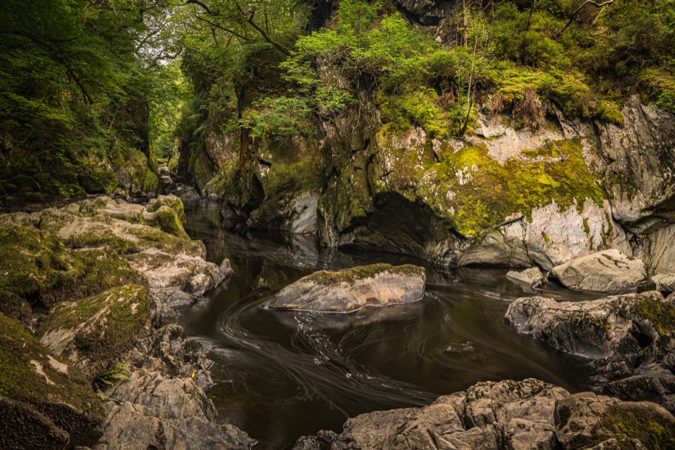 Sight · 6.7 km awayFairy Glen (Ffos Anoddun)Mossy rock gorge where the Conwy squeezes through wooded rapids
Parkwolf’s Eryri ranking

The audio tour guide for the drive, plus offline maps, trails, and wildlife heatmaps for when the signal drops.




