Parking
Start at Llyn Cwellyn Car Park off the A4085, grid reference SH 564 551. Sherpa’r Wyddfa buses stop at Snowdon Ranger, with connections from Caernarfon and Porthmadog.
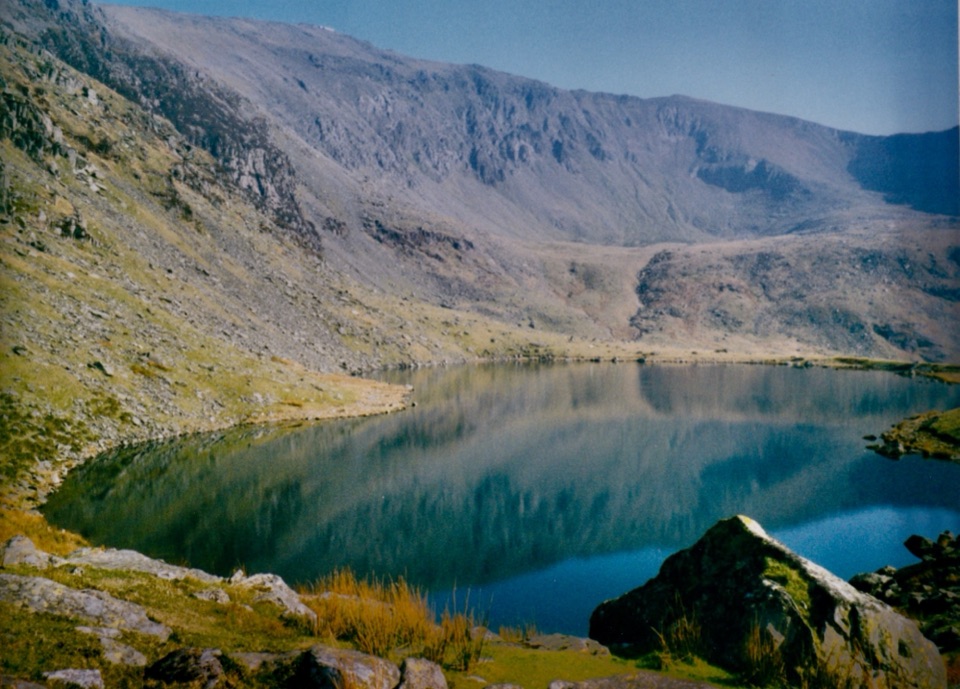
#9 of 120 trails in Eryri
Eryri National Park, WA
A quieter western climb to Yr Wyddfa, gentle at first then relentless
Overview
The Snowdon Ranger, known in Welsh as Llwybr Cwellyn, is a there and back again mountain route: 13 km / 8.1 miles round trip from Llyn Cwellyn Car Park to the summit of Yr Wyddfa and back down the same corridor. Allow around 6 hours, with 936 m / 3,071 ft of ascent. It is graded hard and strenuous, and it deserves that grading.
Map & elevation
Plan your hike

The highest, rockiest slopes around here are a summer buffet for grizzly bears.
Eryri Tour Guide
Parkwolf is a GPS audio tour guide for Eryri National Park. As you drive, it chimes in with what’s ahead: hidden gems, upcoming stops, history, geology, and wildlife, right through your car’s speakers.
Recorded for this trailhead
Snowdon Ranger and Llyn Cwellyn“You're approaching the Snowdon Ranger start beside Llyn Cwellyn, where a short lakeside stop and a demanding summit day share the same car park.”
Plays as you drive up to this trailhead in the Parkwolf Eryri Tour Guide.
More stories near here in the app
“Fantastic app with many points of information… It’s great to just turn on while you’re driving and it gives you an audio tour of the national Park. We love it!!!!”


Trail guide
The walk starts by the shores of Llyn Cwellyn and gains height quickly through a set of lower zigzags on rebuilt path, then eases across the flank of Moel Cynghorion. You pass Llyn Ffynnon-y-gwas near Bwlch Cwm Brwynog before the climbing turns serious over rough, rocky ground high above the cliffs of Clogwyn Du'r Arddu. The path merges with the Llanberis Path near Bwlch Glas, then follows the final summit approach to the top. As one of the two western approaches and one of the earliest six main routes on the mountain, it offers views that far fewer walkers see, looking out west over Llyn Cwellyn and the country beyond.
This is a demanding mountain day rather than a family outing. The profile is honest about it: from roughly 150 m at the lake to just over 1,000 m near the summit, with the lower half comparatively gradual and the upper half steeper and rougher. Good fitness matters, and so does pacing, because the hardest continuous climbing comes when you are already several kilometres in. The return is the same ground in reverse, which means a long steady descent on tired legs.
Expect steep hillside and genuinely rough country, with loose rocky sections and the possibility of light scrambling on the upper path. Full hill walking gear is essential, and specialist winter equipment may be required in cold conditions. Navigation skills are essential too, because the higher ground is open and featureless in cloud and the route merges with the Llanberis Path near Bwlch Glas. Note where you joined that path so you can find your turn on the way back.
The start and finish is Llyn Cwellyn Car Park, off the A4085, grid reference SH 564 551. Facilities at the car park are very limited. Sherpa'r Wyddfa buses stop at Snowdon Ranger, with the most useful connections from Caernarfon and Porthmadog, which makes arriving without a car a practical option.
Dogs are welcome on the public rights of way and open access land along the route. Keeping them on a lead is the safest practice throughout: a lead of 2 m or shorter is required on open access land between 1 March and 31 July, dogs should be kept under close control on public rights of way, and a short lead is important anywhere near livestock.
Wildlife
 77 sightingsGrey HeronMost seen around 7 AMSighting map
 17 sightingsTawny OwlMost seen around 6 AMSighting map
 32 sightingsCommon RavenMost seen around 8 AMSighting map
 21 sightingsGreat Spotted WoodpeckerMost seen around 7 AMSighting map
 18 sightingsEuropean RabbitMost seen around 7 AMSighting map
 161 sightingsViviparous LizardMost seen around 10 AMSighting map
Sighting maps show where each species has been reported across Eryri. Wildlife moves, so no sighting is guaranteed.
Keep exploring
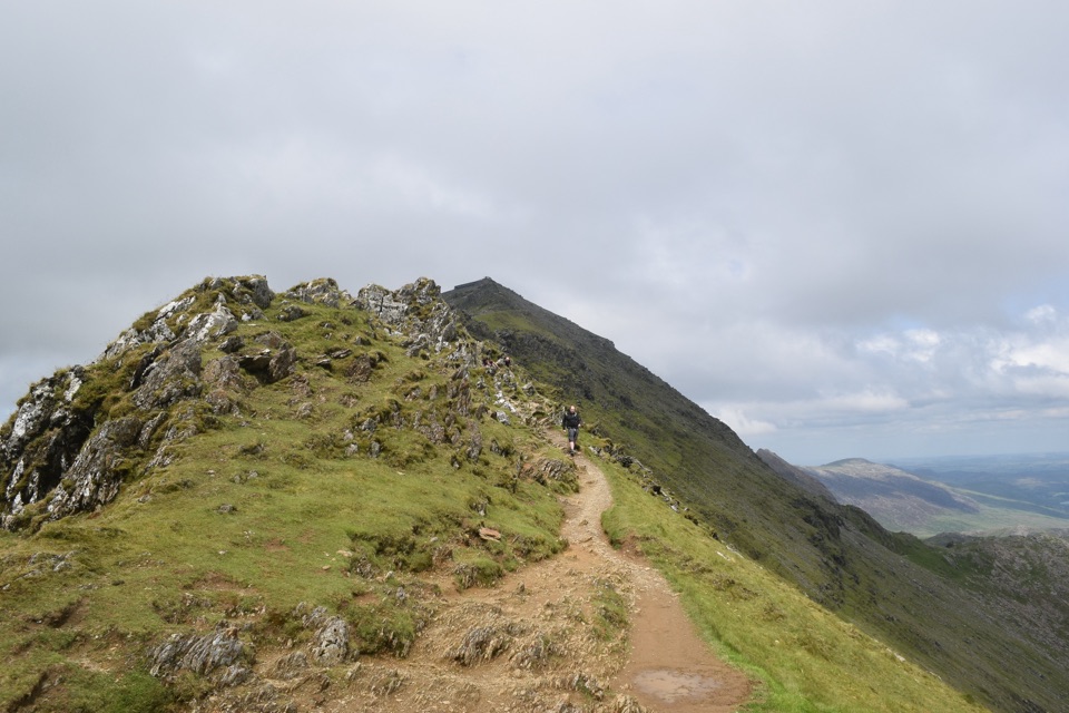 ChallengingRhyd Ddu Path12 km · 6 hr · 2.3 km awayA steep ridge climb to Yr Wyddfa, 12 km there and back
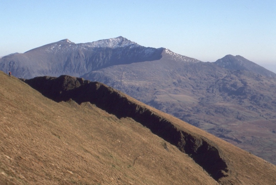 ChallengingNantlle Ridge12.2 km · 6.5 hr · 2.3 km awaySix quiet summits and Grade 1 scrambles on a one-way ridge
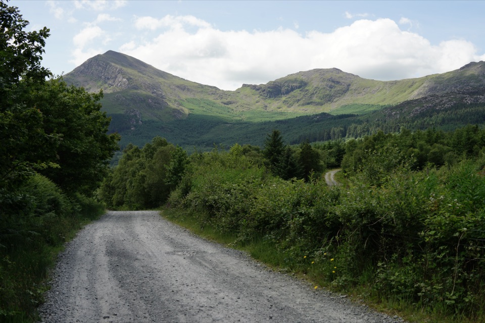 EasyLôn Gwyrfai7.2 km · 3 hr · 2.6 km awayEasy valley path linking Rhyd Ddu and Beddgelert with Yr Wyddfa views
 ChallengingLlanberis Path14.5 km · 7 hr · 4.7 km awayNine miles of steady, unrelenting ascent to the highest summit in Wales
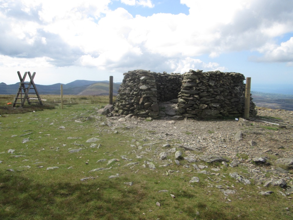 ChallengingMoel Eilio Circular from Llanberis12 km · 4.5 hr · 4.8 km awayA steep start, then a three-summit ridge high above Cwm Dwythwch
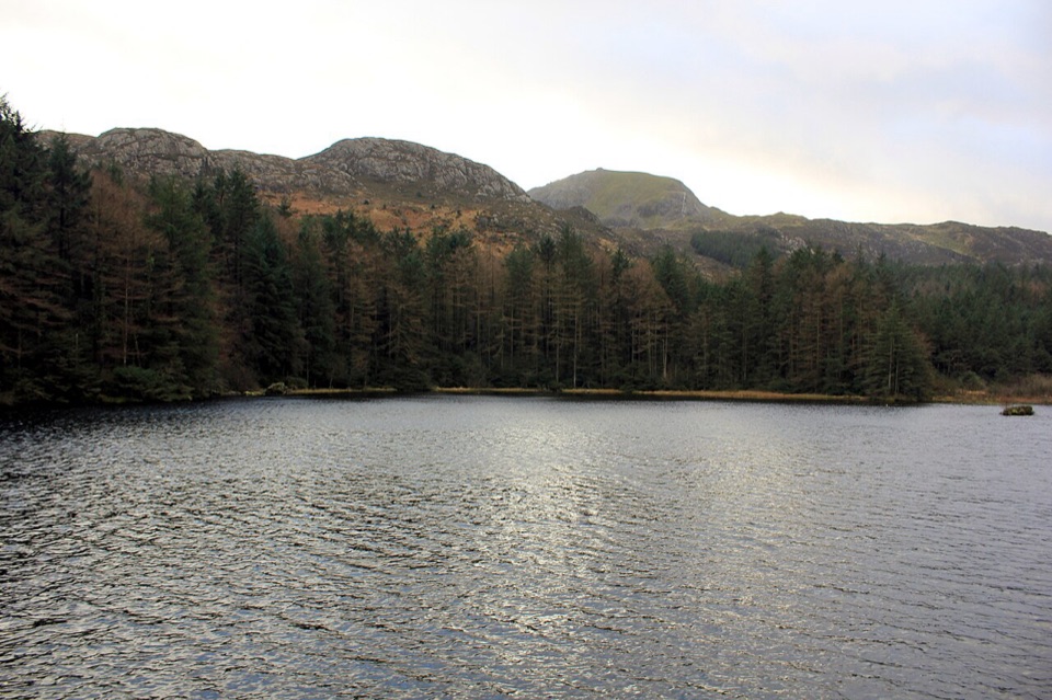 ModerateLlyn Llywelyn Walk4.3 km · 2.5 hr · 4.9 km awayForest roads climb to a hidden reservoir with Yr Wyddfa views
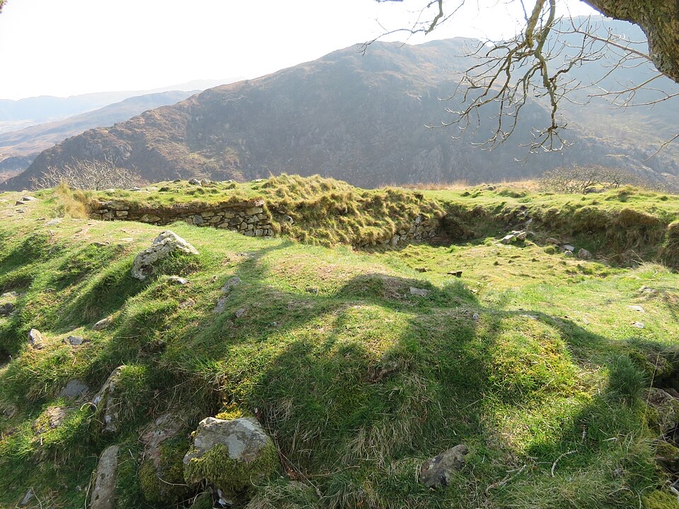 ModerateThe Legendary Trail of Dinas Emrys3.5 km · 2 hr · 7 km awayWoodland climb to a hillfort summit above Llyn Dinas and Nant Gwynant
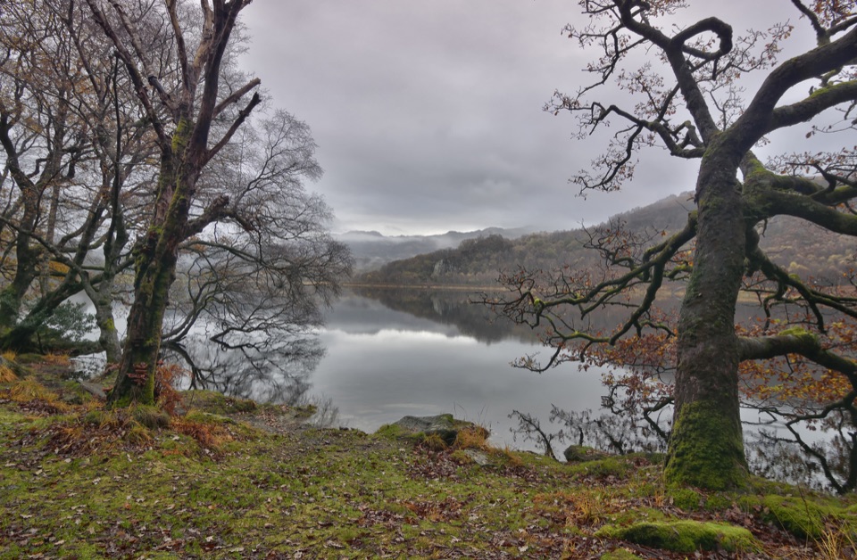 ModerateCraflwyn, Hafod y Llan and Llyn Dinas Walk10.5 km · 3.5 hr · 7 km awayOak woods, waterfalls and open heath on a loop to Llyn Dinas
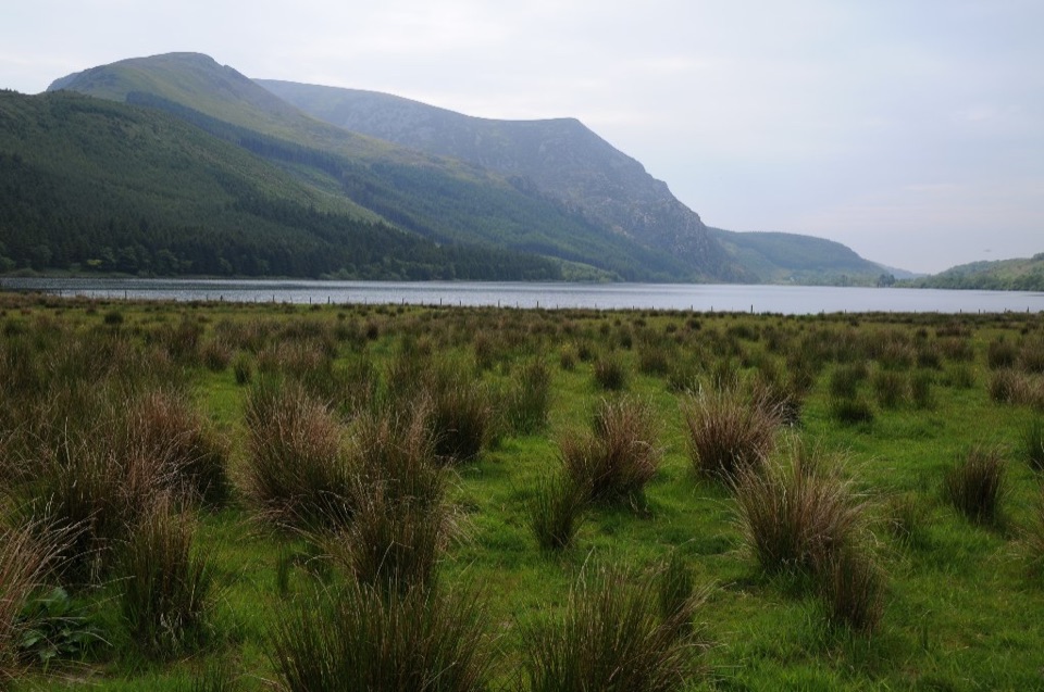 Sight · 0.5 km awayLlyn CwellynA quiet mountain lake with a rare accessible boardwalk
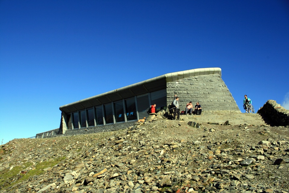 Visitor center · 4.5 km awayHafod Eryri Summit Visitor CentreA summit building with panoramic views and a hard-earned café stop
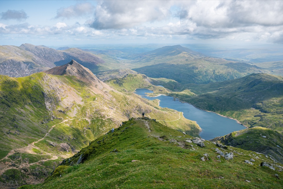 Sight · 4.6 km awayYr Wyddfa (Snowdon)Wales’ highest summit, with huge views when the clouds cooperate
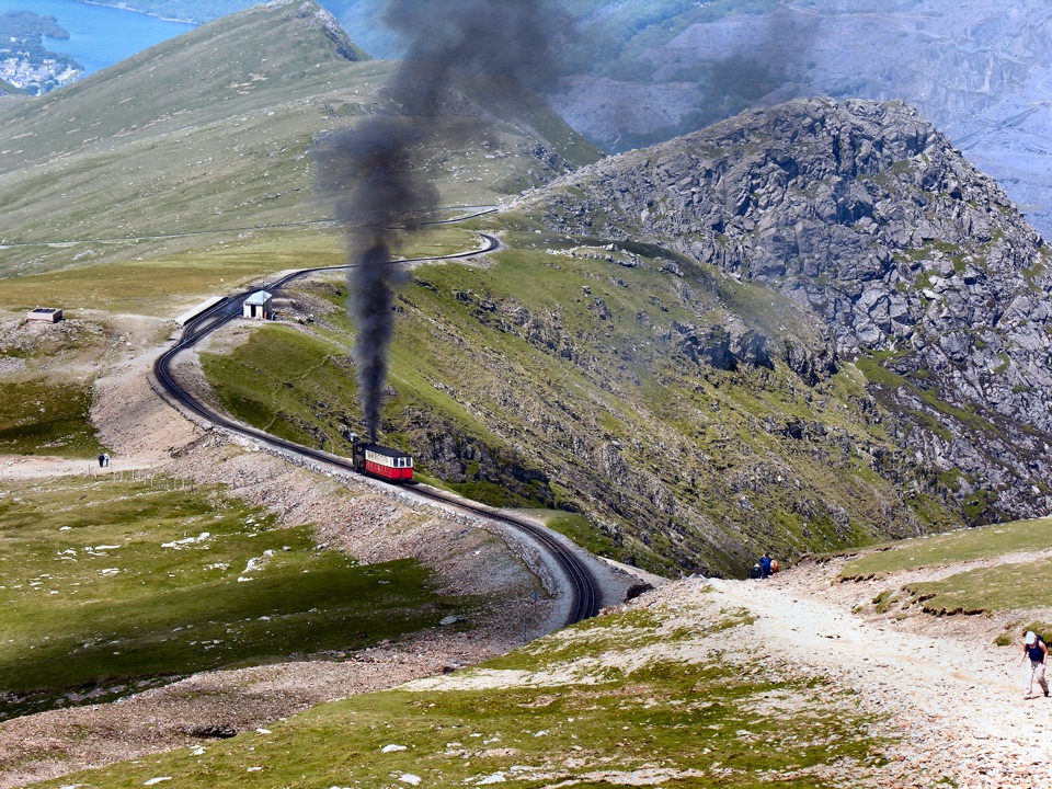 Sight · 5 km awaySnowdon Mountain RailwayHistoric rack railway grinds past waterfalls to the Welsh summit
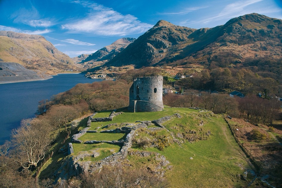 Sight · 5.2 km awayDolbadarn CastleLlywelyn's slate-walled round tower guarding the Llanberis Pass
 Sight · 5.4 km awayLlanberisA lakeside mountain base with slate heritage and two railways
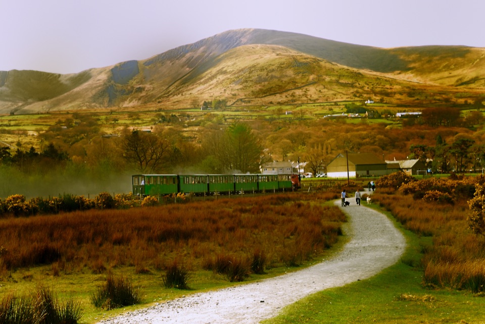 Sight · 5.8 km awayLlanberis Lake RailwayA steam ride threading Llyn Padarn, slate country, and mountain views
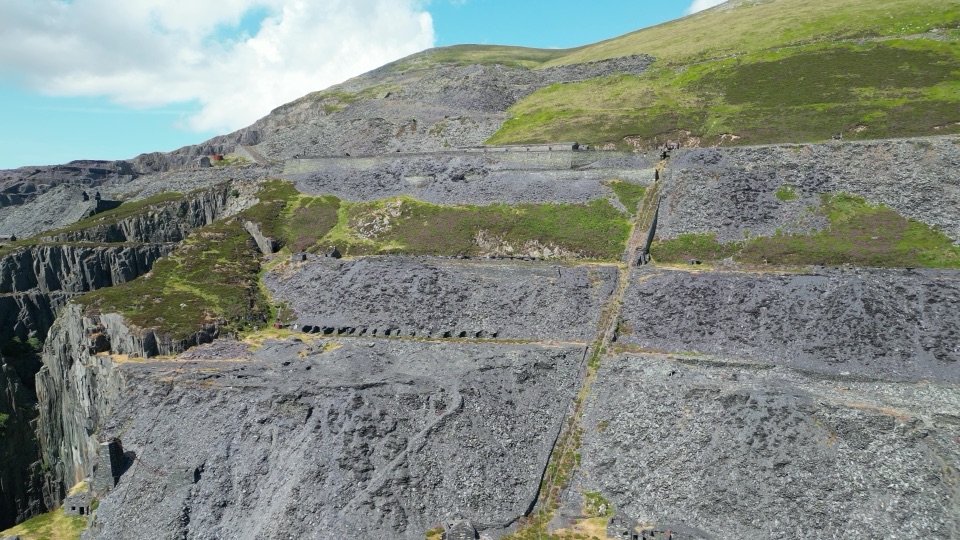 Sight · 6.2 km awayDinorwig Slate QuarryThirty galleries of abandoned slate terraces high above Llyn Padarn
Parkwolf’s Eryri ranking

The audio tour guide for the drive, plus offline maps, trails, and wildlife heatmaps for when the signal drops.



