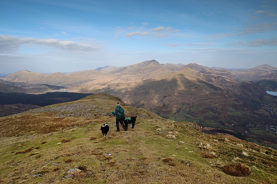
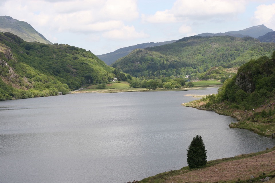
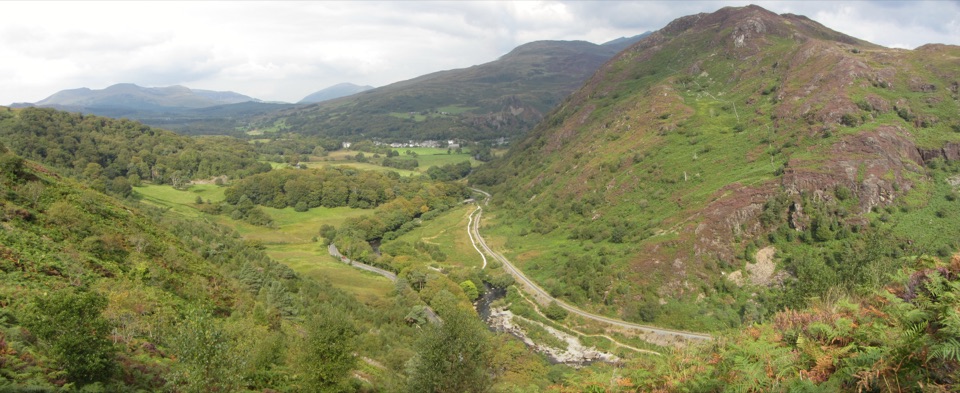
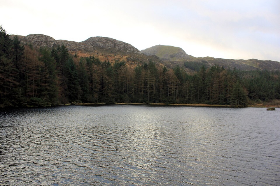
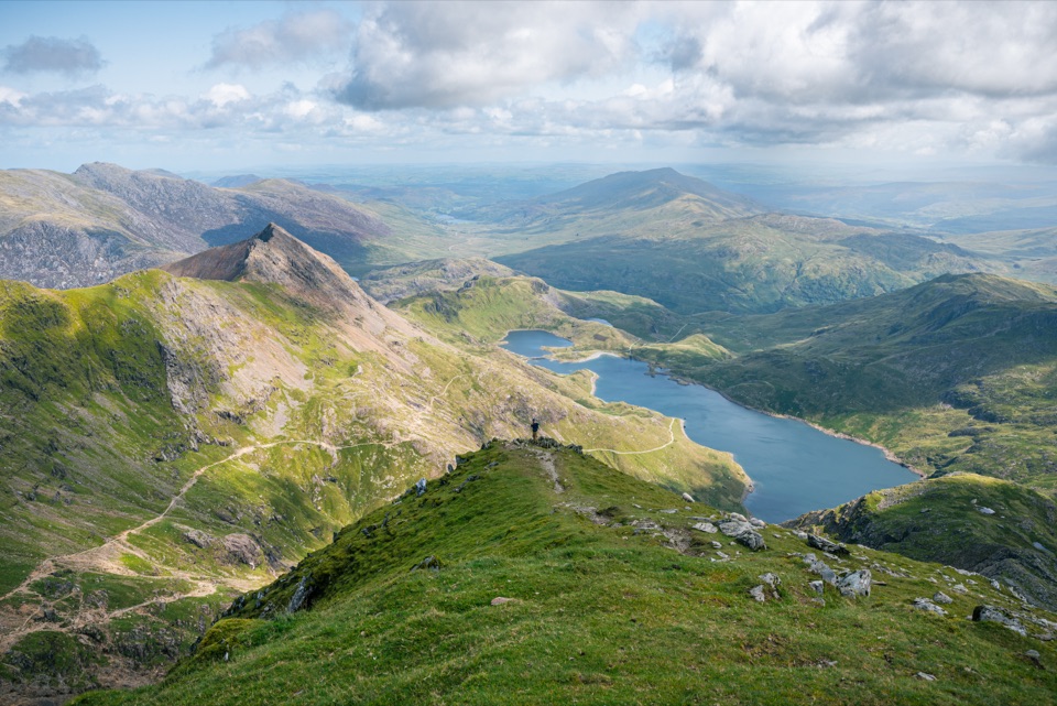
Llyn Dinas in Eryri National Park

Sight · Eryri National Park

Llyn Dinas

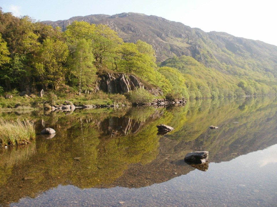
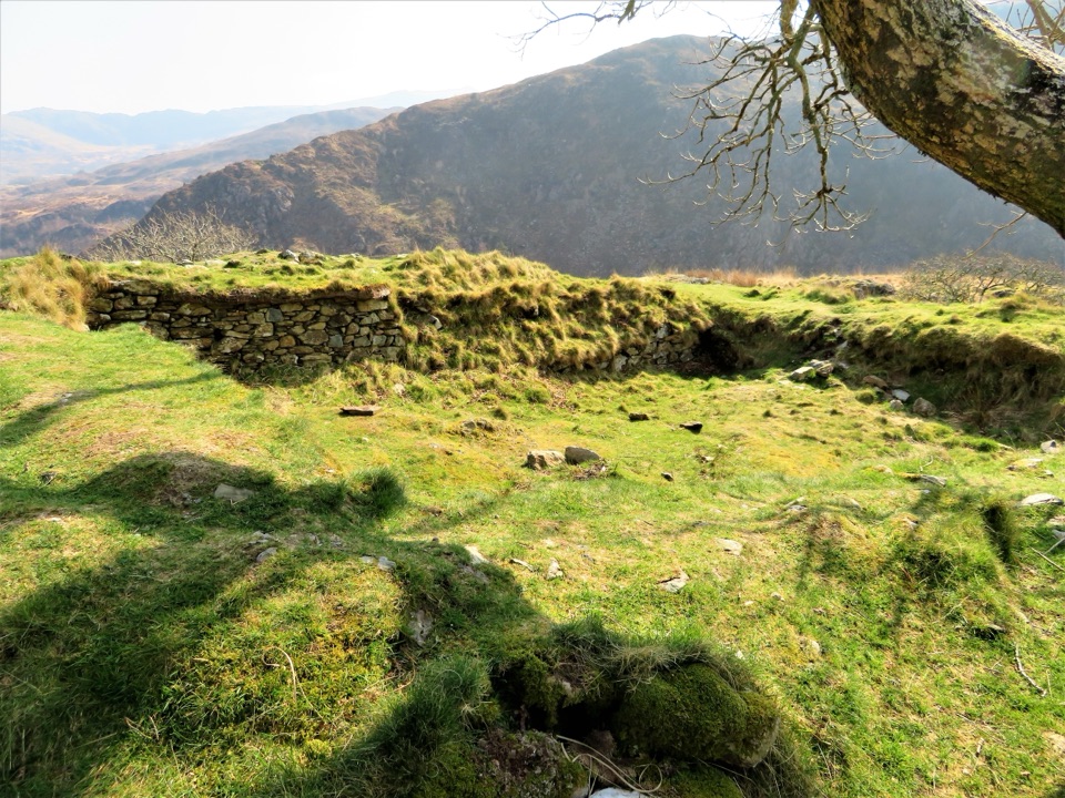
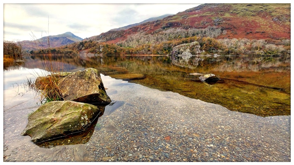
Mirror-calm Glaslyn water beneath the dragon-legend hill of Dinas Emrys

Photo: Wikimedia Commons
Type
Sight
Nearest trail
1.5 km
Audio stories
10 nearby
  • Pullout
  • Parking
  • Scenic viewpoint

Hear the audio tour

Llyn Dinas by the Glaslyn

Overview

About Llyn Dinas

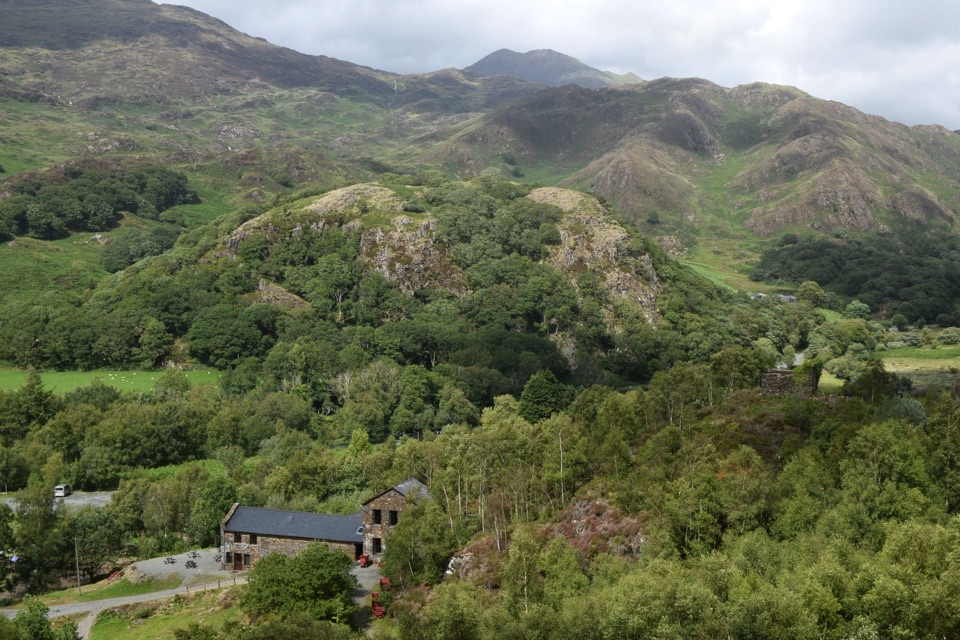
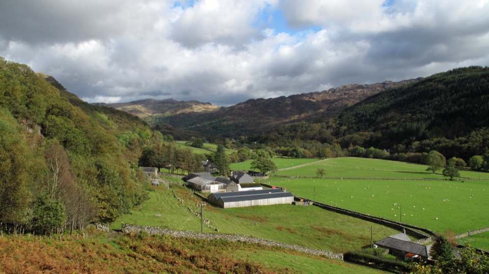
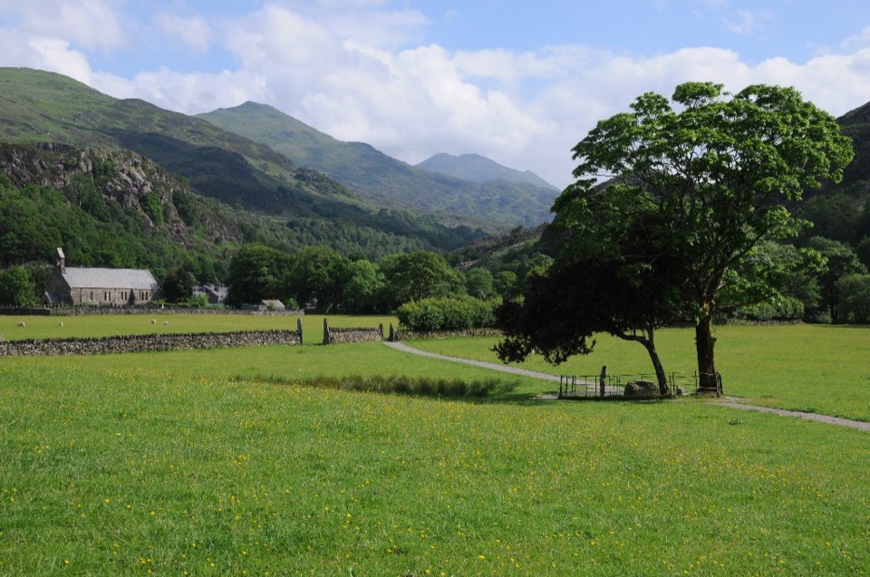
A quiet, mountain-backed lake in Nant Gwynant, a short distance east of Beddgelert, with the River Glaslyn feeding and draining it. The wooded shoreline, open water and surrounding hills make it a reflective, photogenic stretch of valley floor. It is separate from Llyn Gwynant further up the valley, and from the rocky hillfort knoll of Dinas Emrys that rises nearby.

Why stop

  • Wooded shoreline and mountain reflections
  • Mostly level lakeside walking

Heads up

  • Approach paths can be rougher and narrower
  • Open water is cold and unlifeguarded

Map

Where it is

Loading the Eryri map
Full map
SightLlyn Dinas53.02555, -4.06338
Keep this map with you offline in the Parkwolf app

Plan your stop

Before you go

Best time to visit

  • Early morning tends to give the calmest reflections and the fewest people.
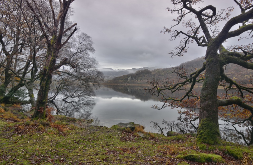
  • Autumn is often rewarding for colour in the surrounding woodland, though conditions vary year to year.
  • Expect changeable mountain weather at any season and bring waterproofs and proper footwear.

Getting there and parking

The lake lies beside the valley road between Beddgelert and the head of Nant Gwynant. Parking is limited, with small lay-bys that are reported to fill in good weather, and a further car park lies to the south. Arriving on foot from Beddgelert or starting from Craflwyn avoids depending on roadside space.

A park ranger sits on a dash-mounted phone, talking, as Parkwolf’s Tour Guide plays “Army Cutworm Moths: A Grizzly Bear Buffet” on Grand Loop Road below Dunraven Pass in Yellowstone
Parkwolf Tour GuideThe highest, rockiest slopes around here are a summer buffet for grizzly bears.

Eryri Tour Guide

Your drive to Llyn Dinas, narrated.

Parkwolf is a GPS audio tour guide for Eryri National Park. As you drive, it chimes in with what’s ahead: hidden gems, upcoming stops, history, geology, and wildlife, right through your car’s speakers.

Recorded for this place

Llyn Dinas by the Glaslyn
0:00 / 0:24
“You're coming up on Llyn Dinas, a quiet lake beside the Glaslyn in Nant Gwynant.”

Plays as you drive up to Llyn Dinas in the Parkwolf Eryri Tour Guide.

More stories near here in the app

  • Pots from Across the Sea
  • Sygun Copper Mine
  • The Climbers Above Hafod y Llan
  • Watkin Path from Pont Bethania
  • 298 audio storiesacross Eryri’s roads, triggered by GPS as you drive
  • Wildlife heatmapsfor Grey Heron, Tawny Owl, Common Raven, and 9 more
  • Works offlinemaps, 120 trails, 82 places, and audio download before you lose signal
  • CarPlay readysimple controls built for the drive
★★★★★
“Fantastic app with many points of information… It’s great to just turn on while you’re driving and it gives you an audio tour of the national Park. We love it!!!!”
JMJamesApp Store review
Download Parkwolf on the App StoreGet Parkwolf on Google Play

4.7 from 8,600+ ratings

Guide

More about Llyn Dinas

Why come hereStill water and reflections on calm days, with hills and trees mirrored in the surface.
  • Still water and reflections on calm days, with hills and trees mirrored in the surface.
  • Mostly level lakeside walking, unusual in a landscape of steep ground.
  • Picnic and photography spots along the shore.
  • Bird watching from the quieter sections of bank.
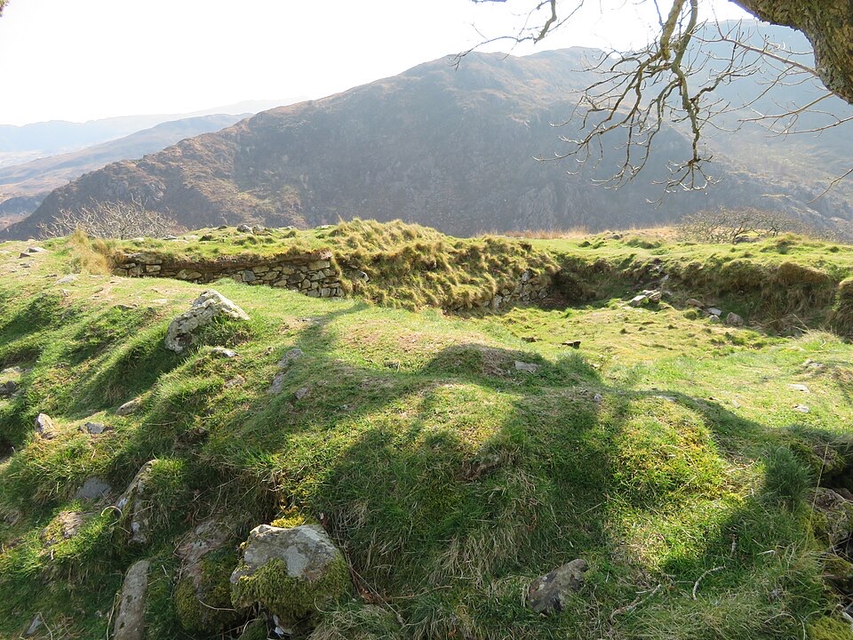
  • Legend on the doorstep: the hill of Dinas Emrys above the lake carries the story of the red and white dragons, told as folklore rather than history.
The lake itselfRoughly 60 to 66 acres (about 24 to 27 hectares).
  • Roughly 60 to 66 acres (about 24 to 27 hectares).
  • Fairly shallow, with a reported maximum depth of about 10 m.
  • Sits at around 55 m elevation in a basin ringed by higher ground.
Walking routesFrom Beddgelert.

From Beddgelert. Official route information places the lake on the Fisherman’s Path and Cwm Bychan routes out of the village, so it can be reached on foot without driving to the shore.

Southern shore track. The track along the south side is described as well maintained, easy to follow and mostly flat. Approaches from nearby parking areas can be rougher and narrower, and a return along the road is less pleasant than staying on the trail.

Craflwyn, Hafod y Llan and Llyn Dinas circuit:

Dinas Emrys walk:

Longer days can be linked on towards the Watkin Path for those wanting to continue into the hills.

  • Starts at the Craflwyn car park, grid reference SH600489.
  • 6.5 miles / 10.4 km, allow 3 to 4 hours.
  • Uneven surfaces and steps throughout.
  • Only partly waymarked: carry a map and compass and be prepared for mountain conditions.
  • Passes farmland and livestock, so dogs on leads.
  • Takes in heath and ffridd, waterfalls, ancient oak woodland and the lake shore.
  • Also from Craflwyn, 2.2 miles / 3.52 km, 1.5 to 2.5 hours.
  • Mainly gentle uphill with a steep, rocky final section.

FacilitiesNo facilities are verified at the lake shore; bring what you need.

No facilities are verified at the lake shore; bring what you need. Take your own food, water and a bag for your rubbish, and plan for uneven, sometimes wet ground.

If you go in the waterEntering the lake is optional and entirely at your own risk.

Entering the lake is optional and entirely at your own risk. It is open water: cold, deep in places and not lifeguarded or supervised.

  • Go with a buddy, never alone.
  • Only in calm, settled conditions, and only if you are a confident cold water swimmer.
  • Enter slowly to manage cold shock, and stay close to the shore.
  • No diving or jumping: depths and submerged obstacles are unknown.
  • Get warm and dressed quickly afterwards.
Respect the placeKeep to paths where they exist, close gates, give livestock space, keep dogs under close…

Keep to paths where they exist, close gates, give livestock space, keep dogs under close control on leads near farmland, and take all litter home.

Wildlife

Wildlife in Eryri

All Eryri wildlife maps

Sighting maps show where each species has been reported across Eryri. Wildlife moves, so no sighting is guaranteed.

Keep exploring

Near Llyn Dinas

See it all on the map

Trails nearby

More stops nearby

Parkwolf’s Eryri ranking

Top sights in Eryri

All 82 places
  1. 1Yr Wyddfa (Snowdon)Sight
  2. 2Snowdon Mountain RailwaySight
  3. 3Cader IdrisSight
  4. 4Harlech CastleSight
  5. 5Betws-y-CoedSight
  6. 6LlanberisSight

Take Parkwolf to Eryri.

The audio tour guide for the drive, plus offline maps, trails, and wildlife heatmaps for when the signal drops.

4.7 from 8,600+ ratings

Download Parkwolf on the App StoreGet Parkwolf on Google Play