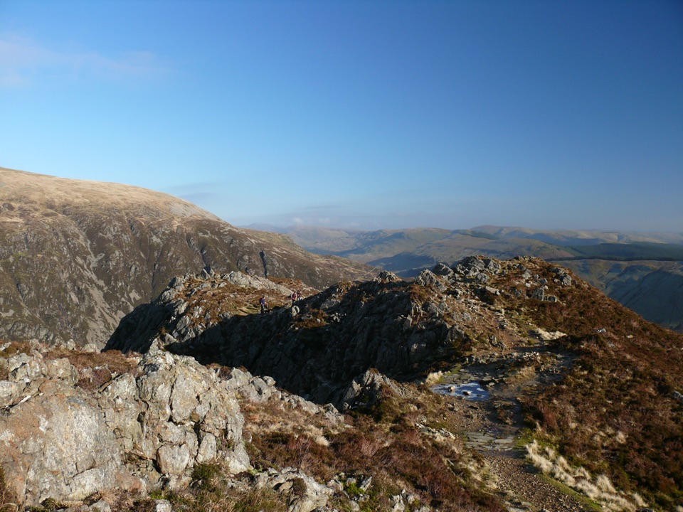
Parking
Pont Bethania Car Park, Nant Gwynant (SH 627 507), is reached via the A498. Parking is extremely limited; use the park bus service, which stops at Pont Bethania.

#6 of 120 trails in Eryri
Eryri National Park, WA
Waterfalls, slate ruins and a brutally steep finish to Yr Wyddfa's summit
Overview
This is not a good first mountain walk. The authority notes that alternative summit routes may suit first time Yr Wyddfa walkers better, and the neighbouring Rhyd Ddu Path is the natural comparison since the two share the final approach. Choose the Watkin Path if you already have hill experience and want the quarry history and Cwm Llan scenery, and accept a long, steep, loose finish in exchange. It is described as not among the busier routes, but it remains demanding throughout.
 Parkwolf’s verdictIs this the right Yr Wyddfa route for you
Map & elevation
Plan your hike

The highest, rockiest slopes around here are a summer buffet for grizzly bears.
Eryri Tour Guide
Parkwolf is a GPS audio tour guide for Eryri National Park. As you drive, it chimes in with what’s ahead: hidden gems, upcoming stops, history, geology, and wildlife, right through your car’s speakers.
Recorded for this trailhead
Watkin Path from Pont Bethania“You're approaching the Watkin Path at Pont Bethania, a summit route that begins with waterfalls and old slate workings in Cwm Llan.”
Plays as you drive up to this trailhead in the Parkwolf Eryri Tour Guide.
More stories near here in the app
“Fantastic app with many points of information… It’s great to just turn on while you’re driving and it gives you an audio tour of the national Park. We love it!!!!”


Trail guide
There and back again from Pont Bethania Car Park in Nant Gwynant (SH 627 507), climbing through Cwm Llan to the summit of Yr Wyddfa (Snowdon) and returning by the same line. The official figures are 13 km / 8 miles total for the round trip, not one way, with 1,015 m / 3,330 ft of ascent and about 6 hours of walking.
The payoff is a rare mix of waterfalls, quarry archaeology, the wide bowl of Cwm Llan, long mountain views and the summit itself.
Graded Hard / Strenuous, and the national park authority describes it as particularly challenging. Lower sections are woodland, streamside and open valley paths that walk easily. The upper route is rough rocky mountain terrain and scree, and the final section below the Rhyd Ddu junction is extremely steep and loose underfoot with possible scrambling. There is real exposure and the consequences of a wrong line are serious. Full hill walking gear is essential, and winter conditions may call for specialist equipment.
Navigation skills are essential, and a recommended local Explorer map for the area should be carried and used. The key detail to remember is that the Watkin Path does not drop directly from the summit: on descent you must follow the signed junction near the standing stone carefully to regain the Cwm Llan side rather than continuing down the Rhyd Ddu Path.
The path opened in 1892 and was one of the first footpaths in Britain created purely for recreation. Gladstone Rock commemorates that opening. The slate quarry remains, the crushing mill and the ruined Plas Cwm Llan give the valley a strong industrial past that is visible for much of the climb.
Parking at Pont Bethania is extremely limited, so plan your transport before you travel. The park authority asks visitors to use the park bus service, which stops at Pont Bethania. No route specific dog policy is published for this path, so anyone considering bringing a dog should check the current access signs and park guidance before setting out.
Wildlife
 77 sightingsGrey HeronMost seen around 7 AMSighting map
 17 sightingsTawny OwlMost seen around 6 AMSighting map
 32 sightingsCommon RavenMost seen around 8 AMSighting map
 21 sightingsGreat Spotted WoodpeckerMost seen around 7 AMSighting map
 18 sightingsEuropean RabbitMost seen around 7 AMSighting map
 161 sightingsViviparous LizardMost seen around 10 AMSighting map
Sighting maps show where each species has been reported across Eryri. Wildlife moves, so no sighting is guaranteed.
Keep exploring
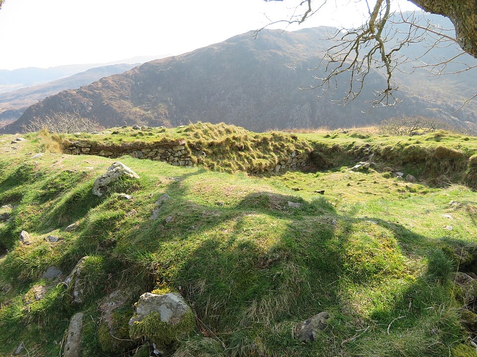 ModerateThe Legendary Trail of Dinas Emrys3.5 km · 2 hr · 3.3 km awayWoodland climb to a hillfort summit above Llyn Dinas and Nant Gwynant
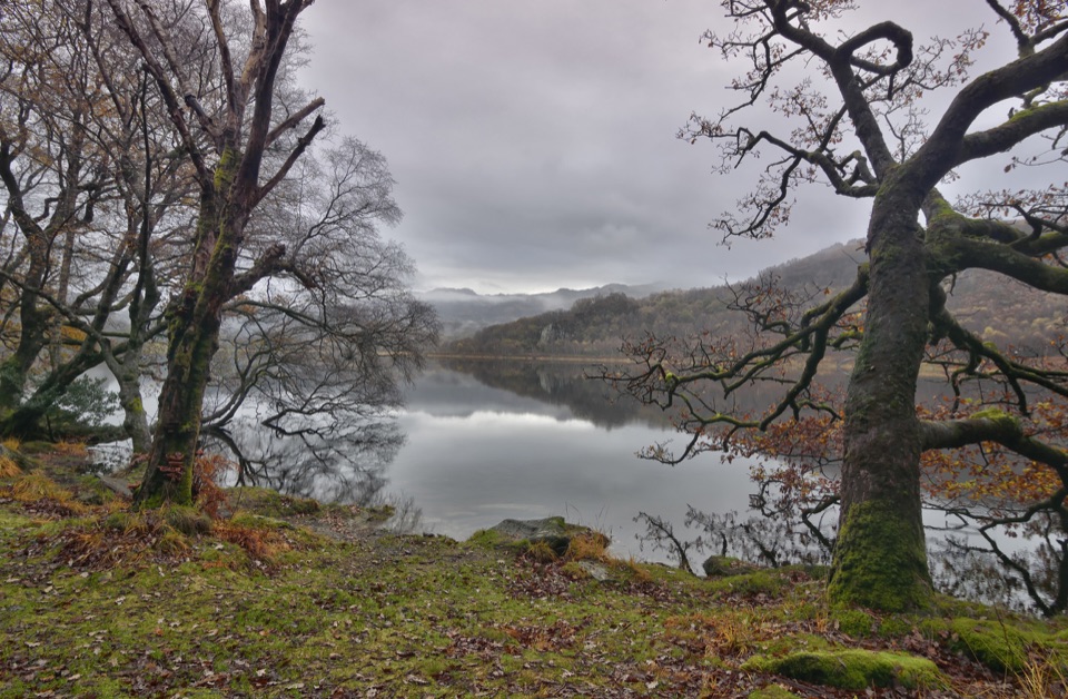 ModerateCraflwyn, Hafod y Llan and Llyn Dinas Walk10.5 km · 3.5 hr · 3.3 km awayOak woods, waterfalls and open heath on a loop to Llyn Dinas
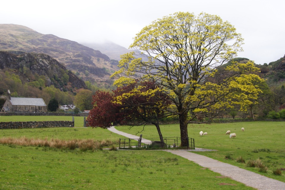 EasyGelert's Grave Walk2.1 km · 45 min · 4.5 km awayShort riverside loop to Gelert's stone memorial, with herons and dippers
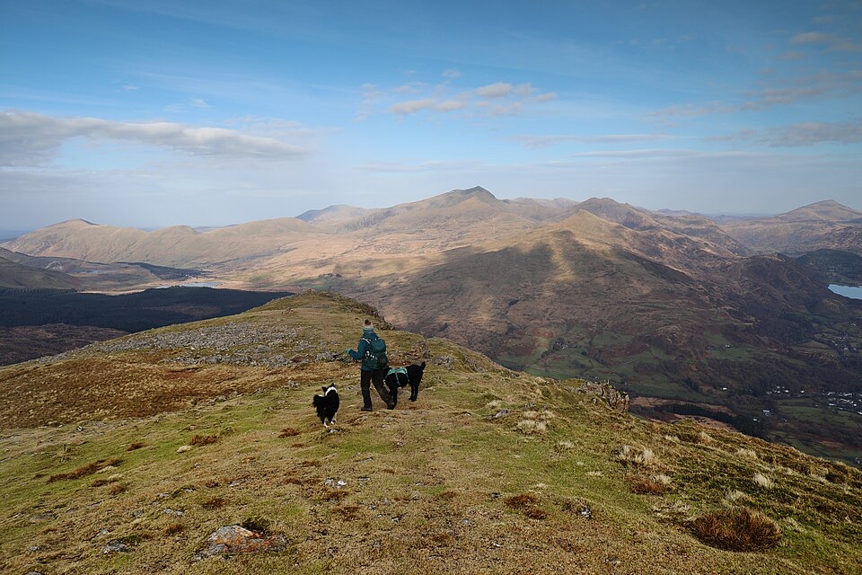 ChallengingMoel Hebog Circular10.6 km · 5 hr · 4.7 km awaySteep scree, three summits, then a forest descent back to Beddgelert
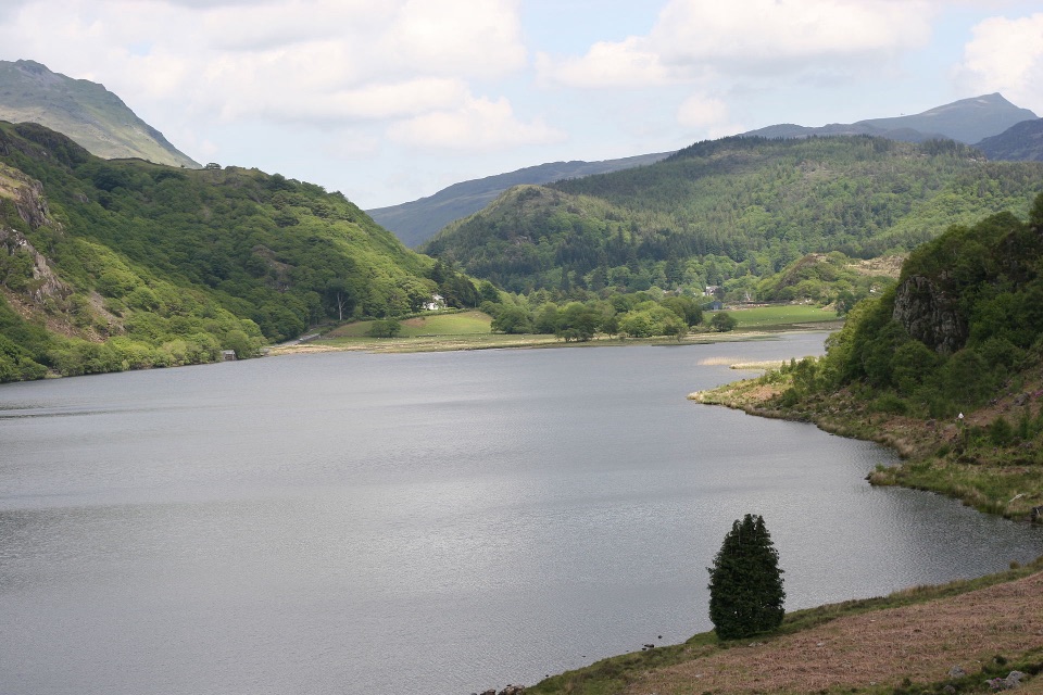 ChallengingFisherman’s Path and Cwm Bychan10 km · 5 hr · 4.7 km awayA strenuous gorge and copper-mine loop from Beddgelert village
 ChallengingMiners’ Track12.9 km · 6 hr · 5.2 km awayGentle lakeside start, then a steep scree haul up to Yr Wyddfa
 ChallengingYr Wyddfa Pyg Track and Miners’ Track Loop12.1 km · 6 hr · 5.3 km awayRocky climb to Wales's highest summit, down past lakes and mine ruinsChallengingPyg Track11 km · 6 hr · 5.3 km awayRugged rocky climb from Pen-y-Pass to Yr Wyddfa's summit and back
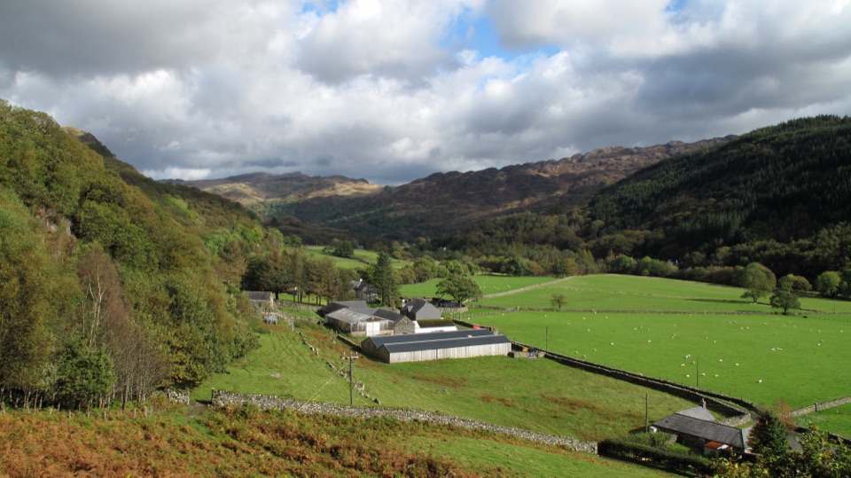 Campground · 0.6 km awayHafod y Llan CampsiteTents-only pitches on a working hill farm beside the Watkin Path
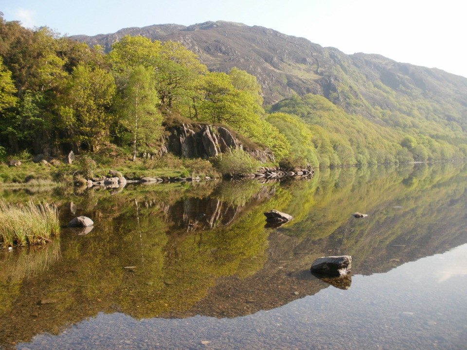 Sight · 1.5 km awayLlyn DinasMirror-calm Glaslyn water beneath the dragon-legend hill of Dinas Emrys
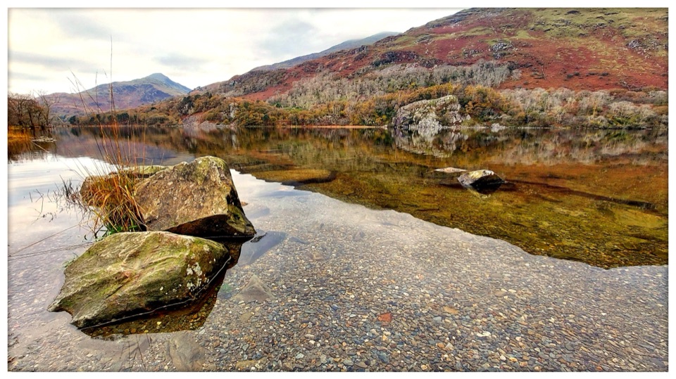 Sight · 2 km awayLlyn GwynantMountain reflections, cold swims, and a classic valley lake
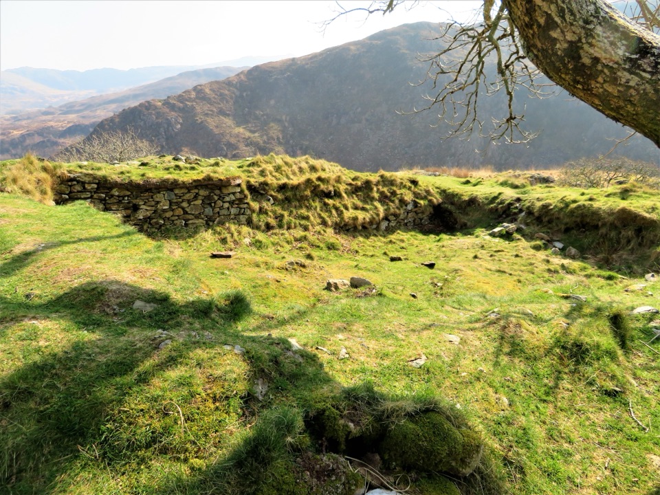 Sight · 2.6 km awayDinas EmrysA dragon legend, hillfort ruins, and a big Nant Gwynant view
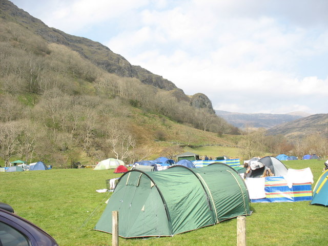 Campground · 2.8 km awayLlyn Gwynant CampsiteLakeside camping with direct access to wild swimming and mountain walks
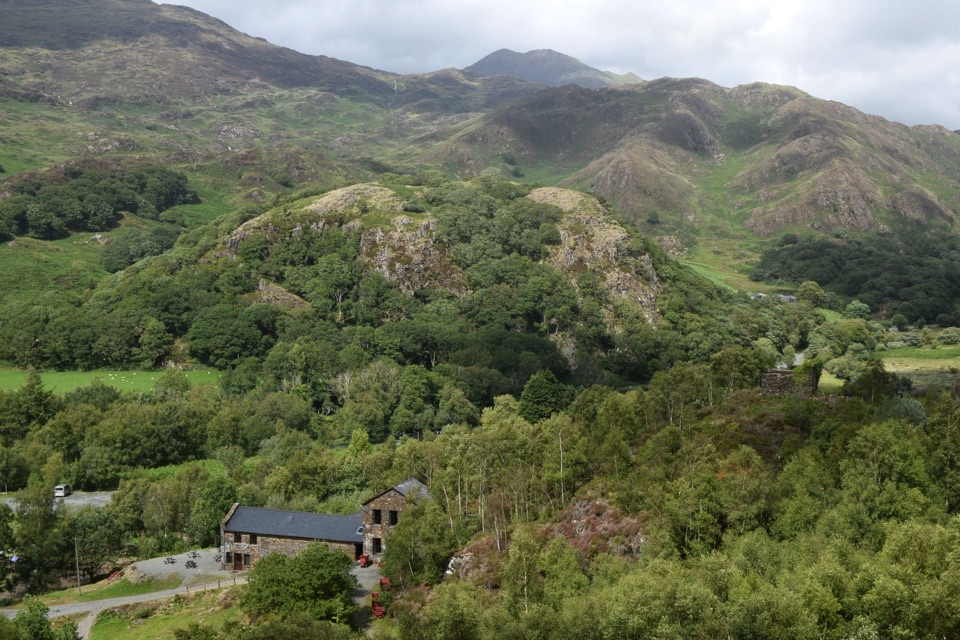 Sight · 3 km awaySygun Copper MineVictorian mine tunnels climb to a surprise mountain panorama
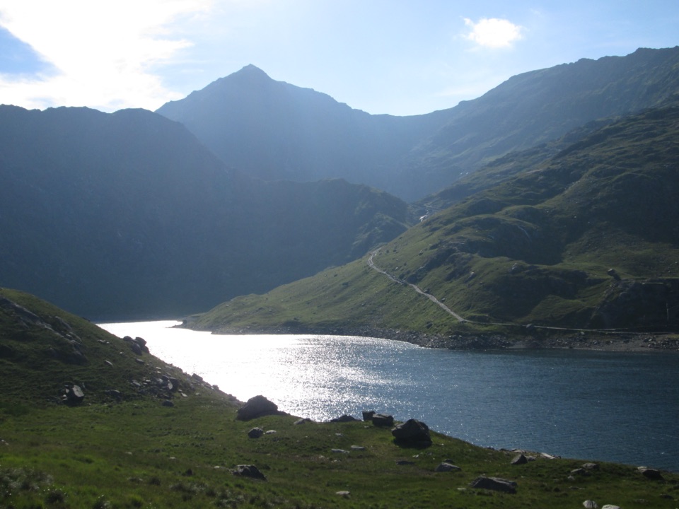 Sight · 3.7 km awayLlyn LlydawMountain lake crossed by a stone causeway below Yr Wyddfa
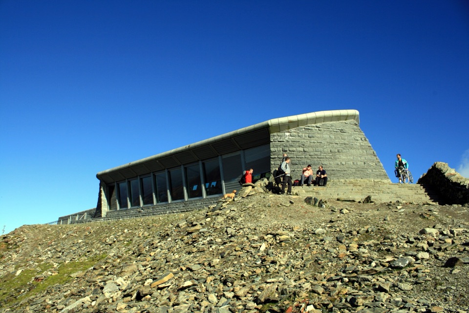 Visitor center · 4.1 km awayHafod Eryri Summit Visitor CentreA summit building with panoramic views and a hard-earned café stop
Parkwolf’s Eryri ranking
The audio tour guide for the drive, plus offline maps, trails, and wildlife heatmaps for when the signal drops.