Glyder Fawr in Eryri National Park

Sight · Eryri National Park

Glyder Fawr

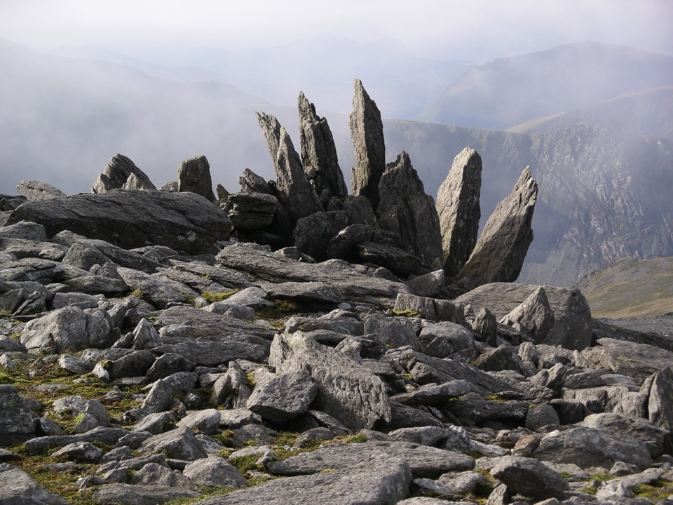
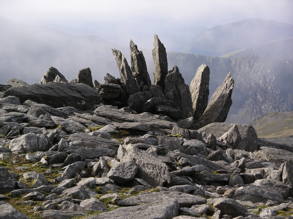
A wild boulder plateau with wide views across Eryri

Photo: Public Domain
Type
Sight
Nearest trail
2.4 km
Audio stories
5 nearby
  • #33 of 73 sights

Hear the audio tour

Cwm Idwal and Ogwen

Overview

About Glyder Fawr

Why stop

  • Jagged tors and boulders give the summit real character
  • Far-reaching views when the cloud lifts

Heads up

  • Steep, loose terrain makes the short-looking route slow
  • Summit navigation gets confusing in mist
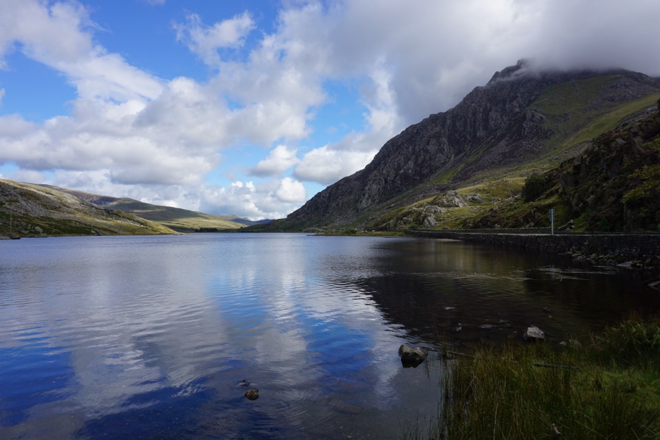
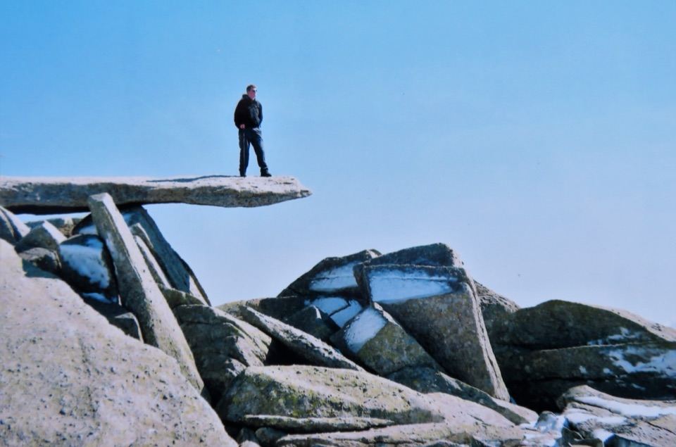
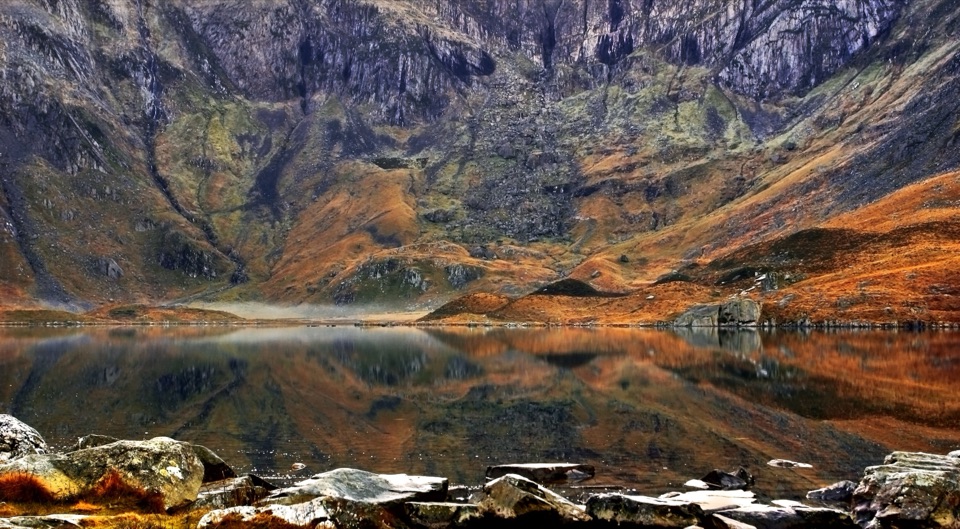
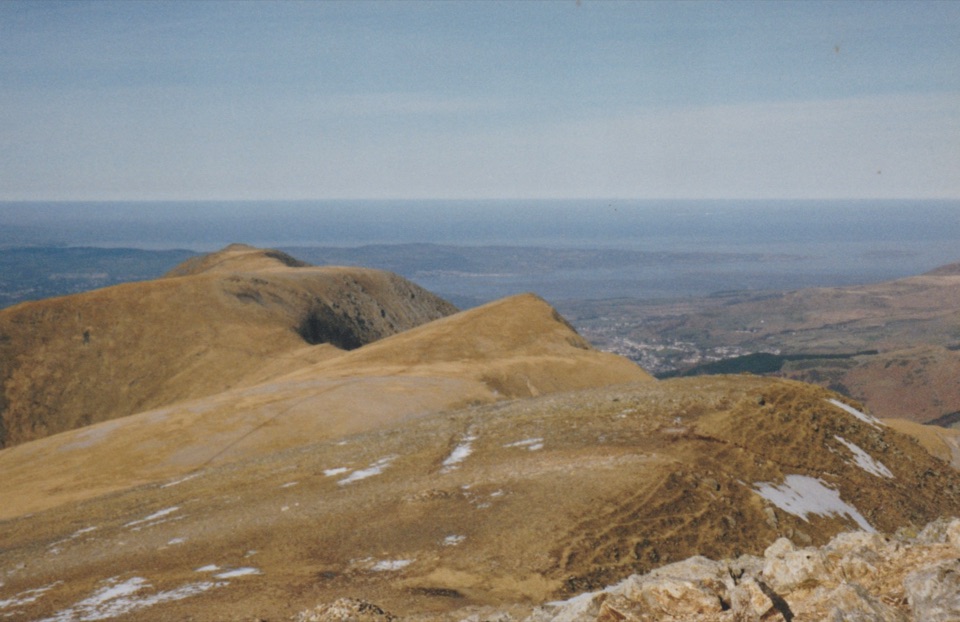
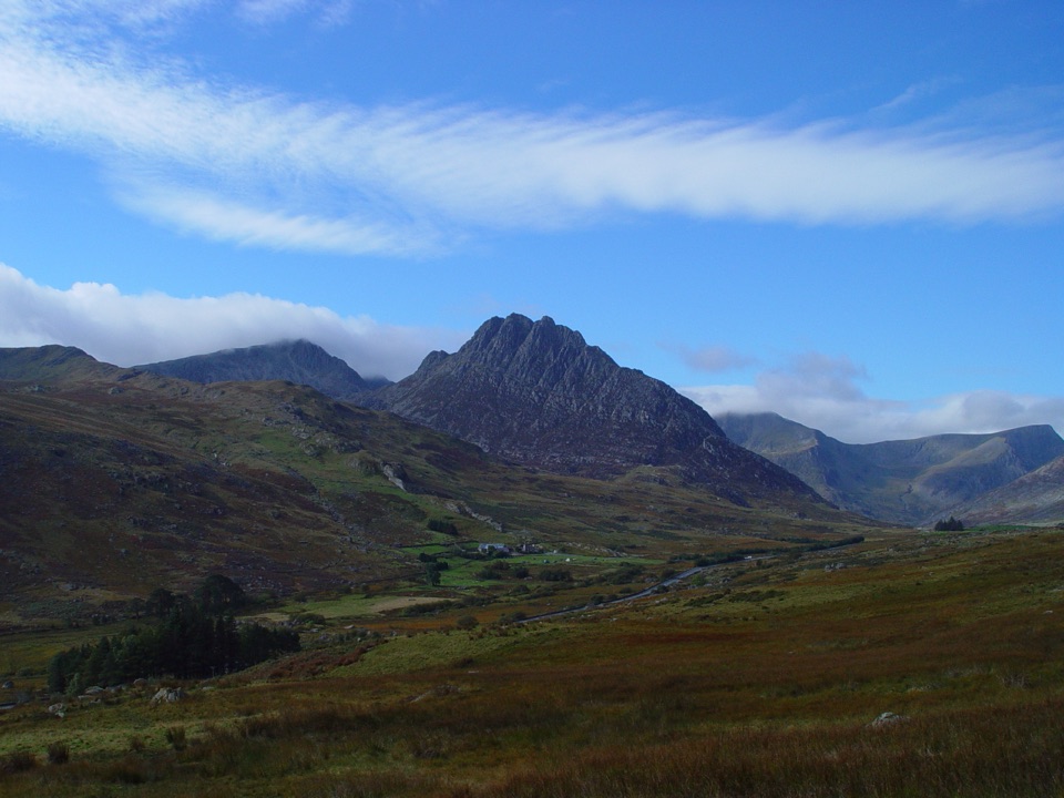
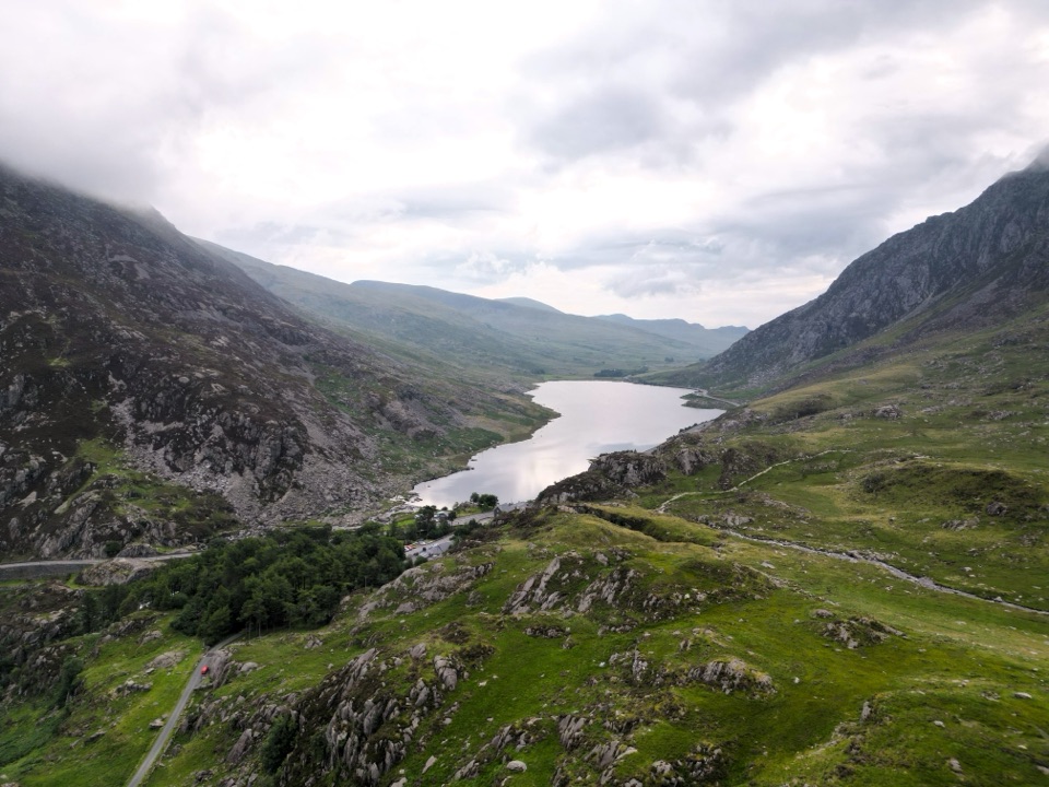
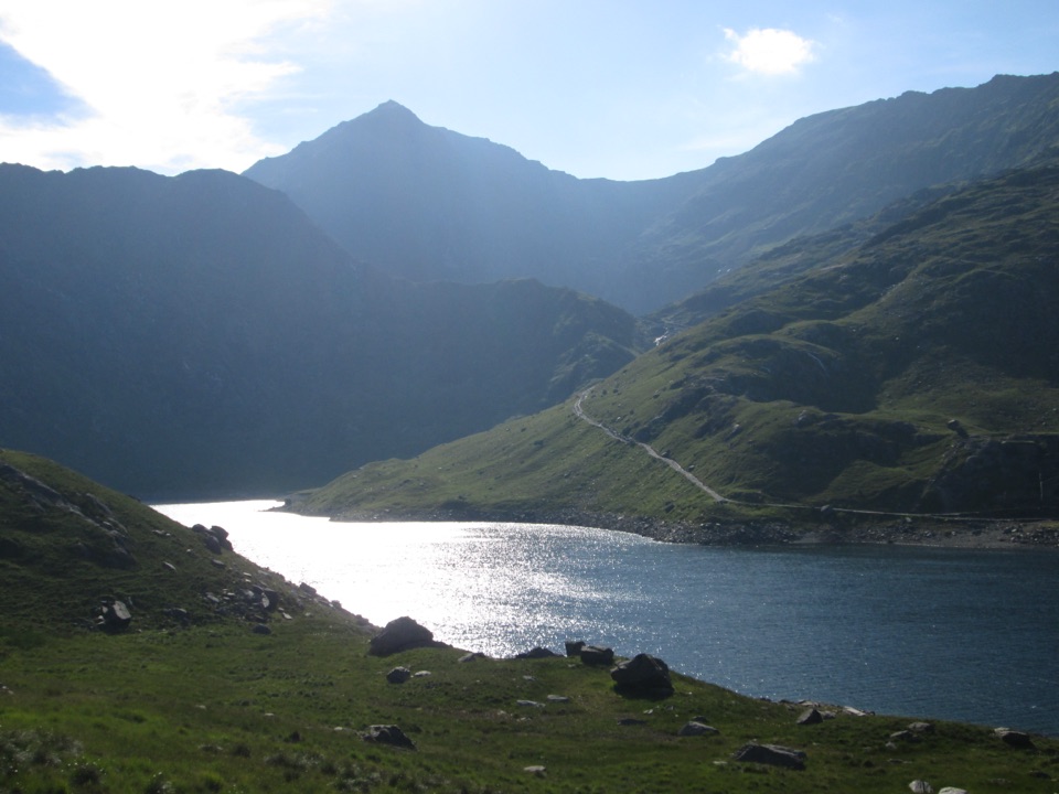
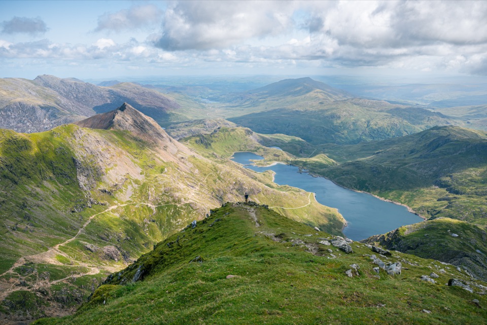
Glyder Fawr is the highest summit in the Glyderau, rising to 1,001 metres. The reward is not a tidy summit cairn but a broad, broken plateau of dark rocks, sharp tors and boulders that feels very different from the smoother tops elsewhere in Eryri. On a clear day, the view takes in Cwm Idwal, Tryfan, Glyder Fach, Yr Wyddfa and the surrounding ranges.
Parkwolf’s verdictWhat makes it worth the climb

Map

Where it is

Loading the Eryri map
Full map
SightGlyder Fawr53.10149, -4.02912
Keep this map with you offline in the Parkwolf app

Plan your stop

Before you go

Best time to go

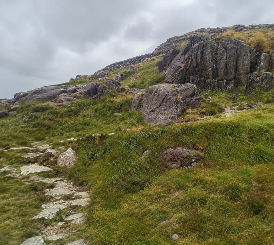
The upper route is rough throughout, and the path can become difficult to follow among the boulders. Hands may be useful on rocky steps near Twll Du. The stream crossing below the Devil's Kitchen can become unsafe after heavy rain or during thaw, so turn back if the water is high rather than improvising a crossing. Snow and ice can remain on shaded steps and the plateau well into spring.

Go with a good mountain forecast, map and compass, waterproofs, warm layers, food, water and a headtorch. Early starts are best for quieter paths and a better chance of clear summits; weekends and bank holidays are much busier around Ogwen. For photographs, low morning or late-afternoon light brings out the texture of the tors, while cloud can remove the views and make the plateau much harder to navigate.

Keep to durable paths where possible, take litter home, keep dogs close, and do not camp or light fires in Cwm Idwal.


Getting there

This is a mountain summit, not a roadside viewpoint. The classic approach is from Ogwen through Cwm Idwal, past Twll Du, also known as the Devil's Kitchen, and Llyn y Cwn before the steep, loose climb to the top. A common out-and-back is roughly 8 km with about 800 m of ascent, but allow 5 to 7 hours because the rock and scree make progress slow. Other approaches from Pen-y-Pass or Capel Curig can link Glyder Fawr with Glyder Fach, Y Garn or Tryfan, but they are longer mountain days rather than easy extensions.

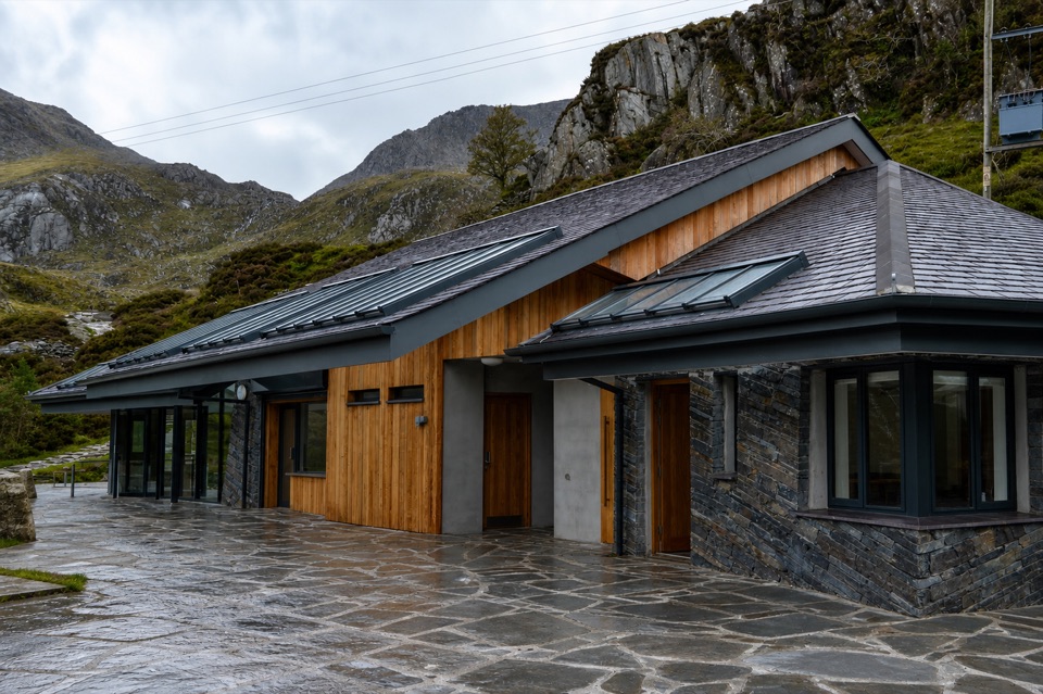
Use a recognised trailhead and follow local parking rules. The Ogwen Centre at the valley floor has toilets and simple refreshments, but there are no visitor services once you are on the high mountain. Treat the summit coordinate as a navigation point, not a place you can drive to.

A park ranger sits on a dash-mounted phone, talking, as Parkwolf’s Tour Guide plays “Army Cutworm Moths: A Grizzly Bear Buffet” on Grand Loop Road below Dunraven Pass in Yellowstone
Parkwolf Tour GuideThe highest, rockiest slopes around here are a summer buffet for grizzly bears.

Eryri Tour Guide

Your drive to Glyder Fawr, narrated.

Parkwolf is a GPS audio tour guide for Eryri National Park. As you drive, it chimes in with what’s ahead: hidden gems, upcoming stops, history, geology, and wildlife, right through your car’s speakers.

Recorded for this place

Cwm Idwal and Ogwen
0:00 / 0:33
“You're approaching the Ogwen start for Cwm Idwal, where a path climbs into an ice-carved bowl around Llyn Idwal. The full three-mile lake circuit takes around three hours.”

Plays as you drive up to Glyder Fawr in the Parkwolf Eryri Tour Guide.

More stories near here in the app

  • The Corner Above the Pass
  • Pen y Pass and Yr Wyddfa
  • Llyn Ogwen
  • The Canoe Beneath the Causeway
  • 298 audio storiesacross Eryri’s roads, triggered by GPS as you drive
  • Wildlife heatmapsfor Grey Heron, Tawny Owl, Common Raven, and 9 more
  • Works offlinemaps, 120 trails, 82 places, and audio download before you lose signal
  • CarPlay readysimple controls built for the drive
★★★★★
“Fantastic app with many points of information… It’s great to just turn on while you’re driving and it gives you an audio tour of the national Park. We love it!!!!”
JMJamesApp Store review
Download Parkwolf on the App StoreGet Parkwolf on Google Play

4.7 from 8,600+ ratings

Guide

More about Glyder Fawr

What makes it worth the climbThe summit sits in a landscape shaped by ancient rock folding and Ice Age glaciers.

The summit sits in a landscape shaped by ancient rock folding and Ice Age glaciers. The cliffs, scree and jagged formations around the Glyderau are the dramatic end of that story. In early spring, purple saxifrage and migrant birds add interest around Cwm Idwal; in summer, the surrounding heathland brings heather and the chance of seeing upland birds or feral goats. Wildlife is never guaranteed, so come primarily for the mountain experience.

Wildlife

Wildlife in Eryri

All Eryri wildlife maps

Sighting maps show where each species has been reported across Eryri. Wildlife moves, so no sighting is guaranteed.

Keep exploring

Near Glyder Fawr

See it all on the map

Trails nearby

More stops nearby

Parkwolf’s Eryri ranking

Top sights in Eryri

All 82 places
  1. 1Yr Wyddfa (Snowdon)Sight
  2. 2Snowdon Mountain RailwaySight
  3. 3Cader IdrisSight
  4. 4Harlech CastleSight
  5. 5Betws-y-CoedSight
  6. 6LlanberisSight

Take Parkwolf to Eryri.

The audio tour guide for the drive, plus offline maps, trails, and wildlife heatmaps for when the signal drops.

4.7 from 8,600+ ratings

Download Parkwolf on the App StoreGet Parkwolf on Google Play