Parking
Rhyd Ddu Station Car Park off the A4085, grid reference SH 571 526. The route begins a short walk away at Rhyd Ddu village access; arrange a second car, lift or public transport from Nebo.
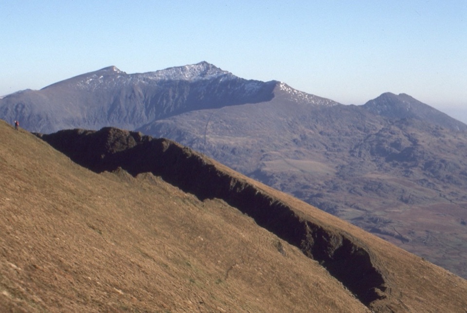
Eryri National Park, WA
Six quiet summits and Grade 1 scrambles on a one-way ridge
Overview
Map & elevation
Plan your hike

The highest, rockiest slopes around here are a summer buffet for grizzly bears.
Eryri Tour Guide
Parkwolf is a GPS audio tour guide for Eryri National Park. As you drive, it chimes in with what’s ahead: hidden gems, upcoming stops, history, geology, and wildlife, right through your car’s speakers.
Recorded for this trailhead
Rhyd Ddu Path to Yr Wyddfa“Rhyd Ddu is coming up, the start of a demanding route to Yr Wyddfa's summit. The first mile follows an old slate quarry track, but the path soon climbs steeply onto rocky ridges.”
Plays as you drive up to this trailhead in the Parkwolf Eryri Tour Guide.
More stories near here in the app
“Fantastic app with many points of information… It’s great to just turn on while you’re driving and it gives you an audio tour of the national Park. We love it!!!!”


Trail guide
This is a point-to-point mountain traverse, 7.6 miles one way, starting from the village access at Rhyd Ddu and finishing at Nebo after the long descent off Garnedd Goch. It is not a loop, and it is not the Rhyd Ddu Path up Yr Wyddfa. Allow about 6.5 hours, though anywhere from 4.5 to 8 hours is normal depending on fitness, how long you spend on the scrambly bits, and how much time the weather steals.
From Rhyd Ddu the ground rises quickly to Y Garn at 633 m, then the ridge narrows for the crossing to Mynydd Drws-y-Coed at around 695 m, the most hands-on part of the day. After that comes Trum y Ddysgl at 709 m, the grassy neck to Mynydd Tal-y-Mignedd at 653 m with its tall stone obelisk, a drop and reclimb to Craig Cwm Silyn at 734 m, the high point, and finally Garnedd Goch at roughly 702 m before the walk out to Nebo.
The payoff is a full day of open ridge. Views run over the Llyn peninsula, out to Anglesey, back across the higher peaks, and on clear days south toward the Ceredigion coast. Compared with the busy paths on Yr Wyddfa, this is a quieter, less-developed alternative, though how many other walkers you meet will vary from day to day.
Rate this a hard mountain walk, 8 out of 10. It is not for casual or first-time hill walkers.
The path is clear in places and faint in others, and the broad grassy ground beyond Craig Cwm Silyn is genuinely featureless in cloud. Carry a map and compass and know how to use them, and have a bail-out plan in mind before you commit to the ridge. There is no reliable water on the tops, so bring everything you need for the whole crossing, plus layers for wind on the exposed sections.
Rhyd Ddu Station Car Park sits just off the A4085 and is the practical start, with the route beginning a couple of minutes away at the village access. Parking at the Nebo end is limited, so plan the logistics before you set out.
Dogs are allowed on the public footpaths and open access land the route uses, under close control at all times, on a short lead near livestock or wildlife, and on a lead no longer than 2 m on open access ground between 1 March and 31 July. That said, the scrambling and unprotected drops make this a poor day out for most dogs, and lifting a dog through rock steps on an exposed ridge is not something to attempt casually.
Wildlife
 77 sightingsGrey HeronMost seen around 7 AMSighting map
 17 sightingsTawny OwlMost seen around 6 AMSighting map
 32 sightingsCommon RavenMost seen around 8 AMSighting map
 21 sightingsGreat Spotted WoodpeckerMost seen around 7 AMSighting map
 18 sightingsEuropean RabbitMost seen around 7 AMSighting map
 161 sightingsViviparous LizardMost seen around 10 AMSighting map
Sighting maps show where each species has been reported across Eryri. Wildlife moves, so no sighting is guaranteed.
Keep exploring
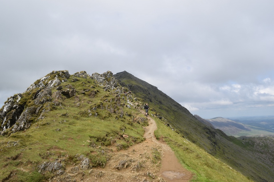 ChallengingRhyd Ddu Path12 km · 6 hr · At the trailheadA steep ridge climb to Yr Wyddfa, 12 km there and back
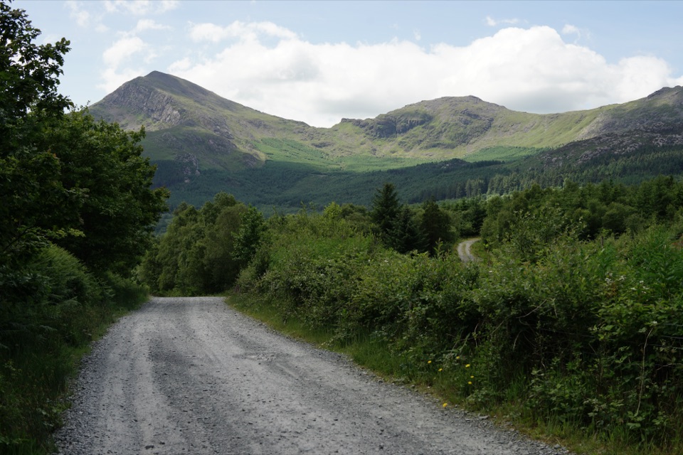 EasyLôn Gwyrfai7.2 km · 3 hr · 0.3 km awayEasy valley path linking Rhyd Ddu and Beddgelert with Yr Wyddfa views
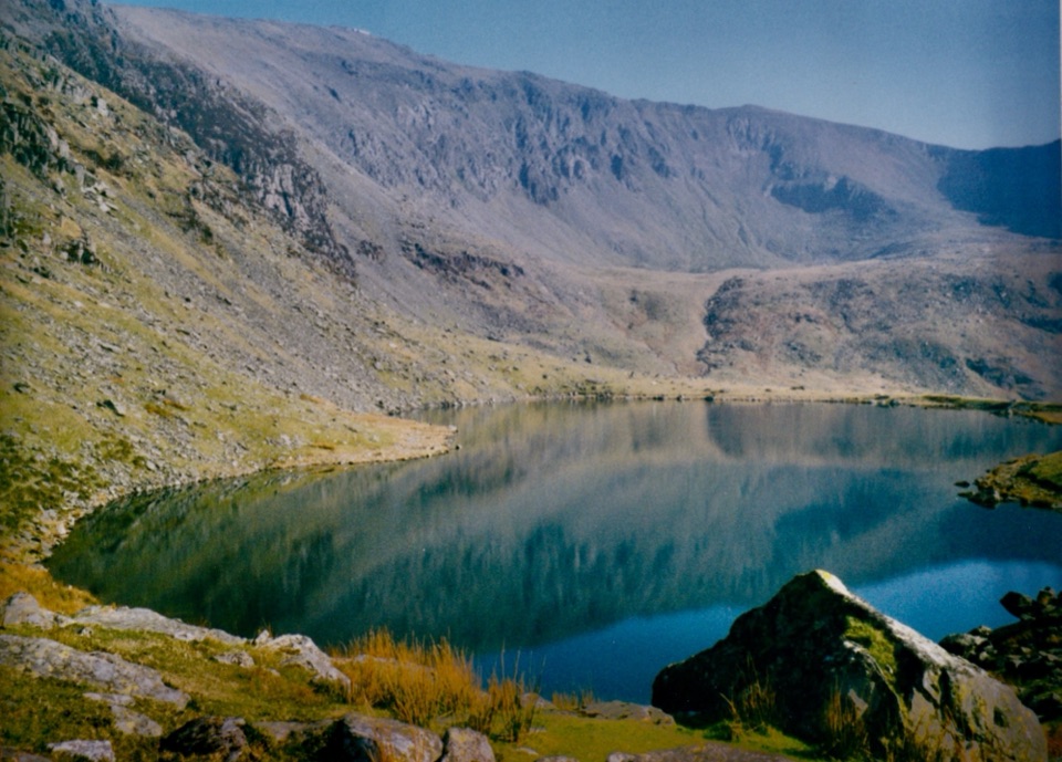 ChallengingSnowdon Ranger13 km · 6 hr · 2.3 km awayA quieter western climb to Yr Wyddfa, gentle at first then relentless
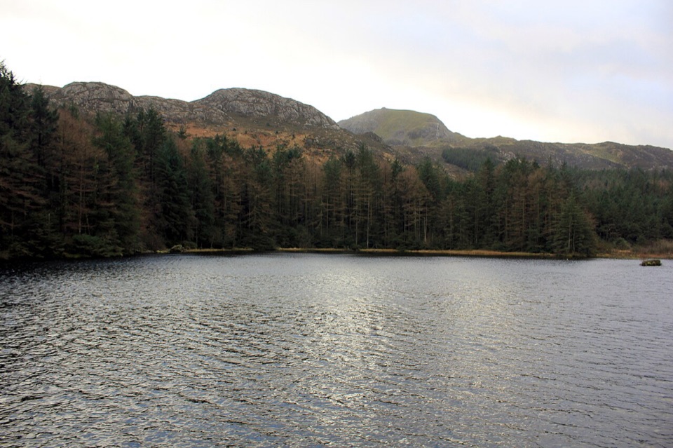 ModerateLlyn Llywelyn Walk4.3 km · 2.5 hr · 2.5 km awayForest roads climb to a hidden reservoir with Yr Wyddfa views
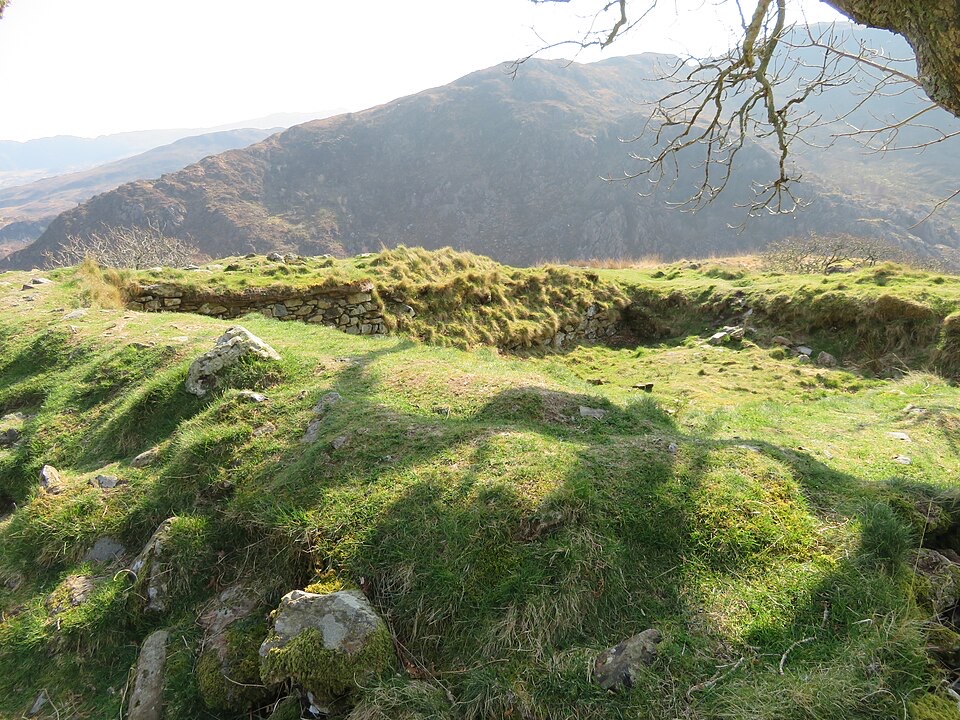 ModerateThe Legendary Trail of Dinas Emrys3.5 km · 2 hr · 4.9 km awayWoodland climb to a hillfort summit above Llyn Dinas and Nant Gwynant
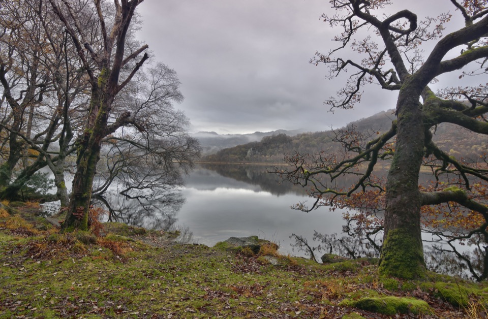 ModerateCraflwyn, Hafod y Llan and Llyn Dinas Walk10.5 km · 3.5 hr · 4.9 km awayOak woods, waterfalls and open heath on a loop to Llyn Dinas
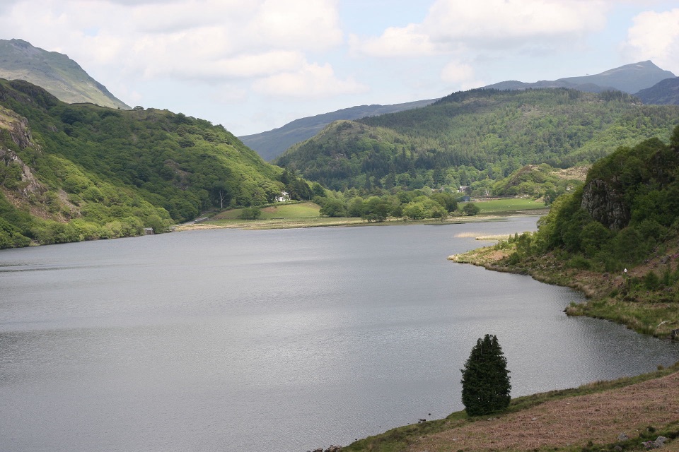 ChallengingFisherman’s Path and Cwm Bychan10 km · 5 hr · 5 km awayA strenuous gorge and copper-mine loop from Beddgelert village
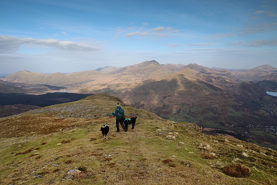 ChallengingMoel Hebog Circular10.6 km · 5 hr · 5.1 km awaySteep scree, three summits, then a forest descent back to Beddgelert
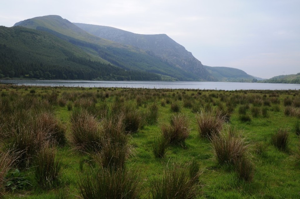 Sight · 2.3 km awayLlyn CwellynA quiet mountain lake with a rare accessible boardwalk
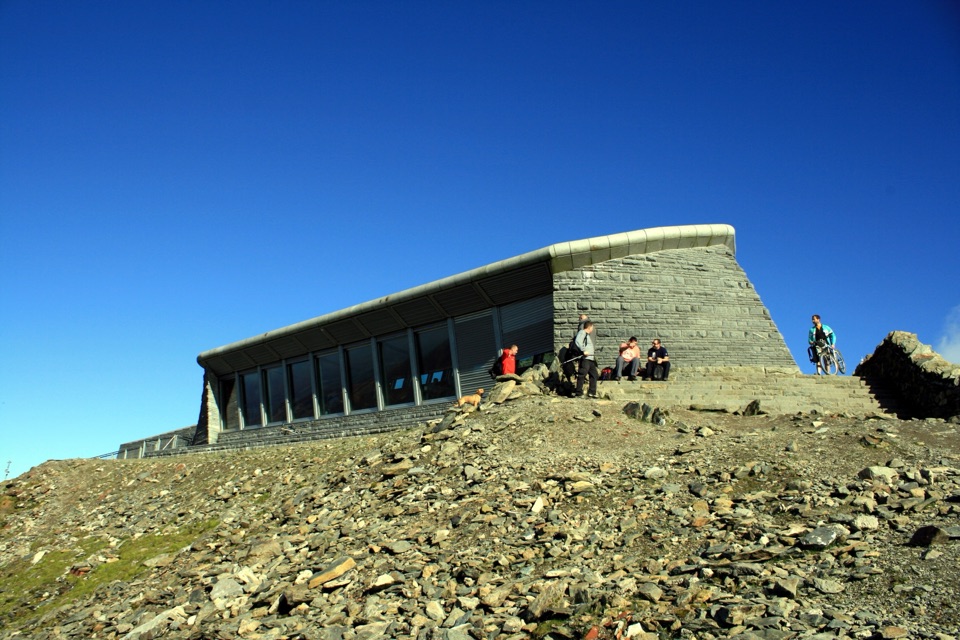 Visitor center · 4.3 km awayHafod Eryri Summit Visitor CentreA summit building with panoramic views and a hard-earned café stop
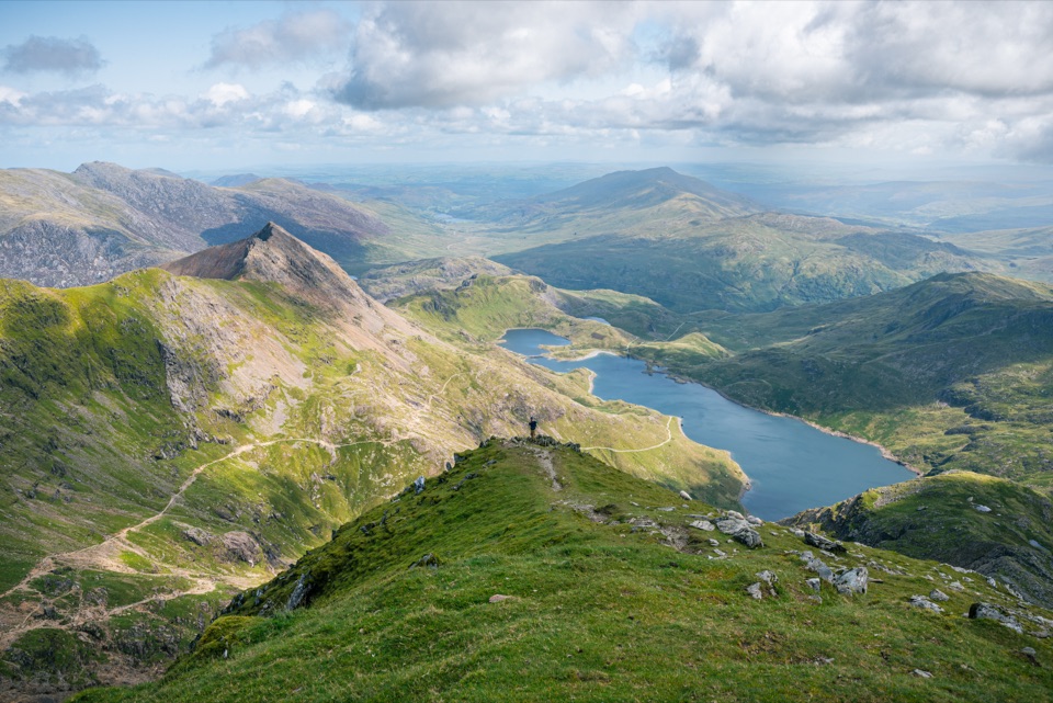 Sight · 4.4 km awayYr Wyddfa (Snowdon)Wales’ highest summit, with huge views when the clouds cooperate
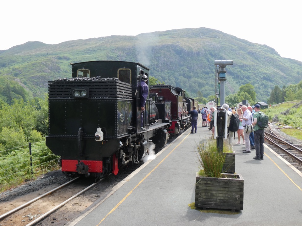 Sight · 5 km awayWelsh Highland RailwaySteam, mountain scenery, and a historic ride through Eryri
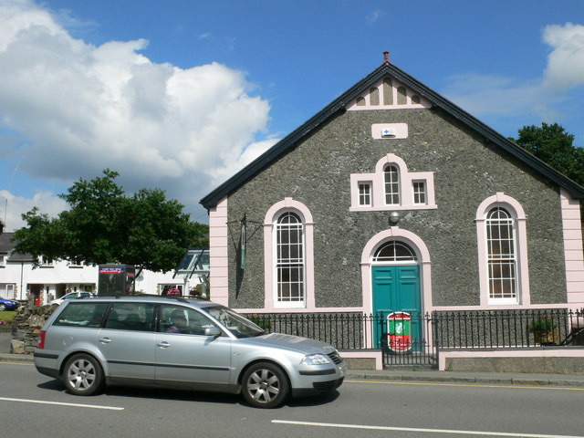 Visitor center · 5.1 km awayBeddgelert Information CentreA practical base for maps, mountain days, and Beddgelert know-how
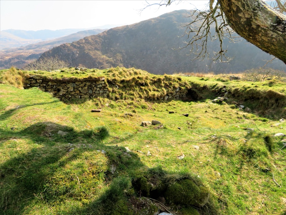 Sight · 5.1 km awayDinas EmrysA dragon legend, hillfort ruins, and a big Nant Gwynant view
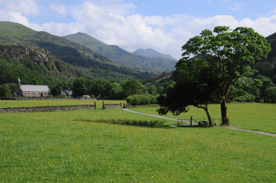 Sight · 5.1 km awayBeddgelertSlate-roofed village where two rivers meet beneath rugged peaks
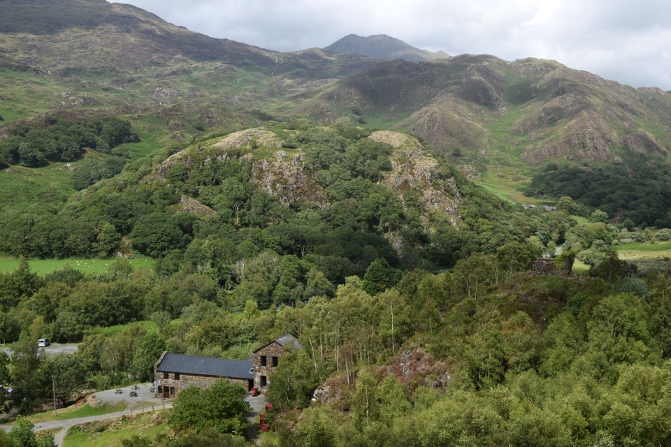 Sight · 5.3 km awaySygun Copper MineVictorian mine tunnels climb to a surprise mountain panorama
Parkwolf’s Eryri ranking

The audio tour guide for the drive, plus offline maps, trails, and wildlife heatmaps for when the signal drops.




