Parking
Use designated parking opposite the church at Llanfihangel y Pennant (SH 672 089). Never block field or residential entrances.
Eryri National Park, WA
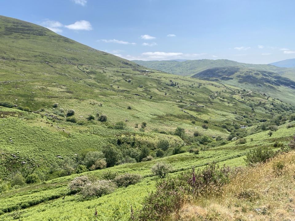
Quiet valley farms and a hard 16 km climb to Cader Idris
Overview
Map & elevation
Plan your hike

The highest, rockiest slopes around here are a summer buffet for grizzly bears.
Eryri Tour Guide
Parkwolf is a GPS audio tour guide for Eryri National Park. As you drive, it chimes in with what’s ahead: hidden gems, upcoming stops, history, geology, and wildlife, right through your car’s speakers.
Recorded for this area
The Quarry Beneath the Hill“Around Nant Gwernol, Bryneglwys quarry is easy to underestimate. The railway company says you can barely see it from the valley road, yet at its peak around three hundred people worked there.”
Plays on the road 1.6 km from the trailhead in the Parkwolf Eryri Tour Guide.
More stories near here in the app
“Fantastic app with many points of information… It’s great to just turn on while you’re driving and it gives you an audio tour of the national Park. We love it!!!!”


Trail guide
A there-and-back mountain walk from Llanfihangel y Pennant to Pen y Gader, the summit of Cader Idris, returning by exactly the same way. The official figures are 16 km / 10 miles total for the return trip, around 7 hours of walking, and 867 m / 2,844 ft of ascent. The verified physical corridor is stored once at 8.55 km one way, while the app uses the official 16 km total return distance.
Start at the designated car park opposite St Michael's Church (SH 672 089) and follow the narrow valley road past Tŷ'n y Fach. Cross the bridge over Afon Cader by the Mary Jones cottage, then continue onto rougher path near Gwastadfryn. The way climbs under Mynydd Pencoed, crosses a second stone footbridge, and works over rocky ground to a stile and wall. A standing stone and track lead to Hafoty Gwastadfryn. Beyond it the gradient steepens to a ridge junction, where the Pony Path joins for the final section. Steep, rocky, often loose zigzags lead past Bwlch Cyfrwy, a circular stone-shelter ruin and pillow-lava outcrops, with a short rocky scramble before the maintained summit shelter. Return the same way.
This is a hard, strenuous route for experienced country walkers with good fitness. Surfaces move from narrow tarmac road to public footpath, farm and mountain tracks, then steep rough country. Expect gates and stiles, stream crossings, some scrambling, and rough, rocky and loose ground high on the mountain where a slip has consequences. Full hill-walking gear is appropriate, including boots with grip, waterproofs and warm layers. Under winter conditions, specialist equipment and the skills to use it may be needed.
Navigation is essential rather than optional. Map and compass skills matter above the farm, where the open ground offers few clear reference points. The route is officially labelled not popular, so it is quieter than the better known approaches, and the Pony Path joins only for the upper section.
This is a long mountain route, so allow for the full official time of around 7 hours plus stops. Seasonal daylight and ground conditions can both affect how the day works out, so check conditions before setting off and be ready to turn back. Early morning and late afternoon light suit the valley farms, the Afon Cader crossings and the crags around Bwlch Cyfrwy and the Mynydd Pencoed face, so build flexibility into any photographic plan.
The walk links working farms, streams and open mountain scenery, with the story of Mary Jones attached to the cottage near the start. The geology is Ordovician sedimentary and igneous rock, including pillow lava visible in outcrops near the top. Arctic-alpine plants such as purple saxifrage and dwarf willow grow on the higher ground. Wildlife sightings cannot be promised, so treat any as a bonus. Cader Idris also carries long-standing mythology.
Use the designated parking opposite the church and never block field or residential entrances, as this is a narrow working valley. Dogs are allowed on public footpaths and open-access land under close control; use a short lead near livestock and wildlife, and on open-access land a lead no longer than 2 m is required from 1 March to 31 July. Hazards include steep drops near the summit crags, loose rock on the zigzags, exposed ridge weather, farm gates and stock, uneven stiles, stream crossings, and the length of the return leg once you are already tired.
Wildlife
 77 sightingsGrey HeronMost seen around 7 AMSighting map
 17 sightingsTawny OwlMost seen around 6 AMSighting map
 32 sightingsCommon RavenMost seen around 8 AMSighting map
 21 sightingsGreat Spotted WoodpeckerMost seen around 7 AMSighting map
 18 sightingsEuropean RabbitMost seen around 7 AMSighting map
 161 sightingsViviparous LizardMost seen around 10 AMSighting map
Sighting maps show where each species has been reported across Eryri. Wildlife moves, so no sighting is guaranteed.
Keep exploring
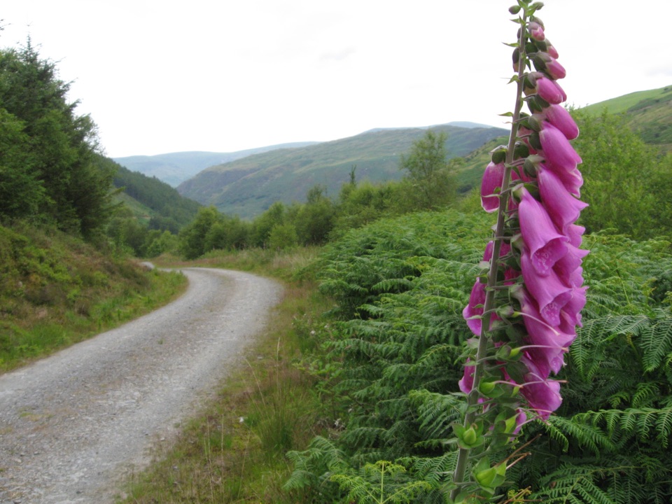 ChallengingQuarryman's Trail5.1 km · 2.8 hr · 2.4 km awayWaterfall gorge, tramways and slate ruins on a strenuous 5.1 km loop
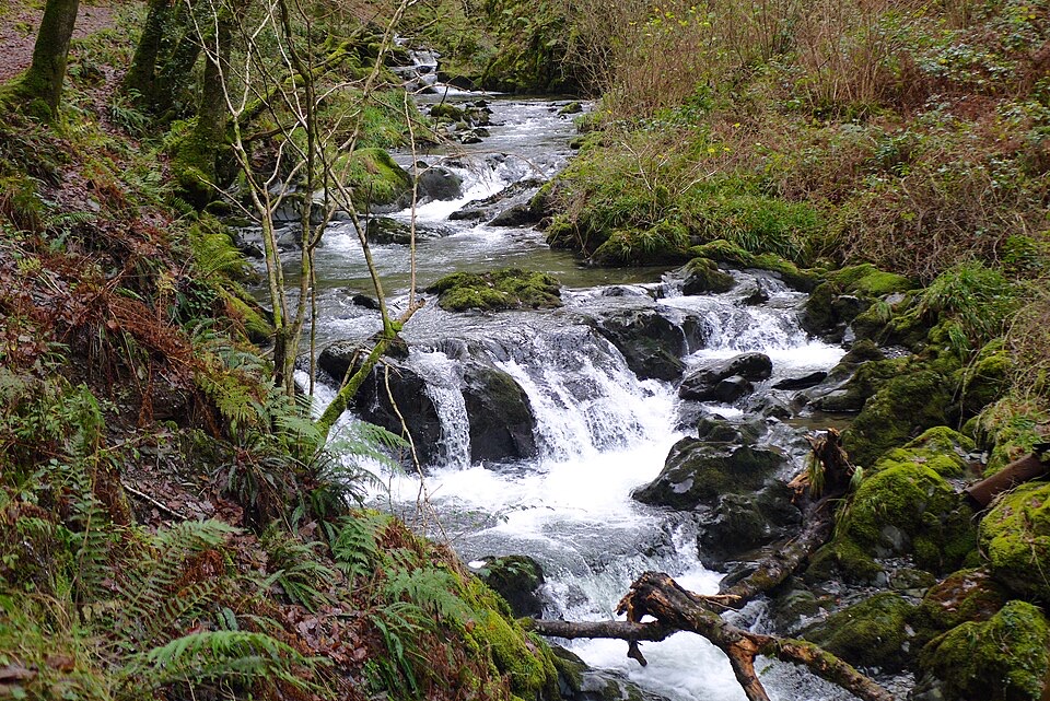 ModerateCascades Trail1.8 km · 1 hr · 2.5 km awayShort steep loop beside a cascading river gorge and slate tramway
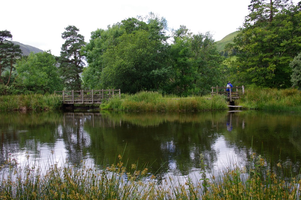 EasyParkland Circuit (Dôl Idris)0.9 km · 30 min · 6.5 km awayA gentle parkland loop around Llyn Dôl Idris
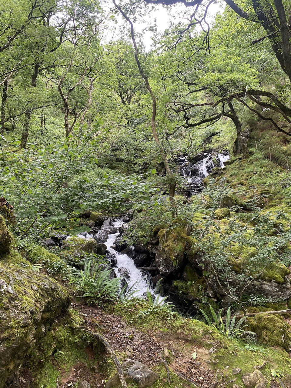 ModerateGorge Climb0.3 km · 23 min · 6.6 km awaySteep stone steps climb a mossy gorge to a waterfall viewpoint bench
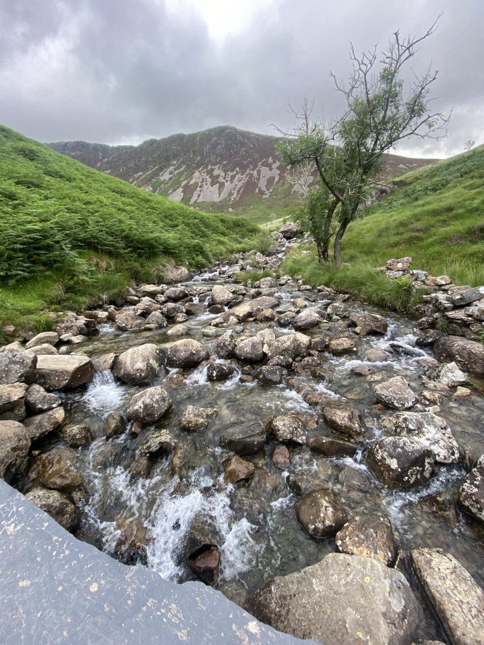 ChallengingNant Cadair Bridge2.1 km · 1.3 hr · 6.6 km awaySteep stepped climb through a waterfall gorge to a slate mountain bridge
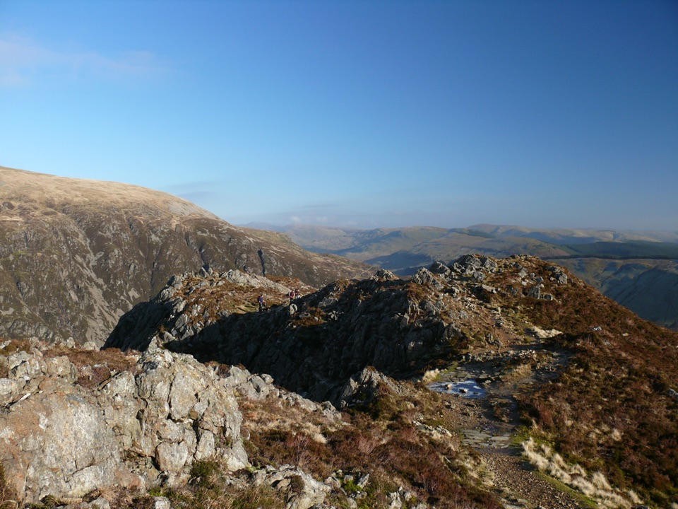 ChallengingMinffordd Path9 km · 5.5 hr · 6.6 km awayWaterfalls, Llyn Cau's cwm, and a scrambly cliff-edge push to PenygadairEasyDôl Idris Lake0.6 km · 24 min · 6.6 km awayStep-free lake circuit with fish ladder, footbridge and lakeside birdlife
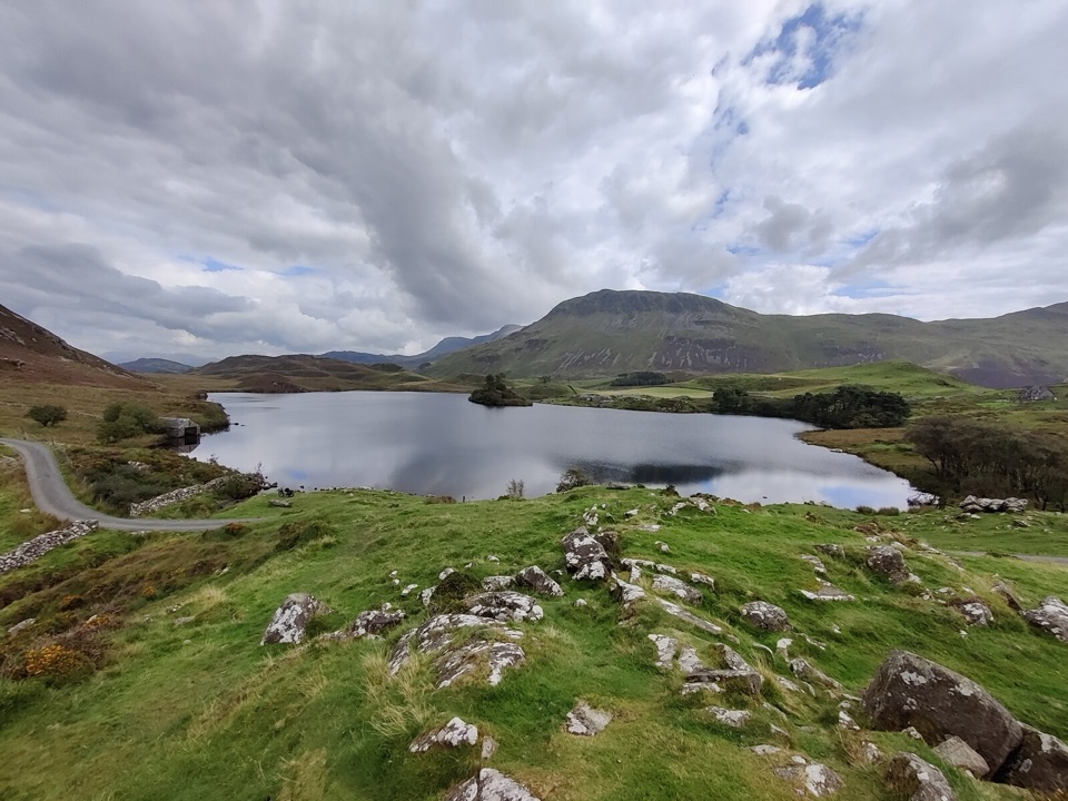 ModerateRhaeadrau Arthog and Llynnau Cregennan13.7 km · 4 hr · 6.7 km awayWaterfall, hilltop lakes, ancient woods and estuary on one 13.7 km loop
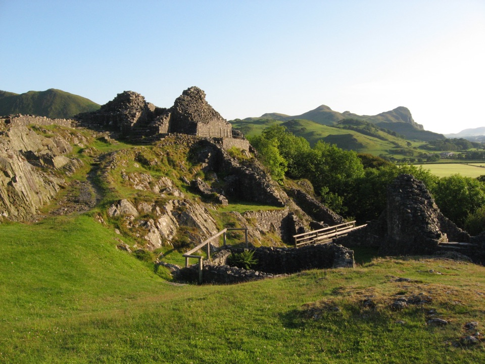 Sight · 0.5 km awayCastell y BereRuined Welsh stronghold on a rocky crag above the Dysynni
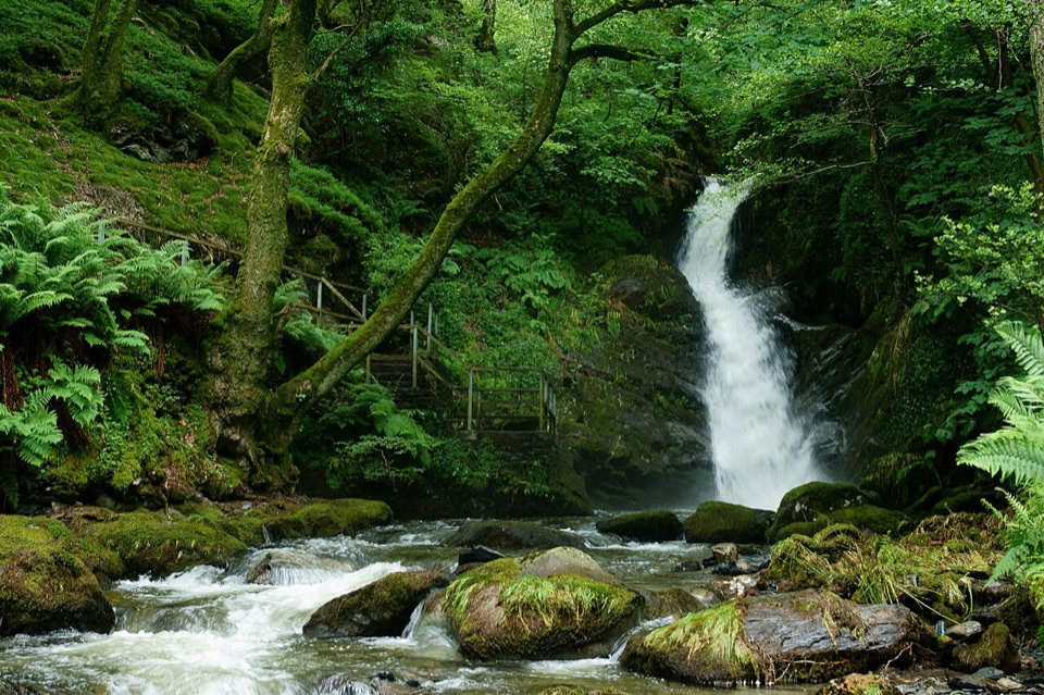 Sight · 5 km awayDolgoch FallsThree forest waterfalls linked by a steep, atmospheric ravine walk
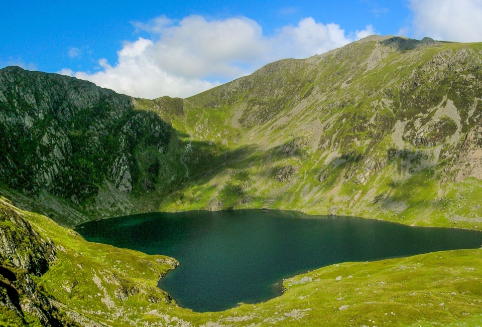 Sight · 5.6 km awayLlyn CauA glacial lake tucked beneath Cadair Idris's steep crater rim
 Sight · 5.7 km awayCader IdrisA high rocky summit above the dark bowl of Llyn Cau
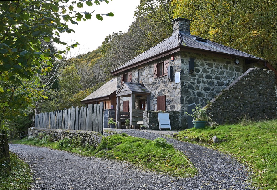 Visitor center · 6.3 km awayCader Idris Visitor CentreA stone mountain base with wildlife exhibits and gentle woodland paths
 Sight · 10.5 km awayTŷ SiamasA Welsh folk-music centre in a handsome former market hall
 Sight · 10.5 km awayDolgellauGrey dolerite townscape and tangled lanes beneath Cader Idris
 Sight · 11.7 km awayCymer AbbeyThree medieval arches frame the Mawddach valley
Parkwolf’s Eryri ranking

The audio tour guide for the drive, plus offline maps, trails, and wildlife heatmaps for when the signal drops.




