Parking
Park at Abergynolwyn Village Hall car park and take the short, steep link route to Nant Gwernol Station. Abergynolwyn Station car park is another access option; there is no parking at Nant Gwernol Station.
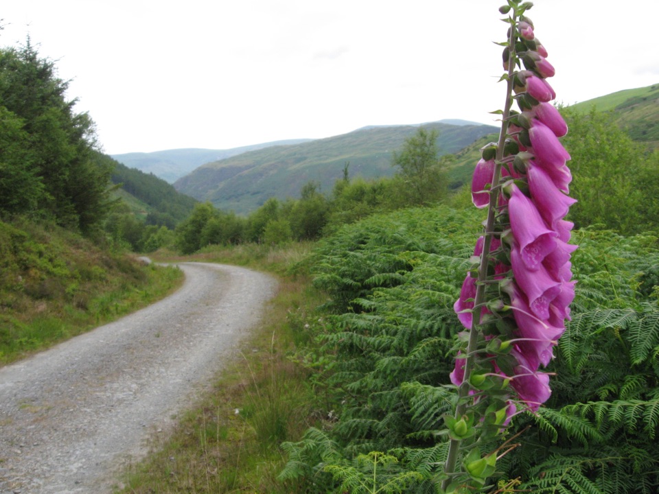
Eryri National Park, WA
Waterfall gorge, tramways and slate ruins on a strenuous 5.1 km loop
Overview
Map & elevation
Plan your hike

The highest, rockiest slopes around here are a summer buffet for grizzly bears.
Eryri Tour Guide
Parkwolf is a GPS audio tour guide for Eryri National Park. As you drive, it chimes in with what’s ahead: hidden gems, upcoming stops, history, geology, and wildlife, right through your car’s speakers.
Recorded for this area
How Slate Hauled Slate“Above Abergynolwyn, Bryneglwys quarry used the weight of slate to move more slate. On its steep inclines, ropes ran from two wagons around a drum at the top.”
Plays on the road 0.4 km from the trailhead in the Parkwolf Eryri Tour Guide.
More stories near here in the app
“Fantastic app with many points of information… It’s great to just turn on while you’re driving and it gives you an audio tour of the national Park. We love it!!!!”


Trail guide
A waymarked 3.2 mile / 5.1 km loop through Coed Nant Gwernol, starting and finishing at Nant Gwernol Station. Allow 2.5 to 3 hours for around 981 ft / 299 m of climb. The official leaflet map also shows an optional longer alternative route if you want to extend the day.
The payoff builds: enclosed woodland and water first, then height and views, then the industrial landscape that shaped the village, before the descent back toward the station.
Officially graded strenuous. Expect long, sustained climbs and steep descents, with rough and rocky ground in places. Boots with good grip and a steady pace on the downhill sections make the biggest difference.
Stay on the paths. The old quarry works are dangerous, and you must not enter mine workings or buildings. Keep children close where the route passes ruins and drops.
Dogs are welcome on public footpaths and open-access land under Eryri rules. Keep them under close control, use a short lead near livestock and wildlife, and on open-access land a lead of no more than 2 m is required from 1 March to 31 July.
The Cascades Trail leaves from the same site and is a much lighter outing: 1.1 miles / 1.7 km, about 1 hour, moderate, with 115 m of climb. If you want the waterfalls without the sustained ascent, choose that one. The Quarryman's Trail is roughly three times the distance with more than double the climb, and it is the only one of the two that reaches the quarry remains and the high viewpoints.
Wildlife
 77 sightingsGrey HeronMost seen around 7 AMSighting map
 17 sightingsTawny OwlMost seen around 6 AMSighting map
 32 sightingsCommon RavenMost seen around 8 AMSighting map
 21 sightingsGreat Spotted WoodpeckerMost seen around 7 AMSighting map
 18 sightingsEuropean RabbitMost seen around 7 AMSighting map
 161 sightingsViviparous LizardMost seen around 10 AMSighting map
Sighting maps show where each species has been reported across Eryri. Wildlife moves, so no sighting is guaranteed.
Keep exploring
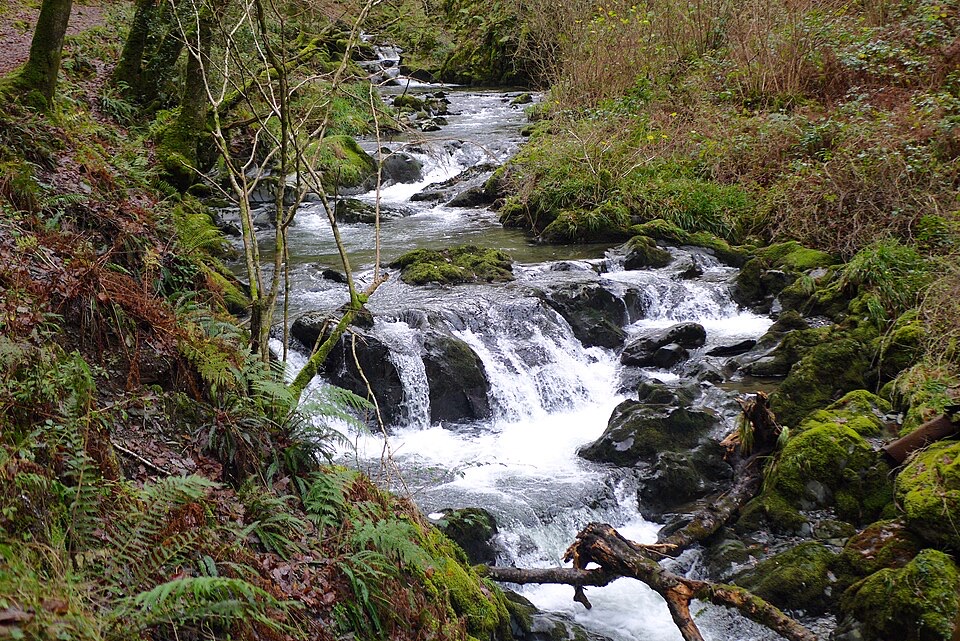 ModerateCascades Trail1.8 km · 1 hr · 0.2 km awayShort steep loop beside a cascading river gorge and slate tramway
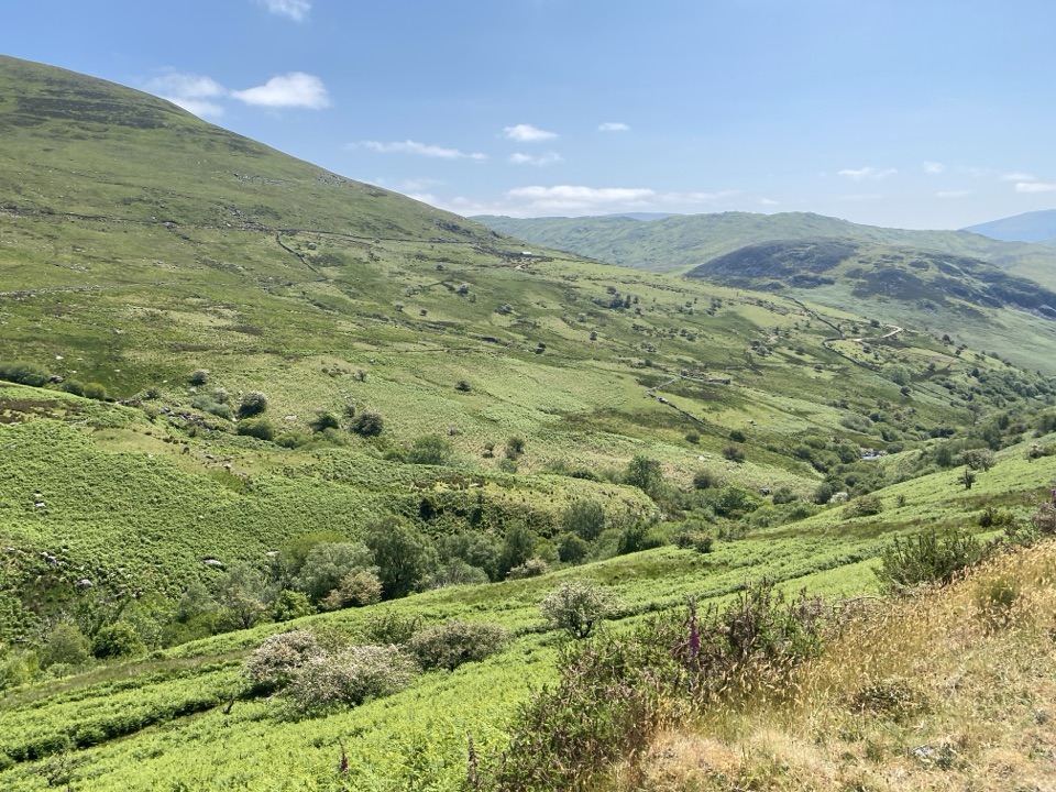 ChallengingLlanfihangel y Pennant Path, Cader Idris16.1 km · 7 hr · 2.4 km awayQuiet valley farms and a hard 16 km climb to Cader Idris
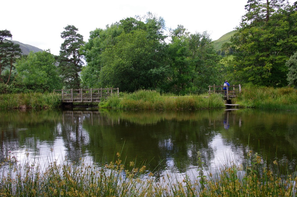 EasyParkland Circuit (Dôl Idris)0.9 km · 30 min · 7 km awayA gentle parkland loop around Llyn Dôl Idris
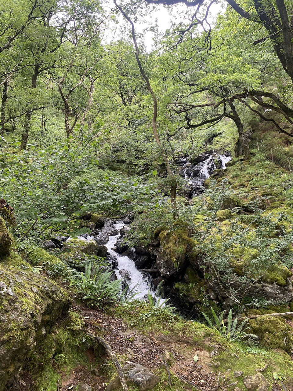 ModerateGorge Climb0.3 km · 23 min · 7 km awaySteep stone steps climb a mossy gorge to a waterfall viewpoint bench
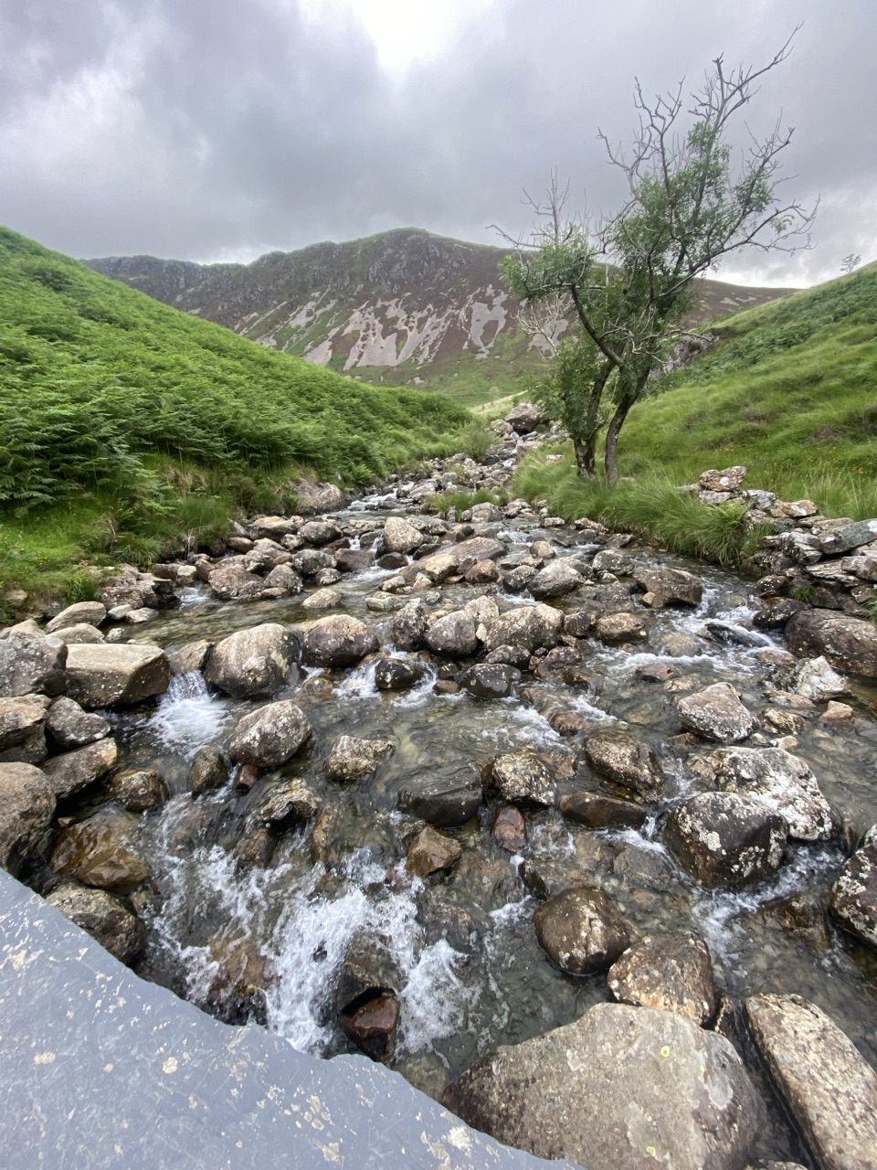 ChallengingNant Cadair Bridge2.1 km · 1.3 hr · 7 km awaySteep stepped climb through a waterfall gorge to a slate mountain bridge
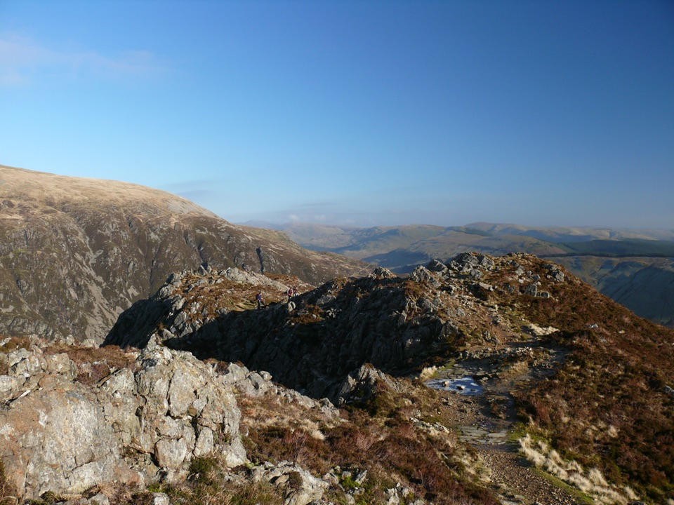 ChallengingMinffordd Path9 km · 5.5 hr · 7 km awayWaterfalls, Llyn Cau's cwm, and a scrambly cliff-edge push to PenygadairEasyDôl Idris Lake0.6 km · 24 min · 7.1 km awayStep-free lake circuit with fish ladder, footbridge and lakeside birdlife
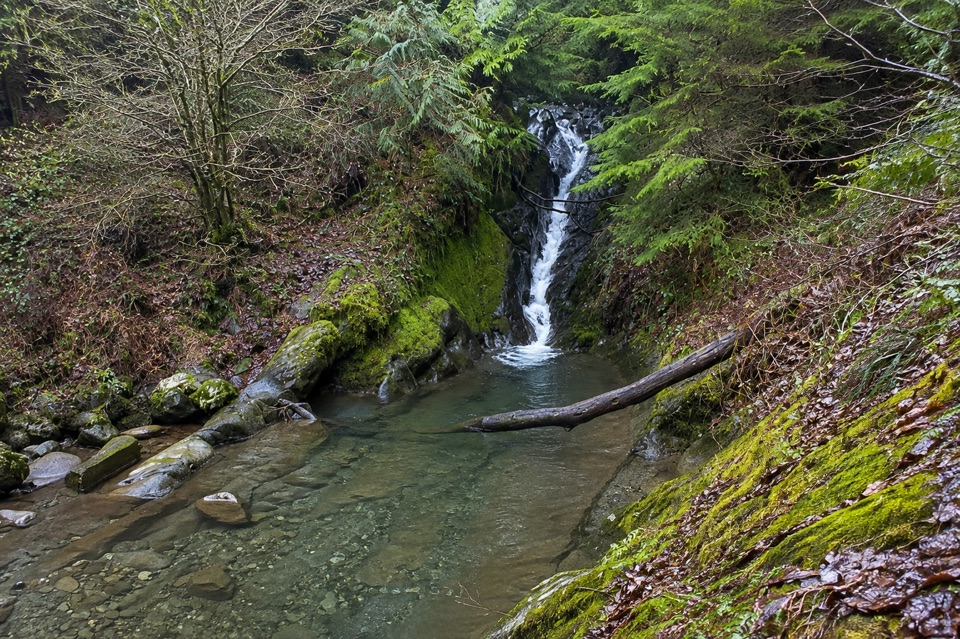 ModerateTan y Coed Animal Discovery Trail1.8 km · 1 hr · 7.5 km awayShort waymarked woodland loop to a waterfall, with animal clues for kids
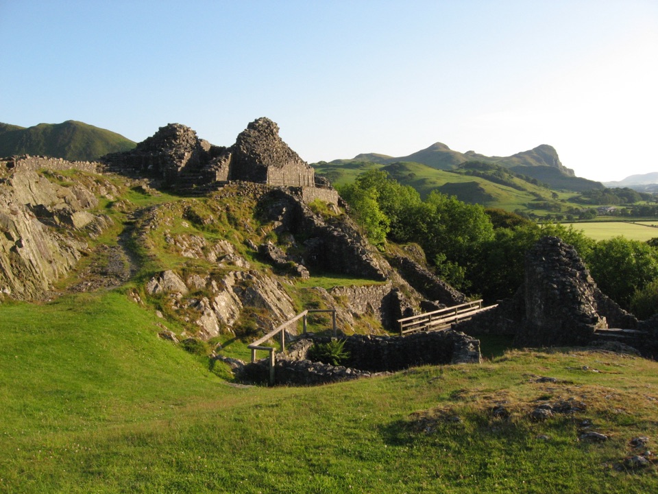 Sight · 2.3 km awayCastell y BereRuined Welsh stronghold on a rocky crag above the Dysynni
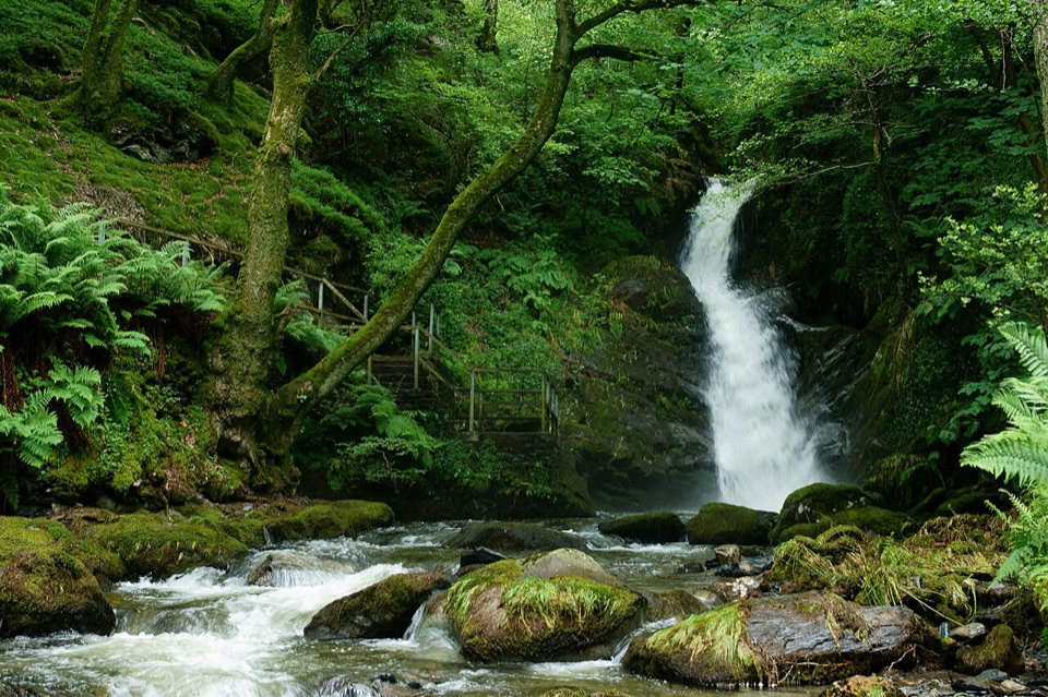 Sight · 3.8 km awayDolgoch FallsThree forest waterfalls linked by a steep, atmospheric ravine walk
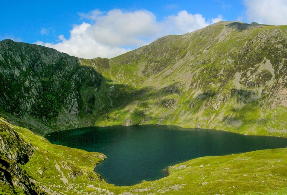 Sight · 6.6 km awayLlyn CauA glacial lake tucked beneath Cadair Idris's steep crater rim
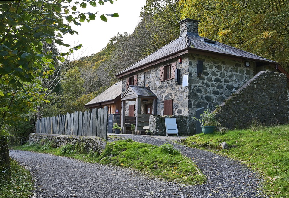 Visitor center · 6.9 km awayCader Idris Visitor CentreA stone mountain base with wildlife exhibits and gentle woodland paths
 Sight · 7 km awayCader IdrisA high rocky summit above the dark bowl of Llyn Cau
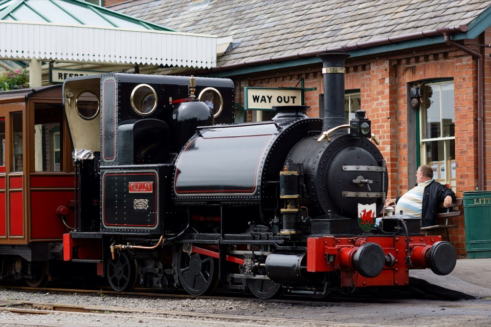 Sight · 11.3 km awayTalyllyn RailwayA lovingly preserved steam ride through the Fathew Valley
 Sight · 12 km awayTŷ SiamasA Welsh folk-music centre in a handsome former market hall
 Sight · 12 km awayDolgellauGrey dolerite townscape and tangled lanes beneath Cader Idris
Parkwolf’s Eryri ranking

The audio tour guide for the drive, plus offline maps, trails, and wildlife heatmaps for when the signal drops.




