Parking
Cwm Idwal Visitor Centre beside the Eryri National Park Ogwen Centre car park on the A5 at Nant Ffrancon; the visitor centre is adjacent to the parking bays.

#5 of 120 trails in Eryri
Eryri National Park, WA
Glacier-carved bowl, stone lakeside path and the Devil's Kitchen headwall
Overview
Map & elevation
Plan your hike

The highest, rockiest slopes around here are a summer buffet for grizzly bears.
Eryri Tour Guide
Parkwolf is a GPS audio tour guide for Eryri National Park. As you drive, it chimes in with what’s ahead: hidden gems, upcoming stops, history, geology, and wildlife, right through your car’s speakers.
Recorded for this trailhead
Cwm Idwal and Ogwen“You're approaching the Ogwen start for Cwm Idwal, where a path climbs into an ice-carved bowl around Llyn Idwal. The full three-mile lake circuit takes around three hours.”
Plays as you drive up to this trailhead in the Parkwolf Eryri Tour Guide.
More stories near here in the app
“Fantastic app with many points of information… It’s great to just turn on while you’re driving and it gives you an audio tour of the national Park. We love it!!!!”


Trail guide
From the visitor centre you take steps and a gate, cross the oak bridge, then follow a south-easterly mountain path to a junction and pick up the formal stone-surfaced path to Llyn Idwal. Go clockwise along the eastern shore, past the Dwrn Idwal boulders and a gated wall, then over moraine and rougher ground with streams below the Idwal Slabs. The path runs up beneath the Twll Du / Devil's Kitchen headwall, drops through boulder field and heather, crosses a footbridge over Afon Clyd, then passes through the wall to the shingle beach on the north-west shore. Round the east side to the slate bridge over Afon Idwal and retrace the connector to the start.
The first stretch is easy going on made path, and that is the part most people picture. The far side of the lake is genuine mountain ground: uneven stone, stream-crossing steps, loose boulder and steep short climbs. Boots with grip and ankle support make the moraine and heather sections much easier. Keep to the path throughout, both to protect thin upland soils and because the ground either side is rougher than it looks.
This is an ice-carved bowl inside Cwm Idwal National Nature Reserve, ringed by cliffs and exposed rock. The glacial moraines underfoot were left roughly 10,000 years ago, and the Idwal Slabs above the south-east shore are a long-standing mountaineering training ground. The Devil's Kitchen headwall is the high point of the circuit visually as well as physically. The reserve holds rare and fragile upland plant life, which is another reason to stay on the line of the path.
A high-level variant toward the Idwal Slabs branches off the standard circuit. It is scrambly, serious ground suited to competent hill-walkers with the right kit and navigation skills, and it should not be treated as the normal way round the lake.
Wildlife
 77 sightingsGrey HeronMost seen around 7 AMSighting map
 17 sightingsTawny OwlMost seen around 6 AMSighting map
 32 sightingsCommon RavenMost seen around 8 AMSighting map
 21 sightingsGreat Spotted WoodpeckerMost seen around 7 AMSighting map
 18 sightingsEuropean RabbitMost seen around 7 AMSighting map
 161 sightingsViviparous LizardMost seen around 10 AMSighting map
Sighting maps show where each species has been reported across Eryri. Wildlife moves, so no sighting is guaranteed.
Keep exploring
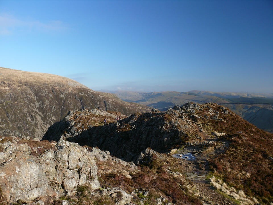
 ModerateLlyn Ogwen Circular Walk4.7 km · 1.5 hr · At the trailheadBoulder-hopping lakeshore loop under Tryfan, back on the roadside pavement
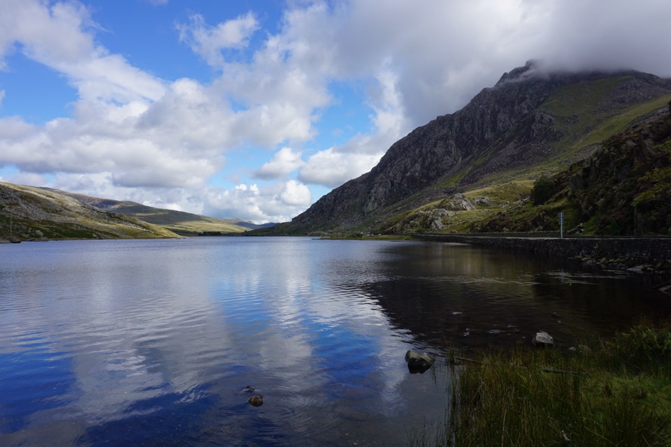
 ChallengingGlyder Fawr and Y Garn via Devil’s Kitchen8.9 km · 5 hr · At the trailheadGlacial lake, dark cliffs, two 900m summits on one hard rocky loop
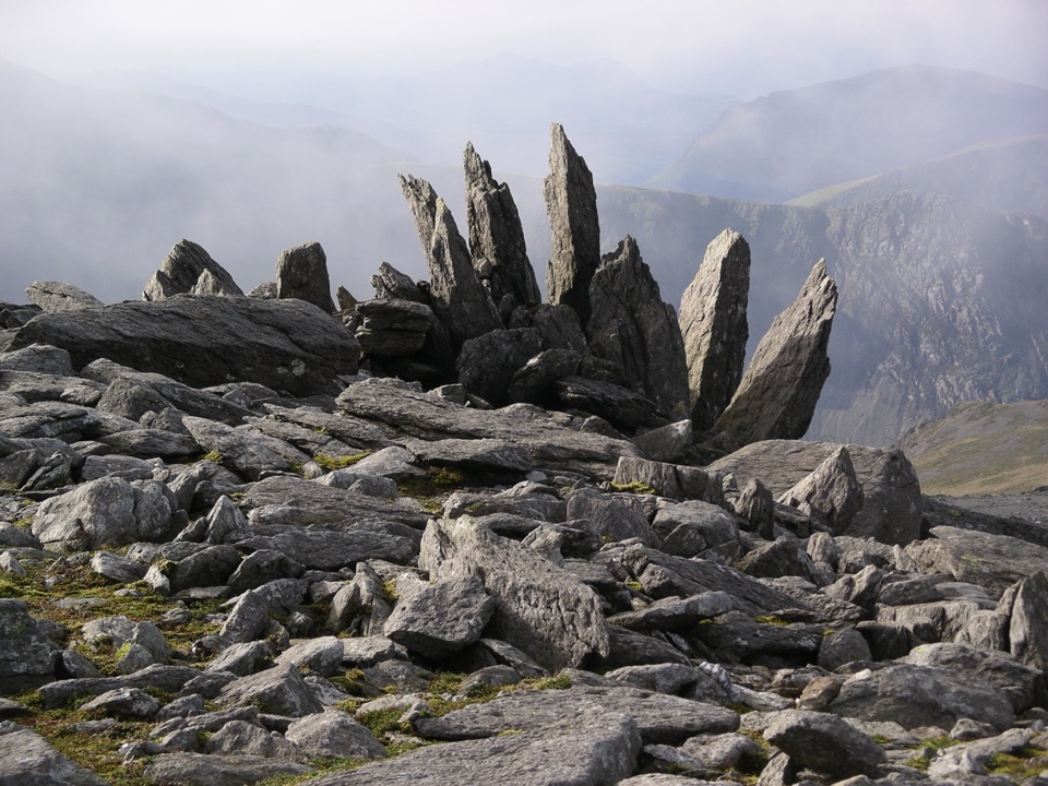
 ChallengingHigh Carneddau from Llyn Ogwen15 km · 6.5 hr · 1.7 km awayThree Carneddau summits, one long rocky ridge, straight up from the A5
 ChallengingYr Wyddfa Pyg Track and Miners’ Track Loop12.1 km · 6 hr · 4.7 km awayRocky climb to Wales's highest summit, down past lakes and mine ruinsChallengingPyg Track11 km · 6 hr · 4.7 km awayRugged rocky climb from Pen-y-Pass to Yr Wyddfa's summit and back
 ChallengingMiners’ Track12.9 km · 6 hr · 4.8 km awayGentle lakeside start, then a steep scree haul up to Yr Wyddfa
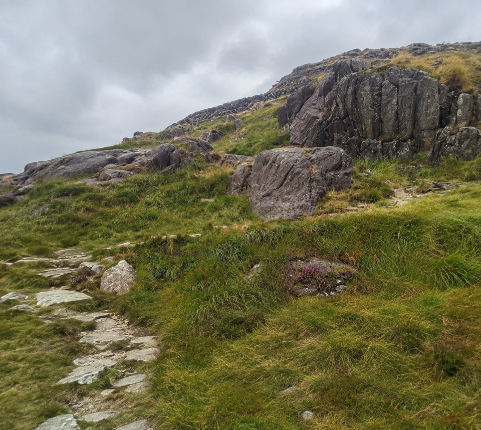 ChallengingPen y Gwryd to Pen y Pass2 km · 1 hr · 4.8 km awayA short, rough hill link that keeps you off the A4086 tarmac
 ChallengingLlanberis Path14.5 km · 7 hr · 6.9 km awayNine miles of steady, unrelenting ascent to the highest summit in Wales
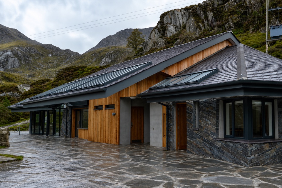 Visitor center · At the trailheadCwm Idwal CentreCoffee, showers and a doorway into a glacier-carved cwm
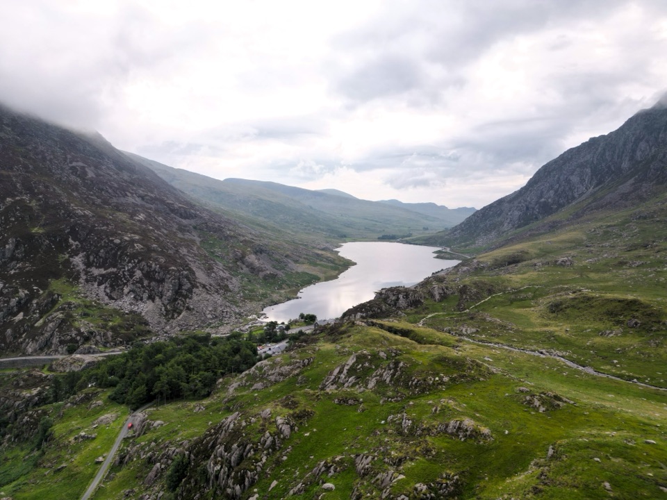 Sight · 0.8 km awayLlyn OgwenShallow ribbon lake mirroring the Glyderau, with Arthurian sword folklore
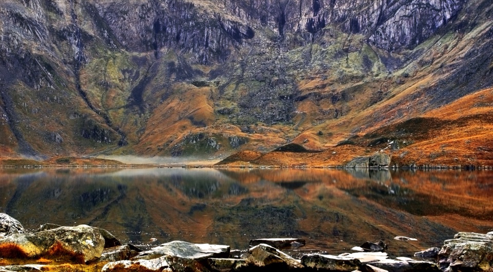 Sight · 1.2 km awayCwm IdwalA compact glacial amphitheatre wrapped around a mountain lake
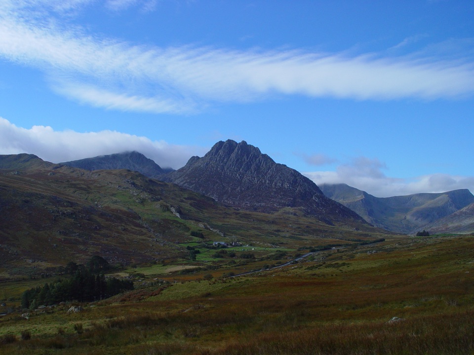 Sight · 1.7 km awayTryfanA jagged summit where every ascent becomes a hands-on scramble
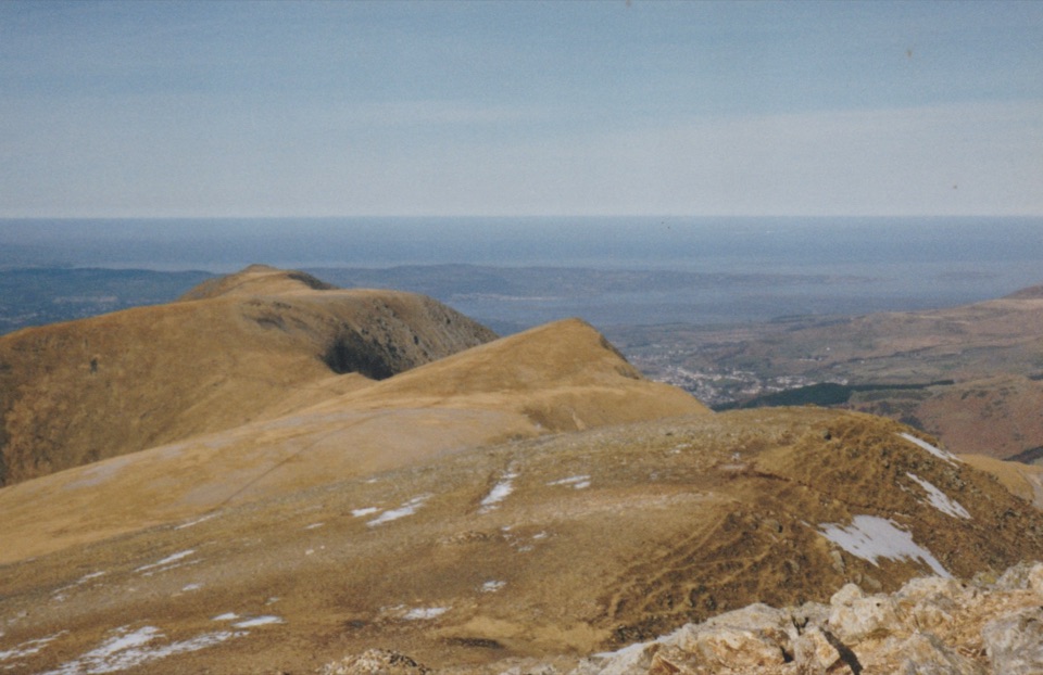 Sight · 2 km awayY Garn (Glyderau)A 947-metre summit with a front-row view of the Glyderau
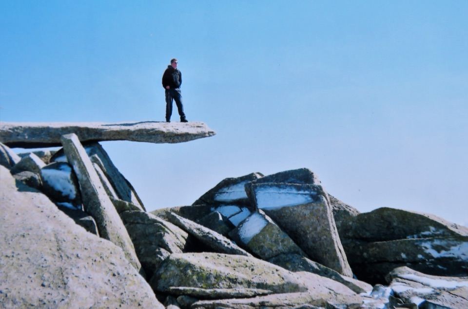 Sight · 2.2 km awayGlyder FachA jagged summit crowned by the famous Cantilever Stone
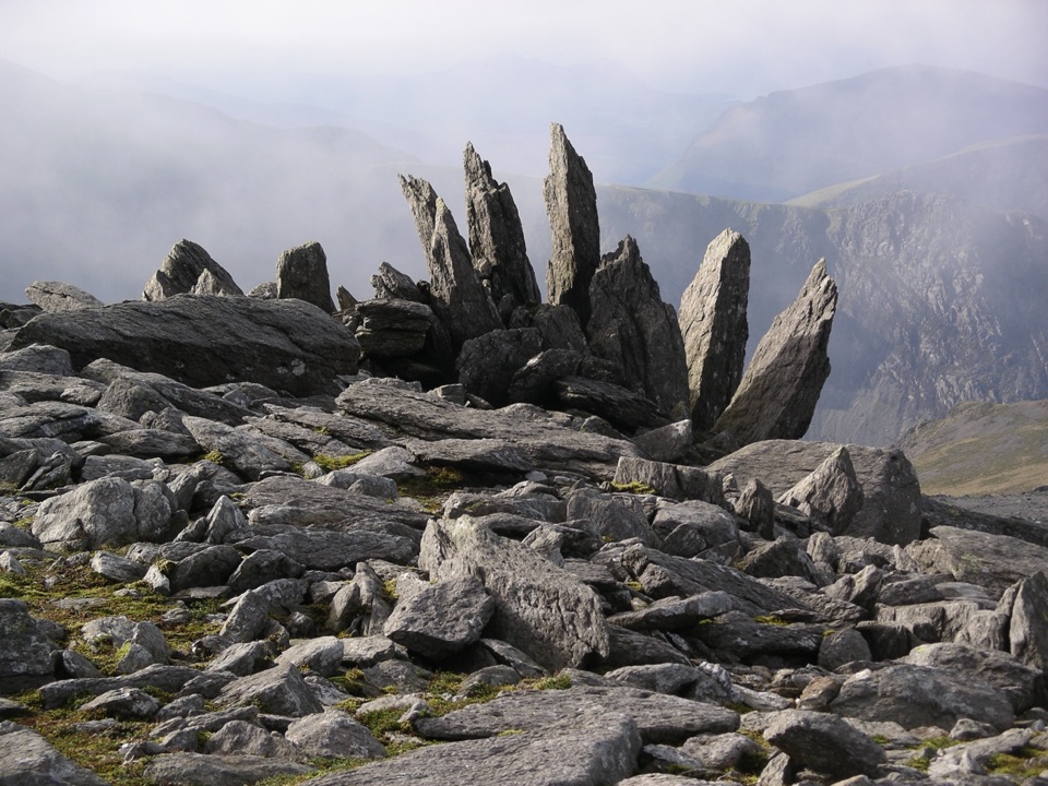 Sight · 2.5 km awayGlyder FawrA wild boulder plateau with wide views across Eryri
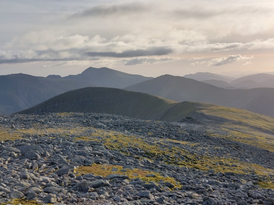 Sight · 3 km awayCarnedd DafyddA rugged 1,044m summit with wide Carneddau ridge views
Parkwolf’s Eryri ranking

The audio tour guide for the drive, plus offline maps, trails, and wildlife heatmaps for when the signal drops.