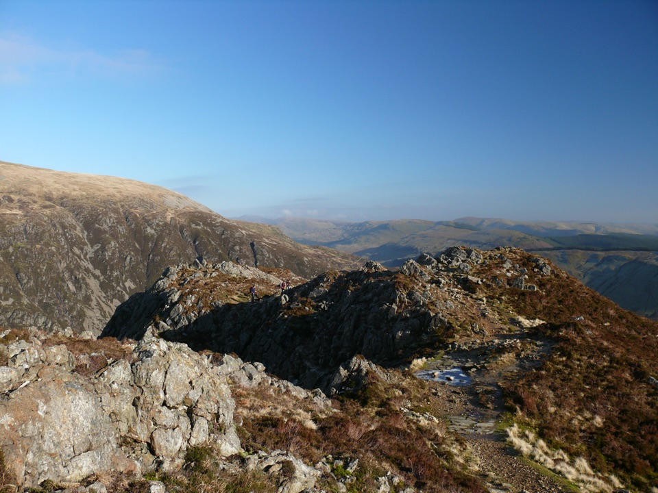
Parking
Use designated car parks in Llanberis; the route starts at the far end of Victoria Terrace. Do not park on side streets or in residential areas. Public transport is a practical alternative.

#2 of 120 trails in Eryri
Eryri National Park, WA
Nine miles of steady, unrelenting ascent to the highest summit in Wales
Overview
Map & elevation
Plan your hike

The highest, rockiest slopes around here are a summer buffet for grizzly bears.
Eryri Tour Guide
Parkwolf is a GPS audio tour guide for Eryri National Park. As you drive, it chimes in with what’s ahead: hidden gems, upcoming stops, history, geology, and wildlife, right through your car’s speakers.
Recorded for this trailhead
Llanberis and Llyn Padarn“You're approaching Llanberis, the village beside Llyn Padarn where a mountain day and a short lakeside visit can start from the same streets.”
Plays as you drive up to this trailhead in the Parkwolf Eryri Tour Guide.
More stories near here in the app
“Fantastic app with many points of information… It’s great to just turn on while you’re driving and it gives you an audio tour of the national Park. We love it!!!!”


Trail guide
This is a there-and-back climb to the summit of Yr Wyddfa, and the 14.5 km / about 9 miles is the full round trip, not one direction. Reckon on roughly 7 hours moving and resting, with about 975 m of ascent. You start at the far end of Victoria Terrace, by the mini roundabout opposite the Royal Victoria Hotel at the southern end of Llanberis, and you come back down the same way.
The marked route leaves the village edge along farm access and passes under the railway bridge before settling into a long, steady pull. The Halfway House marks the rough midpoint, then the path climbs above Llanberis alongside the mountain railway toward Clogwyn and Bwlch Glas. From Bwlch Glas the last section steepens for the final push to the summit, where the payoff is the high, open ground at the top of the massif.
The park authority classifies it Hard/Strenuous and says it suits experienced country walkers with good fitness and essential navigation skills. It is the longest of the six main summit paths and gives the most gradual climb of them, which is not the same as easy. Expect steep sections, rough ground, and the possibility of some scrambling, and carry full hill-walking gear rather than trainers and a hoodie.
Footing is mostly a broad, worn mountain path that turns rockier and rougher higher up. Two places deserve extra care: the ground near Cwm Glas Bach and the section around Carnedd Ugain. Keep to the path throughout and never walk along the railway tracks, even where the line runs close alongside you. Conditions and daylight change a lot through the year, so plan your turnaround time and layers around the season you are walking in.
The official start is the far end of Victoria Terrace, and designated car parks in Llanberis serve the route. Do not park on side streets or in residential areas. Of the main summit starts, Llanberis has the best public transport links, including Sherpa'r Wyddfa services from Betws-y-Coed, Bangor, and Caernarfon, which also solves the problem of returning to a car after a long day.
Dogs are allowed under close control on the public rights of way. A short lead is best anywhere near livestock or wildlife, and on Open Access Land dogs must be on a lead of no more than 2 m from 1 March to 31 July, while livestock and ground-nesting birds are breeding.
This is the most popular of the main approaches to the summit, largely because of the gradient and the transport links. If you would rather trade distance for a sharper, rockier climb, the Miners' Track and the Pyg Track are shorter routes starting from Pen-y-Pass, with steeper ascents and a different feel. They are separate paths, not variations on this one.
Wildlife
 77 sightingsGrey HeronMost seen around 7 AMSighting map
 17 sightingsTawny OwlMost seen around 6 AMSighting map
 32 sightingsCommon RavenMost seen around 8 AMSighting map
 21 sightingsGreat Spotted WoodpeckerMost seen around 7 AMSighting map
 18 sightingsEuropean RabbitMost seen around 7 AMSighting map
 161 sightingsViviparous LizardMost seen around 10 AMSighting map
Sighting maps show where each species has been reported across Eryri. Wildlife moves, so no sighting is guaranteed.
Keep exploring
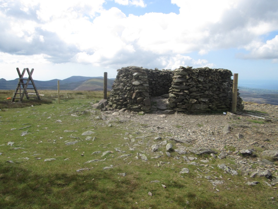 ChallengingMoel Eilio Circular from Llanberis12 km · 4.5 hr · 0.8 km awayA steep start, then a three-summit ridge high above Cwm Dwythwch
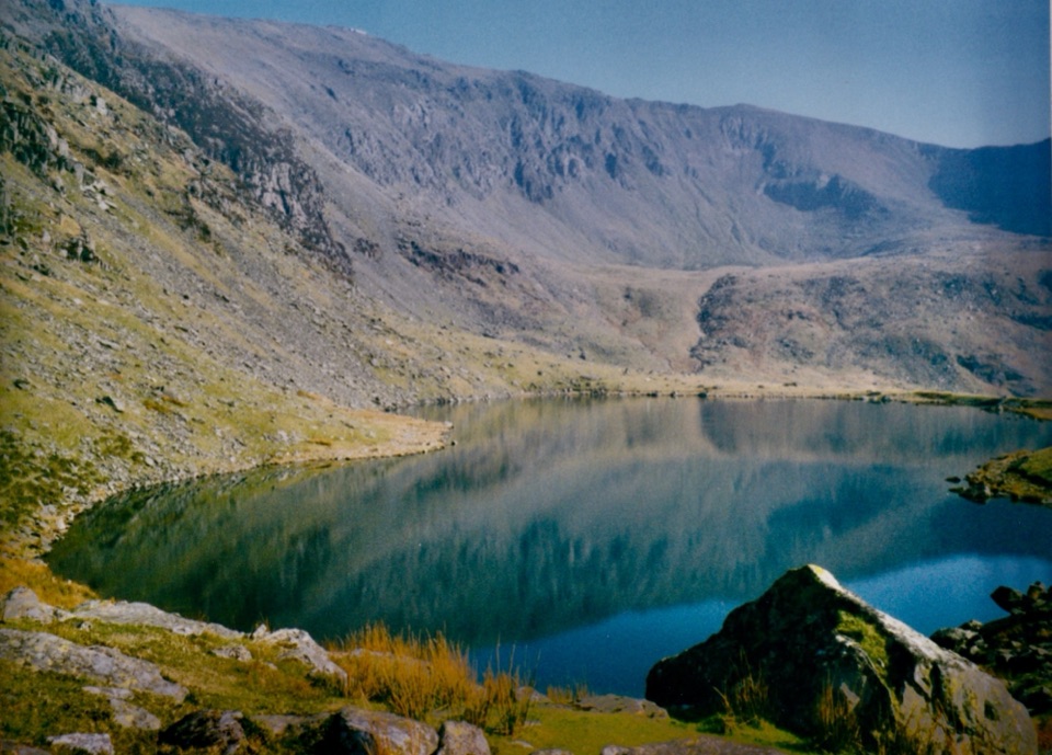 ChallengingSnowdon Ranger13 km · 6 hr · 4.7 km awayA quieter western climb to Yr Wyddfa, gentle at first then relentless
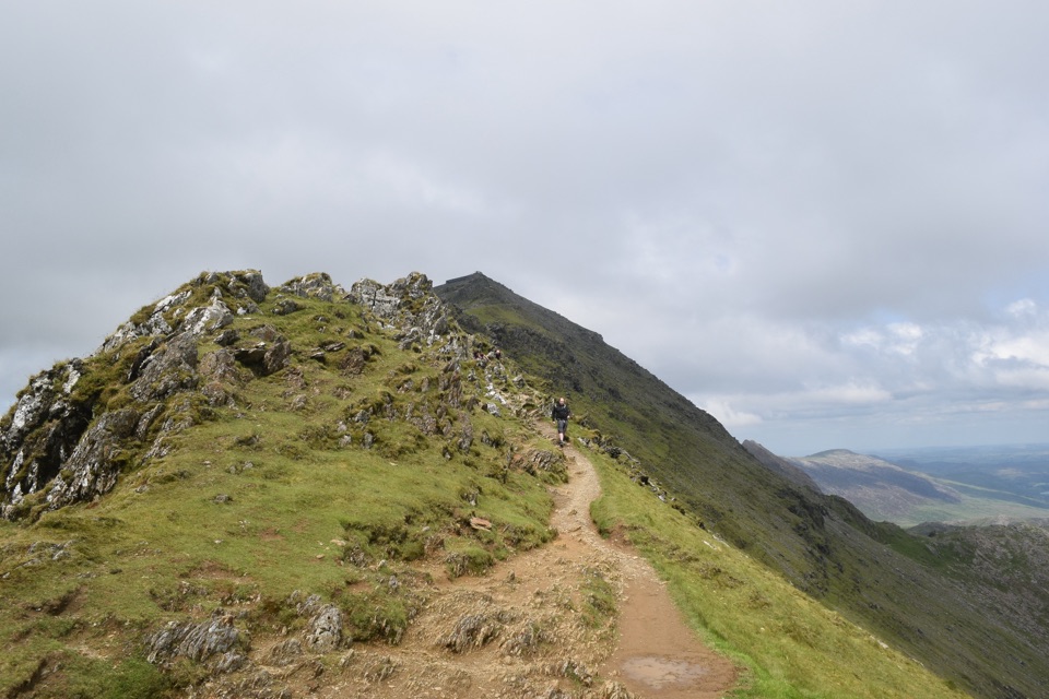 ChallengingRhyd Ddu Path12 km · 6 hr · 6.8 km awayA steep ridge climb to Yr Wyddfa, 12 km there and back
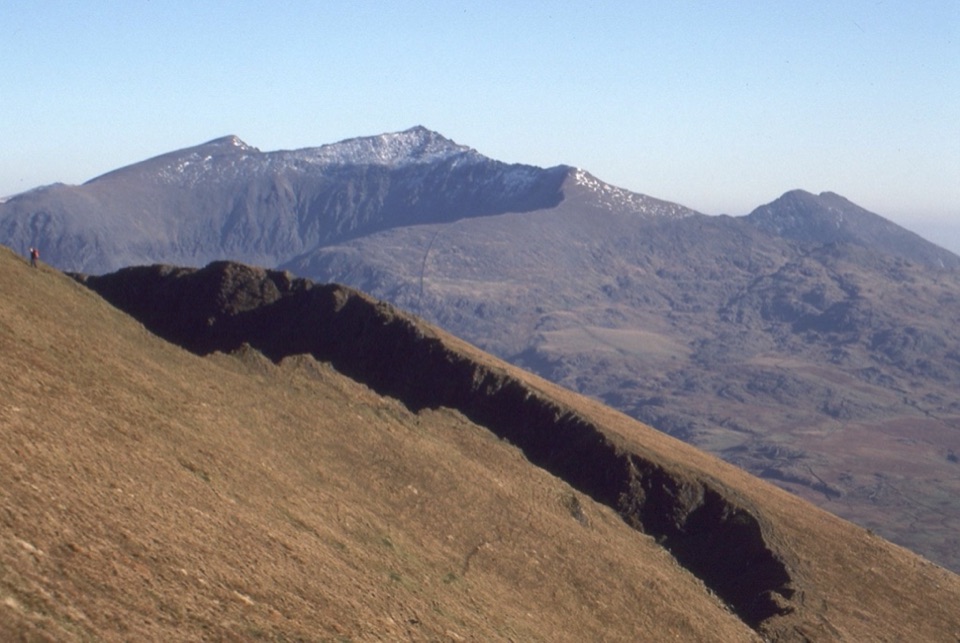 ChallengingNantlle Ridge12.2 km · 6.5 hr · 6.8 km awaySix quiet summits and Grade 1 scrambles on a one-way ridge
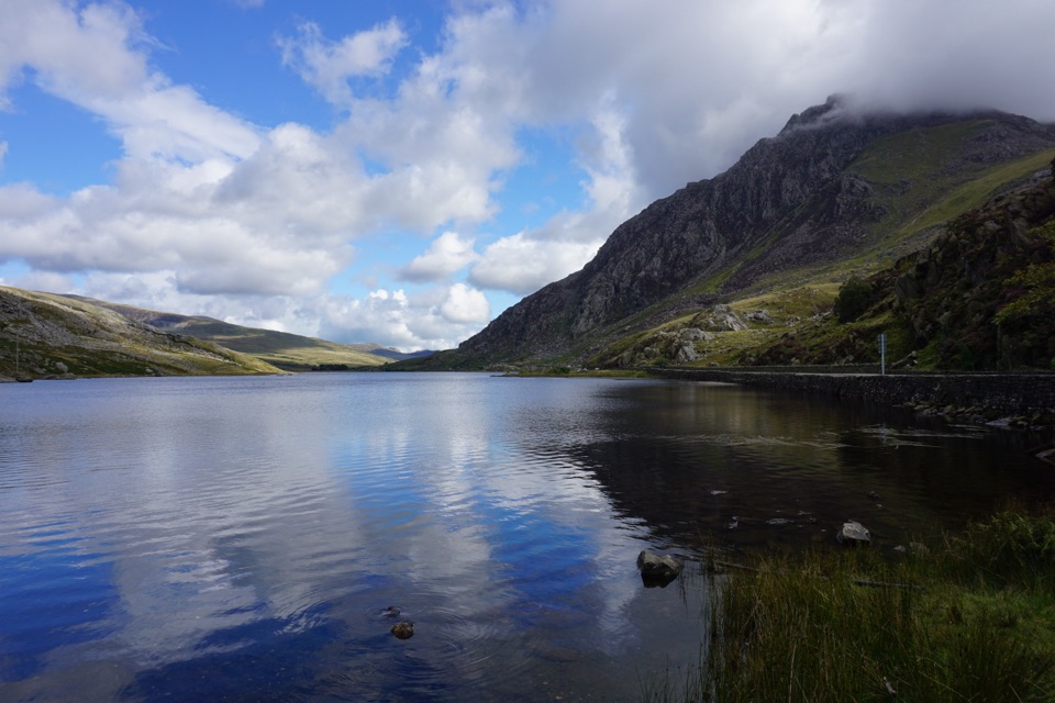 ModerateLlyn Ogwen Circular Walk4.7 km · 1.5 hr · 6.9 km awayBoulder-hopping lakeshore loop under Tryfan, back on the roadside pavement
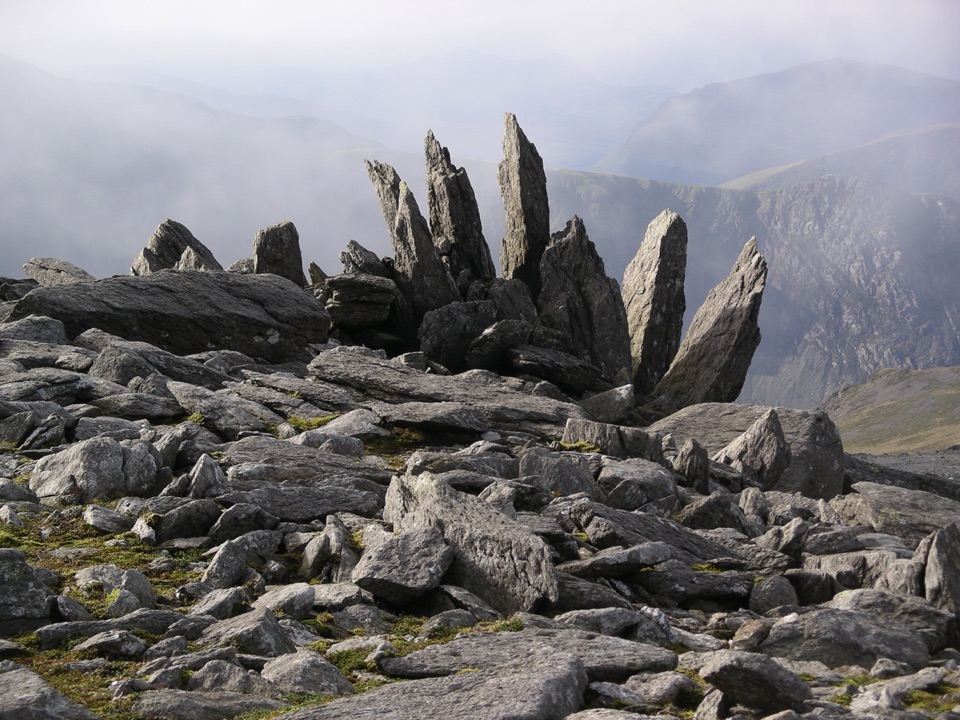 ChallengingGlyder Fawr and Y Garn via Devil’s Kitchen8.9 km · 5 hr · 6.9 km awayGlacial lake, dark cliffs, two 900m summits on one hard rocky loop
 ModerateCwm Idwal Walk4.8 km · 3 hr · 6.9 km awayGlacier-carved bowl, stone lakeside path and the Devil's Kitchen headwall
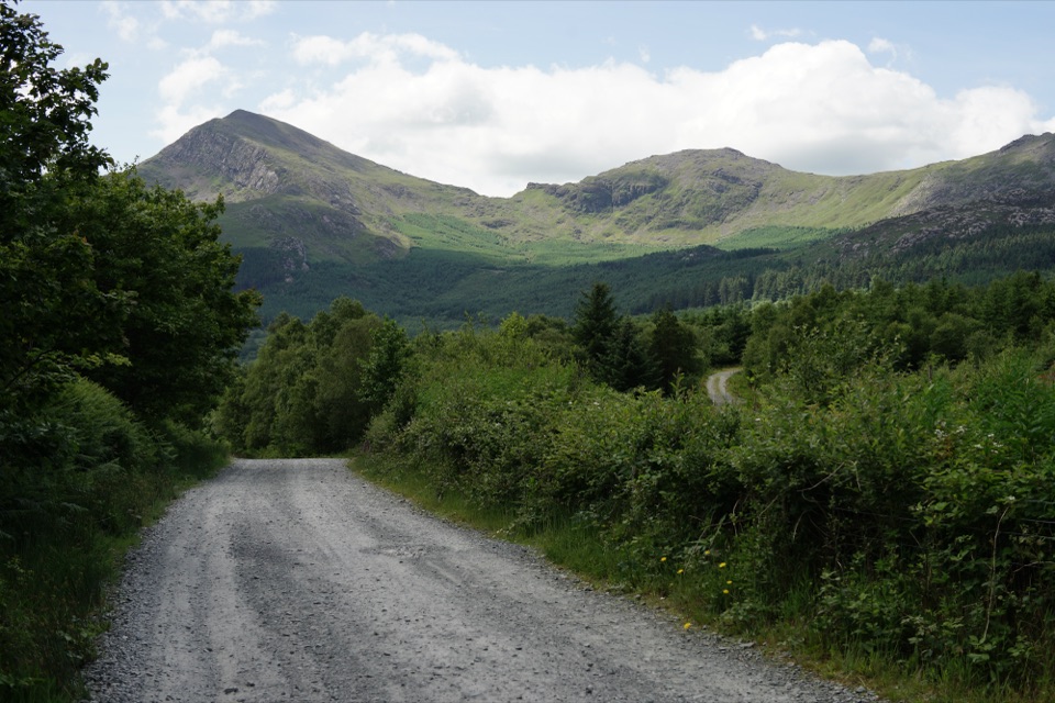 EasyLôn Gwyrfai7.2 km · 3 hr · 7 km awayEasy valley path linking Rhyd Ddu and Beddgelert with Yr Wyddfa views
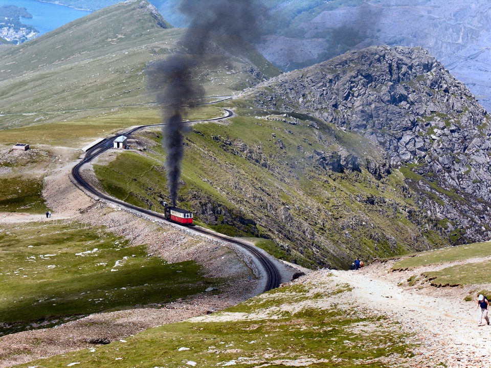 Sight · 0.4 km awaySnowdon Mountain RailwayHistoric rack railway grinds past waterfalls to the Welsh summit
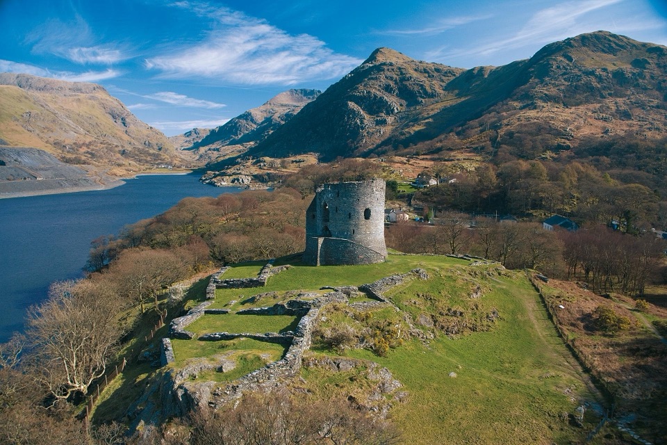 Sight · 0.6 km awayDolbadarn CastleLlywelyn's slate-walled round tower guarding the Llanberis Pass
 Sight · 1 km awayLlanberisA lakeside mountain base with slate heritage and two railways
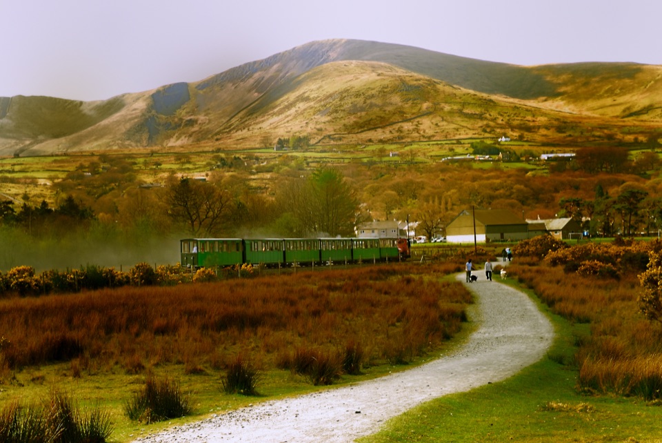 Sight · 1.1 km awayLlanberis Lake RailwayA steam ride threading Llyn Padarn, slate country, and mountain views
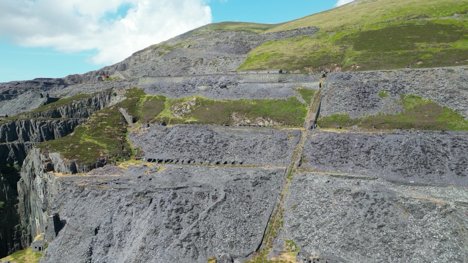 Sight · 2 km awayDinorwig Slate QuarryThirty galleries of abandoned slate terraces high above Llyn Padarn
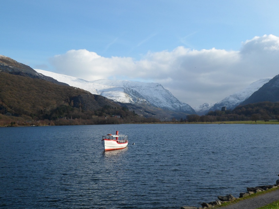 Sight · 2 km awayLlyn PadarnA mountain-ringed lake with slate history and wild-swimming appeal
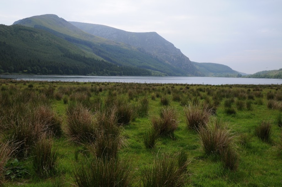 Sight · 5 km awayLlyn CwellynA quiet mountain lake with a rare accessible boardwalk
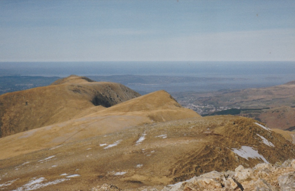 Sight · 5 km awayY Garn (Glyderau)A 947-metre summit with a front-row view of the Glyderau
Parkwolf’s Eryri ranking

The audio tour guide for the drive, plus offline maps, trails, and wildlife heatmaps for when the signal drops.