Parking
Tan y Coed car park, signed from the A487 between Machynlleth and Corris. Free parking, blue-badge spaces and toilets are available; overnight parking is not permitted.
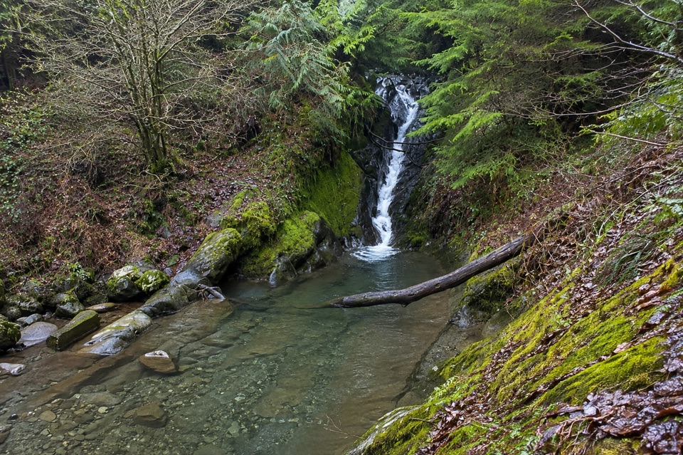
Eryri National Park, WA
Short waymarked woodland loop to a waterfall, with animal clues for kids
Overview
Map & elevation
Plan your hike

The highest, rockiest slopes around here are a summer buffet for grizzly bears.
Eryri Tour Guide
Parkwolf is a GPS audio tour guide for Eryri National Park. As you drive, it chimes in with what’s ahead: hidden gems, upcoming stops, history, geology, and wildlife, right through your car’s speakers.
Recorded for this area
The Forest the War Years Planted“At Tan y Coed, huge Douglas firs shade the picnic area. The forest around them has a surprisingly recent story. The Forestry Commission began planting here after the First World War to build Britain's timber reserve.”
Plays on the road 0.2 km from the trailhead in the Parkwolf Eryri Tour Guide.
More stories near here in the app
“Fantastic app with many points of information… It’s great to just turn on while you’re driving and it gives you an audio tour of the national Park. We love it!!!!”


Trail guide
A circular 1.1 mile / 1.8 km loop on red waymarkers, starting and finishing at the Tan y Coed car park in Dyfi Forest. Allow about an hour, more if children are working through the numbered animal clues. Graded moderate, and genuinely so: this is a small walk with real steps and gradient in it, not a level stroll.
From the car park the route climbs away on forest road, then swaps onto rougher unmade rights of way through conifers and beech woodland. It drops to the Nant Cwmcadian riverside, reaches the Pistyll Nant Cwmcadian waterfall, threads through the rock passage, and returns to the car park on the marked loop, sharing some paths with the longer trail at the site.
The waterfall and the stretch beside the stream are the reward. The rest is quiet, close-canopy woodland with the sound of moving water below you for a good part of the way.
There are two benches and two picnic tables along the way, which suits a slow family pace with pauses.
Numbered posts set animal puzzles, covering creatures such as robin, squirrel, owl, woodpecker, fox, hazel dormouse, buzzard and badger. Treat them as prompts for looking and listening rather than a promise of sightings. Realistically you may hear more than you see: small birds in the canopy, and occasional movement in the leaf litter.
The car park is signed from the A487 between Machynlleth and Corris, roughly 3.5 miles north of Machynlleth, on the left. There is free parking, blue-badge spaces and toilets, and no overnight parking. Dogs are welcome at the site; keep yours under control near the river and on the narrow, uneven stretches where there is little room to manoeuvre around other walkers.
The separate Tan y Coed Trail starts from the same car park and runs about 2.3 km with more climbing. Pick that one if you want a longer forest walk, or link a visit to both if you have a half day and legs for the gradient.
Wildlife
 77 sightingsGrey HeronMost seen around 7 AMSighting map
 17 sightingsTawny OwlMost seen around 6 AMSighting map
 32 sightingsCommon RavenMost seen around 8 AMSighting map
 21 sightingsGreat Spotted WoodpeckerMost seen around 7 AMSighting map
 18 sightingsEuropean RabbitMost seen around 7 AMSighting map
 161 sightingsViviparous LizardMost seen around 10 AMSighting map
Sighting maps show where each species has been reported across Eryri. Wildlife moves, so no sighting is guaranteed.
Keep exploring
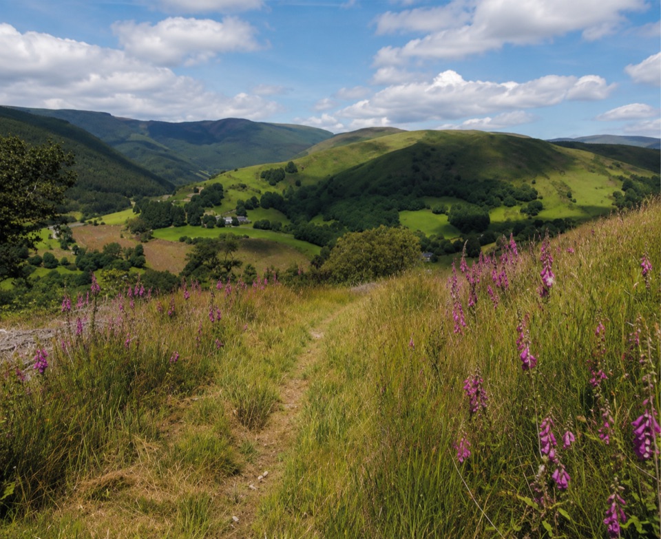 ChallengingPen y Bryn Trail3.4 km · 1.5 hr · 4.2 km awaySteep oak-wood climb to a derelict farmstead and hilltop bench views
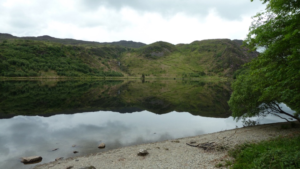 ChallengingSnowdonia Way156.5 km · 2 days · 4.7 km awayMachynlleth to Conwy on foot: valleys, passes and quiet slate country
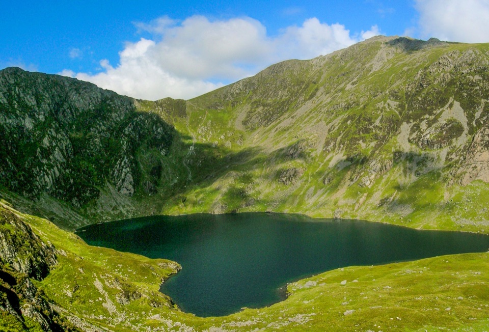 ChallengingSnowdonia Way Mountain Route188.3 km · 3 days · 4.7 km awayHigh-level trek over Cadair Idris, Cnicht, Yr Wyddfa and the Glyders
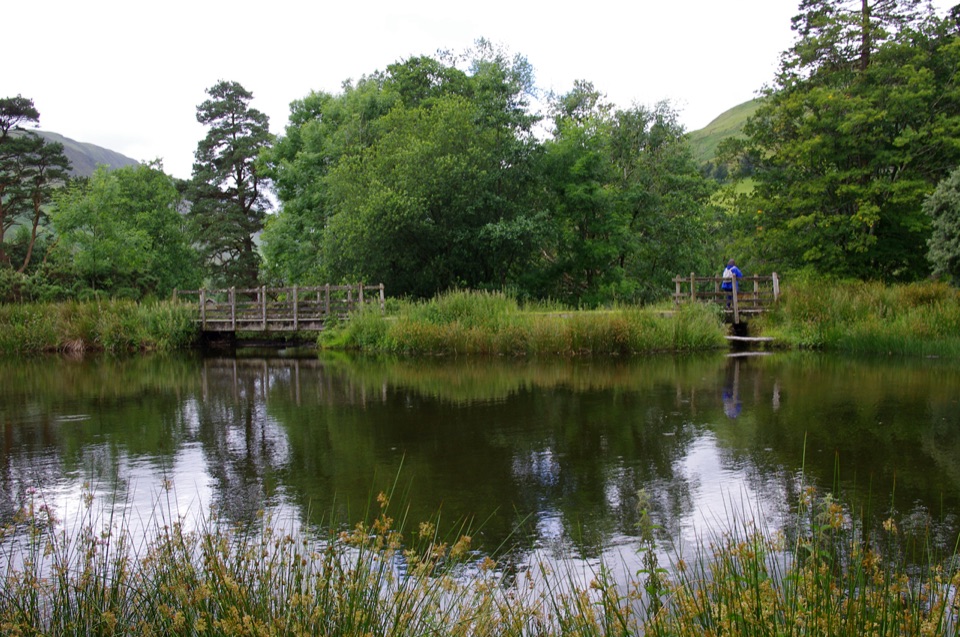 EasyDôl Idris Lake0.6 km · 24 min · 6.6 km awayStep-free lake circuit with fish ladder, footbridge and lakeside birdlife
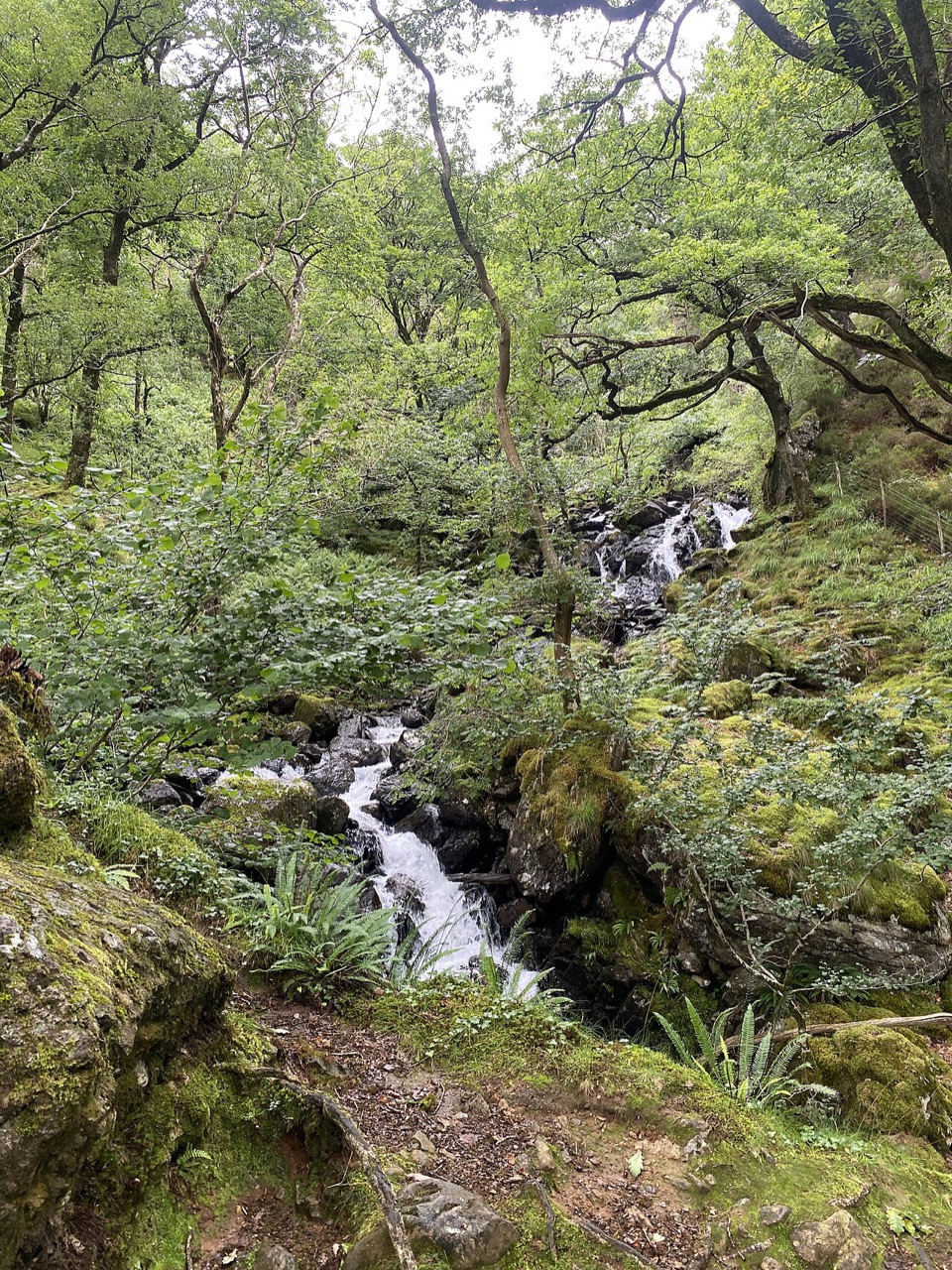 ModerateGorge Climb0.3 km · 23 min · 6.6 km awaySteep stone steps climb a mossy gorge to a waterfall viewpoint bench
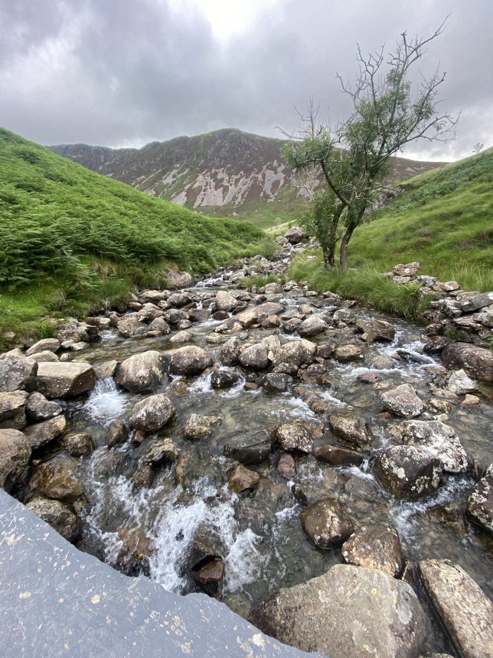 ChallengingNant Cadair Bridge2.1 km · 1.3 hr · 6.6 km awaySteep stepped climb through a waterfall gorge to a slate mountain bridge
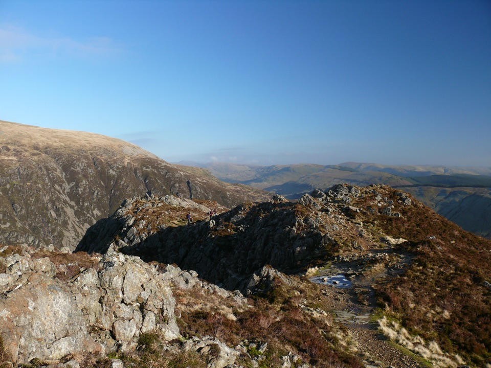 ChallengingMinffordd Path9 km · 5.5 hr · 6.6 km awayWaterfalls, Llyn Cau's cwm, and a scrambly cliff-edge push to PenygadairEasyParkland Circuit (Dôl Idris)0.9 km · 30 min · 6.6 km awayA gentle parkland loop around Llyn Dôl Idris
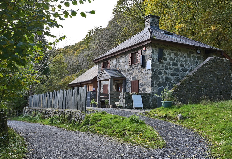 Visitor center · 6.7 km awayCader Idris Visitor CentreA stone mountain base with wildlife exhibits and gentle woodland paths
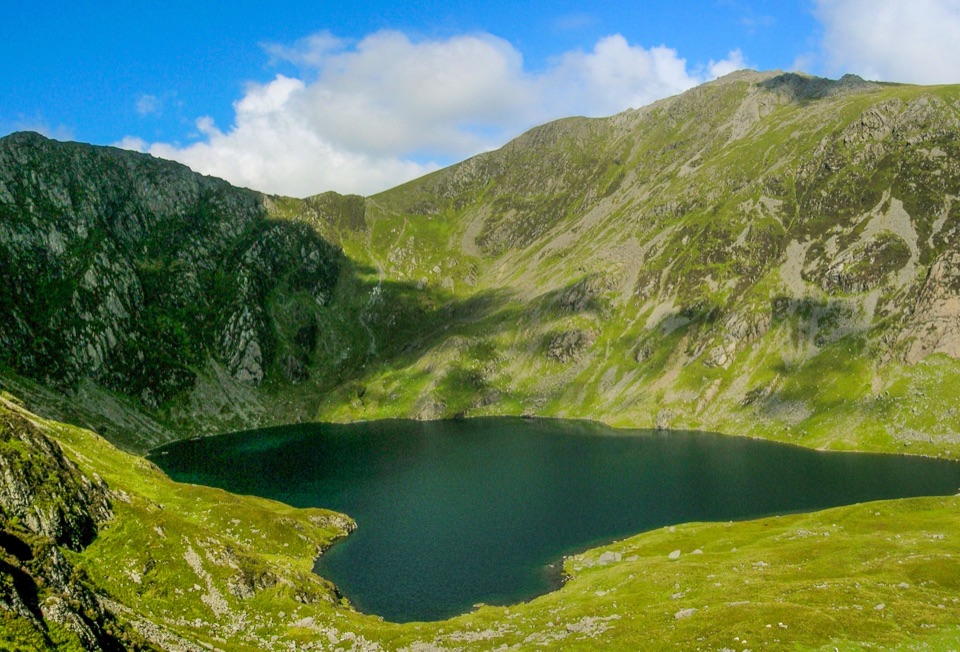 Sight · 8 km awayLlyn CauA glacial lake tucked beneath Cadair Idris's steep crater rim
 Sight · 8.8 km awayCader IdrisA high rocky summit above the dark bowl of Llyn Cau
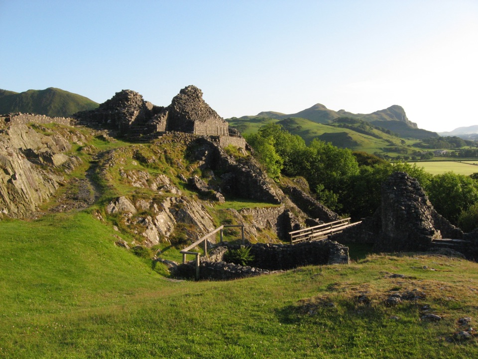 Sight · 9.2 km awayCastell y BereRuined Welsh stronghold on a rocky crag above the Dysynni
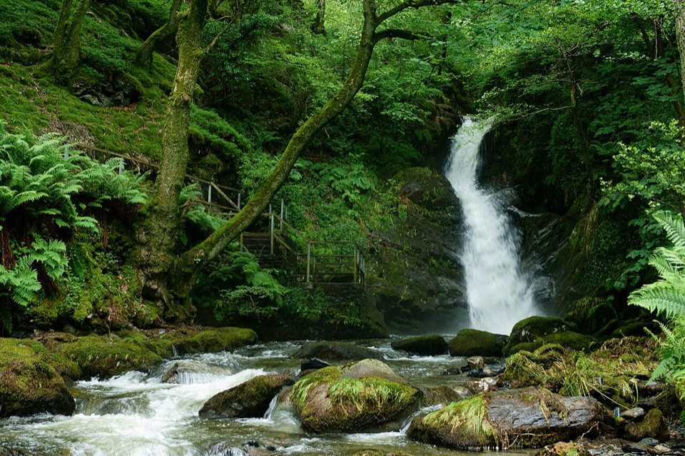 Sight · 10.5 km awayDolgoch FallsThree forest waterfalls linked by a steep, atmospheric ravine walk
 Sight · 12.6 km awayTŷ SiamasA Welsh folk-music centre in a handsome former market hall
 Sight · 12.7 km awayDolgellauGrey dolerite townscape and tangled lanes beneath Cader Idris
 Sight · 14.5 km awayCymer AbbeyThree medieval arches frame the Mawddach valley
Parkwolf’s Eryri ranking

The audio tour guide for the drive, plus offline maps, trails, and wildlife heatmaps for when the signal drops.




