Parking
Craflwyn National Trust car park, Beddgelert, Gwynedd, LL55 4NG, roughly one mile outside Beddgelert on the A498. Toilets and a picnic area are at the start.
Eryri National Park, WA
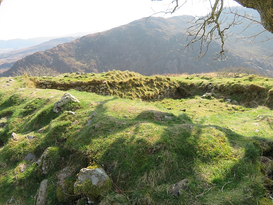
Woodland climb to a hillfort summit above Llyn Dinas and Nant Gwynant
Overview
An out-and-back walk of 2.2 miles (3.52 km) round trip, starting and finishing at the National Trust car park at Craflwyn (grid reference SH600489). Allow 1 hour 30 minutes to 2 hours 30 minutes, and expect to retrace your outward route from the summit. The official grade is Moderate.
Map & elevation
Plan your hike

The highest, rockiest slopes around here are a summer buffet for grizzly bears.
Eryri Tour Guide
Parkwolf is a GPS audio tour guide for Eryri National Park. As you drive, it chimes in with what’s ahead: hidden gems, upcoming stops, history, geology, and wildlife, right through your car’s speakers.
Recorded for this trailhead
Dinas Emrys from Craflwyn“You're approaching Craflwyn, the start of the walk to Dinas Emrys, a wooded hillfort tied to Wales's red dragon.”
Plays as you drive up to this trailhead in the Parkwolf Eryri Tour Guide.
More stories near here in the app
“Fantastic app with many points of information… It’s great to just turn on while you’re driving and it gives you an audio tour of the national Park. We love it!!!!”


Trail guide
The route begins at the Princess of Gwynedd centre at Craflwyn and heads into oak woodland, passing a carved dragon bench and a small waterfall known as Merlin's Pool. After a stile, the path steepens into a zig-zag climb over a rocky outcrop to the top of Dinas Emrys, where the ground levels out among the remains of a square tower and defensive ramparts associated with the ancient princes of Gwynedd. Views open up near the summit toward Llyn Dinas and Nant Gwynant.
The first part is mainly gentle uphill, but the final section is steep and rocky. Surfaces are uneven throughout, with steps, a small bridge and a stile, and sections that can be muddy. There is one tricky rock section close to the top that needs particular care when wet, so boots with good grip are sensible. Elevation samples along the mapped corridor sit roughly between 80 and 120 metres and rise unevenly rather than in one steady pull, which matches the mix of short climbs, dips and the sharper finish. This is a proper hill walk rather than a level woodland stroll.
The lower half is enclosed woodland with streams and the waterfall, so the wider views are saved for the last stretch and the summit itself. The hillfort earthworks and the outlook over Llyn Dinas and the Nant Gwynant valley are the main photographic subjects. The dragon legend attached to the hill is long-standing local story rather than recorded history, and the visible remains are the archaeological part of the site.
Dogs are welcome on leads.
Use the National Trust car park at Craflwyn, Beddgelert, Gwynedd, LL55 4NG, roughly one mile outside Beddgelert on the A498. Toilets and a picnic area are available at Craflwyn, and the walk starts and ends at the same point, so no return transport is needed.
Wildlife
 77 sightingsGrey HeronMost seen around 7 AMSighting map
 17 sightingsTawny OwlMost seen around 6 AMSighting map
 32 sightingsCommon RavenMost seen around 8 AMSighting map
 21 sightingsGreat Spotted WoodpeckerMost seen around 7 AMSighting map
 18 sightingsEuropean RabbitMost seen around 7 AMSighting map
 161 sightingsViviparous LizardMost seen around 10 AMSighting map
Sighting maps show where each species has been reported across Eryri. Wildlife moves, so no sighting is guaranteed.
Keep exploring
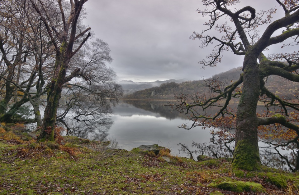 ModerateCraflwyn, Hafod y Llan and Llyn Dinas Walk10.5 km · 3.5 hr · At the trailheadOak woods, waterfalls and open heath on a loop to Llyn Dinas
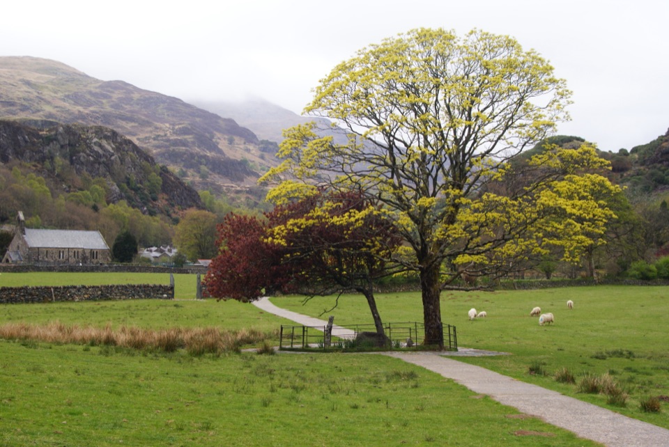 EasyGelert's Grave Walk2.1 km · 45 min · 1.2 km awayShort riverside loop to Gelert's stone memorial, with herons and dippers
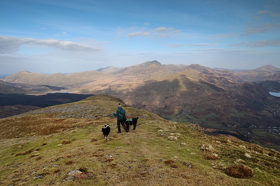 ChallengingMoel Hebog Circular10.6 km · 5 hr · 1.4 km awaySteep scree, three summits, then a forest descent back to Beddgelert
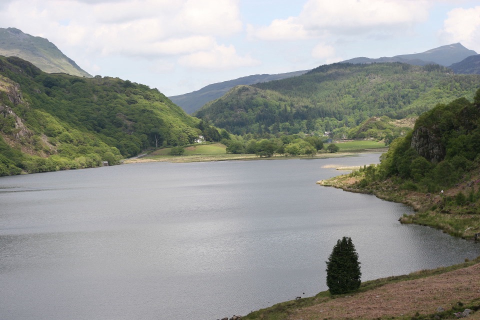 ChallengingFisherman’s Path and Cwm Bychan10 km · 5 hr · 1.4 km awayA strenuous gorge and copper-mine loop from Beddgelert village
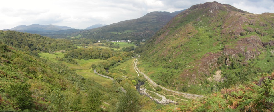 ChallengingAberglaslyn, Bryn Du and Beddgelert Walk5.6 km · 2 hr · 2.8 km awaySteep woodland climb to Bryn Du, then Gelert's grave and river paths
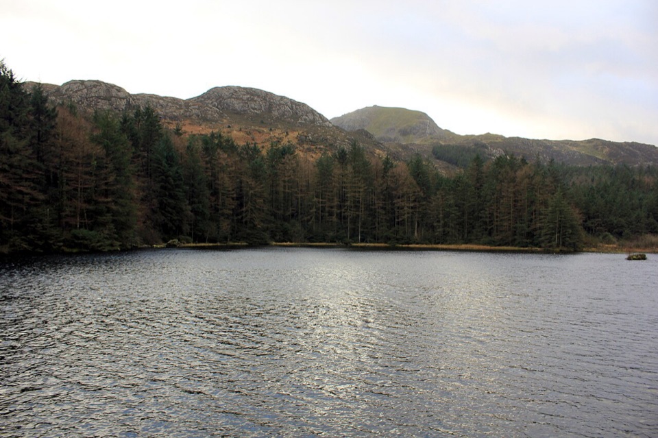 ModerateLlyn Llywelyn Walk4.3 km · 2.5 hr · 2.9 km awayForest roads climb to a hidden reservoir with Yr Wyddfa views
 ChallengingWatkin Path12.9 km · 6 hr · 3.3 km awayWaterfalls, slate ruins and a brutally steep finish to Yr Wyddfa's summit
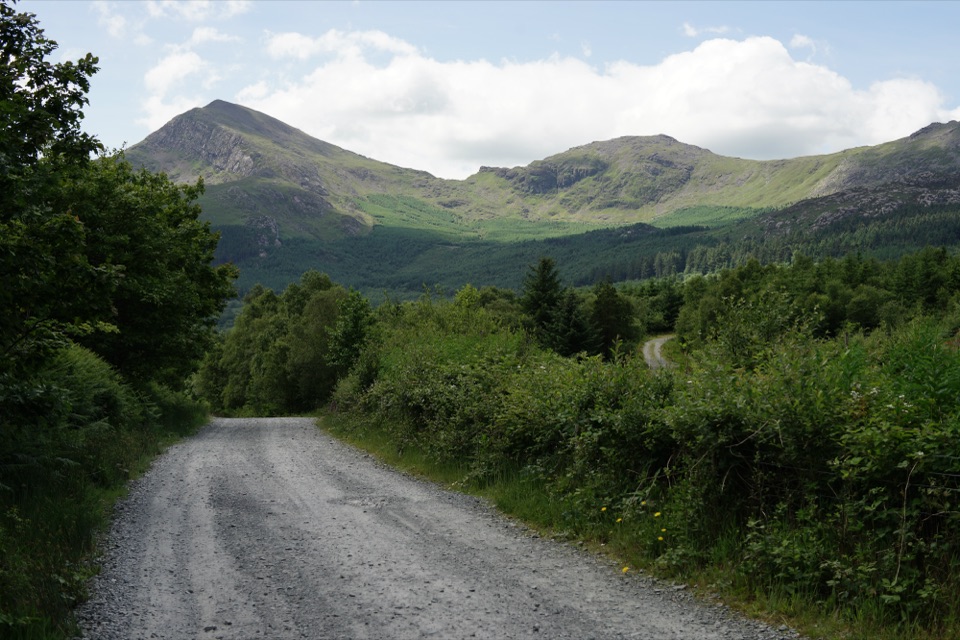 EasyLôn Gwyrfai7.2 km · 3 hr · 4.6 km awayEasy valley path linking Rhyd Ddu and Beddgelert with Yr Wyddfa views
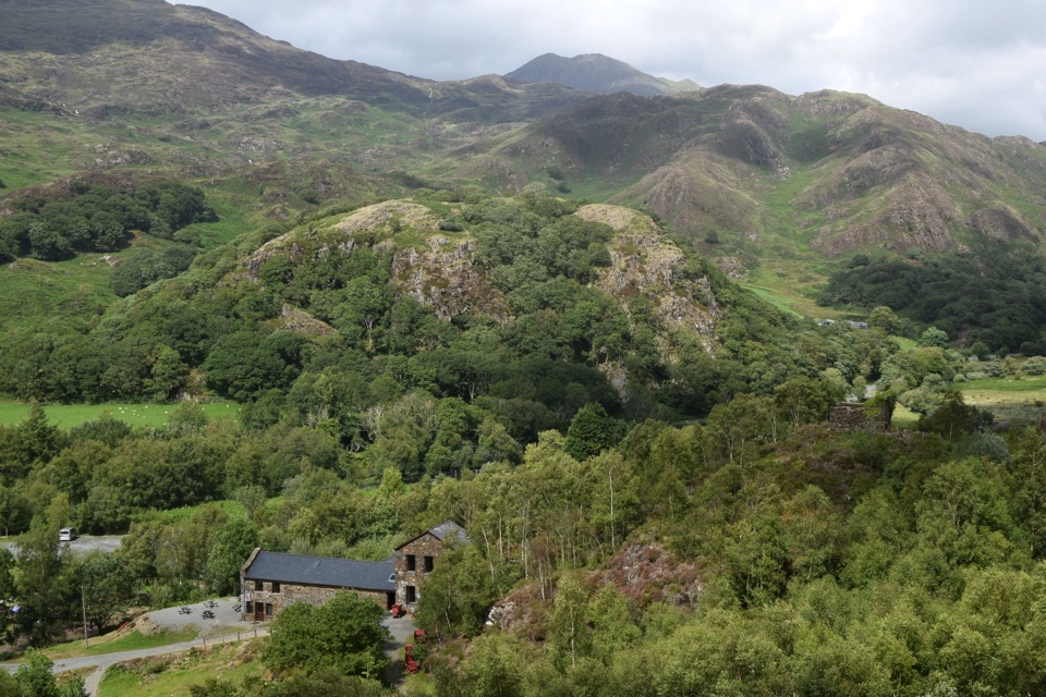 Sight · 0.5 km awaySygun Copper MineVictorian mine tunnels climb to a surprise mountain panorama
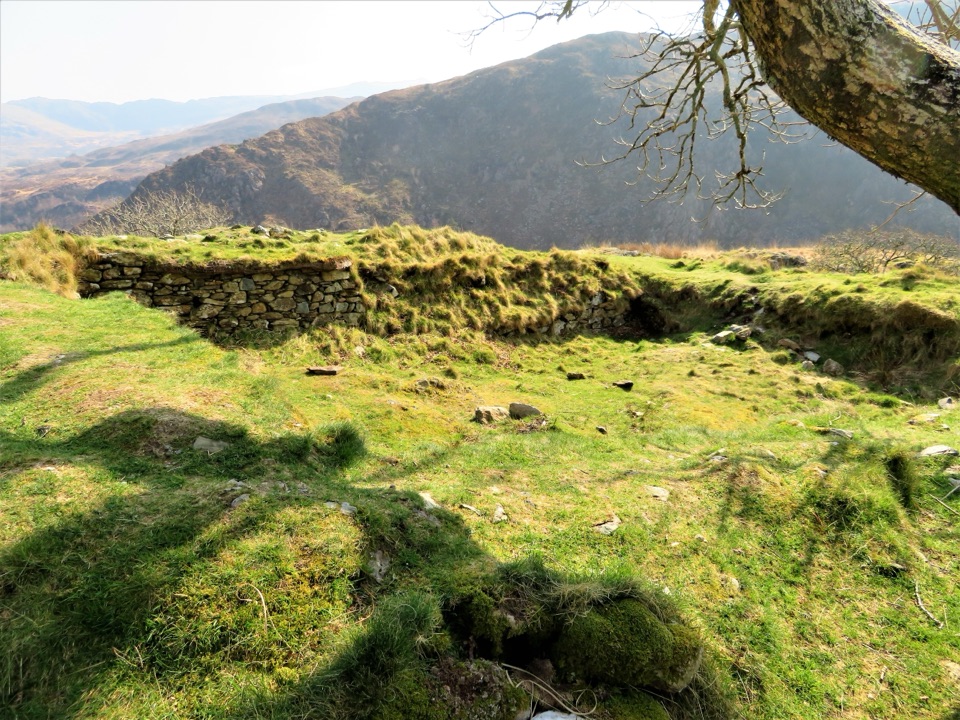 Sight · 0.7 km awayDinas EmrysA dragon legend, hillfort ruins, and a big Nant Gwynant view
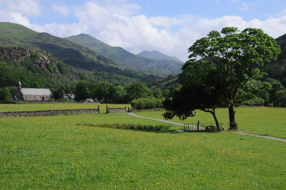 Sight · 1.3 km awayBeddgelertSlate-roofed village where two rivers meet beneath rugged peaks
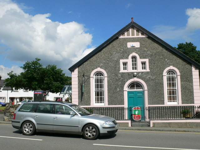 Visitor center · 1.4 km awayBeddgelert Information CentreA practical base for maps, mountain days, and Beddgelert know-how
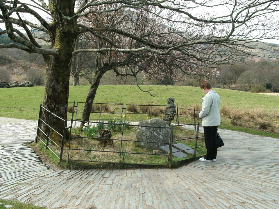 Sight · 1.5 km awayBedd Gelert (Gelert's Grave)A riverside memorial wrapped in Wales' most famous dog legend
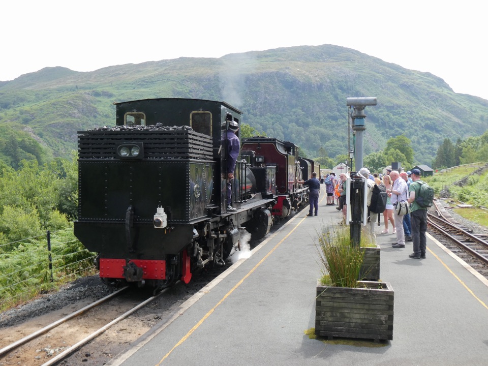 Sight · 1.5 km awayWelsh Highland RailwaySteam, mountain scenery, and a historic ride through Eryri
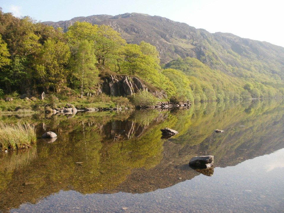 Sight · 1.9 km awayLlyn DinasMirror-calm Glaslyn water beneath the dragon-legend hill of Dinas Emrys
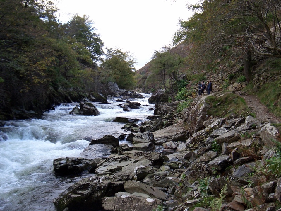 Sight · 2.7 km awayAberglaslyn PassA rushing river threading a dramatic wooded gorge
Parkwolf’s Eryri ranking

The audio tour guide for the drive, plus offline maps, trails, and wildlife heatmaps for when the signal drops.



